Prairie Bluff V
May 20, 2017
 Mountain
height: 2258 m
Mountain
height: 2258 m
Elevation gain: 558 m
Ascent time: 1:50
Descent
time: 0:55
Solo
scramble
Recent May Long weekends in
this neck of the woods have been plagued with terrible weather – but not that
of 2017! The weather was predicted to be beautiful and so I took the
opportunity to repeat the ascent route up Prairie Bluff that I had discovered
in March of this year. The route was far more scenic than expected on that day and so a
repeat ascent with stellar weather was imperative! I also picked the late start
time of 6:45 pm, so that the Sun would be lighting
up the ascent route and there was a chance for sunset photos.
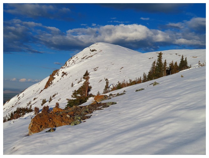
The big surprise, upon
reaching the start point, was the new snow. A storm had deposited 15 cm of fresh
snow on everything in Southern Alberta a week earlier, making the trip feel
more like a winter ascent, as opposed to a late May one in the front
ranges!
 Of course, that snow (as it
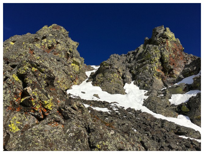
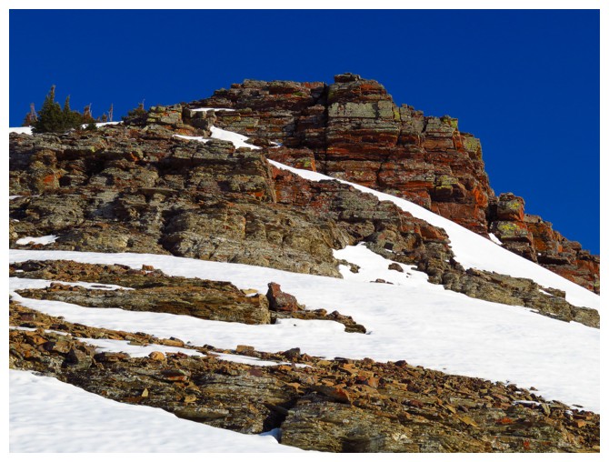
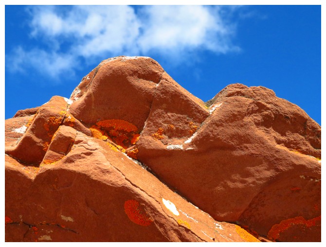
always does) only enhanced the scenery and made the ascent easier. The first
rockband, the main source of surprise on my first trip, was simply stunning,
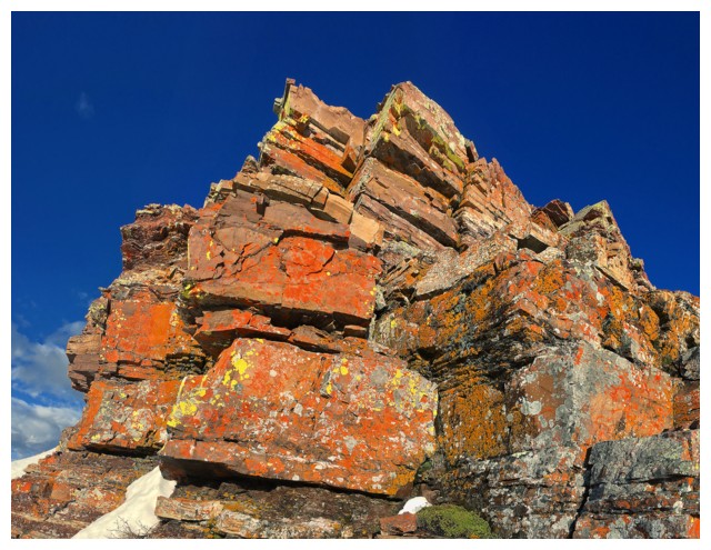
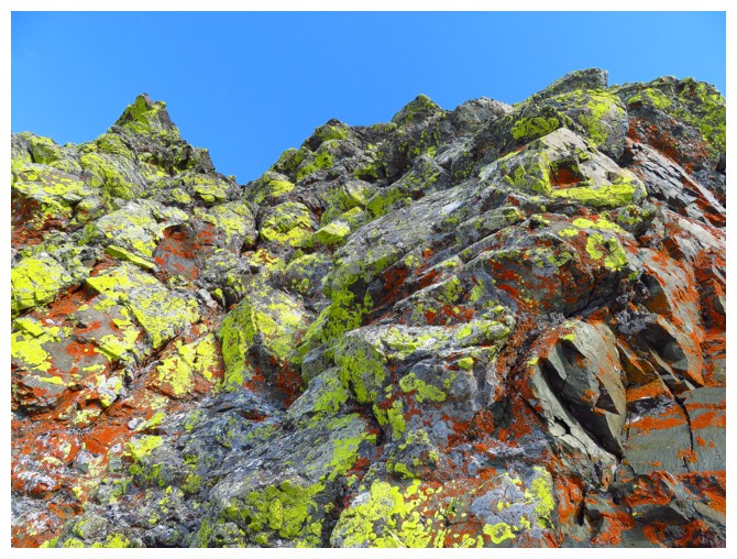
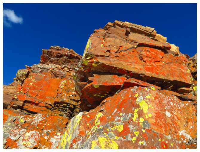
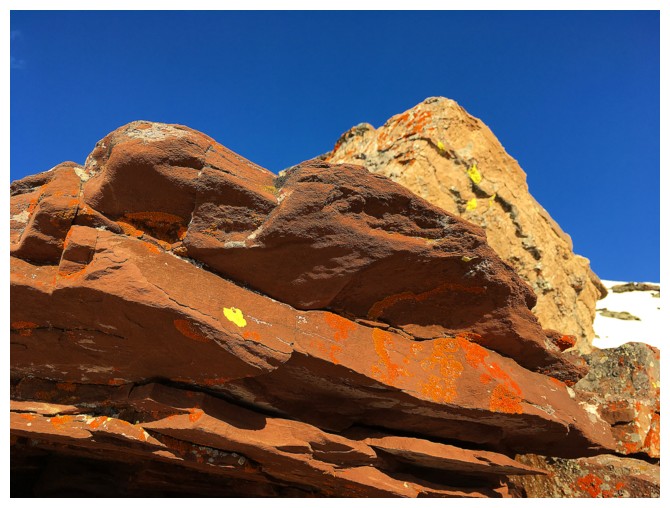
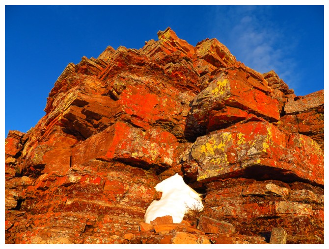
with the snow and clear skies. What I wasn’t ready for was the second rockband,
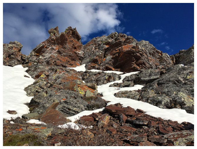
comprised of red argillite. I had bypassed it on the first trip, but decided to
explore a little given the favourable weather. In short, this rockband was
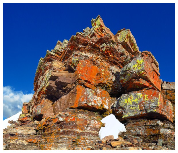
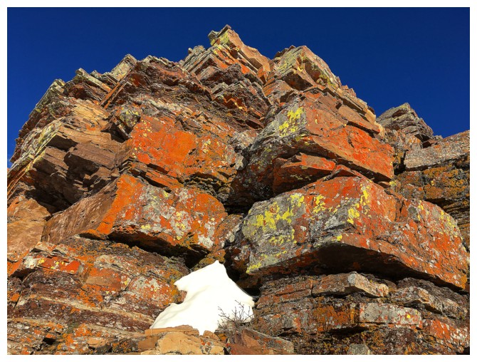
mind-boggling!!!! Different shades of red argillite, with orange and yellow lichens
and a splash of snow here and there. Plus there was an easy scramble route up
it. I was so mesmerized by this section of the trip that, upon arriving at the top, I actually went down
and around the rockband and then reascended it, just to make sure I had fully
experienced all that was there!!
Of course, that snow (as it
always does) only enhanced the scenery and made the ascent easier. The first
rockband, the main source of surprise on my first trip, was simply stunning,
with the snow and clear skies. What I wasn’t ready for was the second rockband,
comprised of red argillite. I had bypassed it on the first trip, but decided to
explore a little given the favourable weather. In short, this rockband was
mind-boggling!!!! Different shades of red argillite, with orange and yellow lichens
and a splash of snow here and there. Plus there was an easy scramble route up
it. I was so mesmerized by this section of the trip that, upon arriving at the top, I actually went down
and around the rockband and then reascended it, just to make sure I had fully
experienced all that was there!!
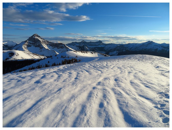
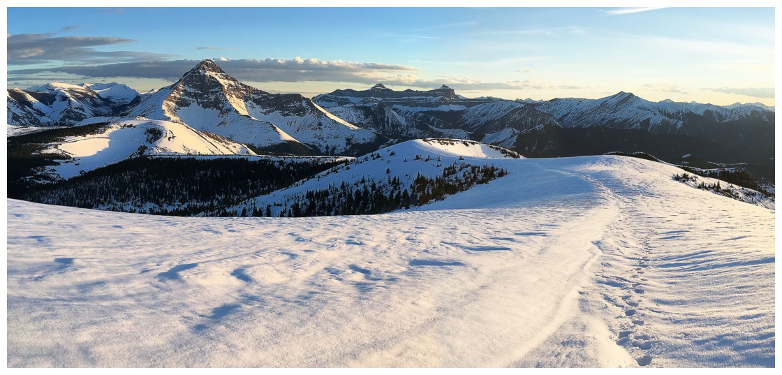
A snow covered ridgewalk to
the summit rendered it the most enjoyable of any of my previous four trips to
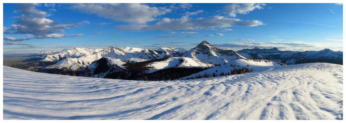
the top of Prairie Bluff. Views of Victoria Peak and others mountains of The
Castle were spectacular throughout and the summit ridge was lined with an
unusually long and narrow snow drift, courtesy of the earlier storm.
Already satiated beyond
imagination, I didn’t think the descent could possibly be any better than the
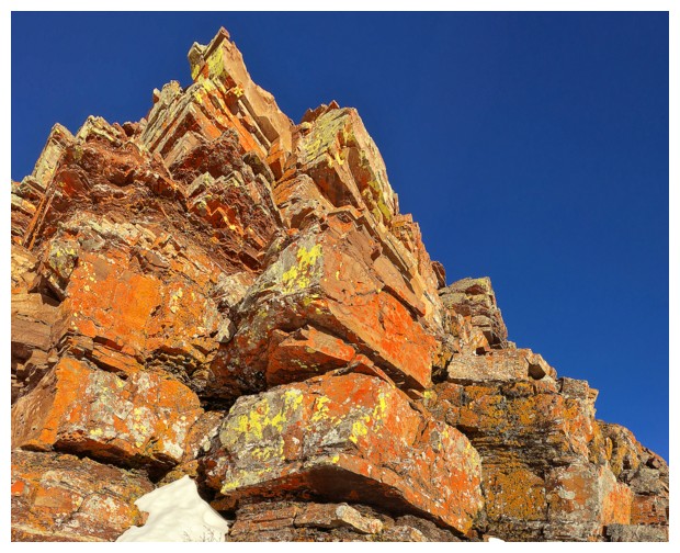
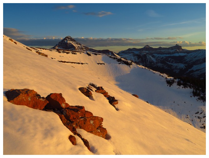
ascent. However, with the Sun dipping down towards
the horizon, the colours of the red argillite band were even more brilliant.
Unfortunately it didn’t make it down to the dark rockband before the Sun had completely set, but that’s for another day!
Even with multiple stops on
the way down to check out the cool rock, the descent was less than an
hour.
Totally awesome day –
definitely one of my favourite new routes in the Rockies!!!
Given that this route will
have to wait for a potential fourth edition of More Scrambles, here is a
link to the full route description that may appear in any subsequent editions
of the book.
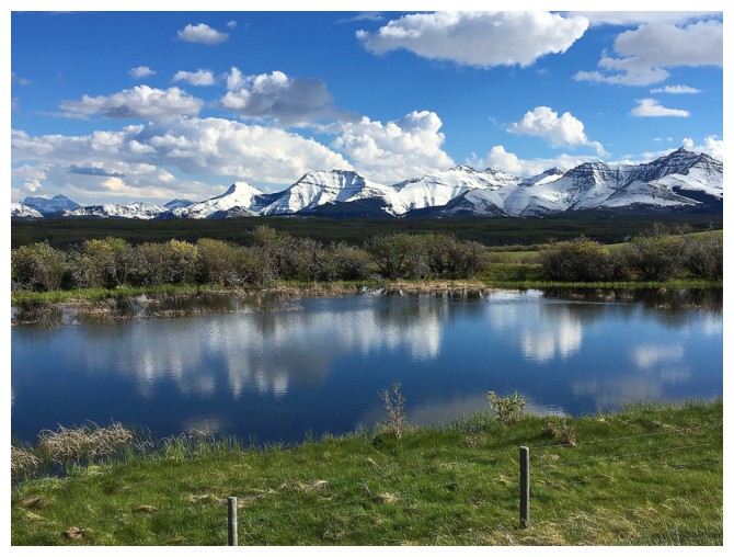
The good views start long before you even reach the trailhead. Major peaks include
Cleveland, Rogan, Dungarvan, Cloudy Ridge and Roche (Spread Eagle)
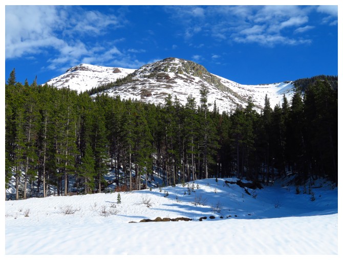
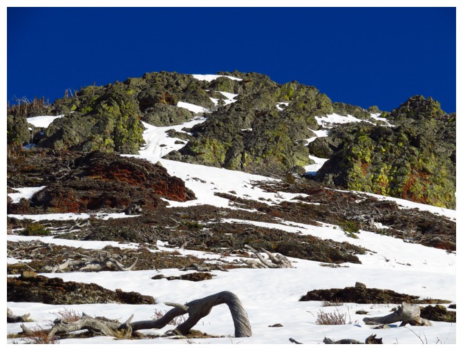
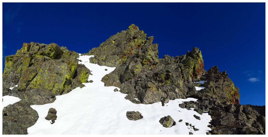
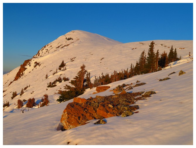
The route. Summit at the left
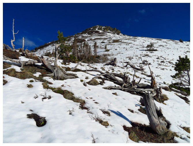
15 minutes later you are already above treeline
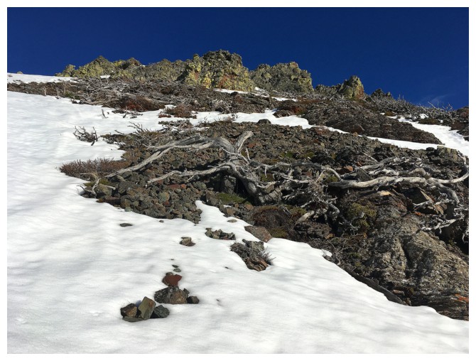
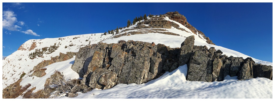
Getting excited about seeing the first rockband!
Finally there! (really it's only a 10 minute slog from treeline to this incredible rockband)
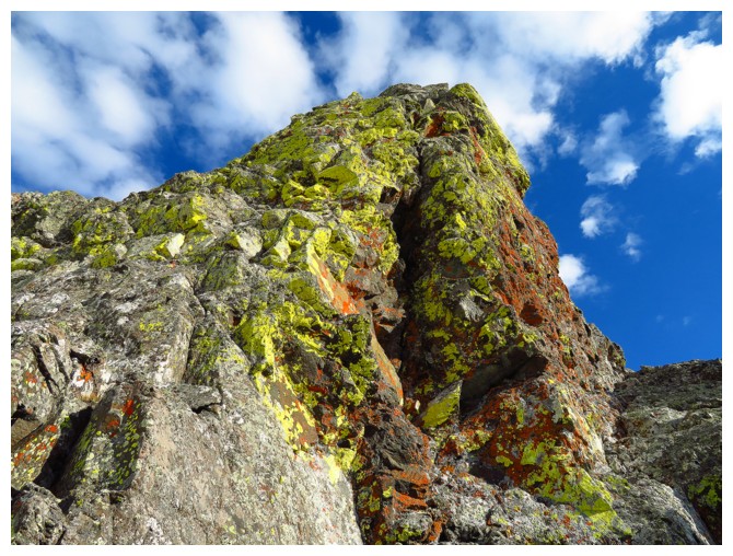
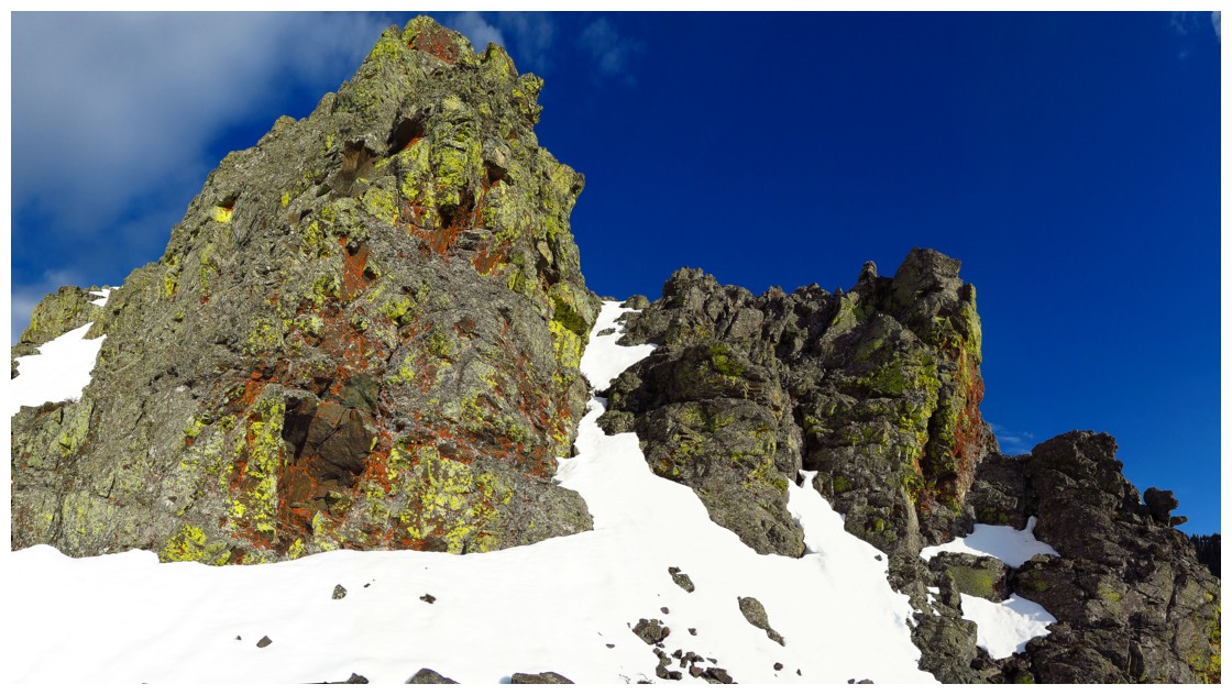
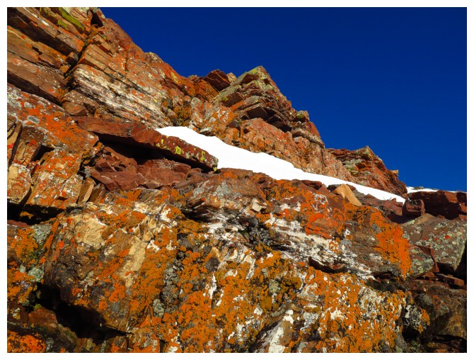
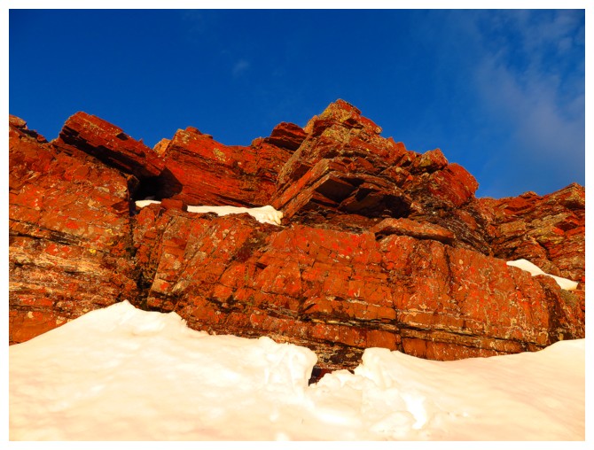
Above the lichen covered dark band, sits a small band of red argillite
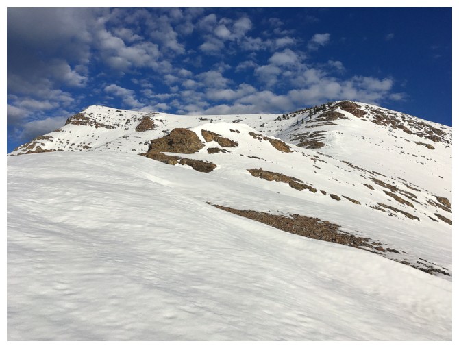
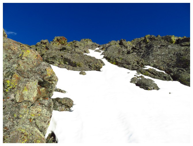
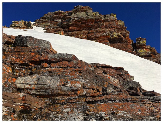
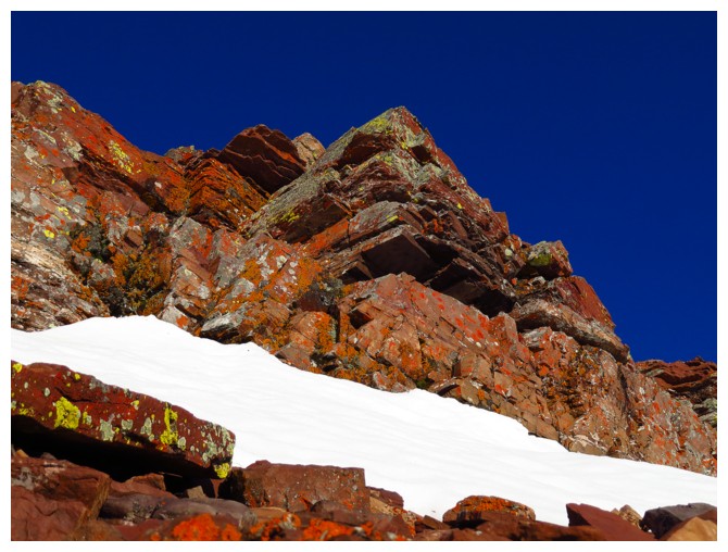
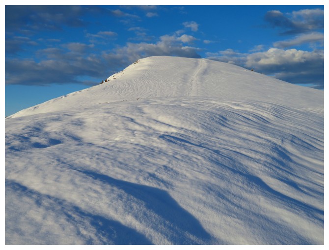
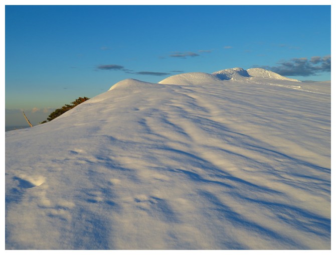
Way more snow than on my March trip
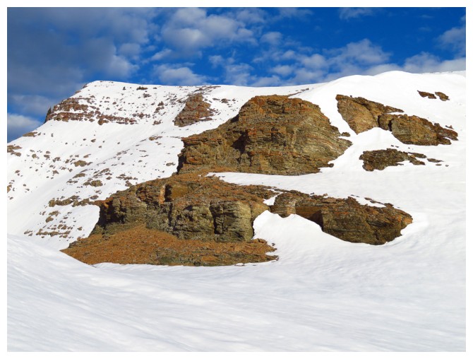
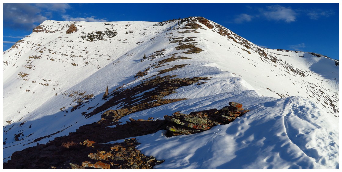
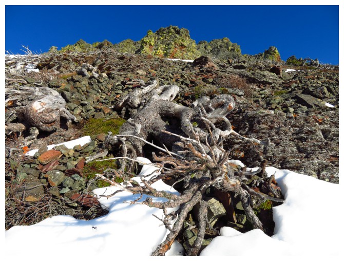
Pleasant ridgewalking to the next rockband
Windsor Mountain (left) and Castle Peak (right)
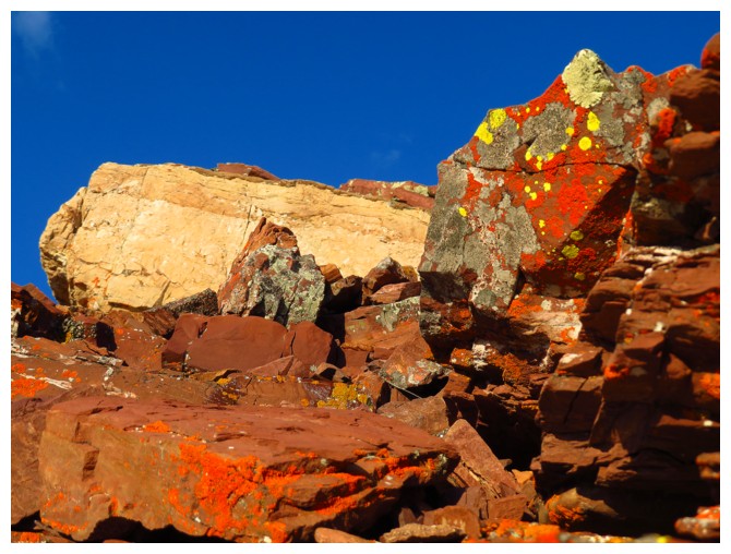
Tons of beautiful rock throughout
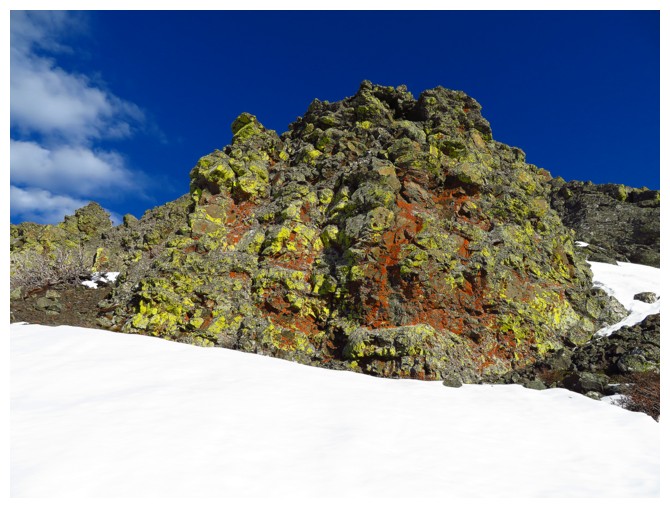
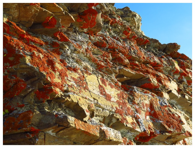
Here comes the major red argillite band
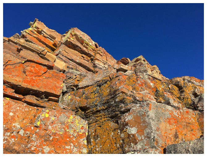
Super cool!!!!!
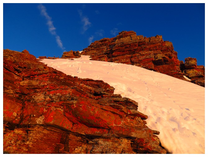
Able to pull myself away from the red band and finish the ascent
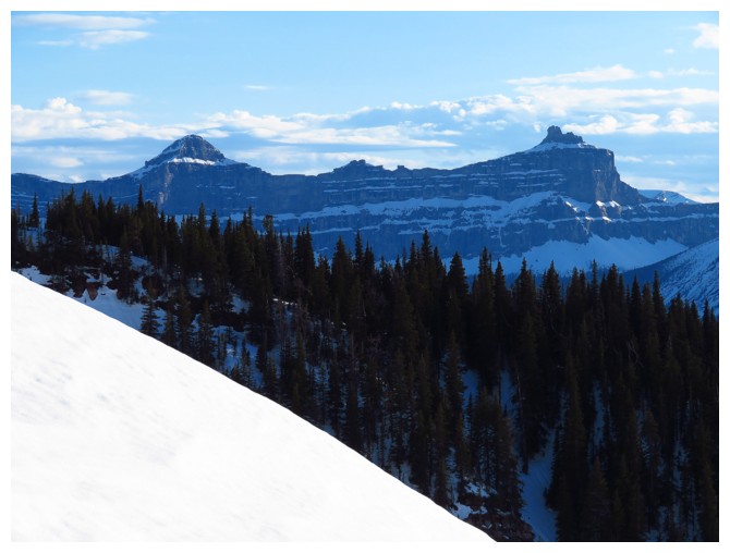
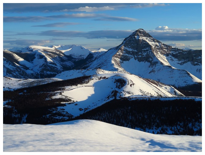
Views the Victoria Peak were awesome
That's pretty snowy for mid-May
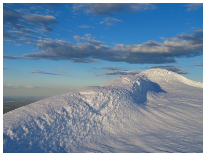
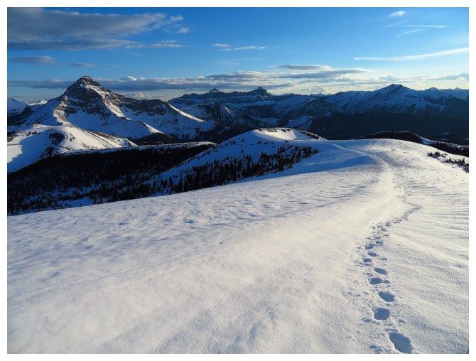
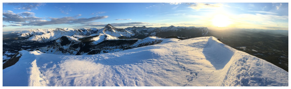
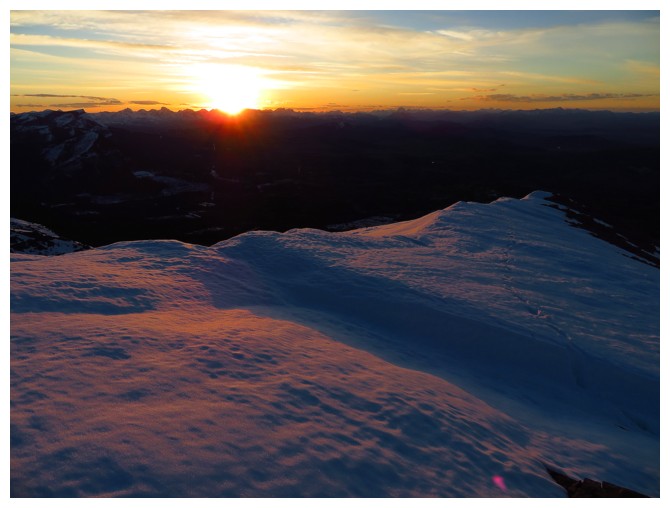
The cool snow drift at the summit
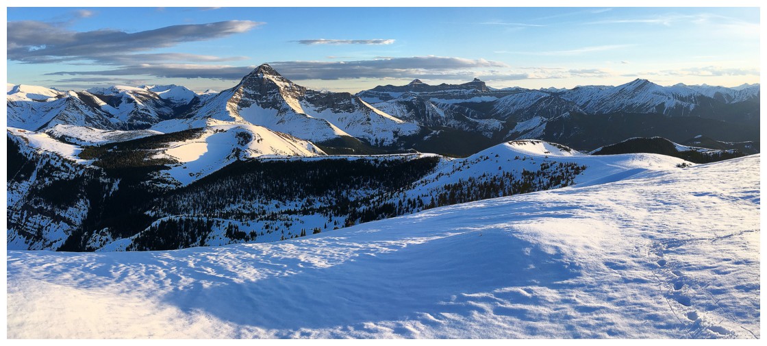
Great views from the top
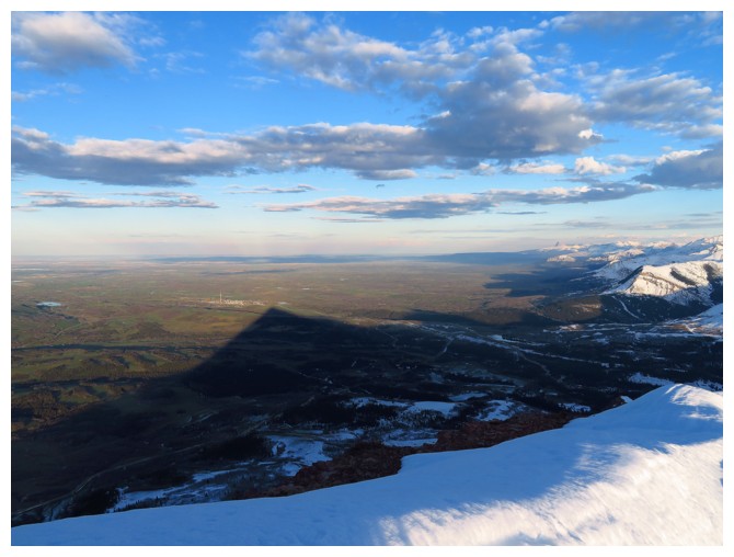
Prairie Bluff casts its distinctive shadow over the foothills/prairies
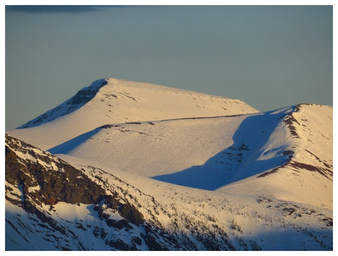
Good old Loaf Mountain
Interesting hues in the dying light
Looking back at the summit
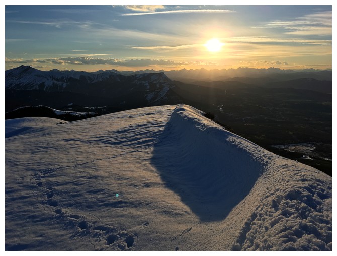
Everything starts to take on a pink hue as the Sun hits the horizon
A interesting comparison of very similar photos taken on descent (left) and on ascent (right)
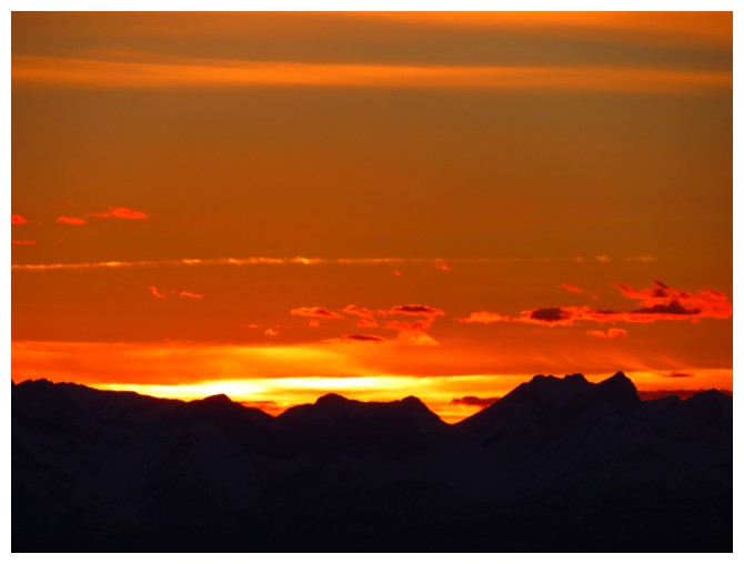
Great sunset