Mountain height:
2880 m
Total elevation gain:
1400 m
Ascent time:
7:10
Descent time:
4:35
Scrambling with Mark.
This seemed like a perfect day to try
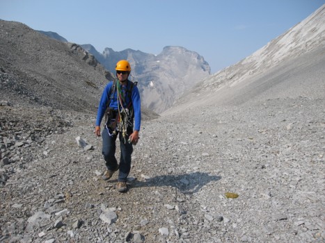
The first surprise of the day came when we arrived at the
As Bob forewarned us, getting up the headwall was a fun exercise in routefinding. We tried several different routes before Mark found a steep but straightforward one that involved some very enjoyable hands-on scrambling. Mark led the ascent and soon we were at a col between Bogart and Ribbon. We then hiked south, where Bob suggested we gain the ridge and follow it easily to the summit.
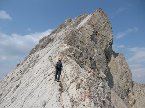
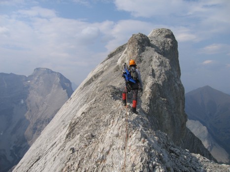
Once on the ridge, we got our second surprise of the day. The ridge didn’t appear to be easy – as a matter of fact, it was knife-edged and severely exposed on both sides – like Lady MacDonald, but five times longer. We didn’t waste any time in pulling out the rope and setting up some sling belays, though in retrospect, only caution and due care, not ropework, were required.
After several hundred metres of sometimes intense and nail-biting scrambling, the ridge widened and the remainder of the trip was considerably easier. Just before the summit, the ridge reared up in a shapely, slightly overhanging outcrop of rock. Though it looked intimidating, such was not the case and we strolled easily to the summit. Again, the hazy conditions were a source of discouragement, especially since the summit view was much better than I was expecting. It could have worse, though – we could have been on the summit of Bogart! That would have been extremely disappointing, given Bogart’s phenomenal summit view.
The barren summit register was very interesting. The first recorded ascent, led by legendary climber and guide Hans Gmoser in 1957, had thoughtfully been rewritten on the new piece of paper. Since then, 5 parties including our own, had signed the register. We both found it odd that an accessible and very enjoyable peak had only received 6 ascents in 49 years, but then we wouldn’t have thought about going up the mountain, had it not been for the insight of Bob.
For descent, we started back the way we came. Once back at the exposed ridge, it seemed we could actually head straight down the mountain. This route worked wonderfully and avoided almost all of the exposure. Of course, we then began to think on ascent we had traversed too far south and thus encountered all the exposure that we weren’t expecting. Nevertheless, if we had to go back, we would do the route in exactly the same way – “difficult up – easy down” - I always say! A terrific scramble – thanks Bob.
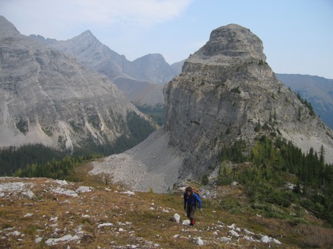
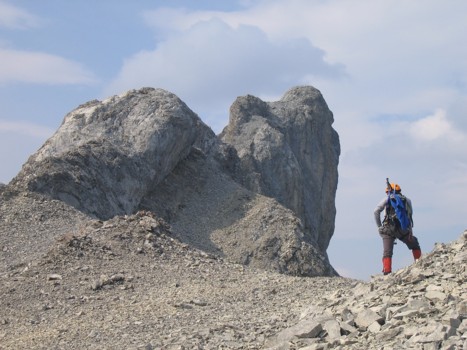
Mark, with Bogart Tower behind; Wind Mountain to the left
Ribbon Peak
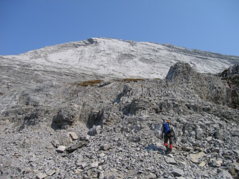
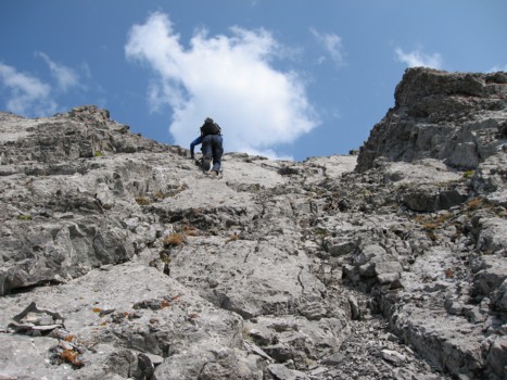
Heading to the headwall
The first route we tried up the headwall
Mark leads a better line up the headwall
Same as above
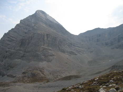
Approaching the Ribbon/Bogart col, with the major slab and Ribbon's summit ahead
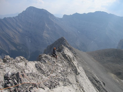
At the col, with Sparrowhawk behind
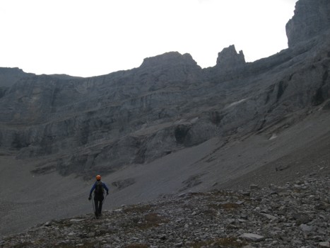
Scrambling up to the ridge
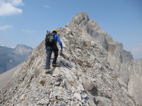
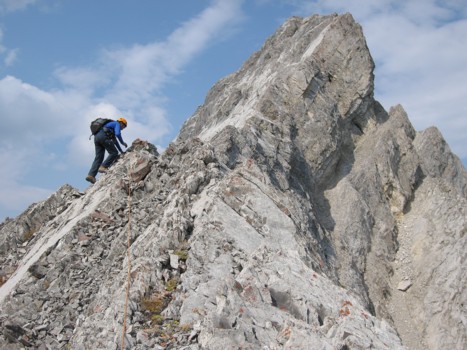
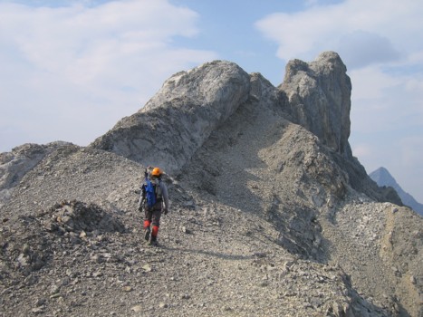
On the ridge with the summit ahead
Mark on the ridge
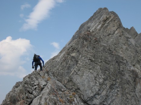
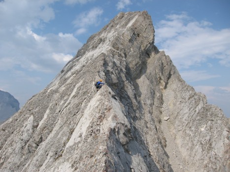
The terrain steepens as the summit draws near
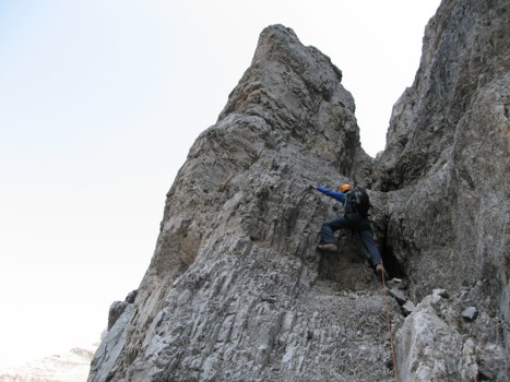
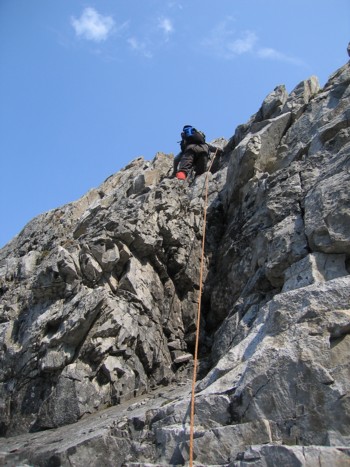
Setting up a sling belay on the narrow ridge
Same as above
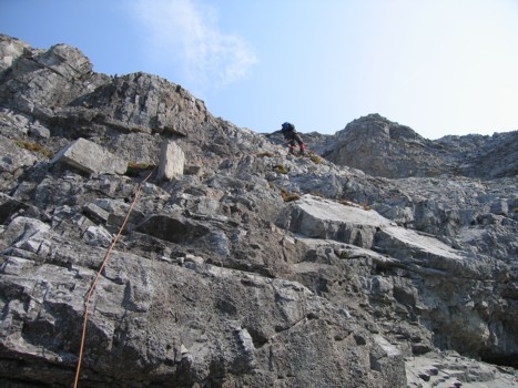
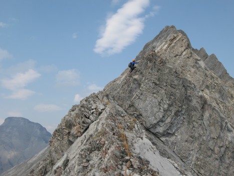
More exposed scrambling on the ridge
Same as above
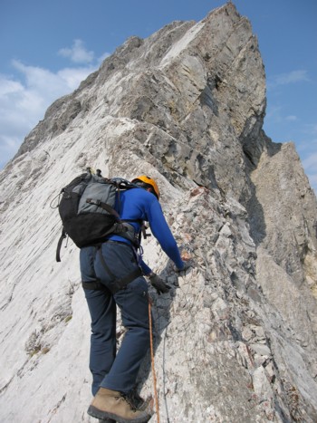
There was the occasional ledge that allowed one to leave the ridge
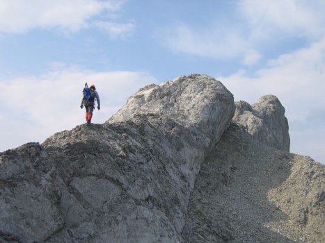
Mark, with the impressive summit block ahead
Mark starts towards the summit
Same as above
Almost at the summit
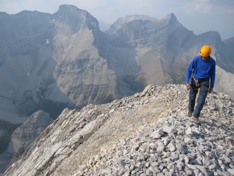
At the summit, looking north to Sparrowhawk, Wind and Lougheed