Robertson
Pass height:
2,896 m (9,499 feet)
Elevation gain:
1,000 m
Ascent time to:
6:00
Descent time from: 3:00
Ski
mountaineering with Mark.
I
bet those world champion super-G skiers in
Ski
ascent number 2 (my third) and the execution of ski mountaineering does not seem
to be getting any easier for Mark and me. Once again, we found the ascent to be
so physically grueling that we both had nothing left for what should have been
an easy descent. Which brings me to the main problem of ski mountaineering (for
us): getting down would not be a problem if we didn’t have to get up first!
Where’s that ski lift when you need it?
Initially, we thought about
attempting the loop route of this trip which takes you up the French and Haig
Glaciers and down the Robertson Glacier. That route, however, requires the
ascent of a very steep slope just before
Skiing the Burstall Passs Trail
was easy and scenic, with great views of Commonwealth, Pig’s Tail, Birdwood,
and
Once on the glacier, we roped
up and continued our slow ascent. No crevasses were visible, but better to play
it safe. The sun beating directly down on us further exacerbated our fatigue. The higher we got, the slower we moved. Several times we considered
giving up, as the group behind us had, but persisted, in hopes of a good view at
the pass. That persistence paid off, and a spectacular view awaited us at the
top.
We braved a fierce west wind and therefore extremely low temperatures for about 45 minutes, waiting for the clouds to clear a little. Meanwhile a group of two came up from the Haig Glacier to join – apparently that route was still fairly safe. They had made the ascent, via the French and Haig Glaciers, in a speedy 4 hours, even though they said they had taken a leisurely pace – we were very impressed and somewhat envious. We then watched them as they descended the Robertson with graceful ease, losing about 900 m of elevation in about 15 minutes.
The sky did finally clear a little and after taking a few photos we prepared for what we knew was going to be another slow and graceless descent. Though we were both very tired, Mark had definitely suffered more, having hauled a much heavier backpack than I. He found it very discouraging to be unable to use the skills he had practiced at the ski resorts over the last month. Only six days earlier, Mark had made it down a couple of double black diamond ski runs at Panorama and yet couldn’t negotiate this far less steep terrain, more indicative of a blue run. I certainly was not much better. At least we both made it down without having to take off our skis and walk! And lucky for us, the snow was in very good skiing condition and forgivingly accepted our huge snow-plow turns. Had the snow been more wind-blown and icy, things could have been much worse. Once at the valley bottom, the remainder of the trip was easier, but, in our depleted condition, it felt like that Burstall Pass Trail would never end. We were both completely wiped out upon reaching the car.
Even with the difficulties, a very good day out in superb surroundings. We’re not about to give up on ski mountaineering just yet (God knows I almost had to take out a second mortgage to buy the equipment), and hope that in time we’ll be flying down those slopes, instead of crawling.
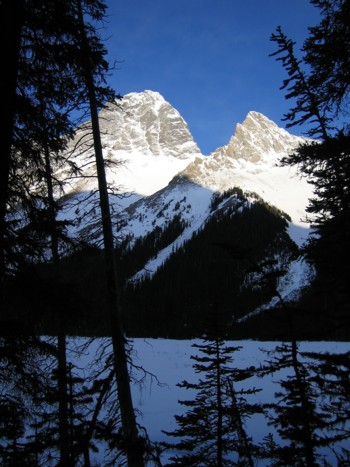
A glimpse of Birdwood (left) and Pig's Tail, from Burstall Pass Trail
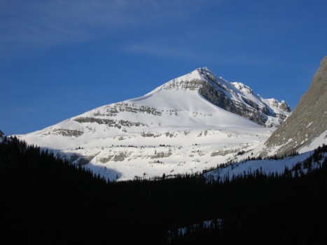
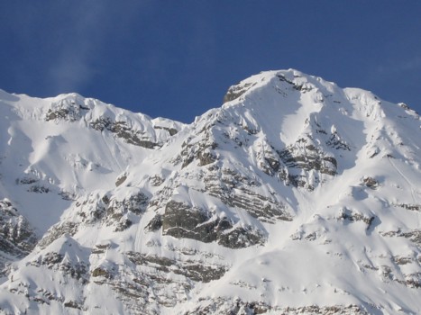
Snow Peak
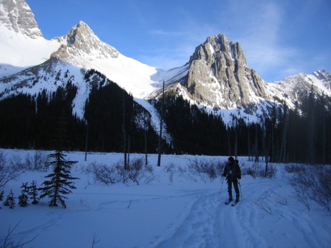
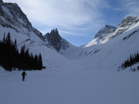
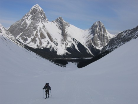
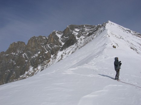
Turning south into the ascent valley, with Pig's Tail (left) and Commonwealth behind
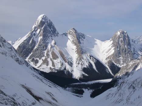
Whistling Ridge and Mount Sir Douglas at the far left
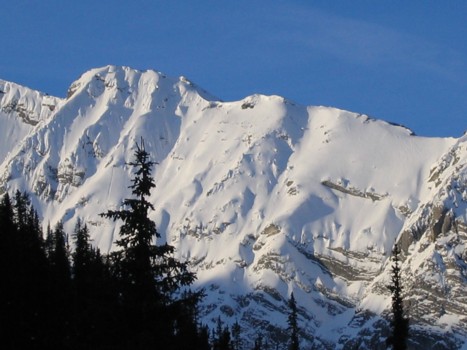
A closer look at Whistling Ridge
The Himalayan look of Whistling Ridge
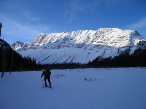
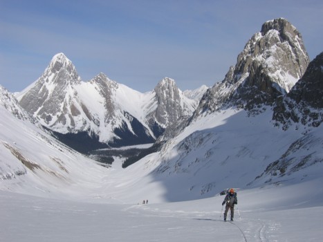
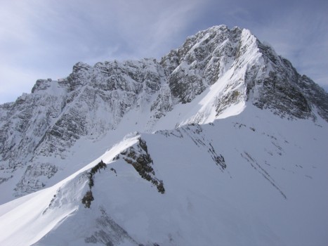
The entire ascent slope, with the pass in between Sir Douglas (right) and Robertson (just left of centre)
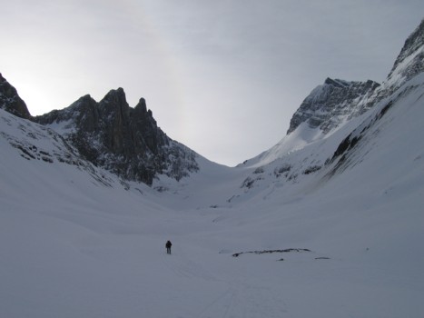
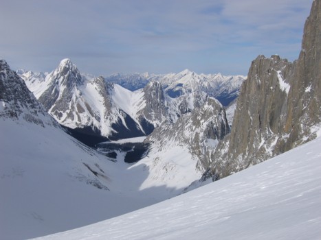
Further up the valley
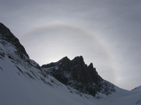
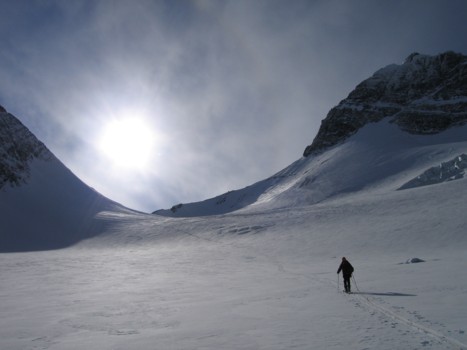
The sun, behind Mount Robertson, creates an interesting visual effect
Looking back towards Birdwood, Pig's Tail, and Commonwealth
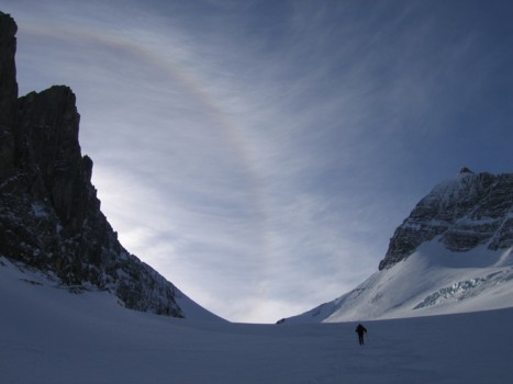
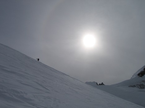
More interesting visual effects
Same as above
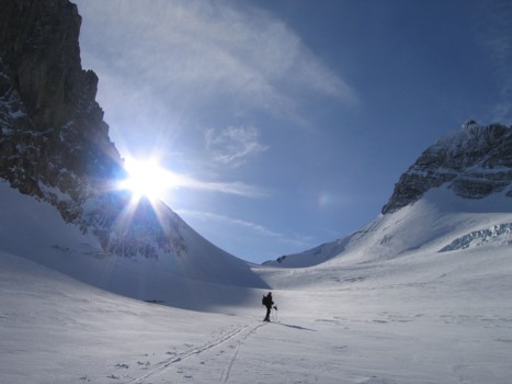
The sun emerges from behind Mount Robertson
Again, looking back, Piggy Plus at the far right
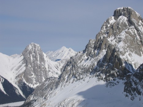
A closer look at Piggy Plus; Old Goat Mountain and our former nemesis Mount Nestor in the distant centre
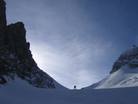
Plodding on
More plodding
Finally at the pass
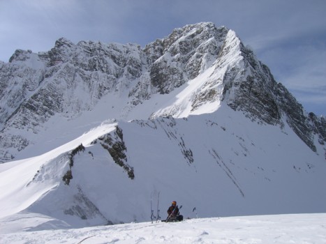
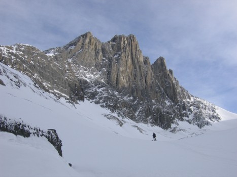
Taking a long break, with the magnificent east ridge of Sir Douglas behind
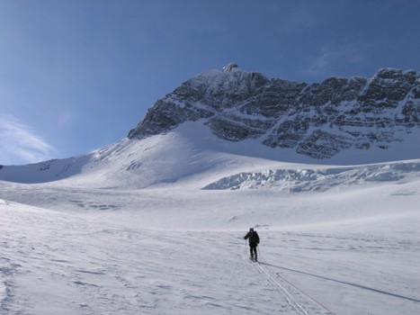
Mark and the upper ridge of Mount Robertson
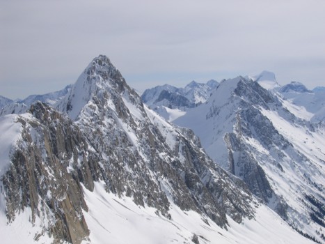
Sir Douglas
A view to the north
Mount Maude, with Mount Joffre in the distant right
Birdwood, Pig's Tail, and Commonwealth again
Mark descends slopes underneath Mount Robertson
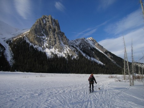
Back at the flats
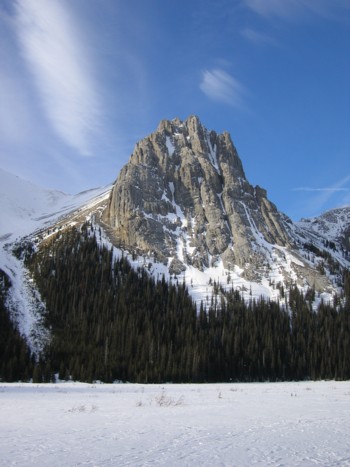
A final look at beautiful Commonwealth Peak