Scrambling with Mark.
A dismal weather forecast throughout the Canadian Rockies
prompted us to pick a modest ascent and something in the Bragg Creek area fit
the bill. We biked about 9 km alongside the 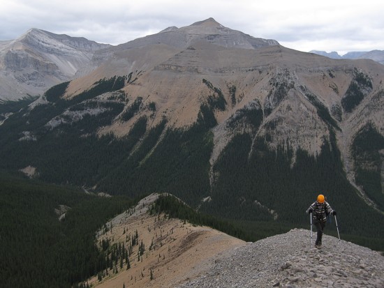 The elevation gain for
 The route we took was unknown to us, but turned out to be a
pleasant, easy, and scenic stroll to the summit. Views from the summit were
also surprisingly good, especially the green, rolling hills to the east.
The route we took was unknown to us, but turned out to be a
pleasant, easy, and scenic stroll to the summit. Views from the summit were
also surprisingly good, especially the green, rolling hills to the east.
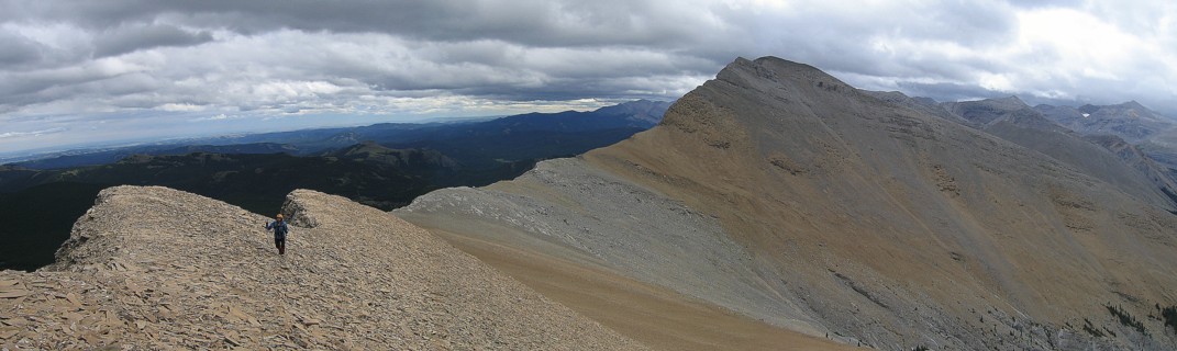
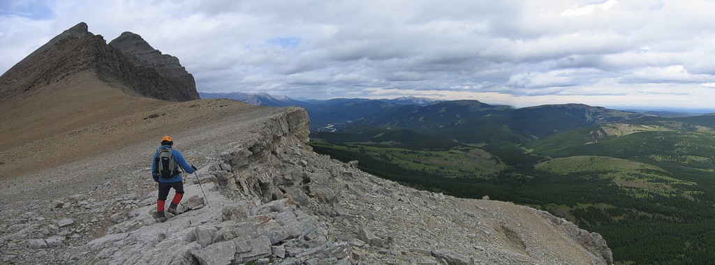
We then traversed the ridge north towards
The very enjoyable and stress-free day. It’s amazing how you can enjoy a trip in bad or less-than-perfect weather if you’re expecting it.
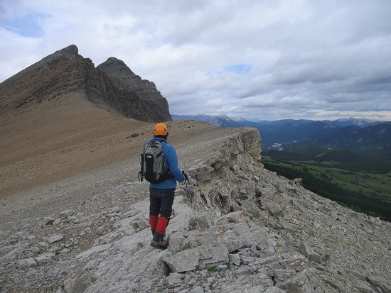
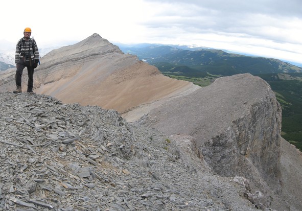
Checking the map; Mount Rose at the right
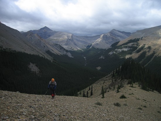
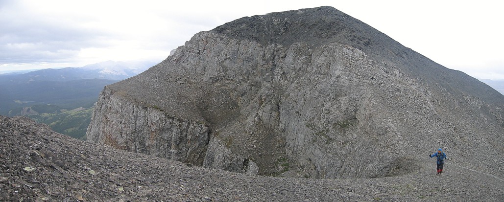
The ridgewalk to the summit
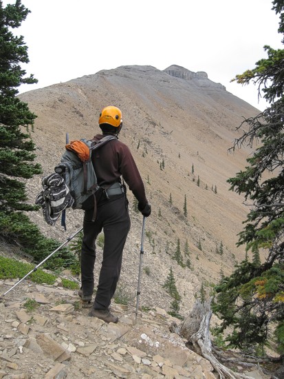
Mark ascends the ridge; Mount Burns to the left
Mark on the ridge again
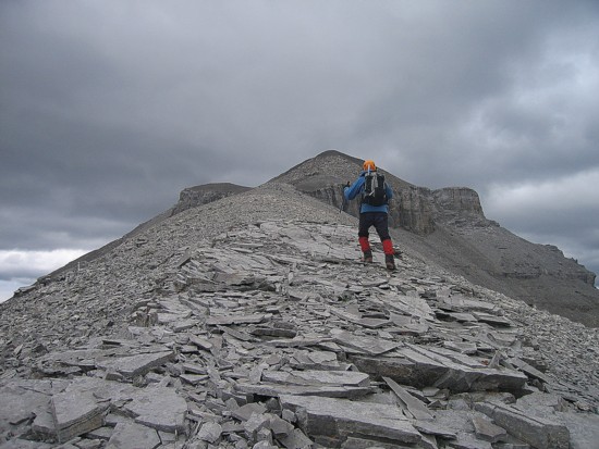
Me at the summit, with Threepoint behind
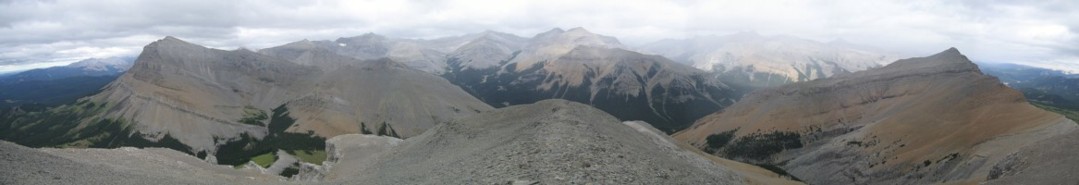
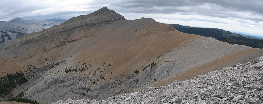
A summit panorama; Bluerock to the left
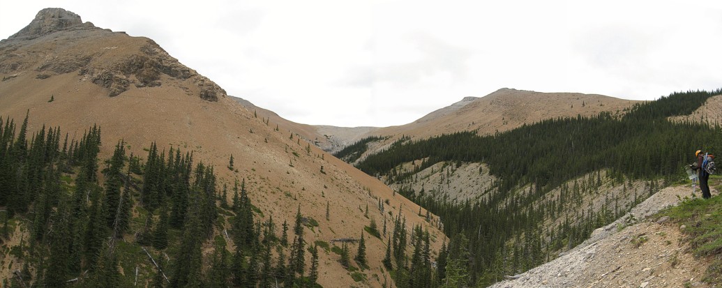
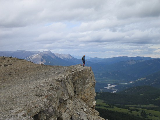
Leaving the summit and heading to another highpoint
Descending the second highpoint and heading to the ridge that connects Rose to Threepoint
On the connecting ridge
Looking back
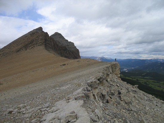
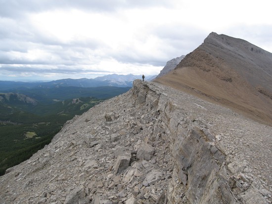
Mark at a scenic vantage point
Close-up of the above
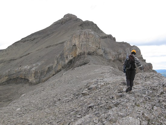
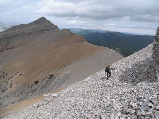
Approaching the cliff-band that blocks the route to Threepoint
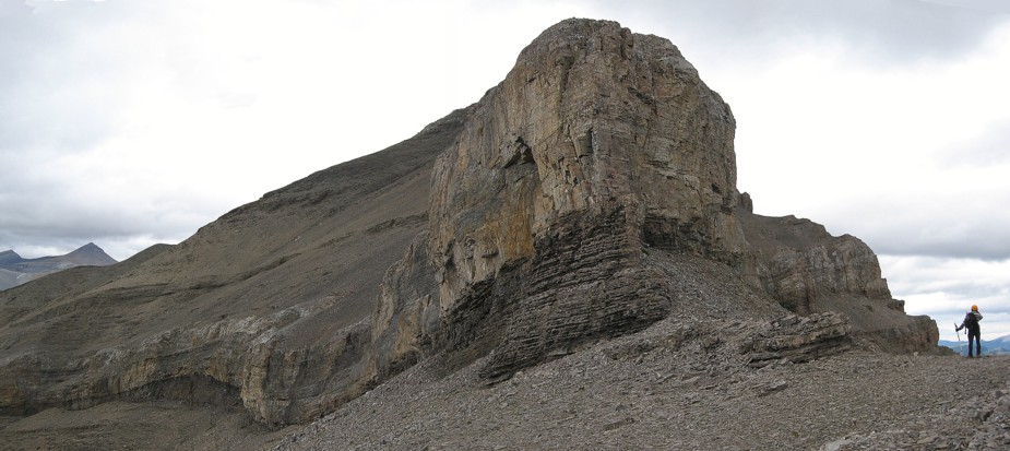
Save as above