Mount
Mountain height:
Rowe:
2469 m
GR136374:
2512 m
Total Elevation gain: 880 m
Ascent time:
2:30
Roundtrip time to GR136374: 1:15
Descent time:
2:00
Scrambling with Mark.
After
a 14+ hour day on
Driving
alongside the mountain, Mark spotted a dried-up drainage, just after the winter
gates, and we choose this is an ascent route. Good choice, Mark – it was
short, entertaining, colourful, and direct. From
the main drainage, we skipped into another one, which went directly to the
summit. The moderate scrambling up the drainage was enjoyable, if not terribly
challenging. It was quite overcast at the top and so we both tried to take a
nap, given a restless night of sleep.
After
a 45 minute rest, we continued west along the ridge to the next highpoint at GR136374,
on the sound advice of Linda Breton.
This was a fantastic extension of the trip, as it gave the skies a chance to
clear a little, revealing wonderfully colourful views of Hawkins, Blakiston,
Lineham and its western outlier, and
On descent, we took an
alternate route down the very enjoyable
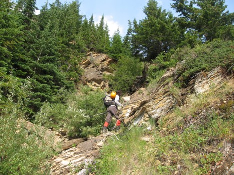
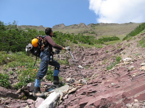
Mark ascends the lower section of the drainage
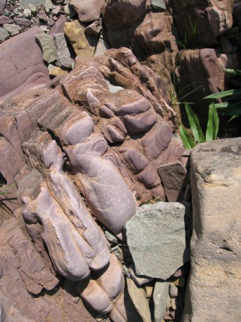
Water-worn rock
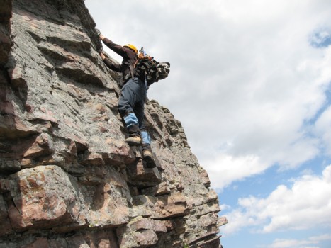
The middle slopes and the summit block at the left
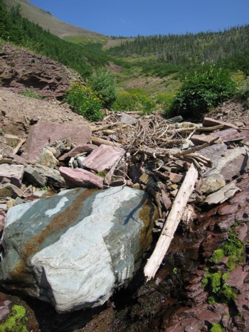
More great colours in the drainage
Looking towards the summit
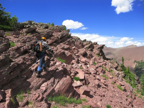
Moderate scrambling up the drainage
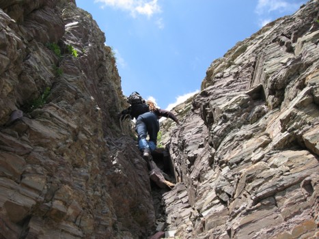
Just before the summit; unfortunately, I didn't get up this step and had to climb down
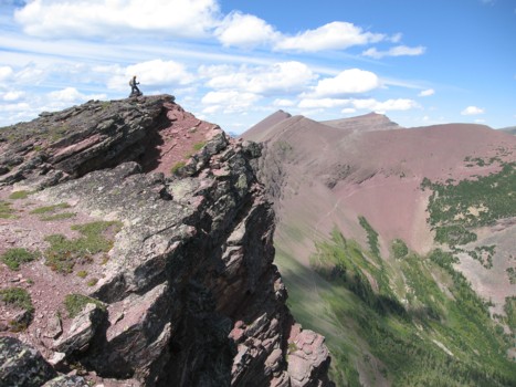
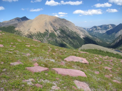
GR136374
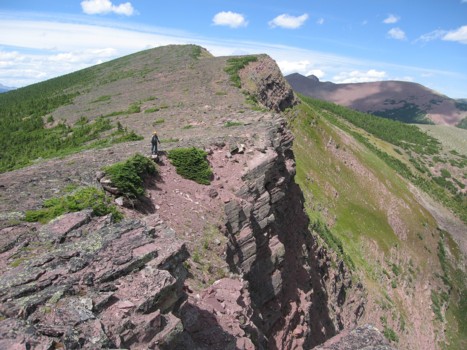
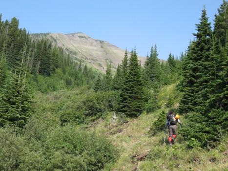
On the way to GR136374
More of the traverse
Beautiful rock and skies
More of the traverse
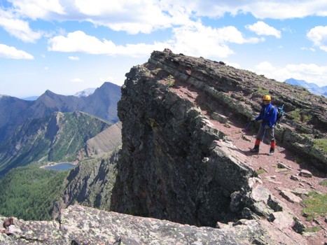
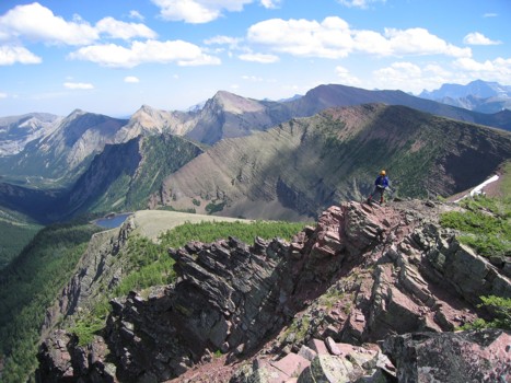
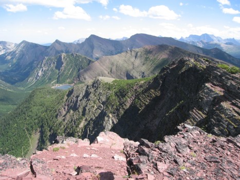
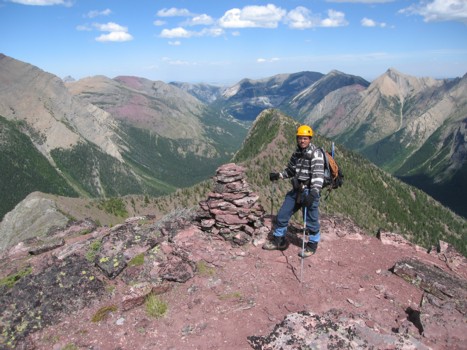
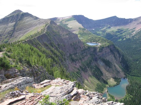
Mark on the ridge; Upper Rowe Lake is just visible
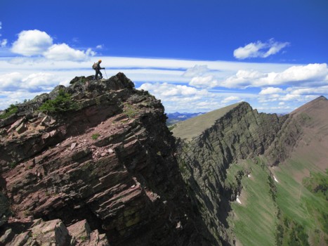
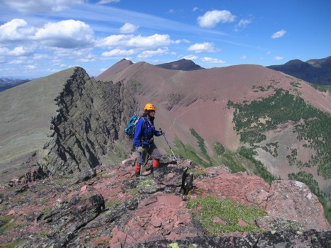
Me on the ridge
At the summit of GR136374
Same as above
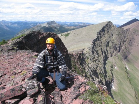
Mark at the summit
The summit view to the southeast
On return
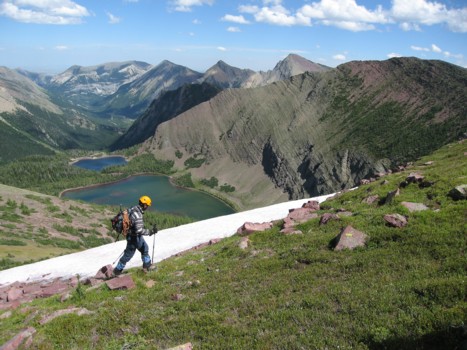
A surprising snow patch
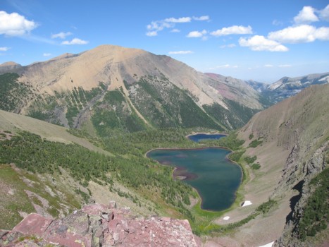
The upper Rowe Lakes and Mount Lineham
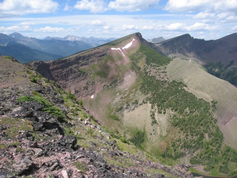
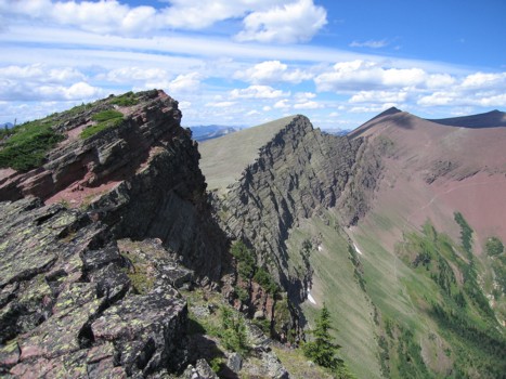
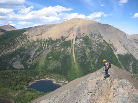
At the false summit, with the east extension behind
Descending the east ridge
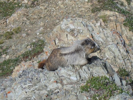
A not so shy native
Looking back to Rowe from the east extension; Lower Rowe Lake at the bottom right
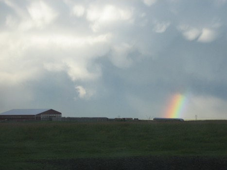
Interesting weather on the drive home