“Rummel Ridge”
– December 26, 2008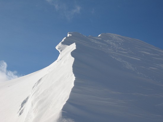
Mountain height:
2459
m
Total elevation gain:
approx.
800 m
Roundtrip time:
?
Solo snowshoe.
Got the idea for this trip from Bob
Spirko’s
website and what a terrific trip it turned out to be. 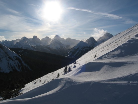 I
couldn’t find the
cutline (the most direct route) and settled for following the well-worn
trail near
the Engadine Lodge turn-off. Several hours of very strenuous
trail-breaking followed
upon leaving the trail – off-trail snowshoeing should
definitely be a group
activity!
I
couldn’t find the
cutline (the most direct route) and settled for following the well-worn
trail near
the Engadine Lodge turn-off. Several hours of very strenuous
trail-breaking followed
upon leaving the trail – off-trail snowshoeing should
definitely be a group
activity!
I did stumble onto the cutline and
followed it for a short
distance, but then left it, in search of a more direct route. Once
above
tree-line the scenery improved dramatically. Views of the west side of
After a short summit stay, I descended to the col east of the summit, enjoying some terrific snow scenery along the way. I then hiked a short ways up the southwest ridge of The Tower. Surprisingly, there appeared to be a feasible route towards the false summit of The Tower via this long ridge, although I had no intention of trying it with the limited amount of daylight left.
A wonderful day of terrifc scenery and views.
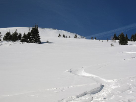
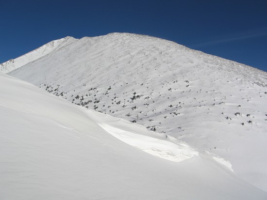
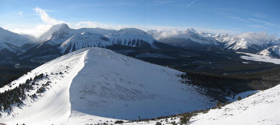
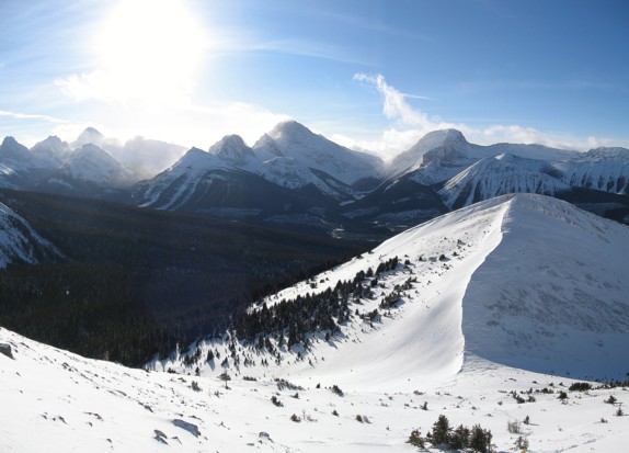
The slope that goes to the summit of Rummel Ridge
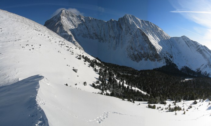
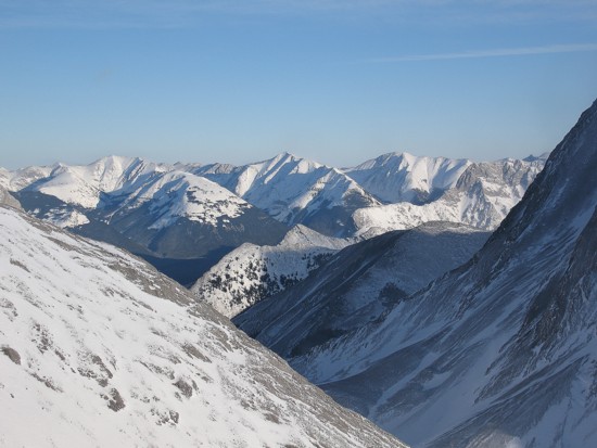
The other ridge that I ascended after Rummel
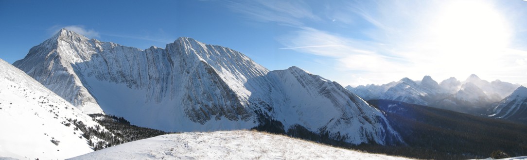
The view to the southwest: visible peaks include French, Prairie Lookout,
Robertson, Burstall, Sir Douglas, Commonwealth, Pig's Tail, and Birdwood
Commonwealth, Pig's Tail, and Birdwood
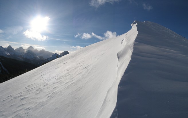
Wind-sculpted snow
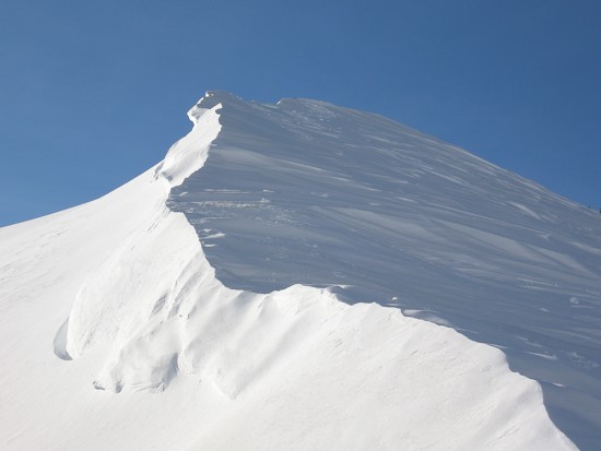
Same as above
Looking west to Rummel Ridge (foreground); Smuts and The Fist are visible at the left
and Assiniboine sits towards the right in the far distance
Same as above, but further south

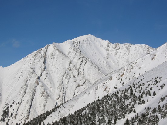
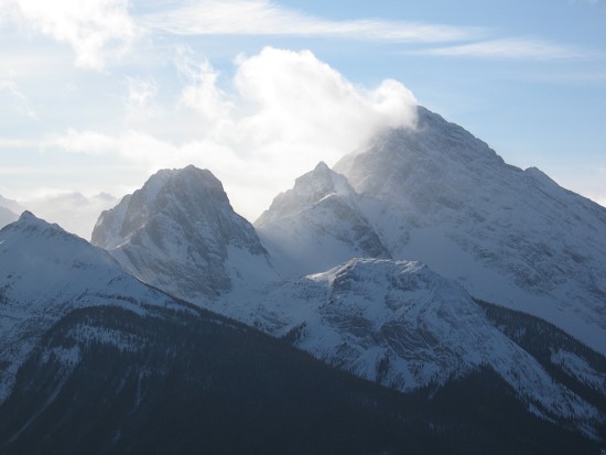
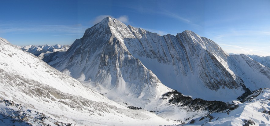
Galatea looking very Himalayan
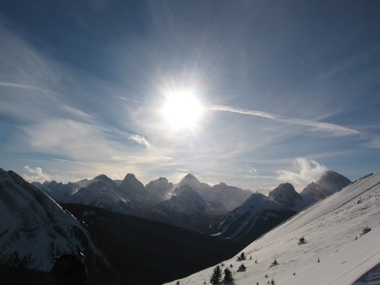
The view to the east; Mount McDougall at the far left and several unnamed peaks
A last look at beautiful Galatea
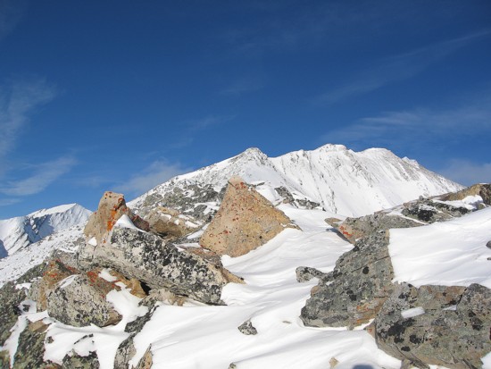
The west ridge of The Tower