
Mountain height:
2,911 m (9,550 ft)
Elevation gain:
approx.1,200 m (we came up 190 vertical metres short)
Roundtrip time:
7:15
Scrambling and a little mountaineering with Mark and Kevin.
All started well, as we easily
ascended an avalanche slope and then through treed terrain to open slopes above.
Not surprisingly, the first part of the trip was very similar to that of our
attempt of
As we gained elevation, however, the terrain steepened and those previous options to traverse disappeared. Also, the upper rockband before the summit became increasingly more daunting and would requiring circumventing or technical climbing. Soon, the crampons and ice axes came out. For a while there did appear to be a possible scramble route up, but it too disappeared when we arrived at a very steep and exposed snow-covered section that seemingly led to two significant drop-offs that would mark the end of the line for us. With a belay, I went up to check it out, but getting back down would have required a rappel and it simply wasn’t worth the risk. We unanimously opted to retreat, enjoying an easy descent under clear skies and surrounded by fantastic scenery. I expect we’ll return in the summer months to try again.
Patterson Peak
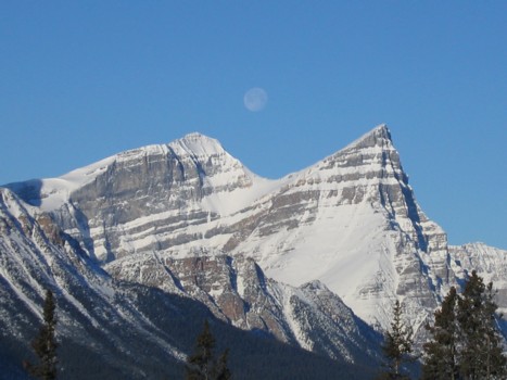
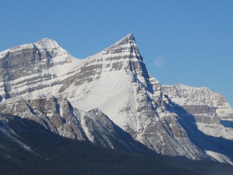
The moon in between White Pyramid (left) and Mount Chephren
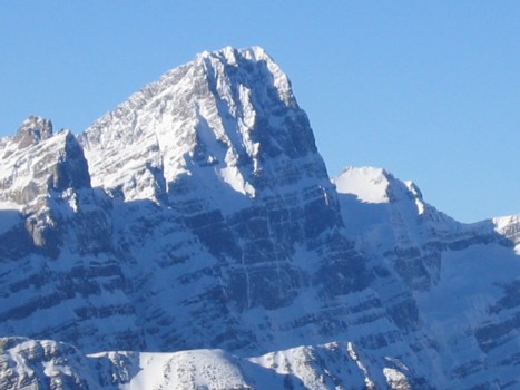
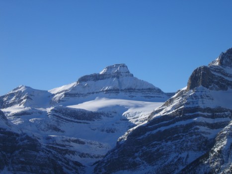
A closer look at Mount Patterson
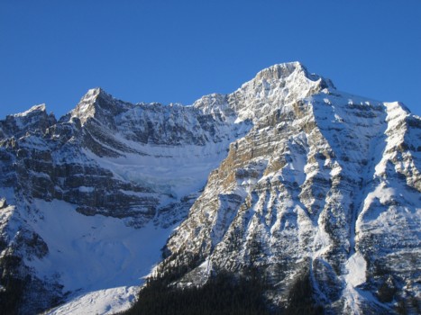
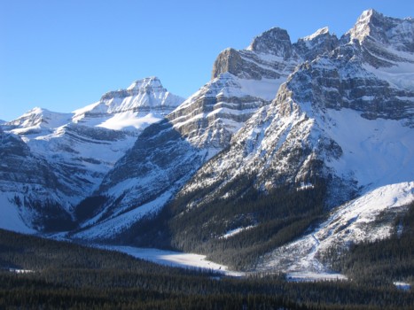
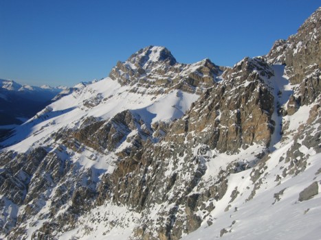
Howse Peak (centre), White Pyramid and Chephren
A closer look at the east face of Howse Peak
The fading moon
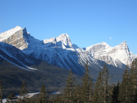
Mount Mistaya on the Wapta Icefield (just left of centre); the south flanks of Patterson at the right

A view to the north
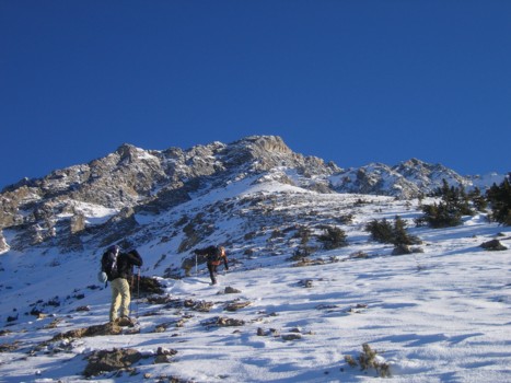
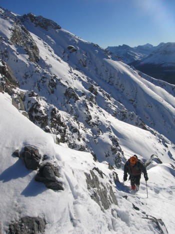
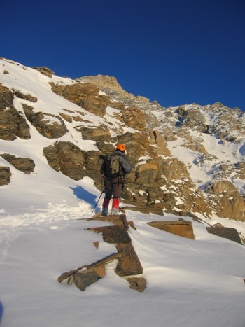
Out of the treeline and heading up easy slopes
Mount Mistaya
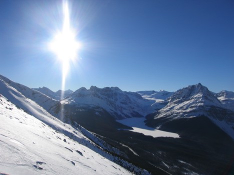
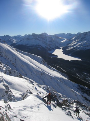
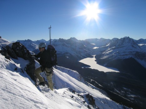
A view to the southwest; Peyto Lake with Caldron Peak to the right
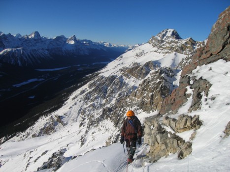
Kevin ascends snow slopes, with Mount Weed in the background, to the left
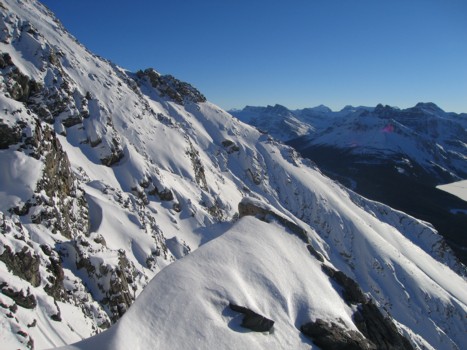
Beautiful winter scenery
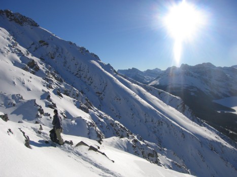
More of the lower slopes, with the summit ridge at the left

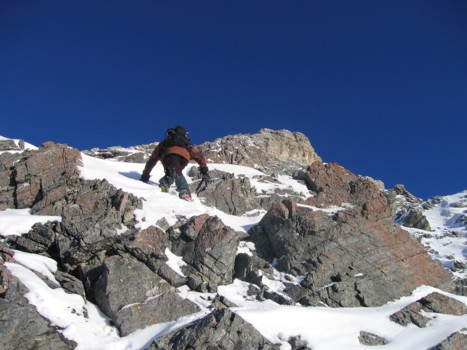
The terrain steepens a little and the snow deepens
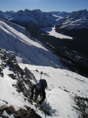
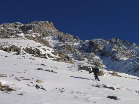
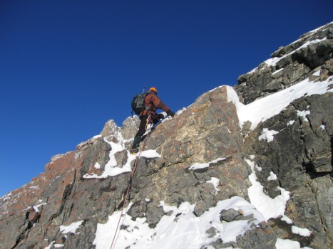
Kevin ascends an easy rockband; Peyto Lake behind
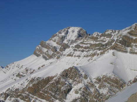
Mount Weed
More terrific scenery
More snow
Higher up the route
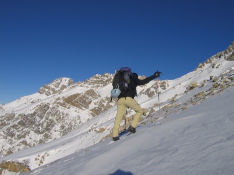
Mark ascends easy snow slopes
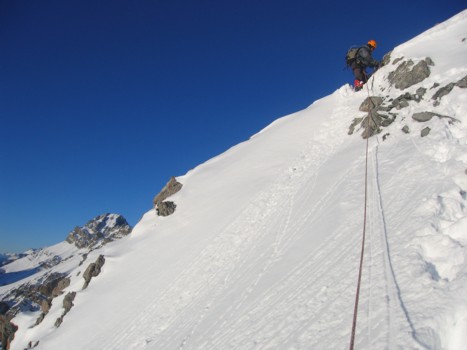
Kevin sets up an anchor
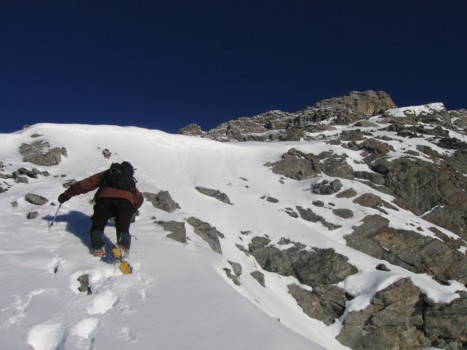
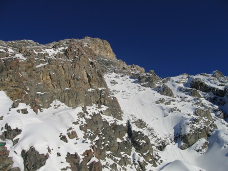
Checking out the steep terrain ahead; we turned around just above this step
Looking to the north
More winter views
Looking back up the route
Mount Weed
Mark sets up a simple anchor
The route in early evening light
SCRAMBLES
MOUNTAINEERING
OTHER TRIPS
PHOTO GALLERY
LOG
FAVOURITES
LINKS