Mountain height:
3,000 m (9,842 feet)
Elevation gain:
1,020 m
Ascent time:
6:20
Descent time:
4:00
Scrambling
with Linda Breton.
I
first bumped into Linda while descending from the
Starting
out under relatively clear skies, we made our way to scenic
We
spotted the rockband that Kane describes, from quite a distance and so we
traversed low on the slopes and then ascended back to the ridge to the last
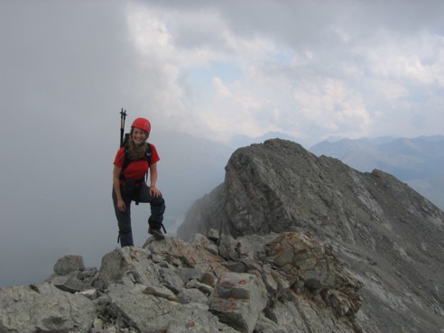
false summit, just beyond the strip of brown coloured rock. The view from this
summit was great and the terrific drop down the east side of the mountain
equally breath-taking. A short hike, right along the edge of the ridge, took us
to the true summit, and yet another amazing panorama. Most impressive were
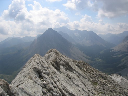
craggy Tombstone Mountain North and the spiky
Throughout
the latter part of the ascent we had watched clouds forming all around us and
now, at the summit, it became quite clear we were in for some violent weather.
Given that, we quickly packed up and started the optional descent, down the
southwest scree slopes. This alternate route was a welcome change, offering a
rapid descent on sections of good, surfable scree. Near the top, a couple of
loud thunderclaps prompted us to quicken our pace. About one-third of the way
down, we got caught in a hailstorm and had to take shelter behind a couple of
rockwalls. Lower down we encountered a very small waterfall which, because of
the rain and hail, practically tripled in size right before our eyes.
Throughout
the descent, we witnessed some breath-taking weather phenomena: clouds and mist
forming at the valley bottom and rising rapidly all around us; periods of
white-outs followed by clear skies; the sun reflecting of the wet rock; dark,
foreboding clouds creeping over the mountain tops; and of course, the requisite
share of lightning and thunder. The interesting weather and different scenery
(than on the way up), made for a more than fascinating descent. Linda, who did
the entire descent in considerable pain, from a chronic knee problem, was
fantastic and didn’t complain about it once – her positive attitude and
refusal to let the pain and discomfort interfere with her enjoyment of the trip
and the mountains in general was very a huge inspiration to me and certainly
made me thankful for my own good health. I was also very impressed that she, and
others, would drive all the way from
Eventually,
we found a well-worn trail, running down the valley, and followed it back over
Piper Creek and the
At
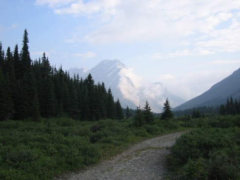
Tombstone Mountain, as seen from just beyond Elbow Lake
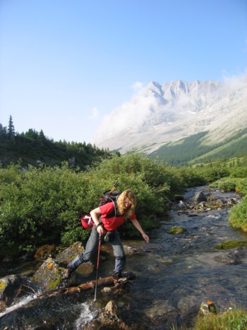
Linda crossing Elbow River
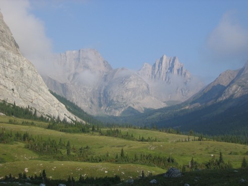
Striking Mount Jerram to the right
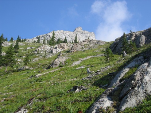
Heading up to the ridge
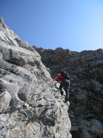
Linda, ascending a rockband enroute to the ridge
Looking back at the ridge
The upper slopes, we traversed these slopes and then ascended just after the brown rockband
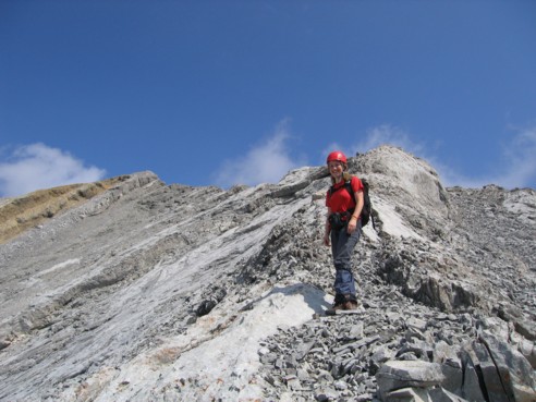
Linda on the ridge
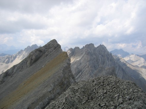
Almost at the summit; Tombstone North just right of centre
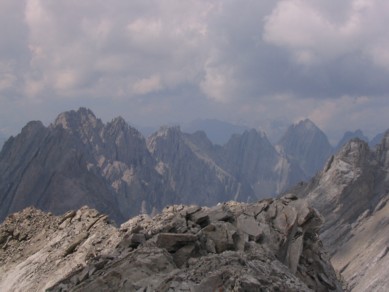
Some of the peaks of the Opal Range (photo by Linda)
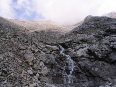
Interesting weather phenomena and a scenic waterfall, seen on the way down (photo by Linda)
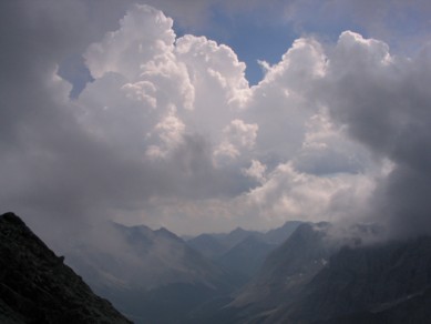
Clouds coming in from all directions
HOME
SCRAMBLES
MOUNTAINEERING
OTHER
TRIPS
PHOTO
GALLERY
LOG
FAVOURITES
LINKS