July 16, 2009
Mountain heights:
2520
m, 2850 m
Total elevation gain:
approx.
1800 m
Total ascent time:
6:50
Descent time:
3:45
Solo scramble.
 Years ago, had I known I was going to turn into
some kind of
peak-bagging freakazoid, I would have done some of these long days when
my
feet, knees, and general fitness levels were up to the task. As it now
stands,
the “short drive, short trip” option is a distant
memory that I sometimes yearn
to experience again. I’m left with “long drive,
short trip”, “short drive, long
trip”, or the ever popular “long drive, long
trip”! Conventional wisdom says
that I should go for the “long drive, long trip”
now, before I get even older.
To heck with that!
Years ago, had I known I was going to turn into
some kind of
peak-bagging freakazoid, I would have done some of these long days when
my
feet, knees, and general fitness levels were up to the task. As it now
stands,
the “short drive, short trip” option is a distant
memory that I sometimes yearn
to experience again. I’m left with “long drive,
short trip”, “short drive, long
trip”, or the ever popular “long drive, long
trip”! Conventional wisdom says
that I should go for the “long drive, long trip”
now, before I get even older.
To heck with that!
 generally
very pleasant. This was especially true for the huge elevation
loss after passing
generally
very pleasant. This was especially true for the huge elevation
loss after passing
The plan from that point was to ascend the valley
alongside
Turbulent Creek and then follow a drainage up into the hanging valley
SSE of
Turbulent’s summit (the Green book). This would be shortest
route and the one
with the least amount of elevation gain. That plan was abandoned after
about 20
minutes. I quickly grew weary of all the side-sloping and bushwhacking.
Yearning easier terrain and better views, I started heading northeast
towards
the ridge and the summit of either
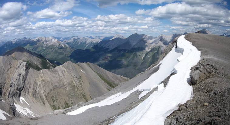
The ridgewalk that followed was likewise an easy and scenic affair. Reaching the highpoint before the final, but long traverse to the summit, I was confronted with a decision.
Rick Collier and his party, in light of dismal weather conditions, had descended to a low-point in the ridge and then descended further into the aforementioned hanging valley. Staying on the ridge looked to be problematic in several places and therefore I decided to follow Mr. Collier’s route.
However, upon reaching the low-point, I changed my mind and started up the ridge. All was going very well until the ridge became narrow and quite exposed and a steeper section reared up was beyond that. While I’m usually a staunch proponent of the “get your nose right up against it” axiom, for some reason, this day was different. The narrow section was certainly not difficult (just exposed!), and normally I would keep going until further progress was no longer feasible. However, looking at the steep section, a sudden gust of wind prompted me to immediately turn around and return to the low col and then down to the hanging valley. A decision I’m still quite comfortable with. Call it intuition, survival instinct, or just plain cowardice; it’s always a good decision if you can write about it later.
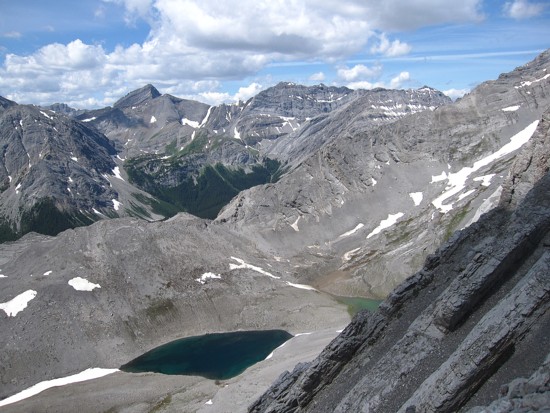
From the valley, the remainder of the route was
very easy,
highlighted by two beautiful lakes; one a deep blue colour and the
other a
light, grayish green. The summit view was also a pleasant surprise. The
For descent, I did use the planned ascent route alongside Turbulent Creek. It was not as bad as I was expecting and game trails helped out a great deal. Even the uphill bike ride was not the drudgery I was dreading.
A long, but terrific day.
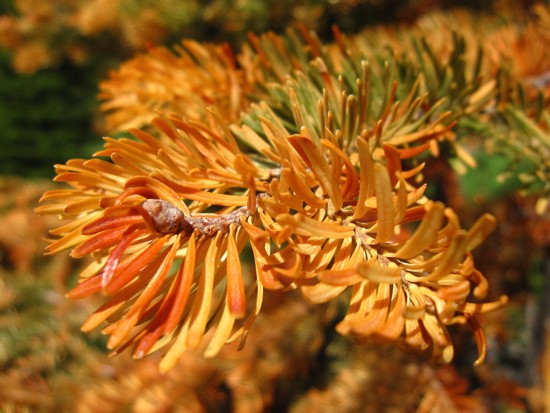
Red needles
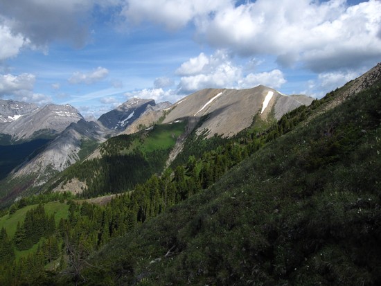
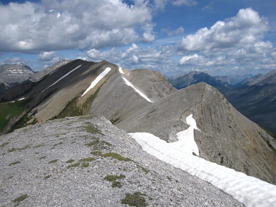
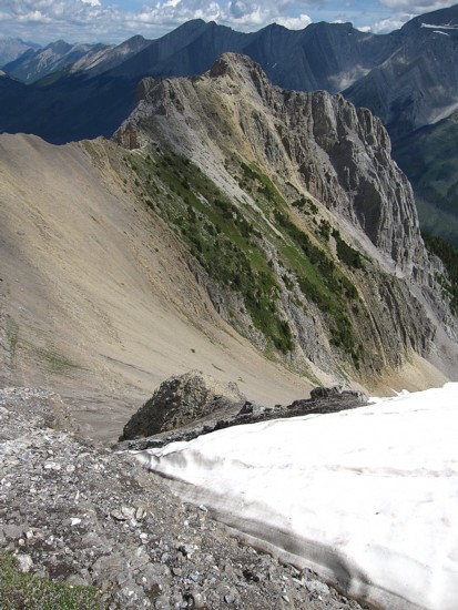
Part of the ridge from Fortulent
to Turbulent
(centre and right) and the summit of Turbulent
(just left of centre)
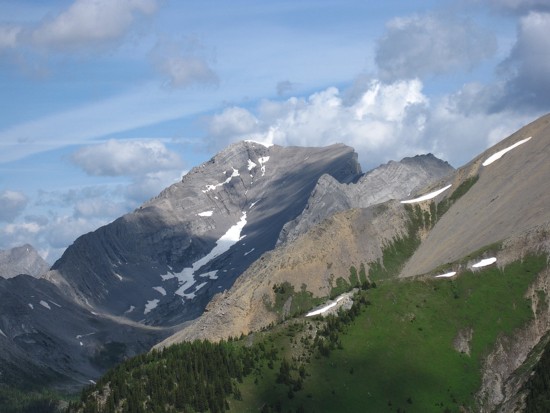
Mount Turbulent
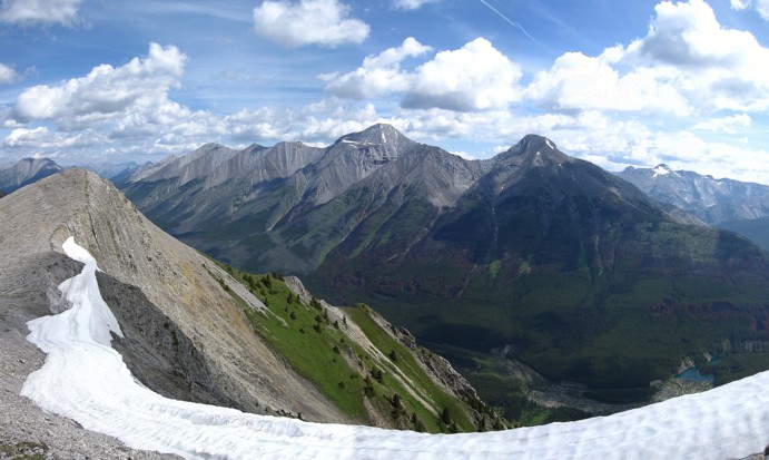
Looking east to Old
Goat (centre) and Nestor
On the Fortulent
ridge
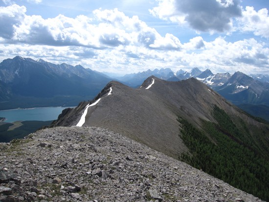
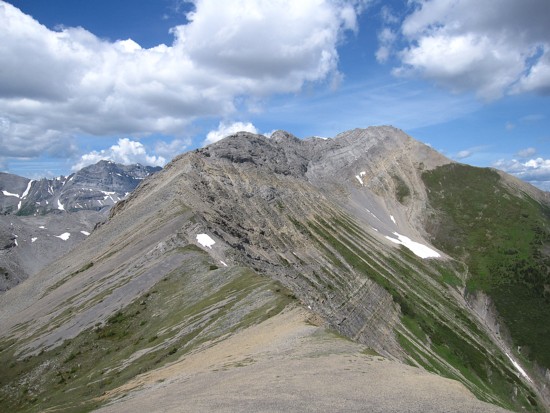
Looking back to Fortulent
Peak
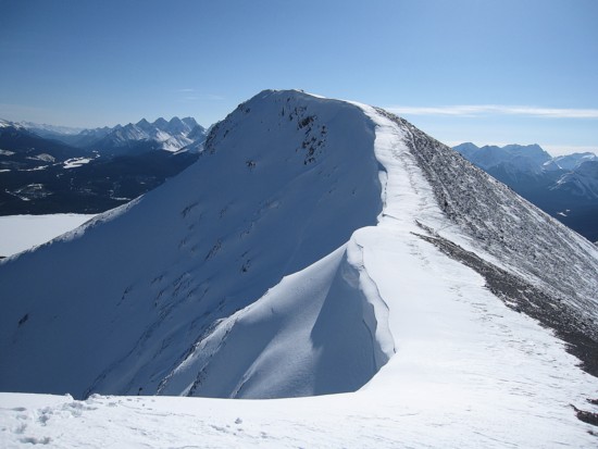
The same scene from February,
2009
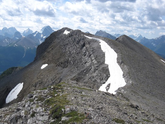
Looking back along the ridge
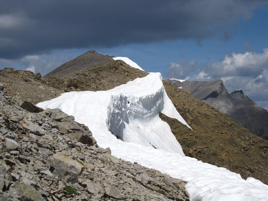
An eastern outlier of Turbulent
The "dicey" part of the ridge to Turbulent
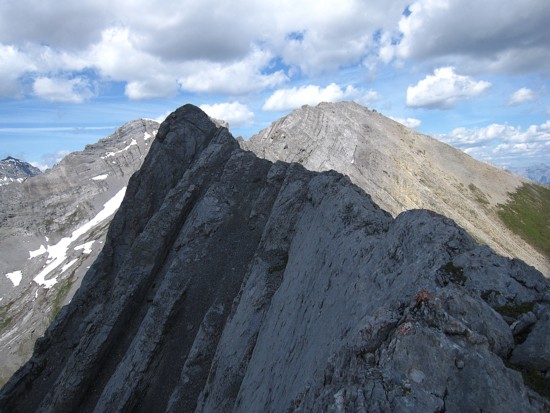
Where I turned around
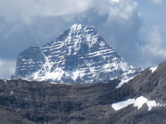
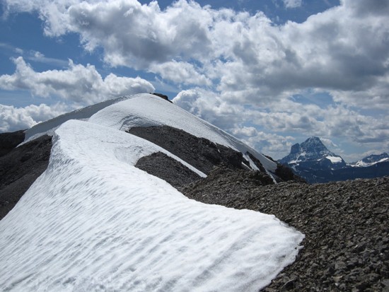
Assiniboine
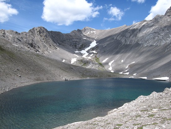
The blue lake and the summit in the centre
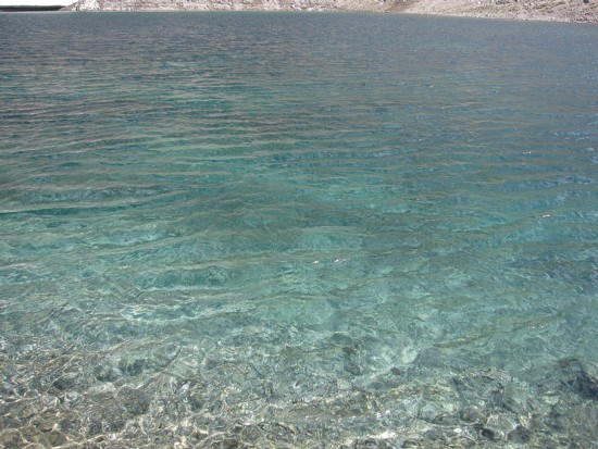
Crystal clear waters of the lake
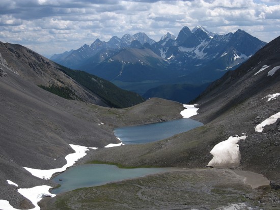
Looking back to the lakes and the British Military Group
Same as above
Approaching the summit
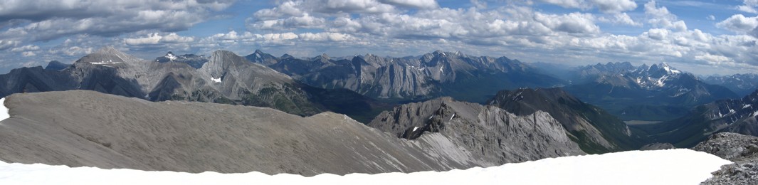
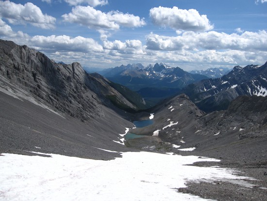
The summit view to the east and south