Turtle
Mountain II
– May 6, 2007
Mountain height:
2209 m
Elevation gain:
900 m
Roundtrip time: 10:05
Scrambling with Mark, Keri, and Kathryn.
Perhaps the most exciting aspect of going to the mountains is that you never know what the day may hold, even on an easy and familiar trip. Sometimes that’s a good thing and sometimes it’s not so good.
Mark and I had completed an
ascent of
With the exception of a minor (and unplanned) detour near of the beginning, the ascent to the false summit was enjoyable. Descending into and exploring the famous notch, where a huge section of the mountain collapsed in 1903, was every bit as entertaining and fascinating as on our previous trip. Again, many of the fissures were still snow-covered and extra care trying to avoid those sections was required. The ascent to the summit took a long time, but most of that was spent exploring the unique rock scenery.
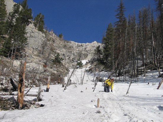
After a short summit stay, we decided to try an alternate descent route directly down the west side of the mountain and then back to the car via cutlines and trails. The route turned out to be a decent one, however a couple of set-backs on the way down almost turned the descent into an epic. A short ways down Keri slipped on the loose scree and banged up her knee quite badly. Unable to put any significant amount of pressure on her left leg, Keri was forced to descend by sliding down on her butt. This didn’t work out too well for obvious reasons and so Mark and I assisted her down. Fortunately, this method did prove to be reasonable and we slowly made our way down. There were a couple sections where we were able to glissade on the small amount of remaining snow, but they were very short. Eventually the grade became less steep and Keri was able to walk by herself.
At this point we also noticed that a harness was missing off Mark’s backpack. A couple of hundred vertical metres from the top, I had taken the harness off and then neglected to fasten correctly to Mark’s pack. I volunteered to go back up to look for it while everyone else continued down. Trudging 300-400 vertical metres back up the mountain, I eventually arrived at the point where I had put the harness back was empty handed. Disillusioned I started back down again. Fortunately, I took a slightly different route and stumbled upon the harness within a few minutes. By the time I caught up with Mark, Keri, and Kathryn I was exhausted and very much regretting that I suggested the alternate descent route.
At this point we were still a considerable distance from the car and the cutlines we were expecting to run into simply didn’t appear. With some luck and a lot of routefinding we did eventually find a decent trail that seemed to be going in the right direction. Arriving at an open meadow, Kathryn spotted a good sized black bear roaming about in search of food. The rest of the trip was actually quite pleasant, but at least three of us were suffering from various degrees of exhaustion (Kathryn still seemed to have plenty of energy in reserve).
We definitely got far more mileage on this trip than we were expecting, but overall everyone enjoyed it, even with the unexpected turns.
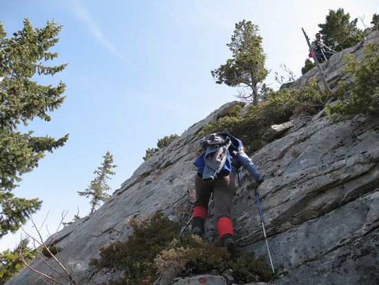
Keri starts up a rockband just before the ridge
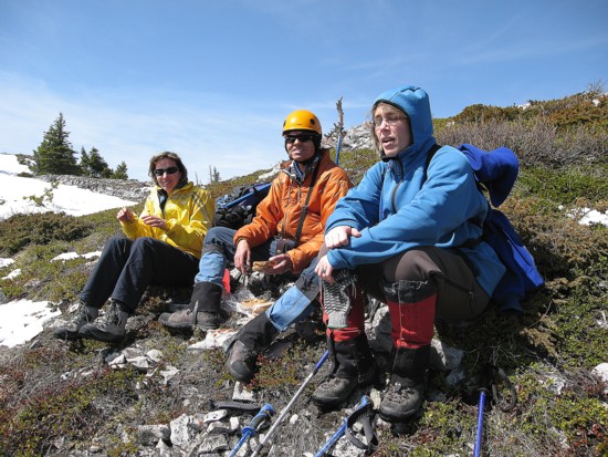
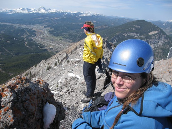
Kathryn, me, and Keri taking a food break before the false summit
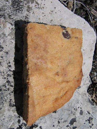
Chocolate Chip Cookie on Rock
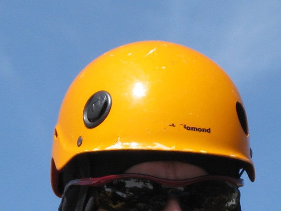
My Helmet
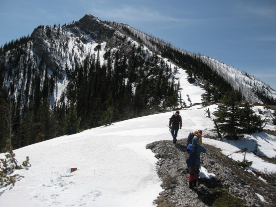
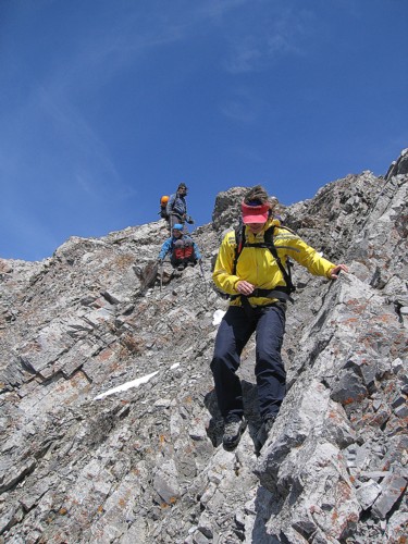
Starting up towards the false summit
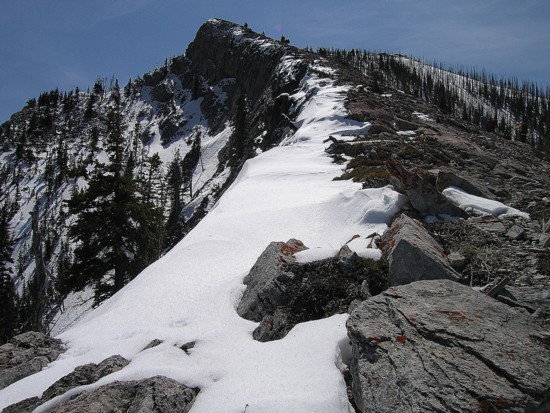
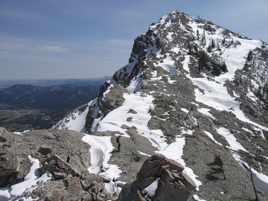
Looking up to the false summit
Same as above with the true summit to the left
The true summit seen through a gap before the false summit
Kathryn, Keri and Mark descend into the notch
The cool rock scenery begins
Mark descends a slab
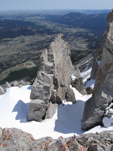
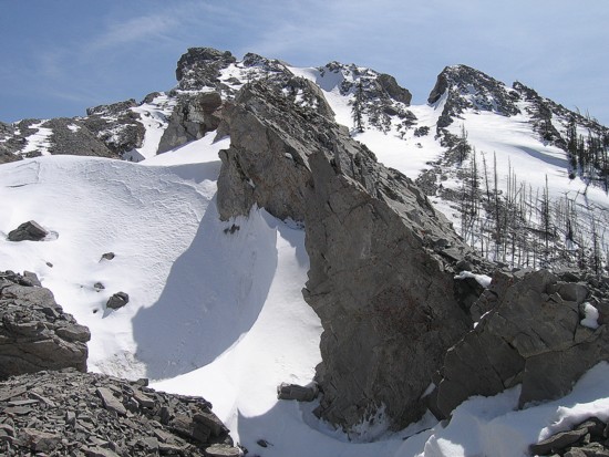
A fin of rock
Me and Keri checking out the fin
More rock
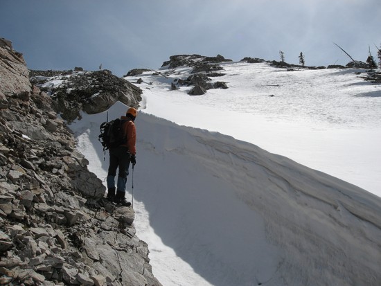
Kathryn carefully crosses the snowfield
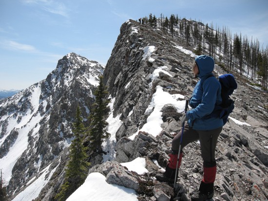
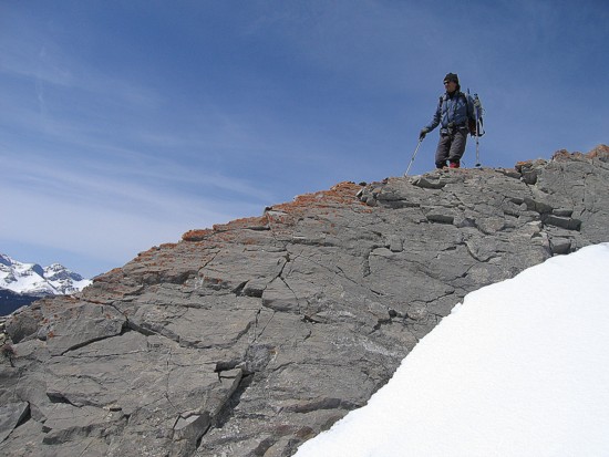
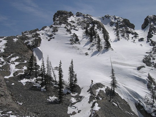
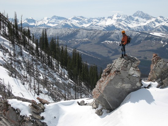
Looking to the summit
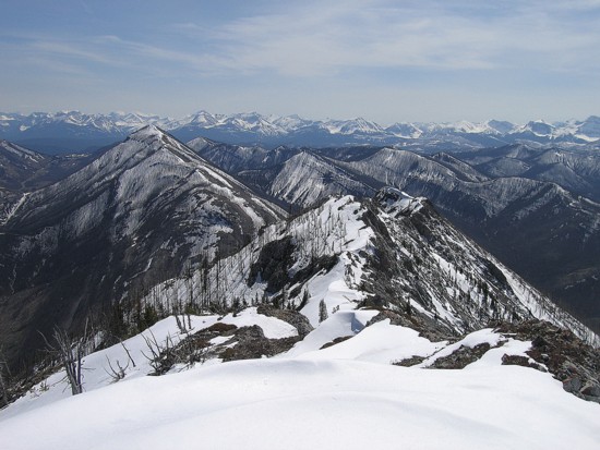
The view to the southwest
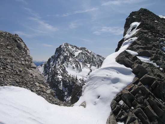
A very cool formation of snow
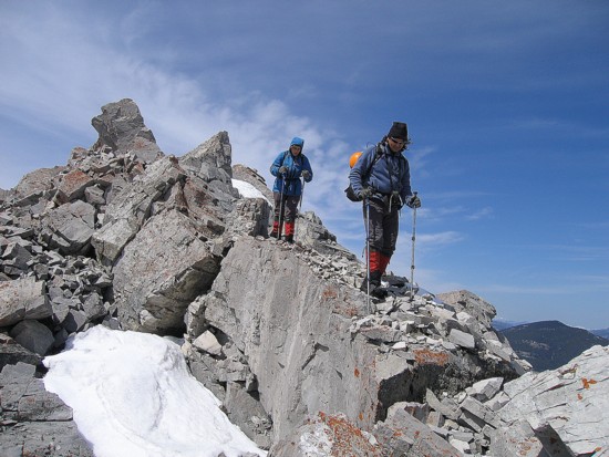
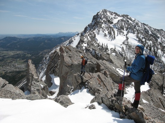
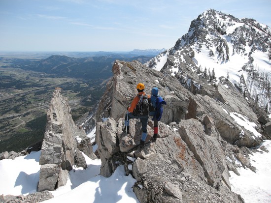
Mark and Keri negotiate the ridge
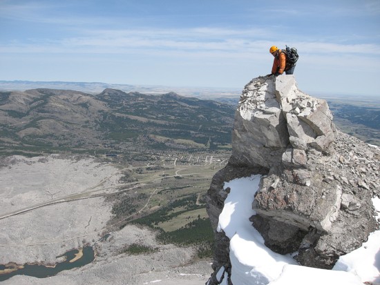
Looking down the precipitous east side of the mountain
Keri and Kathryn at the summit
The view to the south from the summit
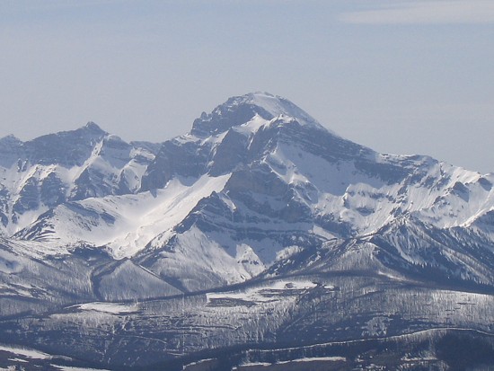
A very shapely peak to the southwest - I'm not sure if it's named - could be McGladrey or Pengelly (?)
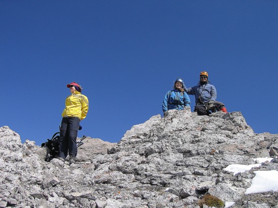
Kathryn, Keri and Mark at the summit
Kathryn descends the west side
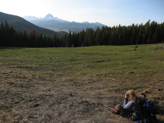
Keri rests in the meadow where we saw the black bear; Crowsnest Mountain in the distance
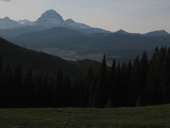
Crowsnest Mountain and The Seven Sisters