Solo scramble.
This peak may join a couple other recent ascents on the “Glad I did it, but never again” list – the others being Mount Farquhar and Goat Creek Peak 1.
Graeme Pole’s southwest slopes route description on Bivouac calls the ascent “short and simple” and it would be, provided you find the steep, grassy slopes Mr. Pole describes. Unfortunately, I didn’t and in my haste to gain some elevation, I ended up on steep, but heavily treed slopes. This resulted in a brutally slow and strenuous ascent. In retrospect, I should have searched for the correct slope, as I was only about 100 horizontal metres away from it.
 By the time I found the correct slope and slogged up to the
upper plateau, I was completely exhausted and considered turning around.
However, since I was already thinking that the trip was going to make it onto
the “Glad I did it, but never again” list, I decided that I had better get to
the summit to avoid having to return.
By the time I found the correct slope and slogged up to the
upper plateau, I was completely exhausted and considered turning around.
However, since I was already thinking that the trip was going to make it onto
the “Glad I did it, but never again” list, I decided that I had better get to
the summit to avoid having to return.
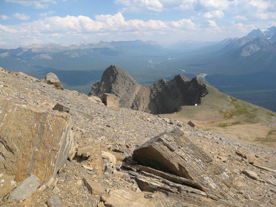
The upper section of the trip was actually quite enjoyable.
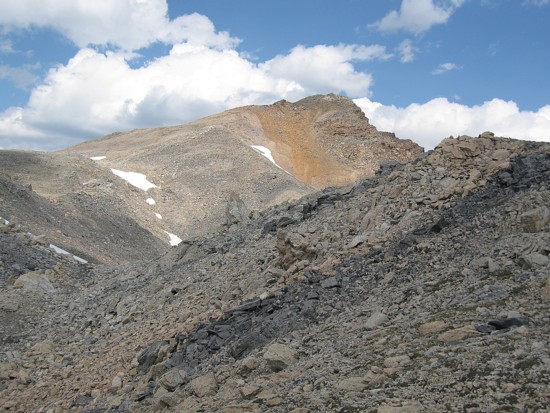
The variety of colourful rock was very impressive and the views started to open
up. Along the way I was surprised to find footprints in the snow, obviously from
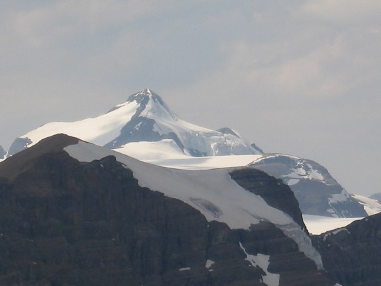
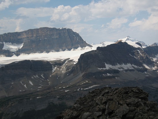
a very recent ascent. As Mr. Pole mentions, the summit view is “staggering”,
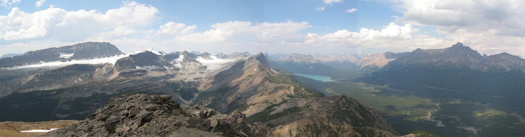
especially up Bath Creek towards the Waputik Icefield. Highlights of the
panorama were Balfour, Daly, Cathedral,
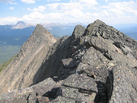
The alternate descent route was very interesting and scenic, but didn’t last long. I soon arrived at a steep step in the ridge that definitely didn’t look like a scramble. However, the rock was pretty solid and all of a sudden I was thinking about returning, but using this southeast ridge route instead - so much for the “Glad I did it, but never again” list. At this point, I should have re-ascended the mountain and used my ascent route, but of course I insisted on trying to shortcut to the grassy slopes. This required side-sloping some rather treacherous steep slopes of hard dirt and was not fun at all.
Back at Bath Creek, the skies let loose with lightning and heavy rain. My raincoat protected my upper body, but I didn’t have rain pants and probably ended the day a good five kilos heavier than what I started at, due to becoming water-logged.
Upon reflection, I’ll put this trip on the “Glad I did it, but will return to try the southeast ridge someday” list.
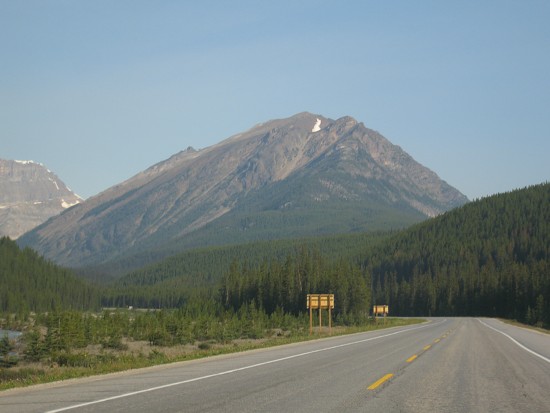
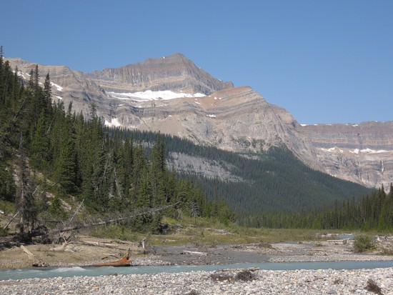
Waputik Peak from Highway 1
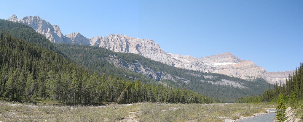
The long ridge that's home to Mount Bosworth (left) and Mount Daly (not in the photo)
An unnamed highpoint on that ridge
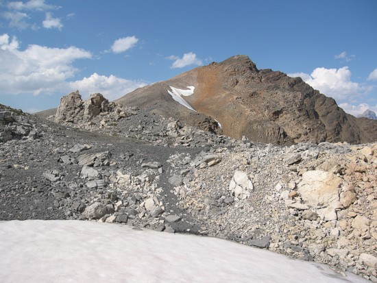
The colourful upper slopes of Waputik
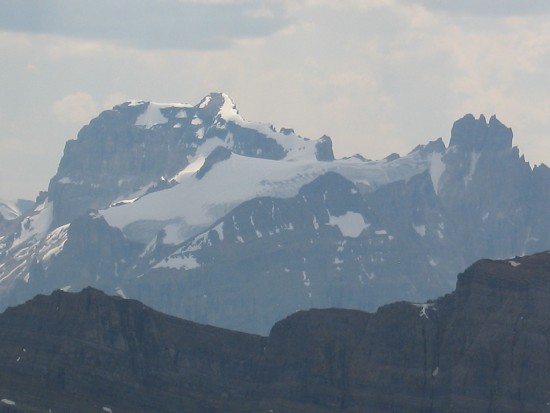
Mount Balfour
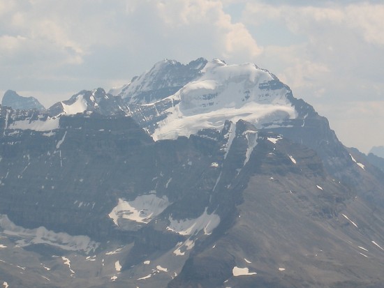
Mount Daly
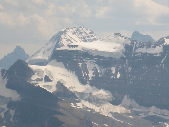
Cathedral Mountain
Mount Victoria; Narao Peak in the foreground
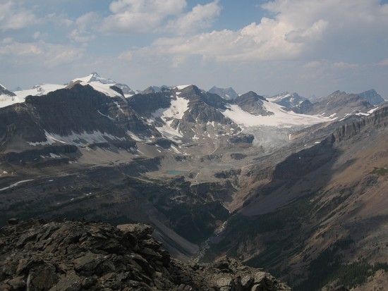
Looking north to the Wapuitk Icefield
Popes Peak (foreground), Lefroy (behind), Deltaform (distant left), Hungabee (disatnt right)
The southeast ridge
Just before I had to retreat