Mount
Weed
attempt –
December 3, 2005
Mountain height:
3,080 m (8,344 ft) – we turned around at 2,990 m
Elevation gain:
1,340 m
Ascent time:
6:00
Descent time
3:15
Scrambling and a little mountaineering with Mark.
We can definitely add
Actually, because there was
little to no wind, the temperature, in the minus 20’s, was not a factor until
we passed the 2,600 metre mark. It took us a while to get to that point, because
we took an alternate ascent route (not on purpose), and had to traverse a fair
distance south to get back on track. Once on the described ascent route, the
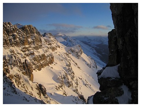
trip was just one beautiful, winter, mountain scene after another. Low clouds
obscured peaks to the west, but the impressive pinnacles and rock formations on
And infinitely more dangerous! At around 2,800 m, while ascending the increasingly steep avalanche gully, I heard the dreaded whumpf and suddenly we were both surrounding by a significant fracture line. I took one step, triggering a slab avalanche that started to slowly carry me down the mountain. The slab was only about 10 centimetres thick, but I was completely helpless to stop. As I passed Mark, he grabbed onto me and we both continued down for several metres, before the slide stopped. In all, we probably only went down about 15-20 metres, and the slide lasted perhaps 7 seconds, but it was a sobering reminder that even with a minimal snowpack, avalanches can happen.
We were both a little shaken by the incident, but decided to continue on, this time ascending alongside the rockwall that lined the gully, where there was little chance of starting an avalanche. Luckily, we had brought our double, plastic mountaineering boots and full-sized crampons, as opposed to our scrambling boots and 6-point crampons. The snow had hardened almost to ice in many places, and aggressive front-pointing was the only way to ascend the steep terrain.
Higher up, the grade again steepened and starting another avalanche became a concern. With a good belay, we crossed the gully and started to scramble up ledges on the right side of the gully, as suggested in Kane’s description. This again, proved to be quite dangerous, in the terrain’s present condition, and 90 vertical metres from the summit, we unanimously decided to retreat. It was a good decision, as downclimbing what we had ascended was tricky and very slow. We got a decent dose of Crazy Carpeting on the lower slopes, but still did the last 1.5 hours of the trip by headlamp, under a moonless, but clear sky.
Given the events of the day, we were not at all disappointed about failing to reach the summit and counted ourselves to be lucky that the slide wasn’t more serious.
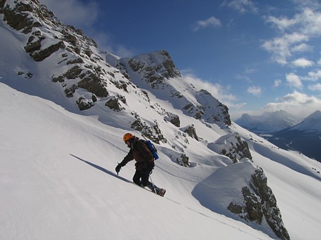
On the lower slopes, with the lower summit of Mount Patterson behind
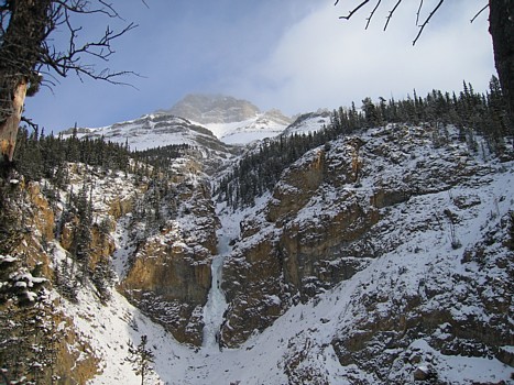
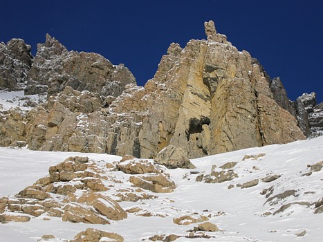
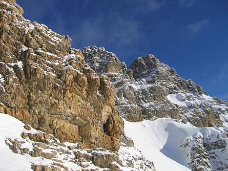
An icefall and the summit block of Weed
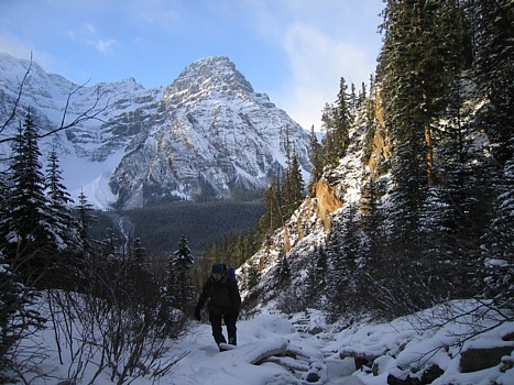
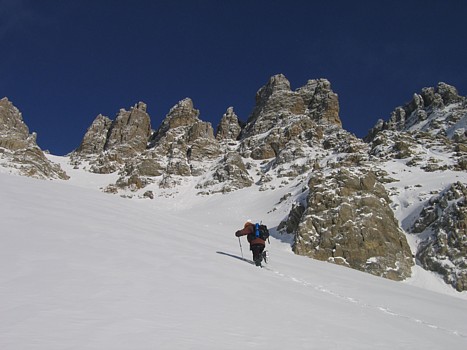
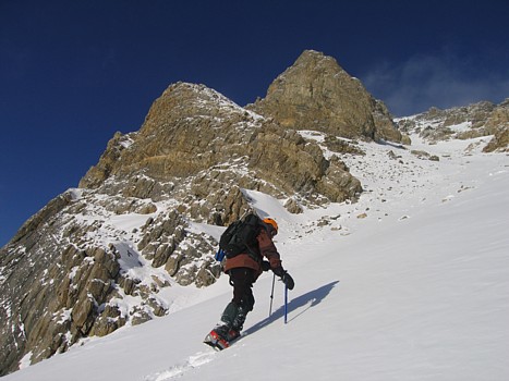
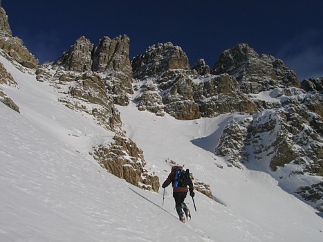
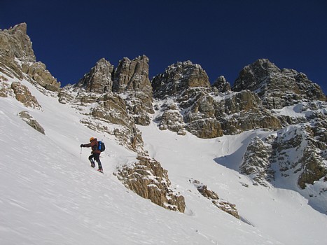
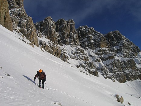
Starting up the ascent gully
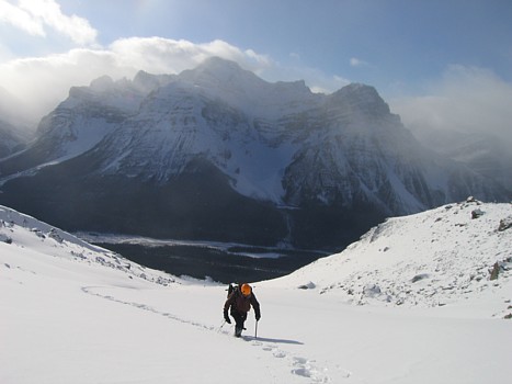
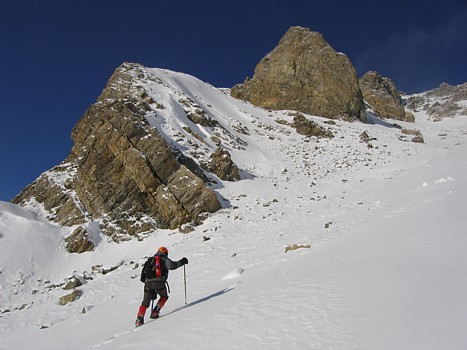
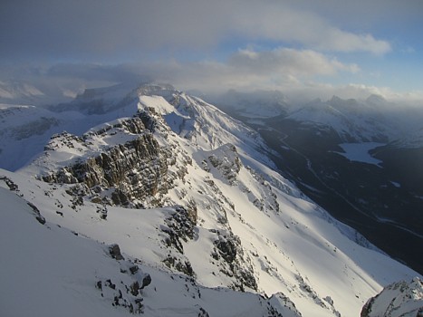
Looking back to Mount Patterson
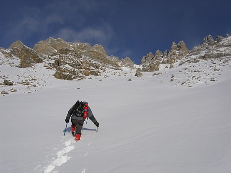
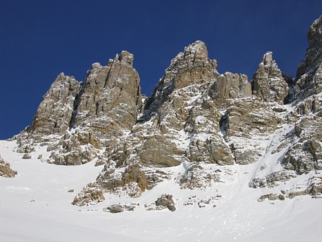
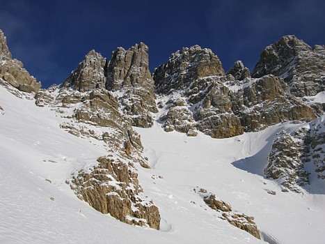
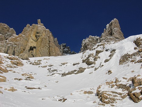
Approaching the scenic cliffbands
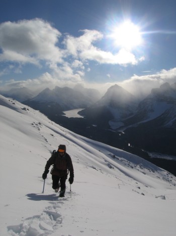
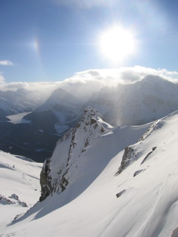
Looking back to Peyto Lake; Caldron Peak to the right of the lake
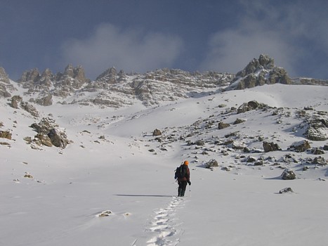
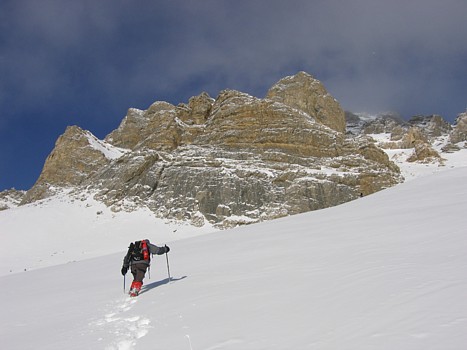
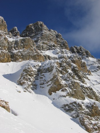
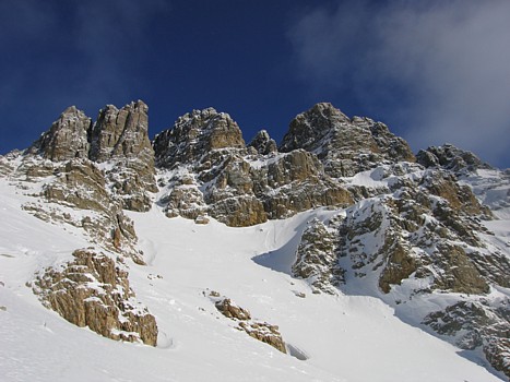
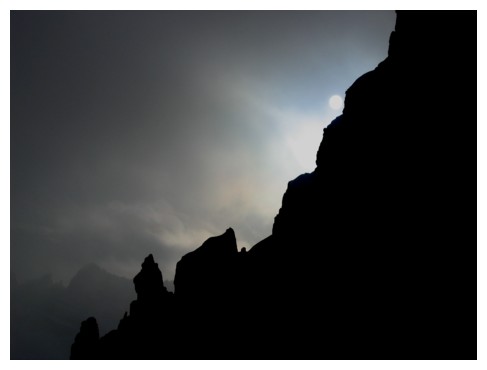
The pinnacles lining the south ridge of Mount Weed
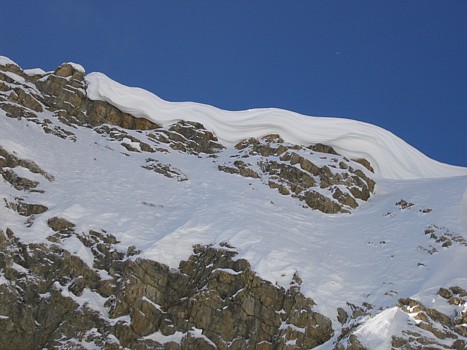
An early season cornice
Looking back at the cornice
Looking down the south ridge of Weed; this is where we turned around
The sun disappears behind the mountain
The west face of Weed, late in the day
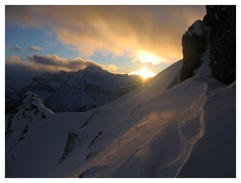
The sun sinks behind Mount Patterson