Wendell
Mountain attempt, East Peak of Wendell II – April 19, 2006
Mountain height:
2,394 m (7,852
feet)
Elevation gain:
1,200 m
Ascent time:
4:45
Descent time:
2:00
Solo
scramble.
I
had two objectives for this trip; 1. attempt the true summit of
A
good trail led easily to the start of the scrambling below the Wendell/East Peak
col. Here the scrambling on good rock was fun and involved a little
route-finding, but was quite short. The remainder of the ascent to the col was a
scree slog, though the surrounding rock scenery was splendid.
At
the col, a look over to the
The
ridgewalk in the opposite direction (east) was very enjoyable and
straightforward until I came to a pinnacle that blocked the ridge. Here, I had
to lose some elevation and I then spent a good half hour looking for a weakness
that would take me back to the ridge. Eventually I found one, climbed it, and
stood at the bottom of the crux – a steep rockface with significant exposure
on both sides. Snow still remained on the left side of the ridge and I found
this quite unnerving. I started up and once started there was no turning back. I
only had to cover about 10-12 metres of terrain, but it was 10-12 metres of some
of the most unnerving scrambling I had ever done. Again the rock was loose and I
had to ascend the step with one foot on the ridge and the other in the snow on
the left side of the ridge. The snow provided no stability whatsoever. Thank God
it only a small step. I was quite relieved to get up it and cross to the summit
only a few metres away.
Obviously, I had no intention of returning the same way I came up and so I used the ascent/descent route of our previous trip – a pleasantly fast route that I was able to complete in 2 hours. A very interesting and “exhilarating” day out.
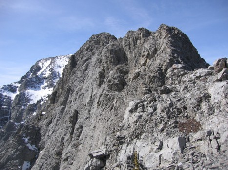
Descending the east ridge of Yamnuska again; Wendell Mountain (centre), East Peak (right)
Mount Doom; the notch just left of centre separates it from Yamnuska
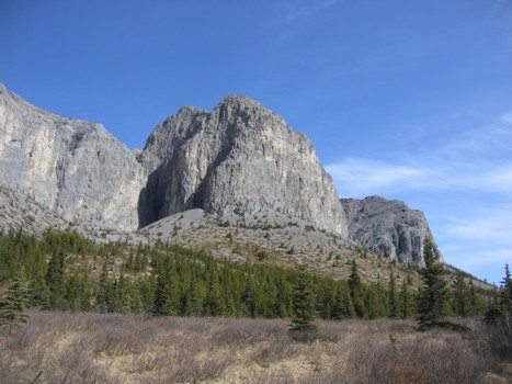
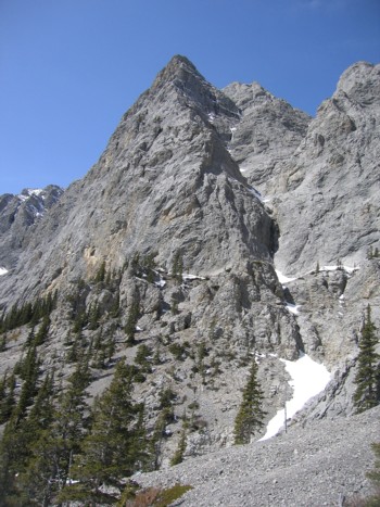
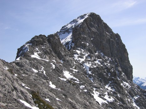
South face of the East Peak
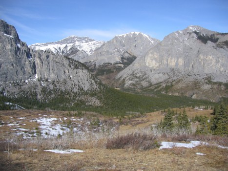
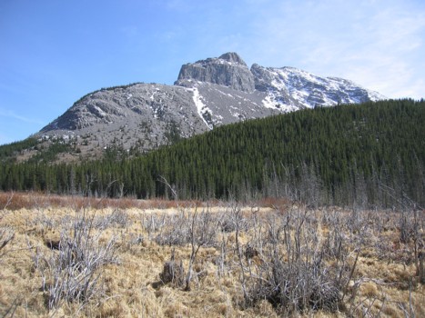
Wendell Mountain; the ascent route traverse scree slopes on the right and then ascends to the lowpoint right of centre
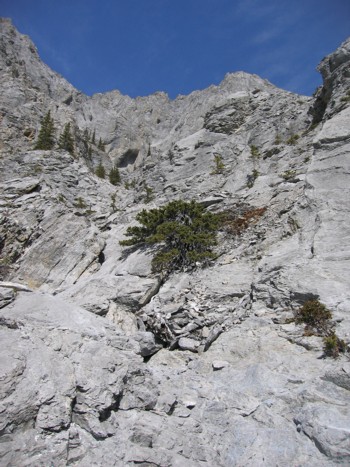
Rock scenery near the ascent route
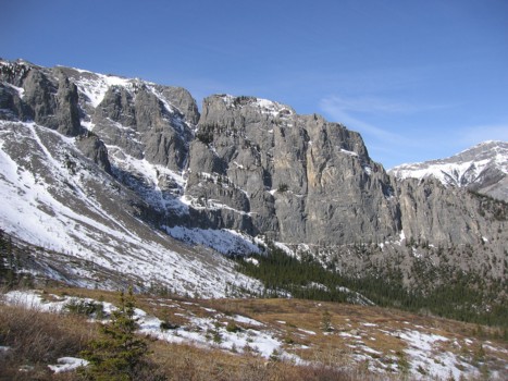
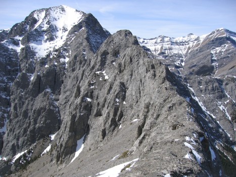
The east side of Wendell Mountain
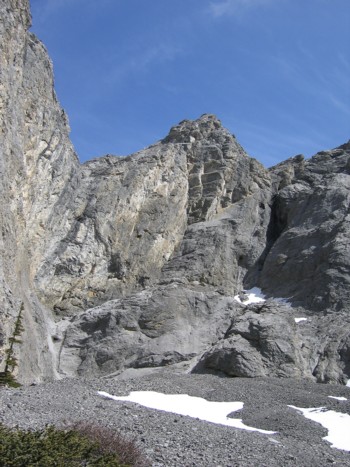
The ascent route to the col
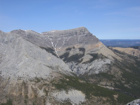
Association Peak, as seen from the col
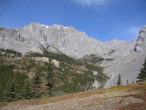
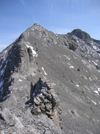
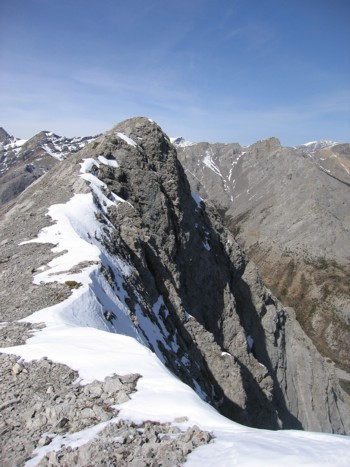
The east ridge of Wendell; summit is behind
Looking to the East Peak of Wendell (far right)
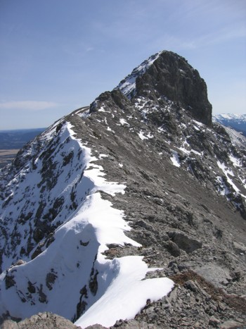
Where the east ridge steepens and narrows
Looking back at the east ridge and the summit of Wendell
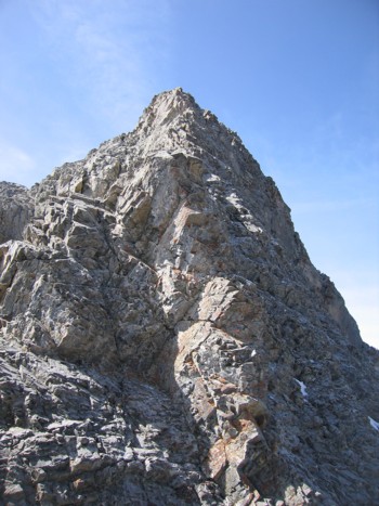
Approaching the summit block of the East Peak
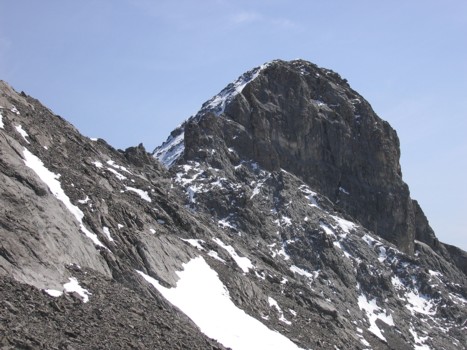
A closer look at the summit block
A view to the north
The summit block
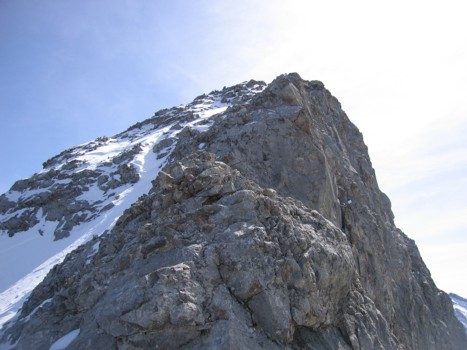
The crux
Back
down in the CMC valley; Mount
Doom and Yamnuska