Barrier Lake Lookout IV
December 23, 2017
Mountain
height: 1981 m
Elevation gain: 625 m
Ascent
time: 2:40
Descent
time: 1:40
Solo snowshoe.
This seemed to be a perfect day for a snowshoe
attempt of a small peak Mark and I had visited several times in our early days
– there was a ton of fresh snow and the air temperature and wind chill (-34 degrees) were
going to be brutal throughout the day, rendering a more ambitious objective a
dubious proposition. Since most of the ascent tyo the Barrier Lake Lookout is up through the forest the
wind chill would theoretically be less of a factor.
However, the wind WAS a factor in getting from
the trailhead to the forest. In fact, even wrapped up completely from head to
toe in my warmest get-up, I had to walk backwards for a several hundred metres
to prevent frostnip/bite on even the smallest sections of exposed skin of my face. Once in the
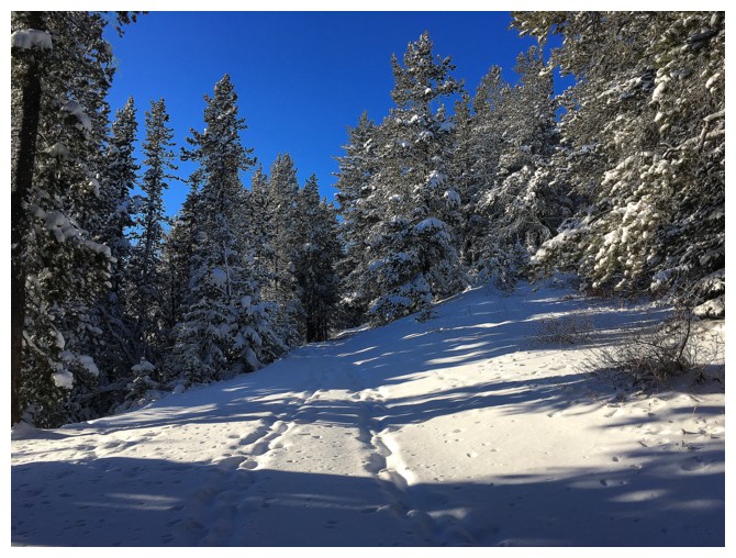
trees that concern disappeared and I enjoyed an easy, snowy (and therefore very
scenic) ascent to McConnell Ridge.
Getting up to the lookout required considerable
more effort, through fresh, knee-deep snow. I was super happy to have
snowshoes. Of course the wind made conditions at the summit pretty brutal
but at least there were a few structures to hide behind! After circling the
lookout to experience the views in all directions I embarked on a wonderfully
easy descent.
A great little trip for extremely cold (or extremely hot, for that matter)
days.
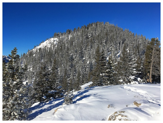
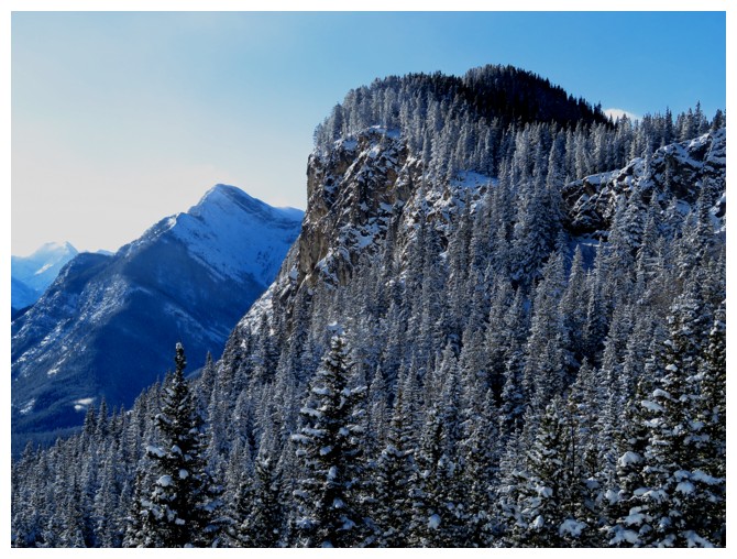
McConnell Ridge and Yates Mountain (where the Barrier Lake Lookout resides)
The snow wasn't too deep here but snowshoes made travel a little easier
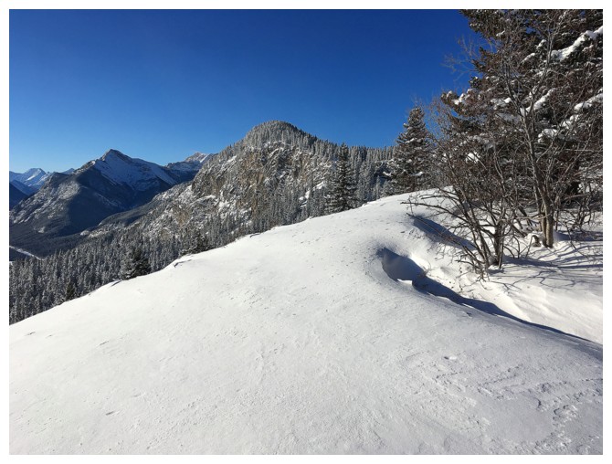
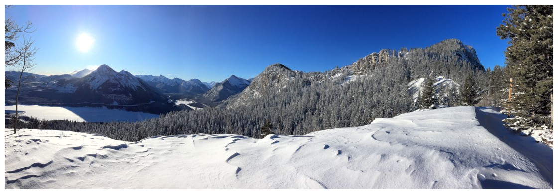
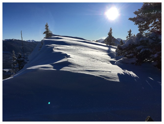
The first open area offers good views
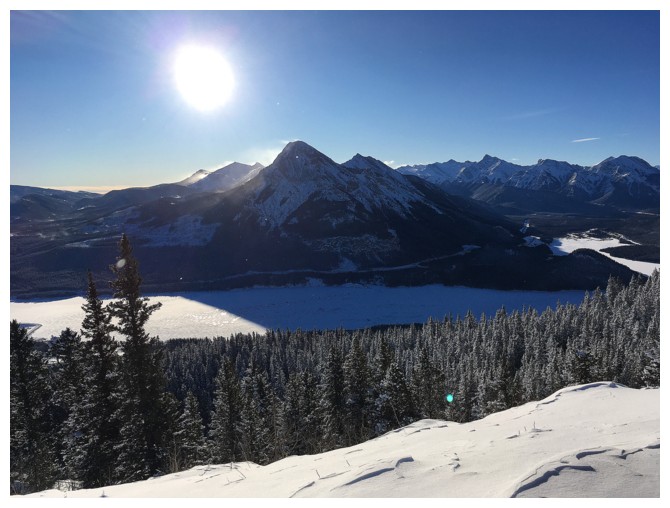
Barrier Lake and awesome Mount Baldy
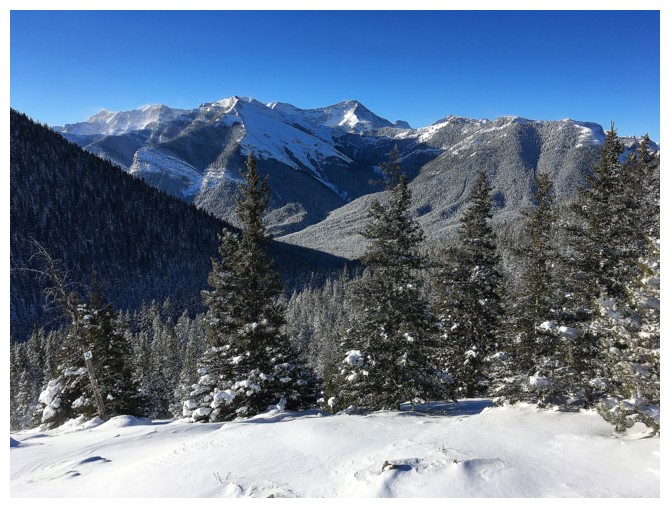
Kananaskis Peak, Wasootch Peak at the left, Mary Barclay Mountain in the centre and part of McConnell Ridge at the right
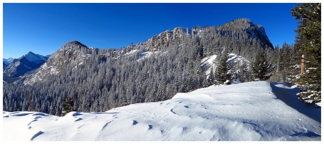
Yates Mountain (right) and McConnell Ridge
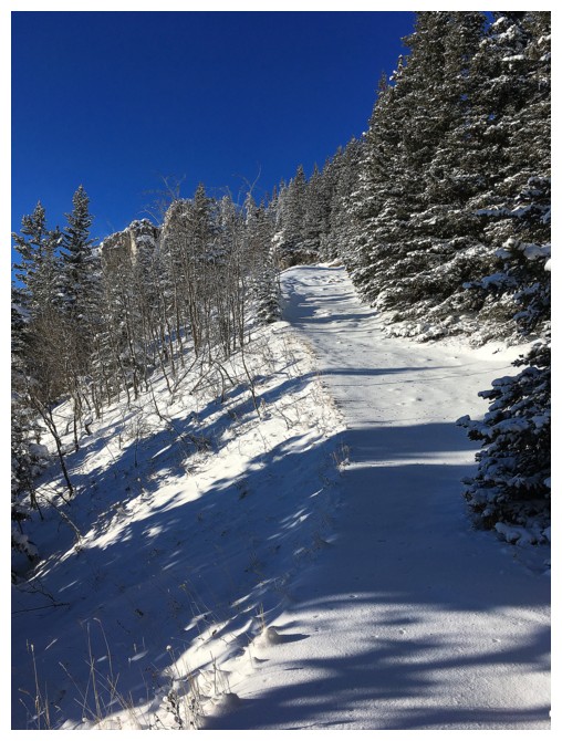
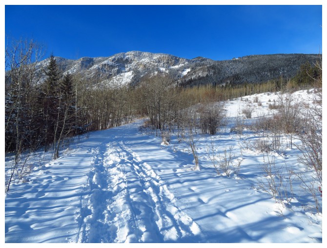
Travel to McConnell Ridge starts easy (shown here) but gets quite steep for a few short sections
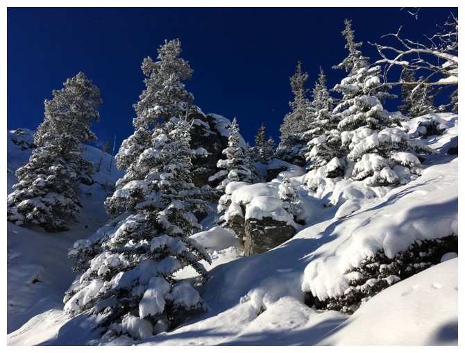
Nothing better than a fresh layer of snow on the trees and blue sky
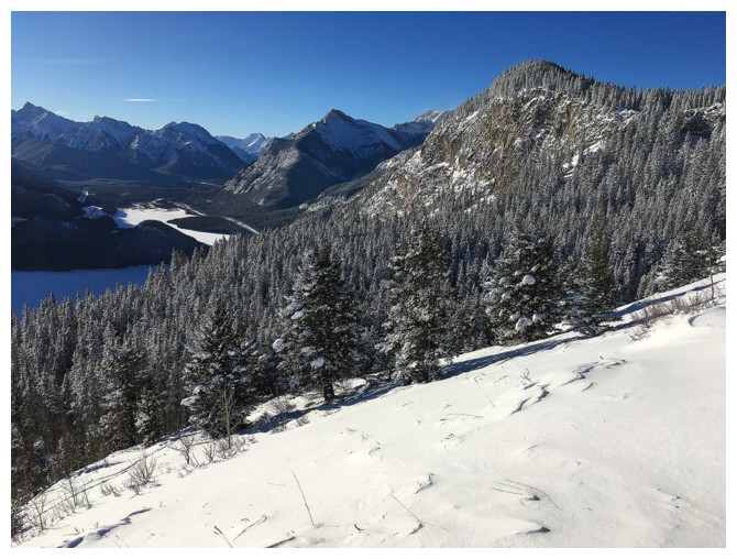
Approaching the viewpoint on McConnell Ridge
Looking up to Yates Mountain
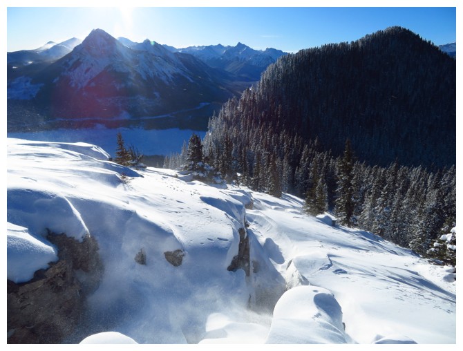
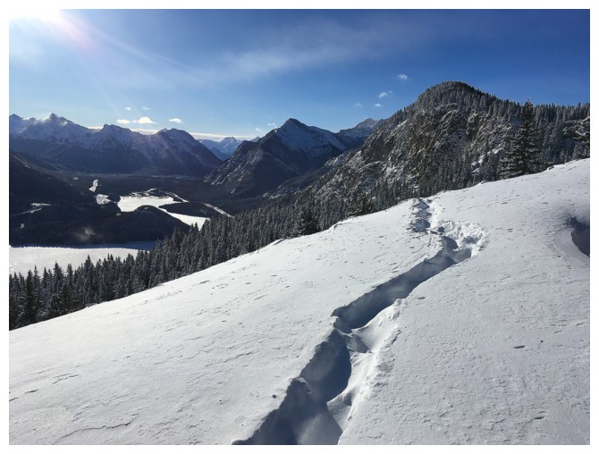
View to the west
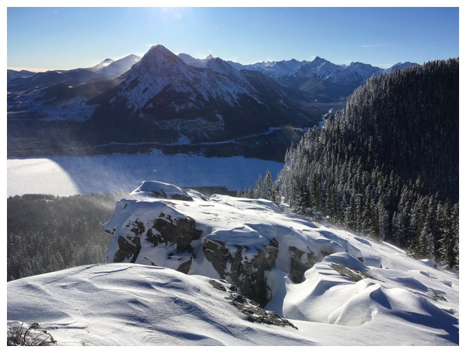
The wonderful rocky viewpoint of McConnell Ridge
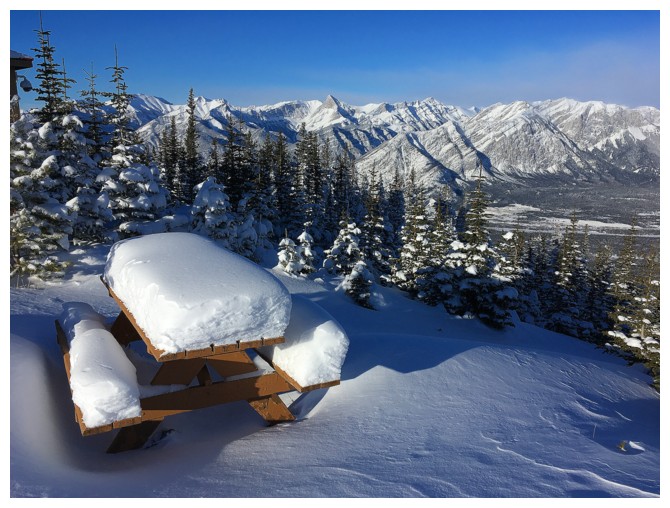
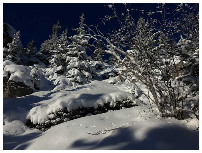
Near the lookout. The depth of snow on the bench indicates the magnitude of a recent snow storm.
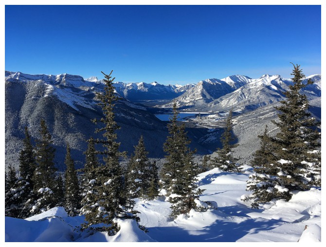
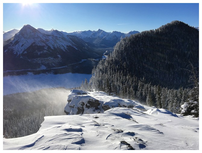
Summit view up the Bow Valley
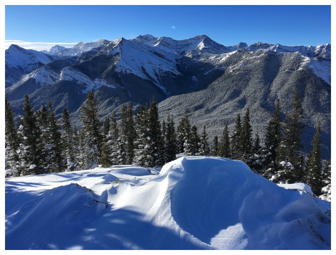
The Lorette/Skogan/McGillivray massif lies behind the Heart/Mary Barclay massif
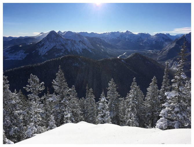
View to the south
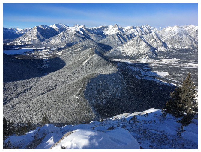
Back up the Bow Valley. Mount Fable is visible near the centre
Back to McConnell Ridge. Note the fissure between the rocks.
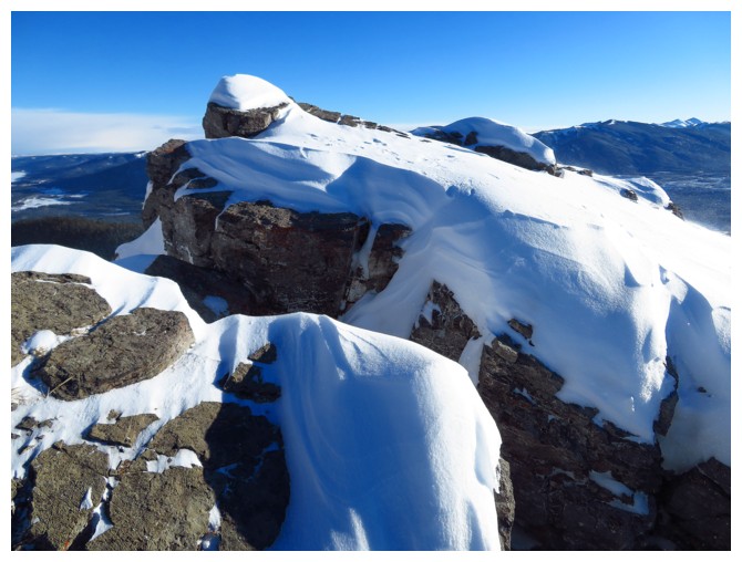
Looking over the fissure
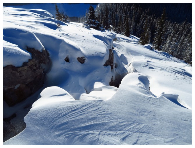
It's wide enough to fall into and deep enough to result in serious injury or death
Mary Barclay (left) and the south outlier of McConnell
Back the open viewpoint, before an almost effortless descent
The End