Belmore
Browne
Peak
and
GR403471 –
Mountain height:
Belmore
GR403471:
2,440 m (8,003 ft)
Elevation gain:
GR403471:
200 m
Ascent time:
Traverse to GR403471:
1:00
Descent time:
2:25
Roundtrip distance:
approx. 12 km
Solo scramble.
The polar opposite of last week’s disappointing trip up Mount Jimmy Simpson. For the latter, Mark and I were expecting great weather and a fantastic summit view – the constant cloud-cover ensured we would get neither; for the former, I was expecting not so good weather and an average summit view – again, I got neither – the weather was fantastic and the summit view stupendous (does that still mean they were opposites even though neither met my expectations??).
After wasting ten minutes,
standing at the side of the road on the Powderface Trail, trying to figure out
where the correct ascent route lie, I simply decided to ignore the route
information and make a beeline through the forest, towards the summit of Belmore
Once on the ridge, the ascent
was very easy, although high winds and plummeting temperatures added a little
challenge. Throughout, there was a particularly eye-catching view of the
Whatever you do, if you attain
the summit of Belmore Browne
The wind had really kicked up
by this time, blowing snow in all directions and, in an effort to stay warm by
staying on the move, I left the summit of Belmore Browne after a brief stay of
about 2 minutes. Shortly, thereafter, I staggered onto the second summit (very
strong wind!), where the panorama to the west (previously blocked by the summit
itself) completely opened up. The stunning view included Yamnuska, Fable, all
Three Sisters, Lorette, the 4 peaks of Lougheed, Allan, Collembola, Bogart,
Kidd, Galatea, Gusty, The Fortress, and Fisher peak, not to mention many other
unnamed snow-covered peaks and ridges. The 3 summits of Mount
The third summit at GR403471, took a little more effort to attain, but again provided a magnificent view, that was not at all blemished by the fact that I could not feel my fingers or toes by this time! Trying to escape the vicious wind, by taking shelter behind the summit cairn, I was able to spend a little more than 2 minutes at the summit, taking in as much of the wonderful scenery as possible. After that, a rapid ascent to a warmer and more hospitable environment was certainly the most immediate order of business.
I managed to find the correct route for the return trip (actually, from the summit it was quite obvious), descending the gully between Belmore Browne and the second summit to a streambed that pretty much took me all the way back to the road. The entire trip far surpassed my expectations and definitely warrants a return trip to traverse more of the many ridges emanating from this minor, but very scenic summit.

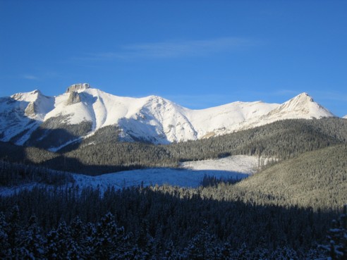
Belmore Browne Peak at the far right; the correct ascent route goes along the left side of the cutblocks and then up a streambed to the point south of the ridge; the route I took, went straight through the tress at the right hand side
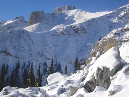
Looking up at "Tiara Peak" from below the south ridge
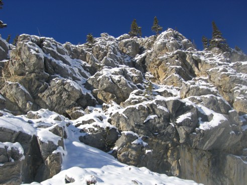
Beautiful rock and snow scenery near the south ridge
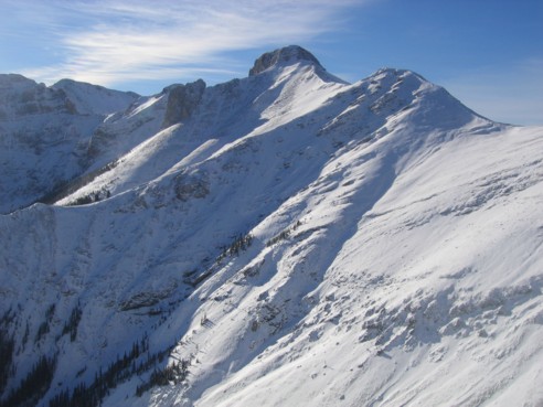
Another look at "Tiara peak", as seen from the the ascent slopes of the south ridge
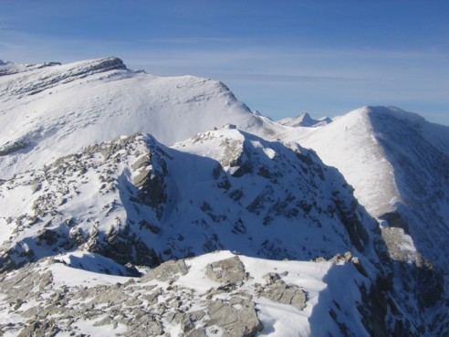
At the summit of Belmore Browne Peak, with the connecting ridge to the second highpoint at the right; 2 of the peaks of Mount Lougheed can be seen through the gap, just right of centre
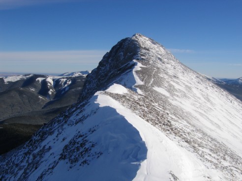
Looking back at the summit of Belmore Browne Peak from the connecting ridge
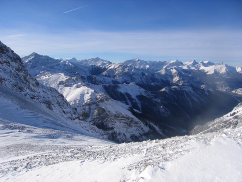
A sea of recognizable peaks to the northwest
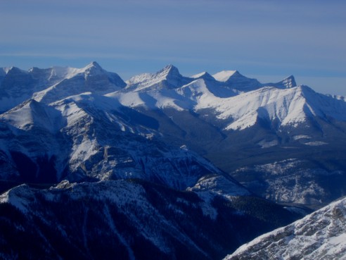
A closer look at Mount Sparrowhawk (far left), the 4 peaks of Mount Lougheed, and Mounts Allan and Collembola in front of Lougheed
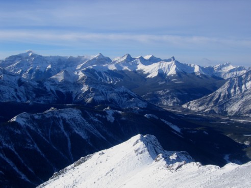
The same as above, with the addition of Mount Bogart (far left), and Big and Middle Sister (far right); from the summit of GR403471
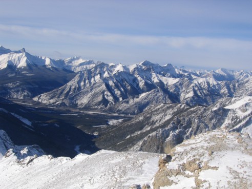
Another summit view of Mount Lorette (centre, foreground)
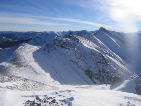
Looking back along the connecting ridge and Tiara Peak
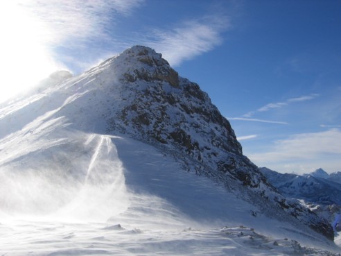
High winds, blowing snow, the sun, blue skies, and a shapely peak - this is what winter in the Canadian Rockies is all about!
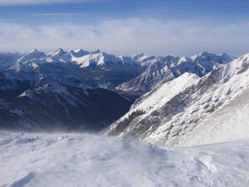
One last look to the northwest
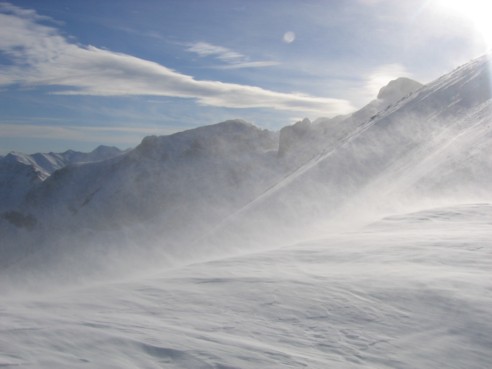
More viciously cold, but splendid winter weather