Bertha Peak VI
May 28, 2025
Mountain heights: 2440 m,
2416 m
Elevation gain:
1225 m
Ascent time to
Bertha Peak: 6:05
Traverse time
to Bertha Minor: 0:35
Descent time:
3:10
Solo
scramble.
It’s
highly
unlikely I’m the first Waterton-obsessed scrambler who has wondered if
a direct
route up Bertha Peak is possible, starting right at Cameron Falls.
Except for a steep rock band near the top, the first section of the
northeast face looks fairly straightforward. Fortunately, the band
appears to peter out at the
right side. 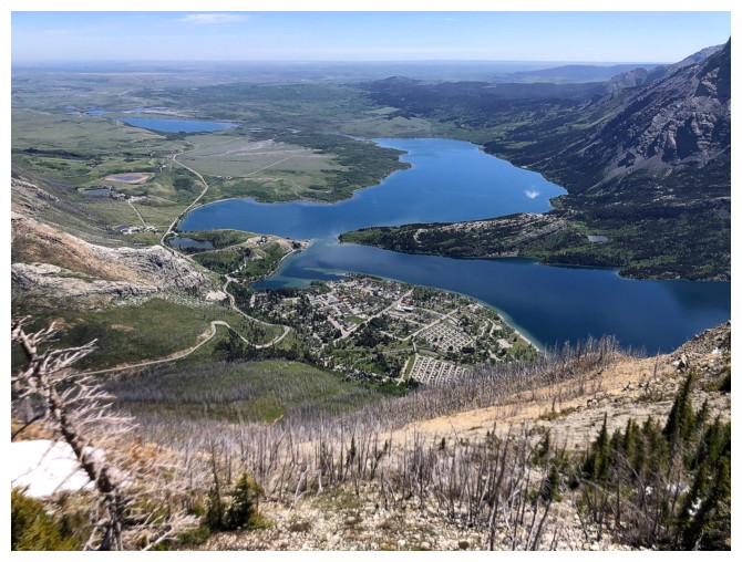 That was the planned route.
A short distance
up, however, I decided to go left instead of right, into the obvious drainage that
bisects the face. Many Waterton drainages are worthwhile destinations in
themselves, and this one had potential. While not a repeat of Blakiston North,
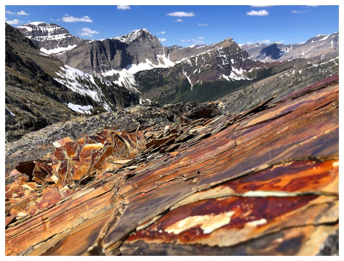
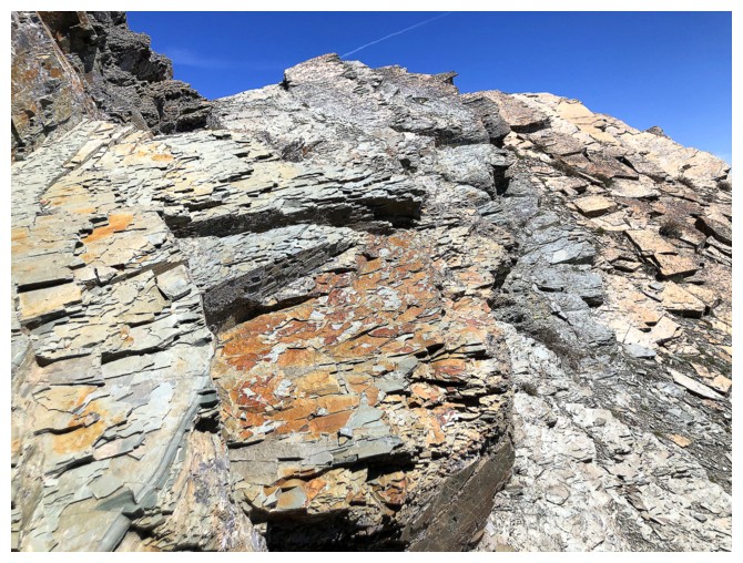
the drainage was fantastic – no red argillite, but an array of colourful rock,
excellent hands-on scrambling, and a few stunning glacier lilies.
At the base of
the rock band, I tried a couple of routes straight up. 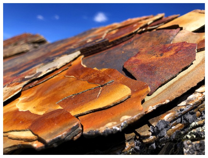 However, the risk
clearly outweighed the reward, and I settled for the easier route up the right
side. Route-finding ceased to be an issue once on the ridge – follow it towards
the summit, with the occasional detour around to the right. One minor highpoint
overlooking the Waterton Lakes would probably make a great late day ascent,
when the Sun is in the west – definitely a future trip.
However, the risk
clearly outweighed the reward, and I settled for the easier route up the right
side. Route-finding ceased to be an issue once on the ridge – follow it towards
the summit, with the occasional detour around to the right. One minor highpoint
overlooking the Waterton Lakes would probably make a great late day ascent,
when the Sun is in the west – definitely a future trip.
I eventually
intercepted the 2020 route, though the details of that route proved to be more
elusive than expected. Perhaps that was the result of being constantly
distracted by the fantastic views of the Waterton Lakes and Bertha Lake – the
2020 trip was tragically marred by very hazy skies.
Upon
reaching
the summit I made a very careless Southern Alberta, mid-March to late
June
error. I took my backpack off and put it on the ground. Within minutes
I could
see six ticks crawling on it – odd, given that I had sprayed the pack
with repellent before leaving. Note to self and others: Bertha Peak
summit is Tick
Central!
After
respraying the pack (and myself), I decided a third visit to the summit of
Bertha Minor was mandatory. My second ascent of the two closely spaced outliers
remains in the Top 5 of my favourite trips ever. Although the highlight of that
day was the terrain between Bertha Lake and the summit, the traverse between
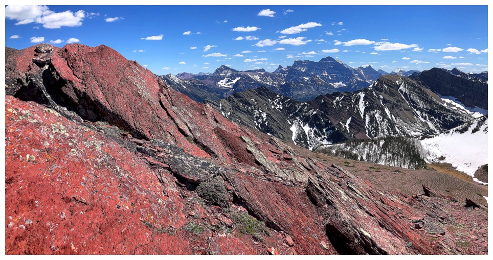
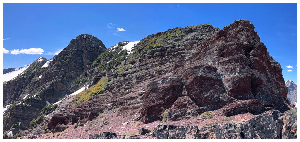
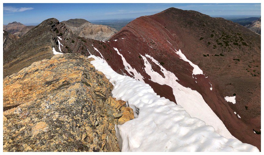
the Bertha Peak and Bertha Minor is a red argillite dream and not to be missed.
From the
summits of Minor I took the easy (and very scenic) route down to Bertha Lake
and back to the start via the Bertha Lake Trail. Upper and Lower Bertha Falls
were as big as I’ve ever seen them.
A fantastic day
and route up two of my favourite mountains in Waterton. I doubt the route will
gain any popularity but for those looking for a different way up Bertha, this
one is quite the ride!
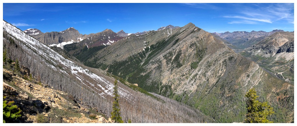
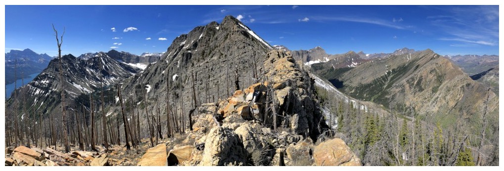
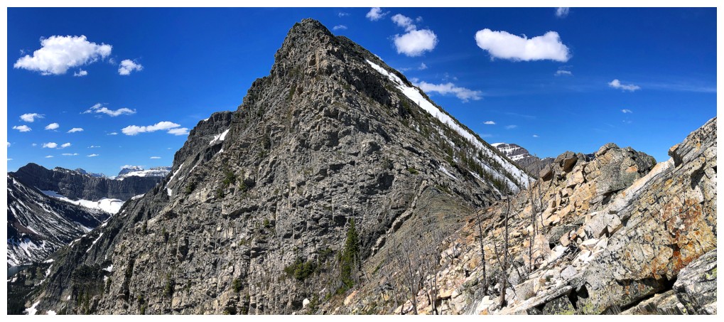
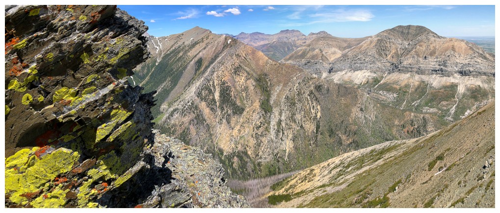
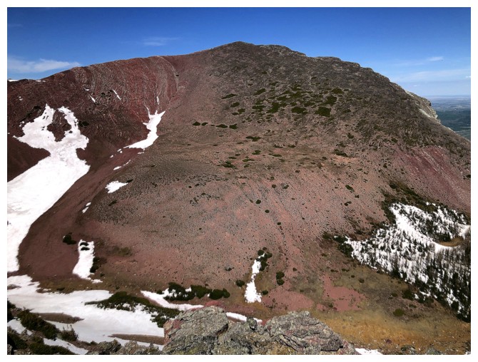
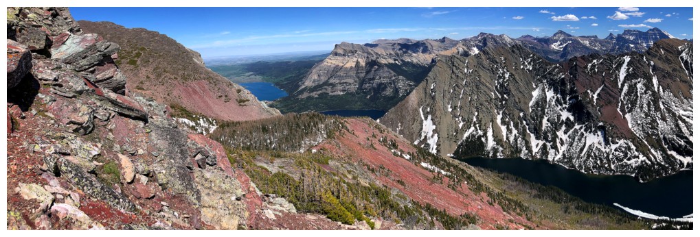
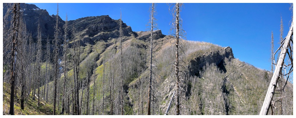
The east face of Bertha Peak. The intended route was the right skyline,
but I ended up in the obvious drainage in the middle, before going
right to get above the rock band.
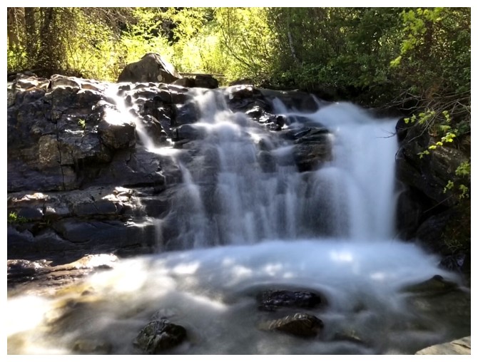
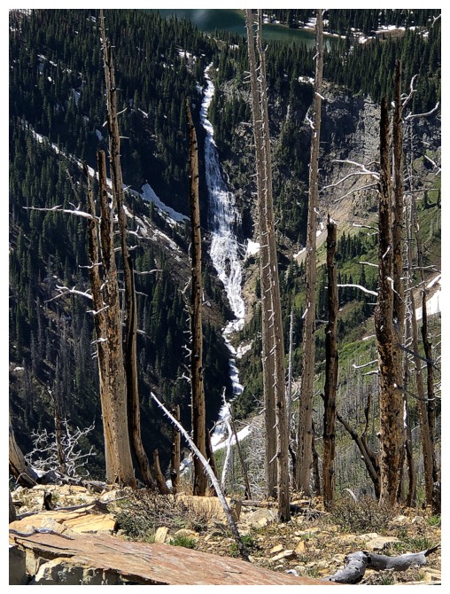
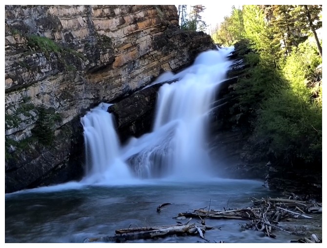
Obligatory shot of Cameron Falls
Typical terrain early on
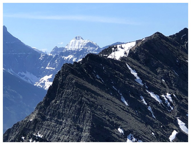
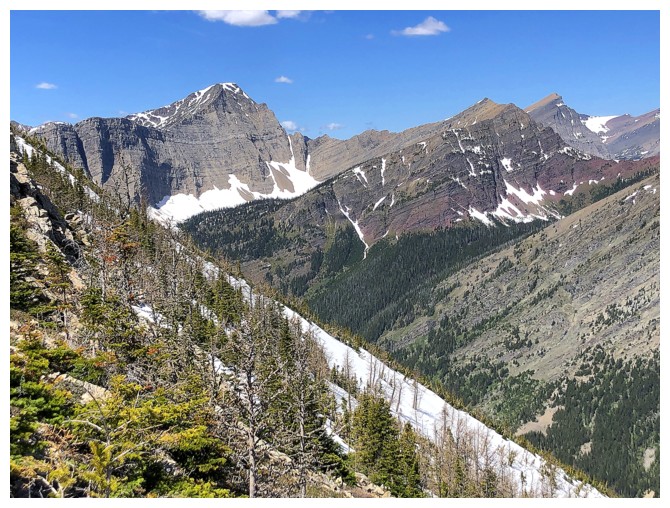
The north end of Mount Richards - a very challenging route
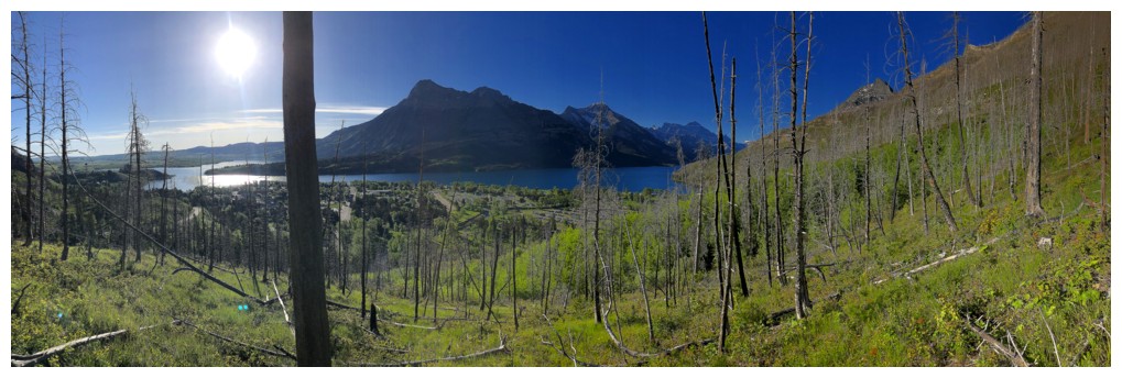
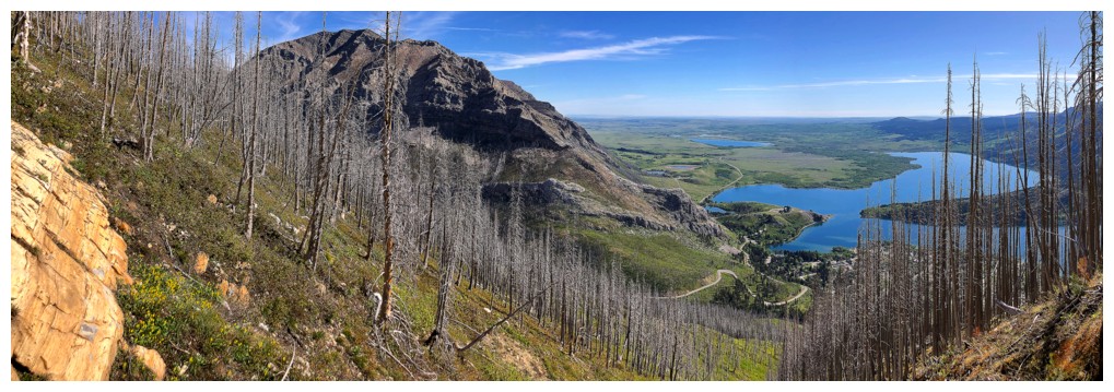
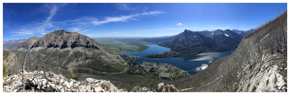
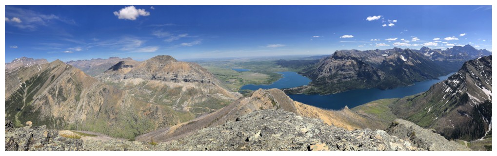
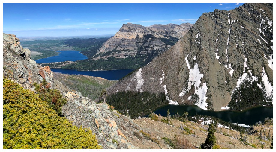
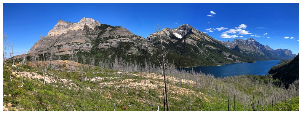
First decent view of Waterton
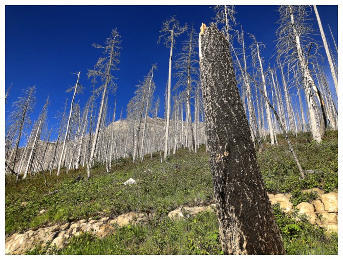
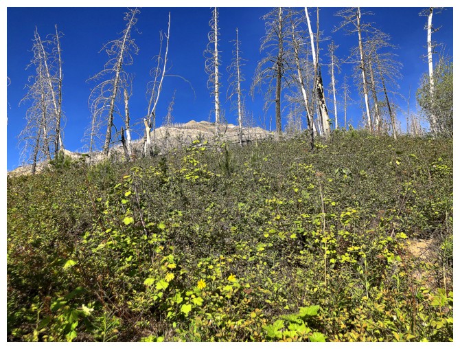
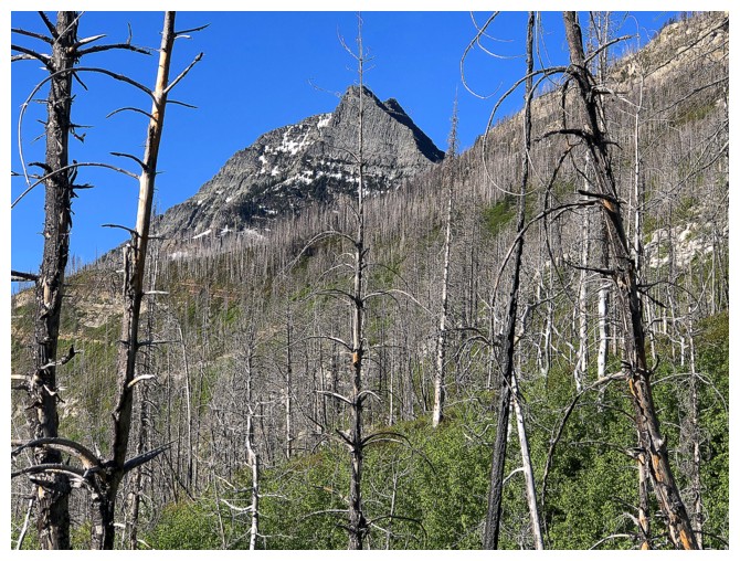
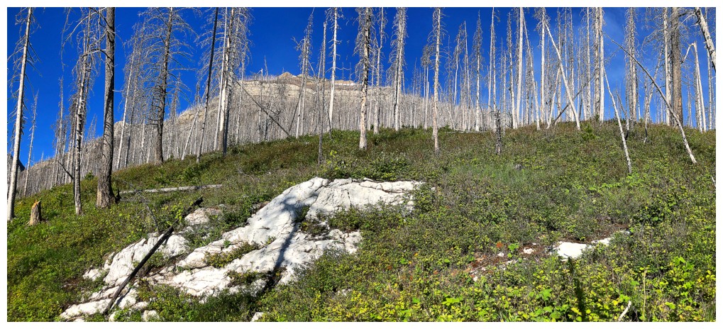
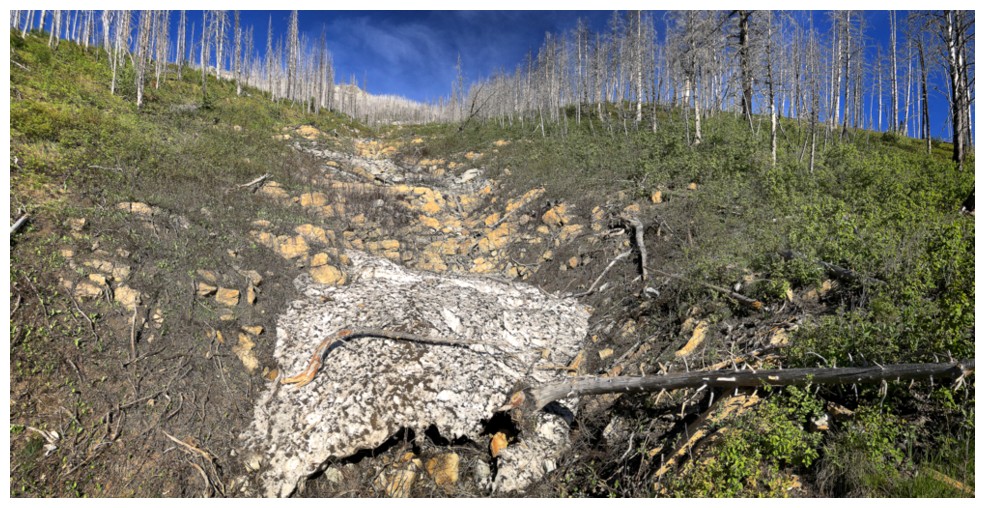
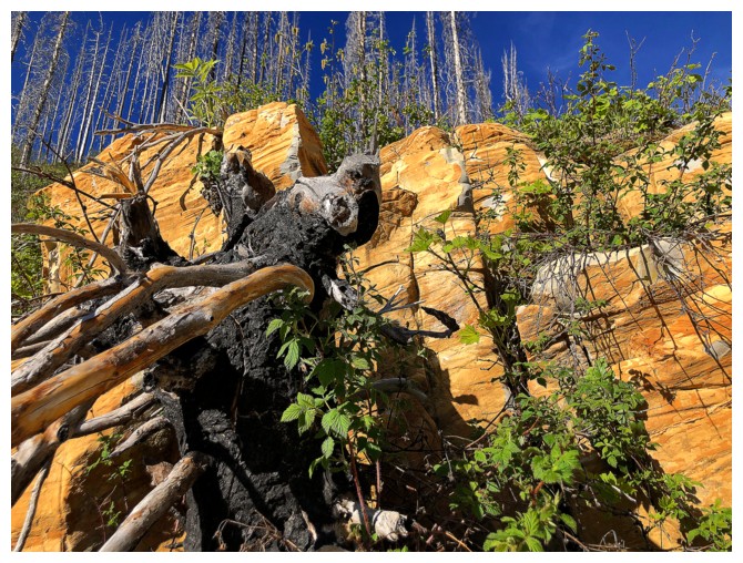
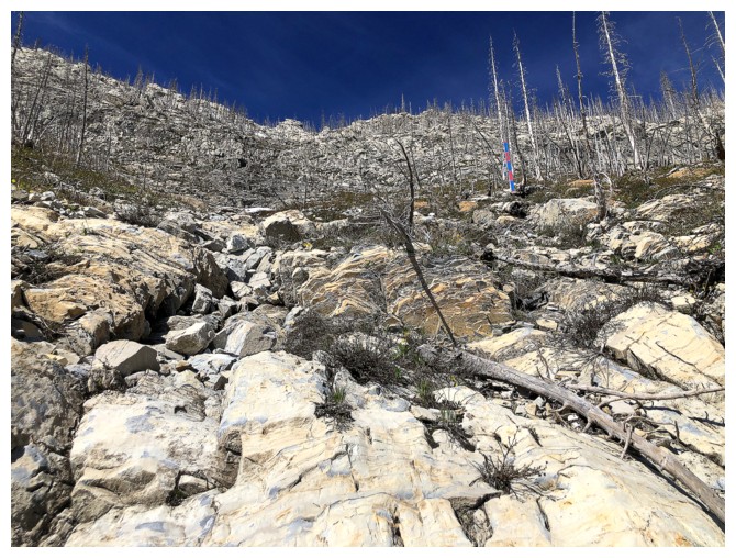
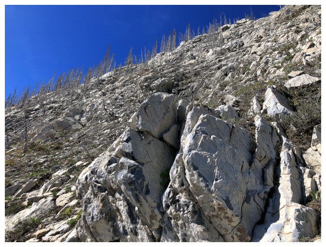
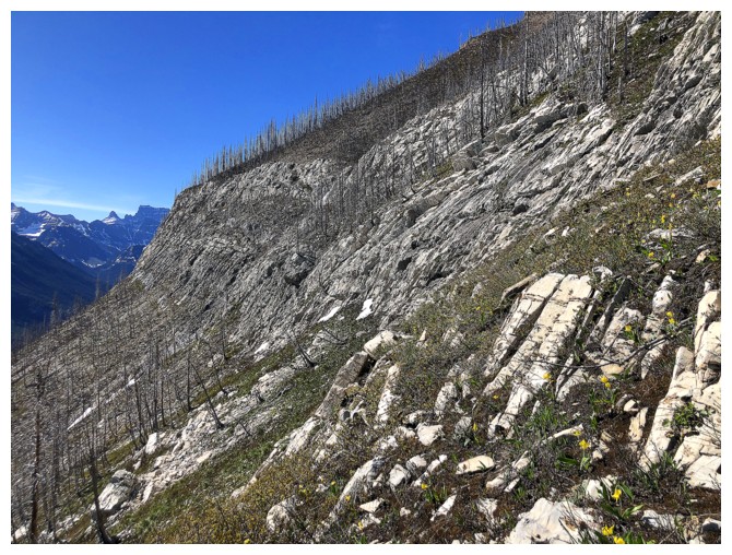
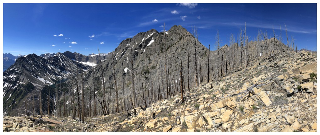
Remains of the 2017 Kenow fire
Traversing left towards the drainage
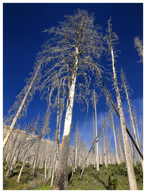
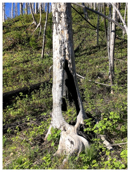
More reminders of the fire
The drainage
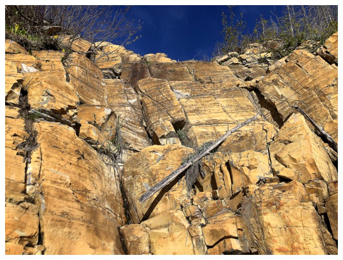
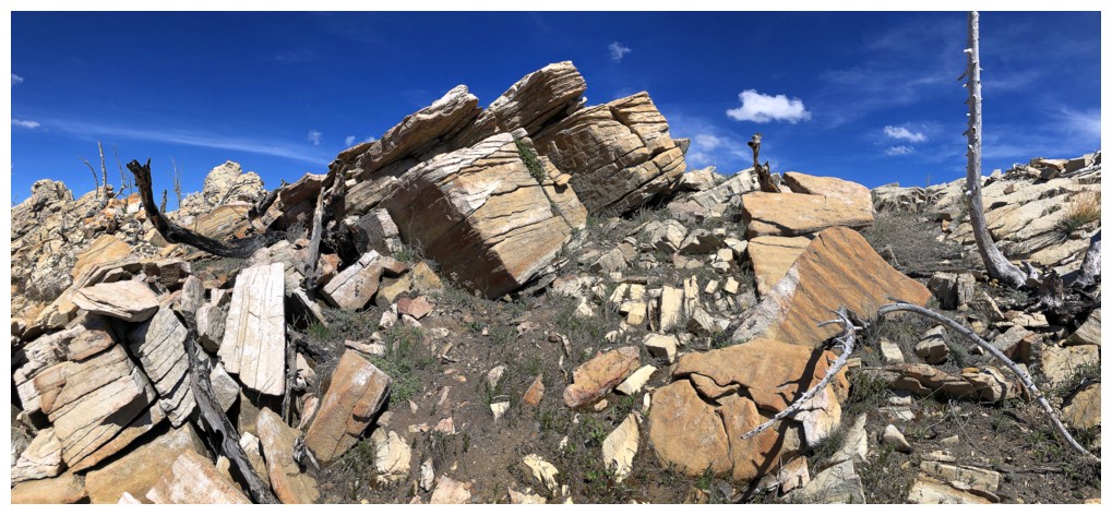
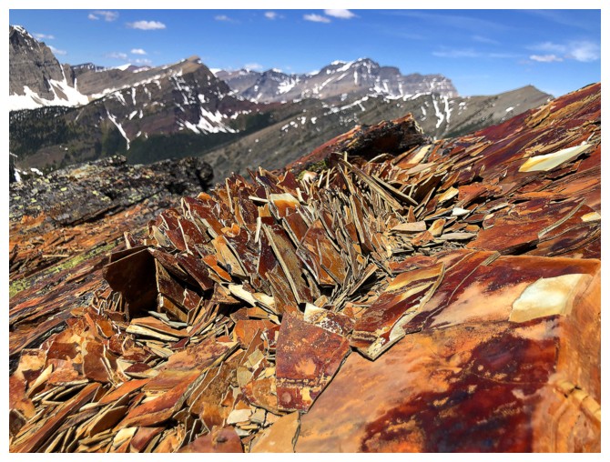
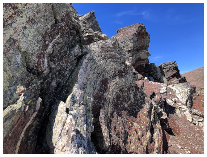
Beautiful rock that was also super solid and fun to ascend

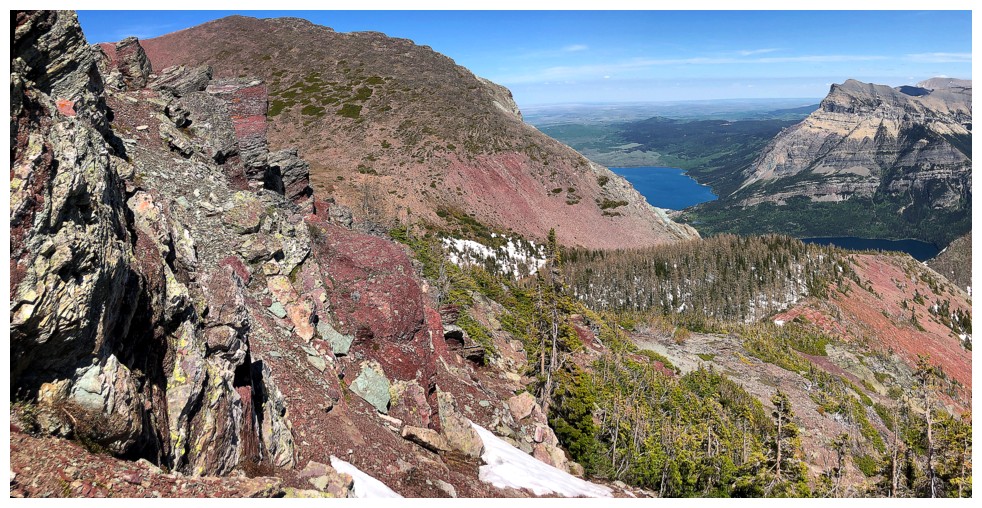
Views back towards the Waterton lakes will be checked out often from hereon in
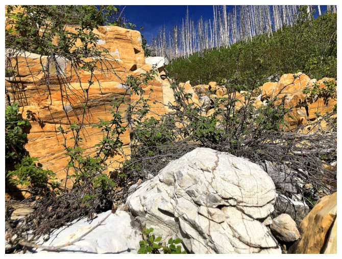
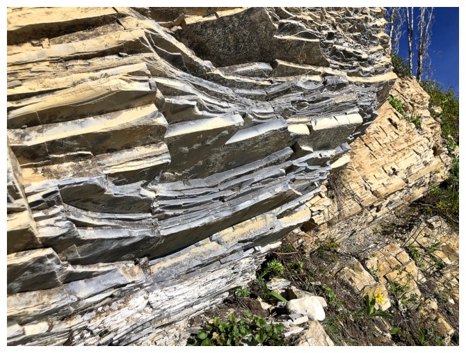
More of that stunning rock
Same as above, with other things
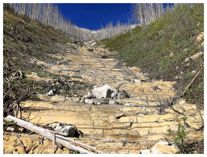
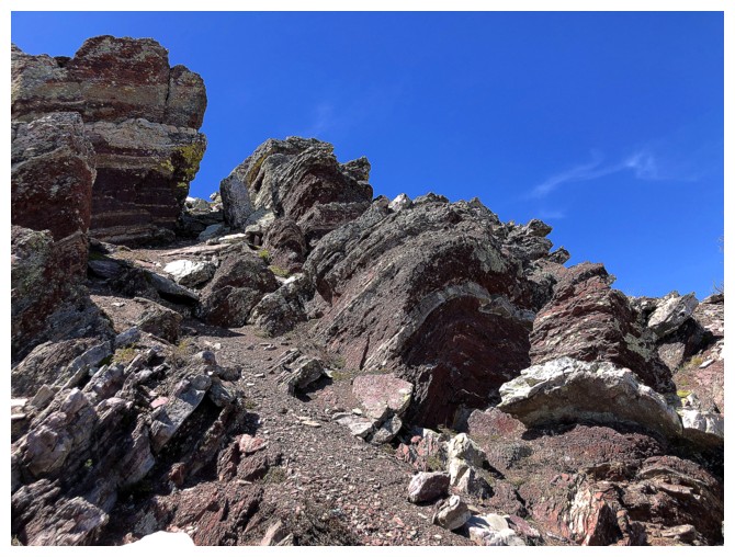
A staircase of terrific rock
Not ascendable, but very cool
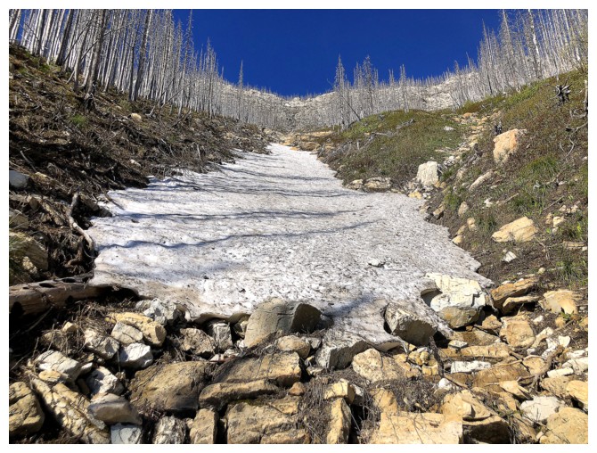
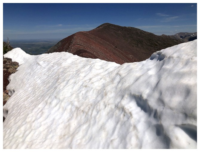
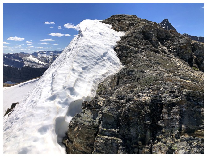
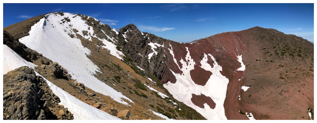
The snow was very pleasant to ascend
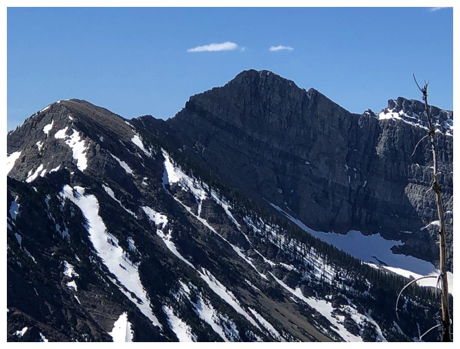
Mount Crandell to the left
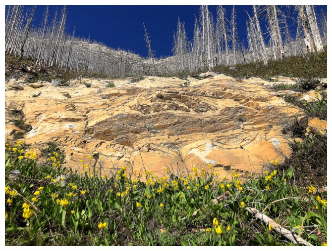
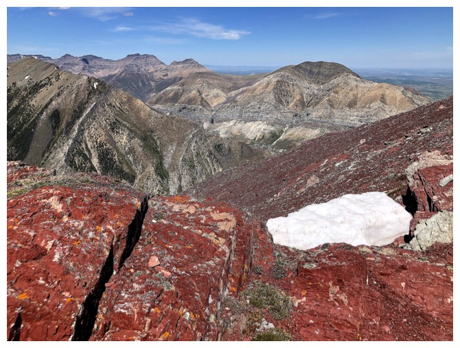
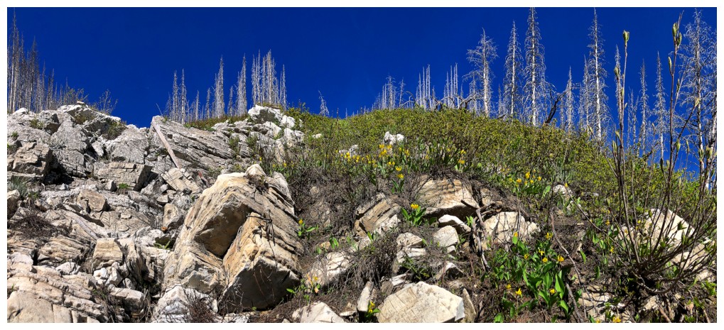
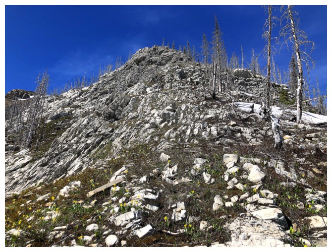
Colourful rock and glacier lilies
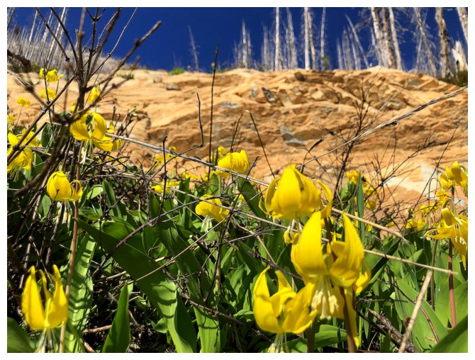
Focus on the lilies
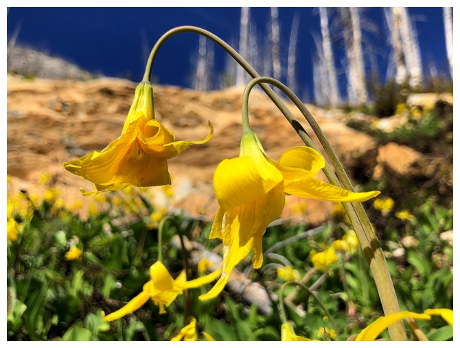
Real focus!
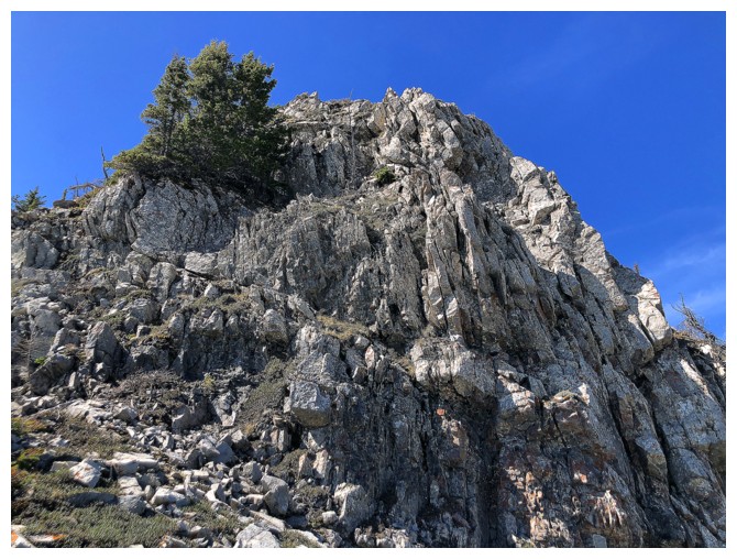
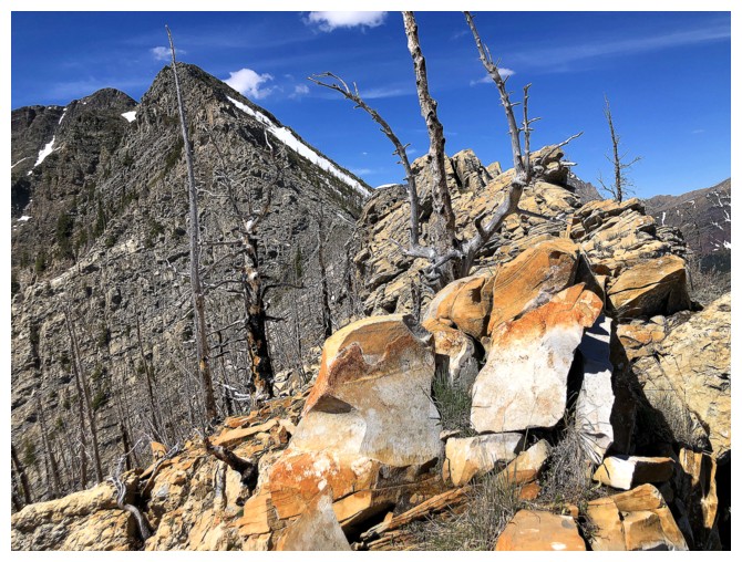
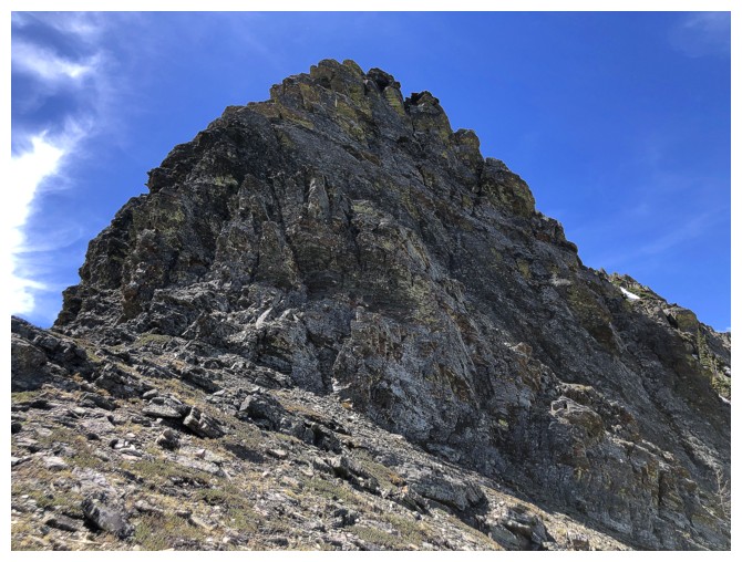
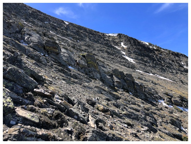
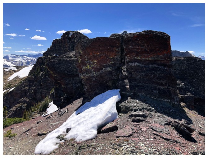
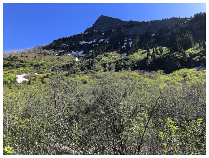
Approaching the rock band that guards the upper slopes. Note also the
red and blue snow pole just right of centre. I assume it's there to
measure snow depths.
At the base of the band
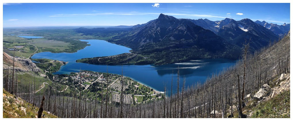
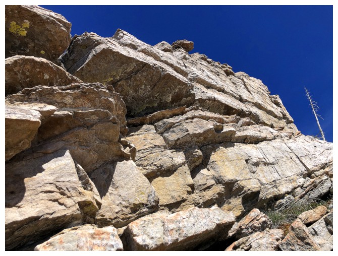
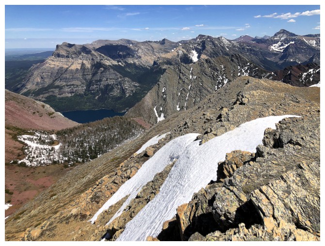
Fantastic views over Waterton continue
On easier terrain to the right, having bailed on a direct route up the rock band
Looking back at the band
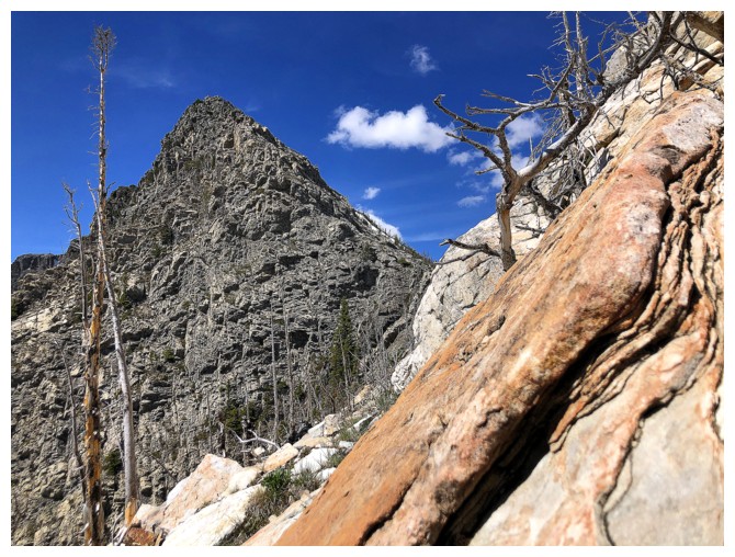
Fun scrambling
Can't forget to look back
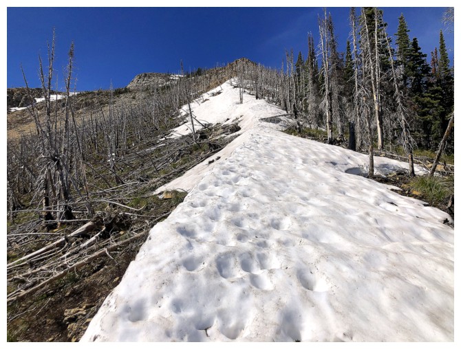
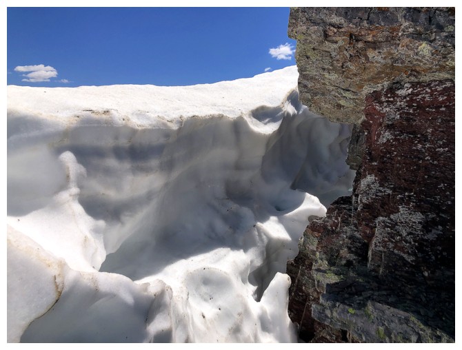
More snow to make travel easier
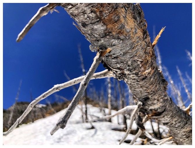
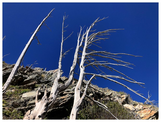
Tree close-up
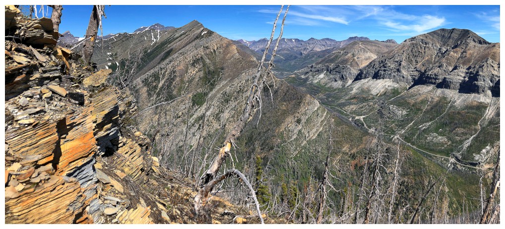
The view to the north is also opening up
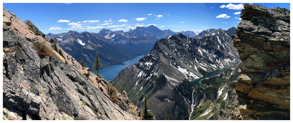
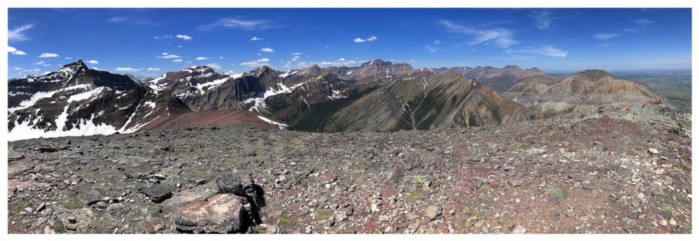
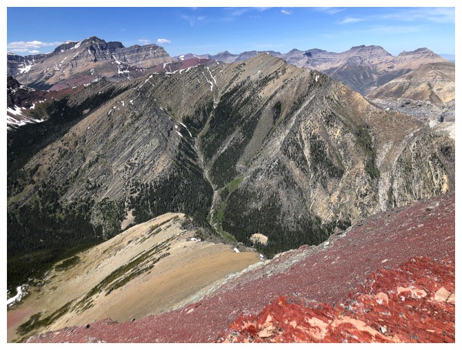
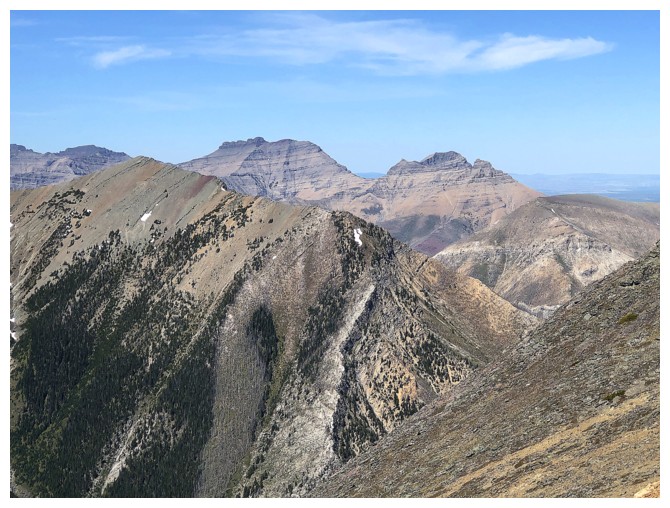
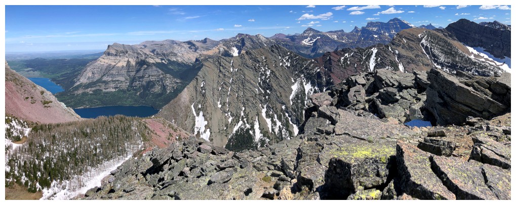
Much of the Buchanan Northeast traverse is now visible. Definitely a
trip I would like to repeat on a clear day (and with someone else who
also has a vehicle!)
More fun scrambling
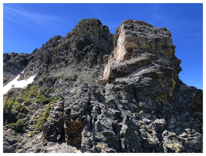
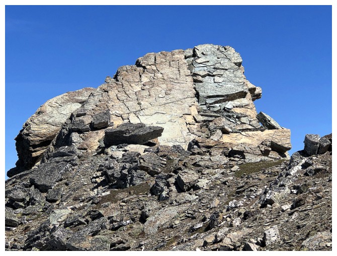
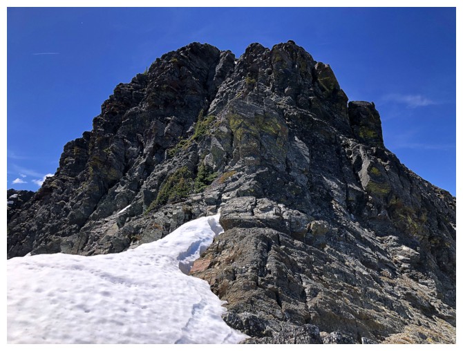
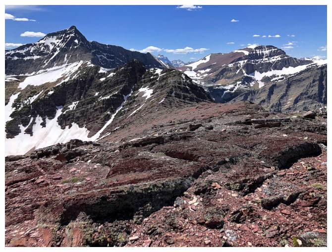
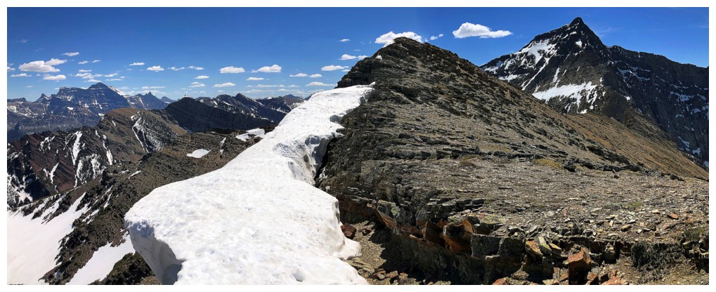
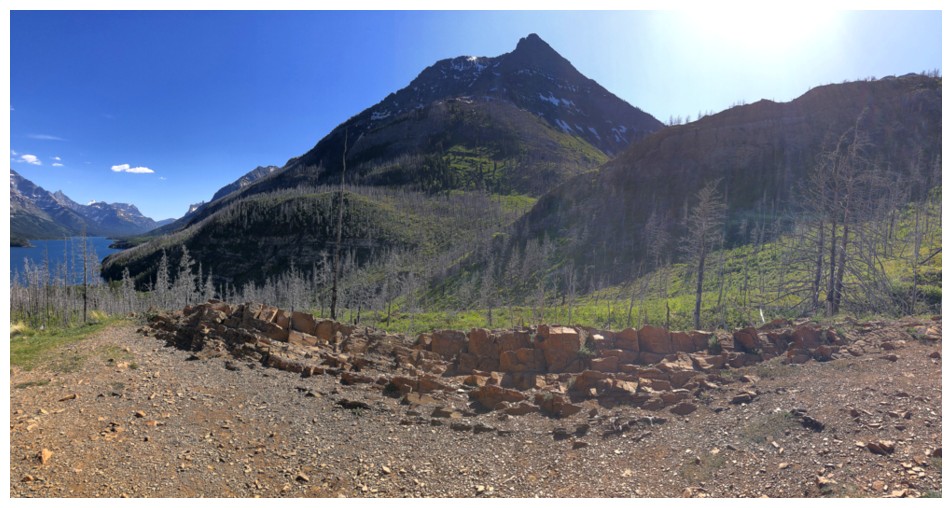
Approaching a significant highpoint along the ridge
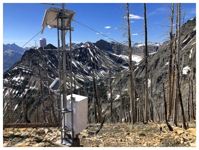
And there's a solar-powered beer fridge nearby! (Unfortunately, there were all out of Moosehead)
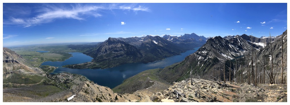
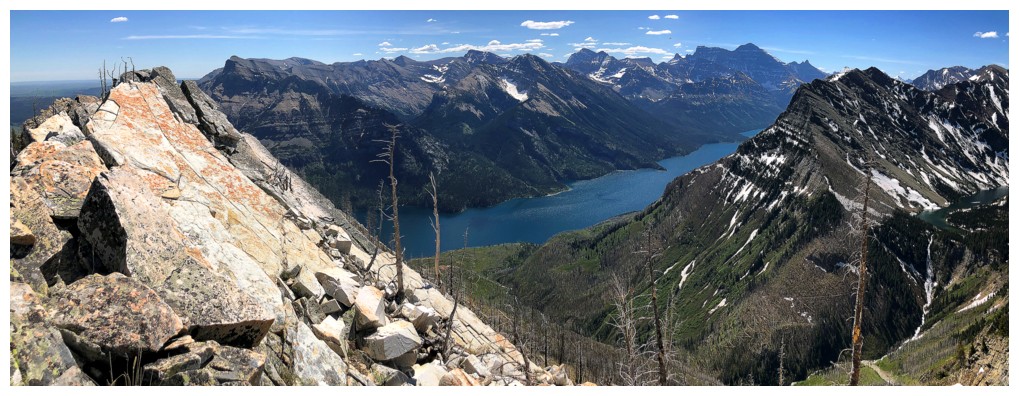
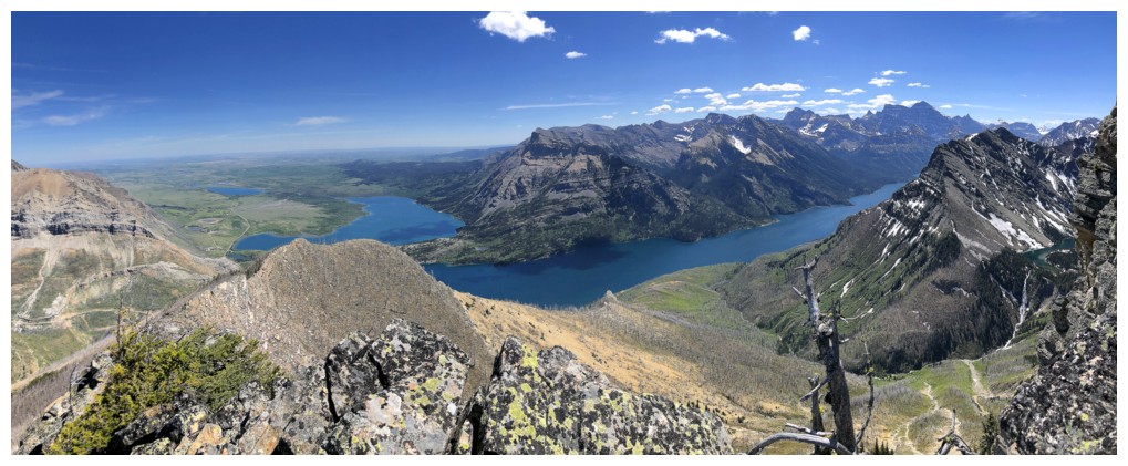
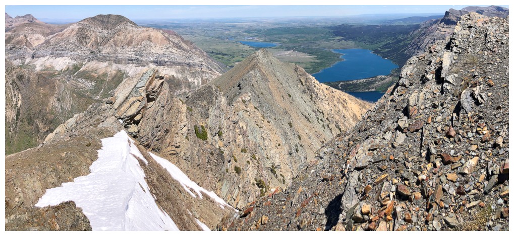
Great view of the Waterton Lakes that would probably be even more spectacular later in the day
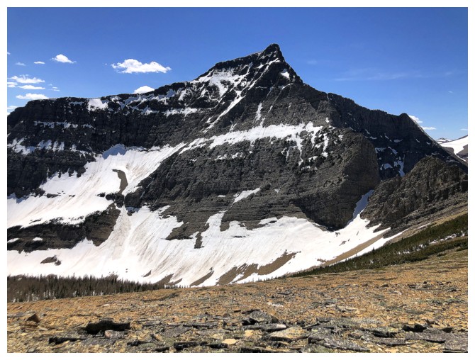
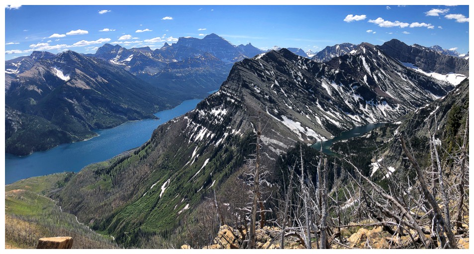
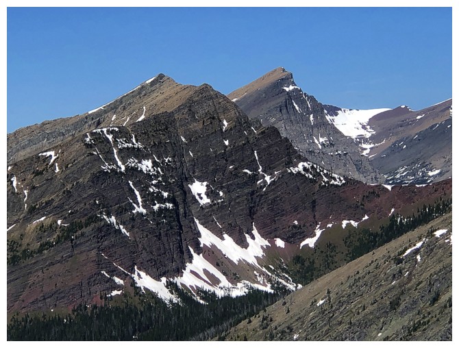
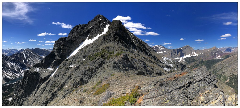
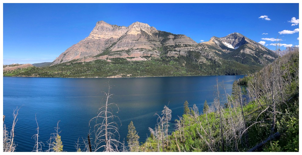
Bertha Peak (centre) doesn't look like a pushover from here and it isn't
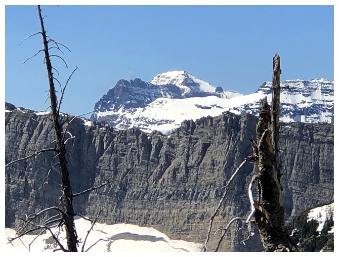
Cool peaks in Glacier National Park
Intriguing route down to the Bertha Lake Trail
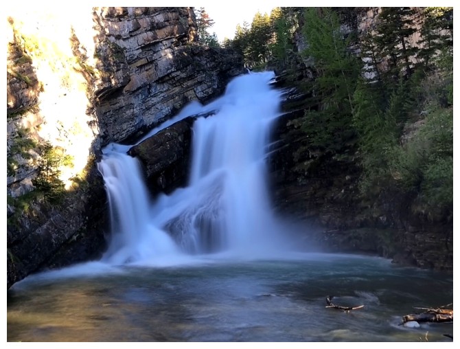
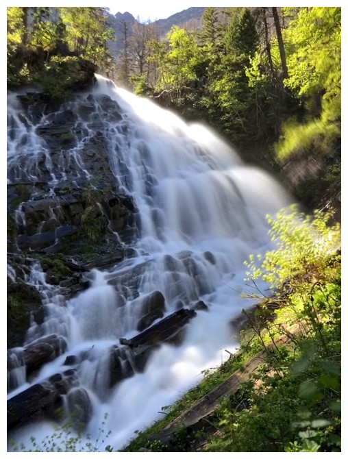
Upper Bertha Falls is as full as I've ever seen it
Another cool GNP peak and the challenging north ridge of Mount Richards in the foreground
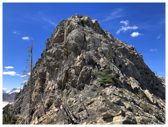
The summit of Richards
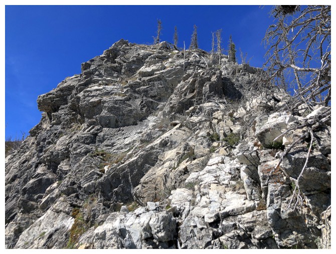
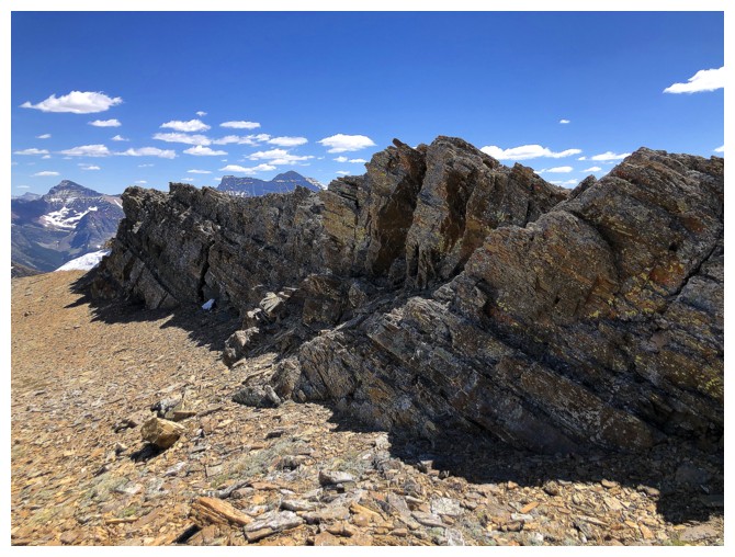
Lots of solid and beautiful rock at this highpoint
Ready to move on
Or not!
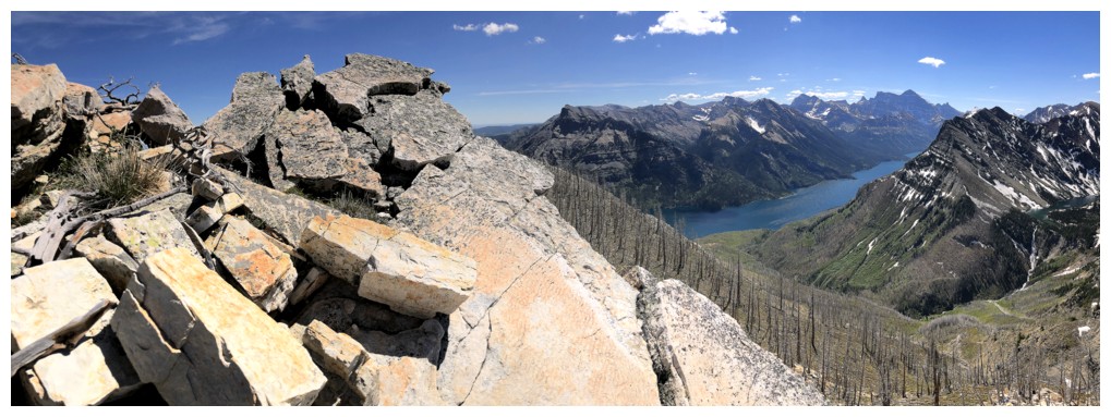
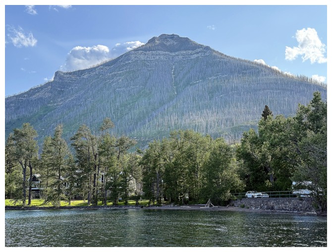
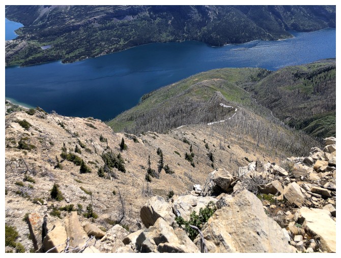
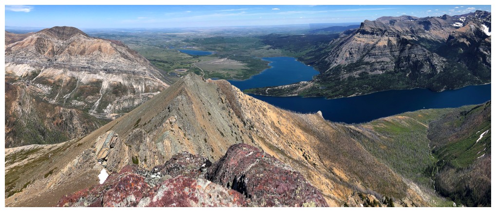
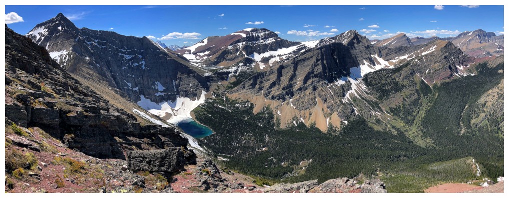
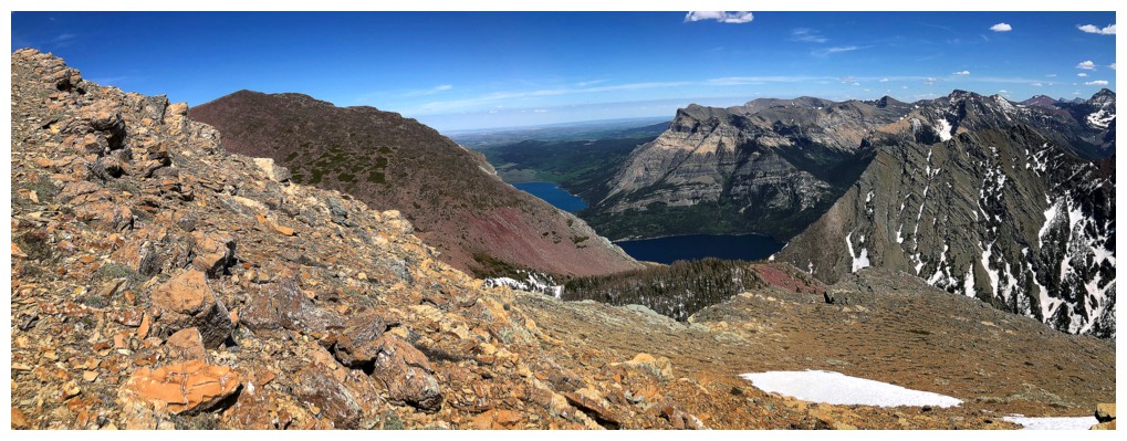
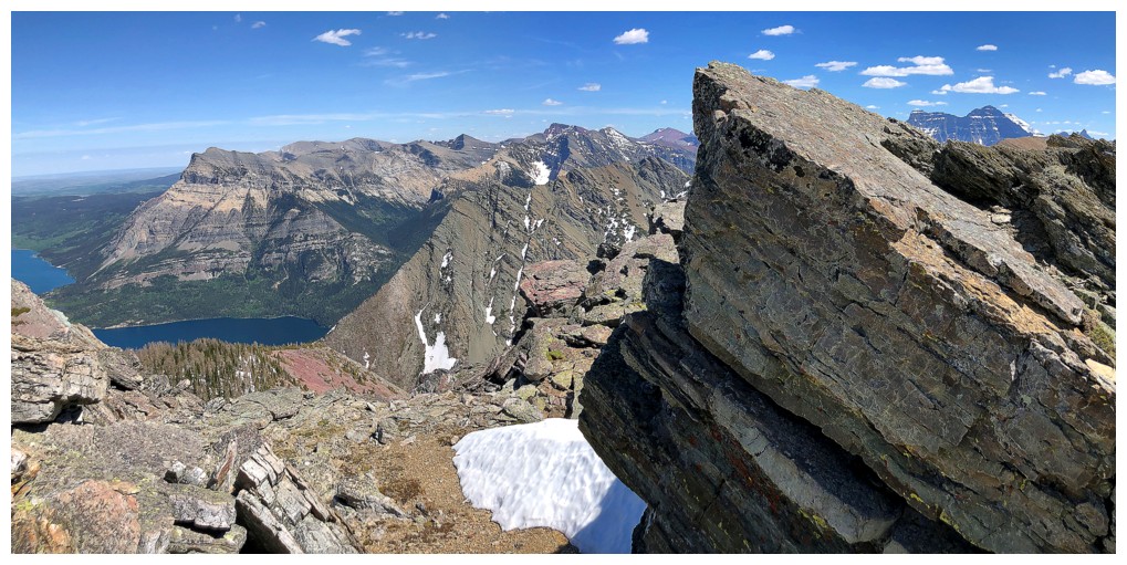
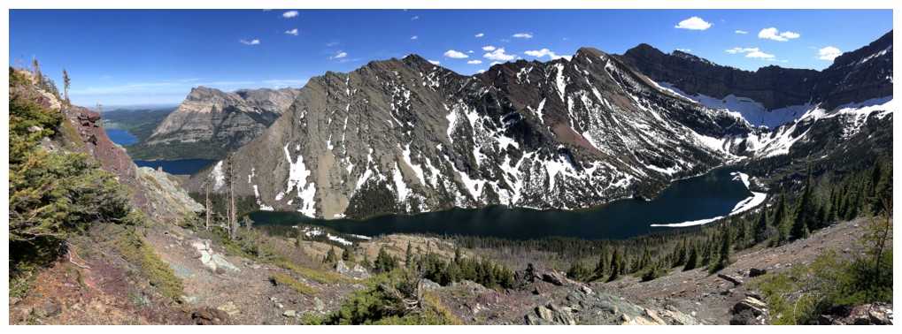
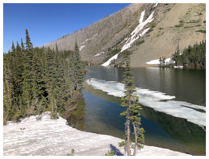
Most of Bertha Lake is now visible at the right
Not going to scramble up that
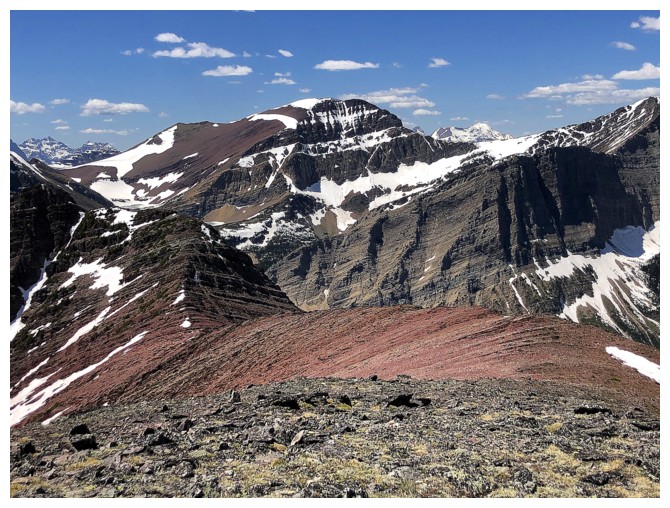
Traversing around the obstacle to see Buchanan Peak, The Senator, and Mount Lineham
Close-up of The Senator and Lineham
Can't forget about the views behind
Or to the south
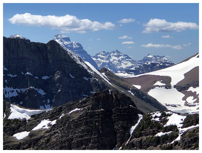
Making up for our hazy views in 2020 by overdoing it in 2025
Same as above
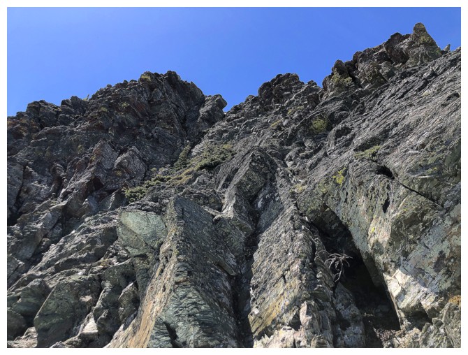
Back on the ridge and facing more challenging terrain
I remember seeing this in 2020 but didn't take the time to REALLY enjoy it
Making up for that shortcoming too!
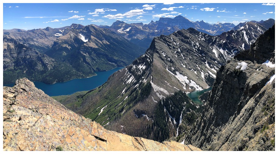
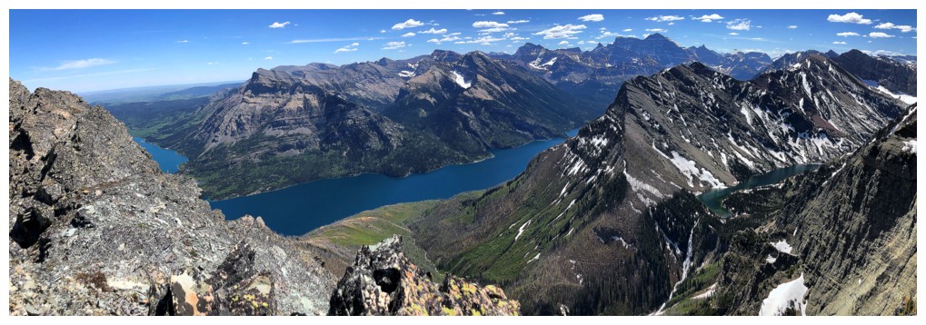
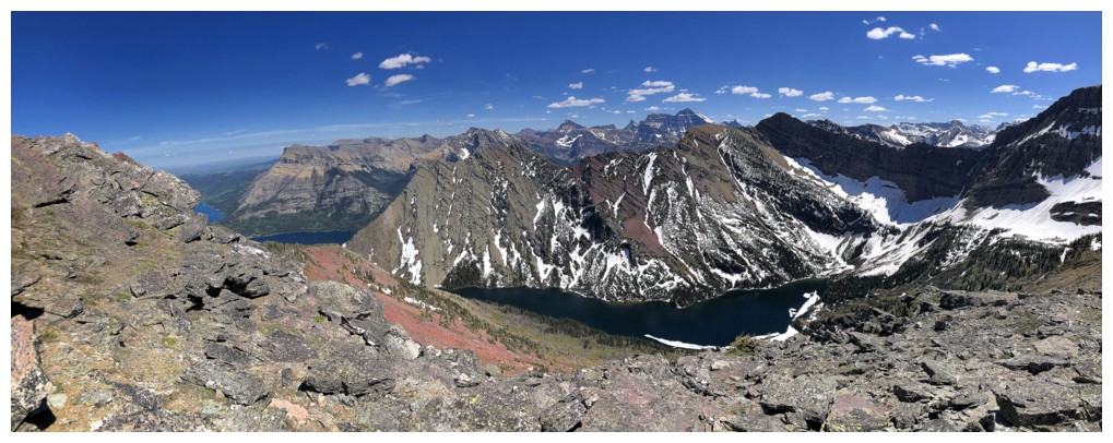
The lakes are disappearing, but the overall view is still stunning
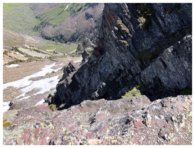
Bypassing this obstacle of the left side
The left side
Another section beyond the realm of scrambling
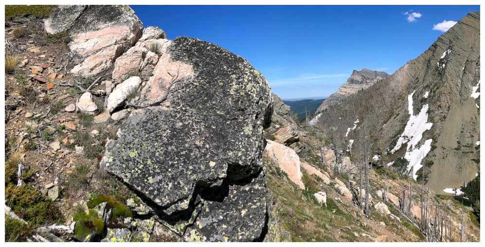
Long overdue lichen shot and the view to the northeast
The bypass here is a long and grueling one
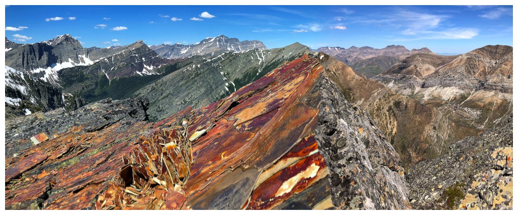
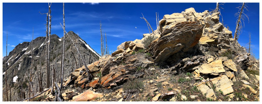
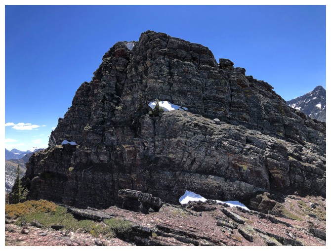
An impressive outcrop on the ridge above
Back on the ridge
Same as above
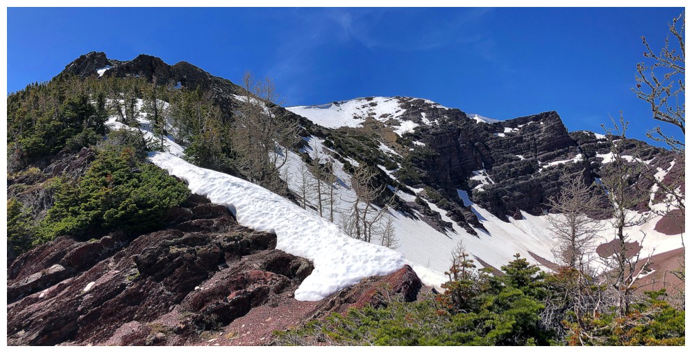
The final section looks very tricky, but Dave found a cool route up the left side in 2020.
Up I go
Looking down the route - not a good place to slip!
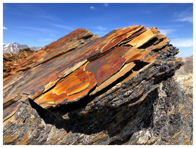
Red rock and a cool view at the top of the gully
At Bertha Peak's summit for the sixth time
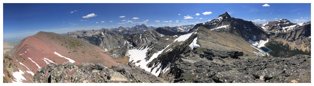
Mount Carthew
A few of the more impressive Glacier National Park peaks make an appearance
Mount Alderson (left)
Too many mountains to the north to name, but the highest (Mount Blakiston) sits proudly at the left
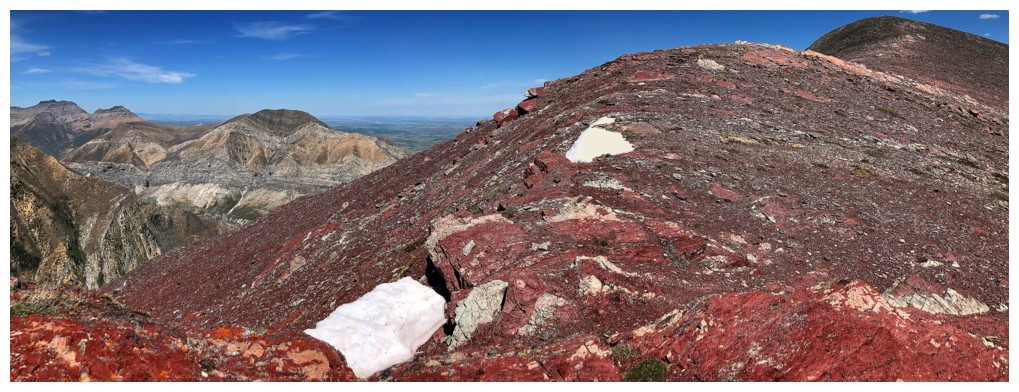
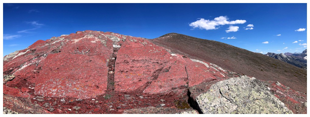
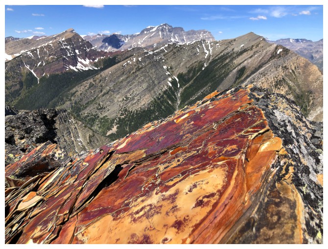
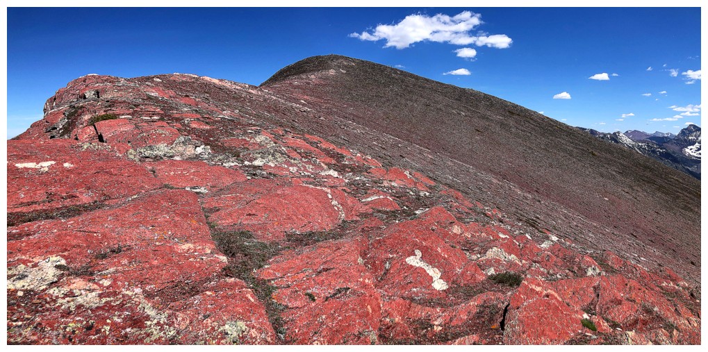
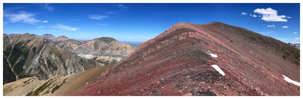
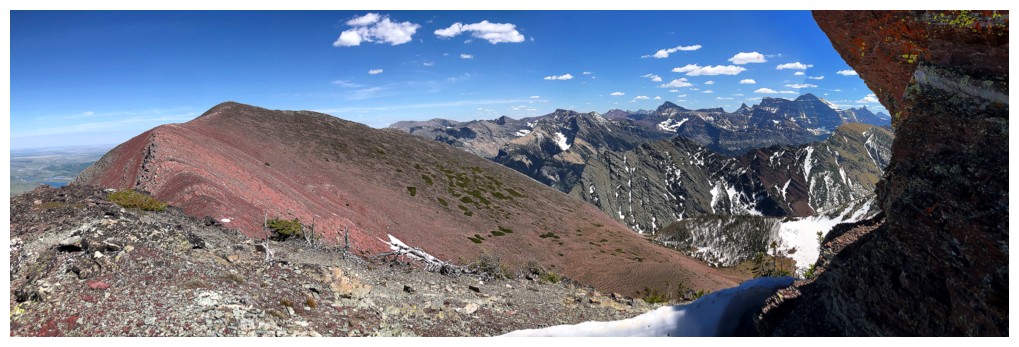
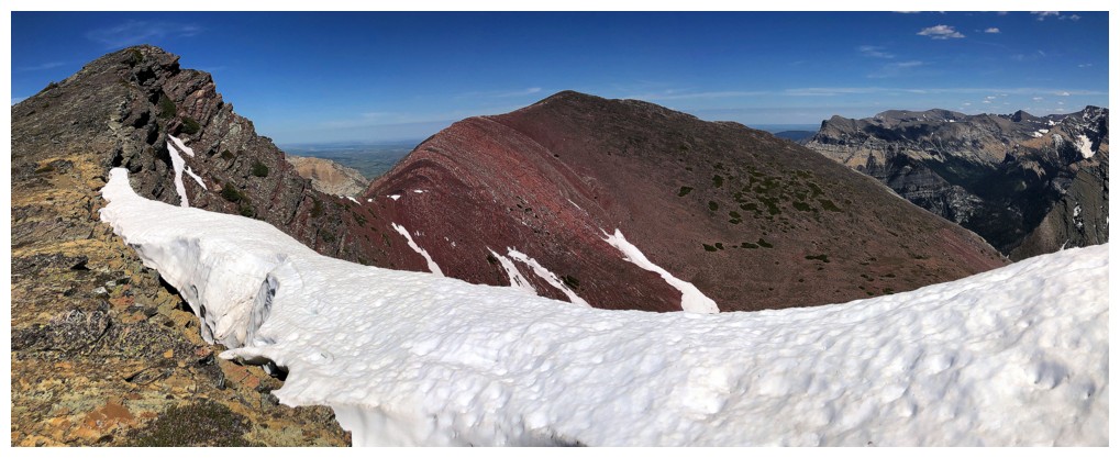
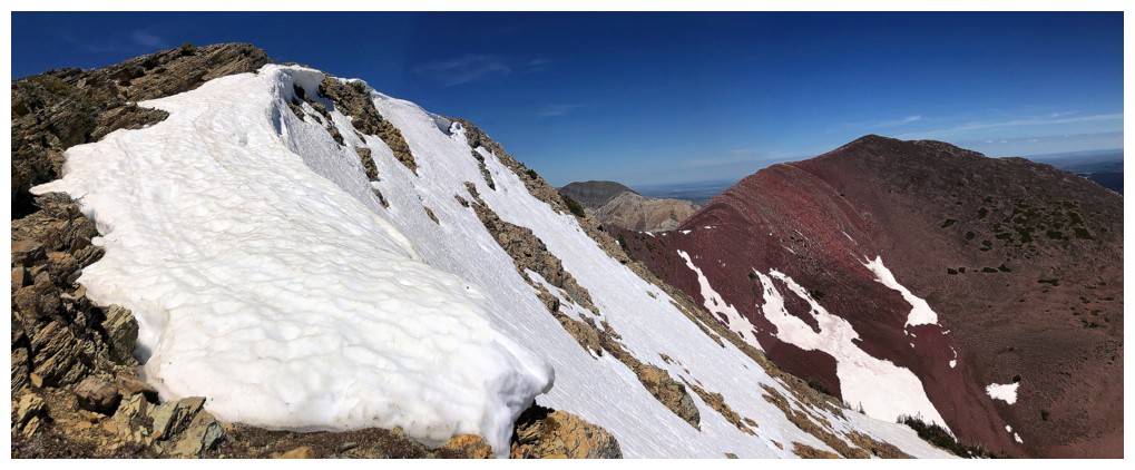
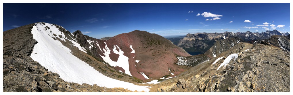
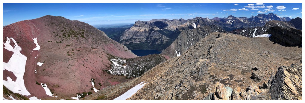
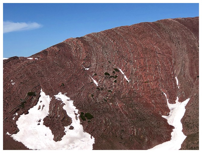
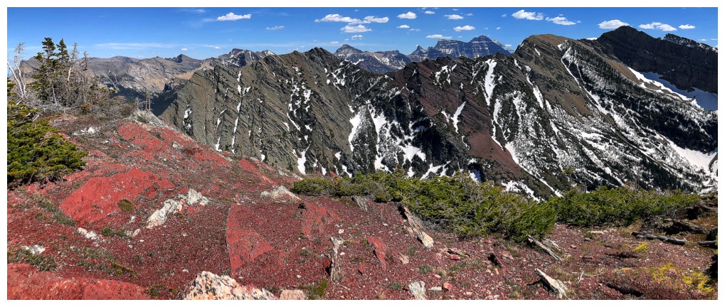
Heading over to Bertha Minor. This unreal section of bright red argillite never loses its cache!
Same as above, with Carthew, Buchanan, Lineham, and Blakiston in the background
I briefly considered descending this route to the north that would
intercept the Alderson Lake trail, but decided I couldn't pass up a
third visit to Bertha Minor
The route ahead and Alderson
Mount Cleveland in the distance
The red rock behind
The red rock and summit ahead
Same as above
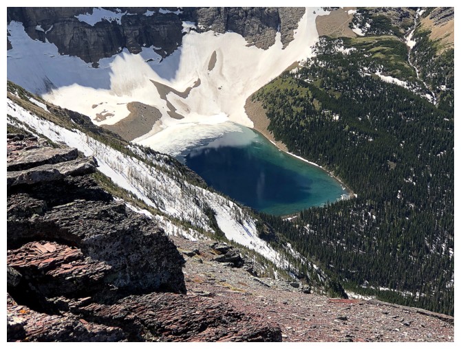
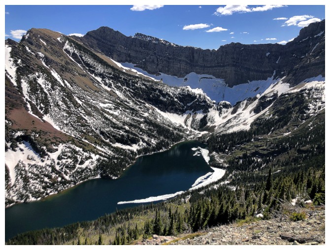
Alderson Lake
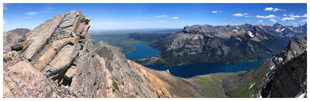
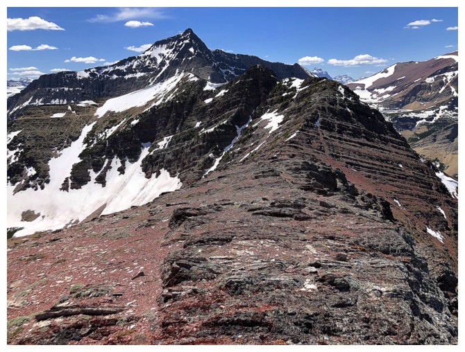
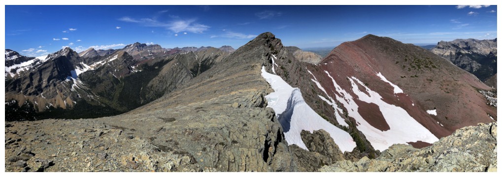
Looking back to Bertha Peak...
...and others
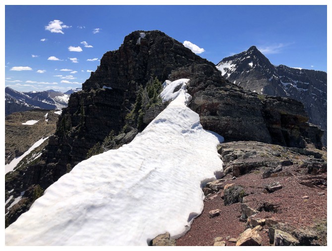
Another snow encounter just before the summit is a good thing
One of my favourite views in Waterton
The summit is reached easily around the right side
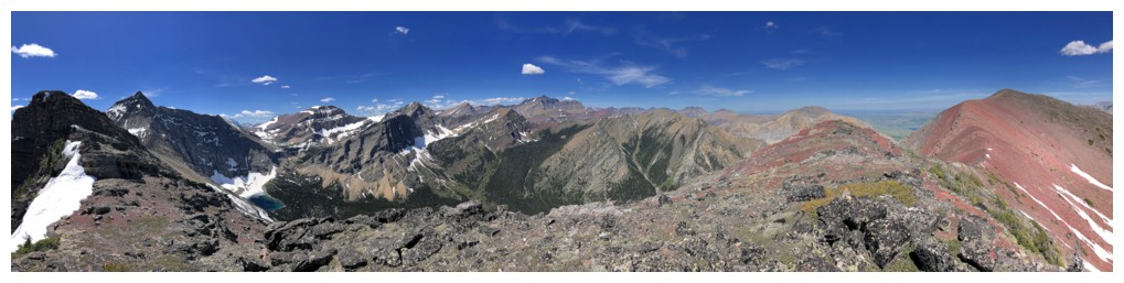
View from the first summit
Heading to the second
The view back to Bertha and the first summit is always so eye-catching
Same as above
And again
Approaching the second

At the second
Dungarvan (just left of centre), with Galwey North, Rogan, and Galwey all huddled together to the right
Descending
Limited captions from hereon in, but this is a beautiful and relatively easy descent route - highly recommended
Cool view of Alderson
Parts of the Waterton Lakes reappear
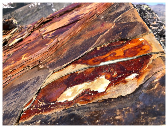
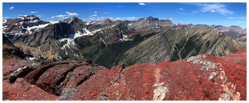
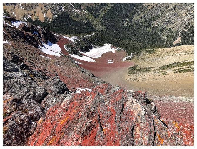
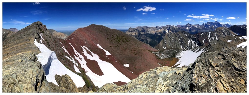
That amazing section of red argillite between Peak and Minor
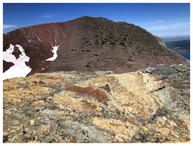
Bertha Peak
Same as above
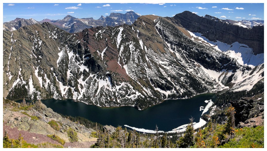
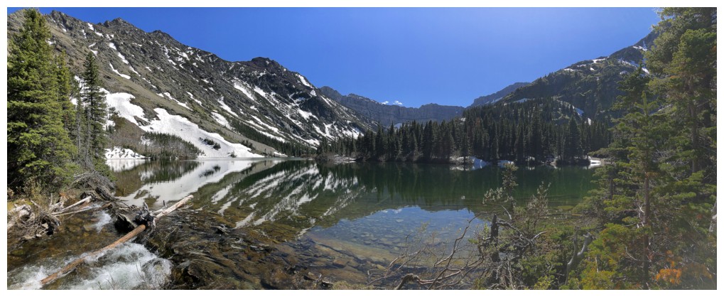
Almost all of Bertha Lake
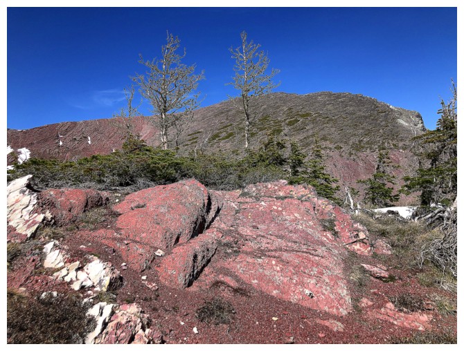
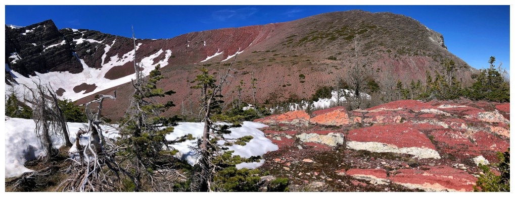
The argillite magic continues
Down to Bertha Lake
Unusual to see a lake reflection late in the day
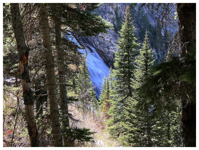
Glimpse of Upper Bertha Falls
Some of the route I ascended
The north end of Mount Richards
Lower Bertha Falls
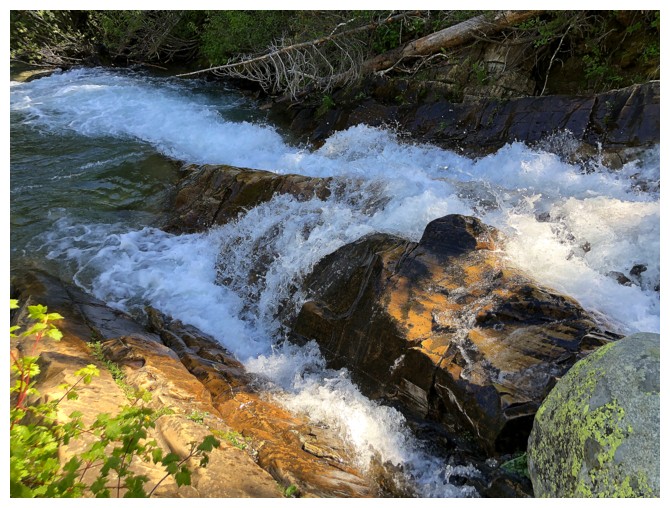
Bertha Creek
The classic view of Vimy, Boswell, and Cleveland from the Bertha Lake trail

Same as above
Richards again
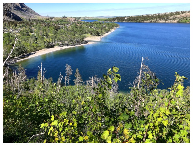
The lakeshore near the end of the trail
Last look at Vimy and Boswell
And the obligatory shot of Cameron Falls at the END of the day!
The End
LOG