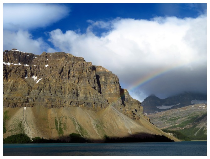
A rainbow appears over Bow Lake
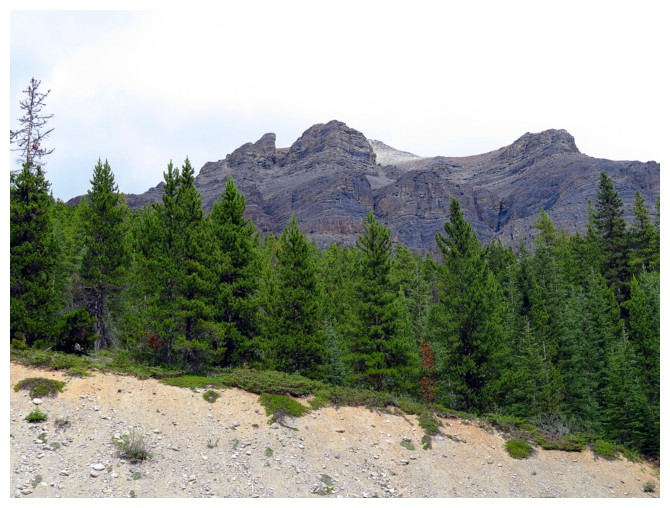
Bison Peak, as seen from the road
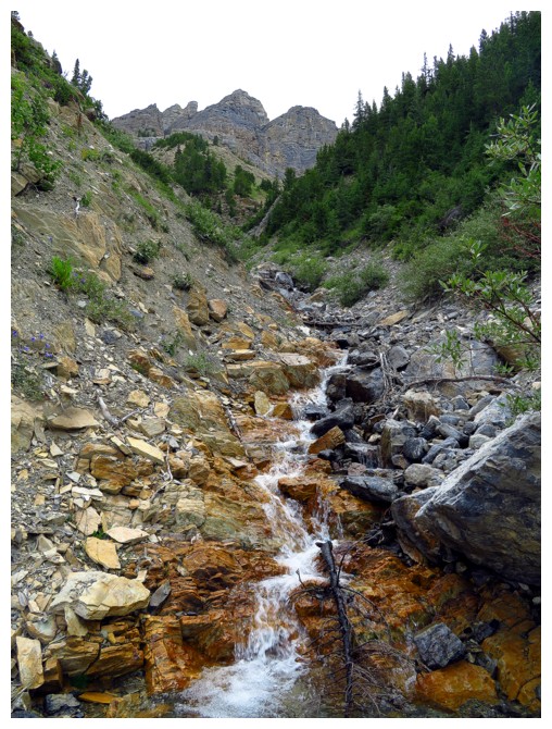
Enjoyable travel up the creek
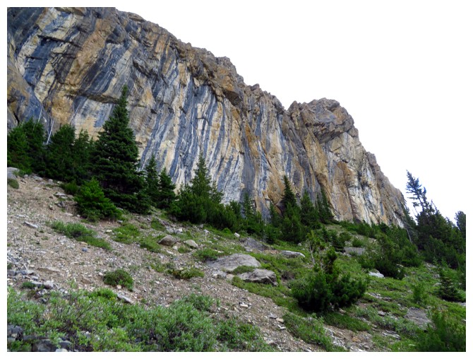
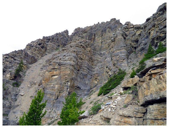
The route is blocked several times by vertical cliffbands, but there is always a weakness through them
More steep terrain. Thankfully the actual route is at a far more subdued angle
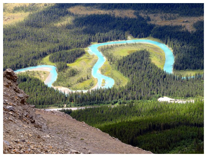
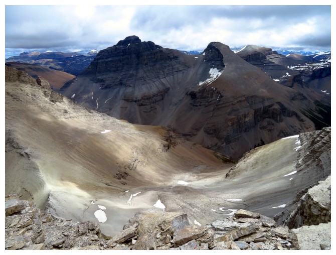
The Mistaya River meanders through the valley below
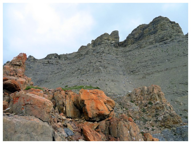
The steep, loose gully goes between the rock features above
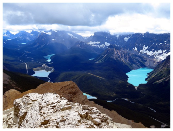
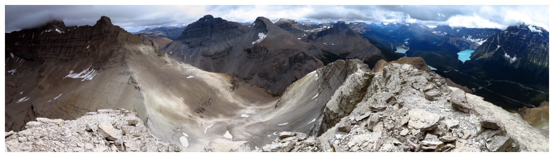
Lakes galore! Big or small sections of Chephren, Cirque, Waterfowl, Mistaya, Peyto and Bow lakes are all visible
Totem Tower (left), Spreading Peak (right)
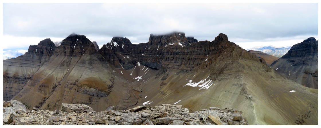
A partial summit view. Too bad about the cloud cover. See Vern's report for a better representation
The complex array of Mount Murchison's multiple towers