Blakiston drainage North
May 21, 2022
Elevation gain: 590 m
Round-trip
time: 4.5 hours
Solo scramble and
snowshoe.
A dismal weather
forecast is always a good excuse to explore new terrain, without the summit of
anything as a goal. On this cloudy day I chose a drainage on the north side of
Mount Blakiston. The drainage did lead to a significant peak northeast of
Blakiston’s summit, however, I had no delusion of being able to ascend over 1200
metres of elevation with all the snow presently residing on the peak.
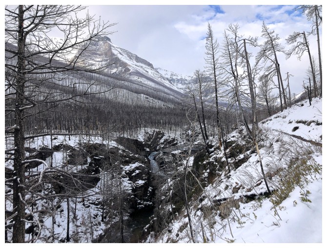
After hiking
about a kilometre past Blakiston Falls, I forded Blakiston Creek, and started
up the drainage. Right off the bat I was pleasantly surprised to encounter
multiple cascades of water, running down red argillite rock. Three minutes up
the drainage and the trip moved onto my “Repeat with perfect weather” list! Some
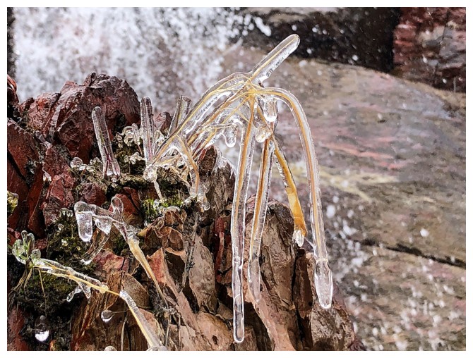
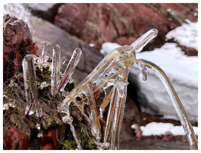
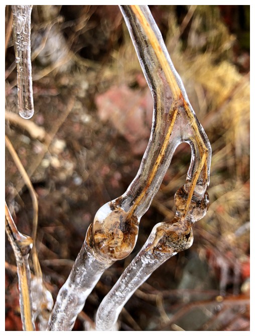
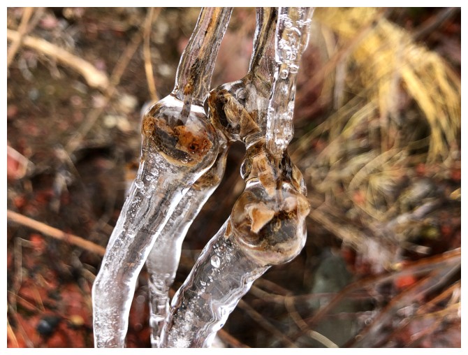
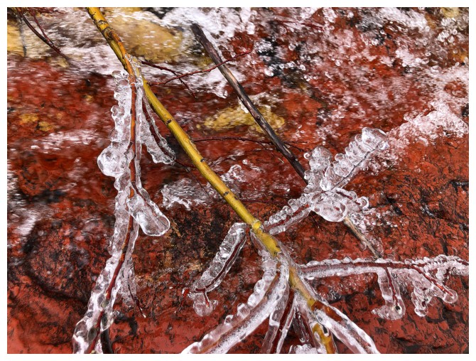
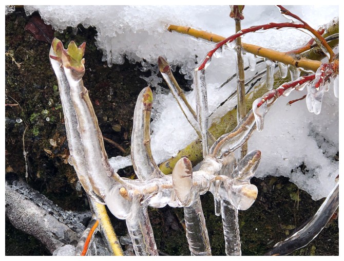
foliage encased in ice also provided scenic interest and a few photos ops.
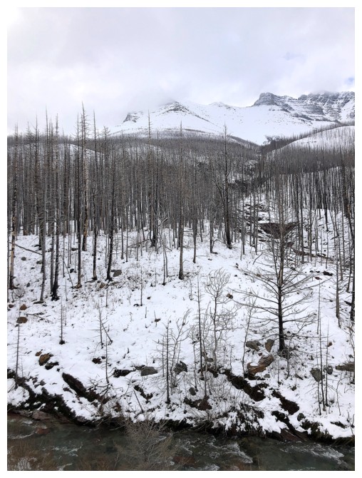
Eventually, the
rock scenery gave way to snow scenery - on with the snowshoes. I was able to
ascend a decent portion of the peak, but the summit of that highpoint would have
made for an epically long day on increasingly dangerous terrain – no thanks; time to retreat.
A surprisingly good day out and I
will return with clearer skies and less snow.
Approaching Blakiston Falls
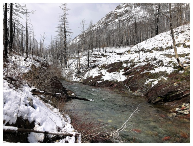
Time to ford Blakiston Creek
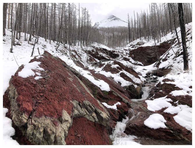
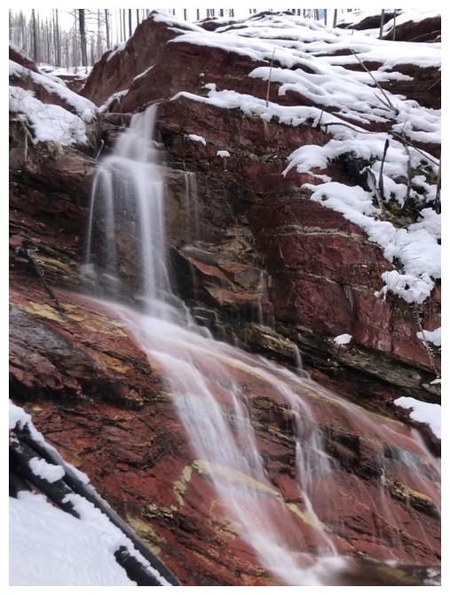
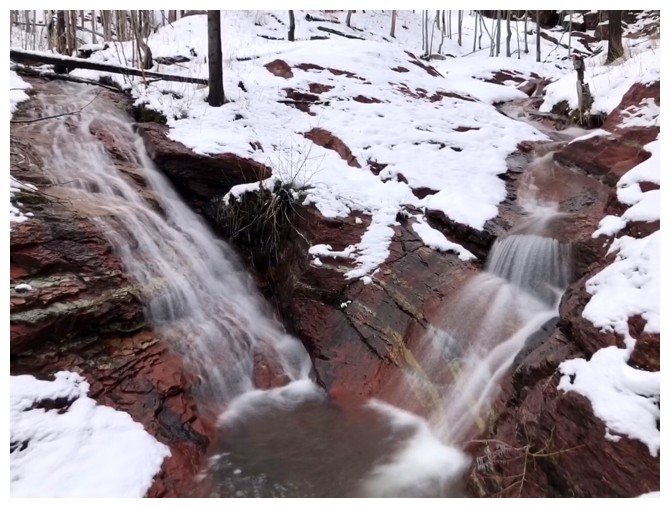
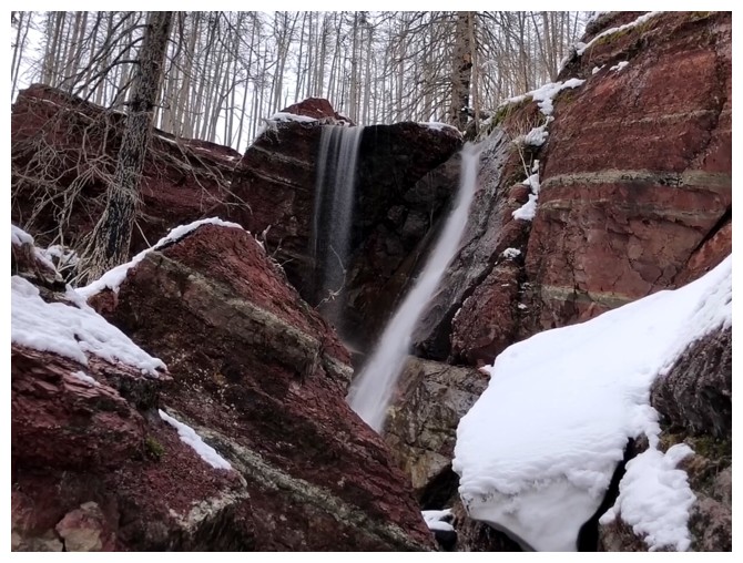
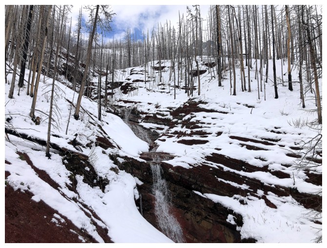
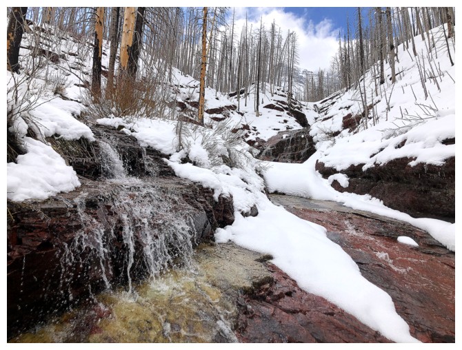
The drainage is red argillite magic right from the start
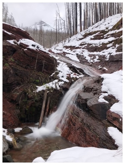
It is also cascades and waterfalls throughout
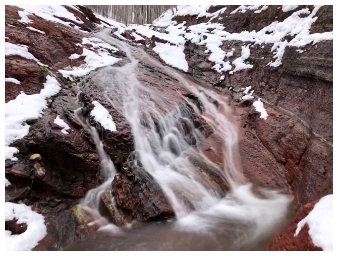
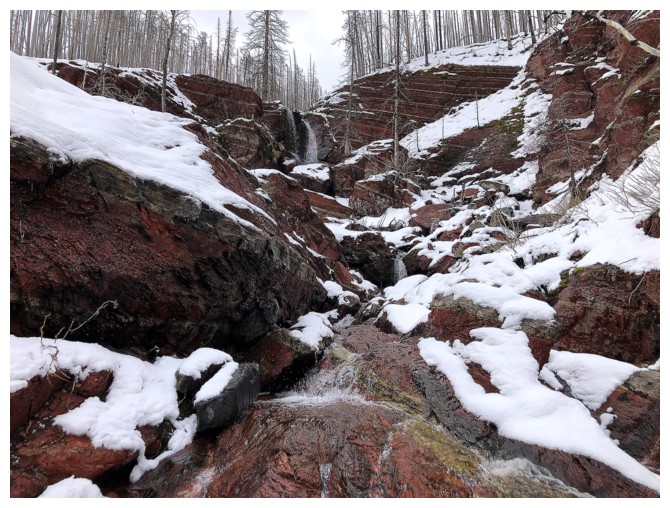
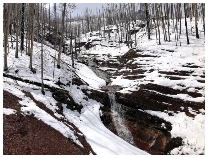
Approaching a very scenic waterfall
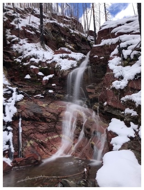
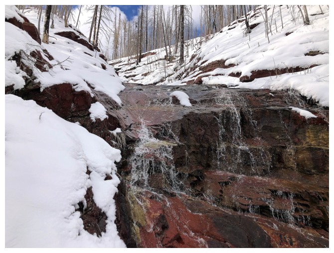
Direct Sun and blue sky would definitely enhance the red rock
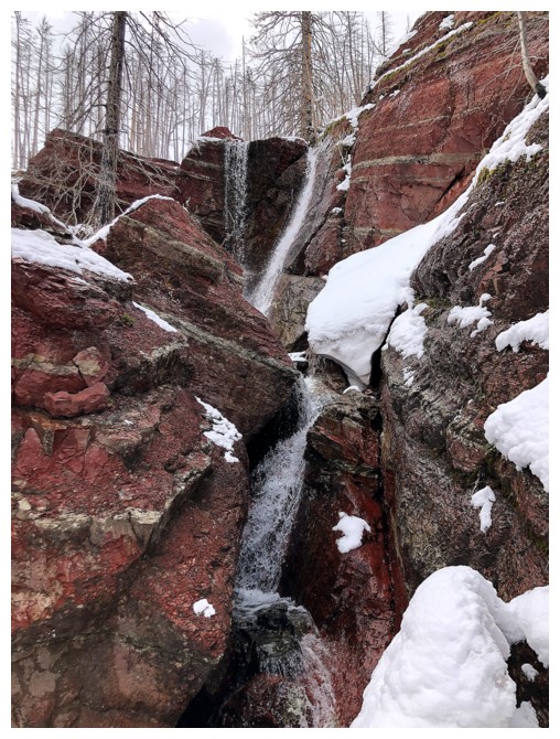
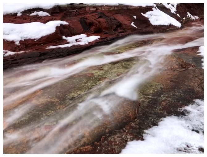
Closing in
Same as above
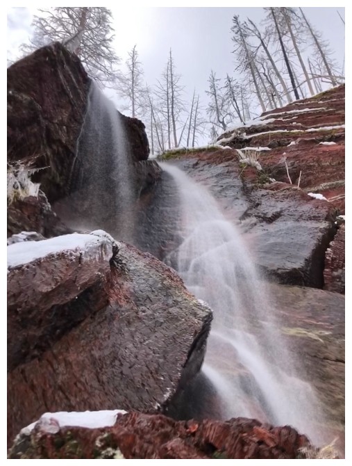
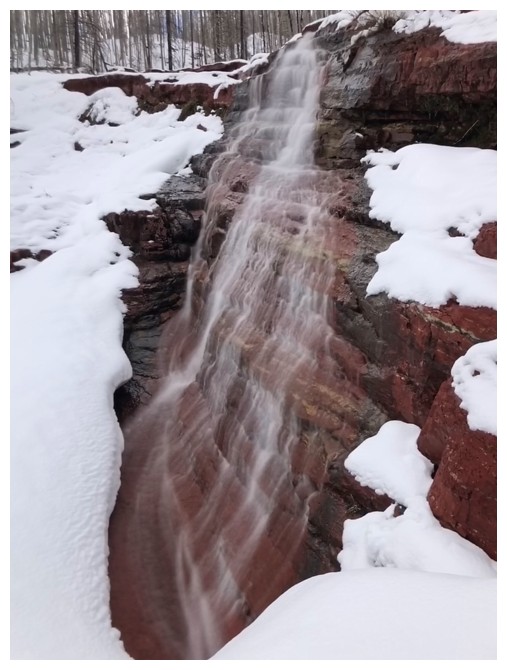
The waterfall
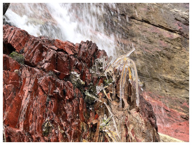
Distracted by some ice-encased foliage
Close-up
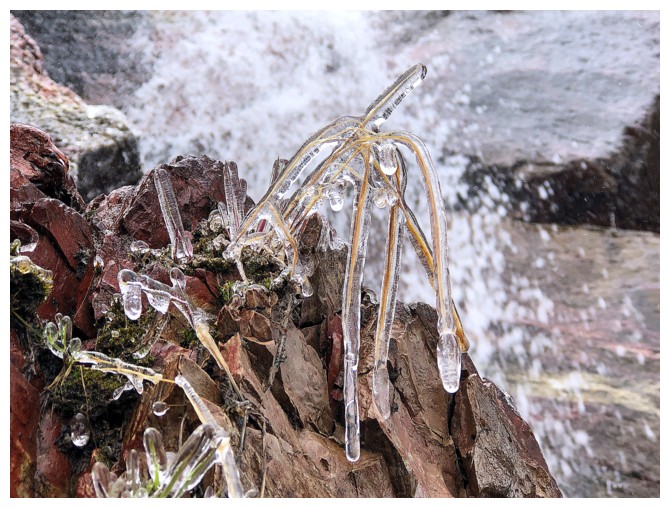
Even closer
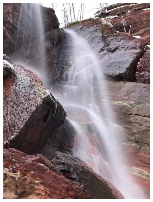
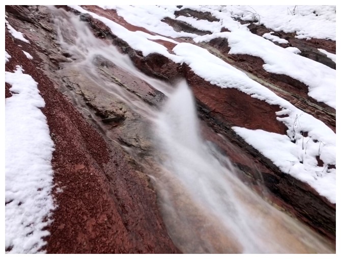
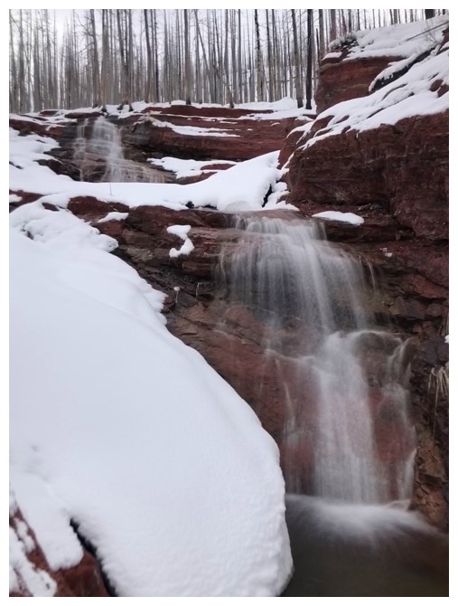
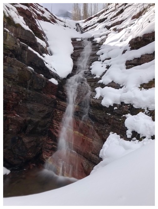
Back to the waterfall
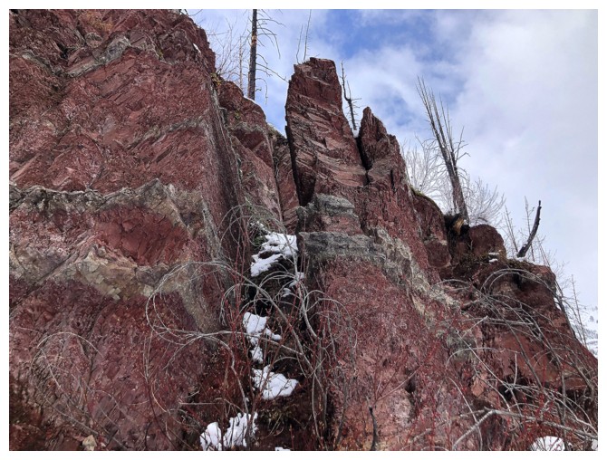
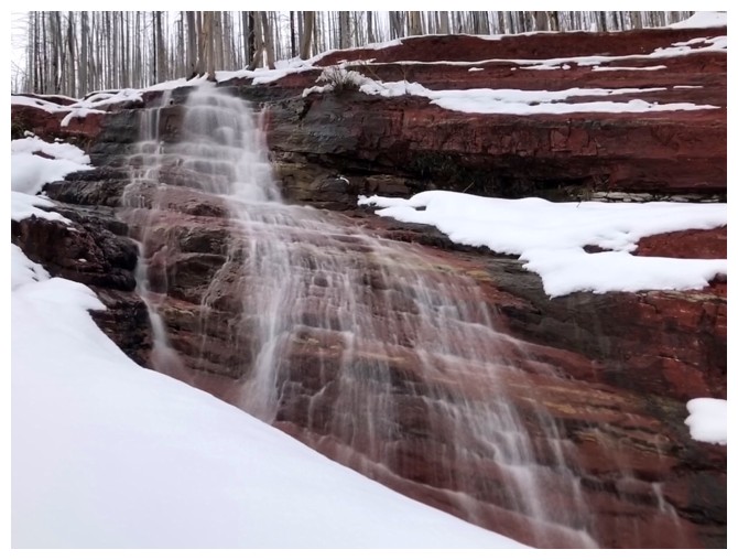
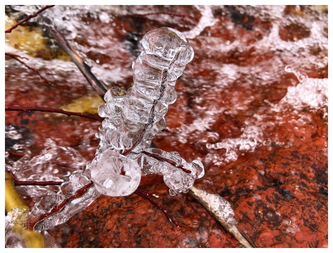
This one reminded me of something from the movies Aliens or The Thing
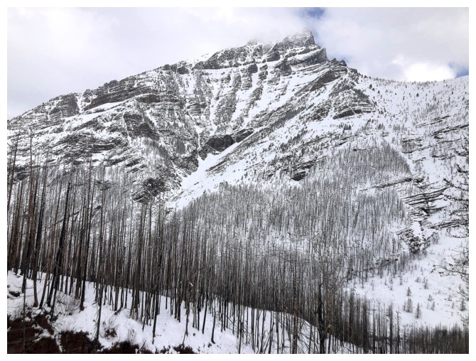
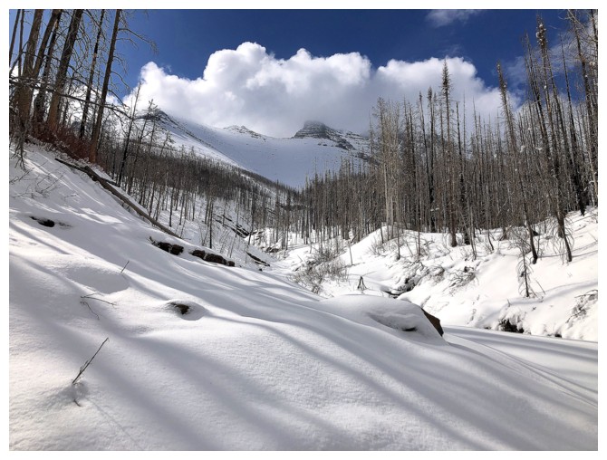
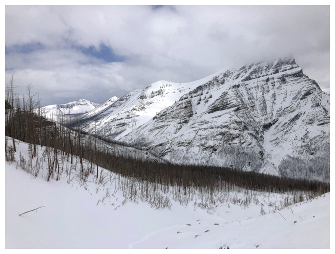
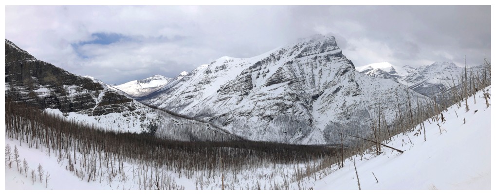
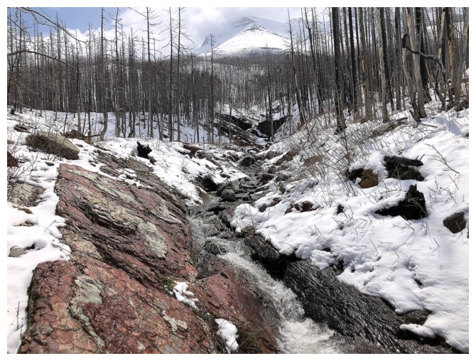
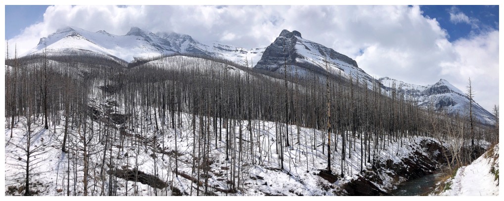
Looking across the valley to Anderson Peak's east summit
At times, staying in the drainage was not possible
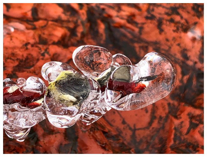
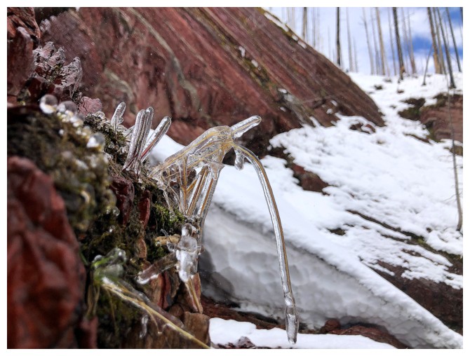
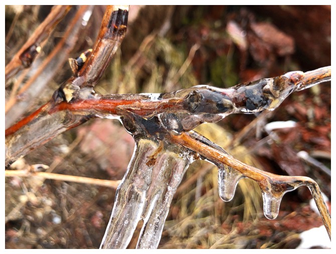
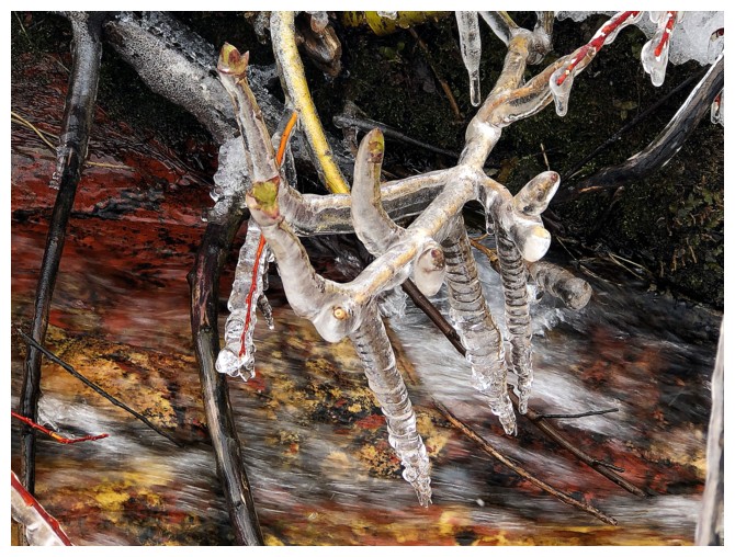
More ice-encased stuff
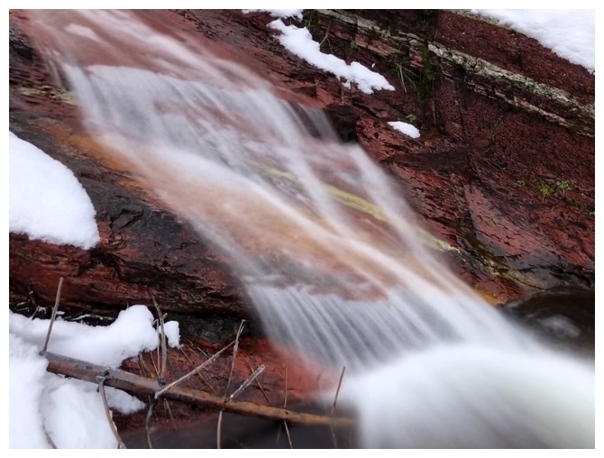
This one was especially cool with the red argillite behind it
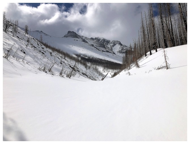
Snowshoe time
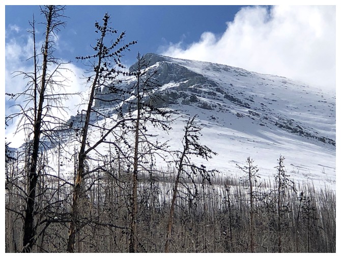
Close-up of the northeast highpoint of Mount Blakiston
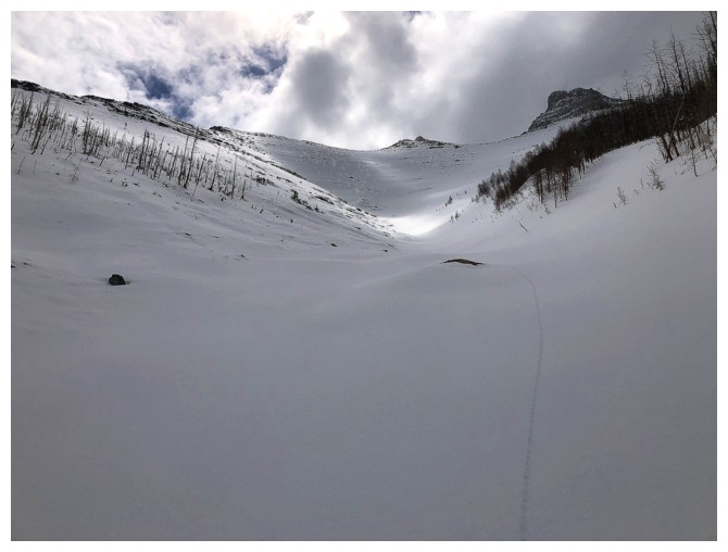
Anderson again and my snowshoe track
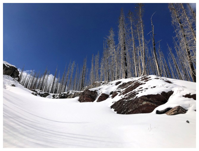
The bluest sky of the day. Unfortunately it wouldn't last.
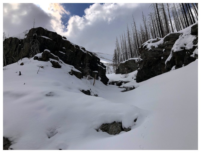
Good path between these rock outcrops
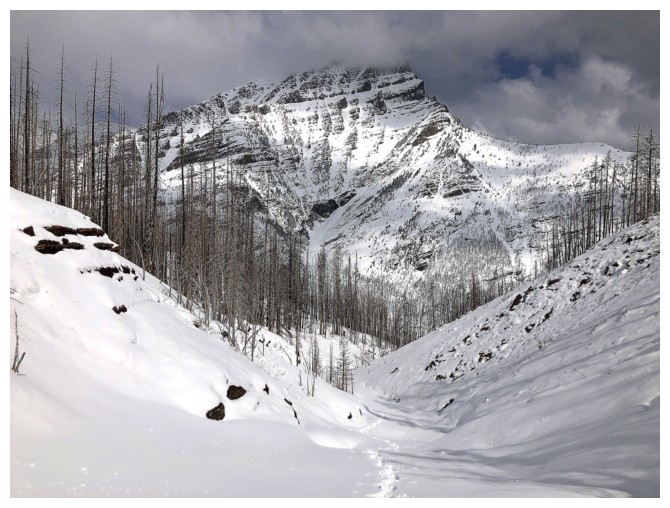
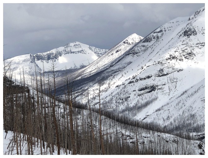
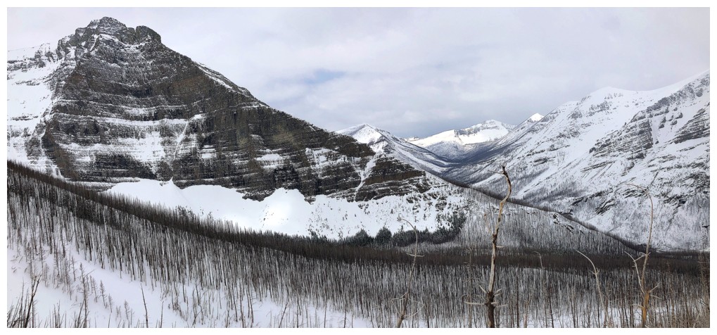
The distant summit block of Blakiston
Definitely still winter at this elevation
Lost Mountain, Mount Bauerman, and Kishenina Peak join the view
Close-up
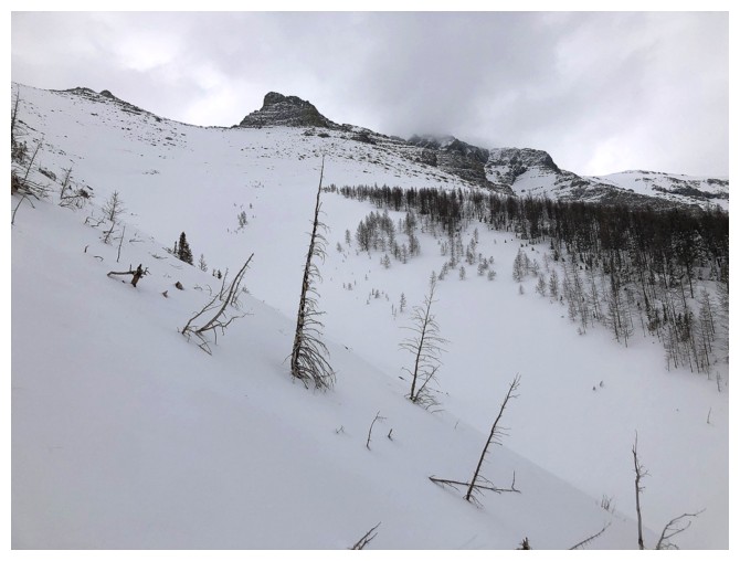
About as high as I made it
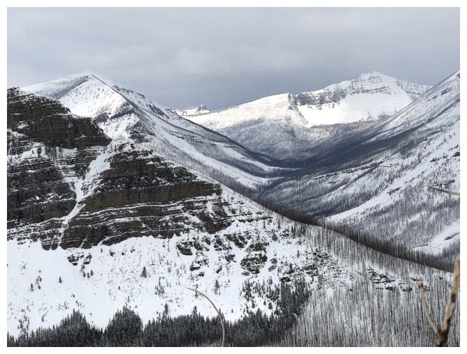
View to the north
View to the west
Lone Mountain at the left
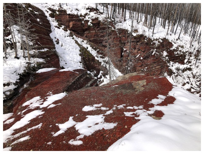
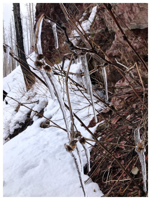
Round 2 of red argillite magic on descent
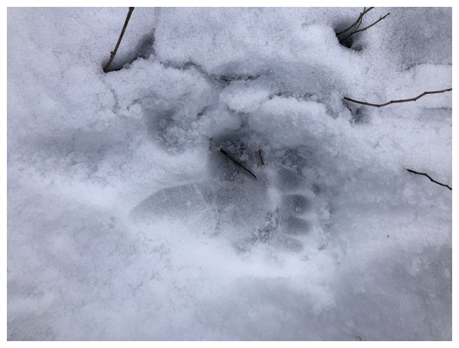
One advantage of the snow is that it makes spotting bear prints very easy
Back near the beginning of the drainage
Ready to recross Blakiston Creek
Back on the other side, with a parting look at the route and Mount Blakiston
The End
LOG