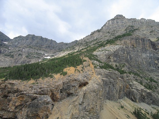
Mountain height:
2439
m
Elevation gain:
1200
m
Ascent time:
4:30
Descent time:
2:55
Scrambling with Mark.
Looking at the distance of
the trip on a map, we conjectured
that with a good hiking pace and no bushwhacking or creek crossing
concerns, we
would at least be able to get close to the summit. The weather forecast
was
next to perfect for the area and so we hopped on the 9 am boat,
arriving at
Crypt landing 15 minutes later.
Initially, we picked the quickest possible route
to the
summit via the north ridge, but I brought along Chris Goble’s
east face route
description just in case that didn’t pan out. It
didn’t – the intended route
would require some a fair amount of bushwhacking that could be
completely
avoided by using Mr. Goble’s route. Therefore, we continued
along Crypt Lake
Trail with about 25 other people until just past
The crux of the trip followed: getting to the ascent slope. This required a fearsome bushwhack through thick alders and a small, but chilly stream crossing. Once across, the remainder of the ascent was enjoyable and surprisingly easy – a moderate scramble at most.
Unfortunately, the weather
sucked! The cloud ceiling was
well above the tallest mountain in the area (
Even at a relatively slow pace, the ascent had only taken 4.5 hours and time was not really a concern. We left the summit at 2:30 (perhaps 15 minutes later than we should have). We were able to avoid both the bushwhacking and fording the stream (found a felled tree across it) and found the descent to be very easy and stress-free. The last 3 km along the trail were a little hurried, but no running was involved, thankfully.
Overall, this was a terrific trip in a beautiful area. Goble’s suggested route was excellent and finishing the trip within the time constraints was not at all a problem. Too bad about the less than perfect weather.
Burnt Rock Falls

Mount Boswell to the right
Water
Mark ascends the lower slopes; the peak at the distant left is the highpoint of Vimy Ridge
Heading up the ascent gully
Higher up
Mark on the steeper, upper slopes; the Red peak at the left is unofficially known as Crypt Peak
Less than perfect weather, but at least my teeth are still looking pretty white
The view to the north; Vimy Peak just right of centre
The view to the northwest