Boundary Peak
August 24, 2016
Mountain
height: 2876 m
Elevation gain: 870 m
Ascent time: 2:05
Descent
time: 1:45
Solo
scramble.
There’s
not much to say about Boundary Peak, except “go
do it!” This mountain is the “best deal in town” – short, easy, and wickedly
scenic. Yes it’s a 3.5 hour drive from Calgary, but that is also one of the
most scenic drives in North America.
This is a win-win trip!
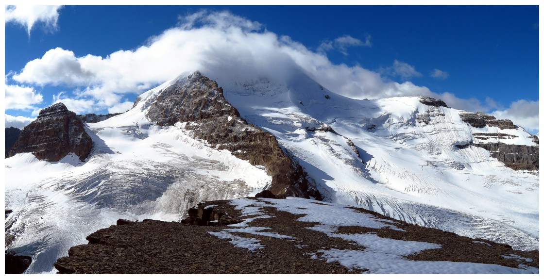
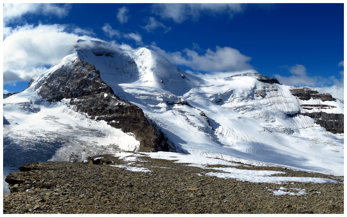
From the
summit of Boundary peak, the front-row view of Mount Athabasca is simply
mesmerizing. To enjoy that view, however, took a little patience on this day.
The summit of Athabasca eluded me for the entire ascent, clouds swirling around
the mountain top. An hour long summit stay remedied that and I was fortunate to see
the entire form of the 11,000 er cloud-free. Of course, Mount Athabasca wasn’t the
only mountain providing entertainment at the summit.
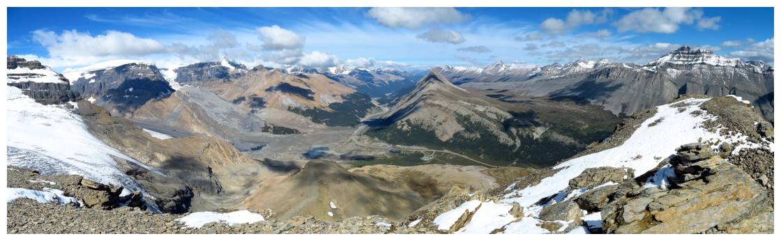
A little
exploration to another highpoint to the northeast yielded more excellent views
of the area.
7 hours
of driving for less than 4 hours of wonderfully scenic hiking/scrambling –
definitely worth it in my books!
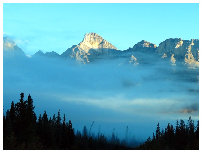 Low lying clouds below Mount Wilson on the drive to the Columbia Icefields
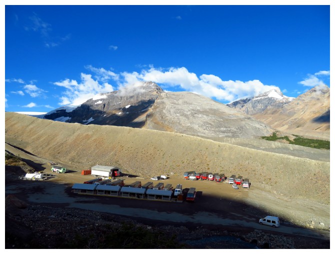
The Snocoach depot. Snowdome and Kitchener behind
The challenging east ridge of Mount Kitchener
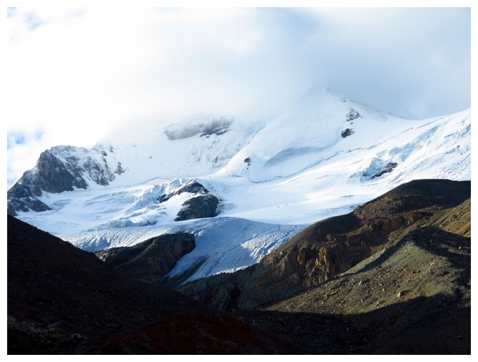
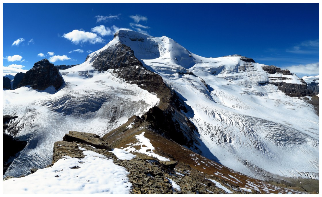
What Mount Athabasca looked like for most of the ascent
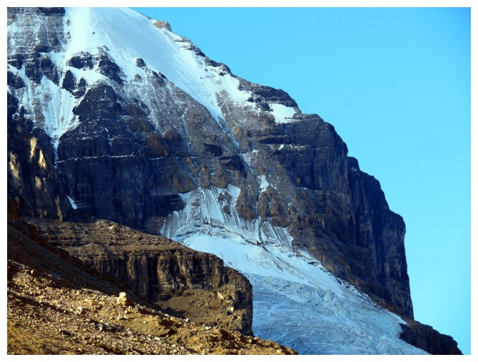
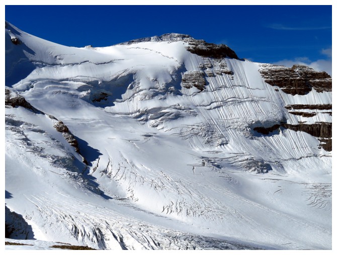
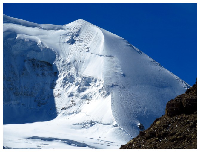
The Skyladder route on Mount Andromeda looks horrifically difficult without snow!
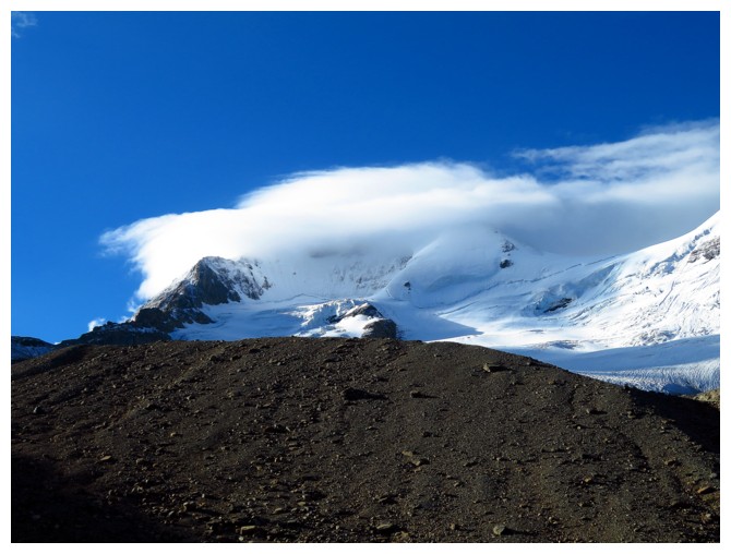
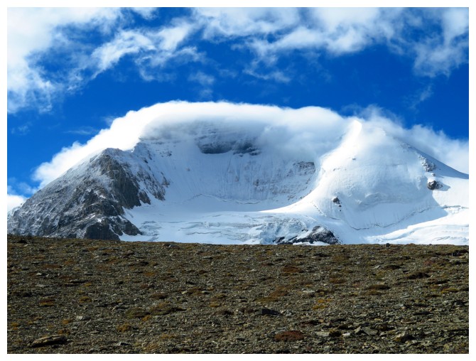
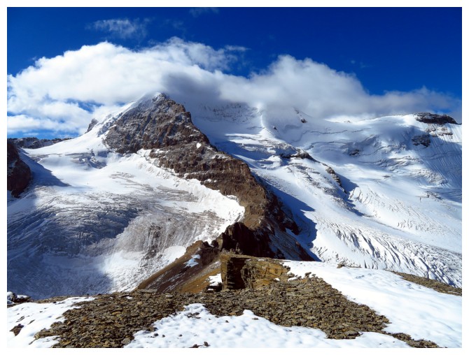
Clear skies around Athabasca, but cloudy around the summit
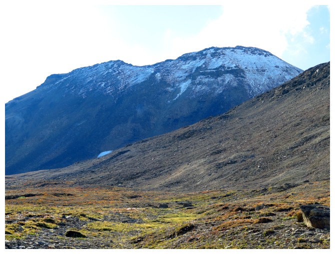
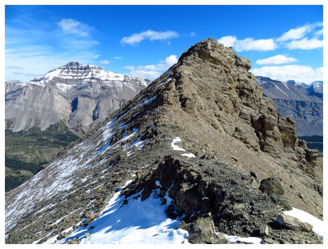
Boundary Peak
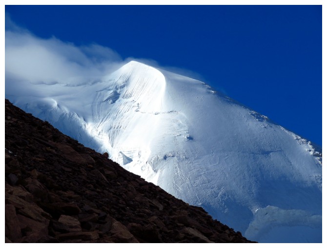
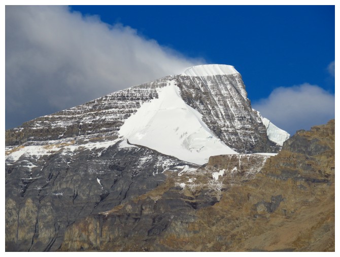
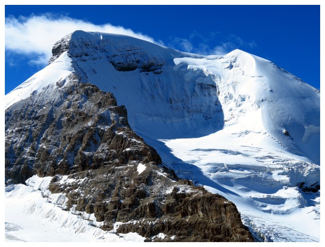
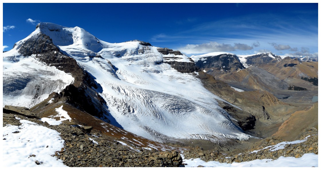
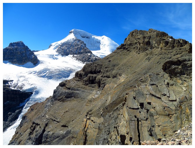
The Silverhorn route on Athabasca is as photogenic as the summit
Getting better
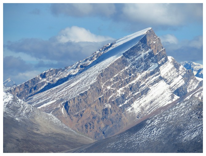
Sunwapta Peak
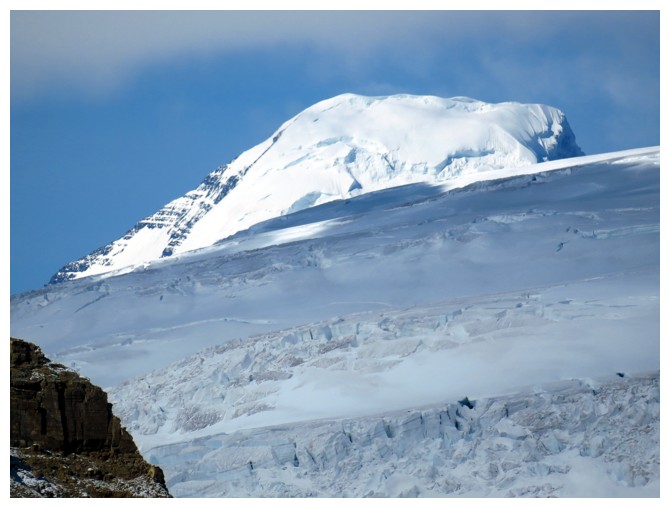
Mount Columbia
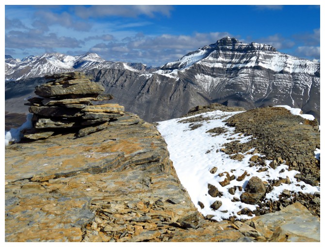
The summit cairn and Nigel Peak (right)
The view I arrived to
Almost clear!
The view to the north. Wilcox Peak in the centre
Finally!!
The heavily crevassed glacier on Athabasca
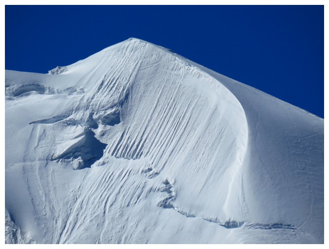
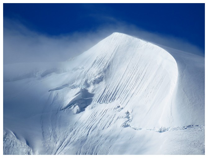
The magnificent Silverhorn again
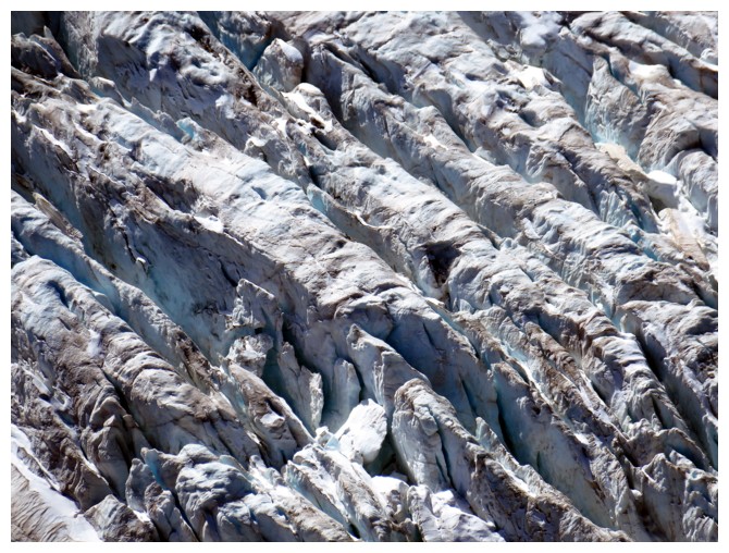
Crevasses on the glacier
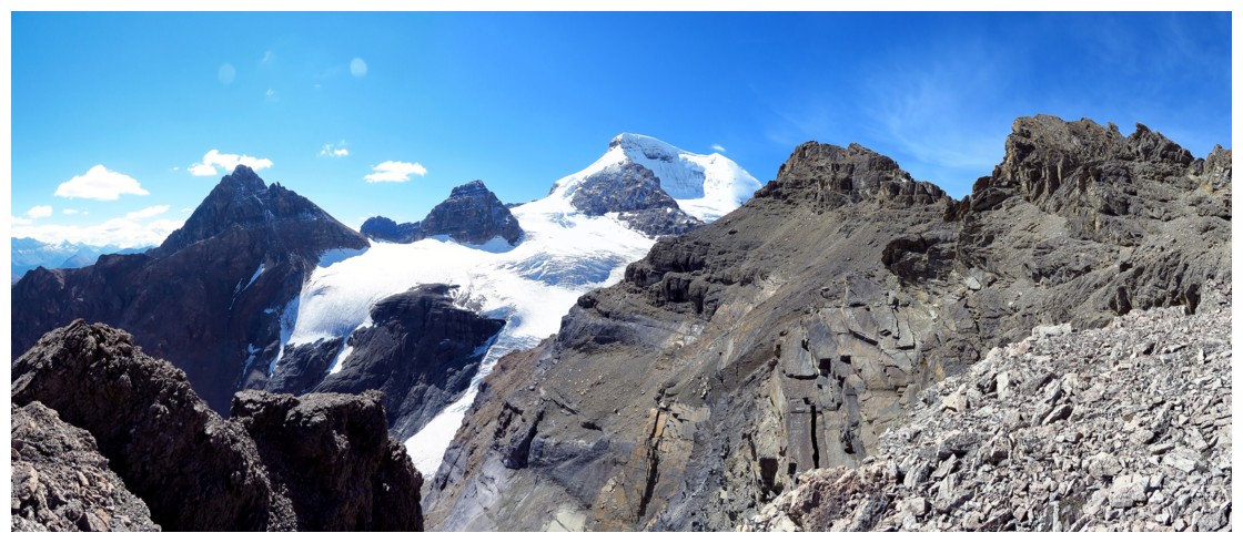
Heading towards the northeast summit
One last look
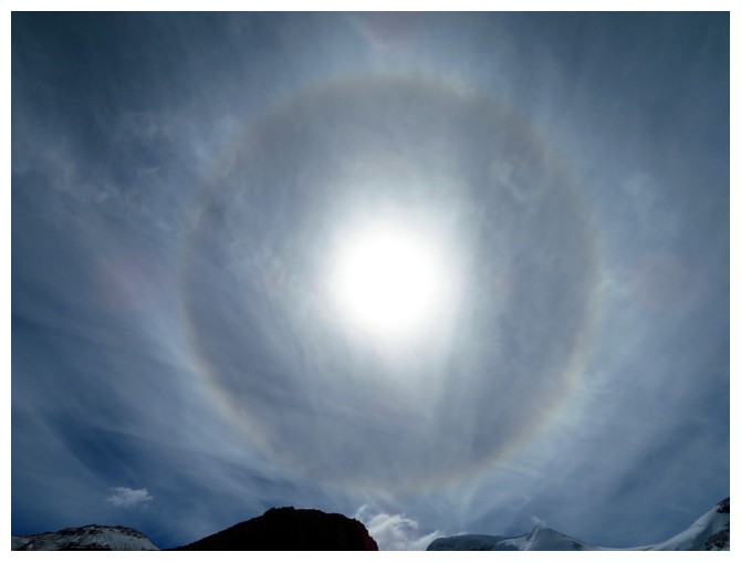
A Sun halo was an excellent way to end the trip