Mount Bourgeau
July 30, 2002
Mountain height: 2930 m
Elevation gain: 1500 m
Solo scramble.
In terms of
technical difficulty, Mount Bourgeau was probably the easiest scramble I’ve
completed to date. It’s a steep hike with no hands-on scrambling. However, the
23 km round-trip distance and 1500 m of elevation gain render it less than a
trivial affair.
The forested
hike to Bourgeau Lake seemed to go on forever and the views at the lake were a
little disappointing. The scenery did eventually improve, hiking past a couple
of tarns en route to Harvey Pass. From the pass the summit, 400 m above, was
reached with ease, but cloudy conditions somewhat muted what would obviously be
a stunning view in all directions. I stayed at the top for about twenty minutes before
retracing my steps back to the start.
Not a
mind-blowing experience, but I certainly got my exercise for the day!
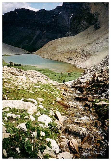
One of the tarns above Bourgeau Lake
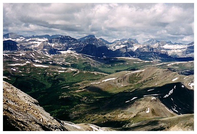
View to the southwest
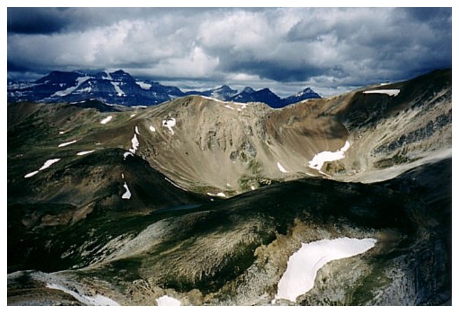
Mount Ball at the far left
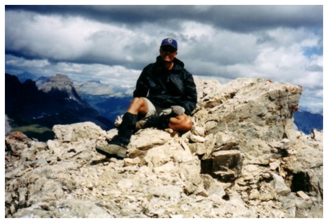
Modeling my new St. Louis Rams cap!
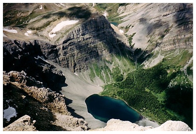
Looking down on Bourgeau Lake
The End
LOG