 Buller Creek Peak II
August 25, 2012
Mountain
height: 2680 m
Elevation gain: 1100 m
Ascent time: 2:40
Descent
time: ?
Solo
scramble.
Mark and
I attempted this mountain back in April of 2009.
We unofficially named it Buller Pass Peak at that time. A summer attempt seemed
to be a good idea and also a route change. I decided to approach the peak from
the south valley (Buller Pass), instead of north (North Buller Pass).
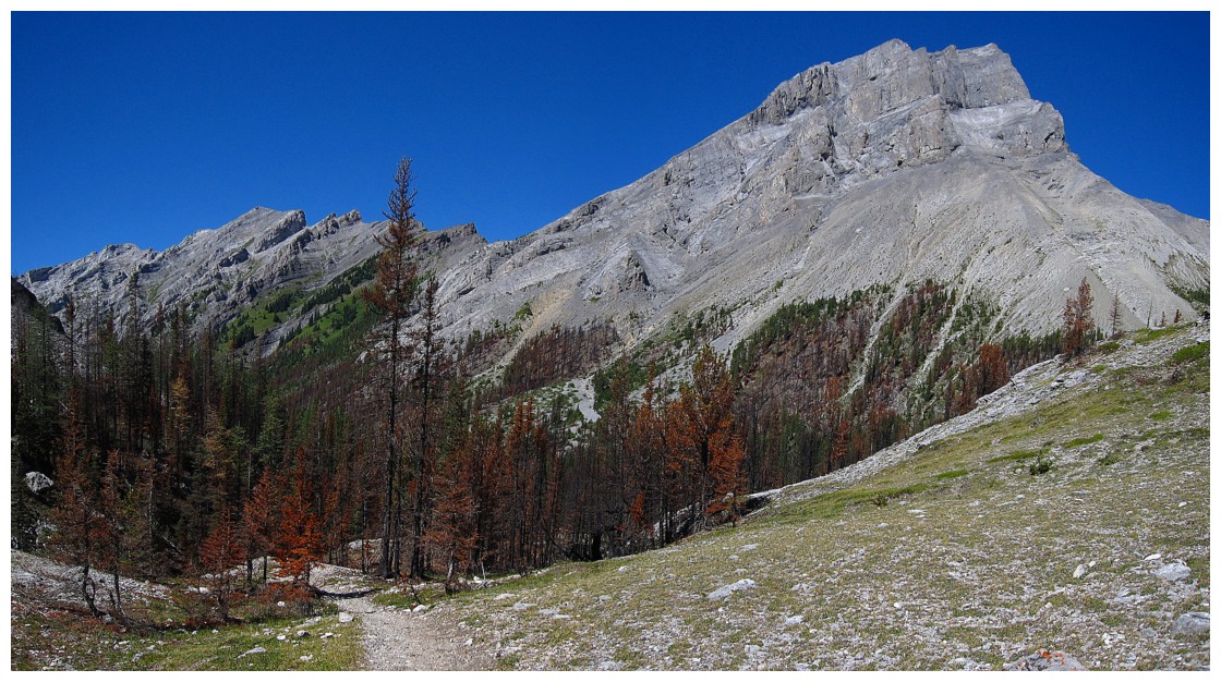
In
perfect weather conditions, the approach was awesome, sections of burnt out
forest providing a stark contrast to the lust green forest, unaffected by the
fire. The unnamed peak, lining the south side of the valley was also
particularly interesting. I didn’t know it at the time, but that peak would
eventually become “Mount Lillian” courtesy
of John Martin and David Jones. The mountain can be approach from Buller Pass or the Galatea Lakes and sports a
magnificent summit view.
I opted
to skip going all the way to Buller Pass and instead took a slightly more
direct route to the ridge and then easily up to the summit. Views throughout
were great and although the apex sits at a relatively low elevation of 2680 m, it
was enough elevation to provide a wonderful panorama.
For
exploratory purposes and to try to cut some distance off the descent, I simply
continued along and down the ridge, hoping for easy terrain. Though not
especially difficult, much of this descent route was tedious and really did not
end up shaving time off the descent.
A
beautiful day!
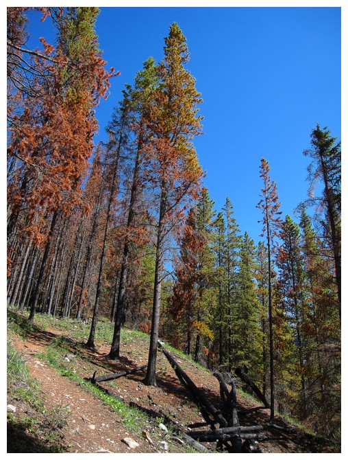
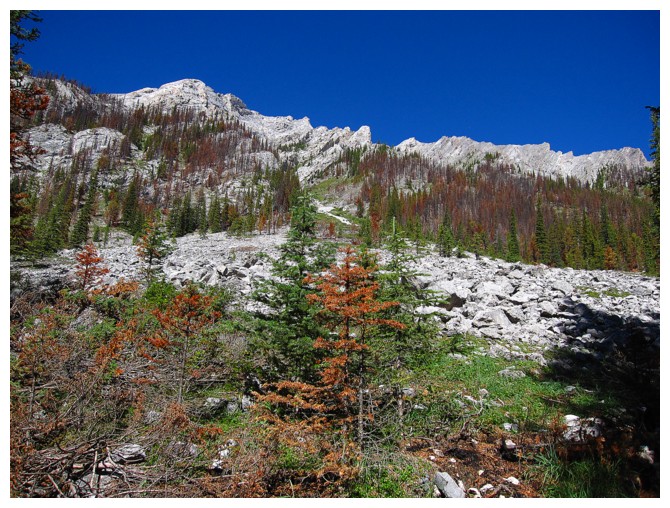
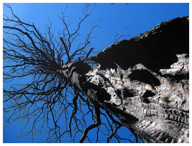
Combination of trees affected by fire and some that weren't
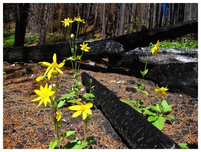
Life rising from death
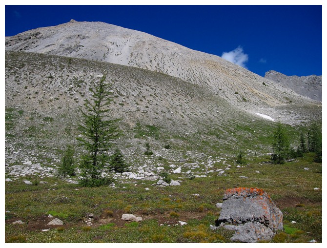
Part of Mount Buller
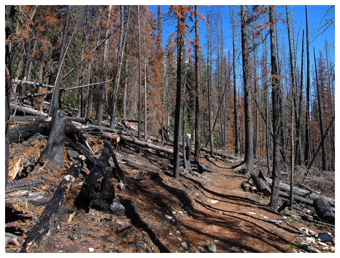
More fire ravaged scenery
First glimpse of Mount Lillian
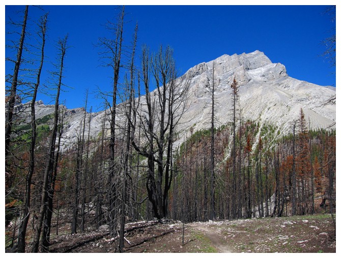
Mount Buller
Emerging from the forest to see the full form of Buller
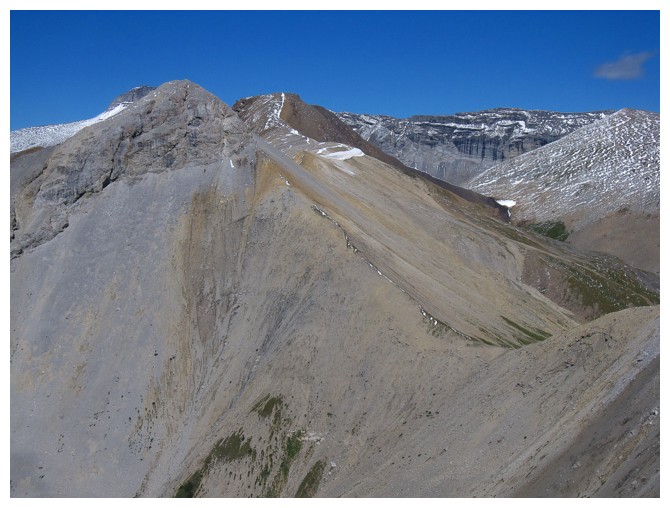
The west end of Buller Creek Peak
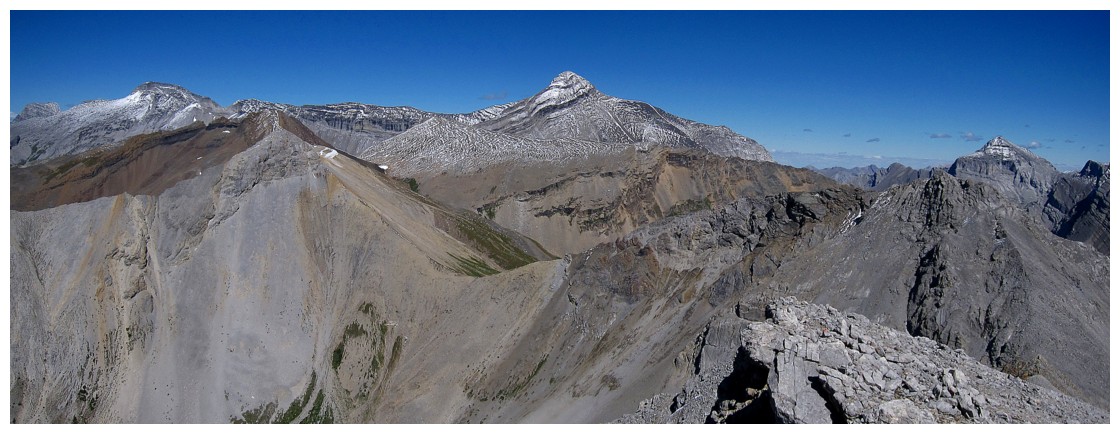
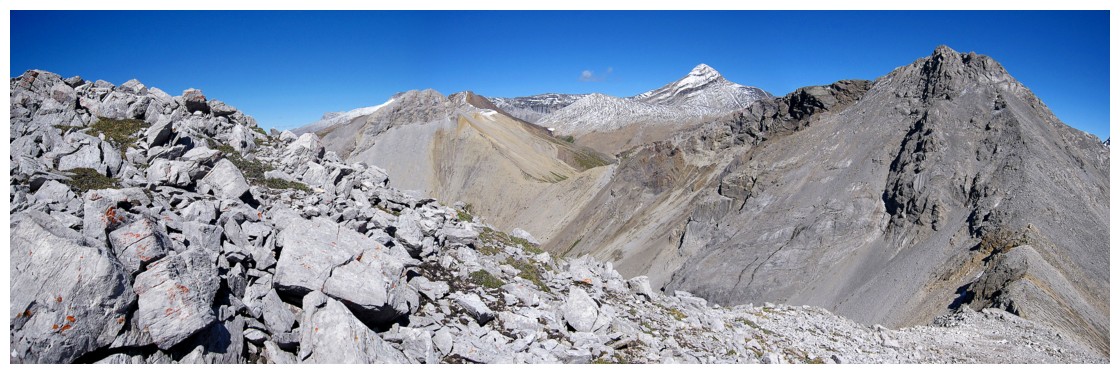
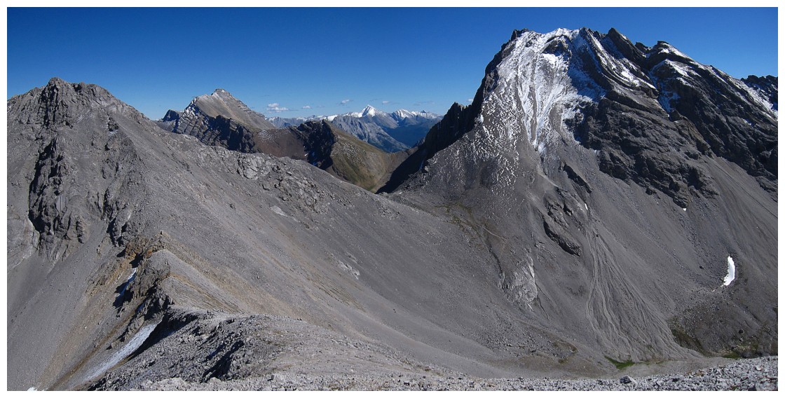
Mount Lillian (summit at far left) and its long west-trending ridge
The low col at the far end is famous Buller Pass
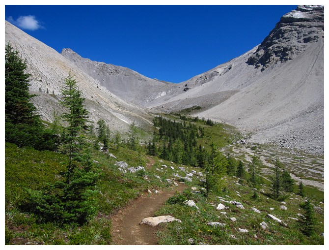
Heading up tp the summit would have been possible at many points in the valley
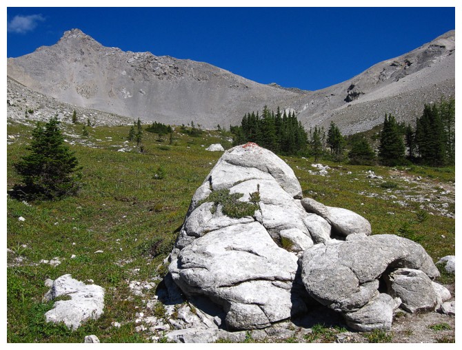
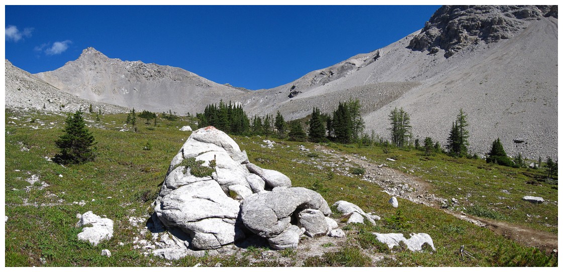
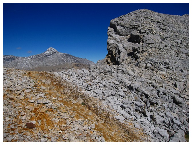
A distinctive collection of rocks
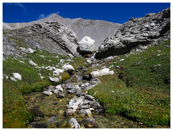
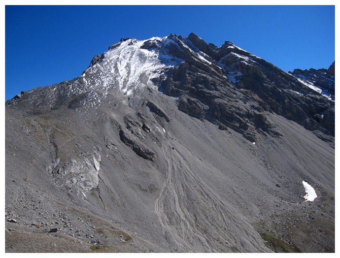
The origins of Buller Creek.
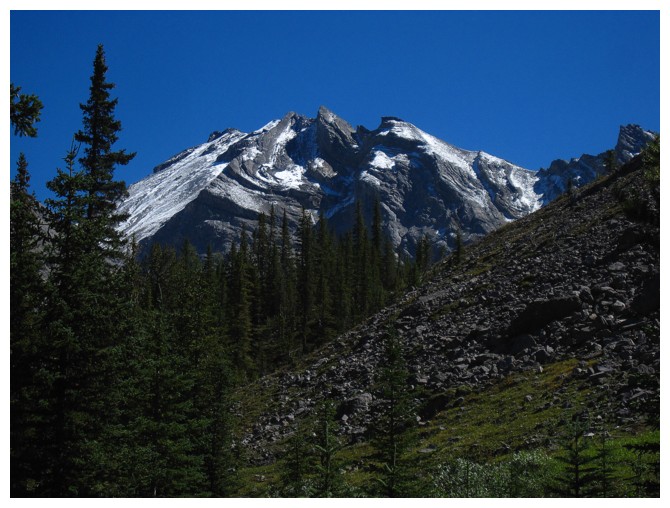
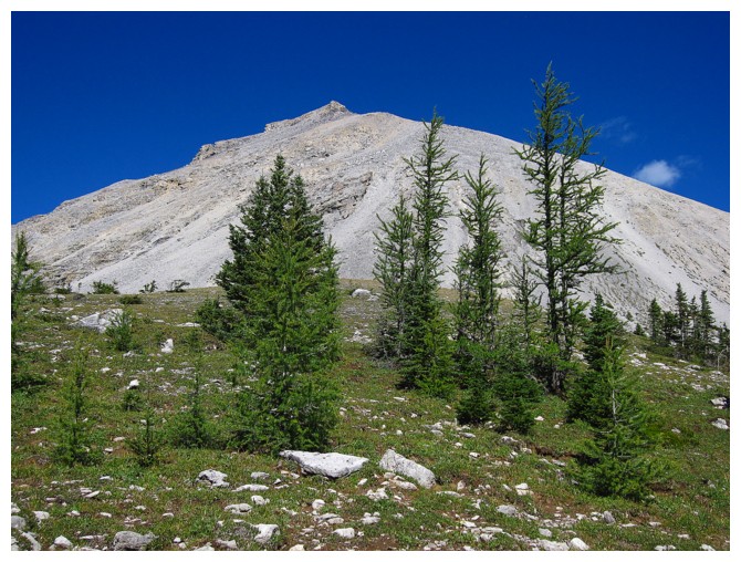
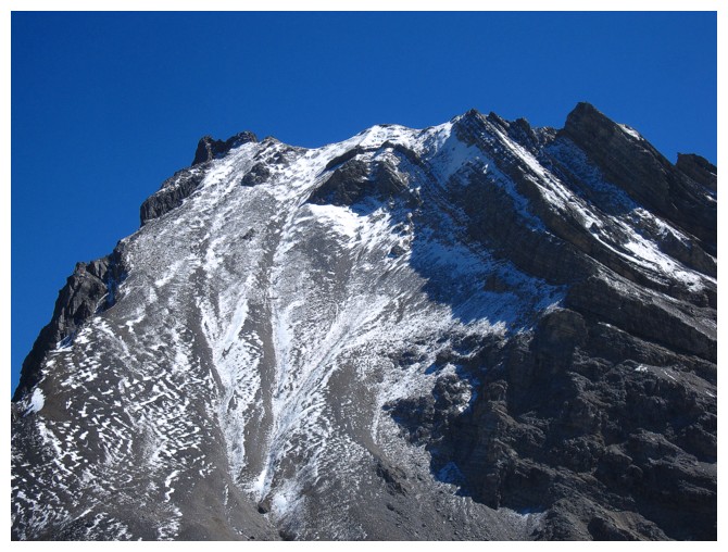
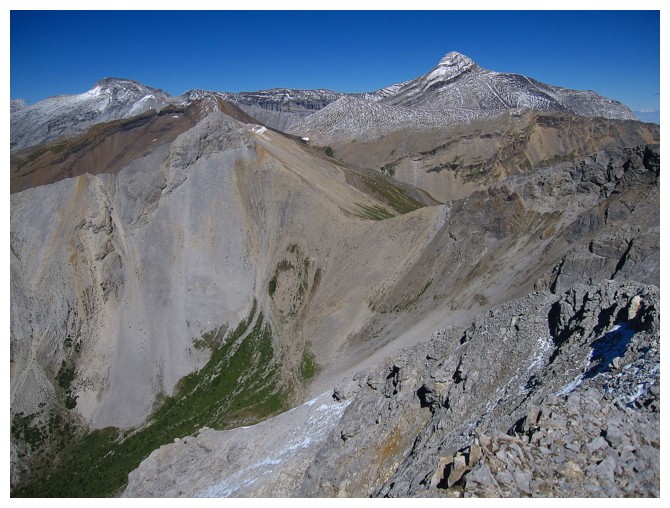
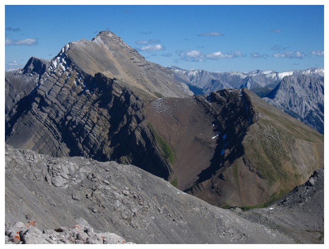
Mount Lillian
The ascent of Lillian is less steep than it looks
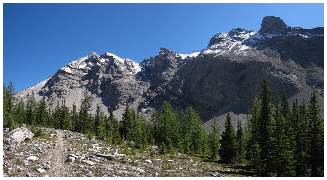
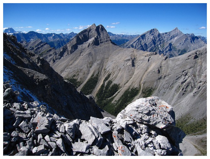
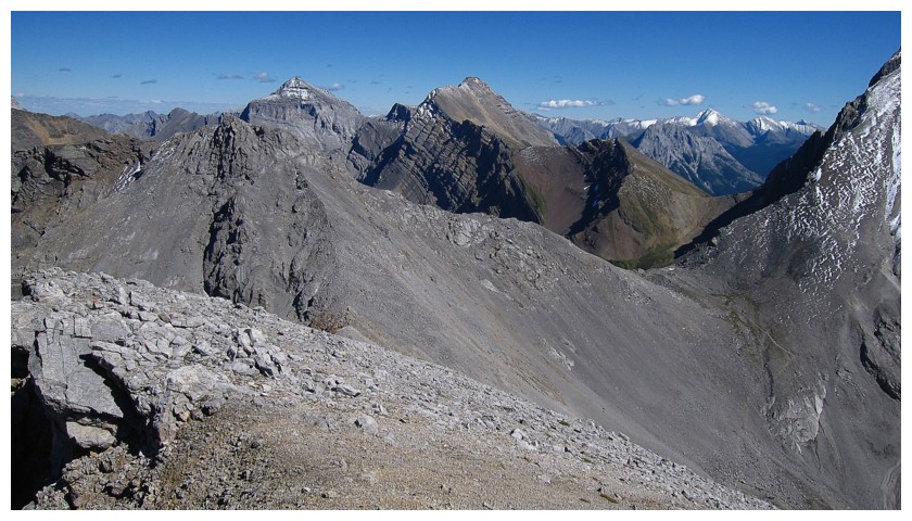
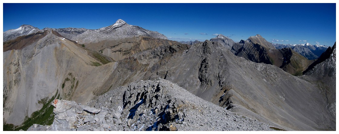
Upon gaining the ridge, Mount Bogart appears
Red Peak is the lower-looking peak just left of centre
Mount Buller looks quite impressive from this angle.
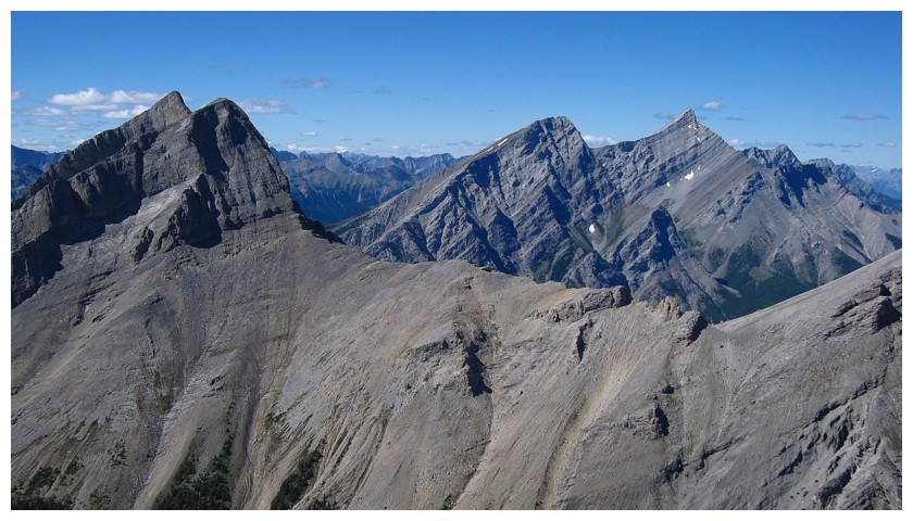
Old Goat Mountain (right) looks insanely steep from here (that's because it is!!)
North and South Kidd join the view
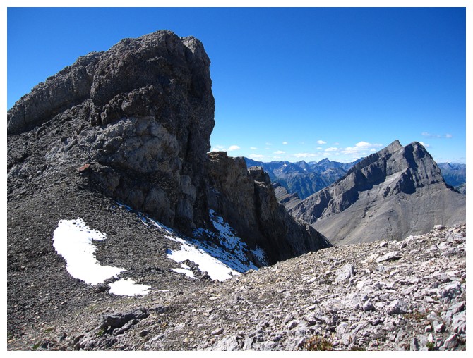
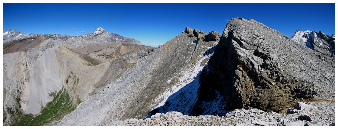
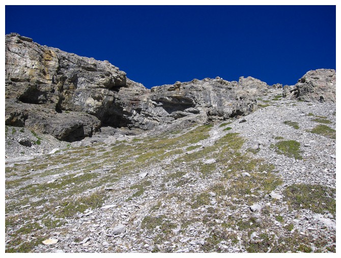
The only small section of scrambling
The shapely form of Mount Kidd South
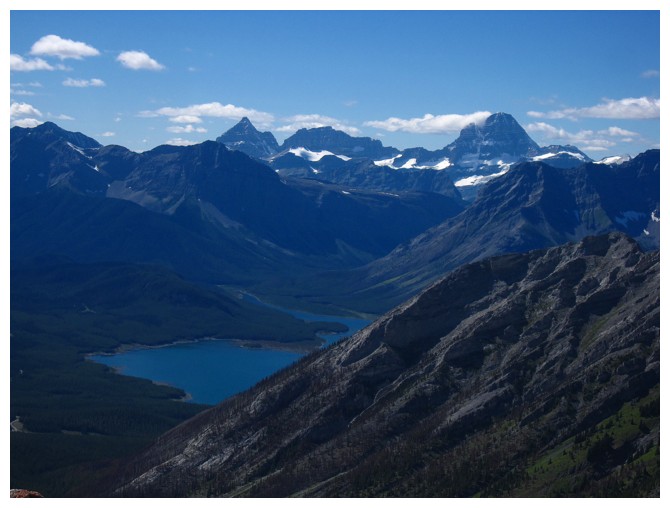
The familiar trio of Eon, Aye, and Assiniboine
Summit view
http://anugara.com/oldgoat2.htm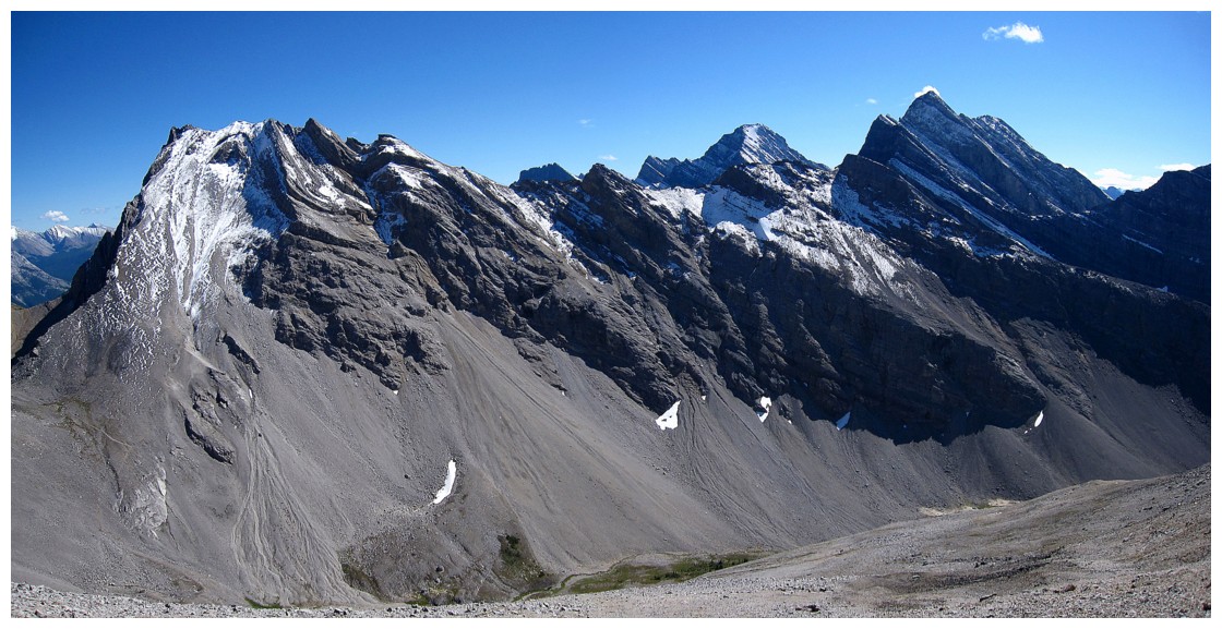
Mount Lillian, with Galatea and The Tower to the right
Heading down the west ridge
Some colourful rock
Looking up the side of the mountain I came down
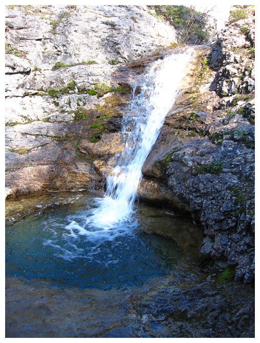
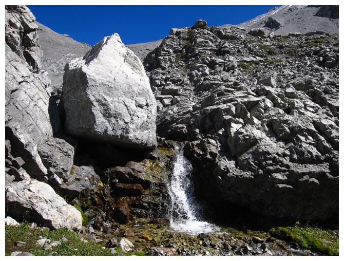
The small but photogenic waterfall along Buller Creek