Mountain height: 3,040
m (9,971 feet)
Elevation gain:
1,735 m
Ascent time:
5:40
Descent time:
Scrambling
with Mark.
Except for the
seemingly endless and dull hike to
We took the
remainder of the ascent at a fairly leisurely pace, hoping that the sky would
clear completely, as predicted by the forecast. Higher up, the hands-on
scrambling was very nice. Unfortunately, we had a severe lapse of judgment in
estimating the length of the upper part of the mountain. We came to what we
thought was the “75 to 100 m traverse” in
Kane’s description, not realizing that it was much, much higher up. When we
finally reached the summit (?), we were quite surprised to find out that we were
still quite a distance from the true summit. The route-finding near the top was
a little tricky, as the summit was quite far over to the left. Nevertheless,
there were plenty of
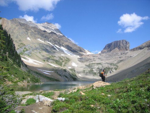
At Hamilton Lake, with Mount Carnarvon at the left and Emerald Peak to the right
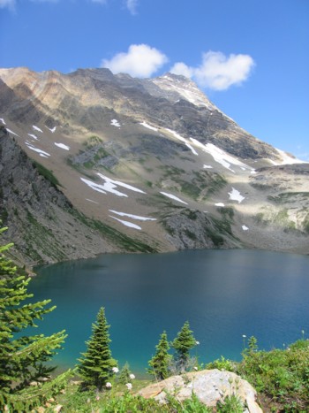
Hamilton Lake and Carnarvon above
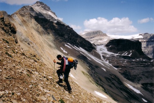
Ascending shale slopes towards the ridge
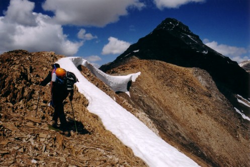
On the ridge, with the first part of the ascent in the shade
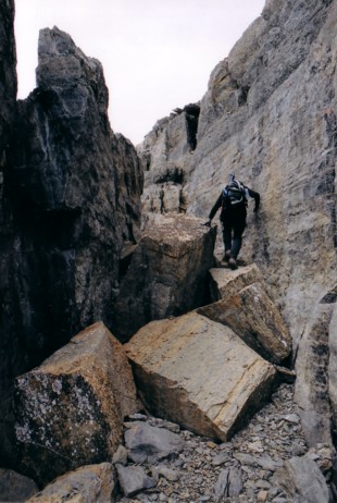
This is what we mistakenly thought was the 75-100 m traverse - it's not!
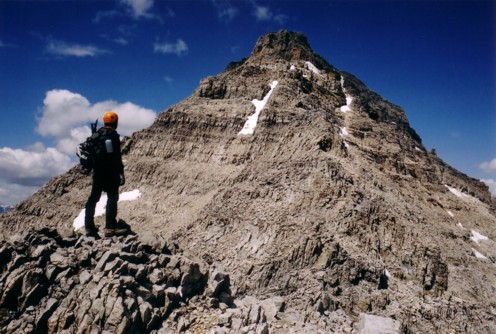
After summitting the above rockband, we were surprised to find this - still a long way from the top!
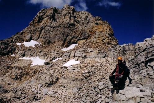
Approaching the real traverse that goes to the left of this rockband (this still isn't the summit)
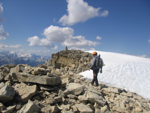
Mark, almost at the true summit
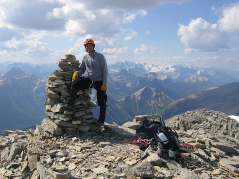
At the summit, finally!
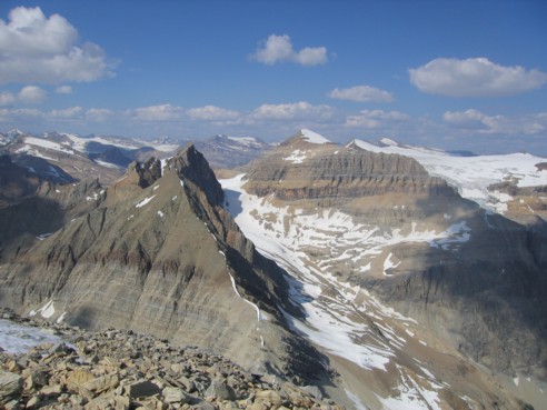
A great view to the north
LOG