Mount
Charles Stewart –
Mountain height:
2,795 m
(9,168 feet)
Elevation gain:
1,450 m
Ascent time:
5:30
Descent time: 2:15
Scrambling
with Paul Russell.
The
south summit of Mount Charles Stewart, via its southwest slopes is the ultimate
scree-slog. As a matter of fact, if you look in the dictionary for the phrase
“scree-slog”, you’ll probably see a picture of scree and then a guy
slogging up it – get it??!! Regardless of this unpleasant characteristic, the
ascent has a number of redeeming features that make it a worthwhile objective.
Redeeming
Feature #1: the
After
the canyon, it took us another hour to finally reach the start of the ascent
gully. At this point, making the south summit of the mountain, let alone
attempting the traverse to the slightly higher and true north summit, seemed to
be in question. The weather also took a turn for the worse and the views to the
west disappeared completely.
Bob
Spirko had warned us about the endless tramp up the southwest scree slope, so at
least we were it expecting a less than aesthetic experience – and we got it!
Lower down, the snow was too sugary to kick step up, so we veered off to the
right to gain the ridge earlier. With better conditions, kick stepping or
cramponing right up the centre of the face would have been preferable.
The
view improved considerably when we reached the ridge, the sun periodically
breaking through the thick clouds, highlighting the dramatic connecting ridge to
Mount Lady MacDonald. We were now right in the path of a significant west wind
and the temperature was absolutely bone-chilling. We ascended the ridge for a
short distance until the summit came into view. The final push to the summit
required traversing steep slopes covered in rock-hard snow. Thankfully, crampons
made easy work of it and soon we were on the summit, enjoying Redeeming Feature
#2: a terrific summit panorama that probably would have been outstanding on a
clear day. The snow-covered route to the true summit was especially stunning,
though we quickly both agreed that an attempt to traverse over to it was out of
the question- too little daylight, too little energy, too cold, and no climbing
gear.
Redeeming Feature #3 (sort of?): with the right snow conditions, and perhaps a Crazy Carpet for the more gentle lower slopes, it would have been possible to glissade all the way back down to the valley – almost 900 vertical metres. Near the top, the snow was too hard and the grade too steep, however, moving into the centre of the gully, we were able to find softer snow and Paul took off his crampons and started the exhilarating glissade. Unfortunately, it was all too short lived, and lower down, there was not enough snow and it was too powdery. Nevertheless, we were able to cut significant time off the descent. Once back in the valley, the reminder of the trip was easy and mindless hiking.
A
return trip to attempt the north summit is definitely in order, but our trip to
the south was a more than satisfying experience and Paul’s terrific company
was most welcome.

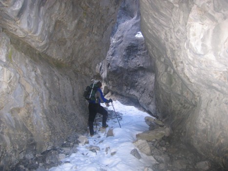
Part of Stoneworks Canyon
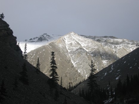
The south summit of Charles Stewart is left of centre
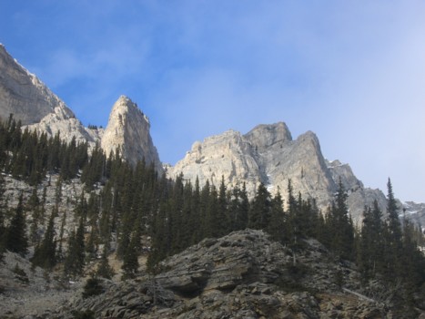
Interesting rock on the southeast side of Squaw's Tit
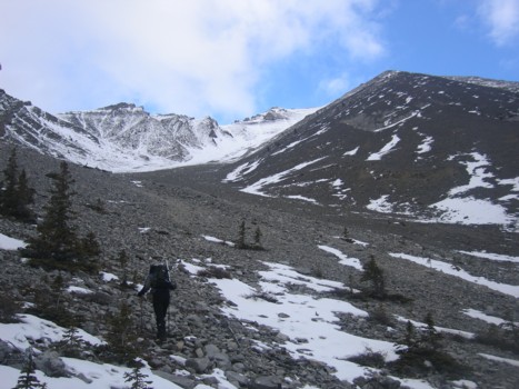
The start of the endless scree slog (summit in the centre)
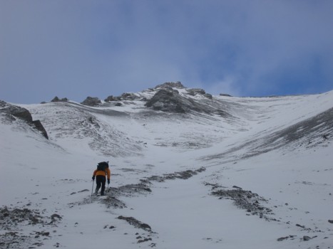
Paul ascends annoying scree
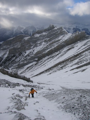
Paul works his way up to the ridge
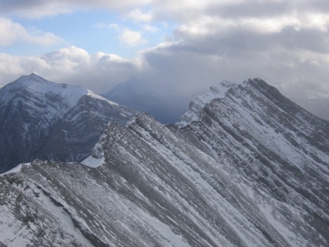
The connecting ridge to Mount Lady MacDonald; Grotto Mountain (left)
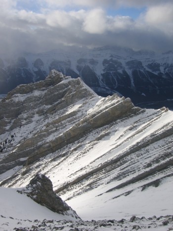
Looking down to Squaw's Tit
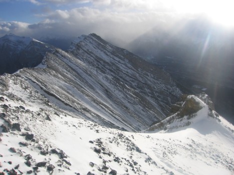
Looking down the south ridge; Lady MacDonald, left of centre
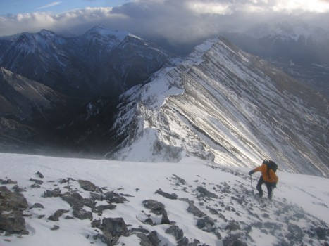
Paul comes up the ridge
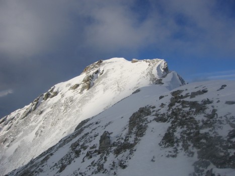
The upper south ridge and south summit of Charles Stewart
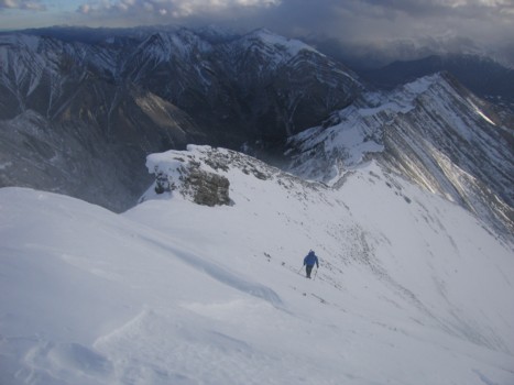
Paul makes his way to the summit
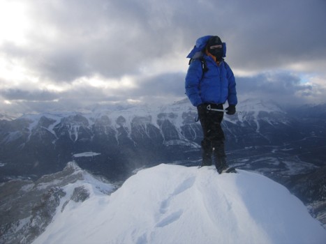
Paul at the summit
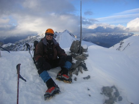
The other guy at the summit
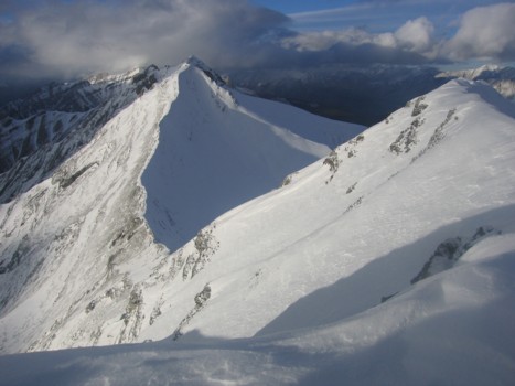
The north and true summit of Charles Stewart and the connecting ridge
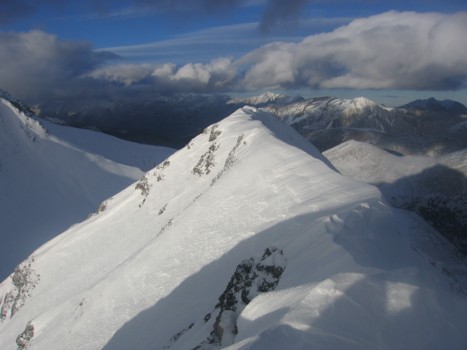
The first part of the connecting ridge
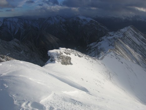
Looking down our ascent route
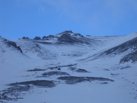
Paul tries to glissade on the lower slopes; a Crazy Carpet would have worked well here