August 19, 2016
Solo
scramble.
Six days after an epic bushwhacking ascent of Cloudy
Ridge Junior, I set out to complete the far more sensible route described by Mike
Potter. I probably took as many photos on the drive in as on the trip!
The trip generally went well, except for the section where I foolishly
decided to deviate from his route and ended up doing a long stretch of guess
what – nasty bushwhacking!! Once back on the correct path, I enjoyed a scenic
stroll/scramble to the east end of the ridge. I decided against going all the
way to the summit, having (almost) accomplished what I set out to do. On
descent I stuck to Potter’s route exactly!!
Upon completing the route, I did explore the very interesting outlier of Mount Yarrow I spotted six days earlier.
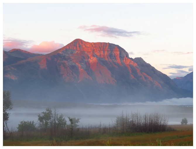 Vimy Peak in the early morning
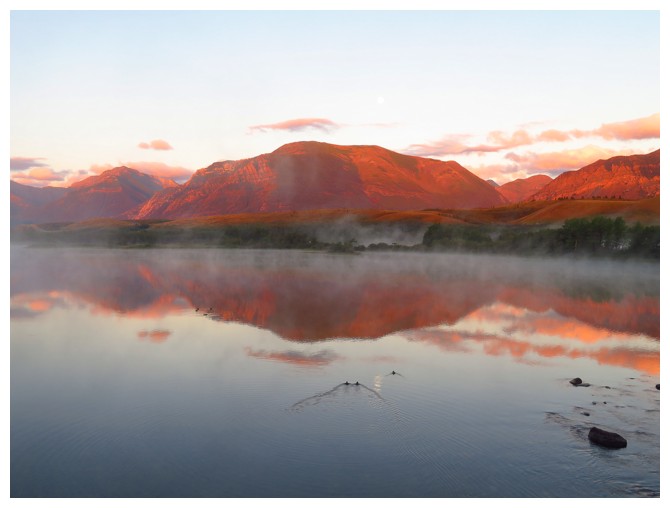
A rare reflection in the water where Lower Waterton Lake becomes Waterton River
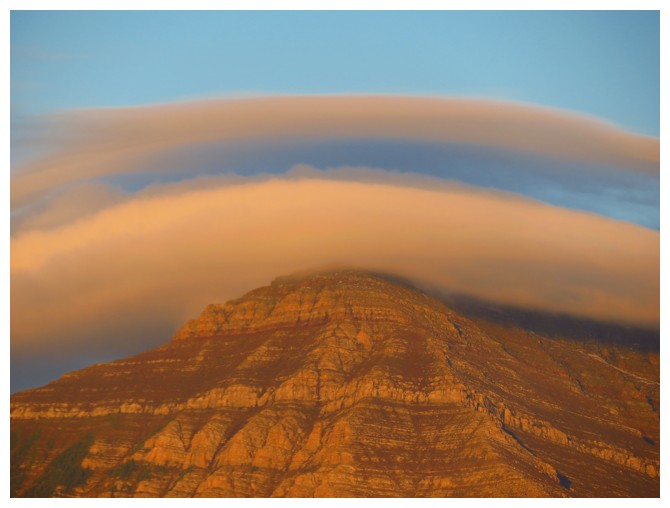
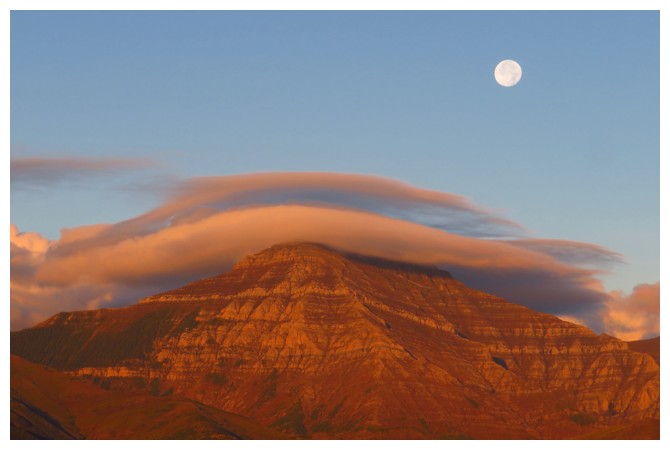
Clouds over Mount Dungarvan
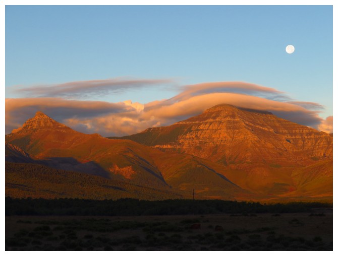
Same as above with the Moon and Rogan Peak at the left
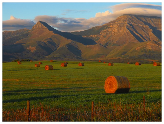
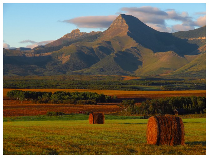
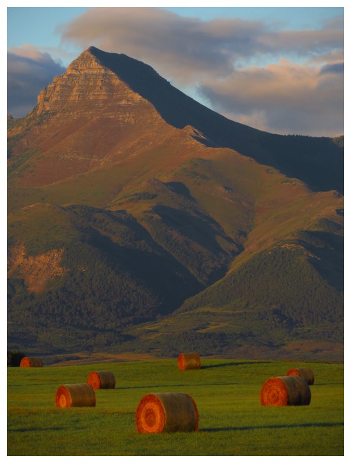
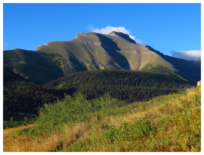
Rogan Peak and Dungarvan
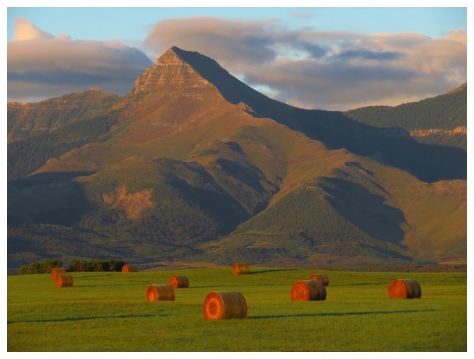
Rogan is very photogenic from certain angles
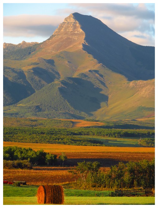
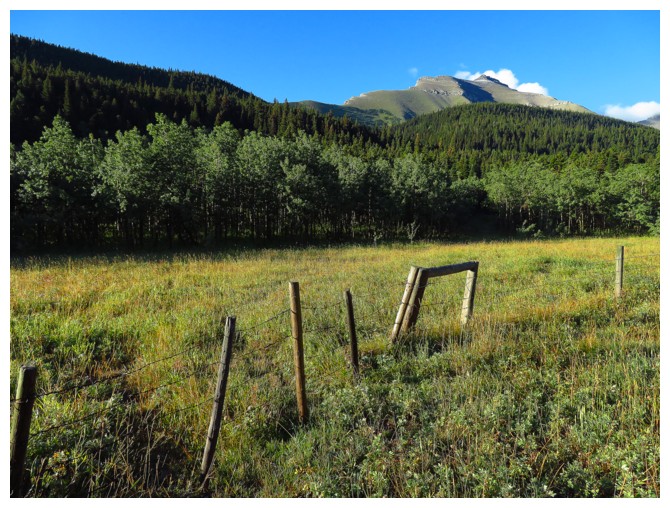
Making sure I got all the angles!!!
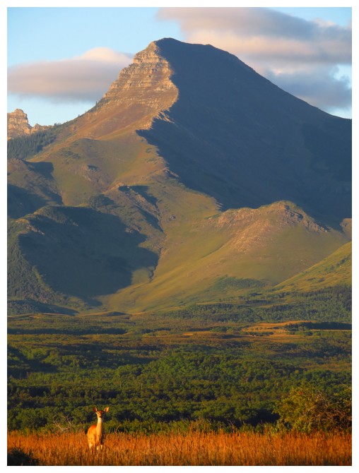
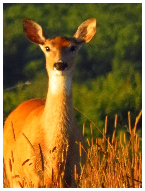
And then Bambi joined the scene
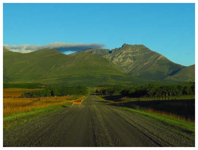
But had other places to go
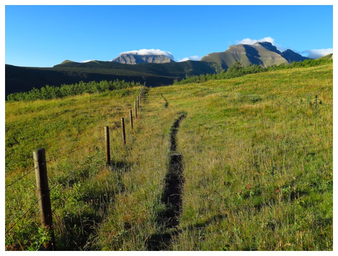
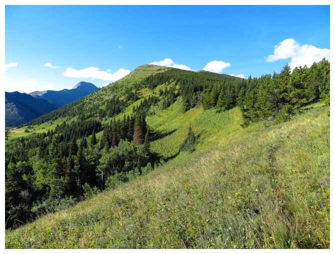
The approach hike, with Cloudy Junior at the right
Cloudy Ridge Junior
The start of the main trail
Just missed walking face first into this beauty!
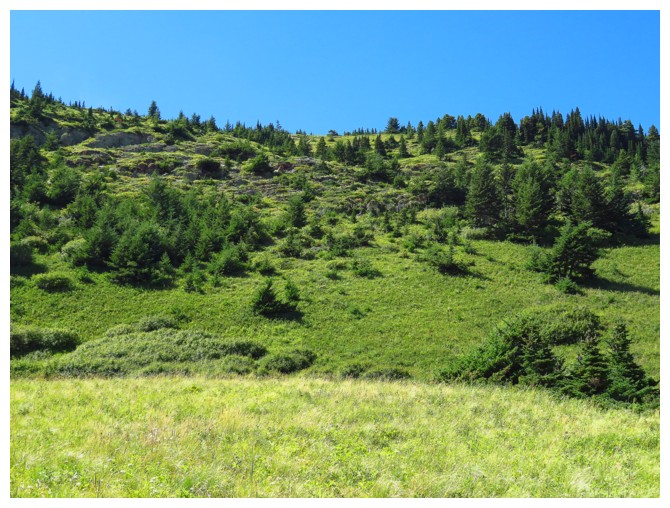
Where the trail drops down to the left. I foolishly stayed high and had to bushwhack through all those trees
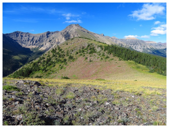
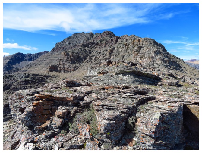
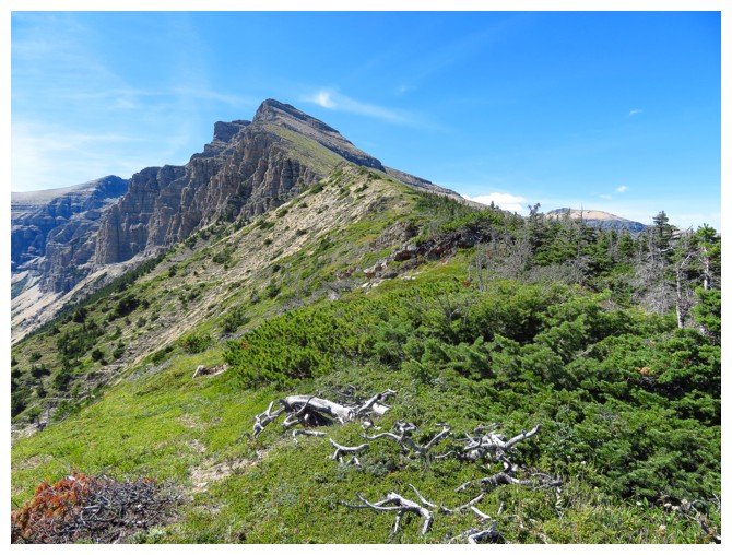
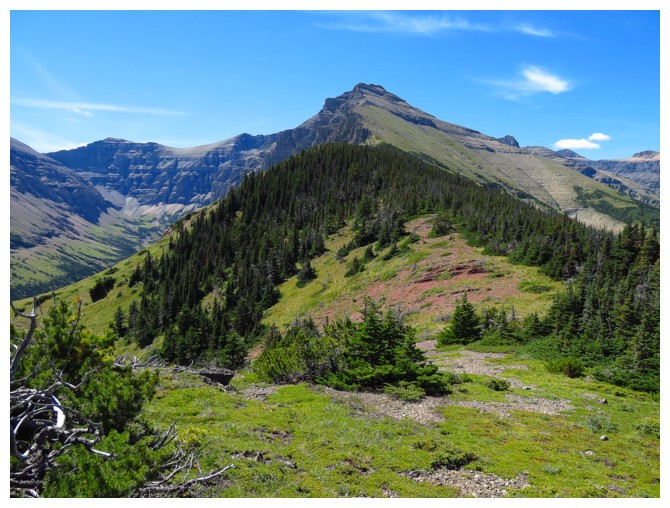
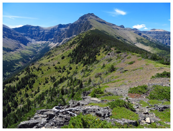
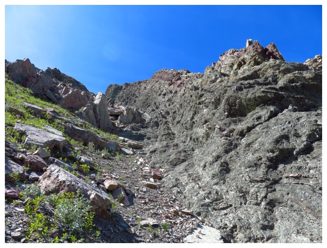
Out of the mess and looking along the pleasant ridge to the summit
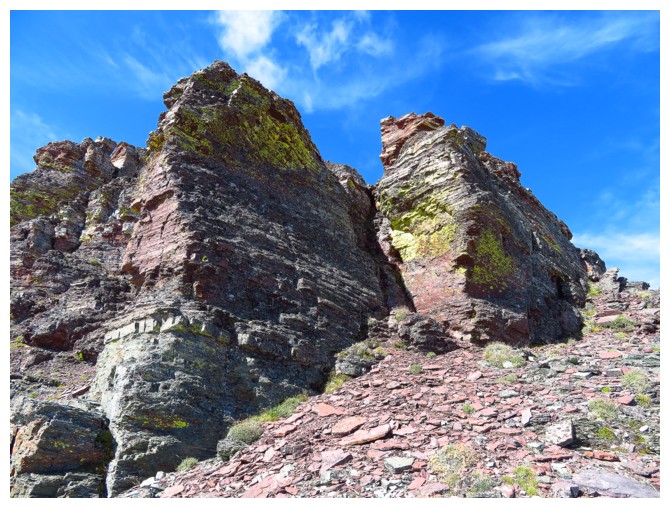
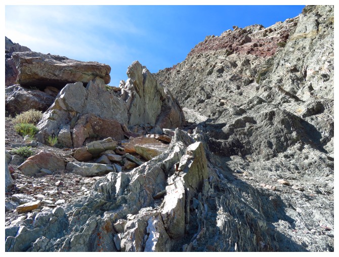
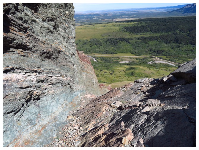
Tons of precipitous rock on the left side of the ridge
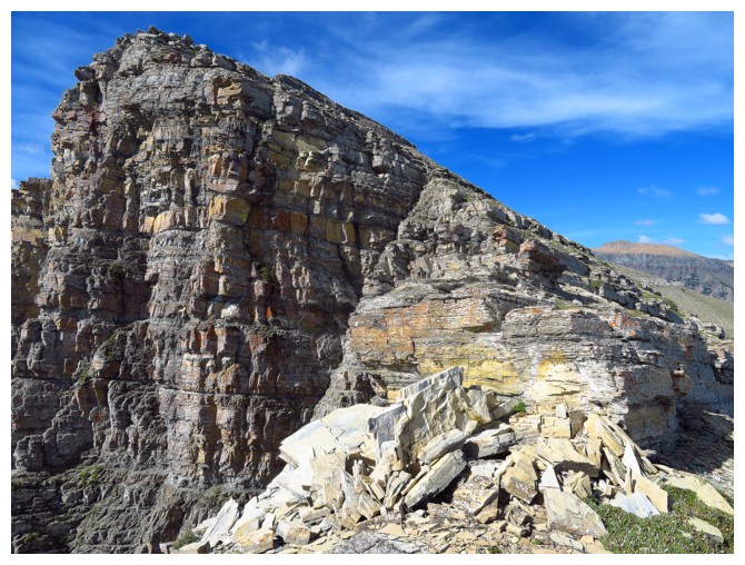
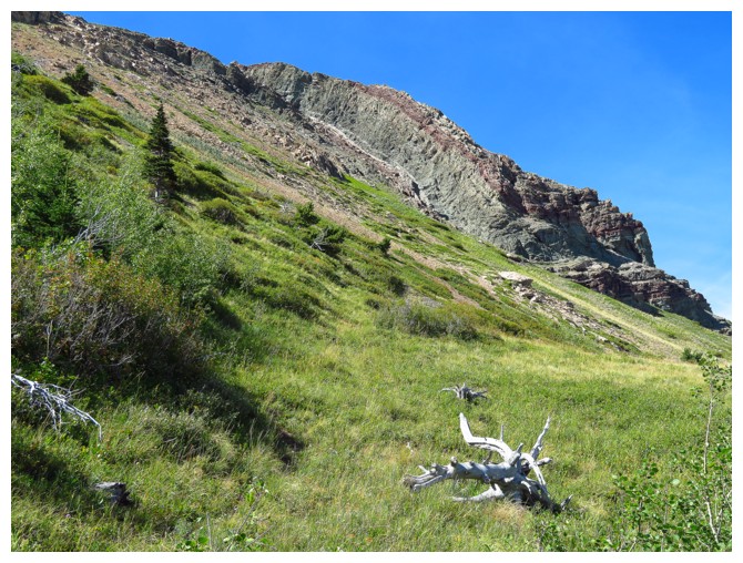
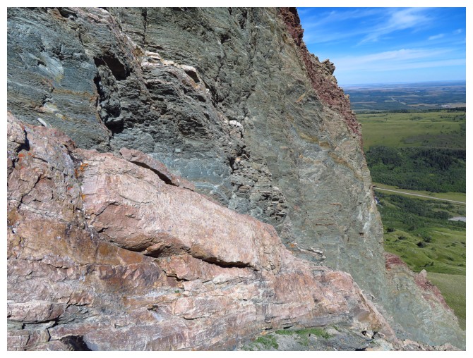
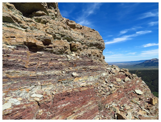
The red argillite band that marks the end of the east ridge
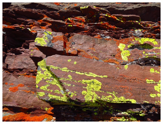
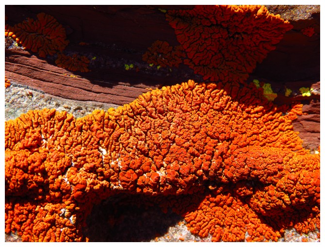
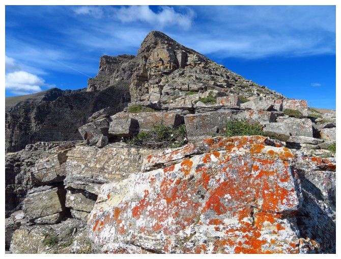
Photographed yellow lichen on the last trip, so here's some orange lichen
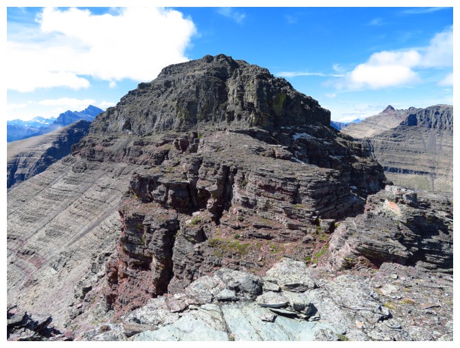
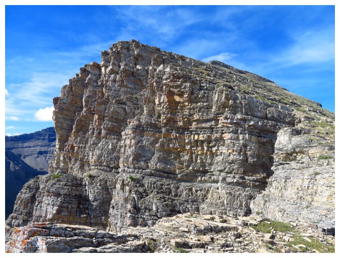
The summit block. I turned around here
Returning
The steep grassy section you have to ascend/descend to get from the trail to the ridge and vice versa
Heading up to the Yarrow outlier
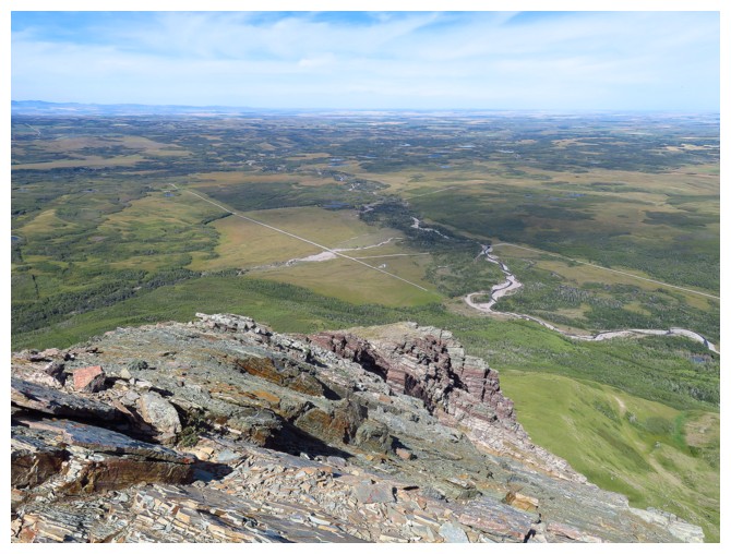
From the top of the outlier looking down at Yarrow Creek and road to the trailhead
LOG