Mount
Mountain
height: 2,768
m (9,079 feet)
Elevation gain:
1,240 m
Ascent time:
4:30
Descent time:
2:45
Scrambling
with Mark.
We had a deadline for this trip, but not because of the
shortened days of winter. Having watched every Super Bowl since we moved to
North America in 1979, we needed to be back in
We had spent the previous day at the Nakiska ski hill, honing our downhill skiing skills (or in my case, flailing skills!), and spotted a potential route up the southeast ridge. On the map it appeared to be shorter than the usual route from the north and had the added bonus of gaining about 400 vertical metres ascending the northern-most ski run of Nakiska. It took us an hour of hiking, by headlamp, to do so, but was dead easy on freshly groomed runs (of course, if we’d been really smart, we would have skied up the run, ditched our skies and then skied down on return).
Getting from the ski run to the ridge was definitely the
most tedious part of the trip, requiring several annoying elevation losses,
travel through deep, powdery snow, and climbing over deadfall. Thankfully, it
took only 45 minutes. Once on the southeast ridge, the remainder of the route
was straightforward and easy, highlighted by interesting scenery towards
We arrived at the summit at 11 am in decent, but
deteriorating weather conditions, took a few pictures, descended the north ridge
a short distance to check out the crux of that ascent route (which was plastered
in thick snow), returned to the summit, waited for the weather to improve (it
didn’t) and then started the descent. Although we would have liked to traverse
over to Mount
Arriving back at the top of the ski run, we did get some odd stares as we walked down parts of the long run and then Crazy Carpeted down the sides of other parts – again skis would have been a far more sensible and expedient way to go. A good day out followed by a moderately entertaining Super Bowl – Pittsburgh: 21 – Seattle: 10.
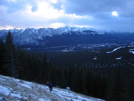
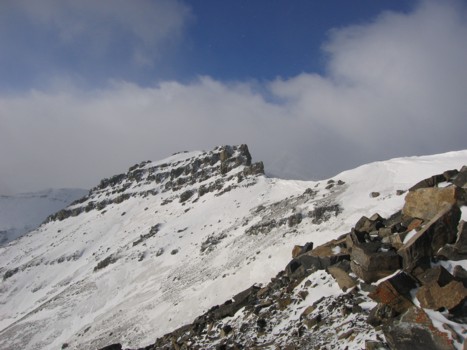
Gaining the southeast ridge; the Nakiska ski runs at the far right; highpoint in the background is Old Baldy Mountain (GR356417)
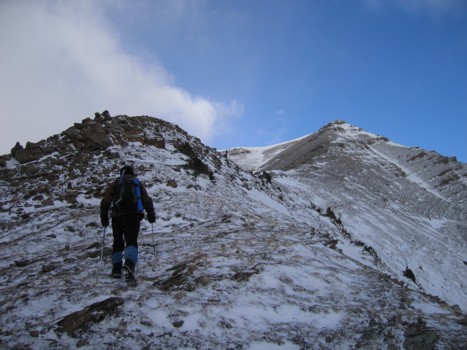
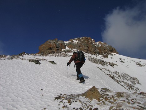
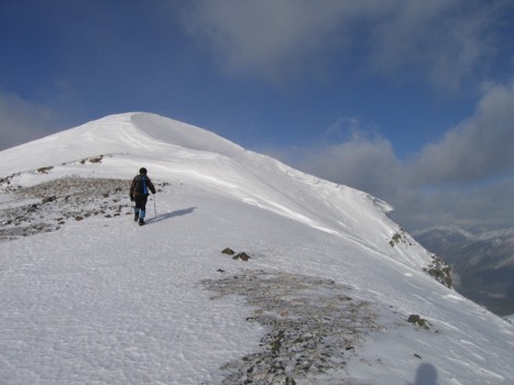
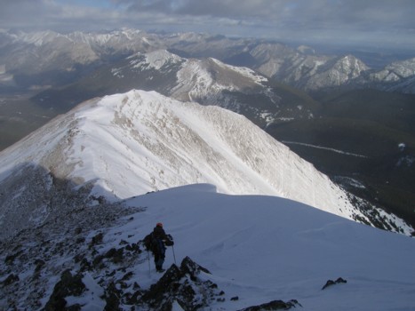
On the southeast ridge, with the summit to the right
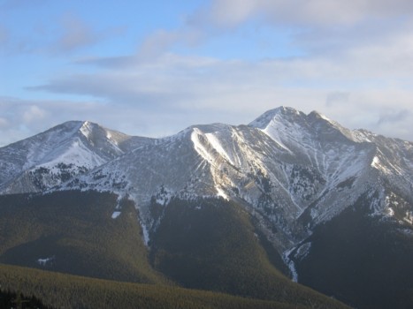
The west side of Unnamed (GR303516), between Lorette and McGillivary
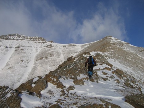
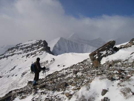
Further up the ridge
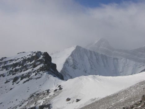
The rockband near the col between Allan and Collembola
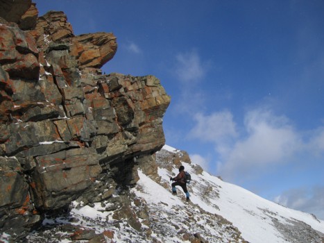
A little off-route; we had to ascend through a weakness in this rockband to regain the ridge
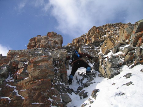
Ascending the weakness
Back on the ridge
Approaching the summit
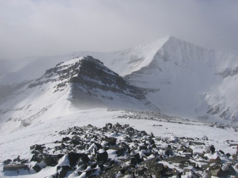
A look towards the rockband near the col, Mount Allan, and a couple of the peaks of Lougheed in the background
Same as above
....and again, without the rockband
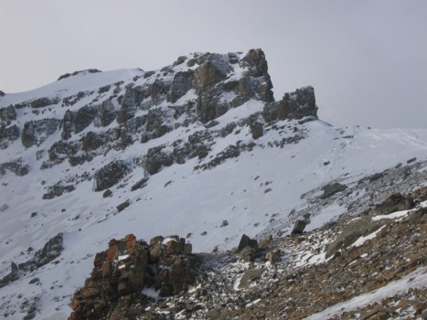
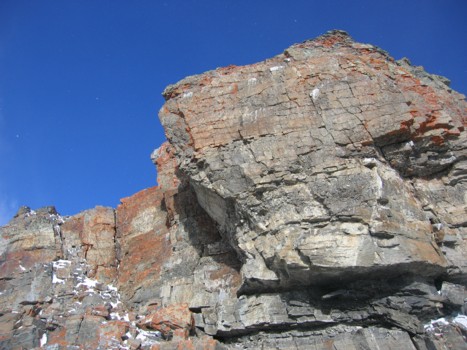
A closer look at the rockband
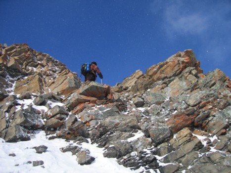
The final obstacle before the summit; easily circumvented on the left side
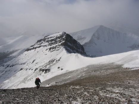
Mark hikes up the ridge
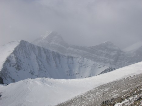
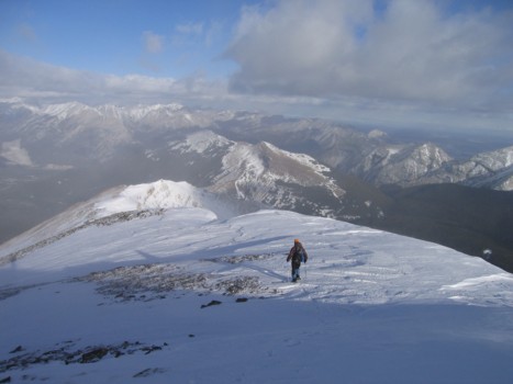
More atmospheric scenery
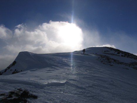
The final few metres of the route
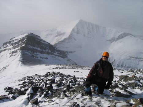
At the summit
Heading north along the ridge
Same as above
Approaching the crux of the ascent route from the north; Pigeon Mountain behind
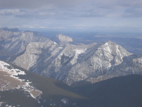
Mount McGillivray (foreground), Mount Yamnuska in the background
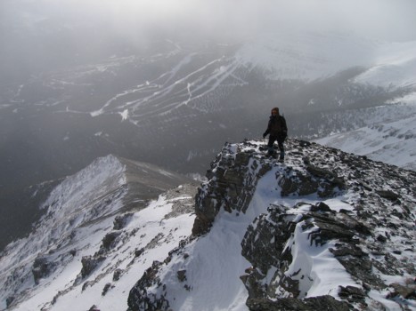
Heading back, with Nakiska Ski Hill behind