Cone Mountain attempt
 April 18, 2009
Mountain height:
2910
m
Elevation gain:
approx.
1200 m (came up 35 m short)
Ascent time:
9:35
Descent time:
5:40
Roundtrip distance: approx.
28 km
Snowshoeing with Mark.
Chalk this one up as a good learning
experience. I’ve always
been curious about the limitations of single-day snowshoe travel in
regards to
horizontal and vertical gain – 1200 m vertical and 28 km
horizontal is too much
– way, way, way too much! 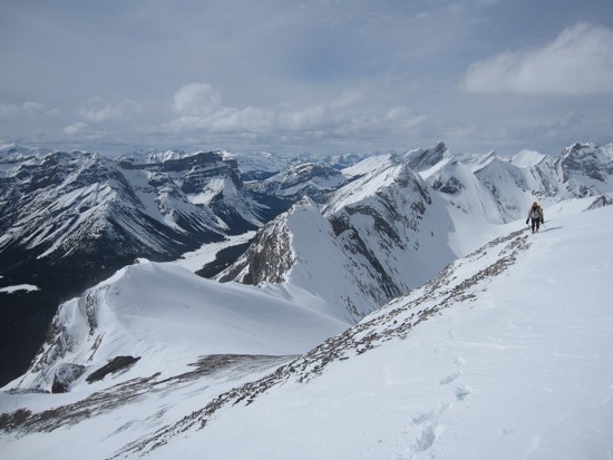 Though not as physically brutal as
our Castleguard,
Chephren,
and Kitchener
trips,
Cone definitely makes it onto the list of “Trips that could
actually tire you
to death”.
Though not as physically brutal as
our Castleguard,
Chephren,
and Kitchener
trips,
Cone definitely makes it onto the list of “Trips that could
actually tire you
to death”.
We got the idea for this route from
Kevin Barton. It’s
probably the easiest route to the summit, but still has a sting in its
tail. The
route crosses
Although the weather was decent, it
was far from perfect.
This was a huge source of disappointment for us, because the promised
amazing
view from the top was the primary motivation for this ascent.
Nevertheless, we
plodded on with the faint hope the high, thin, cloud would dissipate.
It didn’t
and we 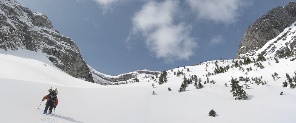 staggered up to the ridge to a view that was great, as opposed
to
stupendous. Of course, the view towards
staggered up to the ridge to a view that was great, as opposed
to
stupendous. Of course, the view towards
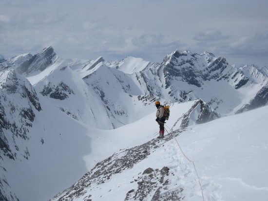
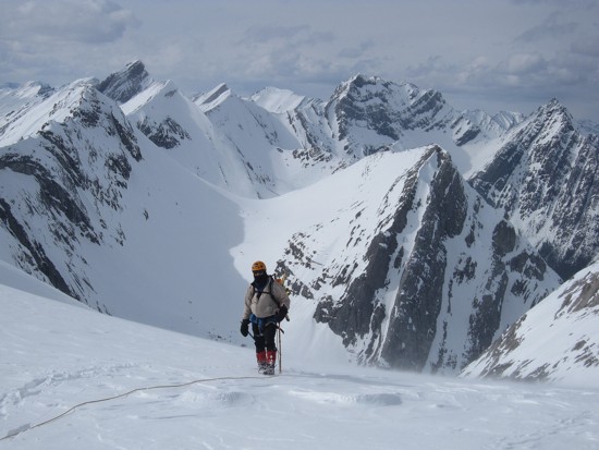
Naturally, the view in one direction was still blocked by the final section of ridge to the summit. Unfortunately that section looked pretty nasty: heavily corniced and very exposed. We had brought along an all-too-short 30 m rope, but viciously cold weather, the lateness of the day, and less than perfectly clear skies promoted us to retreat after a brief attempt to negotiate the narrow ridge.
The first part of the descent was
magnificent. We plunge-stepped
down the ramp at a very brisk pace. What took almost 5 hours to ascend,
we
descended in 1 hour. Throughout we talked about when we were going to
try to reach the
summit again - by the time we reached the car, we had both vehemently
swore to
never return, as least not on snowshoes! Isothermal snow ensured our
descent of
Turbulent Creek would actually take longer than ascending it and the
mind-numbing
almost 2 hour walk across
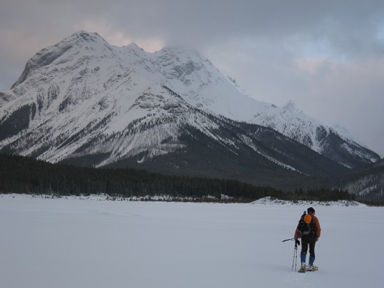
Crossing Spray Lake, with Cone Mountain ahead; it looked way better in February
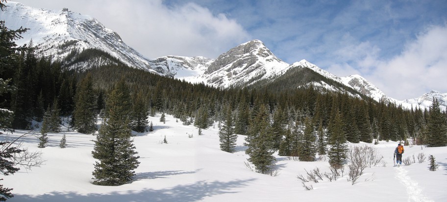
Easy travel in Turbulent Creek
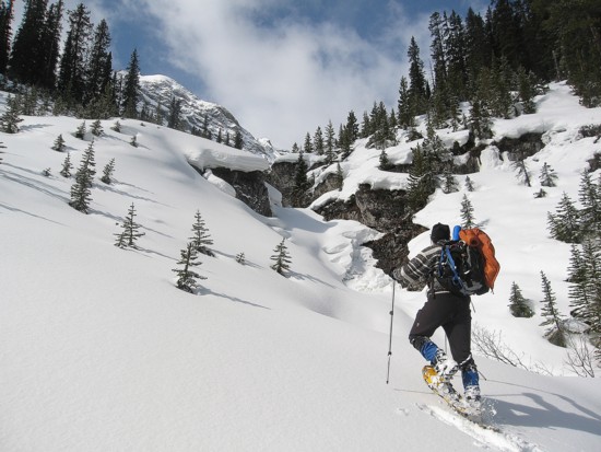
In the side drainage
Out of the drainage
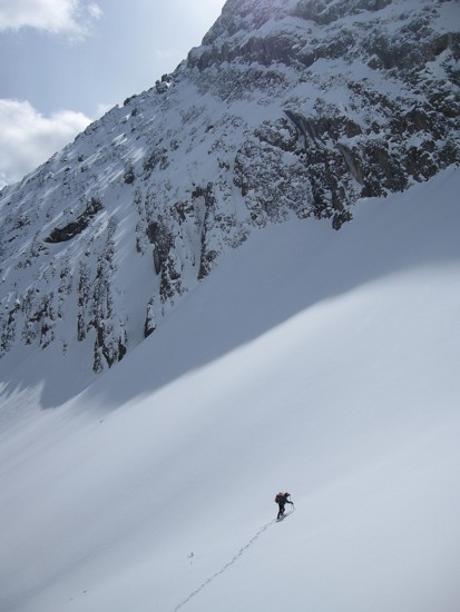
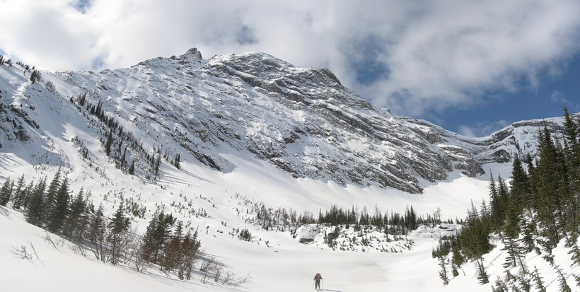
The approach to the ascent ramp
Lots of avalanche debris in the valley
Same as above
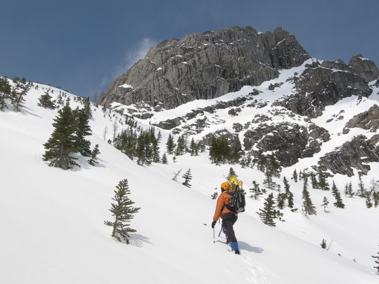
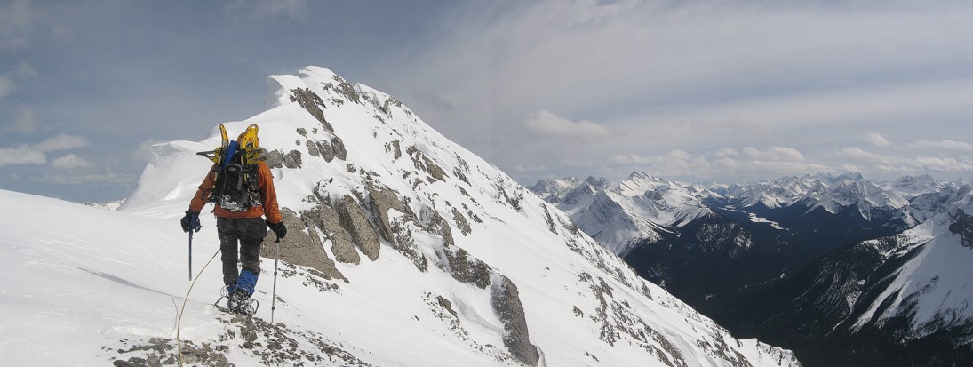
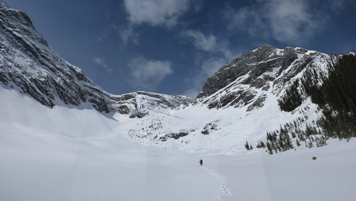
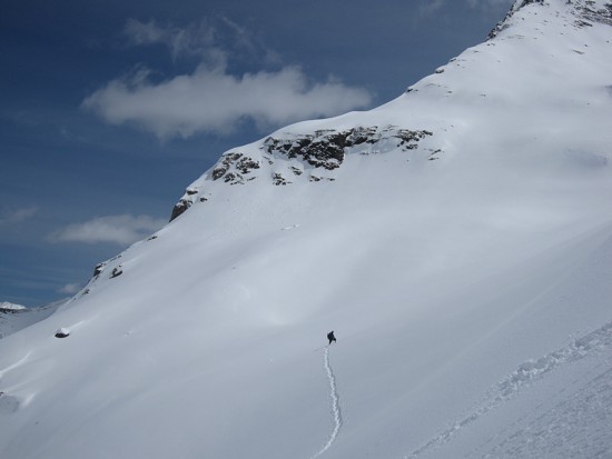
Starting up the main part of the ascent
Same as above; the terrain here was deceivingly steep
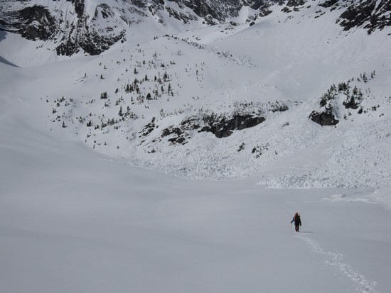
One of innumerable outliers of Cone
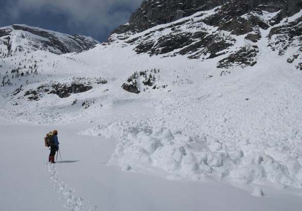
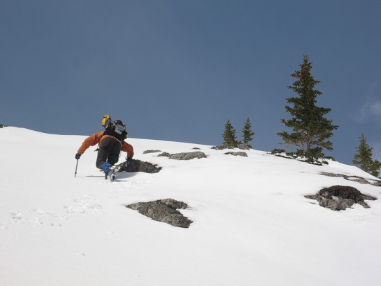
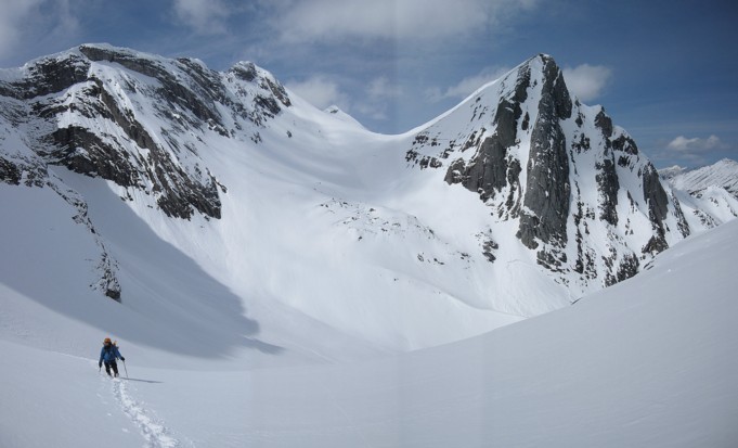
Approaching the ramp
Traversing onto less steep slopes in the middle of the ramp
Going up the ramp
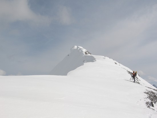
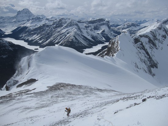
On the upper ridge, looking north
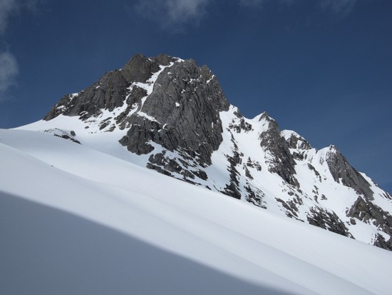
The summit ridge
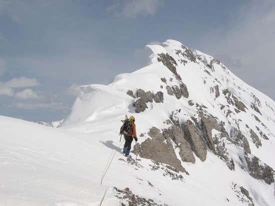
Attempting to traverse the summit ridge
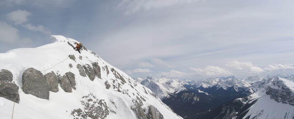
As far as we got
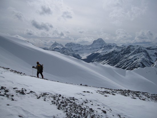
Retreat; Assiniboine at the far left
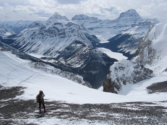
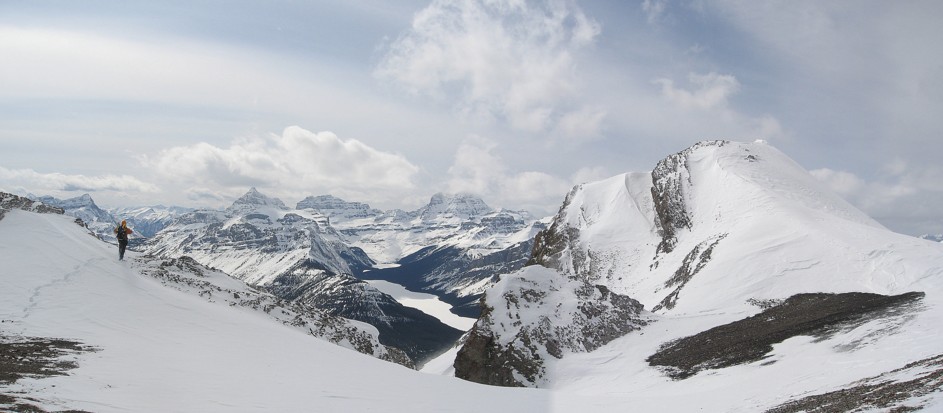
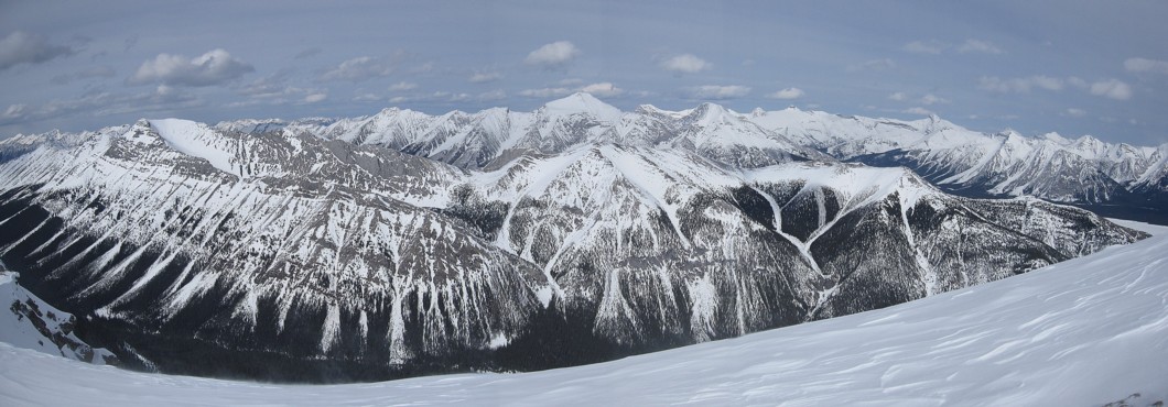
The view we came to see, minus blue skies
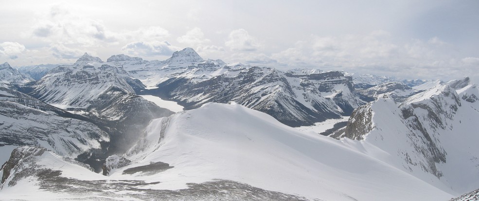
Same as above
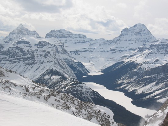
Eon, Aye, and Assiniboine above Marvel Lake
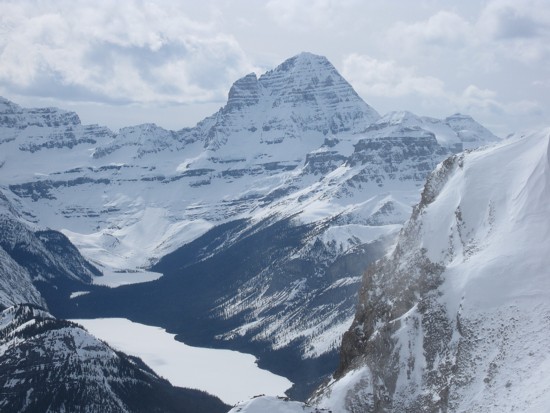
A closer look at Assiniboine
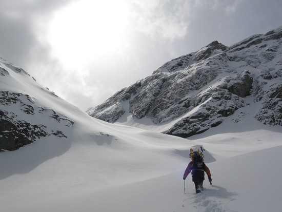
Preparing to descend
In the foreground, the long ridge from Fortune to Fortulent to Turbulent; Old Goat in the centre
A last look at Assiniboine