Dundy Peak

Mountain height: 2480 m
Elevation gain: 1025 m
Ascent time: 3:25
Descent time: ?
Solo scramble.
I
originally, and of course unofficially, dubbed this mountain “Clougarvan Peak”, given its
location between Cloudy Ridge and Mount Dungarvan. Upon retrospect, however,
“Dundy Peak” seemed to be a more user friendly title, so let’s go with that!
In addition
to changing the name, I decided to take a totally different route. My attempted
route via Red Canyon failed as a scramble and so I set off, up my other
favourite creek in Waterton, Lost Horse Creek. Lost Horse Creek is yet another
one of the innumerable geological marvels of Waterton National Park. If you
have enjoyed the fascinating and fun trip up Red Rock Canyon, its easterly twin
is a must-do.
I made slow
progress up the creek (there are too many awesome scenes of incredibly
colourful water-worn rock to ignore!) and then started up the south ridge of
Dundy. Travel up to treeline was easy and relatively fast. The scrambling then
started, and although not as exciting as the south ridge of Mount Dungarvan,
there was enough hands-on scrambling and interesting route-finding challenges
to keep me on my toes.
The only
real challenge was the near vertical band of rock that lines many of the
mountains of the massif. Thankfully, after a little searching I did find a
weakness that offered a steep and somewhat exposed, but short route up through
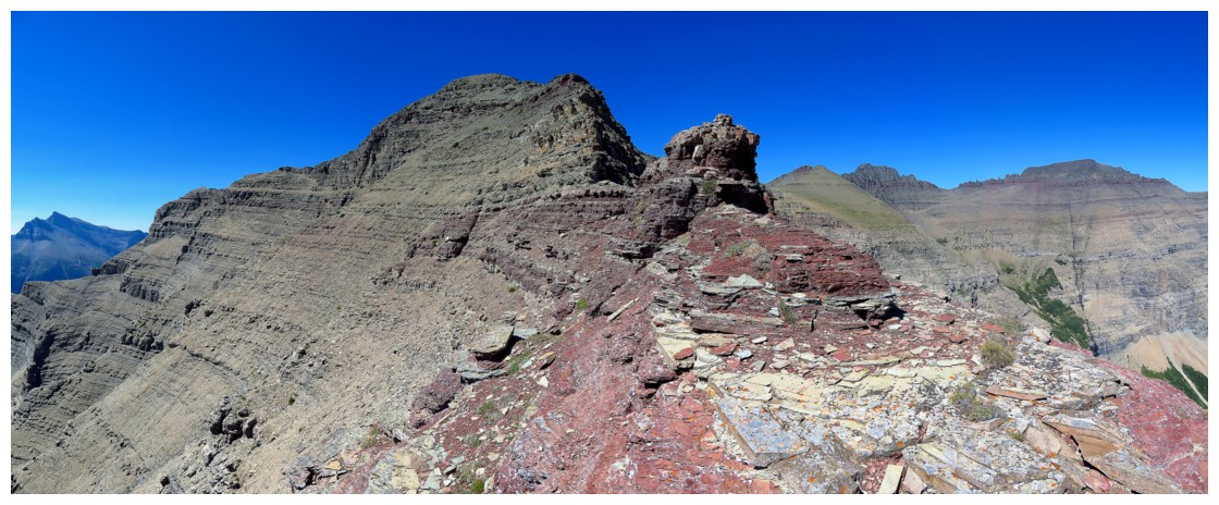
the band. Much easier terrain led to a false summit, with a terrific view of
the true summit and surrounding peaks. The true summit was reached shortly
after.
The descent
was as interesting as the ascent. I decided to look for an alternate route down
by traversing towards Mount Dungarvan. Once again, a little route-finding and
some back tracking were needed, but the terrain was never too tricky as long as
I searched for the easiest path. I was surprised to discover that a complete
traverse over to Dungarvan seemed quite possible and for a little while I was
tempted. However, finding a safe down through the aforementioned rock band was
the first order of business and therefore I abandoned the idea of a full traverse.
The search
was a short one. Not only was there a weakness through the significant rock
band, but a section of it had been completely filled in with scree and rubble –
it was a simple walk down! The remainder
of the descent featured a small green oasis, in the middle of the stark rock
scenery, with some very colourful berries, the enjoyable boulder hop back down
to Lost Horse Creek and of course the return journey down the creek (even
better later in the day when the Sun reaches the canyon.
An extremely
rewarding day and route in perhaps my favourite area of Waterton National Park.