May 24, 2010
Mountain height:
2566
m
Elevation gain:
1200
m
Ascent time:
5:00
Descent time:
3:00
Snowshoeing with Mark.
With summer fast
approaching, this would be our last chance to make an attempt, while
some snow
remained at higher elevations.
As it turned out, our timing was
pretty good. The trail to
At this point it was apparent our route was a little different from Josée’s. Gaining the south ridge required a short, but steep ascent of an avalanche slope. Atop the slope the already terrific scenery really opened up, with good views of Mounts Stephen, Cathedral, and Wapta.
At the false summit, we traded snowshoes for crampons, ice axe, and a rope and continued north towards the summit. The summit ridge was definitely the highlight of the ascent – a pleasant combination of easy ridgewalking and interesting rock scenery. From the summit, we enjoyed good views of The Presidents, Carnarvon, and two unofficial GR’s north of Emerald – Top Hat and Car Mar.
Although throughout the ascent we had
vowed to return via we
came, the lure of the avalanche slide path, as described by in Chic
Scott’s Summits and Icefields,
was too great.
The path appeared to offer a very direct route to
Once down the steepest section of the
descent, we opted to
detour to the east to check another highpoint. I wanted to get a good
look at
the ascent route for The Presidents via
Plunge-stepping down the avalanche path was easy and fun. Unfortunately, all too soon, the snow gave way to rock and grass. While the remainder of the descent was also easy, it was, at times, tedious. With snow from top to bottom, this descent would have been magnificent. Nevertheless, it was still considerably faster and easier than returning via our ascent route.
An excellent day on a little peak that definitely deserves more attention. A big thanks to Josee, Fab, and Eve for providing inspiration and the route.
Hamilton Falls
Mount Vaux appears through the trees

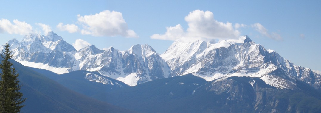
The Goodsirs (left) and Vaux (right)
Peaks to the southwest; not sure what they are
The Goodsirs again
Shale - the brittle staple of many mountains in the area
At the highpoint above Hamilton Lake; Mount Carnarvon behind; the small, distinctive peak at the peak is unofficially called Top Hat
Ascending steep slopes to the south ridge
The south ridge
At the false summit
Emerald Lake far below
Looking back to the false summit
Taking a break, before bringing out the heavy artillery
The second half of the ridgewalk/climb to the summit
Mark leads the most interesting section of the ascent
I follow
Looking back at the route
The hanging glacier on The Presidents
A good reason why you shouldn't photograph people when they're eating
The summit view
Heading back
Trying to find a place to descend into the bowl below
Mark leads the way down
Looking back at the route we took
Traversing over to the east ridge
On the east ridge
The Presidents
Mount Stephen to the right
Descending the avalanche slope
The obvious reason why Emerald Lake received its name