Mount Erris
July 7, 2017
Mountain
height: 2820 m
Elevation gain: 1150 m
Ascent time: 4:25
Descent
time: 2:35
Solo
scramble.
 Erris
mountain was for me a sobering reminder that I am no longer 33 - my age when I
completed my first mountain ascent.....or 38 or 43 or even 48 for that matter!
Gone are the days when a months' absence from the mountains would be physically
inconsequential.
Erris
mountain was for me a sobering reminder that I am no longer 33 - my age when I
completed my first mountain ascent.....or 38 or 43 or even 48 for that matter!
Gone are the days when a months' absence from the mountains would be physically
inconsequential.
This
mountain, plain and simple, kicked my butt! I have struggled on a fair number
of mountains over the years, but never in a way that I struggled up Erris:
completely out of breath every minute or so and unable to continue without
extended rests between. I honestly felt as though I had aged 20 years in
the 1 month during which I was unable to make it out to the mountains.
Nevertheless,
even with the “downer” introduction, here are some of the details of the trip.
I was inspired to try Erris after reading Cornelius' excellent trip report from
the previous summer. My goal was to follow his descent route (Rick Collier's
ascent route) up Erris' east ridge. Unfortunately, this would prove to be more
difficult for me than expected.
I
started by following the wrong trail for 30 minutes. Another 30 minutes later I
was back at my car looking for other trails. A wide, old logging road looked
promising and it was for some time. However, I never did find the zig-zag of
other logging roads, described by Mr. Collier, that led to the east ridge.
Instead, I found a gruesome and lengthy bushwhack up steep forested slopes. Of
course the logging roads were there somewhere, as Cornelius had made it from
summit to car with only a short stint of bushwhacking - I was just unable to
find the easier path.
Once
out of the trees I hoped things would improve. They certainly did in regards to
the scenery and the interest of the ascent route. But, as stated, I struggled
physically the whole way up. In fact, on numerous occasions I considered
turning around, simply because I was exhausted - on a less than strenuous
ascent with perfect weather, that was an
extremely bizarre situation to be in.
Two
things kept me going: the hope that I would be able to find the easier descent
route on return and the orange Fanta in my backpack that I would only consume at the
summit!
After
what seemed like a billion years of stopping and starting up the mountain I arrived at the summit. The view was excellent
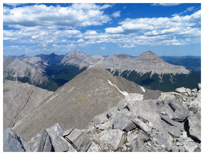
and the soda pop even better! Tornado Mountain and Gould Dome were the
highlights of the view. Much of Cornelius' ascent route was visible and it
looked pretty darn tricky - kudos to him for soloing up it.
Thank
goodness the soda pop was so enjoyable because my descent wasn't. Once again I
was unable to find the easiest path down and found myself bashing through
thick bush - at least it was downhill this time!
I
did eventually find a good logging road to follow and was back at the start
shortly after.
Mount
Erris is certainly a worthwhile trip - I guess it just wasn't my day!
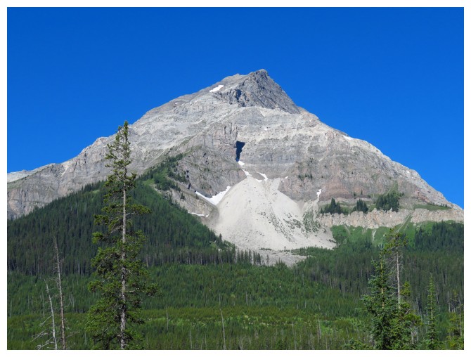
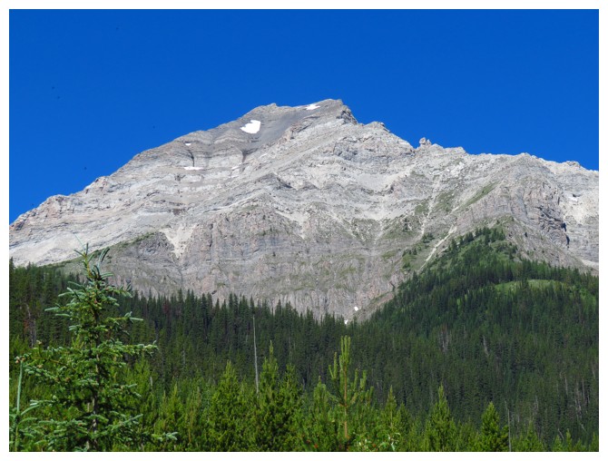
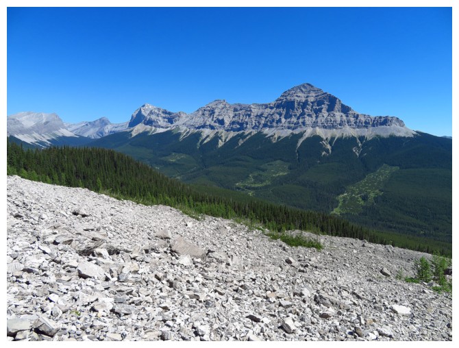
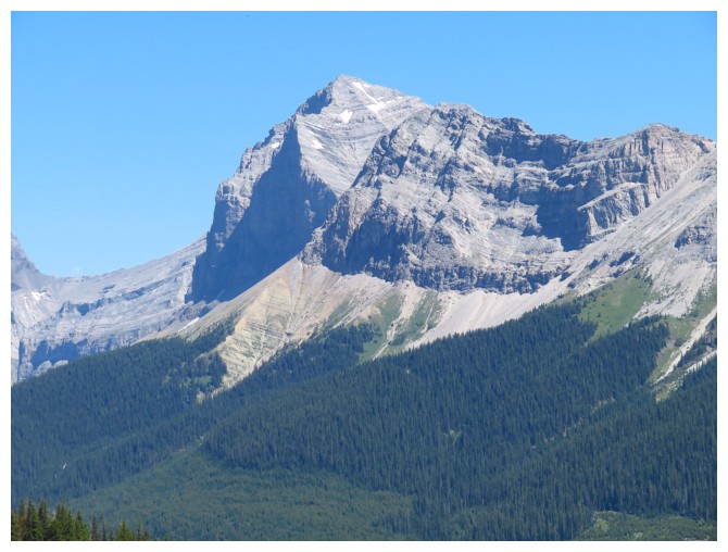
 The objective
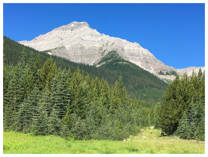
The objective when I finally got onto the correct (?) logging road
There seems to be some significant bush between me and the ascent slopes at this point
Almost through the nightmarish bushwhack
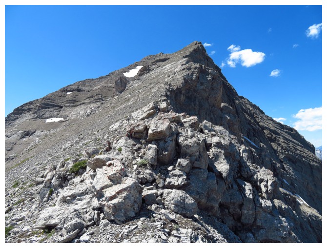
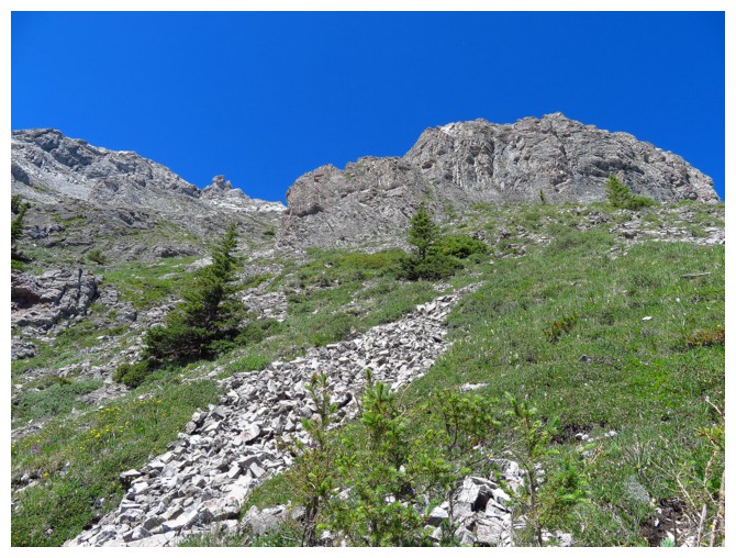
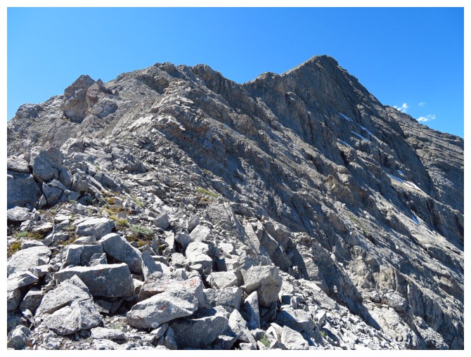
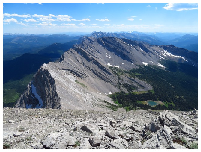
The route I took goes over to the left side and then more or less follows the ridge from left to right
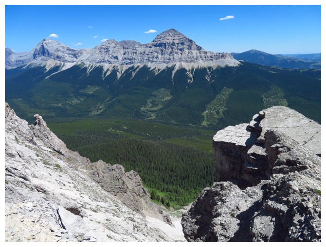
Gould Dome was a constant companion throughout
Tornado Mountain peeks out from behind the north section of Gould Dome
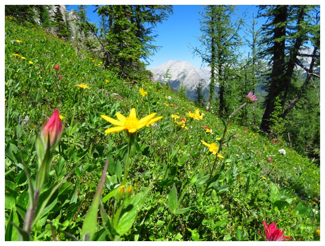
Photographing the flowers as an excuse to stop to try to catch my breath
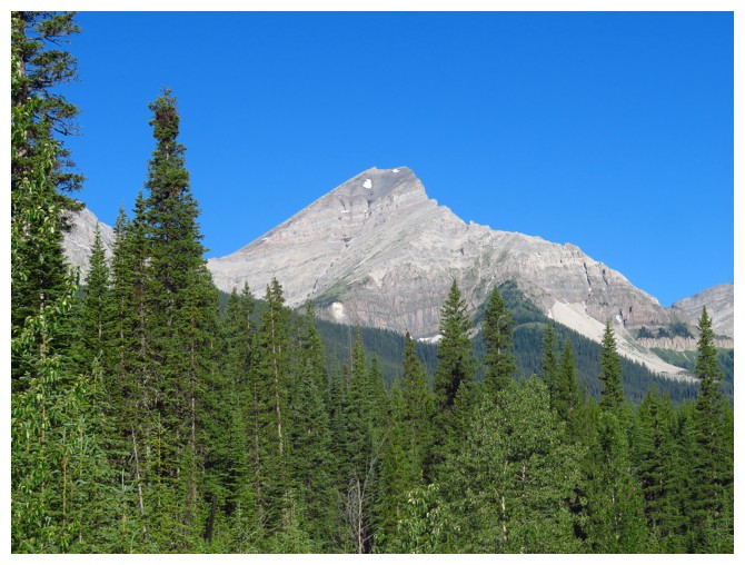
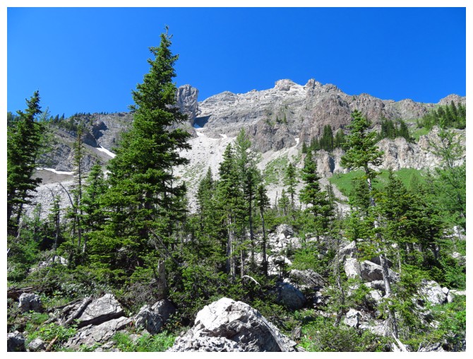
Typical terrain on the lower slopes
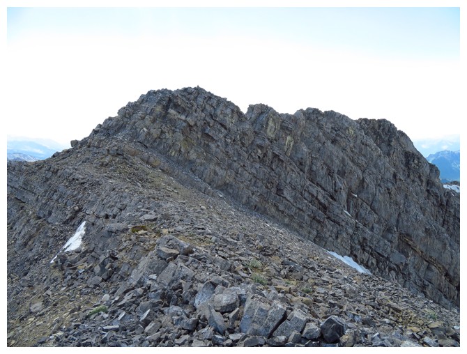
As stated, the mountain had plenty of interesting features
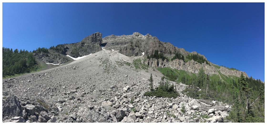
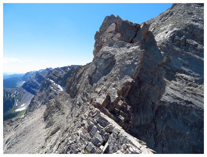
The route looked easy from here.....
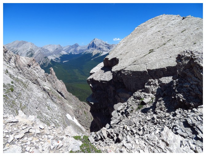
...until I arrived at this and had to circumvent it. Severe exposure on the right side
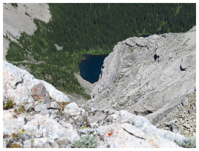
A lake. Good, I can stop to photograph it!
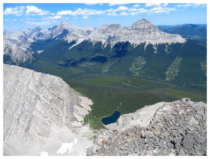
Better get the WHOLE lake in !
The final 100 m of the ascent, finally!
The summit view to the north
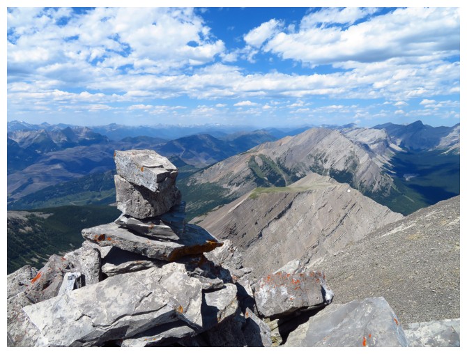
The summit cairn
The summit view to the south
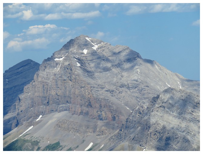
Tornado Mountain
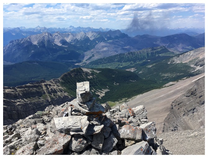
Parting summit view, before a less than easy descent