Gibraltar
Mountain
via Mist Ridge (scramble route)
–
Mountain height:
2,665 m (8,741 ft)
Elevation gain:
North summit of Mist Ridge: 1,012 m
Mist Ridge to
Overall elevation gain: approx. 2,000 m
Ascent time:
North summit of Mist Ridge:
4:00
Mist Ridge to
Descent time:
Mist Ridge to car:
Roundtrip time:
Roundtrip distance:
approx. 30 km
Scrambling with Kevin Barton.
It took Bill Davidson and
Jim White 8½ days to ascend the 700 vertical metre north face of
The planned route, a 12 km
hike to the summit of Mist Ridge, followed by a scramble up the west slopes of
The 4 hour journey to the
north summit was thoroughly enjoyable in the perfect weather conditions. It’s
only downside – a significant elevation loss right after the south summit. I
knew that re-ascending this terrain on return would be quite trying. We
therefore agreed that if possible, we would drop down to Mist Creek before we
arrived at that point and hike out that way. After a short break at the north
summit of Mist Ridge, we embarked on a second major elevation loss of
approximately 300 vertical metres, down to the col between the ridge and
5 hours into the trip, we
finally stepped onto the slopes of
We hit the summit exactly 8 hours after leaving the car. The panorama was fantastic and as well as nearby Mist, Storm, Rae, and Burns, included far-reaching views north, up the Sheep River, and also south, towards peaks of the Continental Divide. The downclimb and traverse to the lower east summit looked especially intriguing and I wish we had had more daylight to explore that option. To our surprise, the register revealed that we were only the sixth party to summit since 1995. This scenic, interesting, and rewarding trip definitely deserves more attention than that!
Actually, after completing
the return trip, I can perhaps see why
We arrived back at the car
just after

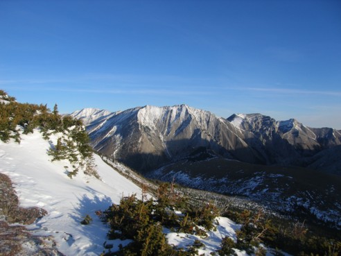
A first look at our destination; the mountain is divided into two sections - the east summit (right of centre) has the vertical 700 m rock face; the west summit and highest point (centre) can be easily ascended via the left skyline
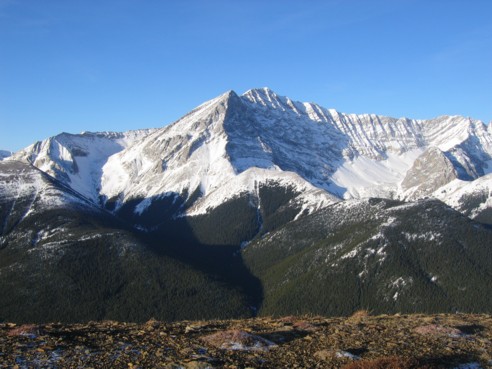
Mist Mountain; the south route ascends the gully on the left and then continues to the summit
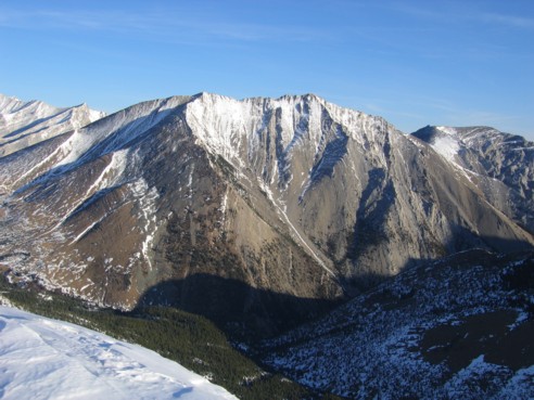
A closer look at Gibraltar Mountain; contrary to most maps that show the point at the left to be the highpoint, the true summit is at the right and marked with a survey marker; a very enjoyable ridgewalk joins the two points
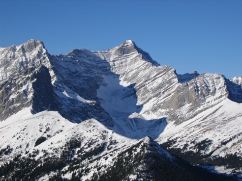
A magnificent view of the east face of Storm Mountain; doesn't that east ridge look tempting (and terrifying!)
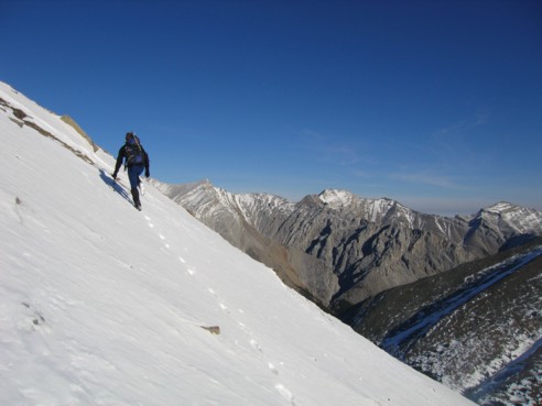
Kevin, traversing snow slopes, as we descend to the lowpoint between the north summit of Mist Ridge and Gibraltar Mountain
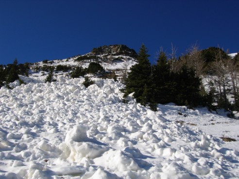
Looking back at avalanche debris and the route towards Mist Ridge
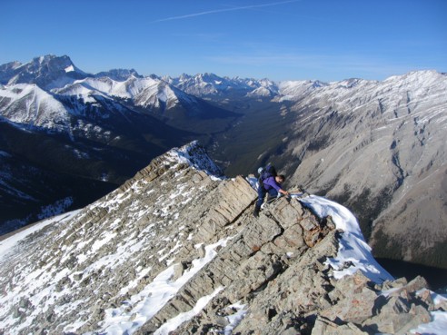
Kevin, negotiating fun and interesting terrain along the west ridge of Gibraltar Mountain; Mount Rae can be seen at the left
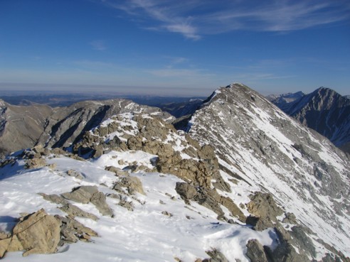
Looking along the ridge to the summit; unseen are the many diagonal rock fins and formations that add challenge to the traverse
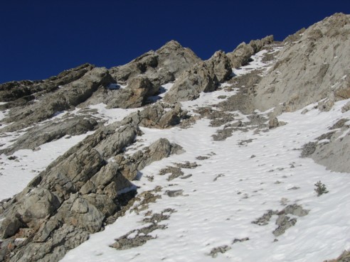
Some of the aforementioned rock formations; this is where we descended a fair distance to bypass the more difficult ones
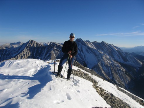
Kevin at the summit
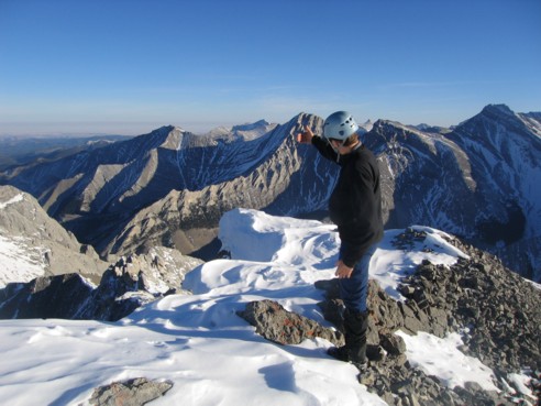
Kevin, pointing out some of the many highlights of the summit panorama
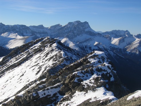
Looking back along the west ridge; Mount Rae in the centre
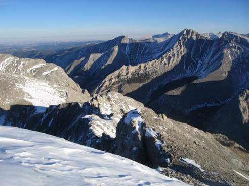
Some of the numerous unnamed peaks of the Highwood Range