Haig Ridge II
 September 14, 2013
Mountain height: 2186 m
Elevation gain: 770 m
Roundtrip time: approximately 4.5
hours
Solo scramble.
Seven years after reaching the summits of Mount Haig and Gravestafel
Peak with Mark, using a steep, bushwhacking and circuitous route via Haig
Ridge, I set out to see if there was an easier route up to the ridge. Recent
development at the Castle Mountain Ski Resort was a good indication that an
easy hiking route may now exist.
And it did! A generally gently graded road led to an upper chairlift and
from there a more steeply angled and very rocky road to point near the ridge.
Route-finding from the end of the road to the summit turned out to be very
easy, with terrific views along the way. Mission accomplished!
With time and energy levels on my side, I decided to make a quick visit
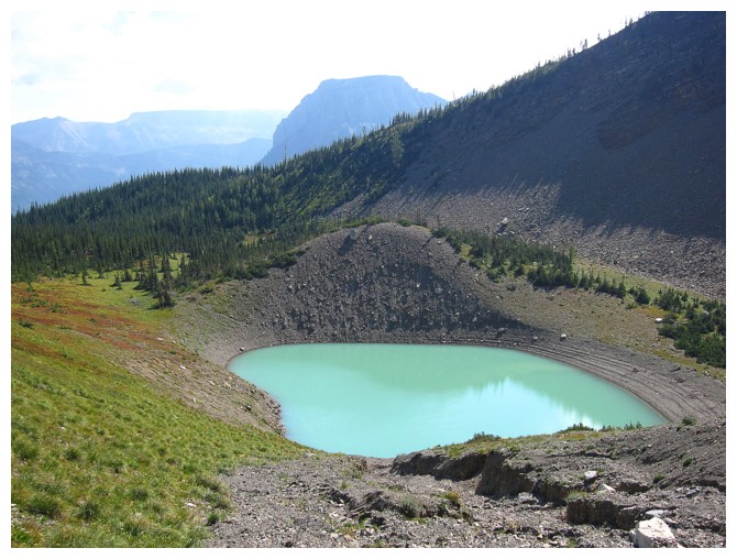
down to what is now called Paradise Lake, nestled under the east face of Mount
Haig. This side trip was expectedly awesome, down a classic, Castle gully of
colourful rock, to the milky turquoise waters of the small lake, and then back
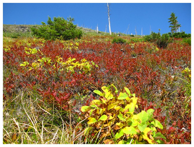
up to Haig Ridge via a slightly different route, featuring stunning fall colours
of vegetation. Once back on Haig Ridge an easy hike ended a very scenic, enjoyable,
and productive little trip.
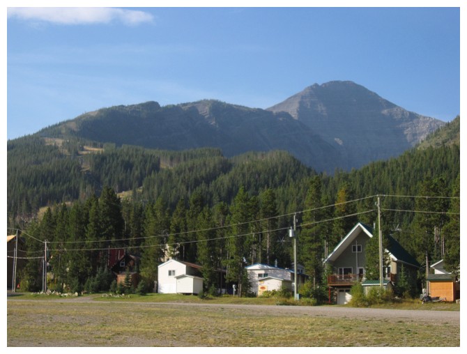
Haig Ridge and Mount Haig from the Castle Mountain Ski resort parking lot
Above treeline, Mount Syncline is visible to the north
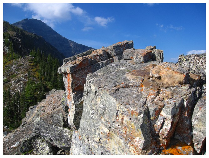
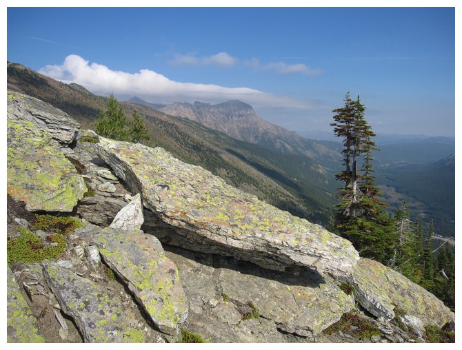
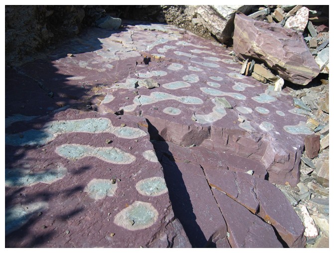
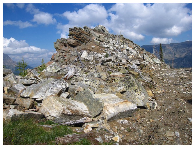
A little diversion to check out the lichen covered rock on the ridge
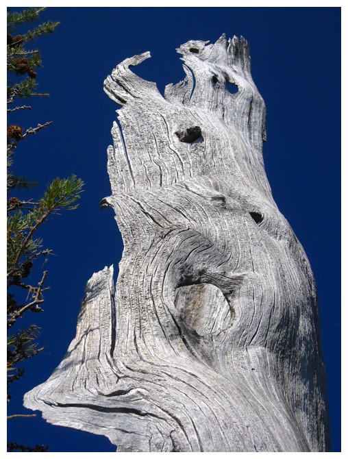
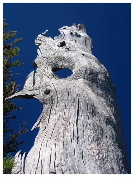
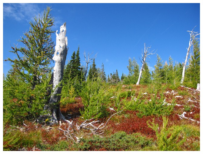
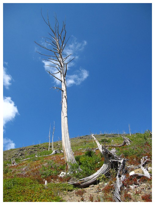
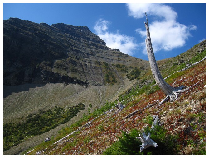
A dead tree doing a couple of great imitations bird heads
Two weeks later and the larches would be yellow
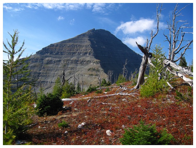
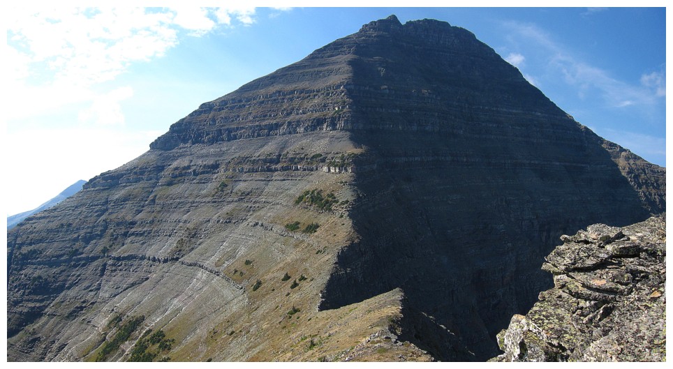
Mount Haig makes its grand appearance
St. Eloi can also be seen to the north
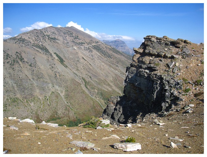
Gravenstafel Peak
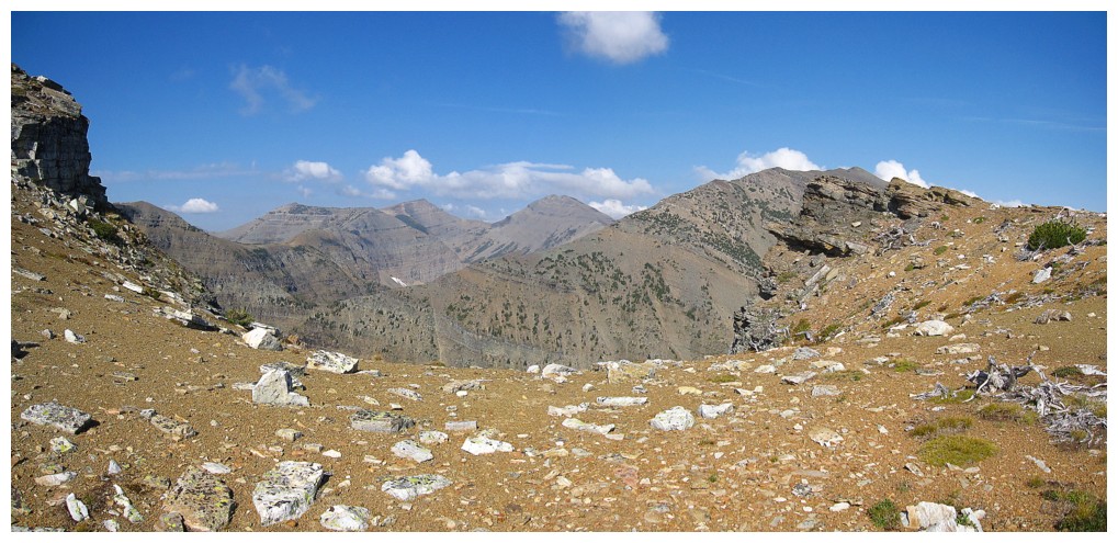
Summit view of the northeast ridge of Haig. Unfortunately, one steep rock band takes the route out of the realm of scrambling.
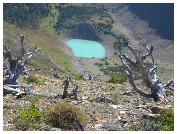
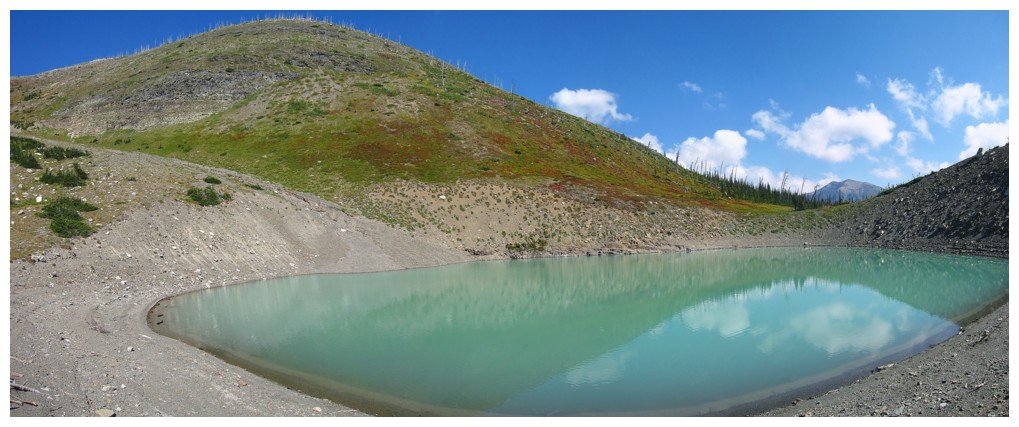
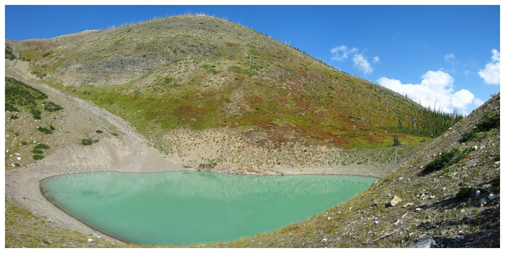
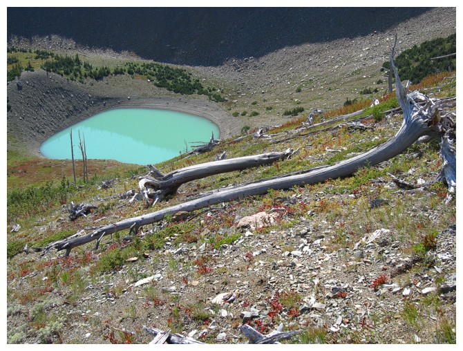
Paradise Lake on the south side of Haig Ridge
Haig Lake on the north side
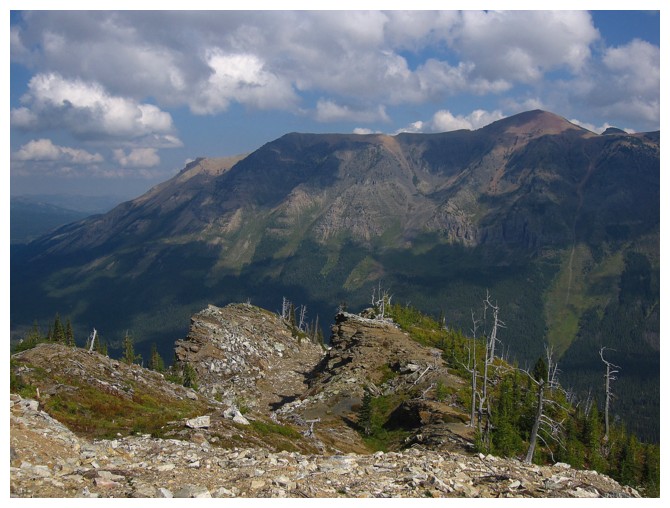
Rainy Ridge in the centre
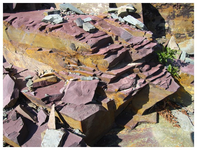
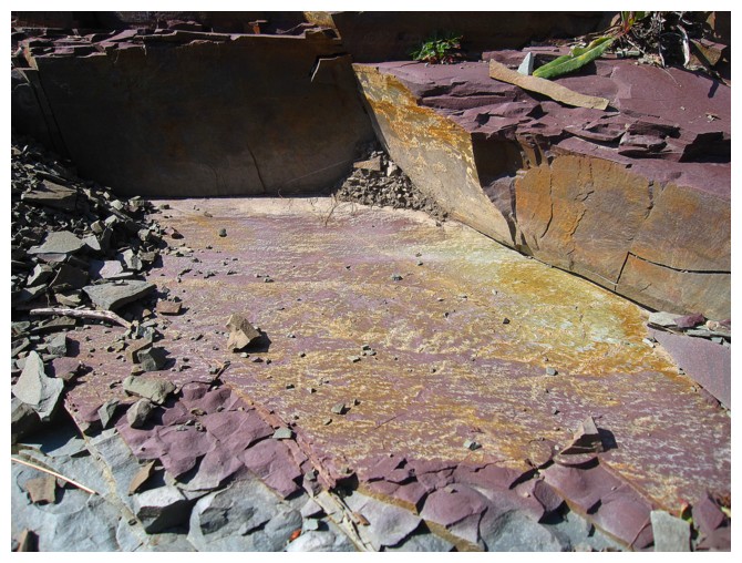
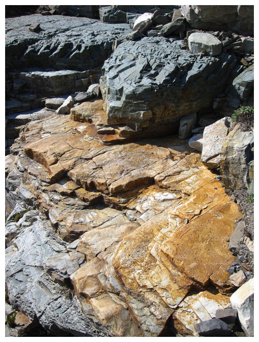
Wicked rock on the descent to Paradise Lake
 \
\
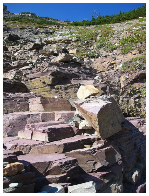
The steppy gully that is super fun to descend and ascend
Almost there
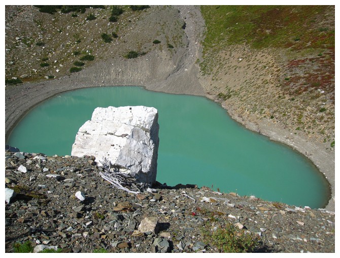
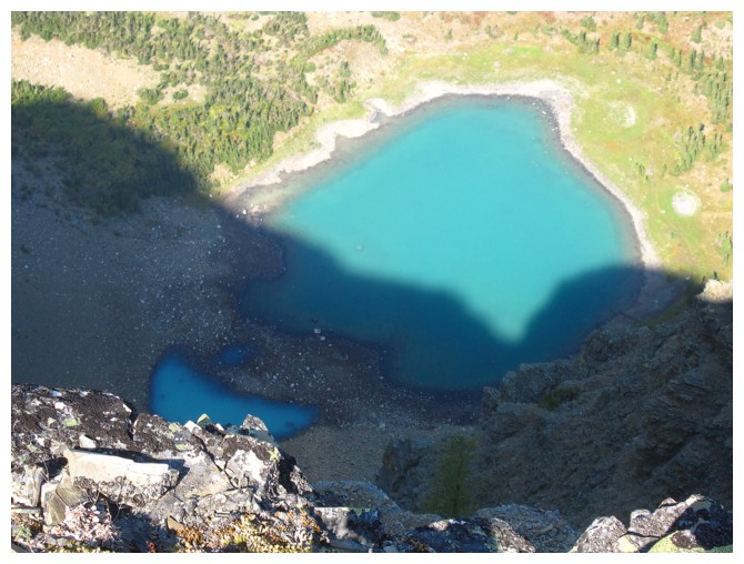
A circumnavigation of the lake is almost mandatory once you are there
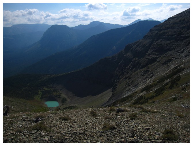
Looking back up to Haig Ridge
Heading back up via a slightly different route
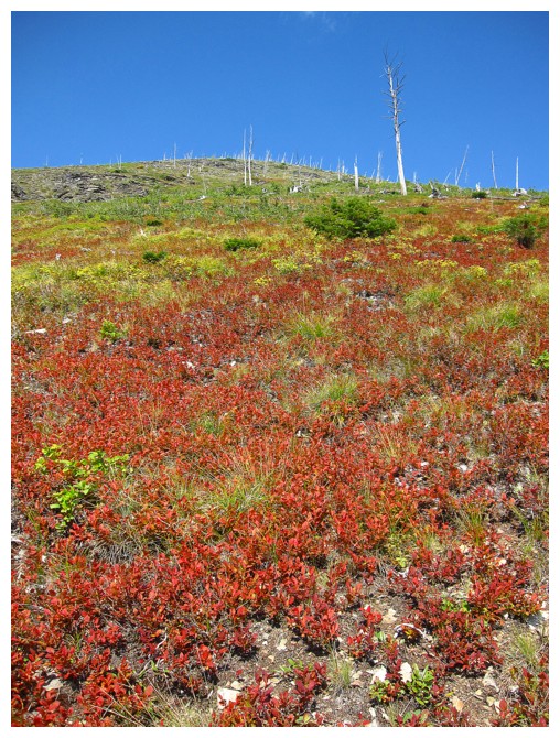
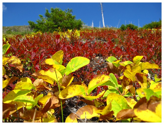
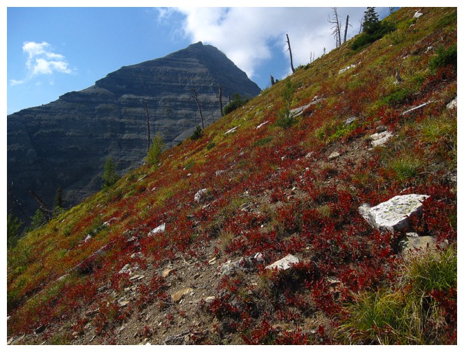
The colourful vegatation
And your classic, Castle trees
The east face of Haig looks pretty intimidating from this angle
A nostalgic look (similar view to our first ascent) at Haig
Back on the trail
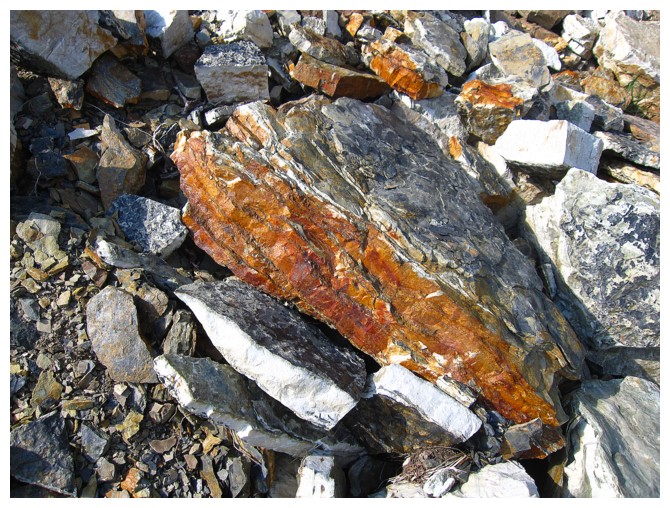
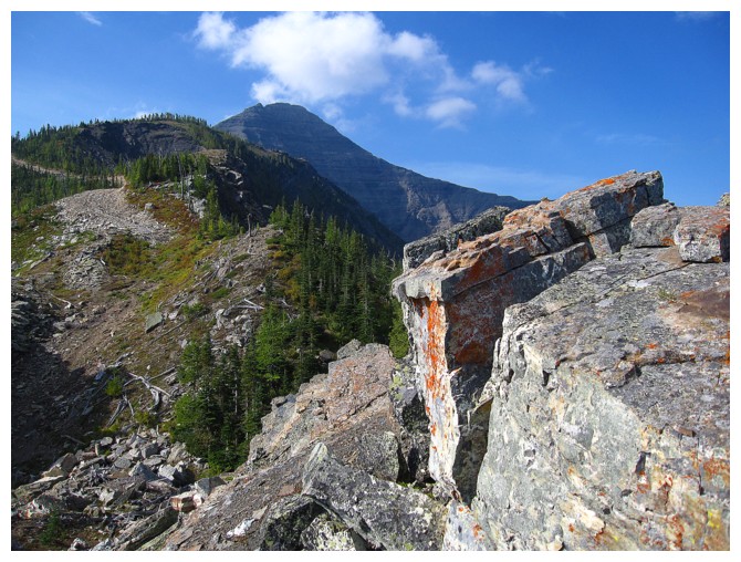
Three cheers for oxidation!
The End