Hillcrest Mountain
January
6, 2012
Mountain
height: 2155
m
Elevation gain: 680m
Ascent time: 2:35
Descent
time: 1:00
Solo
hike.
After
seeing a terrific view of The Flathead Range from Carbondale Hill,
several days
earlier, I was craving an even closer look. A quick perusal of some of
my
favourite websites revealed that Bob and Dinah had completed an ascent
of
Hillcrest Mountain, a peak lying about 11 km due east of the Flathead
Range and
immediately south of more well-known Turtle Mountain.
The
trip unfolded with surprising ease: a 20 minute hike along a good
logging road,
a 2 hour slog up the south ridge, and a very pleasant 15 minute hike to
the
summit.
Highlights
of the ascent were:
1. the
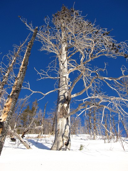
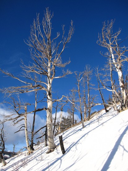
fascinating charred trees (remnants of the 2003 forest fire
that
ravaged
the area), rising from the pure white snow and naturally in front of a
blue sky;
2. the
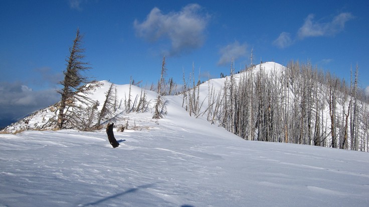
scenic upper ridge, windswept on the west side and snow-covered on the
east and;
3. the
unique view of Turtle Mountain (south side), and the devastation left
when part
of the mountain collapsed in 1904.
The
single disappointment was the heavy cloud cover to the west that ruined
the
very view I had come to see. Taking shelter from a strong wind and very
cold
temperatures, I waited to see if there was any chance of clearing,
however, the
weather started to further deteriorate as did my motivation to hang
around.
The
descent was great. Even taking a more circuitous route down the
southwest side
of the peak, it took barely an hour.
A
very easy and enjoyable trip.
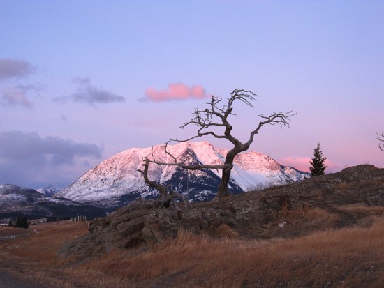
The Burmis Tree, with Turtle Mountain behind
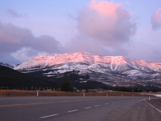
Hillcrest Mountain; the route ascends the south ridge (left side)
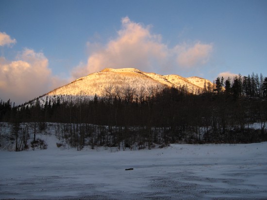
The objective from the parking area
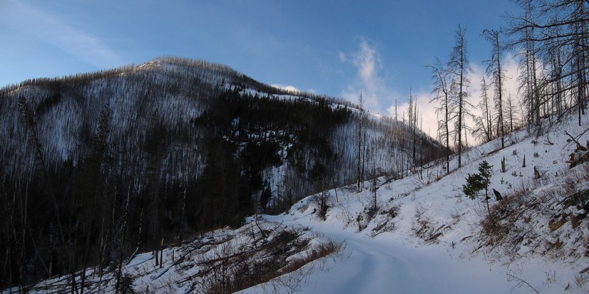
Hiking the good road to the base of the ridge
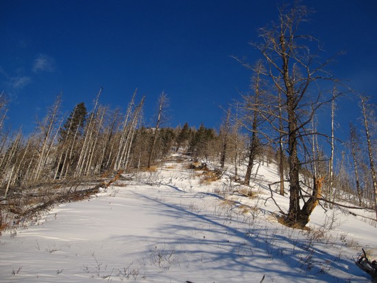
At the start of the south ridge
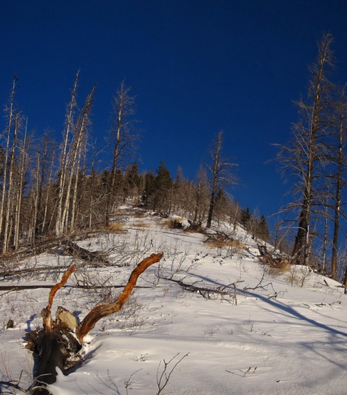
A colourful and odd looking tree stump resembling the skull and antler of a gazelle
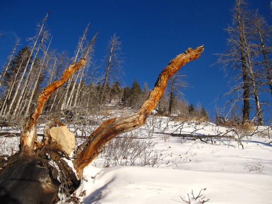
A closer look
Tree Scenery
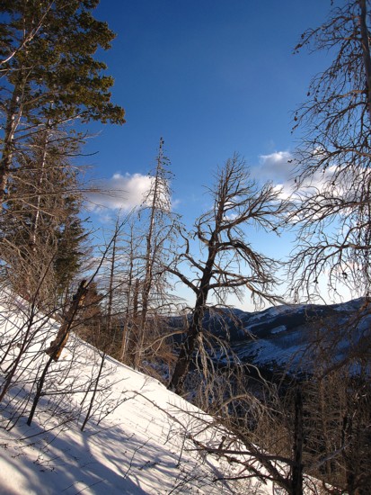
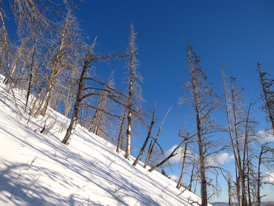
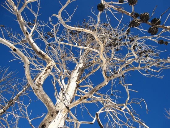
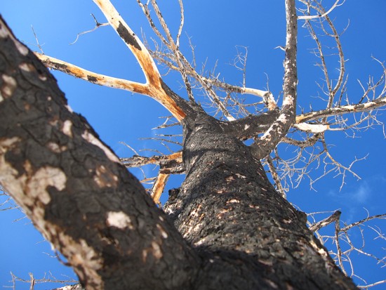
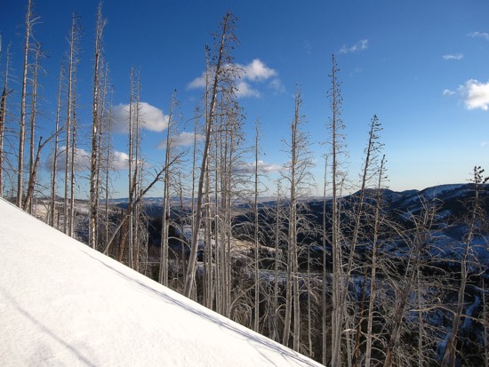
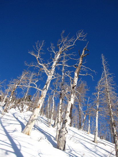
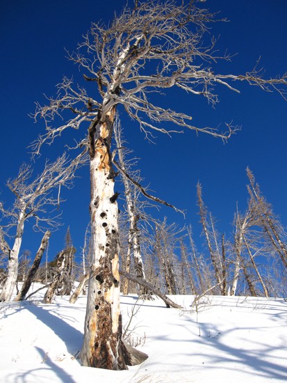
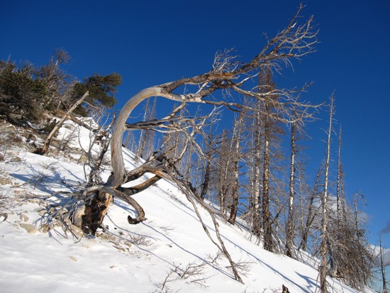
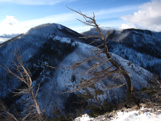
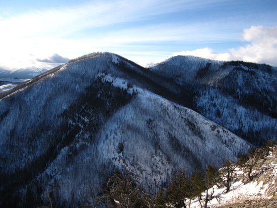
The hills to the south, with and without the tree scenery
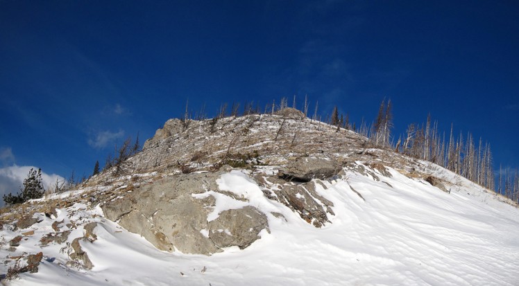
Onto rockier terrain
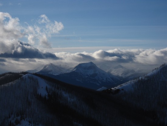
Two of the three summits of Syncline Mountain; the highest summit is in the centre
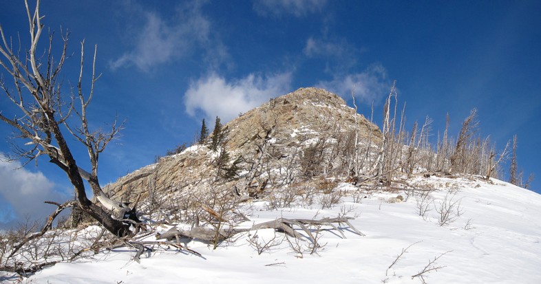
Approaching the rockband that gives access to the upper ridge
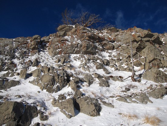
The rockband
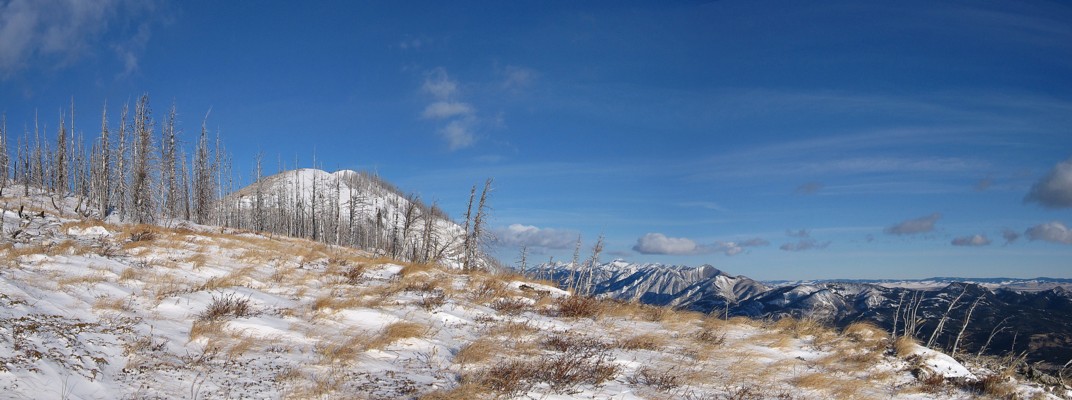
Above the band, looking north
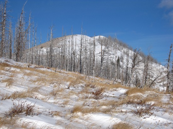
A close-up of the first section of the upper ridge
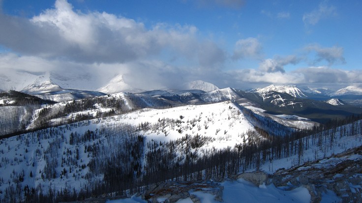
The interesting, but disappointing (on this day) view to the northwest
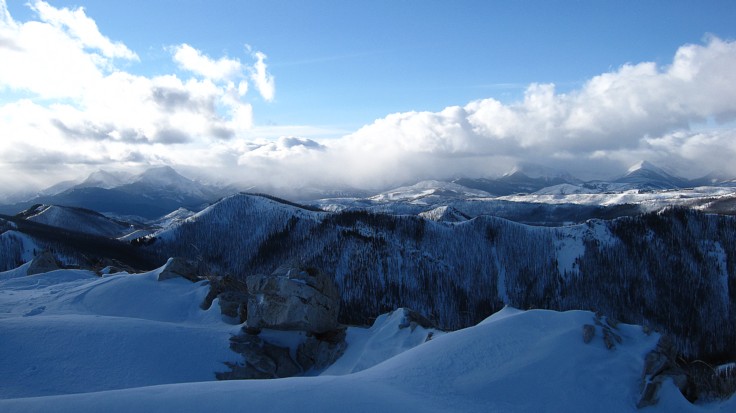
Same thing to the southwest
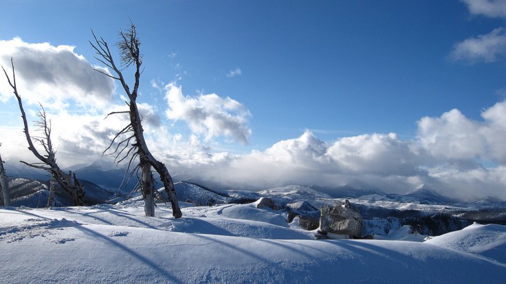
The snowy ridge and occasional stand of trees kept things interesting
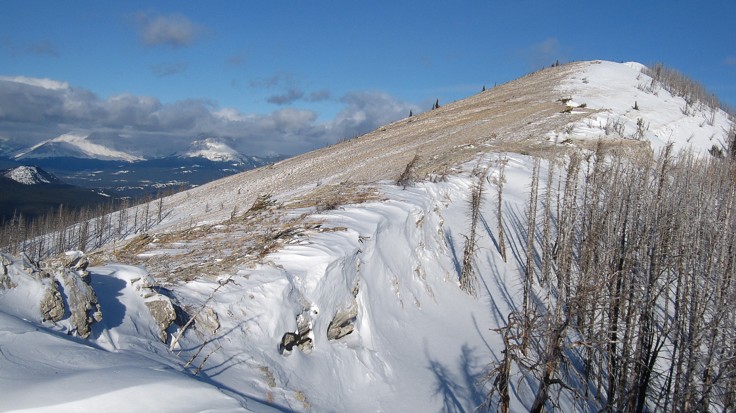
The windswept west side of the ridge
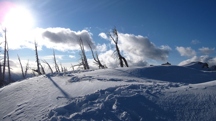
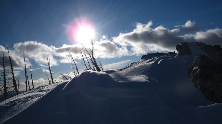
An odd angle shot, in tribute to "SOISTHEMAN"
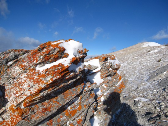
You can never get enough orange lichen on any mountain
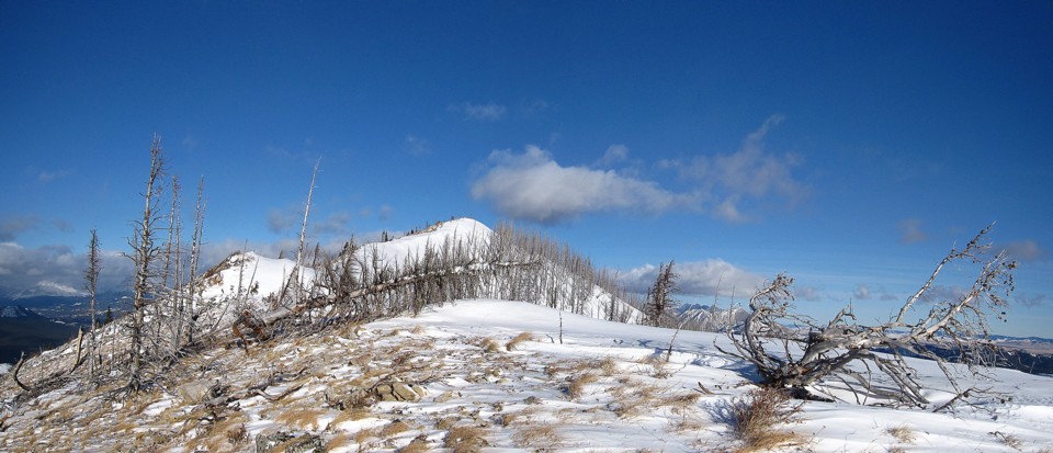
More of the pleasant ridge
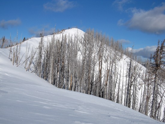
Same as above

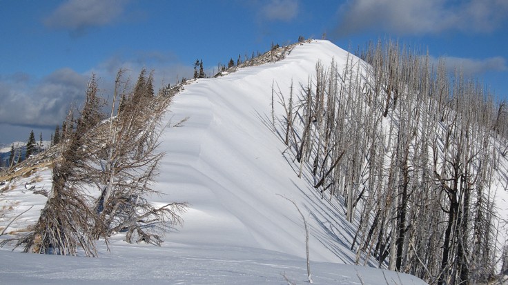
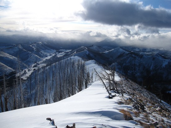
Looking back down the ridge
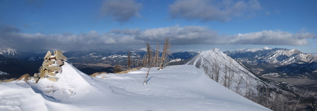
The summit cairn, with Turtle Mountain to the right
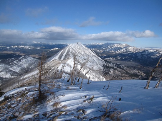
The south side of Turtle Mountain
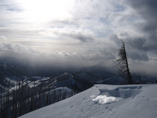
The weather deteriorates
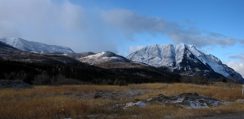
A parting shot of the north ridge of Hillcrest (left) and Turtle Mountain (right)
