“Icing On The Loaf Peak”
(“Frosting Peak”)
August 21, 2022
Mountain height: 2435 m
Elevation gain: 1000 m
Ascent
time: 5:10
Descent
time: 3:20
Scrambling and climbing
with Mark.
Calling this
little gem Unnamed at GR152-582 or Loaf NE simply won’t do. Over the years Dave
McMurray has given delightful and delicious, unofficial names to many of the highpoints
of massive Loaf Mountain: The Muffin, The Croissant, Bakery Peak, and Pastry
Peak. It would only be fitting for the highest point at the northeast end of
Loaf Mountain (one of the three highest points) to be honoured in such fashion.
 And
so after very little thought I decided to go with “Icing On The Loaf
Peak”,
since this peak really did feel like the “icing on the cake” of all the
Loaf
Mountain summits! Dave suggested “Frosting Peak” – a far less
cumbersome and cryptic title. Since he named and climbed all the
others, I am honoured
to apply both names😊
Having twice
failed to reach the apex of this elusive summit (2006 and 2019) and also having
talked about it endlessly to Mark, the peak had been simmering on our to-do
list for many years. With smoky conditions everywhere in the Rockies and cloudy
conditions everywhere except for the southern Rockies, we thought this would be
a good opportunity to attempt “Icing”. In light of the challenging terrain high
on the peak we brought with us a ton of climbing gear (and it really felt like a
ton in our backpacks!)
The trip started
with a 3 km bike ride to the second last gas well on the south side of Loaf
Mountain. 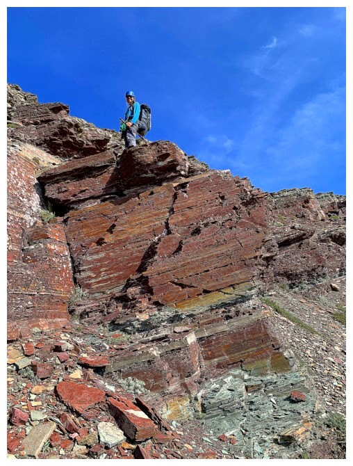 En route we decided to try an unfamiliar and direct route to the base
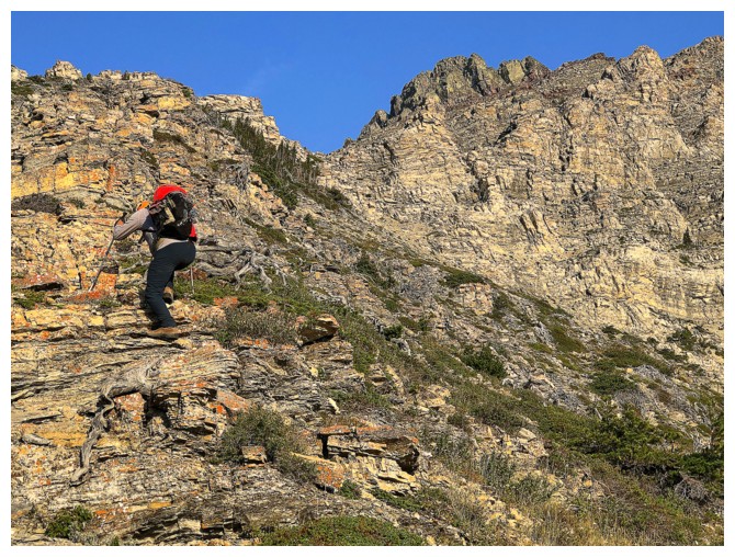
of the summit block, as opposed to using the awesome northwest ridge of Bakery Peak. The route started with steep scree and grassy slopes that eventually led
to what the south side of Loaf Mountain is famous for – famous to me, Mark, and
a handful of others, at least – amazing layers of colourful rock and great
scrambling.
We were making
good progress and having a fantastic time until we reached the infamous
limestone rock band. As is often the case with this specific layer of rock,
finding a weakness up and through can be a challenge. After going back and forth
across the base of the band several times, we did find a weakness, but it was
far from a walk up. I scrambled up it with a convenient “foot push” from Mark
and then belayed him up. We were not expecting to use the rope this low on the
mountain and of course ropework is always very time-consuming. This was a
little concerning.
Thankfully, we
were able to find good scrambling routes up the remainder of the ascent slope to the
base of the summit block. The route we took also fortuitously dumped us out below a very inviting gully
that appeared to bypass a section of severely exposed scrambling I had
completed in 2006. We geared up here and started up the climbing portion of the
ascent.
The gully was
fantastic! Mostly scrambling with a few easy climbing moves near the top. And
yes, it had taken us to a point beyond that unnerving section of scrambling. From
this point, in 2006 I had scrambled up to a notch on the left side, only to be repelled
by the sight of a rappel sling – that and serious climbing terrain ahead with
serious exposure. As such we decided to try the right side. And it worked, offering
much easier terrain, though still quite exposed.
We climbed this part
of the mountain in very small sections to reduce rope drag. Both Mark and I
expected to be thwarted at any given point. We would arrive at a section that seemed
impassable but then find a route up on either side up or straight up. The final
push to the summit involved easy climbing/scrambling but with nail-biting
exposure on both sides. We were extremely happy to have the rope and lots of opportunities
to place good protection.
Arriving at the
summit could not have been sweeter. We were both elated to be standing atop a
summit we had been thinking about for years and finding a route up within our skill
level. Our summit stay was short however, as in addition to be swarmed by an alarming
number of bugs, thunderstorm clouds were forming all around and a sudden boom
of thunder prompted us to leave immediately.
Again, having a
rope here was a godsend. We descended very slowly and although downclimbing
much of the terrain was a possibility, we opted for one short and one long
rappel. After trading climbing shoes for boots and putting away all the
climbing gear, we circled around the mountain to the aforementioned northwest
ridge of Bakery Peak, descended a section of it, and then took a direct route
down the south side of Loaf and right back to our bikes. 6 minutes and 3 km later we
were back at the car.
Although I have
now stood upon every significant highpoint of Loaf Mountain, the peak is sure
to see me again. It is in the Top 5 of my favourite mountains in the Rockies
and offers a seemingly limitless number of interesting routes to each of those
highpoints. Interestingly, Mark has stood upon all the mountain’s highpoint except
the true summit – a shortcoming that will be remedied on a perfect weather day,
someday.
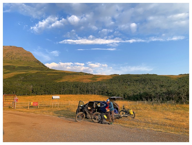
Gearing up at the start
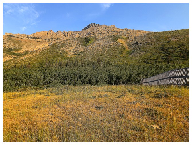
At the bottom of the ascent slope. We made our way over to the right skyline and then followed the ridge up.
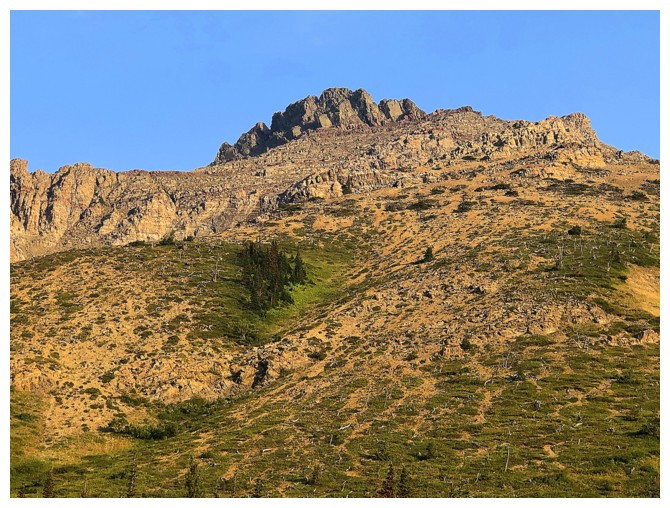
Closer look at the objective
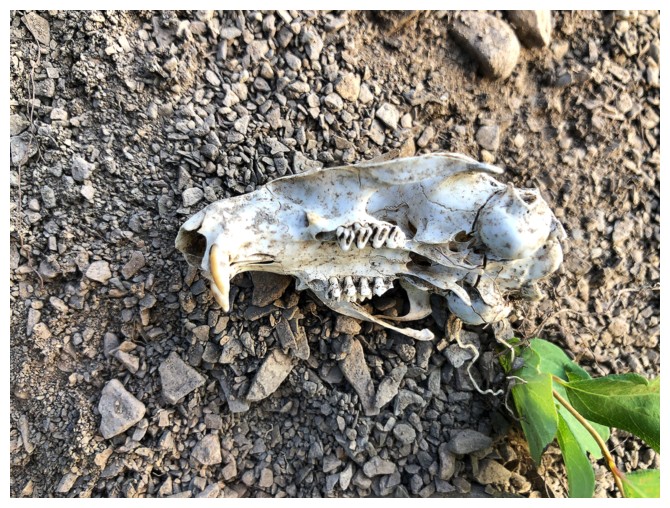
Chipmunk skull?
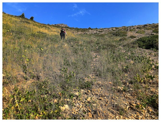
The lower slopes are much steeper than they appear
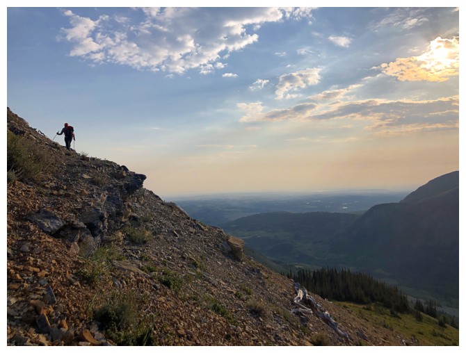
Mark traverses over to the ridge
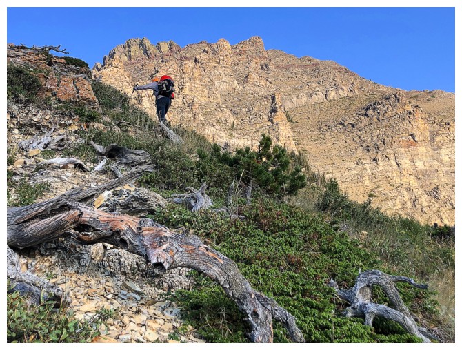
The summit block is distant but omnipresent
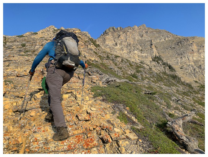
For me too!
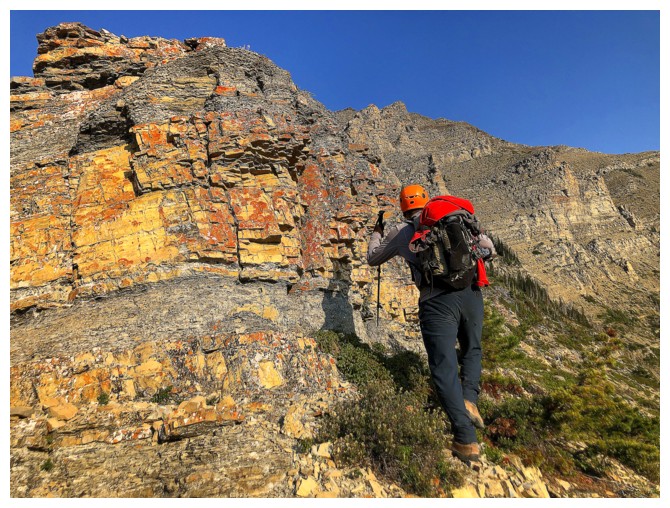
Start of the colourful rock and the great scrambling
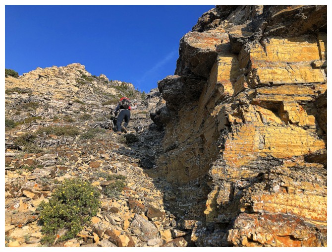
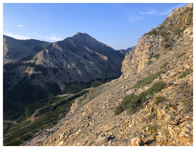
The West Summit of Spread Eagle Mountain - recent nostalgia
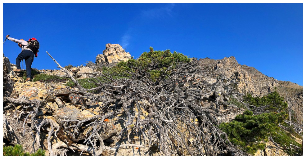
Passing a tangled mess of dead trees
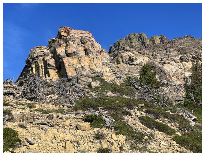
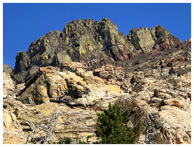
Mesmerized by the pinnacles and rock of the summit block
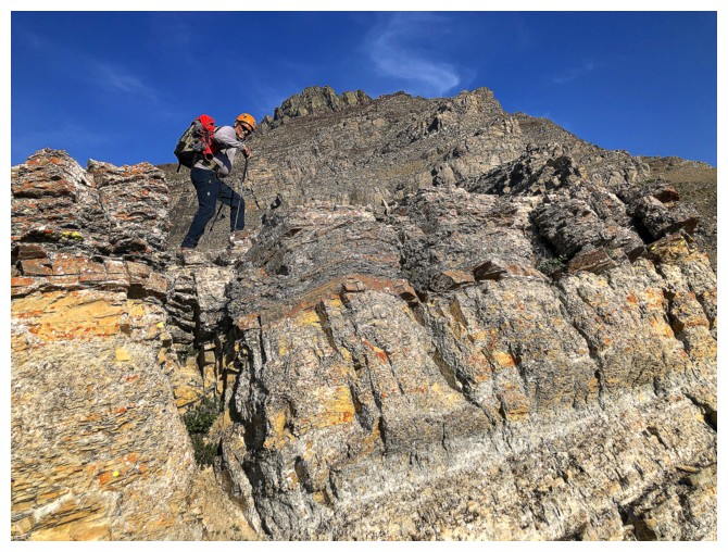
But for now, there is still much elevation to gain and so much cool rock to see
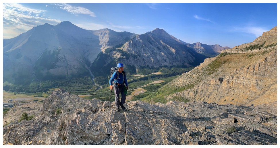
Spionkop Ridge (behind) also boasts many highpoints and amazing ridgewalking between them
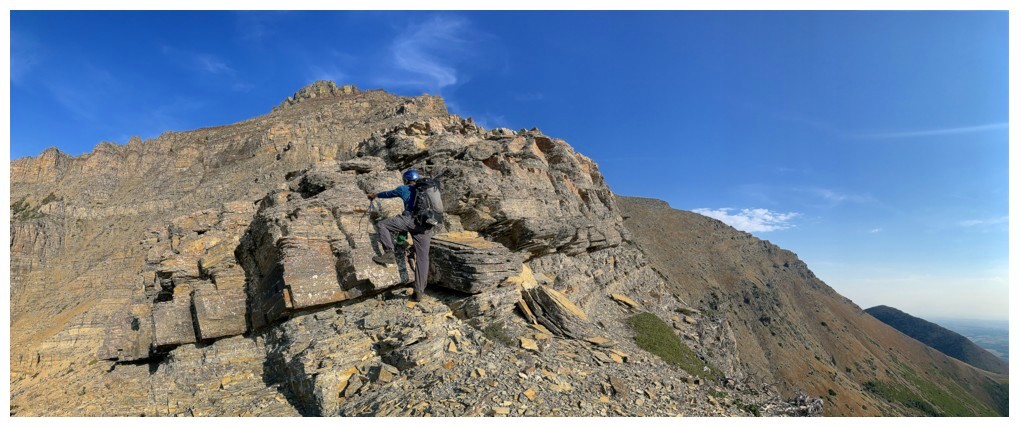
Easy and enjoyable scrambling
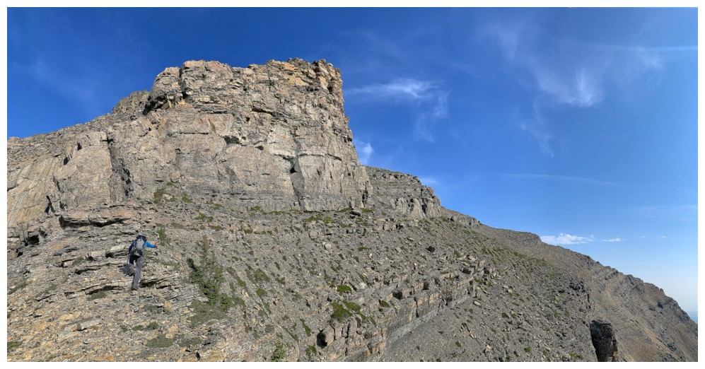
Here comes that pesky limestone rock band
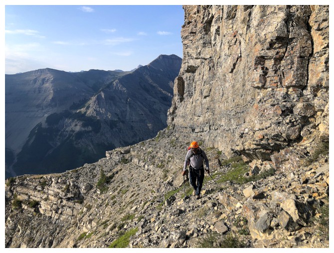
Traversing around the right side to find a weakness in the band
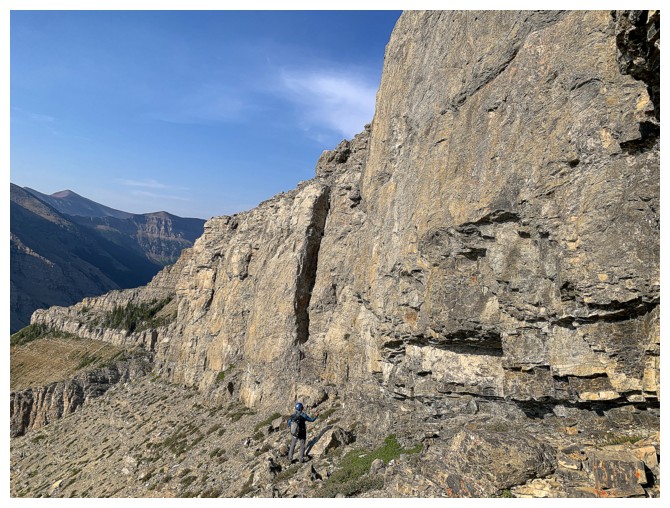
Searching the left side
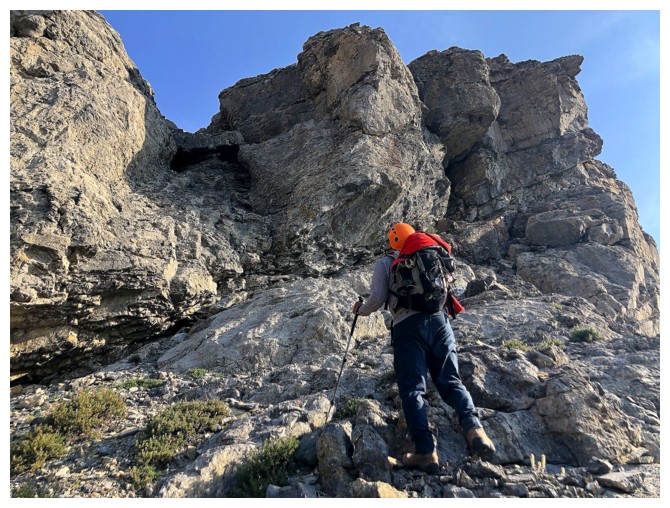
Potential weakness at the left but even getting up the first step was too much for us
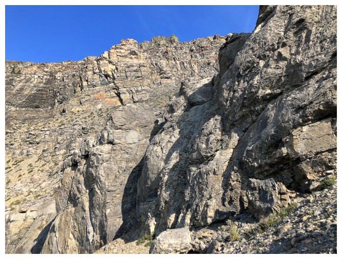
Nothing doing here so we went back to the right side and eventually found a route up
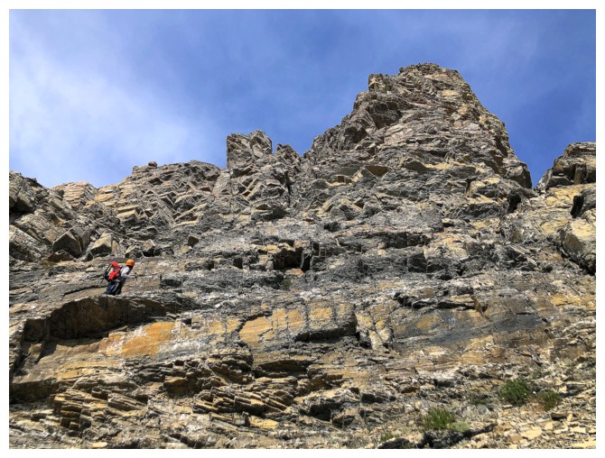
Above the limestone band and route-finding our way up steep terrain
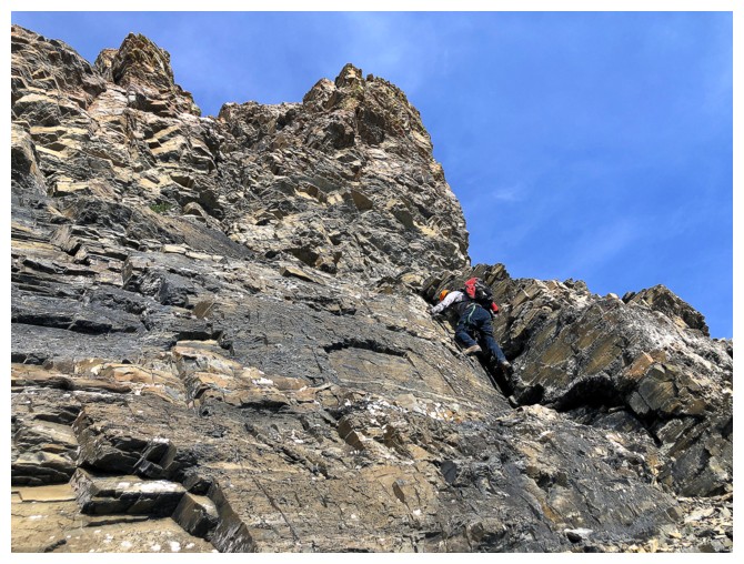
More scrambling
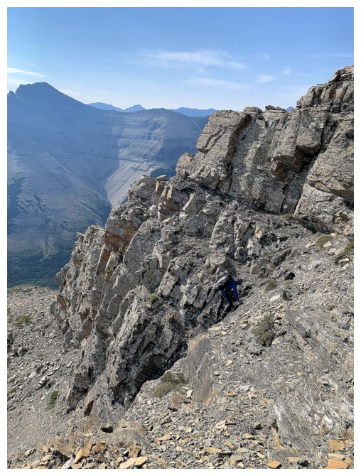
Typical grades on the upper slopes
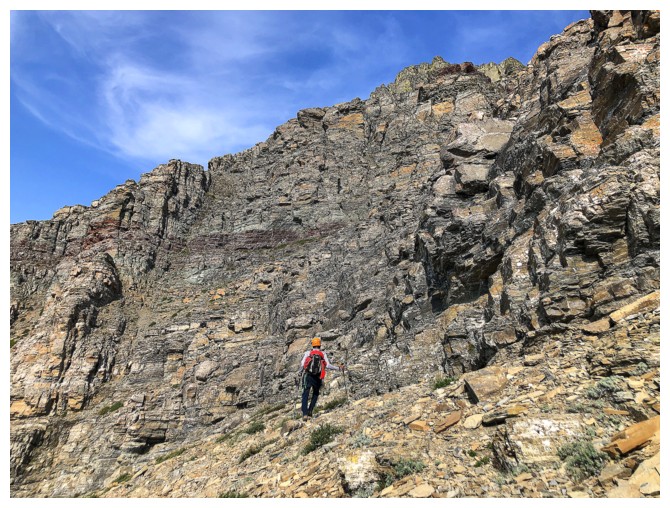
Mark leads the way
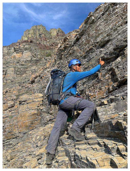
I follow
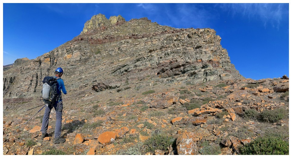
Short break from the scrambling
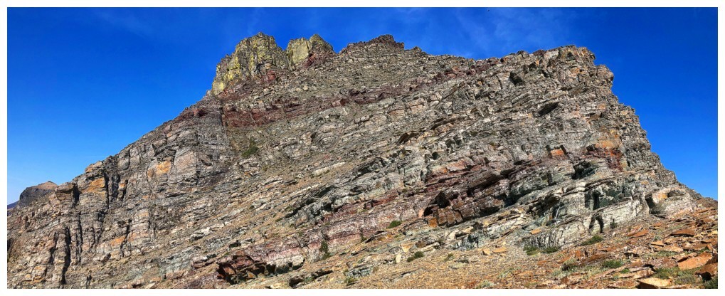
The next section
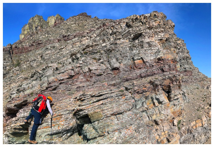
Mark leads the way again
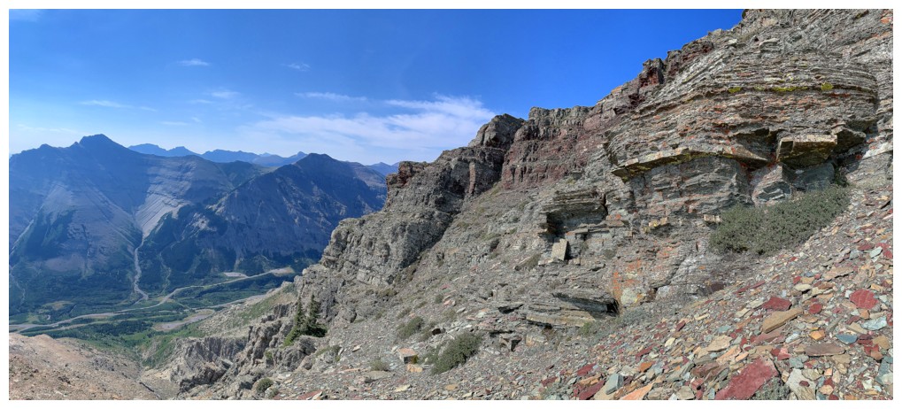
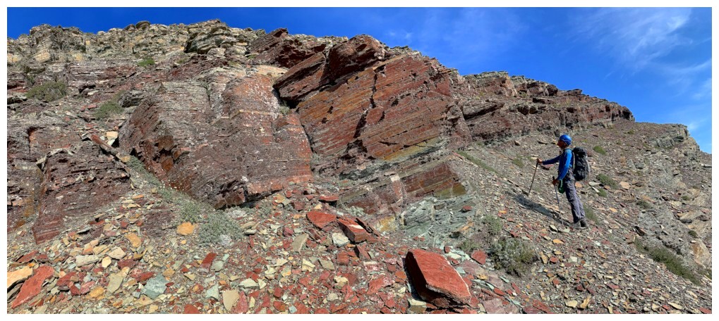
Approaching a particularly striking rock band
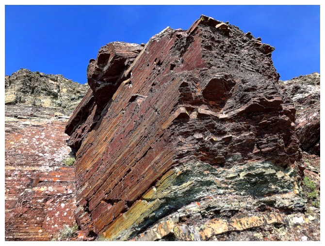
This one

Shameless posing atop the rock
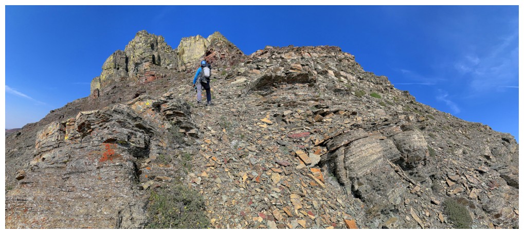
Continuing. The summit block looks close now.
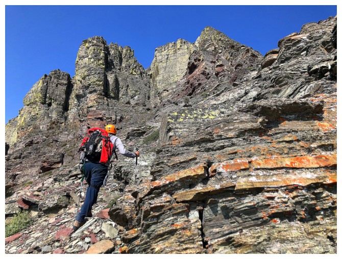
Closer
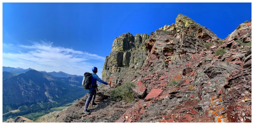
Even if you don't get to a summit up here, the band of burgundy
argillite below the summit pinnacles is absolutely stunning and alone
worth a visit
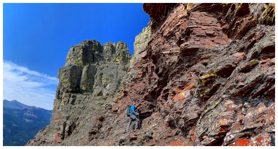
Admiring the stunning rock
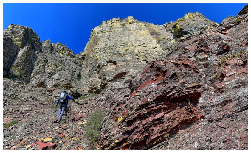
Heading for the key gully
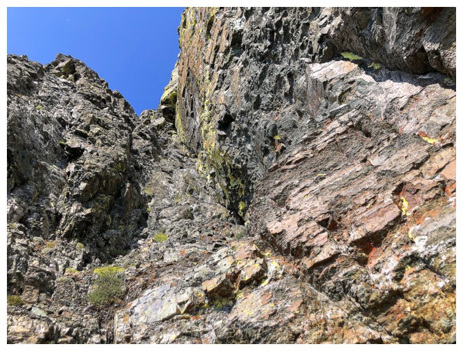
The gully
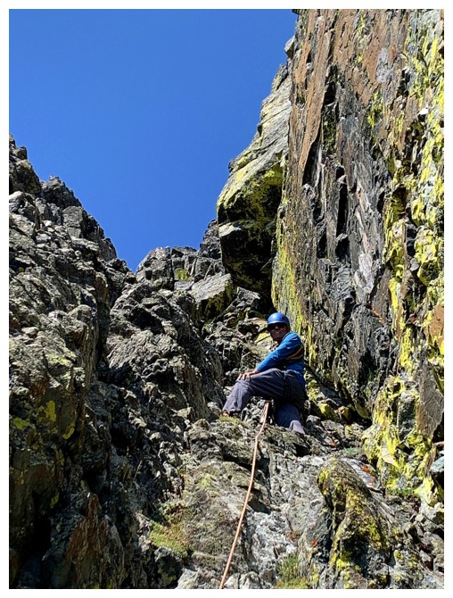
Roped up and ready to climb. Very enjoyable scrambling up this gully.
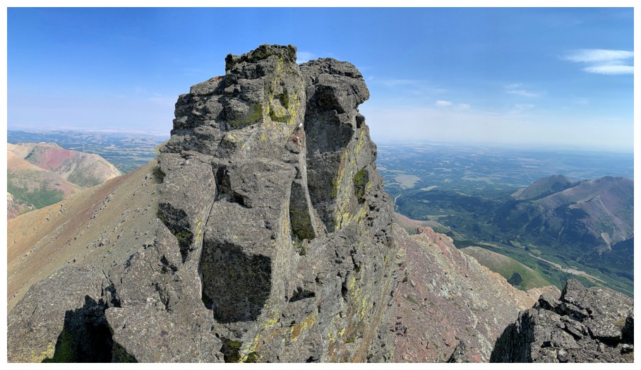
At the first notch and looking at the exposed section I scrambled in 2006. Glad we found a route to avoid this.
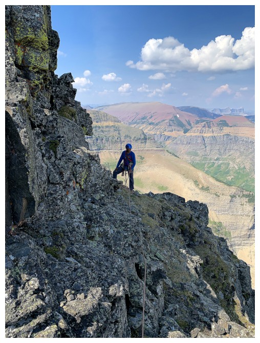
Searching for a route up, around the right side
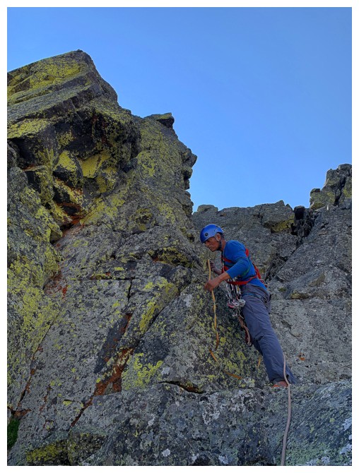
Searching for a good boulder to sling
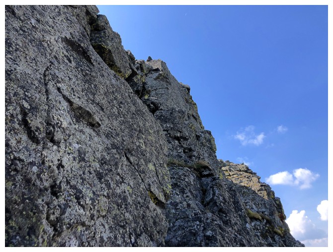
The next section is the steepest part of the ascent and goes right up the middle
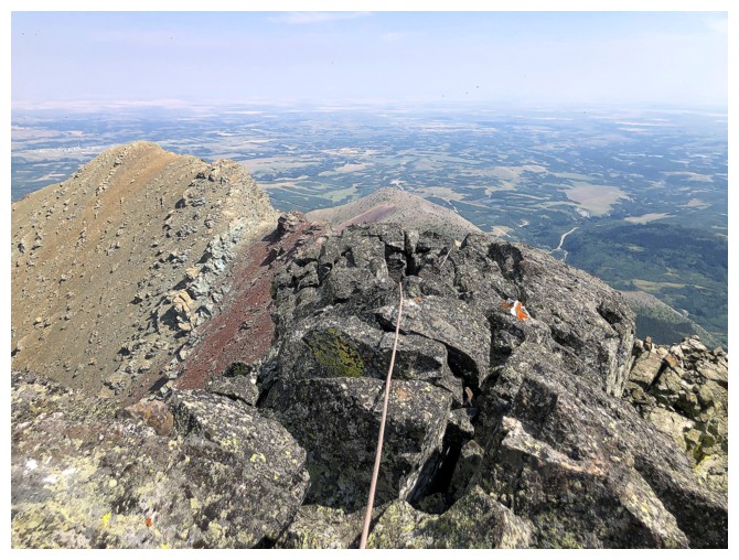
At the summit with the rope going down to Mark
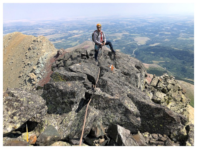
There he is
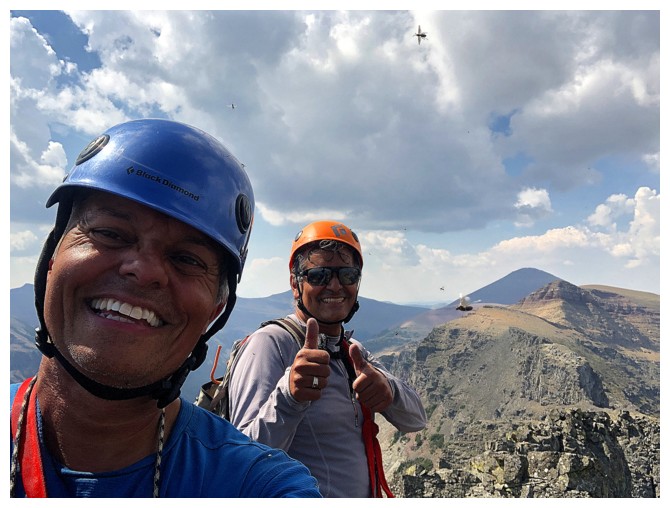
Had to do a summit selfie to send to Dave
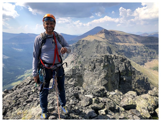
Mark, with Pastry Peak and Loaf Mountain (true summit) behind
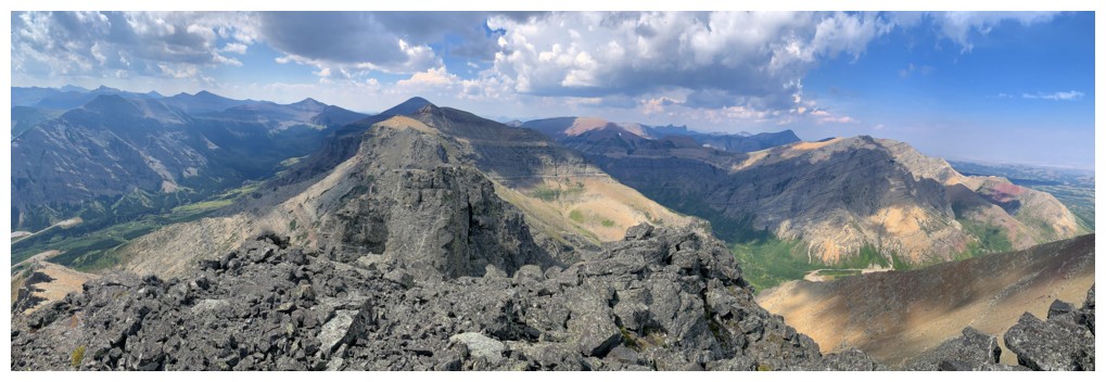
Summit view to the west and northwest
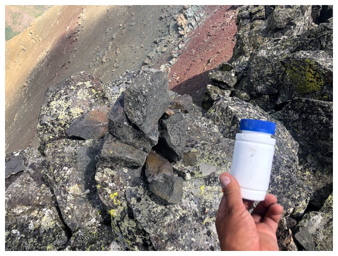
Someone left an impromptu summit register. The contents were covered in mold.
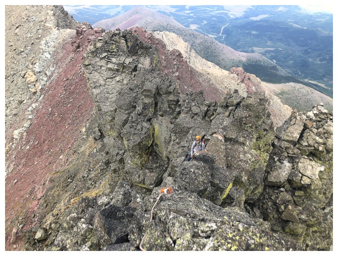
Looking down at Mark before downclimbing the exposed upper section
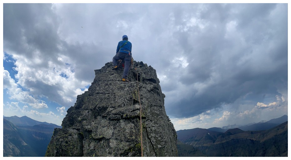
Downclimbing with a protective sling above. The dark clouds to the west were concerning.
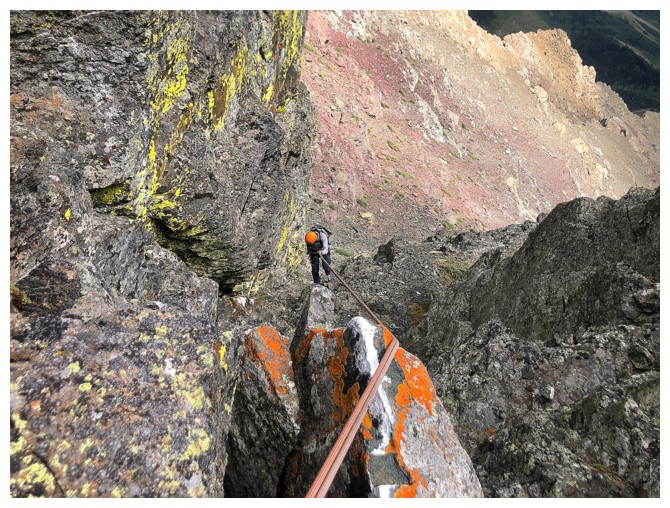
Mark rappels the gully
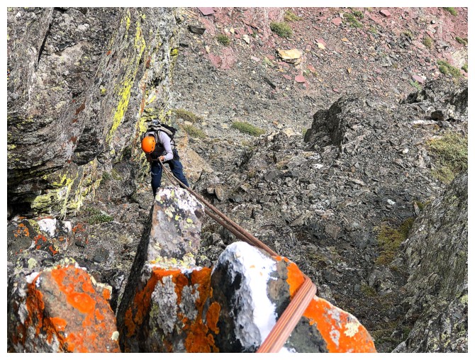
Same as above
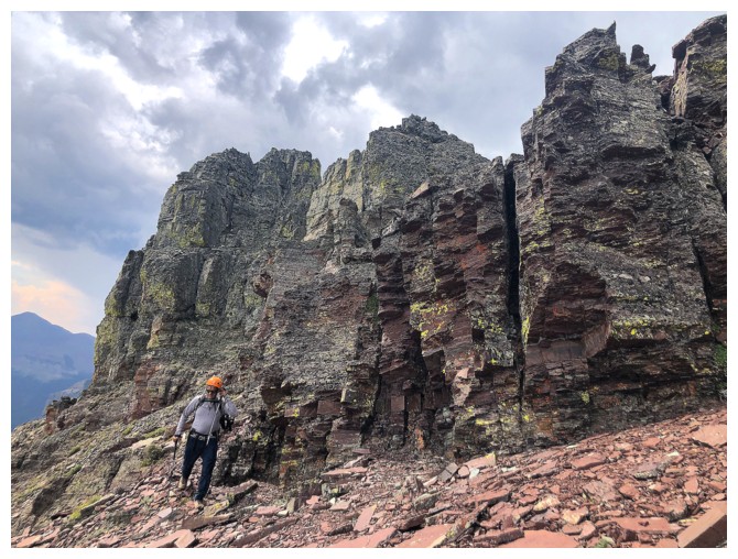
Hiking around to the northwest ridge of Bakery Peak
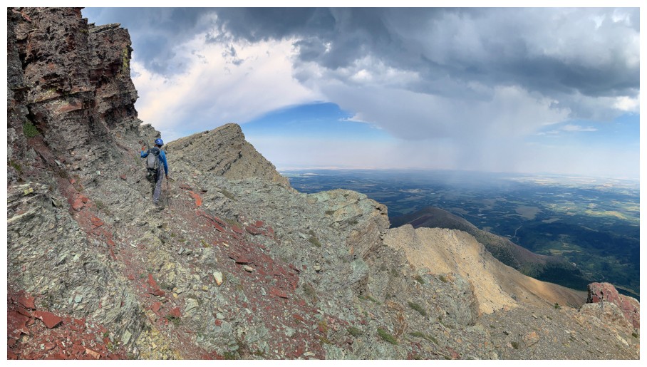
Same as above
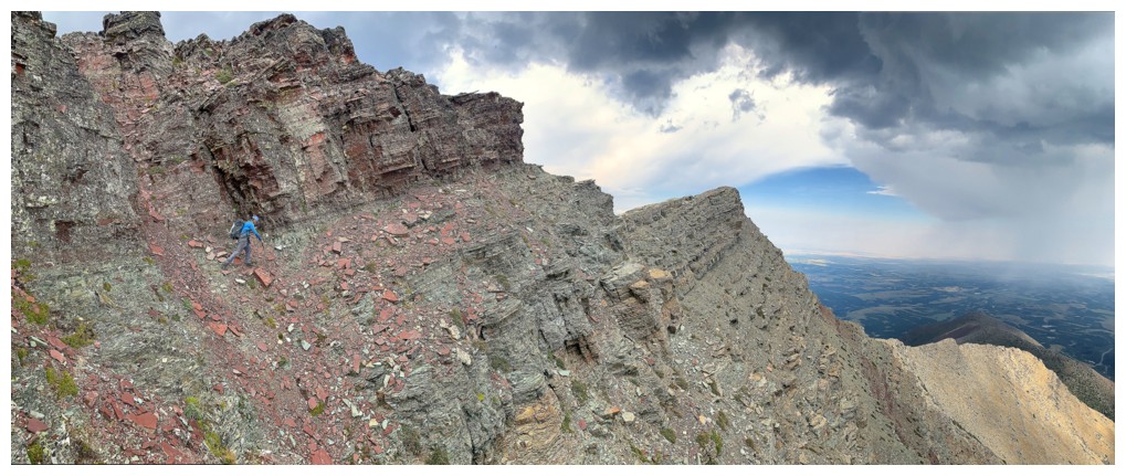
And again, with some dark skies
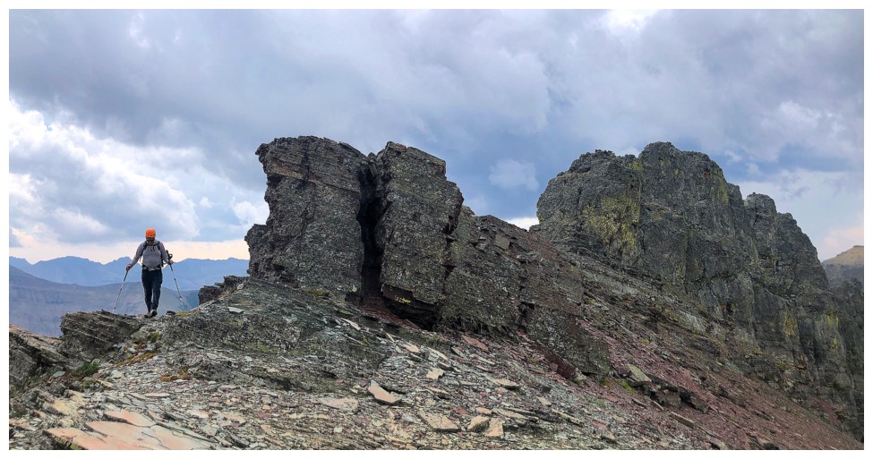
On the ridge. Icing is the obvious highpoint and Bakery is to the left of Icing.
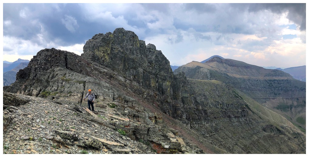
Same as above, with Pastry and Loaf
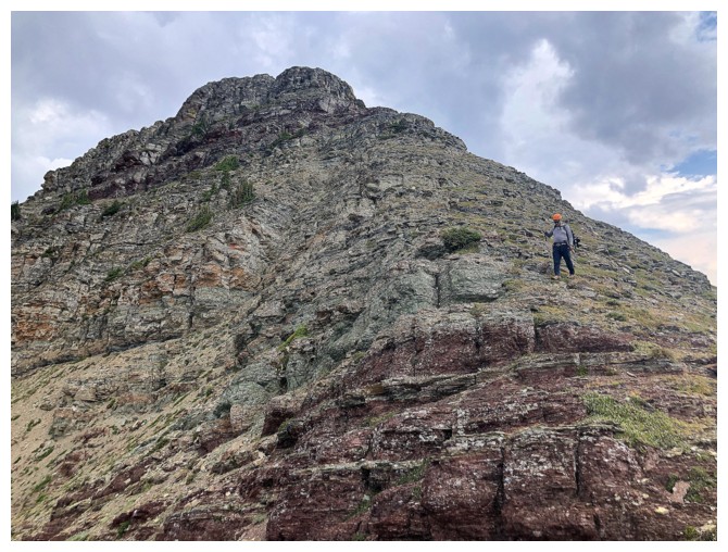
Descending the super fun northwest ridge of Bakery
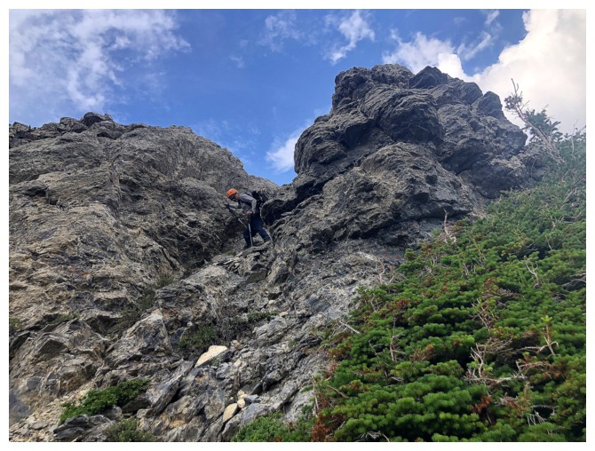
Mark descends the infamous limestone band. Thankfully, here the band has eroded considerably and is very easy to negotiate.
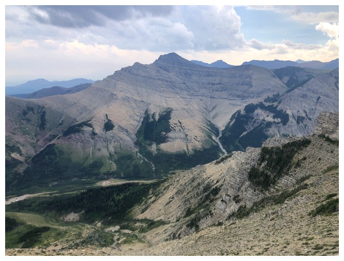
Easy descent route from here
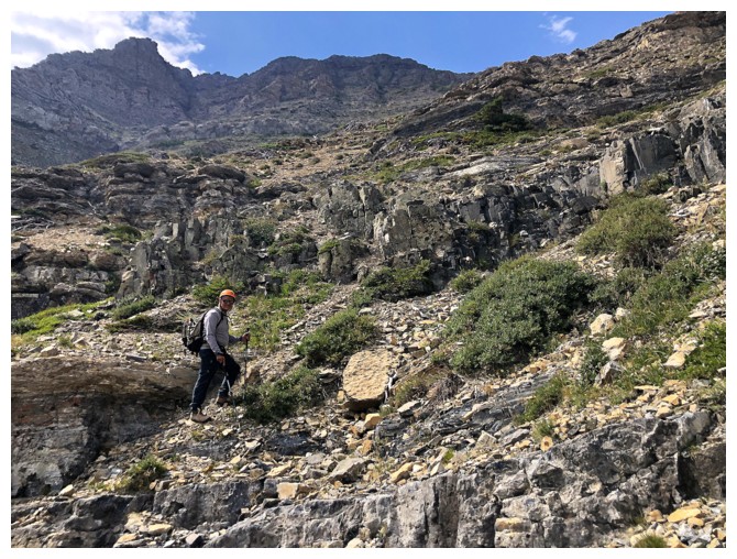
Mark and the descent route
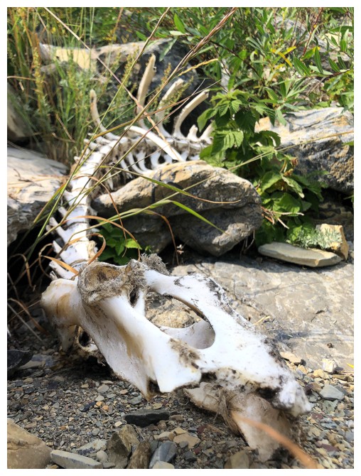
More skeletal remains. Definitely not a chipmunk!
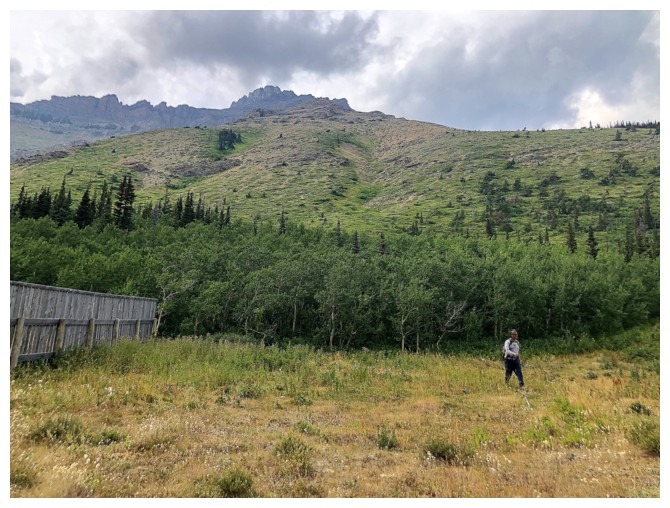
Back near our bikes, with the route behind us. Great day!
The End
LOG