Mount
Jimmy Simpson –
Mountain height:
2,966
m (9,730 ft)
Elevation gain:
1,000 m (or 1,300 m if you take the wrong route like we did)
Ascent time:
6:10
Descent time:
3:20
Round-trip distance: 14 km (or 17 km if you take the wrong route
like we did)
Scrambling with Mark.
A bitter, bitter, bitter disappointment - that most
accurately sums up our ascent of Mount Jimmy Simpson. We specifically chose this
mountain because of its strategic location, situated above Bow
We made our way towards
At this point, the sky did in fact clear, giving us our
first view of a small section of the spectacular Wapta Icefield and its peaks.
Most impressive were Mount
Eventually we came to the summit block of the unnamed peak, where we had to either try and traverse dangerously steep and snow-covered slopes along its east side or attempt to gain the summit by a longer, but safer traverse around the west side – we chose the west side and after losing some elevation to gain the ridge, slogged up to the summit cairn, where a dismal, cloud-covered view of very little awaited us.
By this time, we had a couple of serious concerns to deal with: 1. we were running out of daylight; 2. we needed to find an easier route down than the one we came up. Making the summit Jimmy Simpson was the last thing on our minds. The only other possible alternate route was to try and gain the col by descending the north ridge of the unnamed peak, and then traversing slopes below, back to the col. All other routes to the col were guarded by steep cliffs. The route turned out to be quite straightforward and soon we were at the col.
With the summit only 20-30 minutes further, we decided to boot up there as fast as we could just in case there was any clearing. A grueling slog up easy slopes and we finally summitted. We didn’t get the clearing we had hoped for and reading the summit register further compounded our frustration and disappointment – almost all the ascents since 1995 were done on perfectly clear days and every entry commented that the summit view was one of the finest in the Canadian Rockies.
We did, thankfully, find the correct route for the descent, but it wasn’t the pushover we thought it would be. A couple of fairly steep snow slopes required crampons, ice axes and caution to descend. The scenery throughout was very pleasant and, of course, as the sun set, the sky also cleared – perfect timing as always?! Despite the weather, a terrific mountain in a spectacular area – we’ll be back!

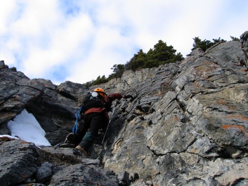
Ascending one of the steeper rockbands near the beginning (the fun, but wrong way to go!)
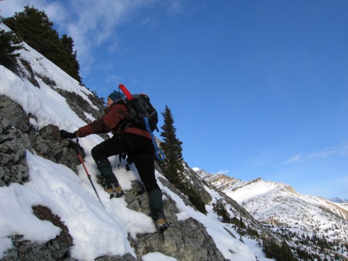
More steep terrain
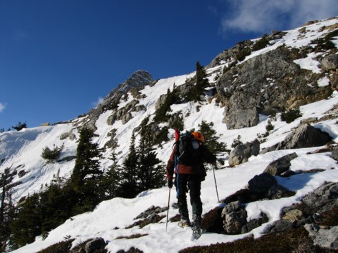
Nearing the upper ridge
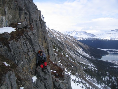
Mark, on another rockband
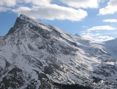
The northern most point of the multiple peaks of Crowfoot Mountain
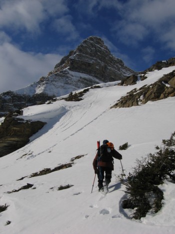
Almost at the ridge, with Portal Peak ahead
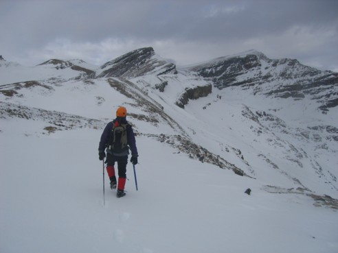
Heading along the ridge; the summit of Mount Jimmy Simpson is the peak right of centre; we followed the ridge to the summit block of the unnnamed peak left of centre; from there we had to descend to the col left of unnamed and then ascend gentle slopes to the summit
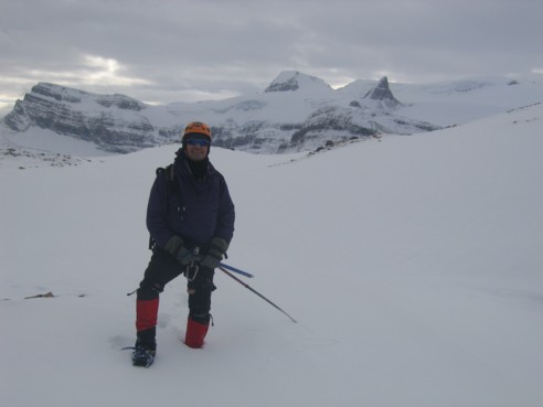
Looking south towards Vulture Peak (left), Mount Olive (just right of centre), and Mount St. Nicholas (the small pointed one)
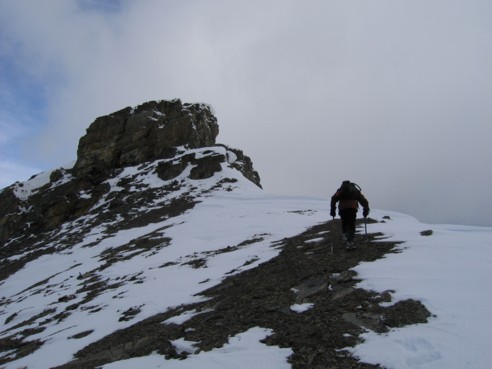
Approaching the summit block of the unnamed peak
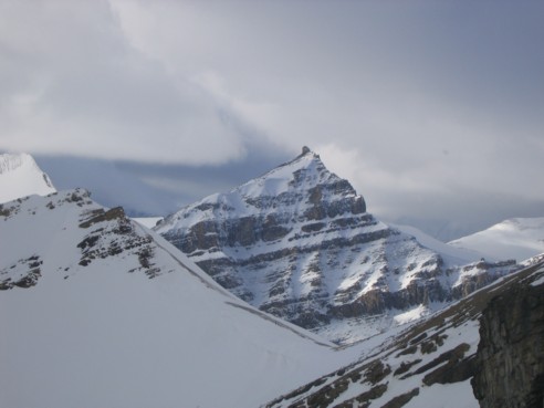
Peyto Peak and the col of unnamed
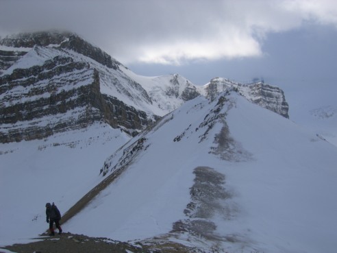
Ascending slopes to the summit, from the col of unnamed
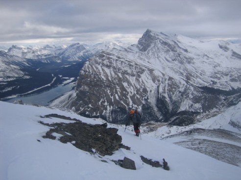
A little clearing; Bow Lake, Crowfoot Mountain and other peaks of Highway 93 south
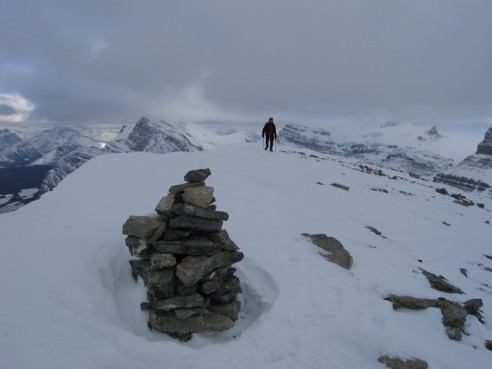
At the summit cairn of unnamed
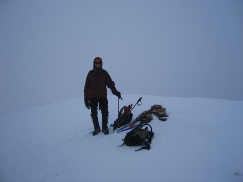
At the summit of Jimmy Simpson; a terrible waste of a magnificent view
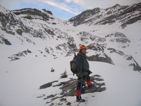
On the correct route for descent; unnamed at the left and the summit of Jimmy Simpson to the right; the correct route goes right up the centre