Mountain height: 2,241 m (7,350
ft)
Elevation gain: 728
m
Ascent time:
2:25
Descent time: 2.15
Hiking with Mark.
The rationale behind choosing this easy hike
was that given the snowy and cloudy weather forecast, we wouldn’t be missing
too much, in terms of scenery, by ascending this minor bump west of
Holy
Cross
Mountain
. The plan very much back-fired when we discovered that not only was the hike
very enjoyable, but was back-dropped by a stunning array of mountains. Also, the
weather turned out to be far better than expected – at least at the beginning
and end of the trip.
Some the best scenery of the day actually
came right at the beginning as we ascended slopes to the start of the ridge.
Twisted, wind-formed trees, covered in a light layer of fresh snow, with a
surprising blue sky behind, kept the cameras out of their cases. Unfortunately,
that blue sky was soon replaced by a white, gray mass of thick cloud and we
spent the remainder of the ascent in more or less whiteout conditions.
Nevertheless, the ridge was interesting, if not terribly challenging.
At the summit, the weather situation was
much the same and so we sat down and patiently waited for a break in clouds. The
occasional patch of blue raced by and the sun did come out periodically,
however, there was no significant improvement and so after an hour, ten minutes
at the chilly summit, we started back.
On descent, the clouds did clear a little
more, revealing fantastic views of mountains of the Continental Divide –
Loomis, Bishop, McPhail, Muir, Strachan, MacLaren, and Armstrong. With a blue
sky behind, the scene may have produced some remarkable photos. Unfortunately,
the sky was white, not blue, and so a return trip is definitely in order. An
easy and pleasant day out in terrific surroundings.
(When I purchased Volume 2 of Gillean
Daffern’s Kananaskis Country Trail Guide, a couple of years ago, I thought
that I might use it once or twice, however, it has proved to be a gold mine of
terrific hikes with stunning views – thanks Gillean!)
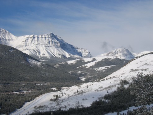
Mount MacLaren
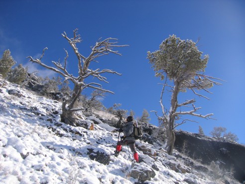
A couple of interesting trees on the southwest side of Junction
Hill
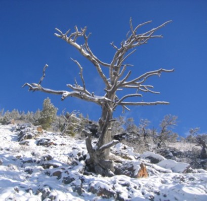
A closer look at the above tree
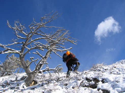
Another tree
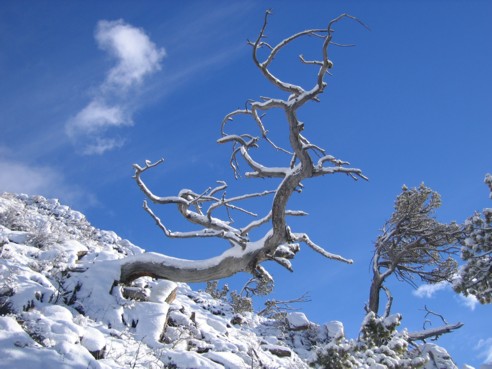
...and another
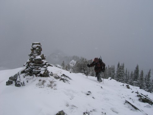
Approaching the first summit cairn; a second and slightly
higher cairn stands another minute away
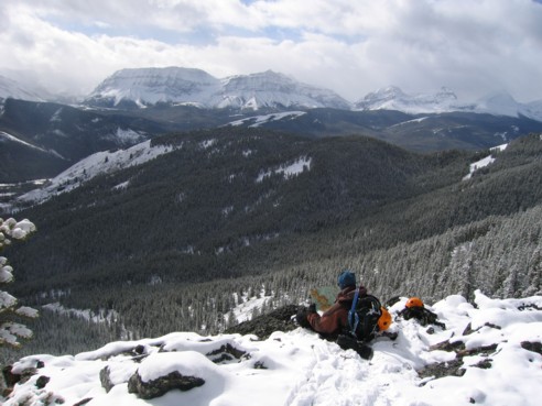
Stopping to check out beautiful mountains of the Continental
Divide: left to right: Armstrong, MacLaren, Strachan,
Muir, and McPhail
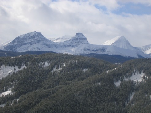
A closer look at Strachan, Muir, and
McPhail
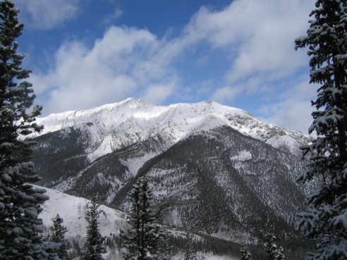
The west side of Holy Cross Mountain
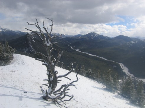
Looking south at highway 940; Raspberry
Ridge is just right of centre


