July 29, 2012
Mountain height: 2635 m
Elevation gain: 950
m
Round-trip time: approximately 7.5 hours
Scrambling with Nicole, Chris, and Mike.
When two work colleagues and the lead guitar
player of the surf-rock band I play in (also Nicole’s husband) asked to try a “moderate”
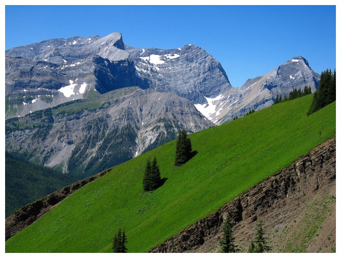
rated scramble, Mount Kent was my first thought. 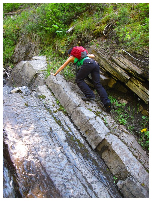 With a short and interesting
approach, tons of awesome hands-on scrambling, a magnificent summit view, and
an alternate descent route Kent has it all!
With a short and interesting
approach, tons of awesome hands-on scrambling, a magnificent summit view, and
an alternate descent route Kent has it all!
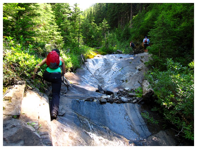
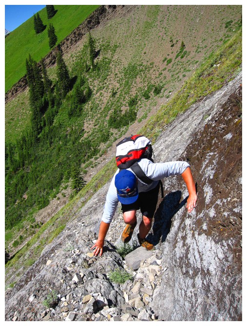
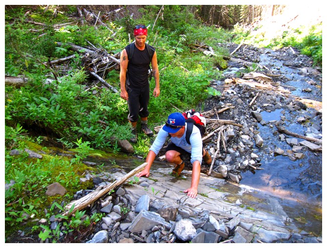
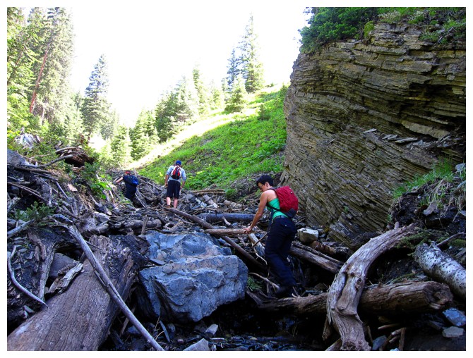
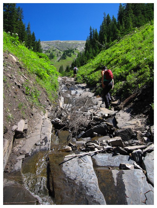
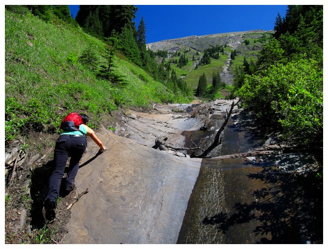
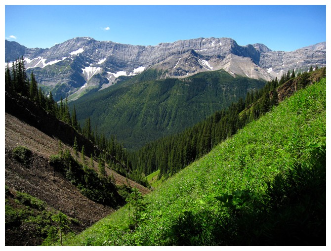
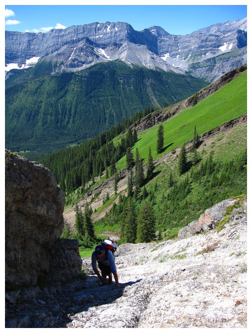
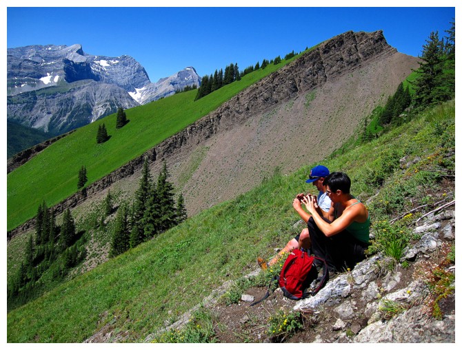
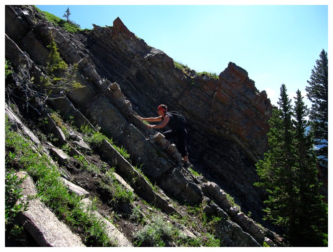
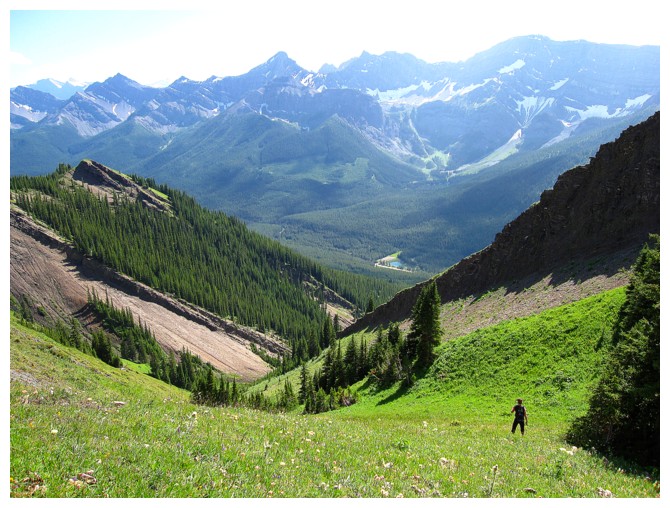
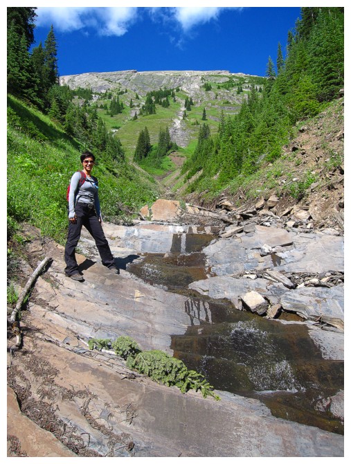
The approach follows an unnamed creek and is a
great test piece for the remainder of the ascent. Small steps of scrambling gave
everyone an opportunity to get their hands on the rock, without fear of exposure.
This was also a chance for me to observe the group’s reaction to the
scrambling. To my delight, all three ascended each step with ease, which means
“game-on” for the more serious and much steeper upper section of the ascent.
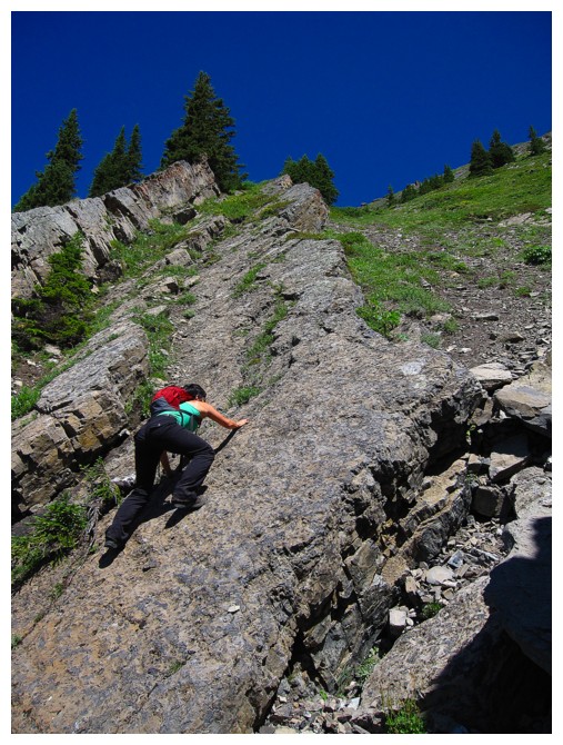
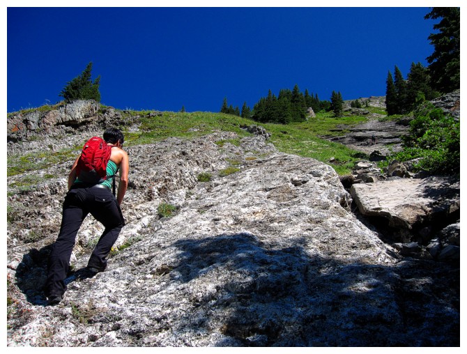
When the tough stuff started, my companions
were all in, tackling each step head-on. I expected them to choose easier lines
when available, but the troops did exactly the opposite, always taking the most
exciting route. I was also impressed with their stamina and perseverance. Nicole
and Chris had only completed a handful of scrambles, 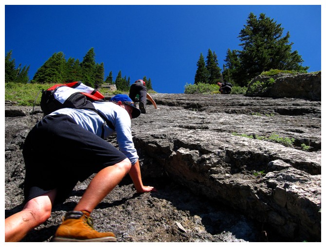 and this was Mike’s first.
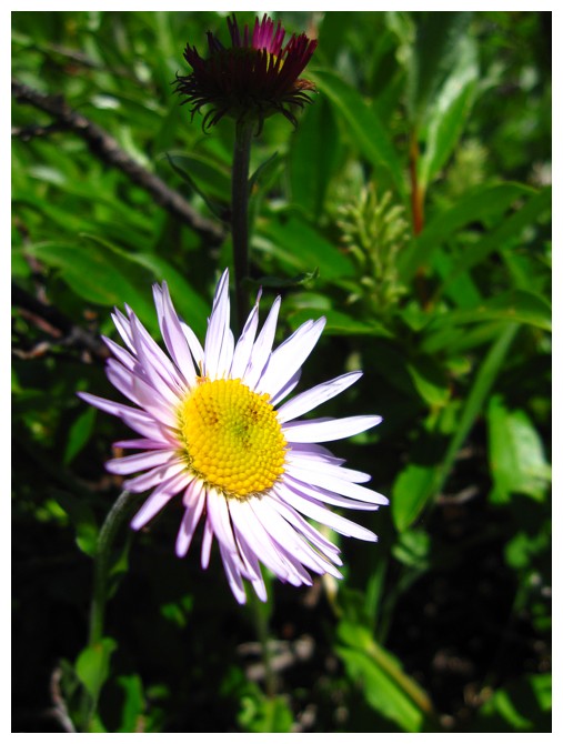
One aspect of the ascent that totally took me
by surprise was its spectacular “greenness”. My two previous trips took place
in the autumn months, with all the grass and foliage transitioning from green
to dead – not so in late July. Unreal shades of bright green under a beautiful
blue sky complimented the already fantastic views and were a source of
amazement throughout.
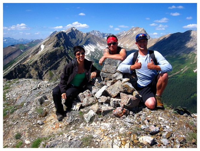
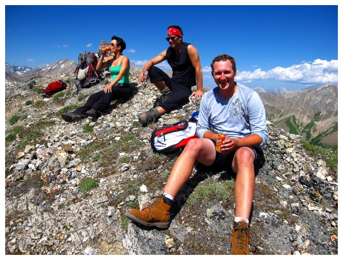
We eventually reached the summit and took a
long well-deserved break. Well done team! Of course, the summit view was fantastic,
courtesy of the almost perfectly clear, blue skies.
For descent, we initially started down the
alternate route, but soon veered back onto the ascent route. Previously, I had
led the Talking Dog group down a different drainage. That route did not earn
a single favourable review and I wasn’t about to repeat the ordeal with Nicole,
Chris, and Mike!
A totally awesome return to one of my favourite
scrambles in the Rockies and a huge shout-out to my partners for their accomplishment.
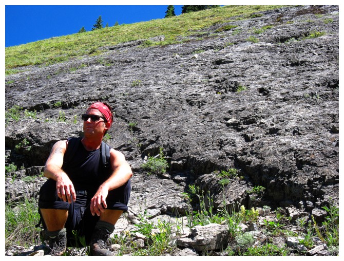
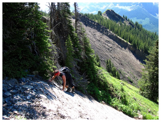
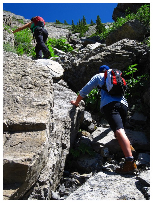
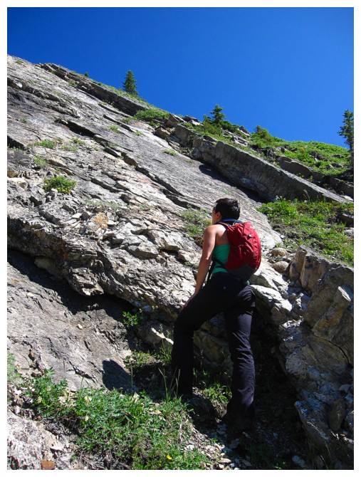
Mike is the first to get his hands dirty
Minor steps of scrambling on solid rock throughout the approach
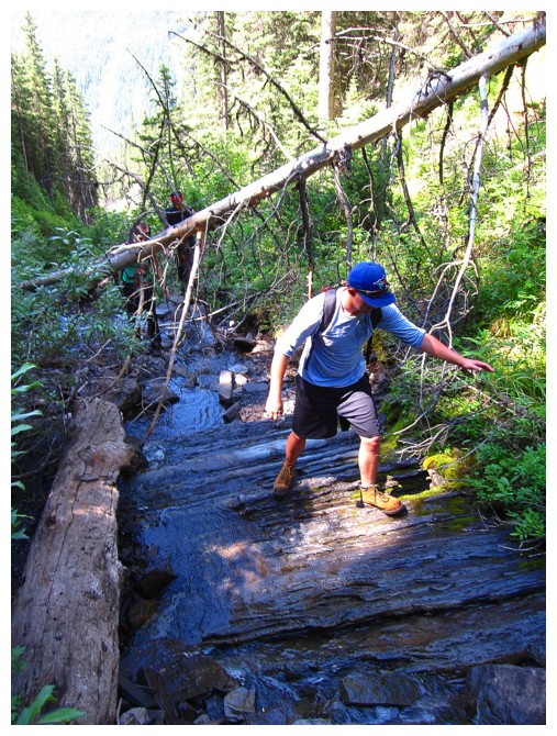
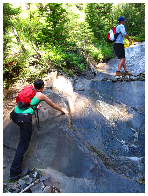
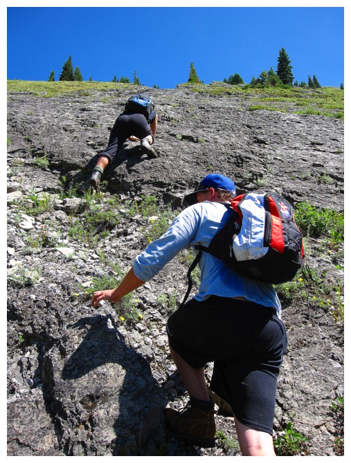
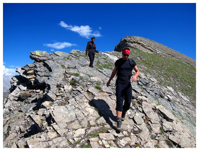
Watching out for slippery footing
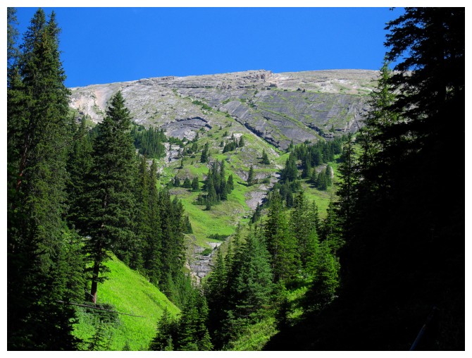
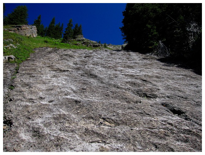
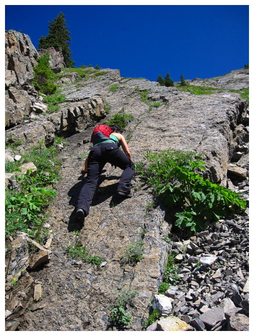
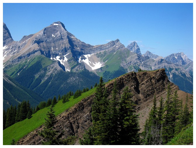
Close-up of the upper part of Mount Kent
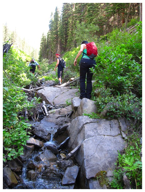
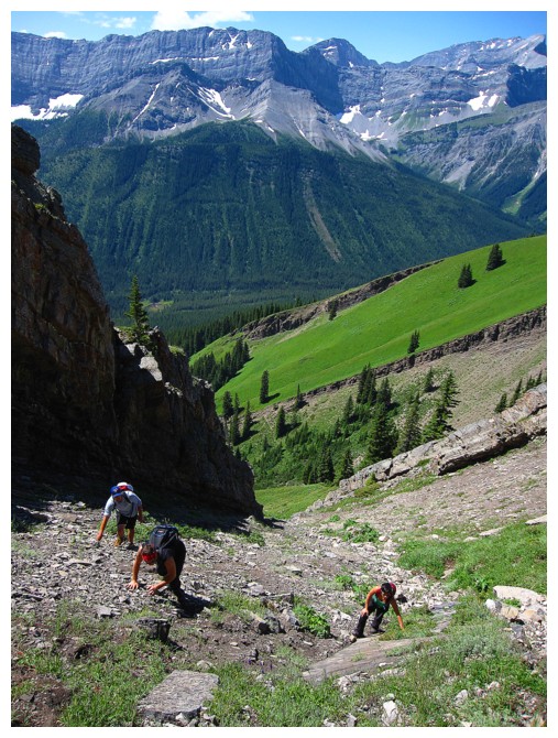
We are still in the drainage for now, however
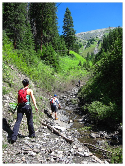
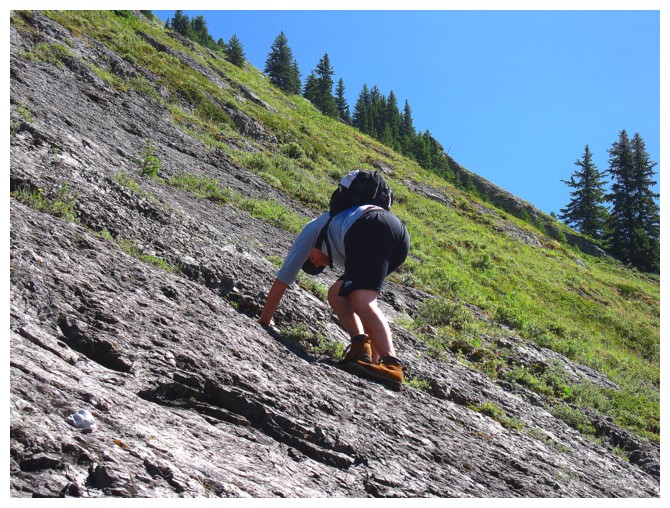
Making good progress...
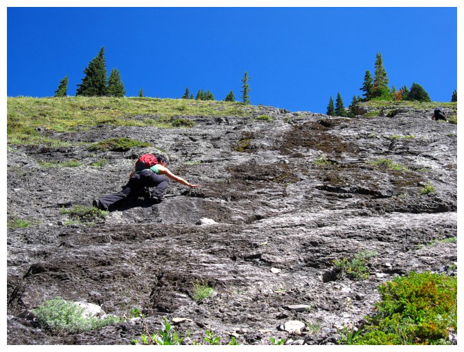
...and still enjoying the rock
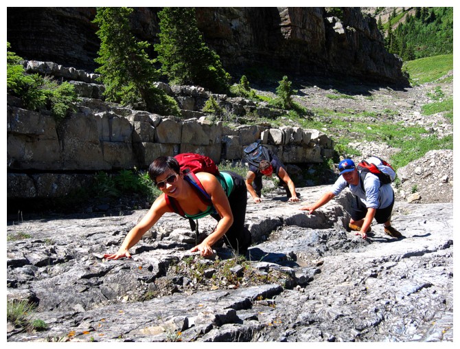
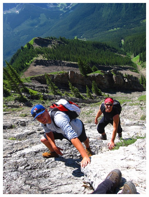
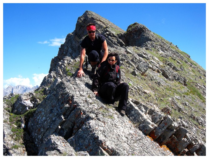
Looks like the troops are having a good time, but I did tell them to smile!
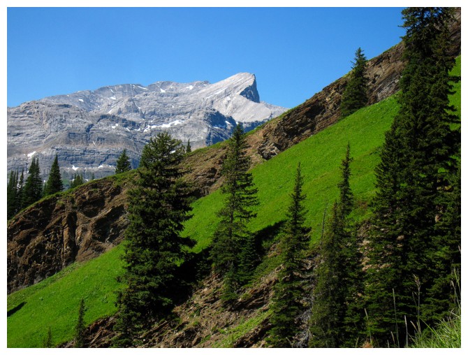
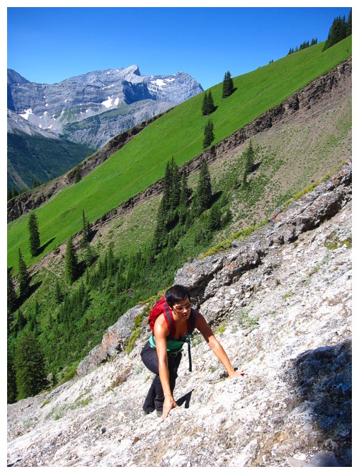
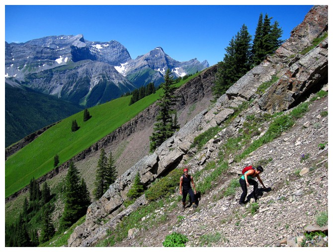
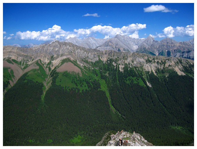
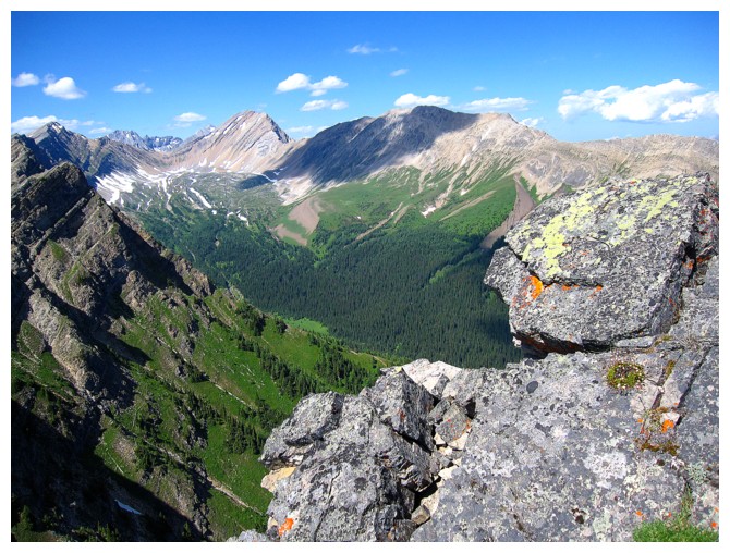
Mount Smith-Dorrien and a taste of the amazing greens on Kent
Mount Black Prince at the far left
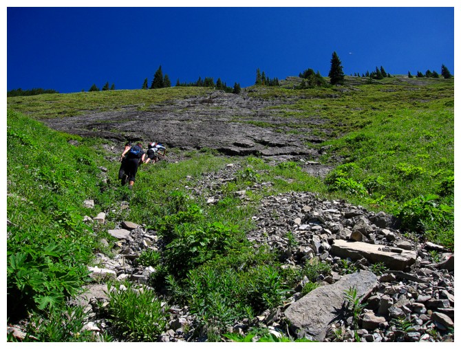
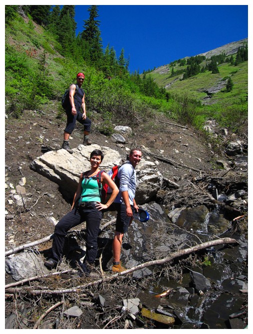
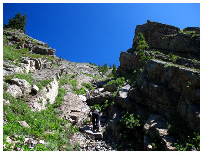
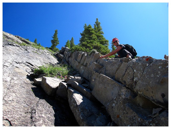
Getting close to the start of the more serious scrambling
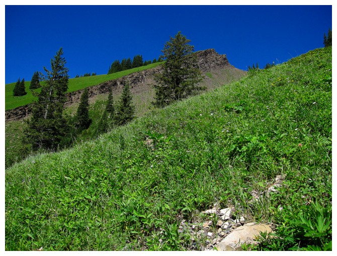
More green
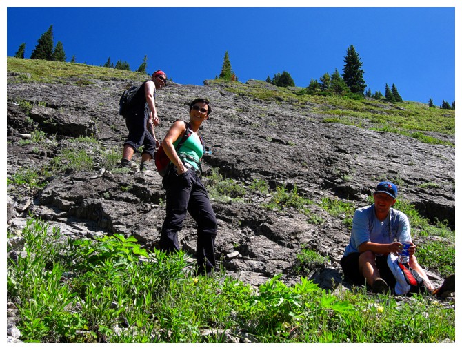
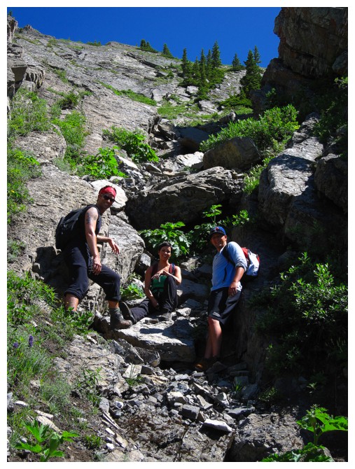
Short break before we hit the real stuff
Chris admiring the view to the west
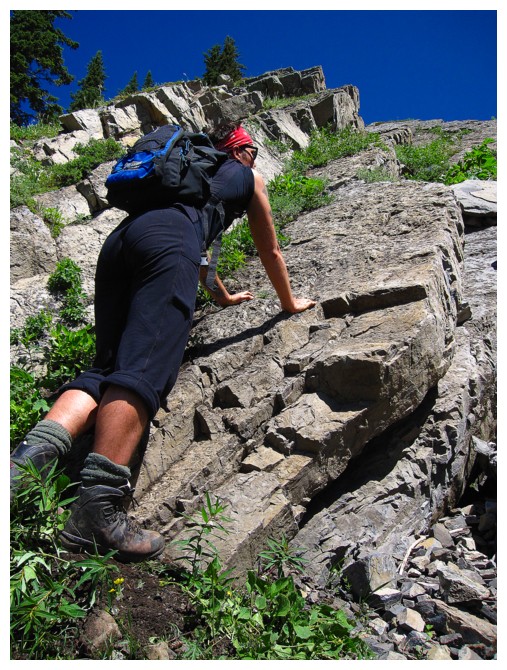
Up we go. Chris takes the lead.
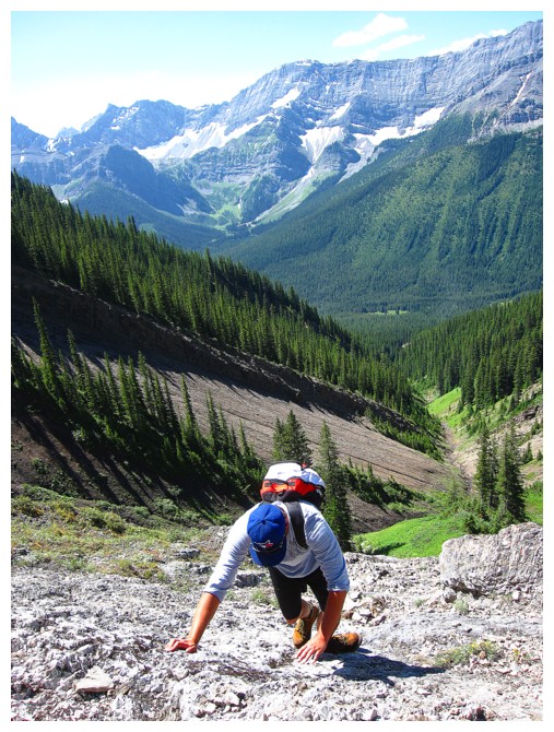
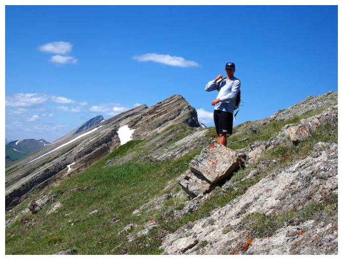
Mike
Nicole
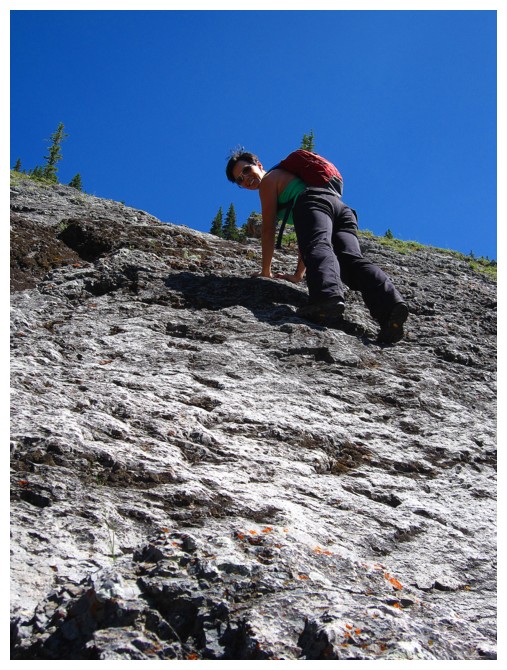
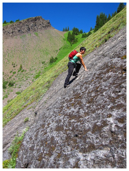
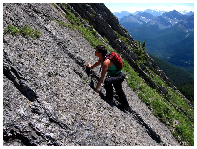
Nicole tackles the steep terrain enthusiastically!
There are lots of good rest spots along the way
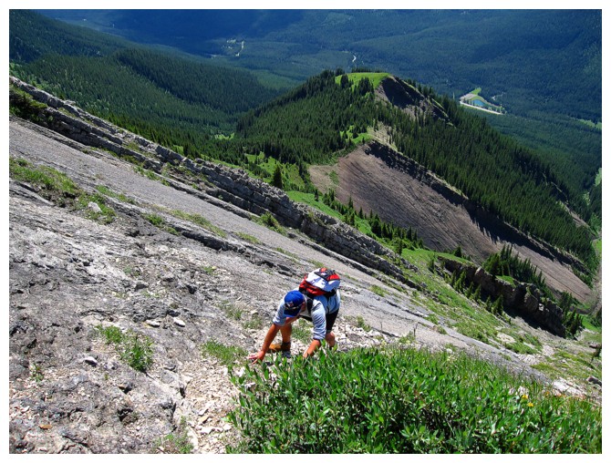
Mike and Nicole on more of the same
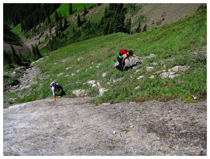
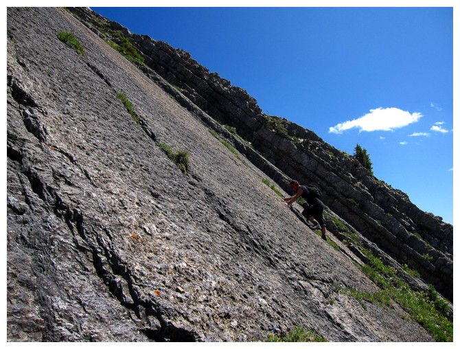
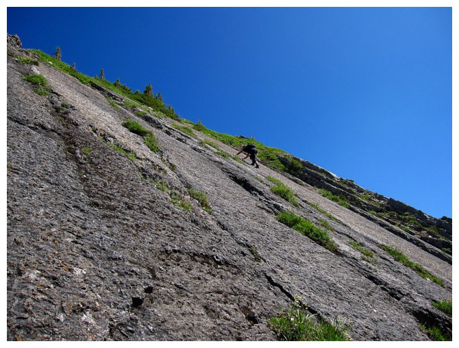
The huge first slab eventually gives way to more varied terrain
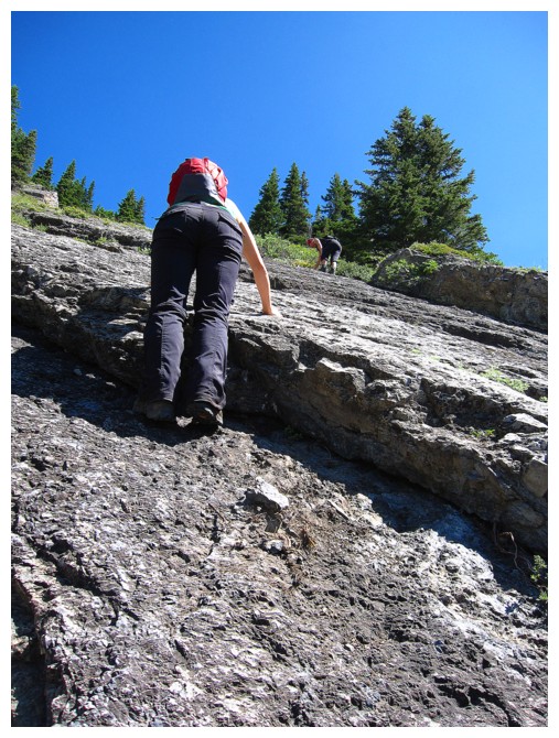
But it's still steep
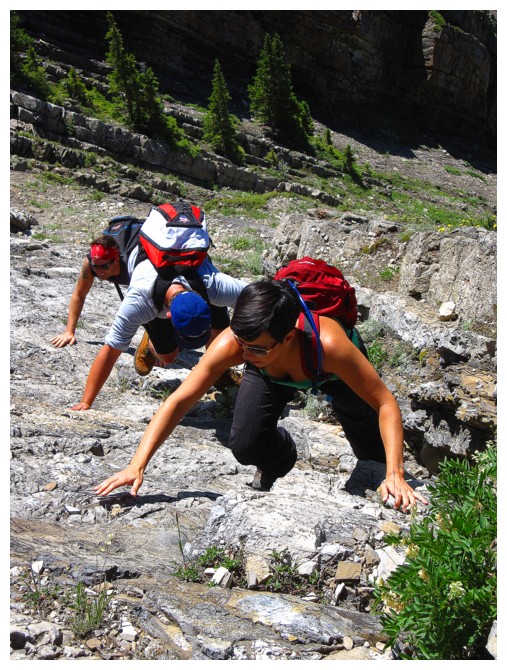
Hands on the rock all the way up
Short rest at the top of that section
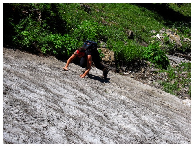
The slab that Miles accidentally surfed down!
Nicole and Mike went around it on the north side...
..but Chris went straight up it. Fortunately he didn't end up surfing down it!
Nearing the top of it
Into another interesting section
I forced them to turn around once in a while for a photo or two
Up they go
Onto more tedious terrain
Some familiar peaks appear to the northwest: Murray, CEFNS, Birdwood, Pig's Tail, and Commonwealth Ridge
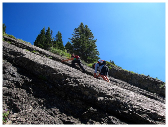
Chris chooses another cool line

Couldn't get enough of the green slopes and the striking peaks in the background
Chris' cool line
Back onto slabby slopes
Nicole surveys the upcoming slab
Not so orderly and very orderly
Chris takes yet another daring line
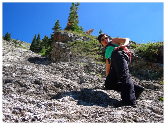
Nicole took a steep one too
Chris making great progress
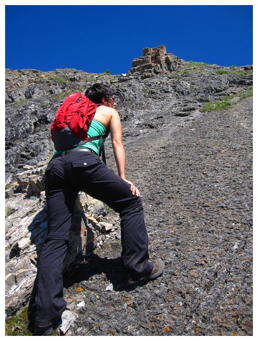
Nicole sizes up the final section of the ascent
Here comes Mike
Something totally different!
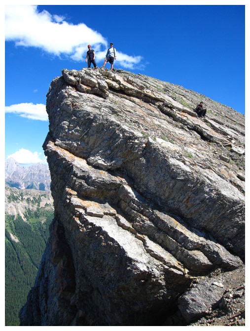
Success!
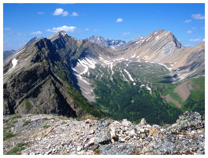
The view to the north includes the North summit of Kent Ridge, Mount Inflexible, and a beautiful valley in between them
Little Lawson and peaks of the Opal Range to the east
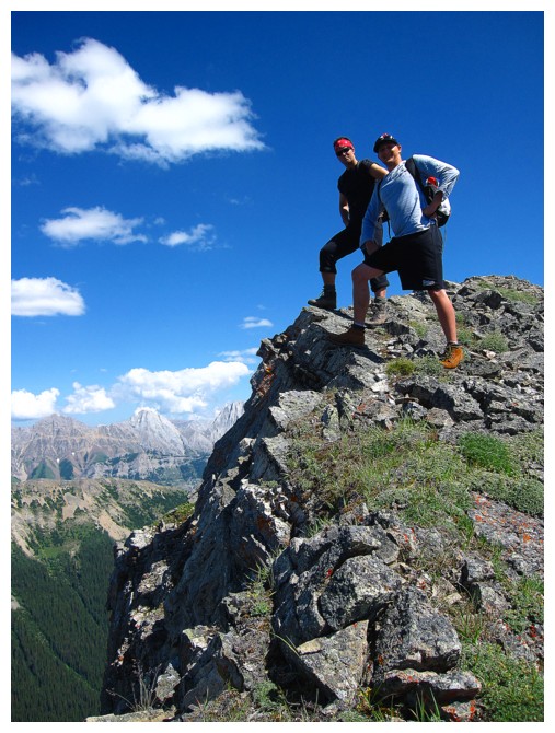
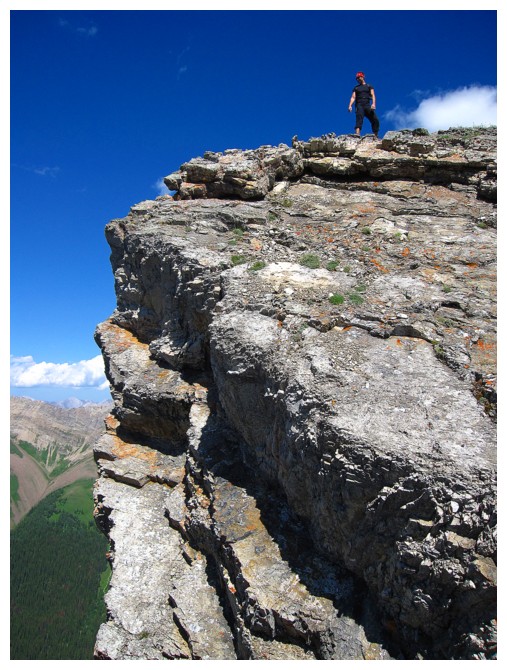
Macho Men pose over the vertical east face
The alternate descent route is worth it just for this vertiginous view
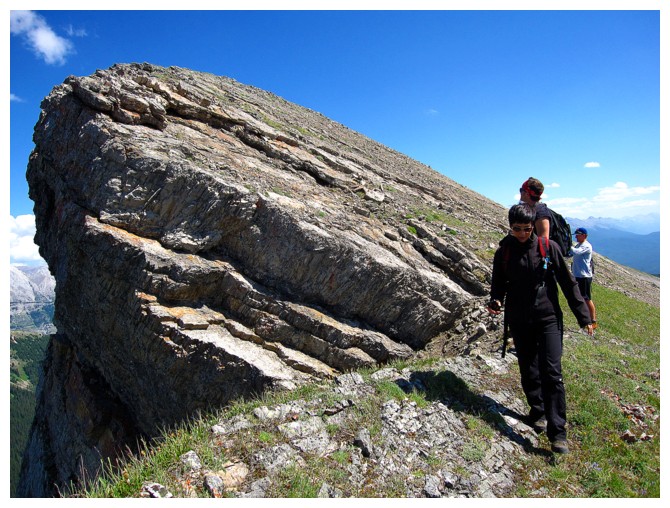
Onto easier terrain
Mount Lawson is the peak in the shade
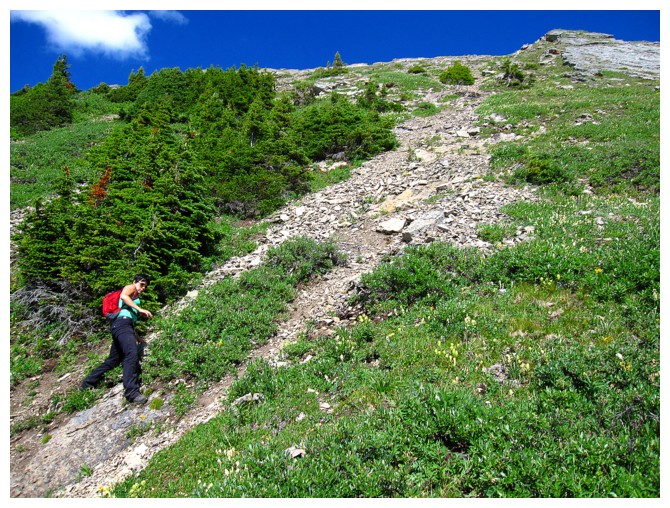
The alternate route is very pleasant to start with then becomes much steeper
Easy does it here
Mike is ready to bomb down the mountain
Unfortunately this is not terrain you can bomb down
Veering back towards the ascent drainage
Back in the drainage and near the end of a magnificent day out with three magnificent individuals
The End
LOG