Lakeview Ridge
reconnaissance
March 7, 2021
Solo hike.
Checking two different weather forecasts, I
gambled that the one predicting perfectly clear skies would be the correct one.
I had vowed to wait for such a day to check out the stunning east side of the
east leg of the Lakeview Ridge Horseshoe. 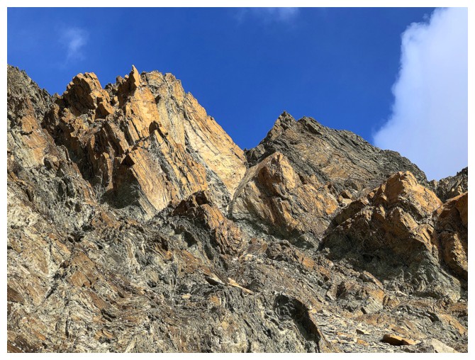 Perhaps a certain degree of optimistic
zeal got in the way of rational thought, as a rational person would have waited
until both forecasts agreed. Nevertheless, when in comes to my voracious
appetite to see the colourful rock of The Castle, Waterton, and Glacier,
rationality goes right out the window!
Perhaps a certain degree of optimistic
zeal got in the way of rational thought, as a rational person would have waited
until both forecasts agreed. Nevertheless, when in comes to my voracious
appetite to see the colourful rock of The Castle, Waterton, and Glacier,
rationality goes right out the window!
The gamble did not pay off, at the for least
the first half of the day. Cloudy skies prevailed, and under them a grumpy
hiker! 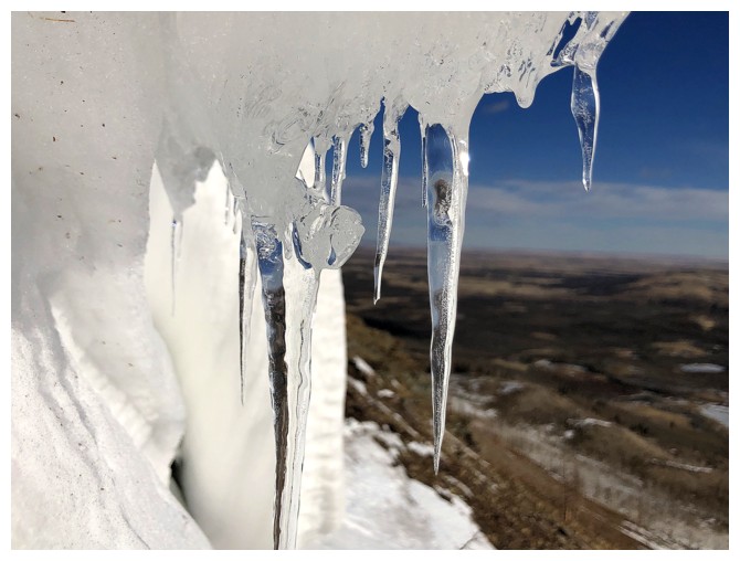 As such, instead of rushing to the east side of the mountain, I went
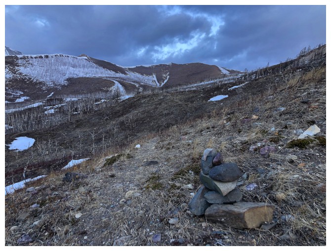
around to the south side of the leg, following a surprisingly well-trodden and cairned
trail – a little exploration to kill some time. This took me to a point near
the middle of the Horseshoe, where there were plenty of opportunities to
explore further. However, the skies were showing some minor signs of clearing
and the east side was calling.
As such, instead of rushing to the east side of the mountain, I went
around to the south side of the leg, following a surprisingly well-trodden and cairned
trail – a little exploration to kill some time. This took me to a point near
the middle of the Horseshoe, where there were plenty of opportunities to
explore further. However, the skies were showing some minor signs of clearing
and the east side was calling.
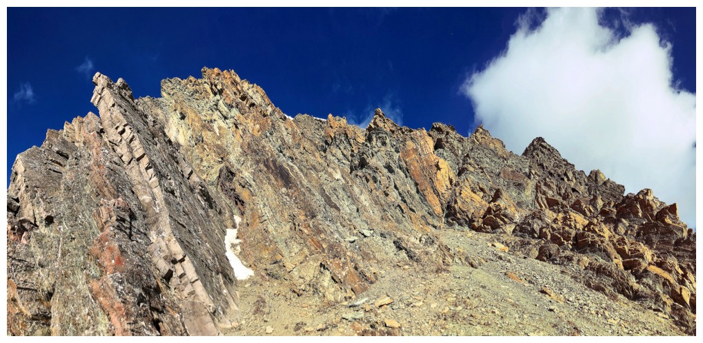
In short, the east side was spectacular, even
deprived of the Sun’s rays and a totally blue sky above. When both of those conditions
came to fruition, the results were unreal. The great part was that this incredible
rock scenery was not even the highlight of the day. The highlight occurred at
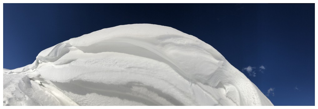
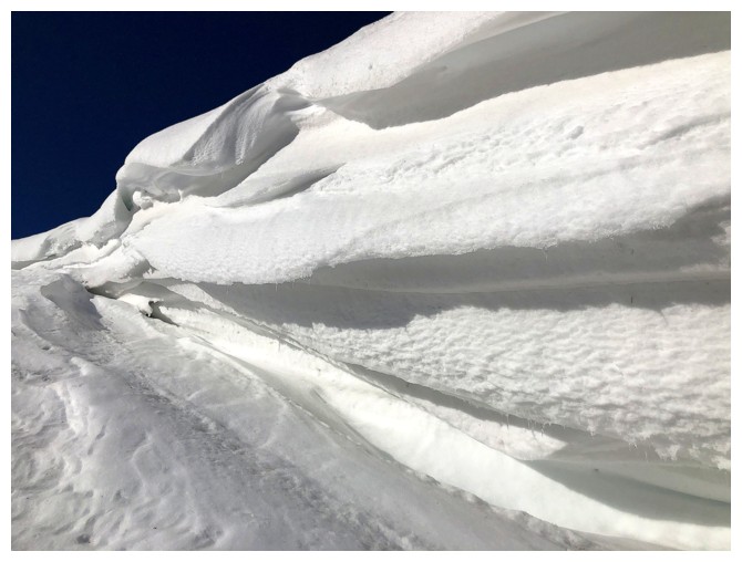
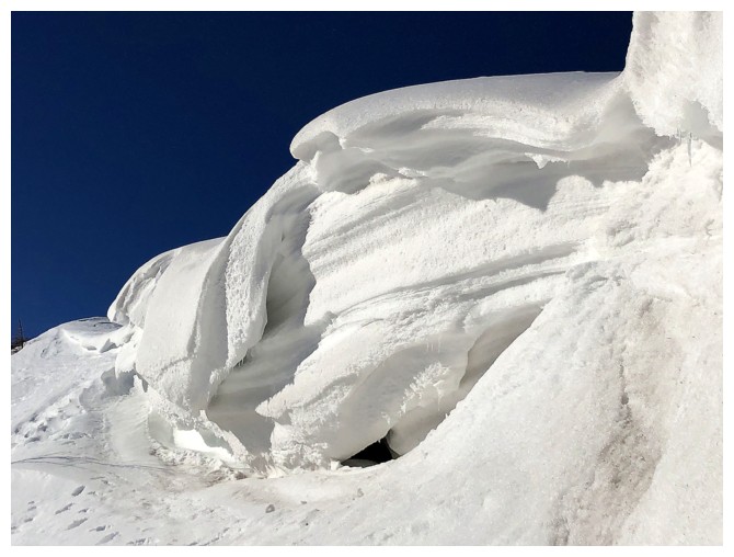
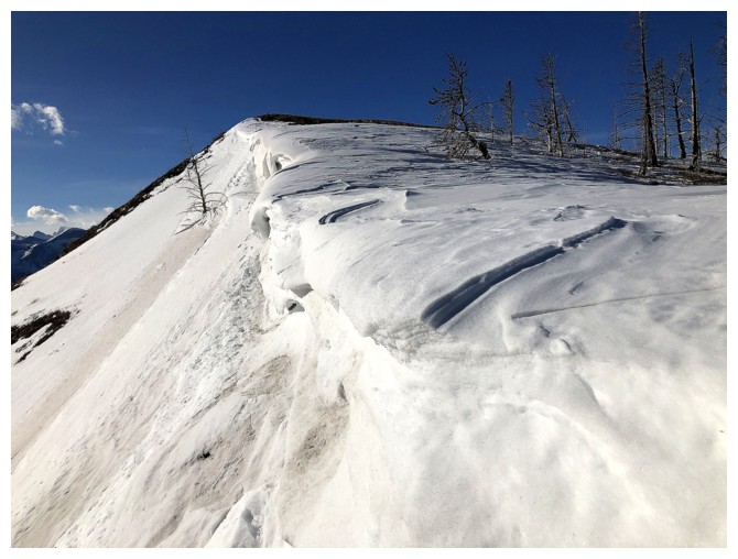
the end of the face, in the form of a lingering snow formation, overhanging the
ridge. Exploring this formation yielded some fantastic scenes of snow and ice
and was a pure delight.
I did eventually gain the ridge and hiked to a
nearby highpoint, with pretty decent views. A pretty darn cold wind accompanied
those views and staying for a long break was not an option. I could have continued
following the ridge to the summit at the south end but retracing my route and
checking out the east side again (now with bluer skies) had more appeal. I didn’t
follow the exact route and took an easier line some distance from the rock face
– still a very rewarding route.
Overall, an excellent day of exploration and
a route I’d definitely repeat.
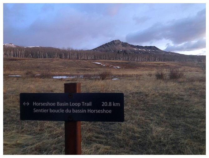
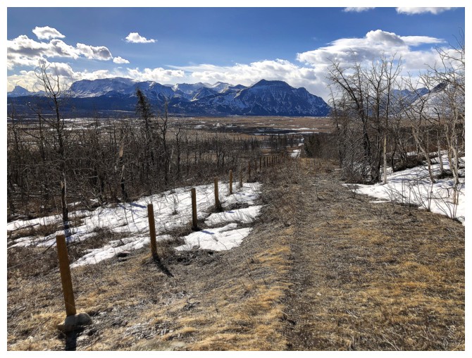
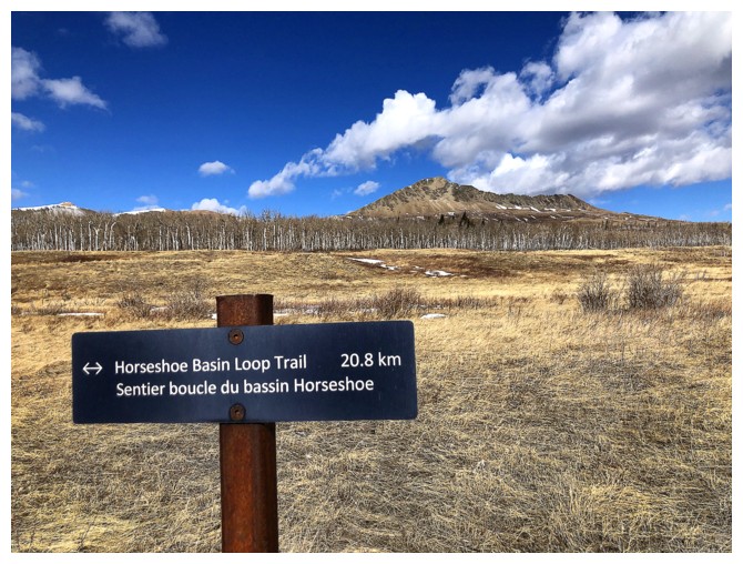
The first trail sign and the east leg of Lakeview Ridge
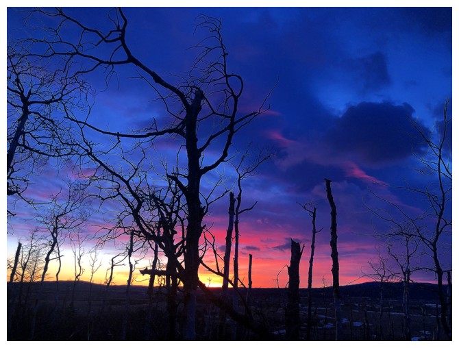
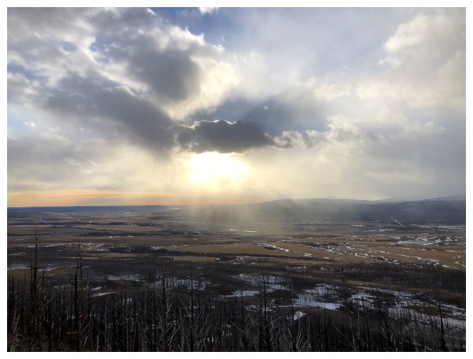
The early morning cloud did make for a nice sunrise
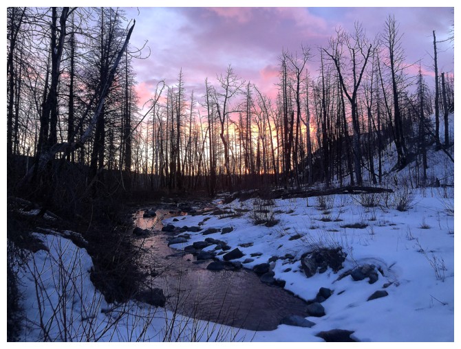
Crossing Galwey Brook
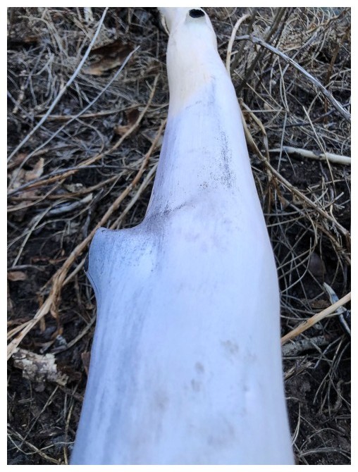
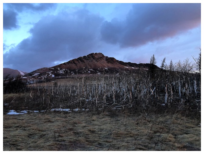
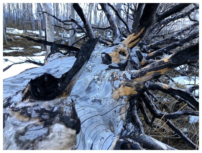
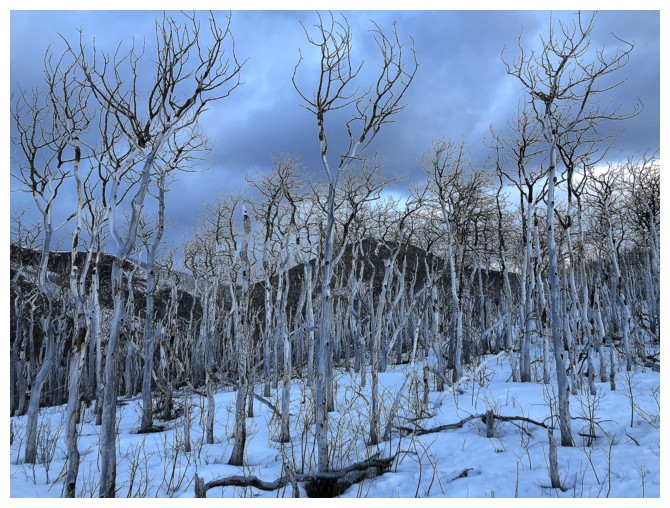
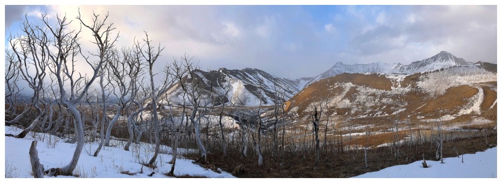
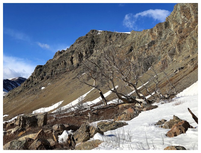
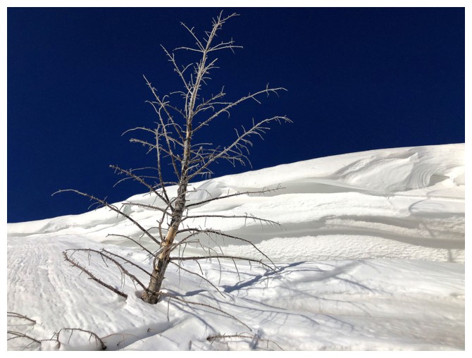
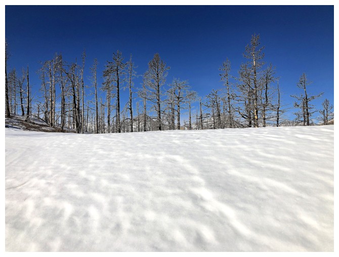
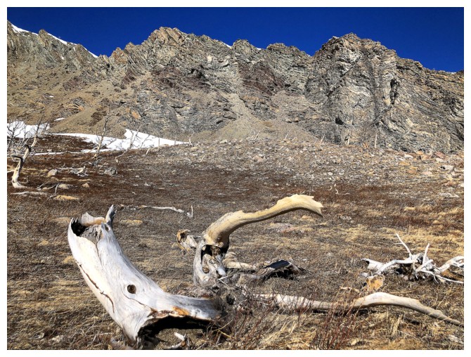
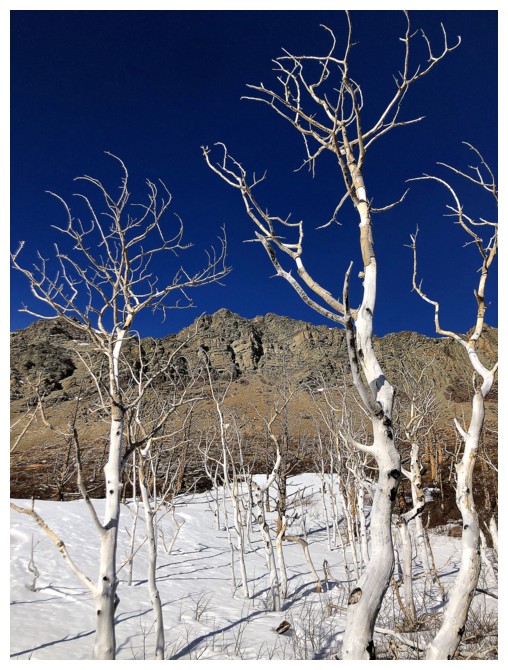
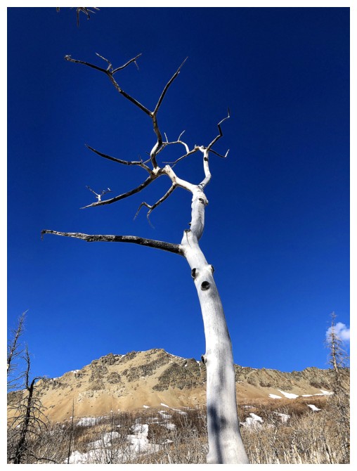
Lots of stark, white, bark-stripped trees in this area
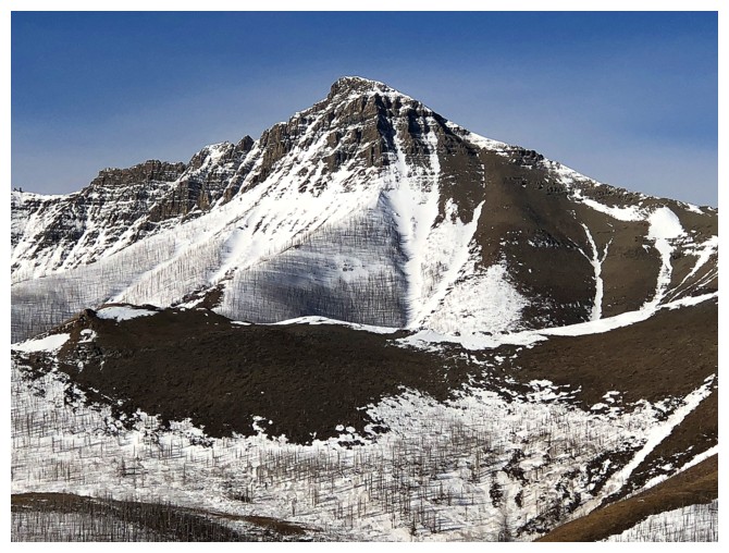
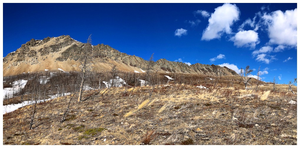
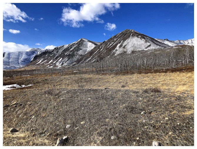
The most easterly of the four main summits of the Lakeview Ridge Horseshoe
Grumpy Hiker on Good Trail (title of my new novel!)
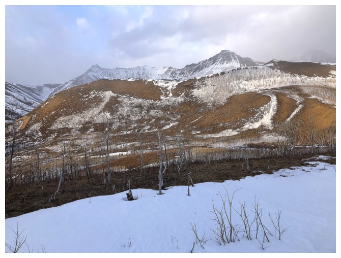
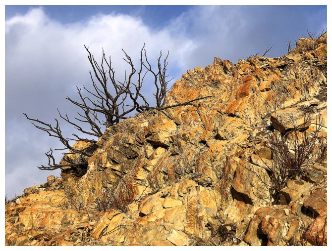
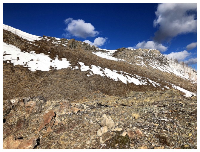
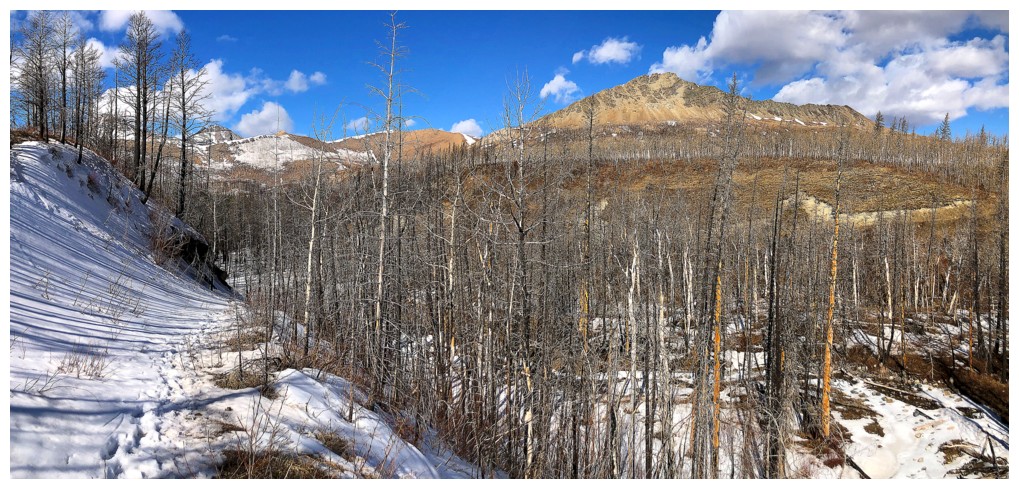
Some of the results of the Kenow fire
Same as above
Close-up
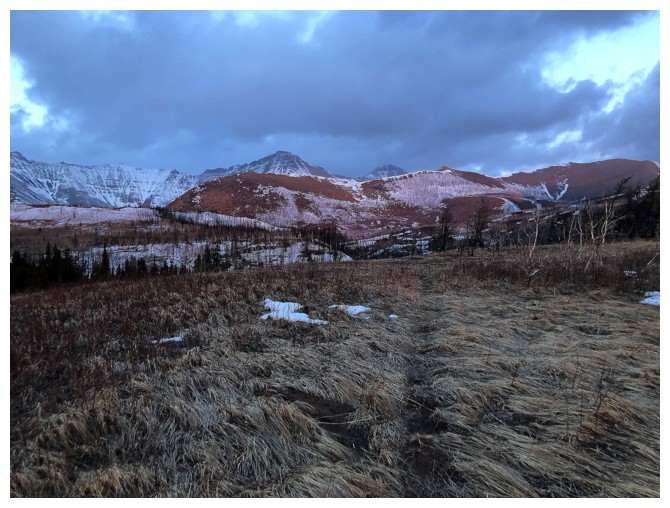
Entering the area in the middle of the Horseshoe. The true summit of Lakeview near the left.
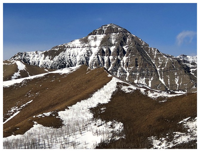
Looking over to the east summit
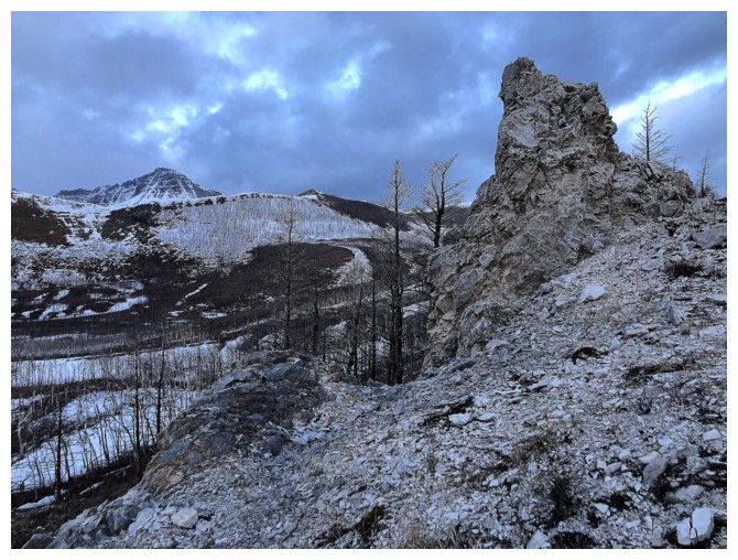
Nice pinnacle
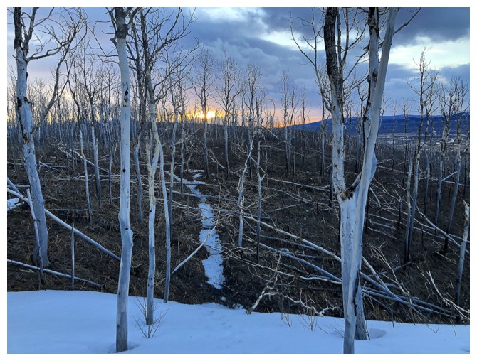
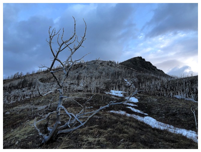
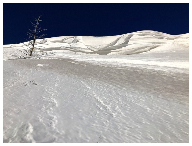
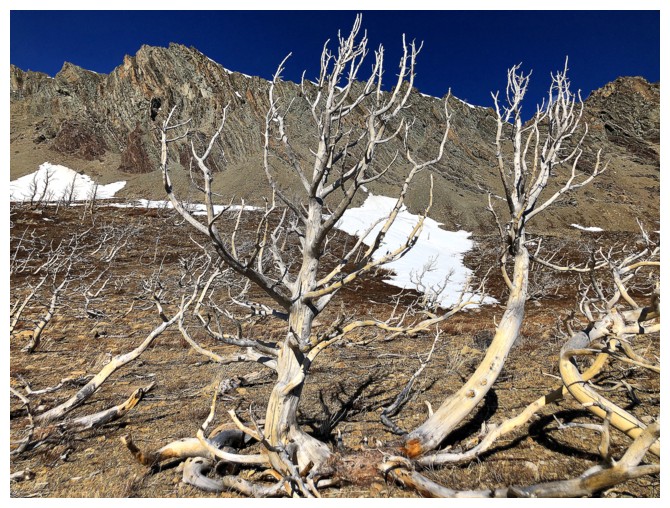
Back to an area with white trees
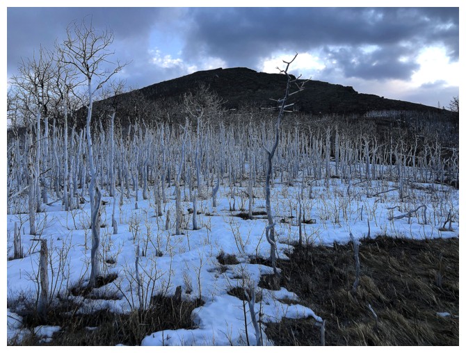
White trees and the east summit
Galwey, Rogan, and the awesome traverse between them
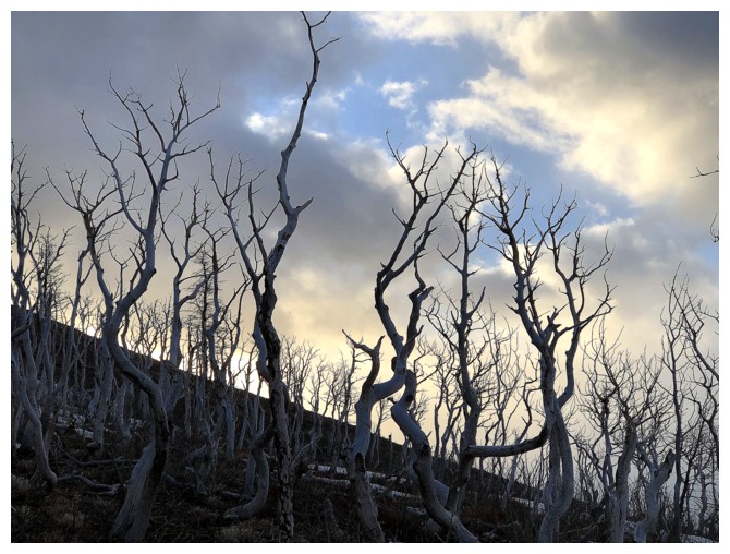
Eerie, yet optimistic!
Signs of clearing
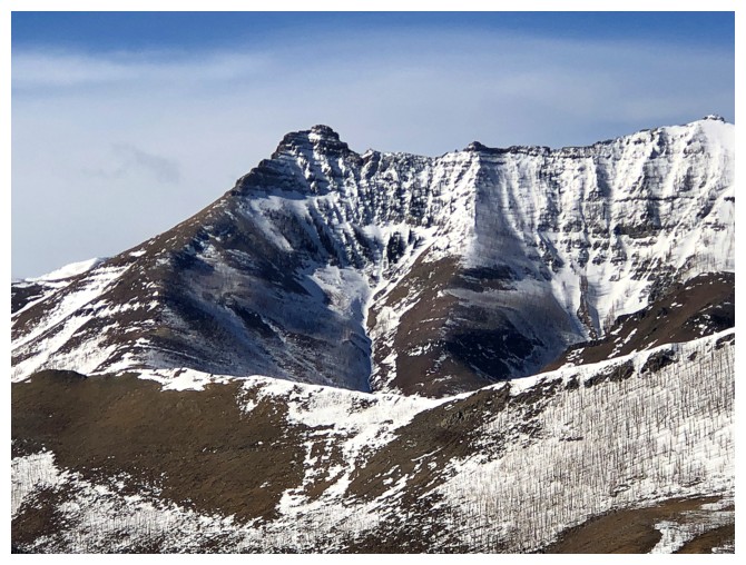
Gaining a little elevation towards the east summit before descending onto the slopes at the right
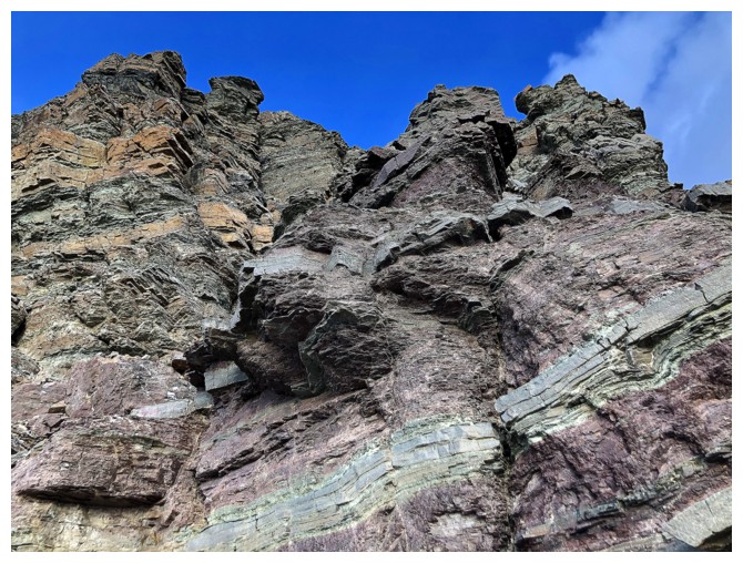
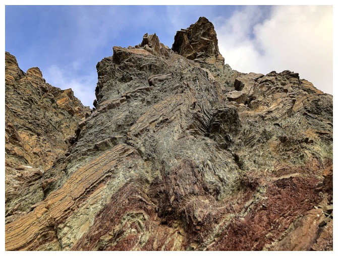
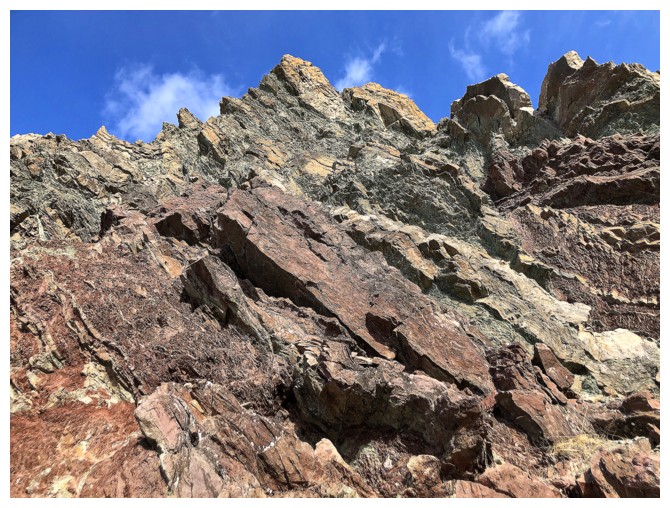
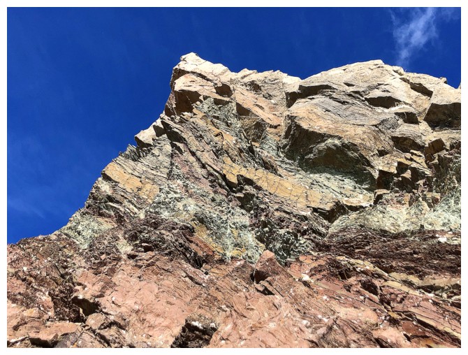
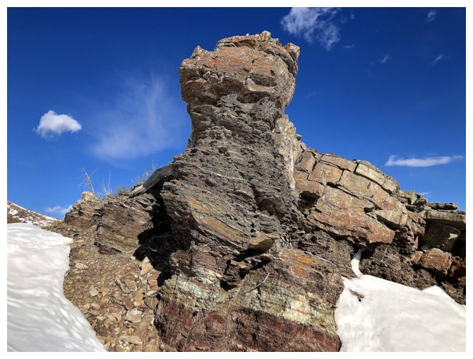
Cool rock here
Kind of a Biblical feel here!
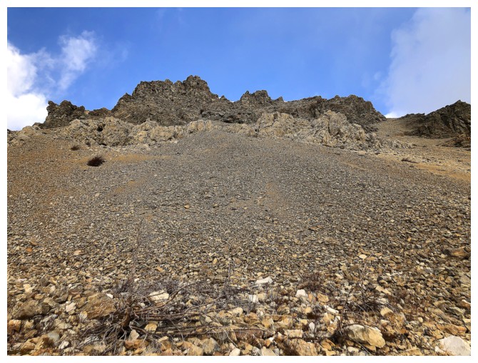
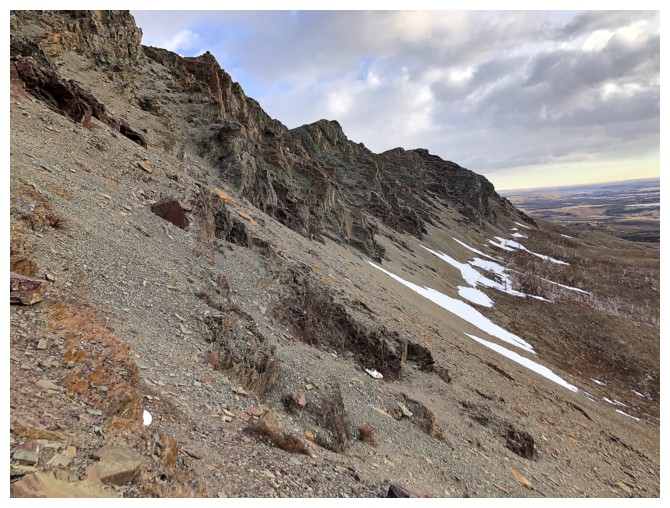
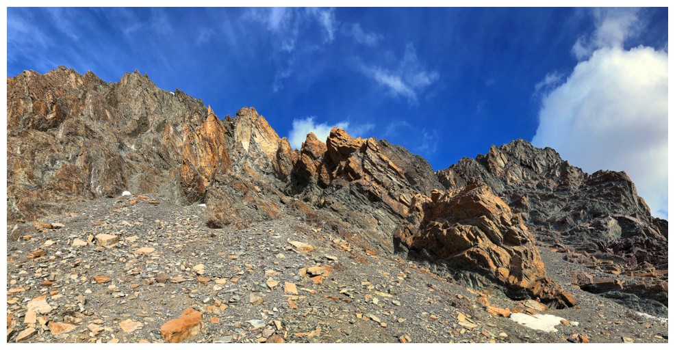
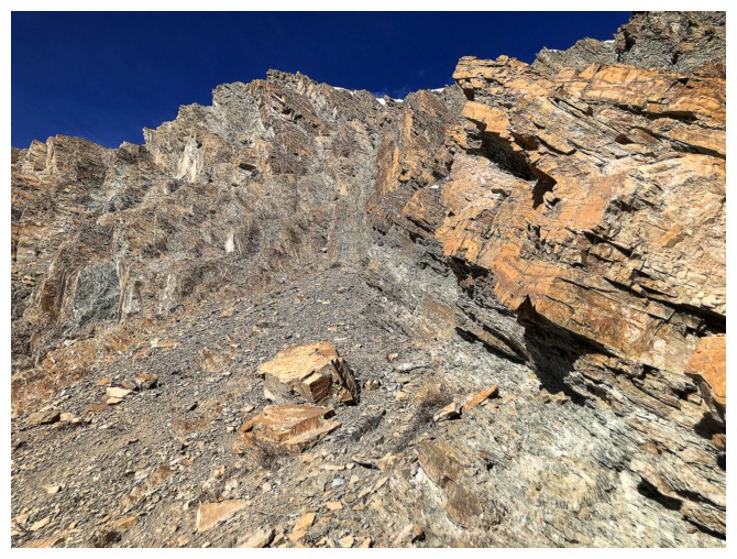
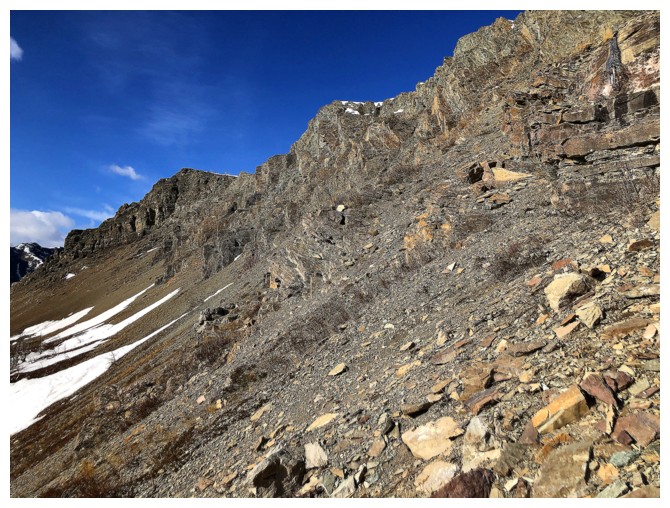
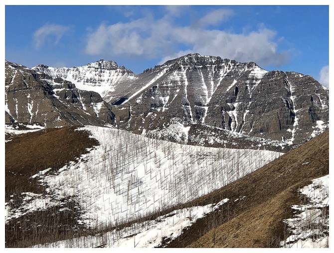
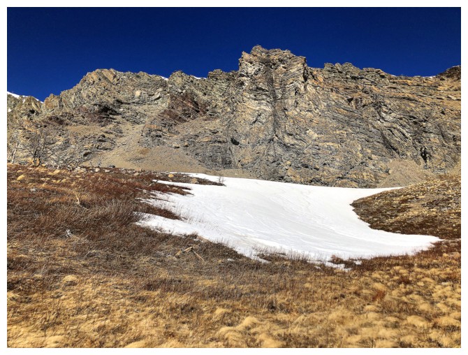
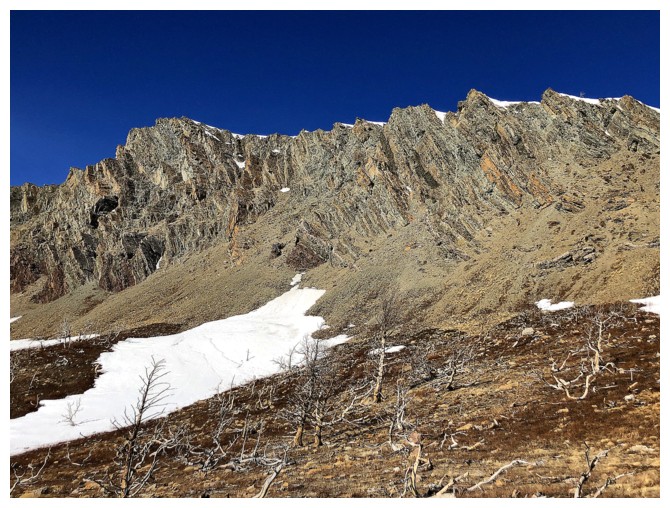
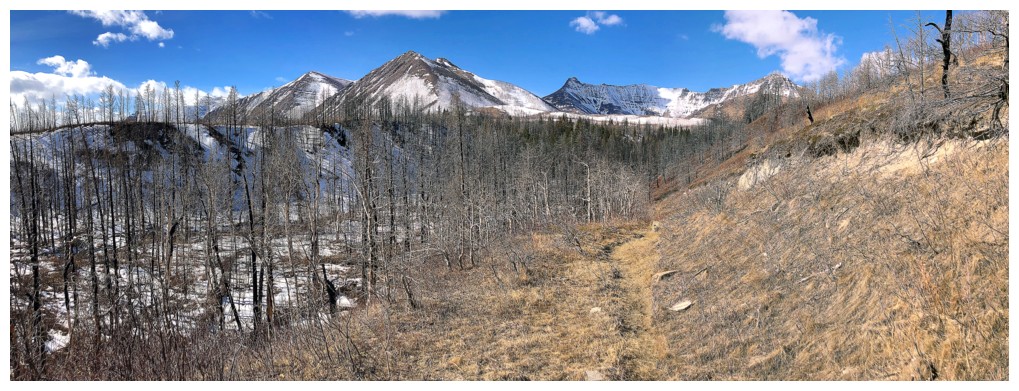
The start of a long scree traverse around the south and east sides of the mountain
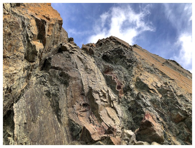
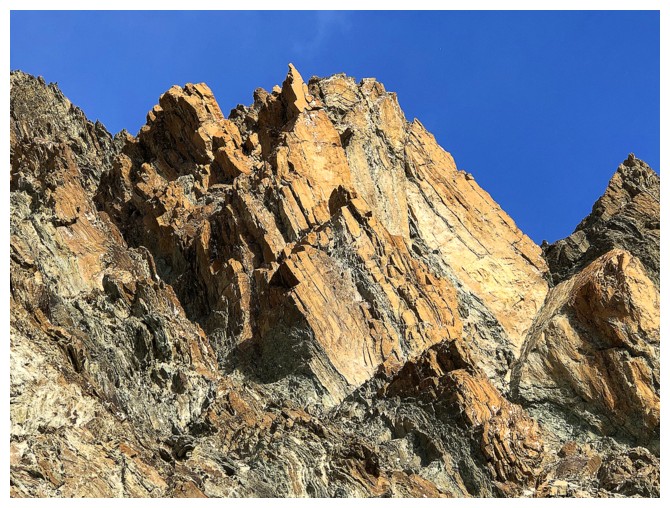
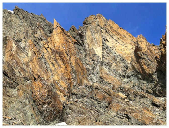
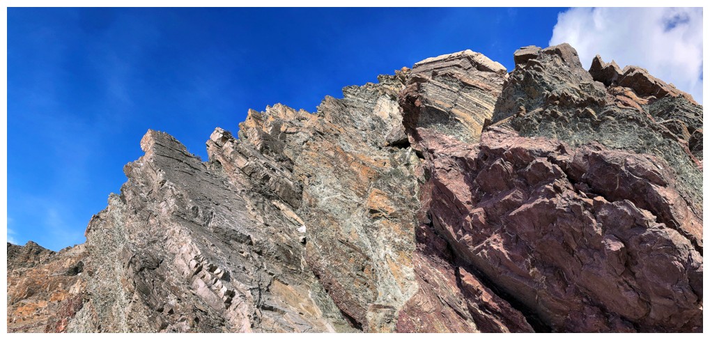
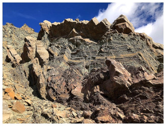
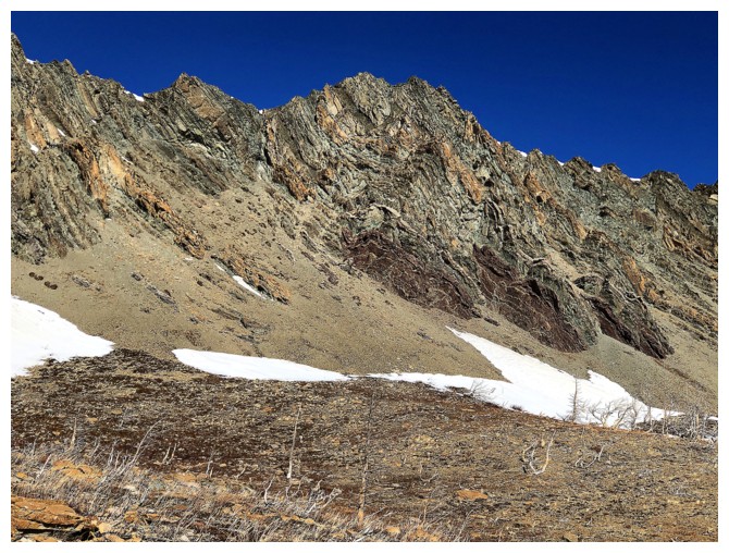
And also the start of some of the best rock scenery in the area
Here we go!
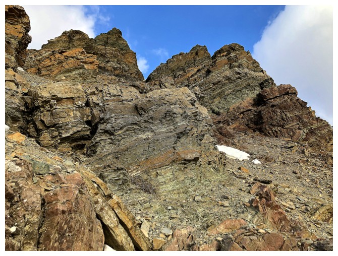
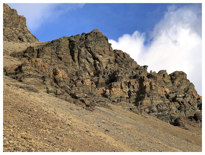
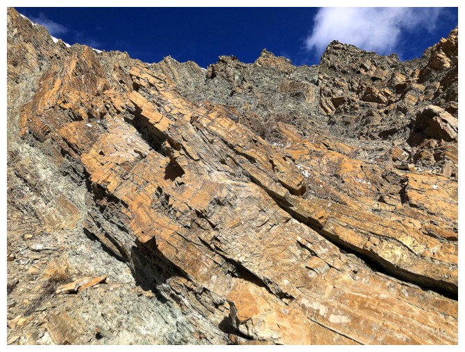
The route under the east face
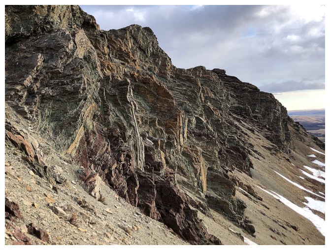
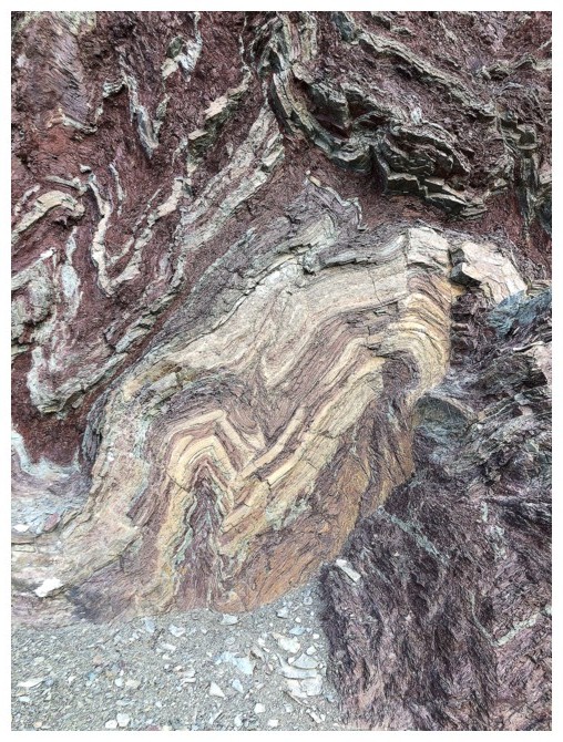
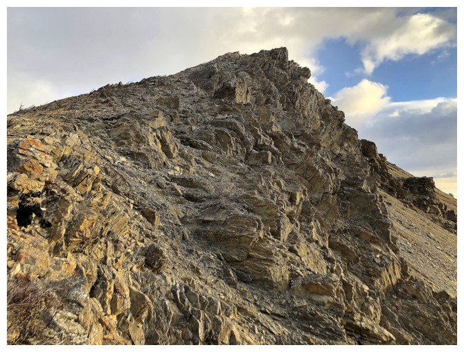
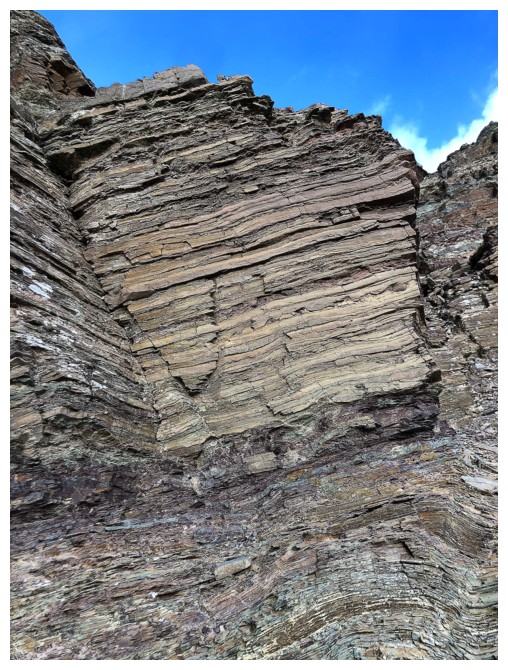
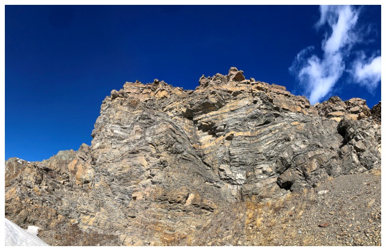
Insane rock folding
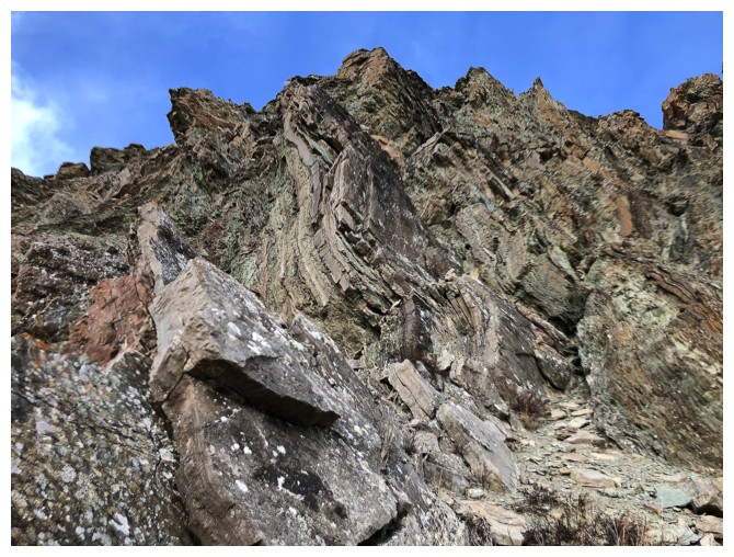
Still going!
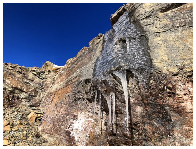
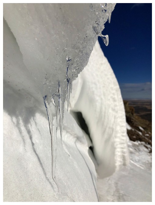
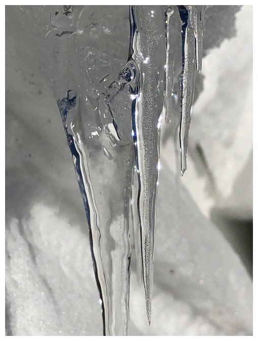
The only ice I could find remaining on the east face
Close-up
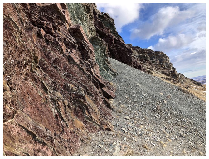
Looking back at the traverse
View to the south from near the end of the traverse
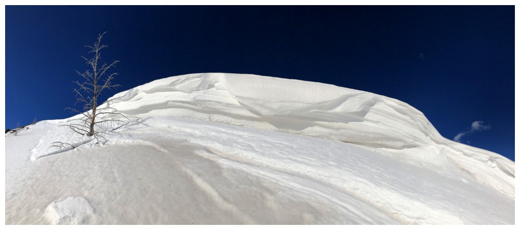
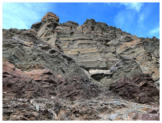
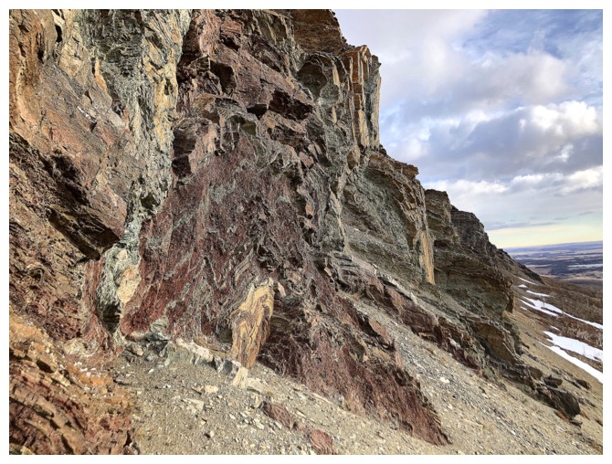
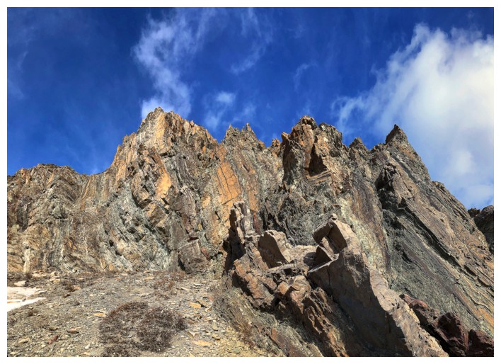
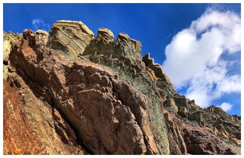
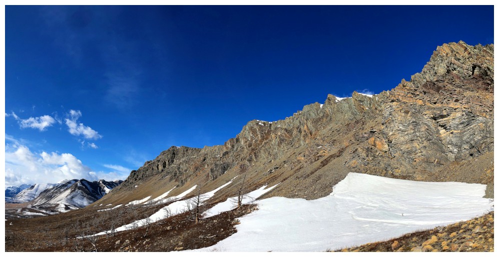
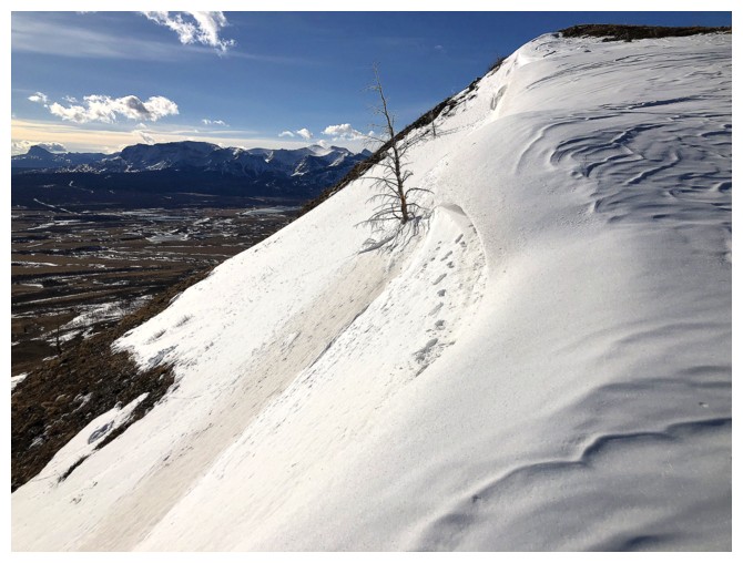
The awesome rock bands of the east face dwindle down to almost nothing
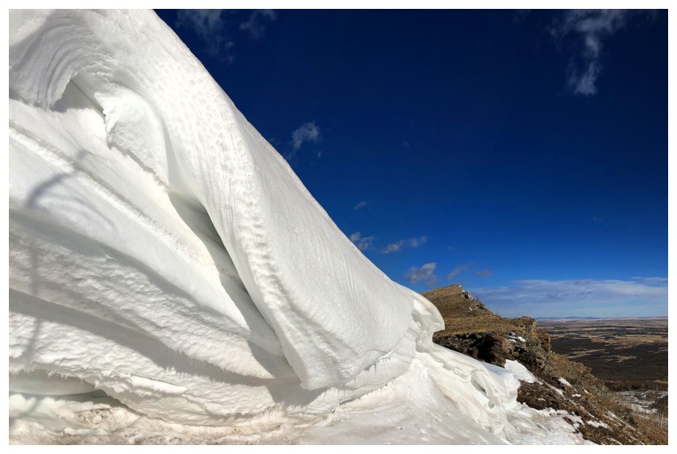
at the end. Here is where the cool snow scenery was found.
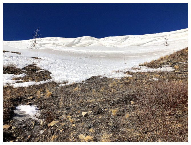
Heading up to it
Here we go - Round 2!
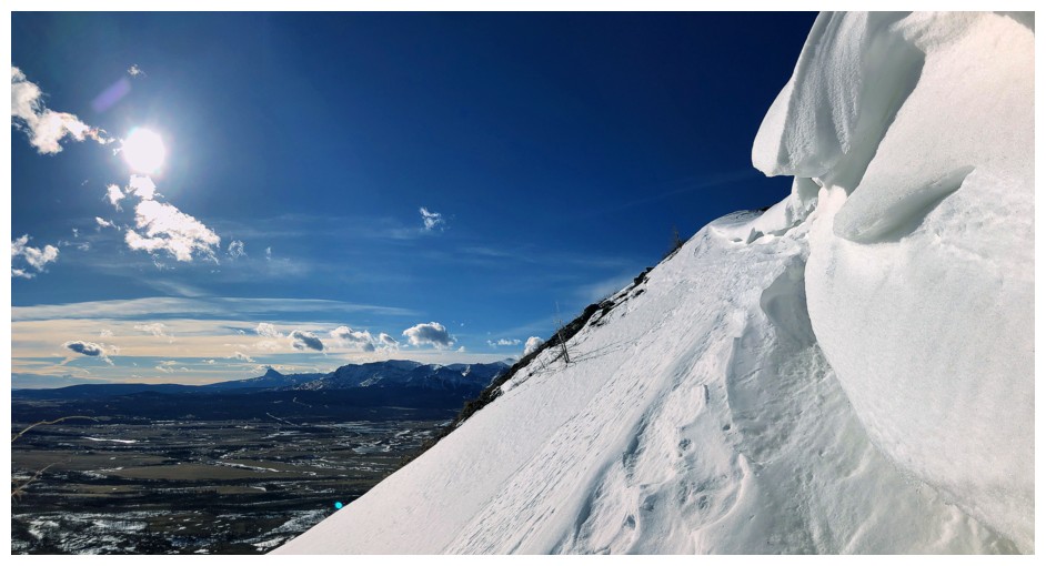
Love the simplicity of snow and blue sky
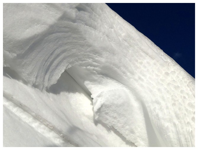
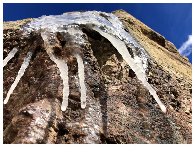
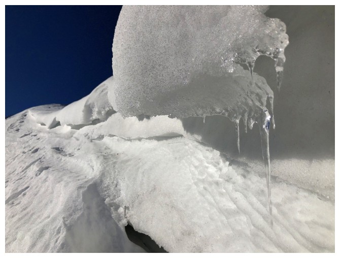
Close-up time
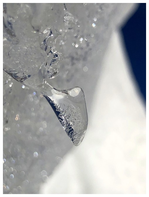
Real close-up!
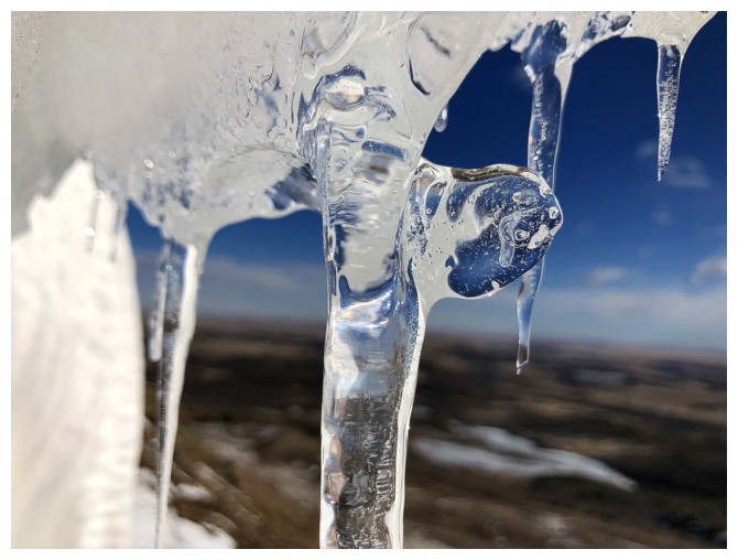
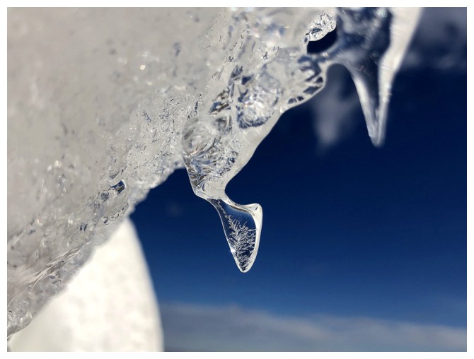
One of the coolest formations
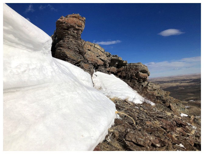
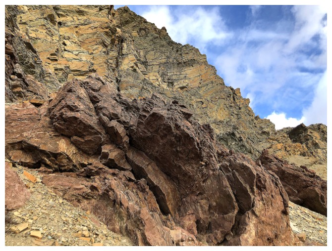
Adding some colourful Waterton rock to the mix is never a bad thing
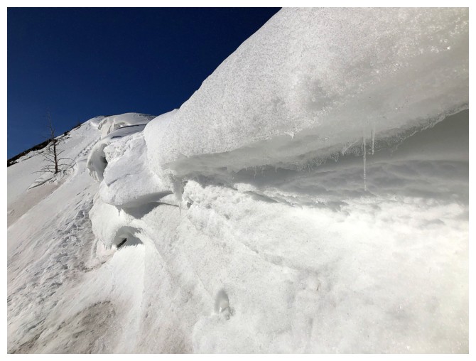
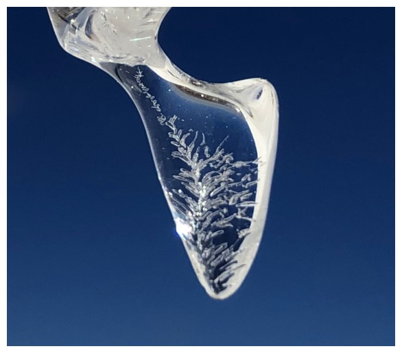
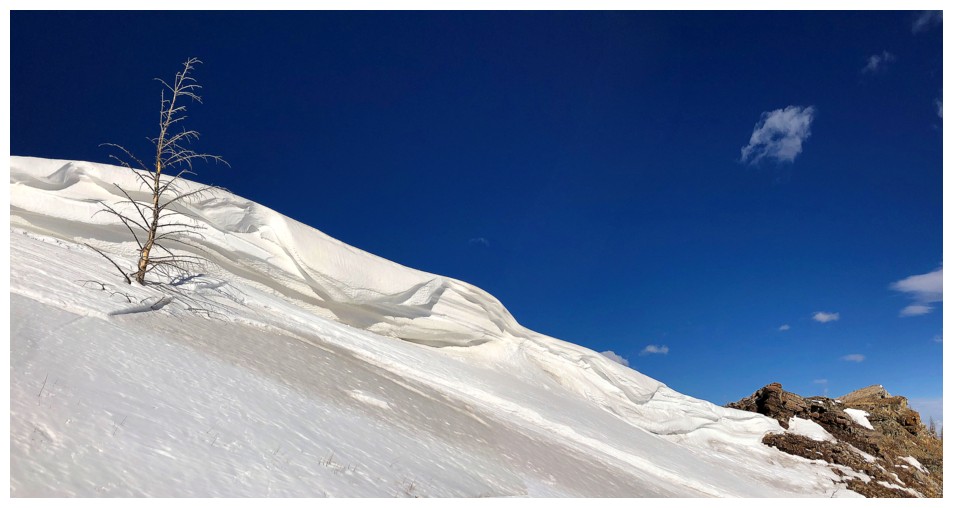
Last look at the snow..
...before gaining the ridge next to this rock
Simple too
The highpoint I'm going to gain
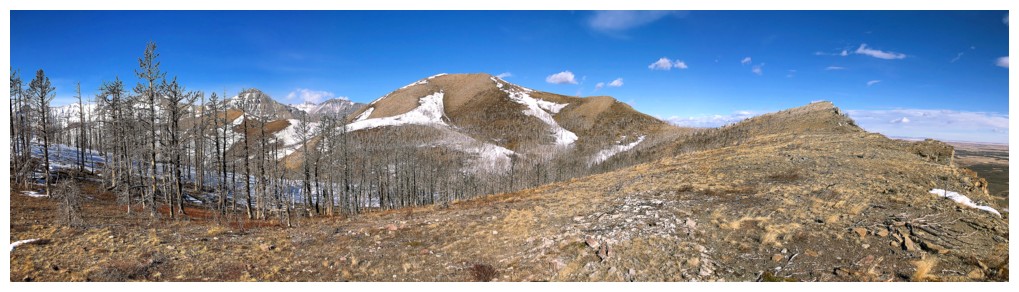
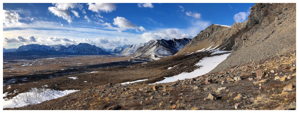
The northeast side of the Horseshoe is visible here. From many angles
the summit in the middle appears to be higher than the one to the west
(the true summit).
Almost at the highpoint
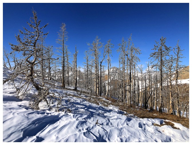
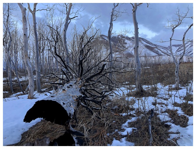
Still fixated with the trees
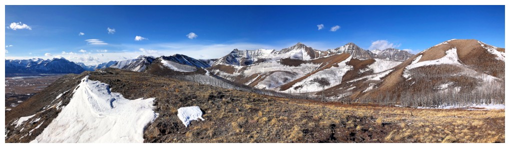
View from the highpoint
Same as above. Here is an example of where the summit in the middle
looks higher than the true summit (darker brown peak, left of centre)
Rogan Peak
Mount Dungarvan
Cloudy Ridge (left) and Cloudy Junior
Mount Galwey
Mount Cleveland peeks over Vimy Peak
Another quick round of the snow scenery
Leaving, but fully satiated
Round 4
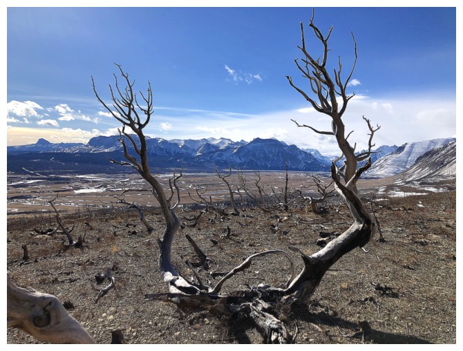
The advantage of taking a return route lower down was the abundance of twisted, dead tree scenery
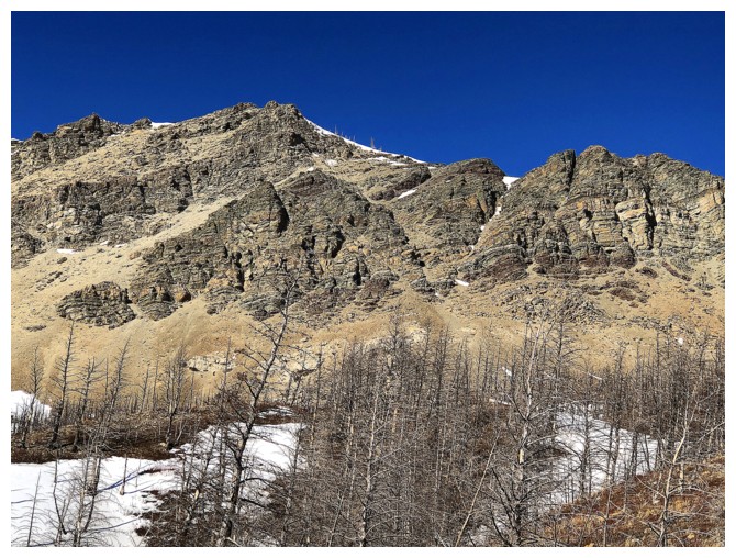
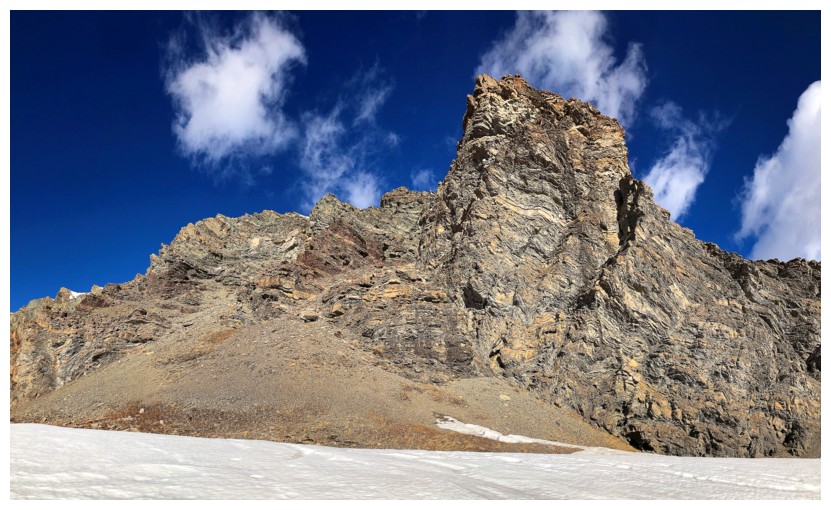
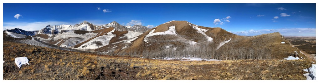
The east summit. Mark and I ascended the left to right trending gully, right of centre, on our first ascent of Lakeview in 2009
Bellevue and Galwey in the distance
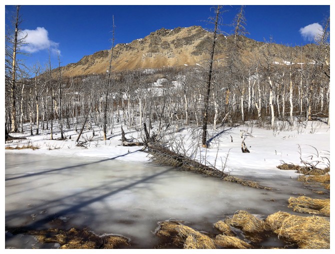
The east summit and the east face looking much better with clear skies
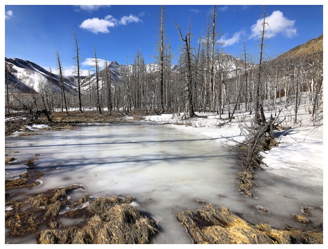
Can't ignore other interesting aspects of the trip, such as this natured-created skating rink
Same as above with the east summit
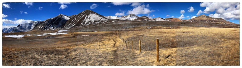
Back on the boundary trail
Except for the little detour to cross Galwey Brook, the trail is straight as an arrow
Where the trail descends to the Brook
On the other side and ascending back to the straight trail
Bellevue Hill again. So many interesting routes up this mountain.
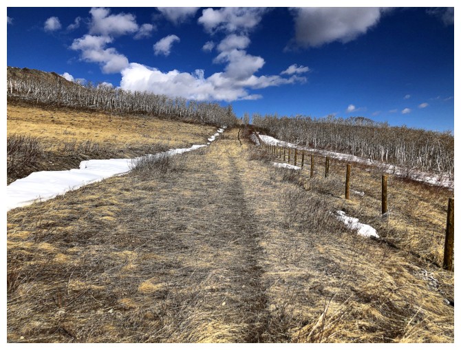
Back at the trail sign and looking a significantly more inviting than the morning view
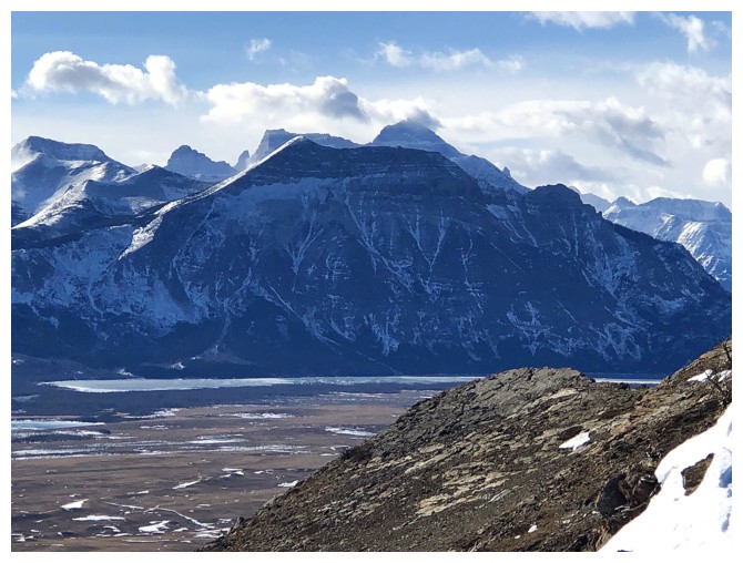
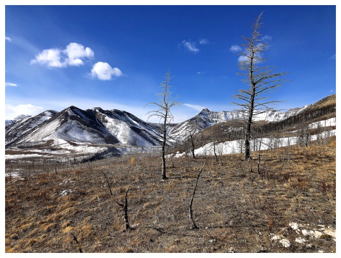
A tarn at the left at this time of the year. Good overview of the peaks in the area.
Left to right: Crandell, Bellevue Hill, Rogan, Dungarvan, and Lakeview Ridge
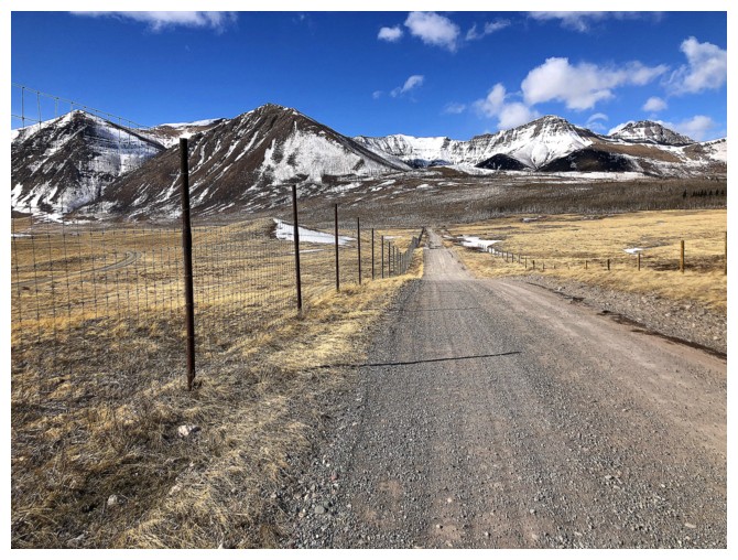
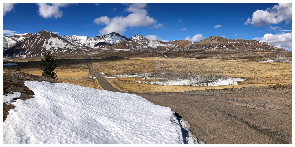
Hiking the road back to my car, because the road was closed to traffic
Parting look
The End
LOG