November 7, 2024
Mountain height: 2493 m
Elevation gain: 620 m
Ascent time: 1:50
Descent time: 1:10
Solo scramble.
 While this trip
started off with much promise, that promise died a slow death before reaching
the summit.
While this trip
started off with much promise, that promise died a slow death before reaching
the summit.
Having aged over
21 years since my first ascent of the relatively low mountain, a repeat trip up Mount Lipsett was overdue.
Initially, the
plan was to follow the standard 7 km trail to the summit of Lipsett from
near the Mist Mountain trailhead. However, driving up and down the road I
decided a trail-less but direct route up might be more interesting – and
shorter!
The route itself
was resounding success, fulfilling both the "interesting" and "shorter" criteria.
It also boasted the highest starting point and therefore the least amount of
elevation gain possible for the mountain. Sadly, the clear skies I started
under were eventually replaced with completely overcast ones. Views quickly went from
amazing to blah!!!
After a very
short summit stay, I wrote-off the idea of continuing to a lower highpoint to
the northwest, but did take a different route down the peak, descending a
parallel ridge.
Not the
triumphant return I had hoped for, but I did enjoy the route, and of course a
day in the mountains is never a wasted day.
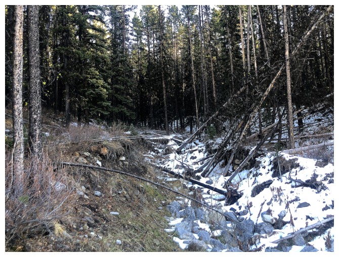
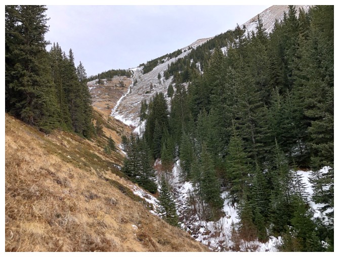
This drainage goes almost directly to the summit
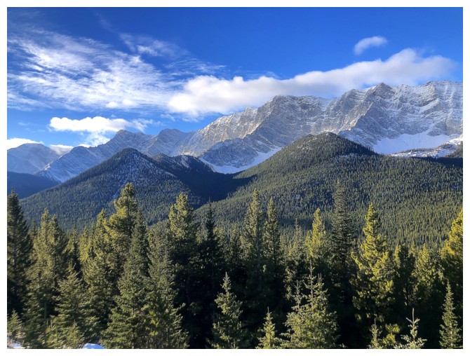
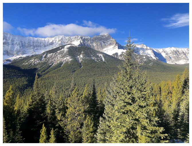
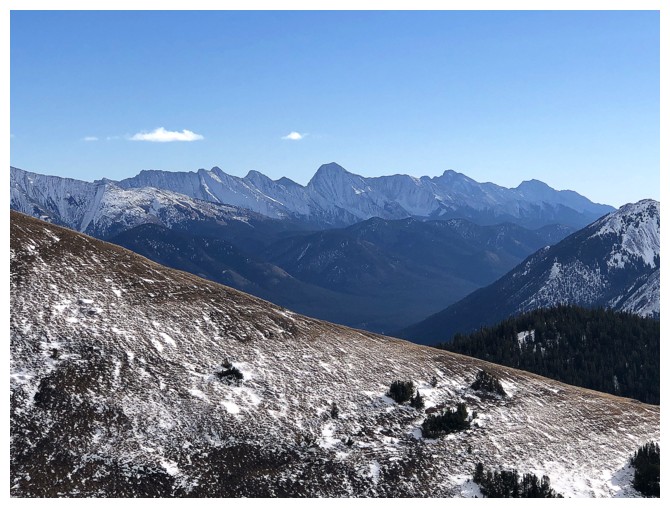
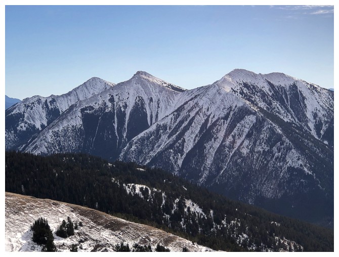
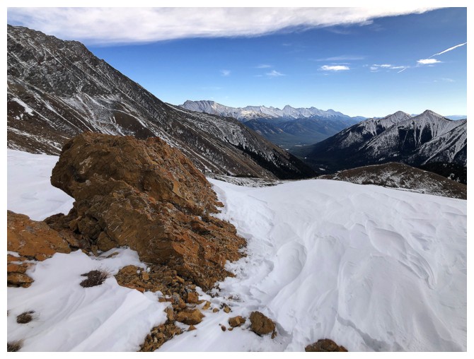
Good views of the Elk Range early on
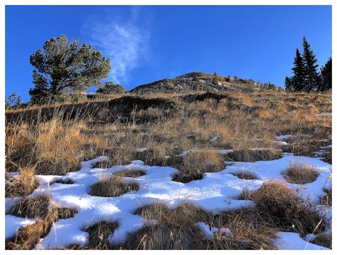
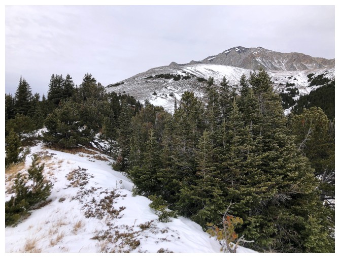
Once out of the trees, the grade eases
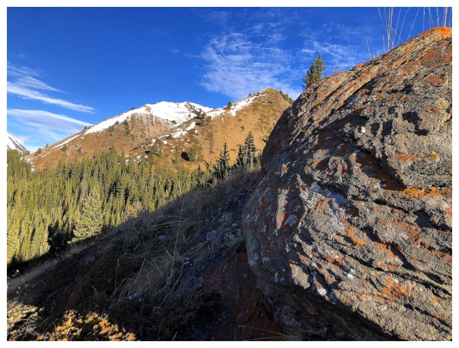
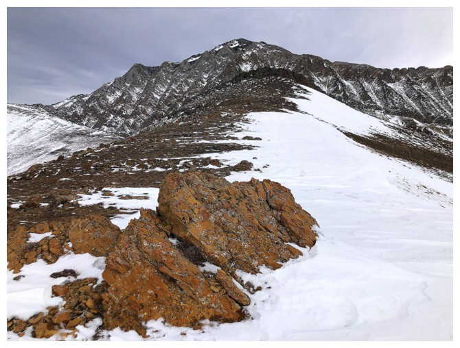
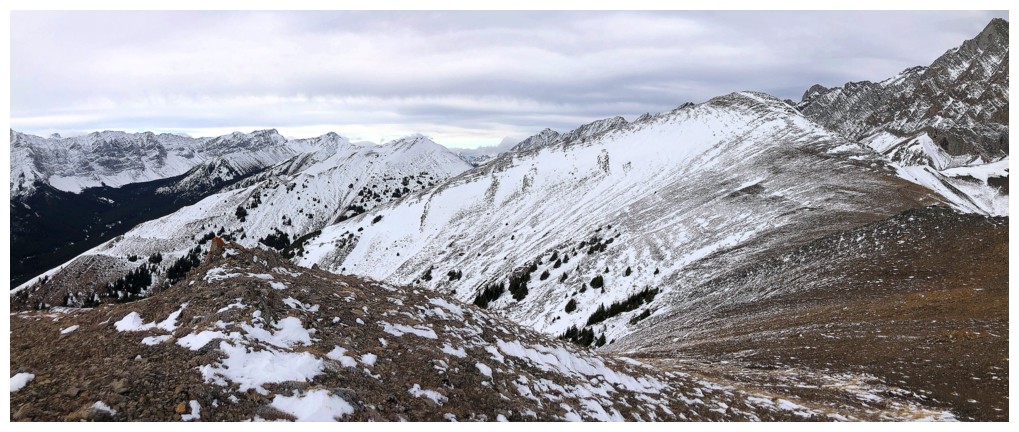
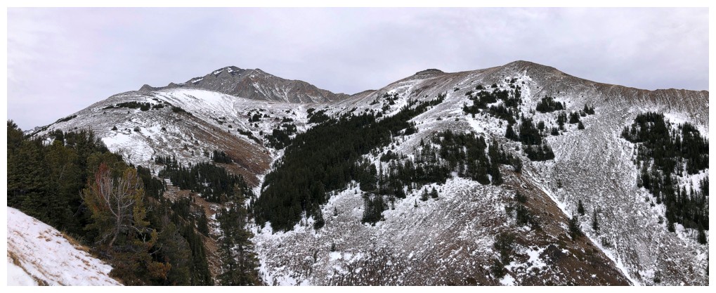
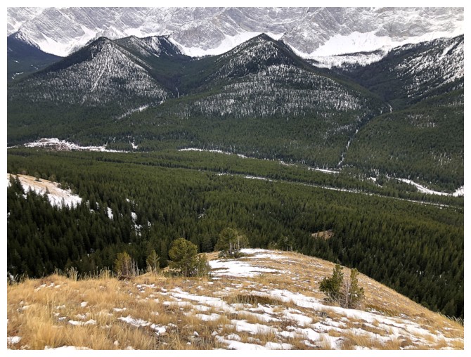
Looking over to the other two ridges. I came down the one that's closer.
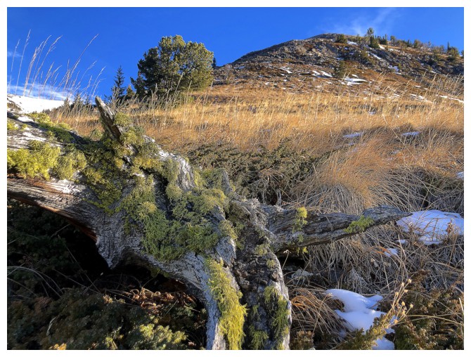
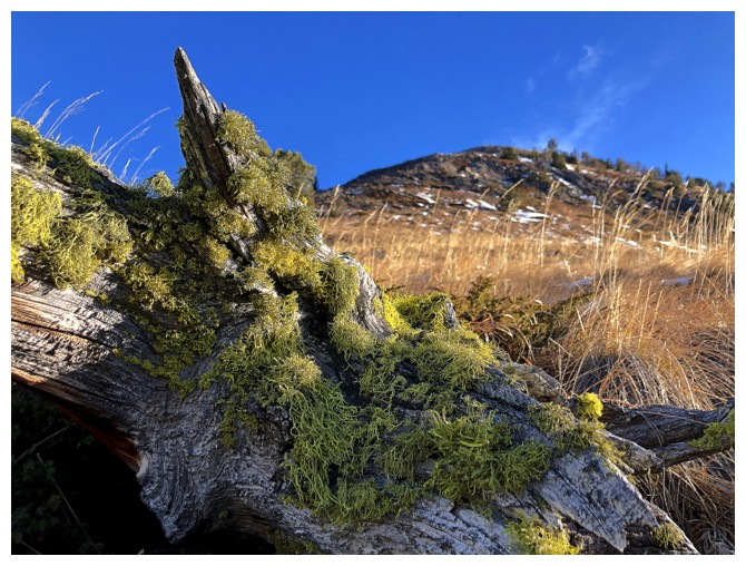
Pleasant mossy encounter
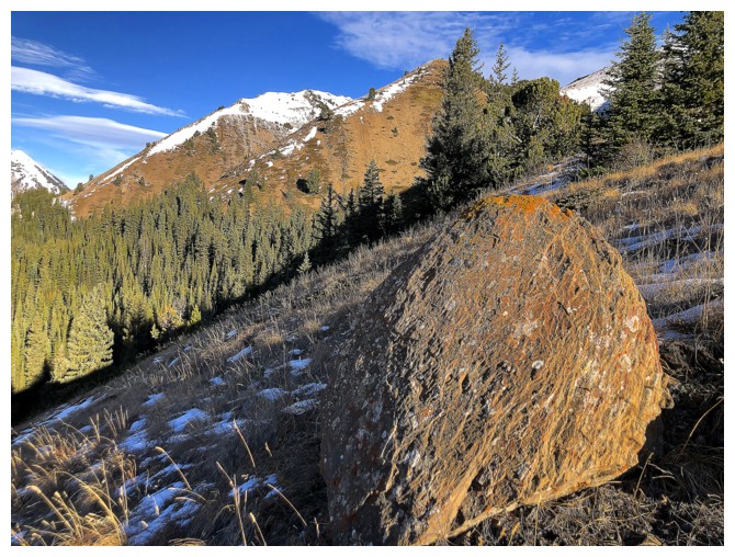
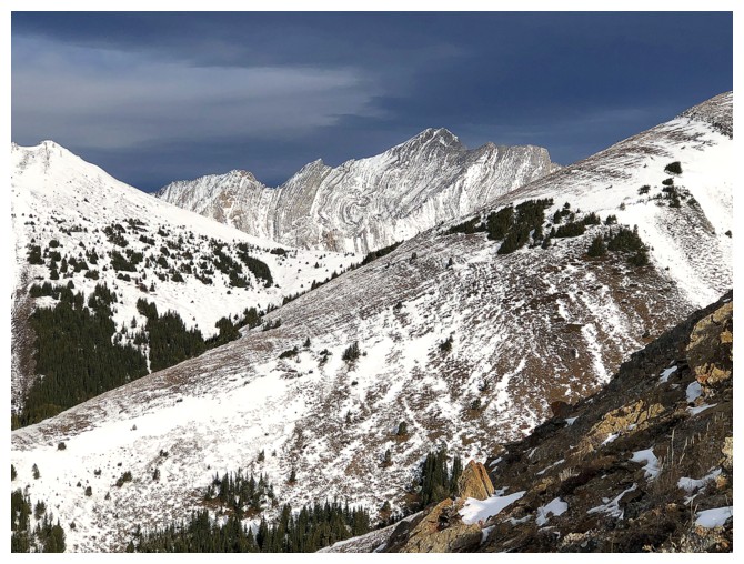
Big rock and those other ridges
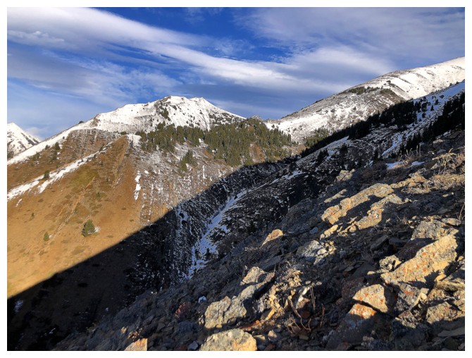
The lower, northwest outlier of Lipsett at the left
Here come those clouds. At this point they were entertaining, but that was short-lived.
Same as above
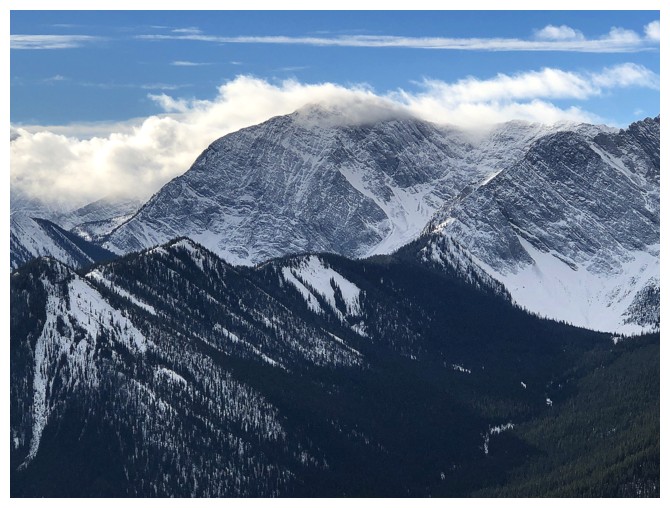
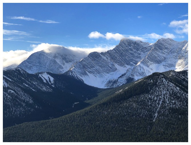
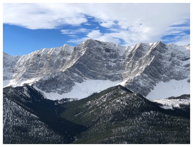
Storm Mountain just right of centre
Close-up of Storm
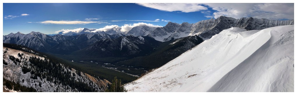
Cloudy pano to the north
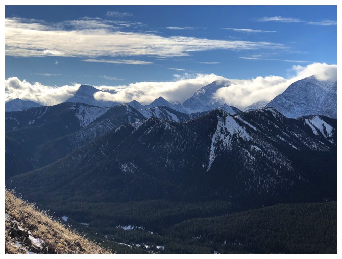
The weather to the south has not yet succumbed
Looks like it would have been a good day to try Mount Head (centre) or Holy Cross Mountain (right)
Same for Odlum Ridge
A southern outlier of Storelk Mountain
Conditions over Storm Mountain are now looking "stormy"!
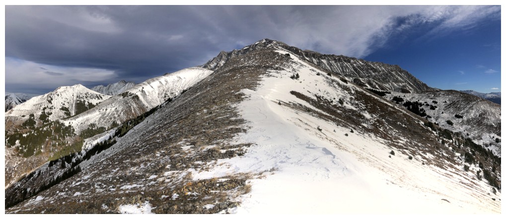
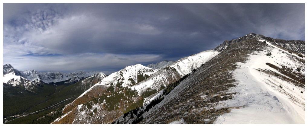
Looking back along the ridge
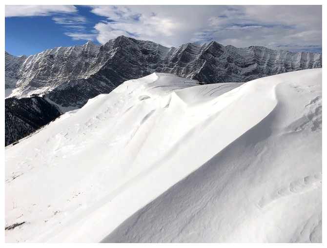
Early signs of winter. While I'm looking forward to winter snow scenery, I'm far less excited about winter temperatures!
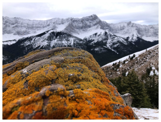
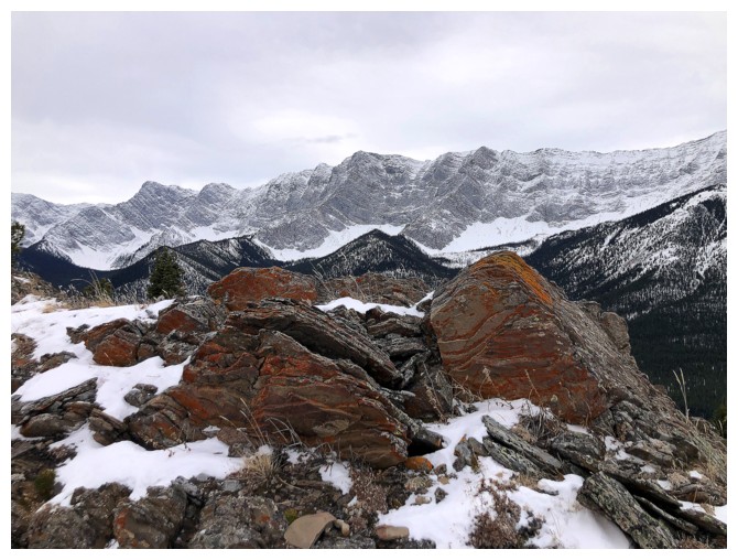
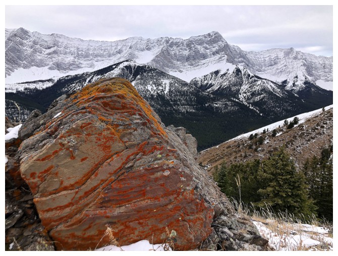
Another pleasant encounter - this time with colourful rock
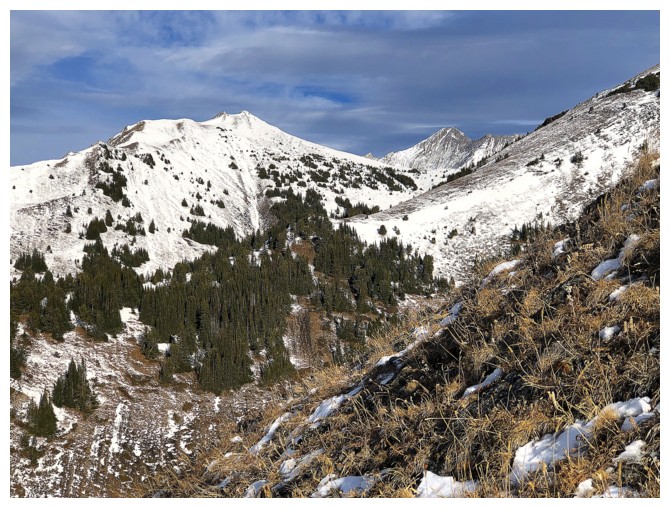
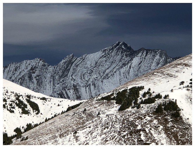
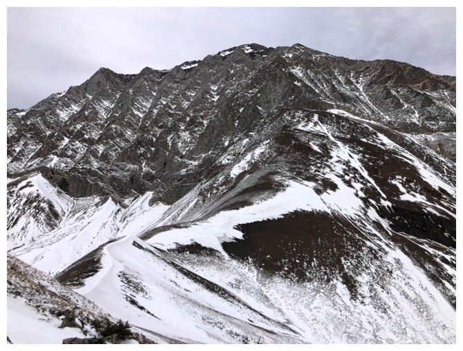
Mist Mountain in front. The summit of Lipsett is out of the photo at the left.
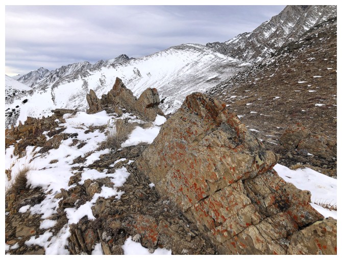
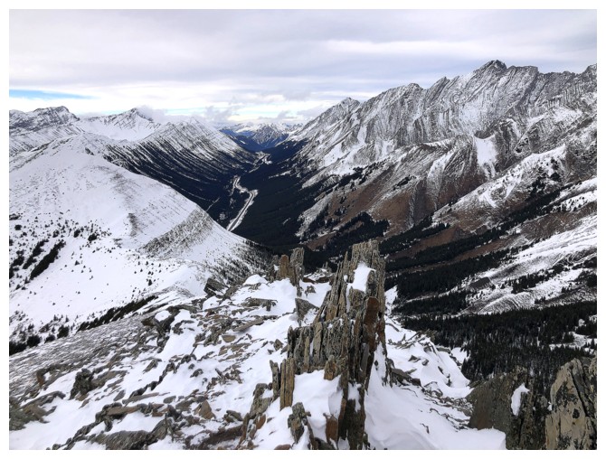
Cool fins of rock and the indistinct summit of Lipsett in the centre
Summit near the right and almost ready to join to normal ascent route at the far right
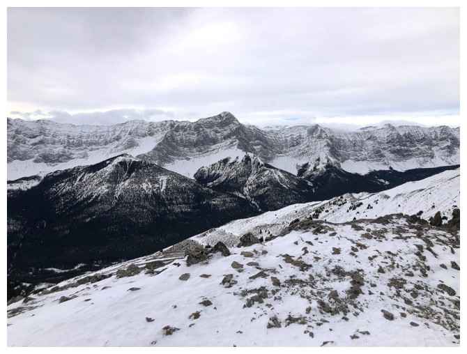
Mist Mountain - I very much want to repeat that ascent someday with Mark
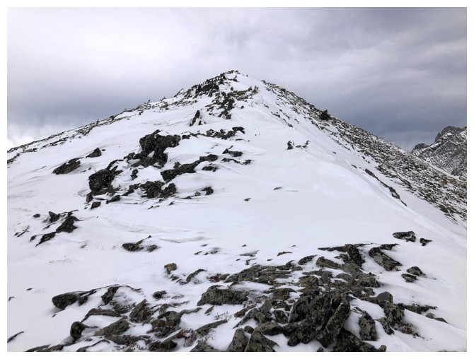
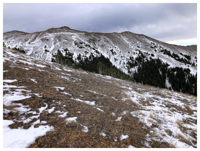
Easy trudge to the top
The south is still bathing in Sun
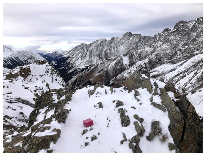
At the summit. Weird place for the register!
Storelk Mountain
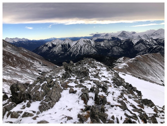
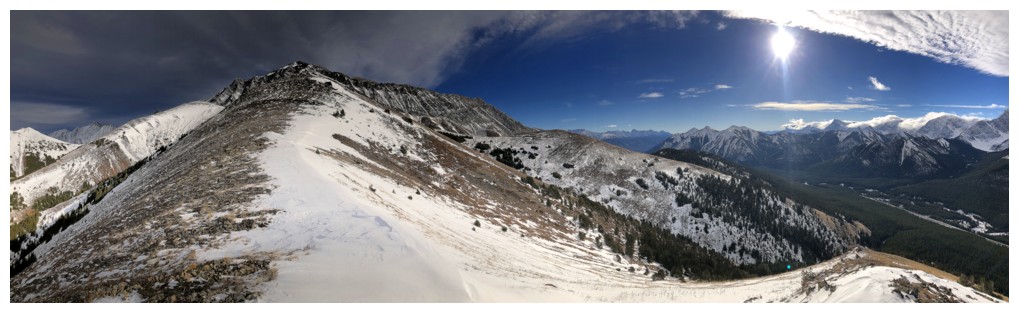
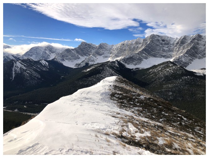
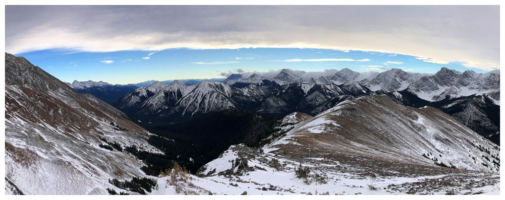
View to the south
The ridge I ascended at the left
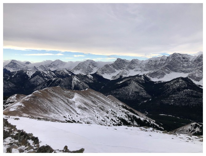
View to the north
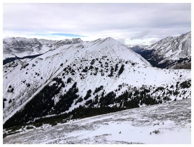
The northwest outlier I would have attempted had the weather not turned into Suckville!
Heading down the other ridge
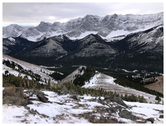
Looking over to the ridge I ascended
This would have been much better with clear skies
Same as above

Ascent ridge
Descent ridge
Both ridges
Looks like there's a bit of a bushwhack to reach the road, but it was light and easy
Back in the drainage I started in, but on the other side
The End
LOG