“Little
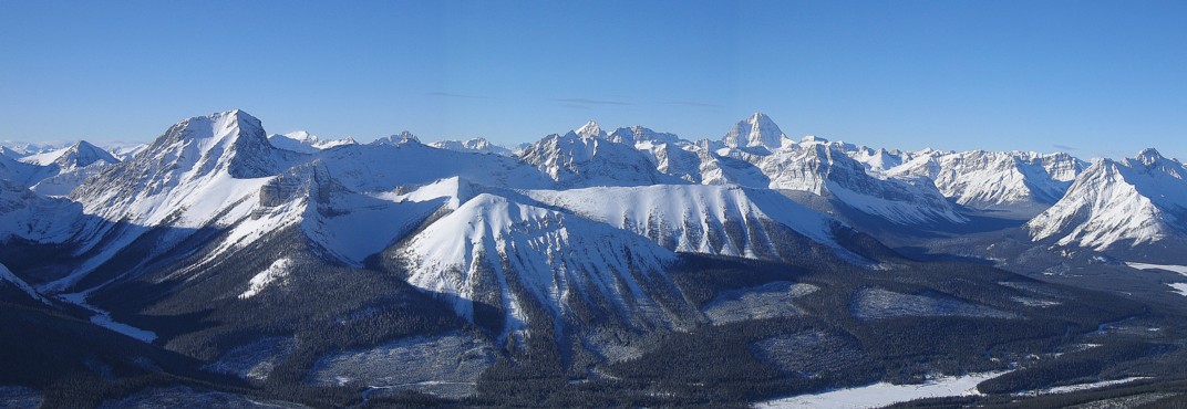
Galatea”
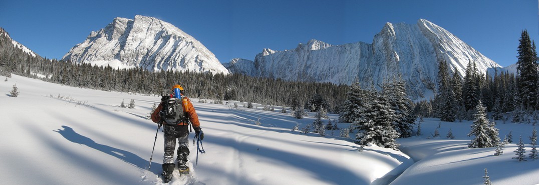
January 3, 2009
Mountain height: approx.
2700 m
Elevation gain: approx.
800 m
Ascent time: 4:30
Descent
time:
2:40
Snowshoeing with Mark.
“Little Galatea” is the lowest of the three main highpoints
of Mount Galatea (really it isn’t – I’m just
calling it that!) Having thoroughly enjoyed an ascent of Rummel Ridge, a week
earlier, we set out to attempt this very similar peak, several kilometres to
the southeast. Rummel Ridge was Bob Spirko’s idea and this trip was suggested
to me by a good friend (who cooks a wicked prime rib!)
Leaving
the parking lot early, under frigid temperatures, we hiked to a point just
before Chester Lake and then put on the snowshoes. Lucky
there was two of us to share trail-breaking duties, because getting to the base
of the peak was Grueling with a capital ‘G”! The first section of the ascent
gully was fairly steep and given the avalanche hazard we ascended through the
trees to the right. This was GRUELING with all capitals, but thankfully, quite
short. After that, we ascended the more gentle slopes of the main gully, in
outstanding weather conditions. The sky was flawless – a shade of blue that was
almost hypnotic to look at. Of course, the view to the west and southwest was
spectacular and just got better and better throughout the ascent.
Upon
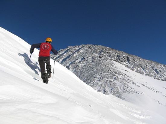
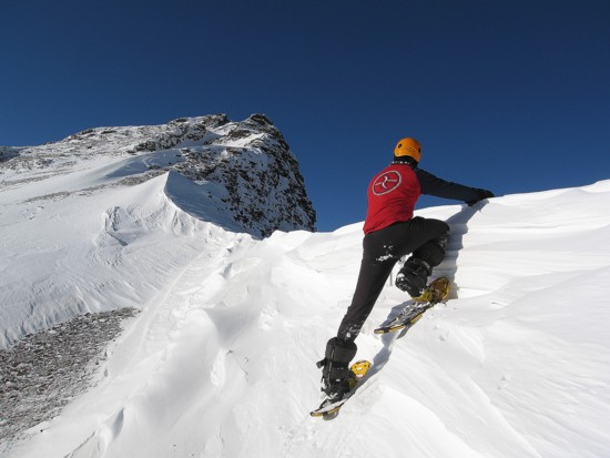
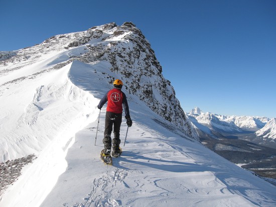
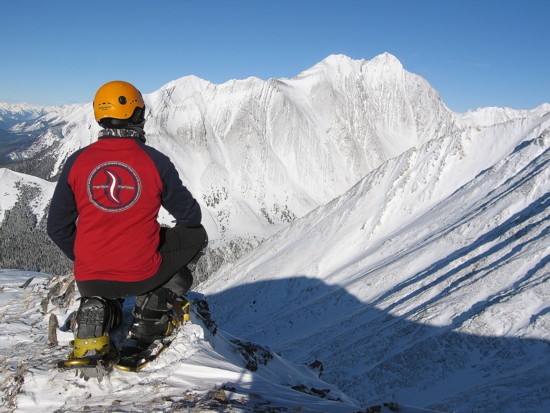
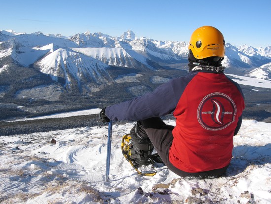
reaching the ridge we had a task to complete before going to the summit. Mark
was entering a competition to try to win backstage passes to one of the best
bands in the world – Marillion. His idea was to send a photo of me wearing a
Marillion t-shirt on a mountain. Snow piled up on the ridge in shapely
formations provided some wonderfully background scenery. Combined with the
perfect weather this seemed to be a good opportunity to try the photos.
Thankfully, Mark’s t-shirt was big enough to fit over my three other layers of
clothing, as stripping down to a single t-shirt in temperatures around -25 degrees
Celsius would not have been to my liking!
This
process took about 30 minutes and then it was a quick and scenic hike to the
summit. Although very similar to the summit view I saw on Rummel Ridge the
previous week, the flawless sky made the panorama infinitely more stunning.
Smuts and Assiniboine were magnificent. Nearby
The Tower and Mount
Chester were also looking
quite grandeur.
We
opted to take an alternate descent route down the south ridge in order to check
out the cornice scenery. This started off well, but soon we were forced onto
steeper snow slopes on the southwest side of the peak. Once down, more grueling
trail-breaking ensued around the south side, in order to get back to the trail
we made. In retrospect, going down our ascent route would have been far easier
and safer. Once back onto our tracks, the remainder of the descent was very
easy.
An
outstanding trip and a memorable start to 2009.
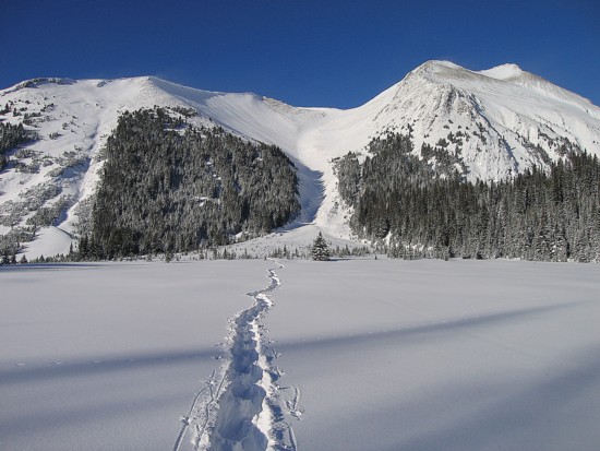
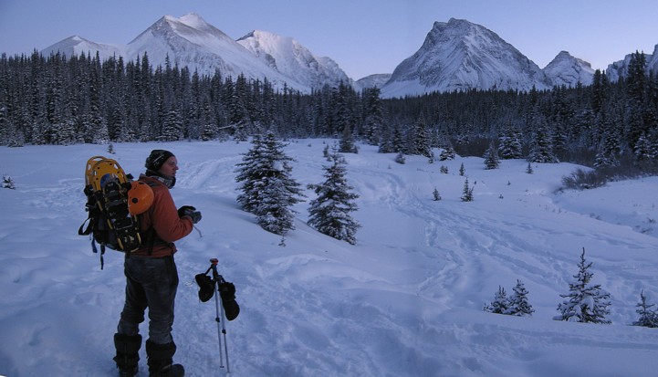 Approaching the Chester Lake area. Little Galatea is the little bump at the far left
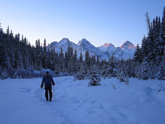
Mountains of the British and French Military groups are behind us
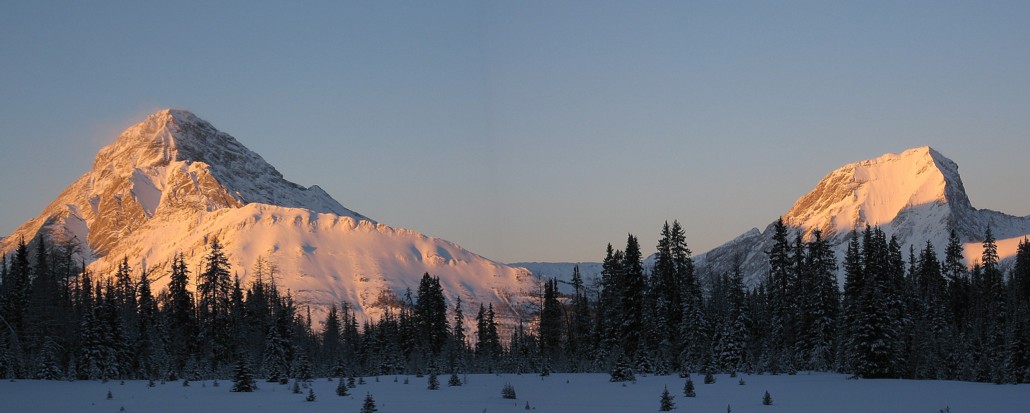
Alpenglow on Commonwealth Ridge, Commonwealth Peak (both in front of Mount Birdwood), Mount Birdwood, and Mount Smuts
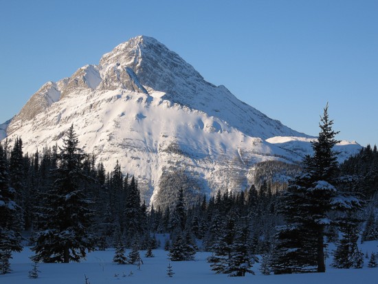
Birdwood without alpenglow
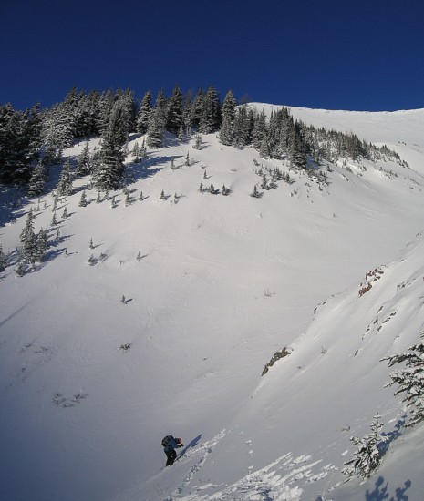
Mark traverses back into the ascent gully
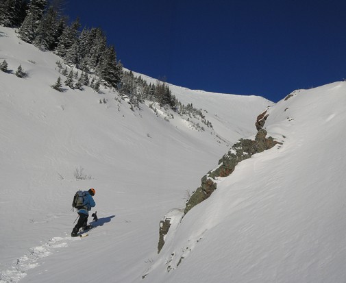
Preparing for the long ascent up the gully
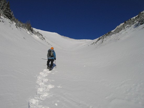
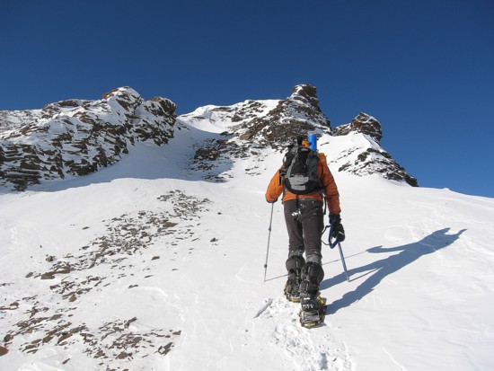
Nothing but beautiful blue sky ahead
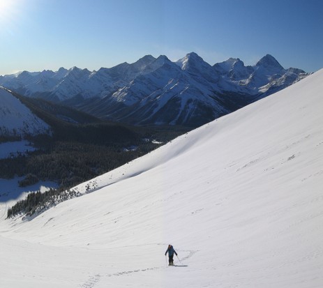
And great mountain scenery behind
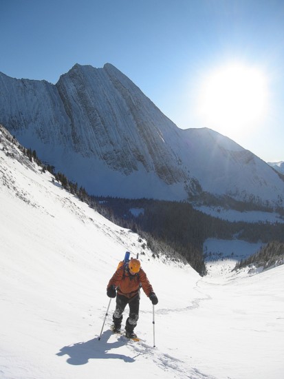
Mount Chester in the background
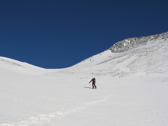
The grade eases higher up
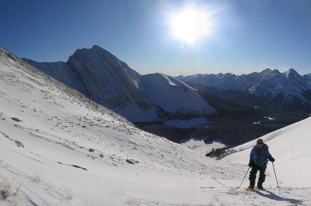
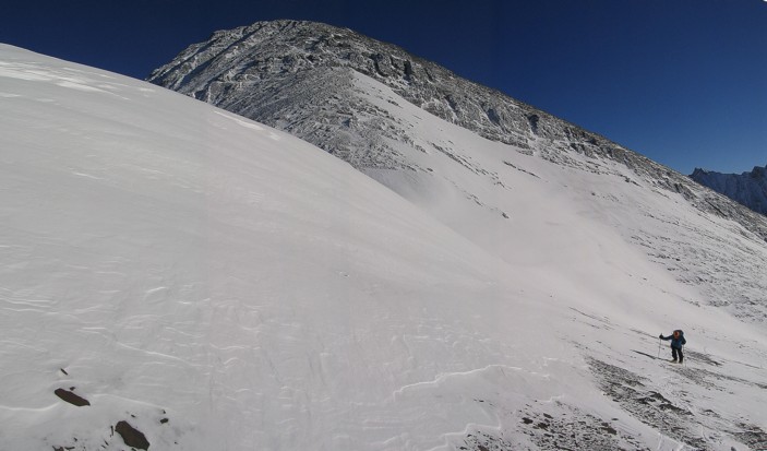
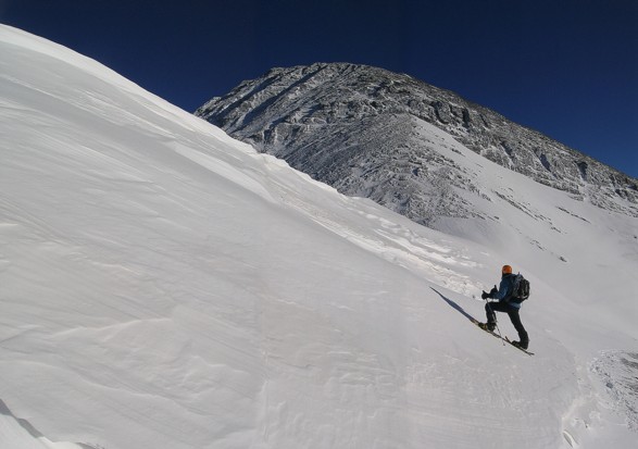
Steep terrain that deserves respect and caution
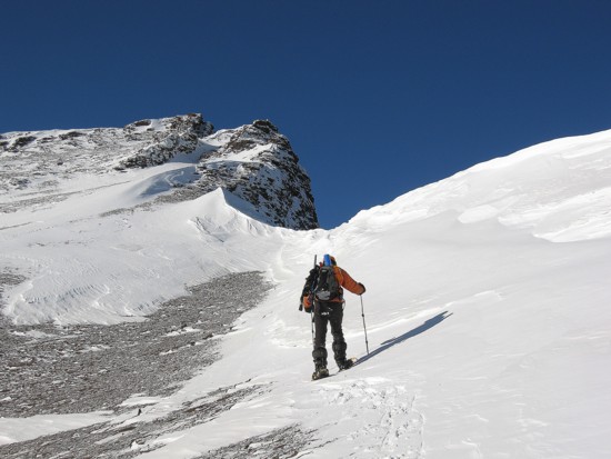
At the col between "Little" and "Big" and heading to the summit
The Marillion shots
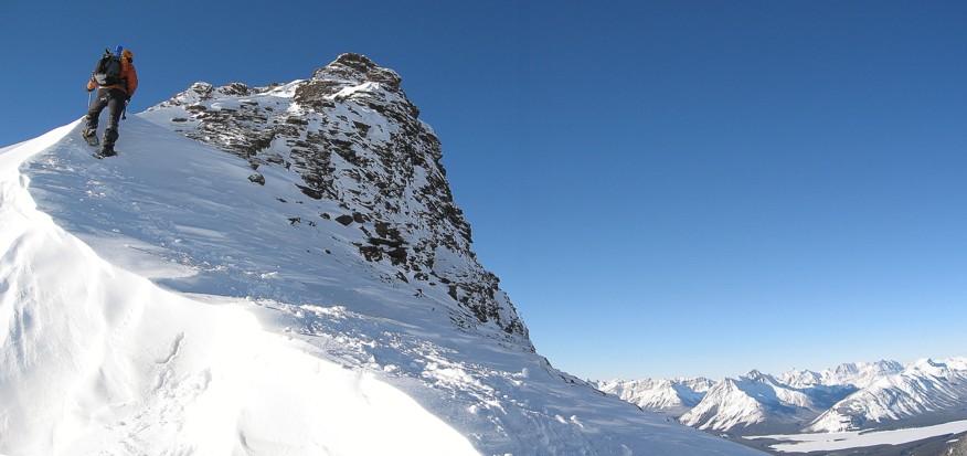
Back into more sensible attire for the push to the summit
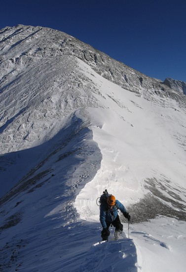
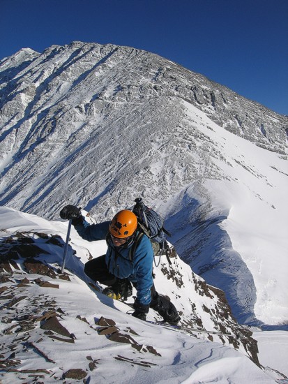
Mark takes the final few steps to the summit
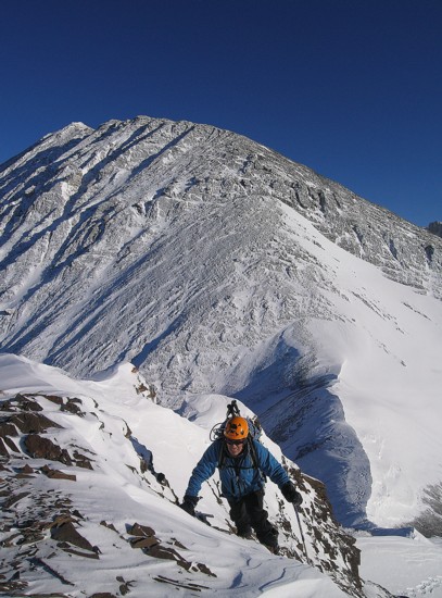
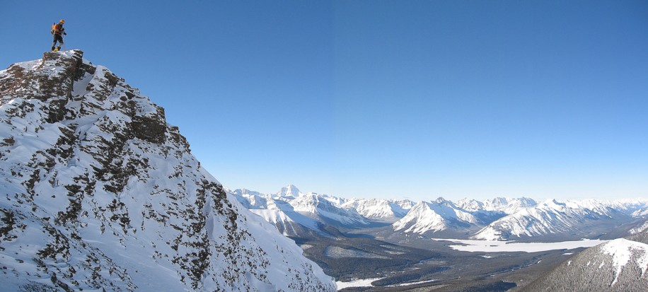
There's a wee bit of a drop on the north side of the summit
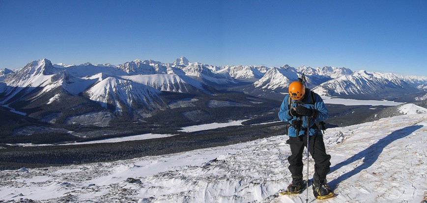
At the summit
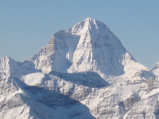
Views of Mount Assiniboine are always a hit
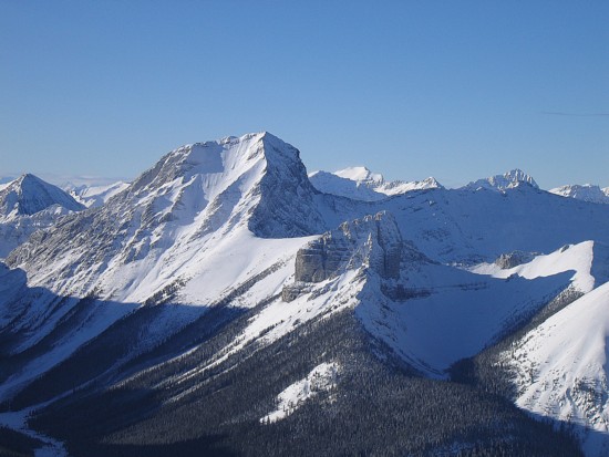
Same goes for Mount Smuts

Pretty sweet summit panorama for a minor outlier of a much bigger peak
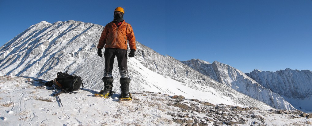
It was quite chilly up there
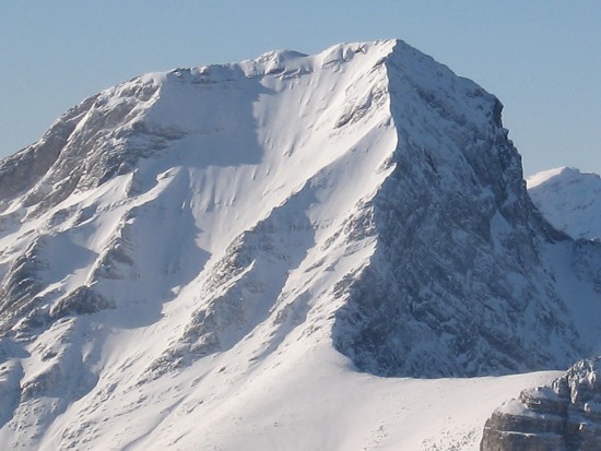
Close-up the Smut's south face
More Marillion shots (we didn't win the contest!)
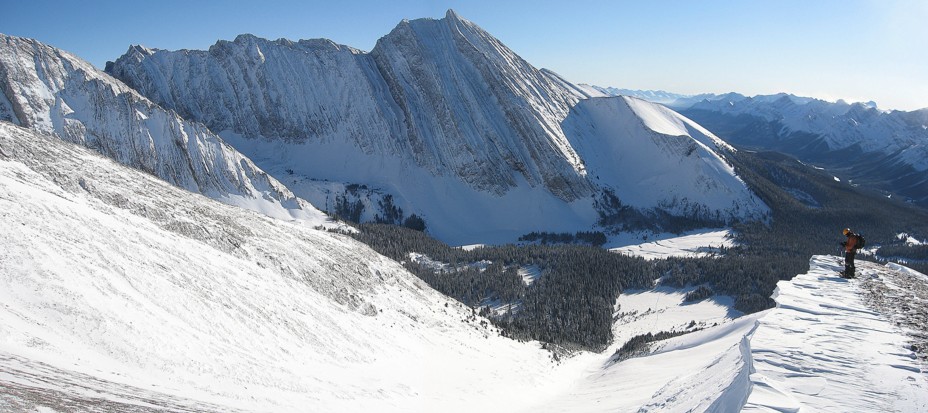
Starting down the south ridge
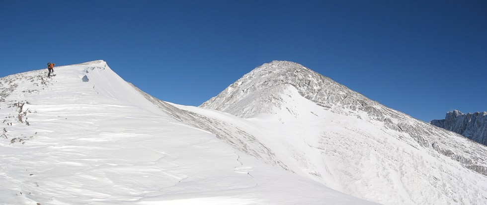
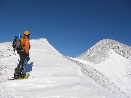
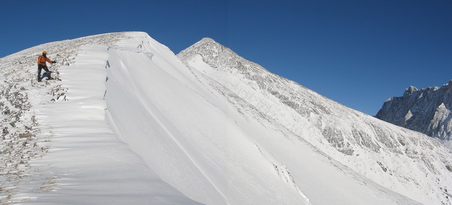
It's a beautiful ridge, but gets more serious farther down
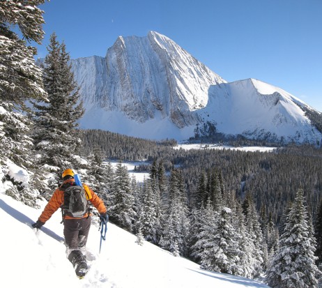
Lots of traversing to avoid those serious slopes
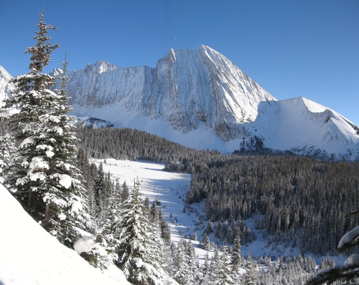
Great views of Mount Chester
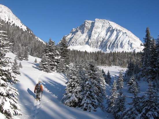
Gusty Peak

Strenuous trail-breaking to get back to our ascents tracks
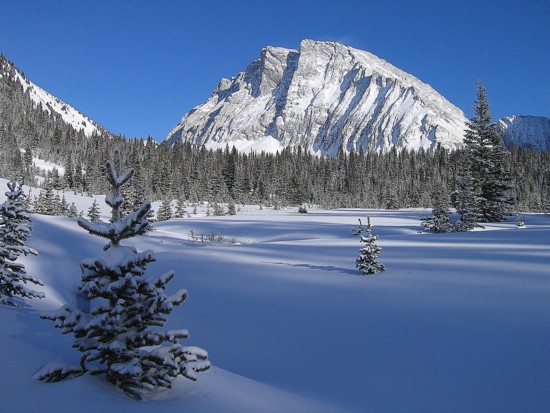
Gusty again
Looking back at the route
