Little
Richards
May 4, 2015
Mountain
height: 2360 m
Elevation gain: 1060 m
Ascent time: 4:05
Descent
time: 3:00
Solo hike, snowshoe,
and mountaineering.
The goal of
this trip was a simple ascent to Bertha Lake and perhaps a little exploration
around the lake. However, it turned into much more.
Getting to
the lake was fast and easy, the trail not holding a flake of snow at this time
of the year. A different story awaited at Bertha Lake. At an elevation around
1700 m, 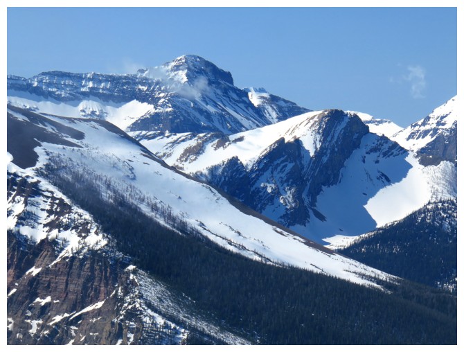 the lake remains mostly frozen well into spring. After snowshoeing to
the other side of the lake, a snow-filled gully caught my attention and I
decided to check it out.
the lake remains mostly frozen well into spring. After snowshoeing to
the other side of the lake, a snow-filled gully caught my attention and I
decided to check it out.
Surprisingly
the lower half of the gully was easily ascended wearing snowshoes. 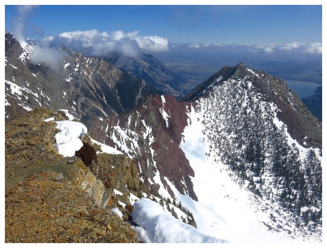 Higher up
the grade increased to an angle where crampons and an ice axe were essential. And
before I knew it, I was at the false summit of Mount Richards. As a significant
peak on the north ridge of Richards, I thought the unofficial name “Little
Richards”, in tribute to the famous singer/songwriter/entertainer
fit well.
Higher up
the grade increased to an angle where crampons and an ice axe were essential. And
before I knew it, I was at the false summit of Mount Richards. As a significant
peak on the north ridge of Richards, I thought the unofficial name “Little
Richards”, in tribute to the famous singer/songwriter/entertainer
fit well.
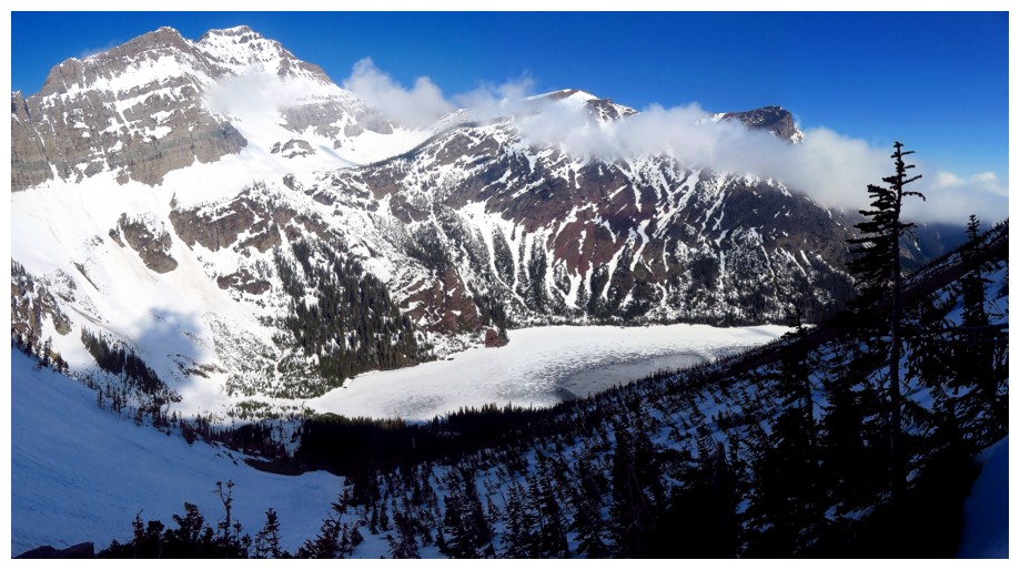
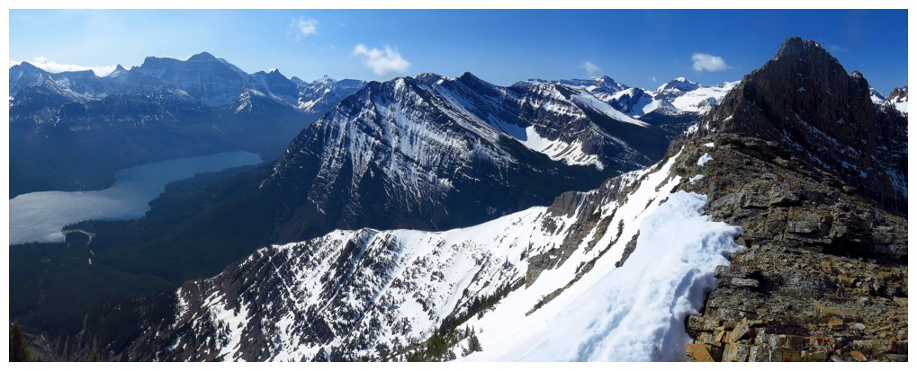
Mark and I
had visited this summit en route to the top of Mount Richards in 2006,
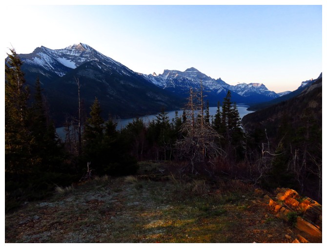
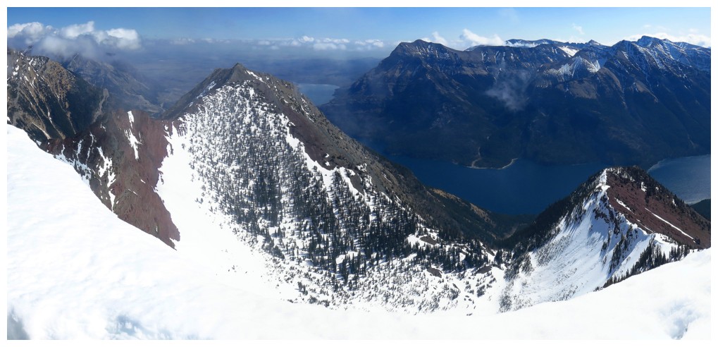
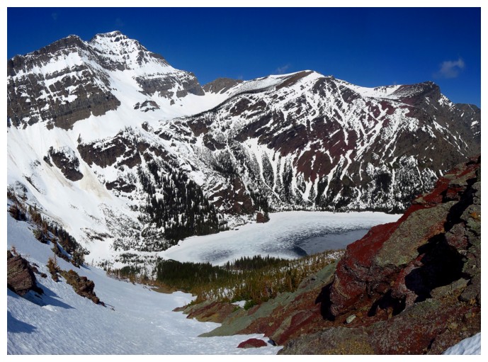
but I forgot how amazing the view was: Upper Waterton Lake on one side, Bertha
Lake on the other, and nothing but beautiful peaks in every direction. Except
for a few atmospheric clouds to the east, the skies were clear. I took a long
summit break before retracing my steps back down to the lake. Alternate descent
routes appeared to be fraught with danger.
An unexpected
ascent of a wonderful peak that makes a great stand-alone trip or a consolation
if the summit of Mount Richards is not attainable.
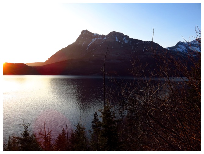
5:30 am view of Vimy Peak
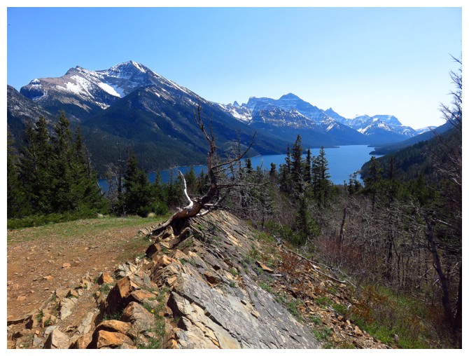
5:45 at the Upper Waterton Lake viewpoint
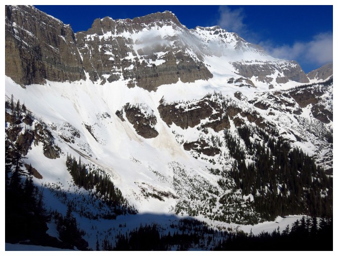
The north end of Mount Richards
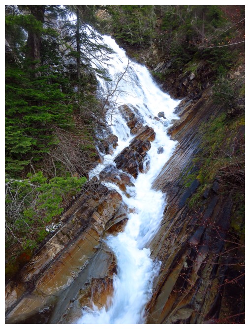
Lower Bertha Falls
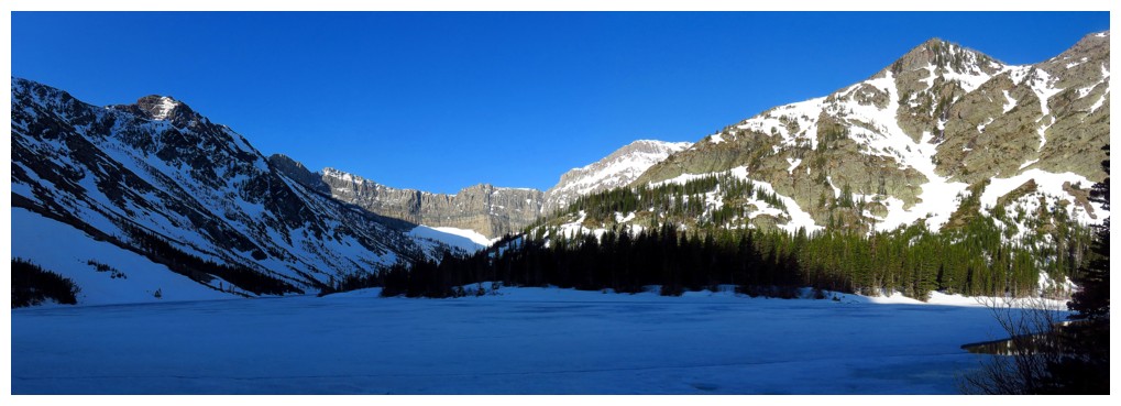
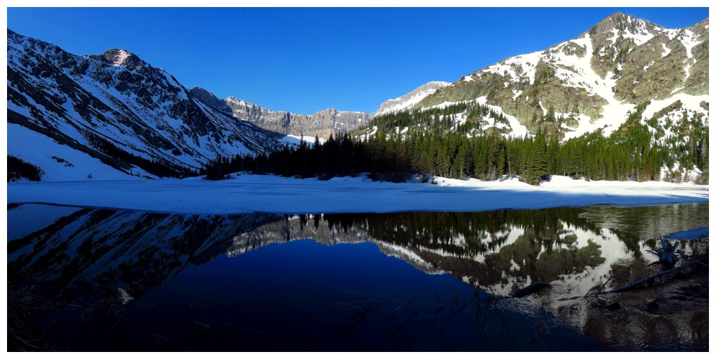
Bertha Lake
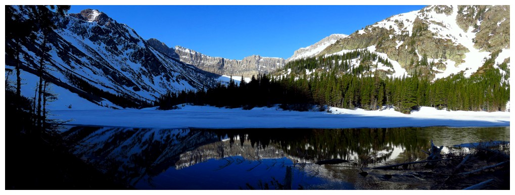
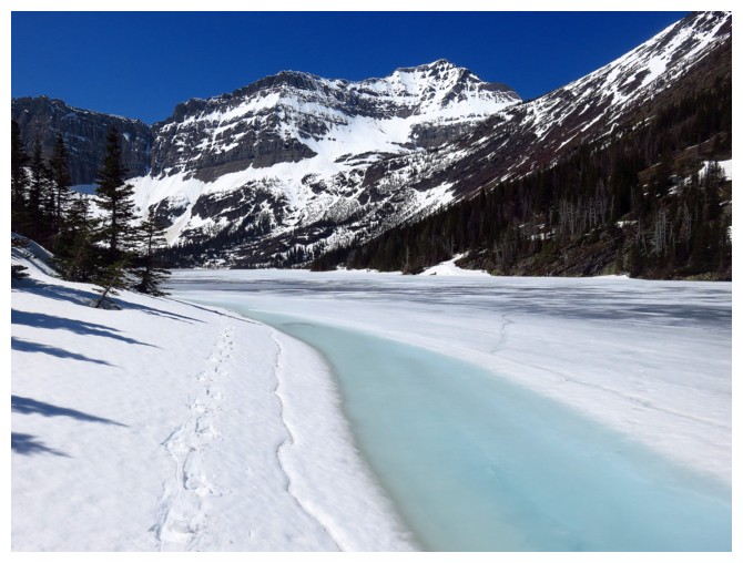
A open section of water near the lake outlet provides perfect reflections
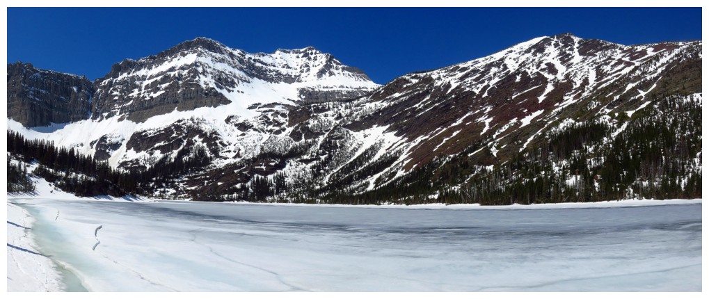
Bertha Peak and the Kane route up, just left of centre
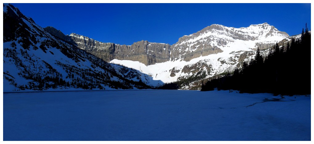
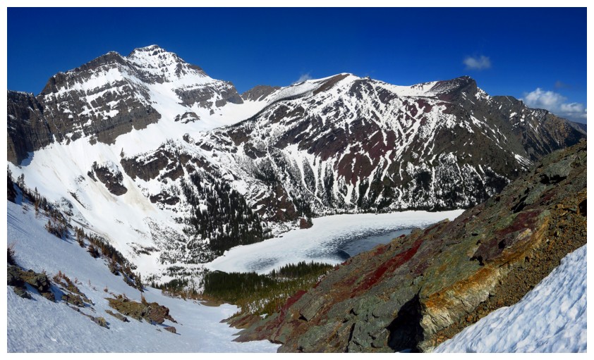
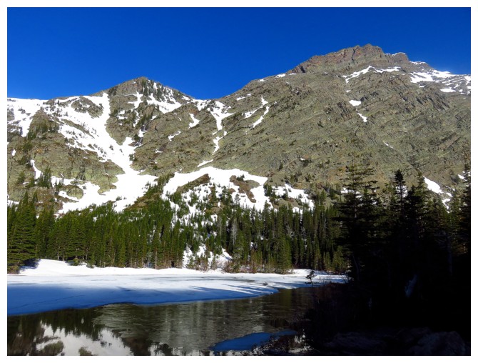
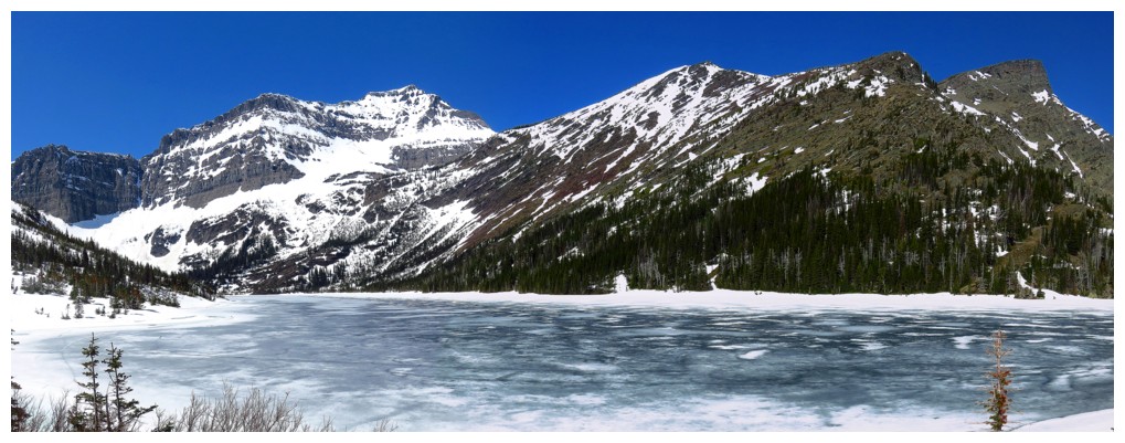
A little farther up the lake. Mount Alderson at the right.
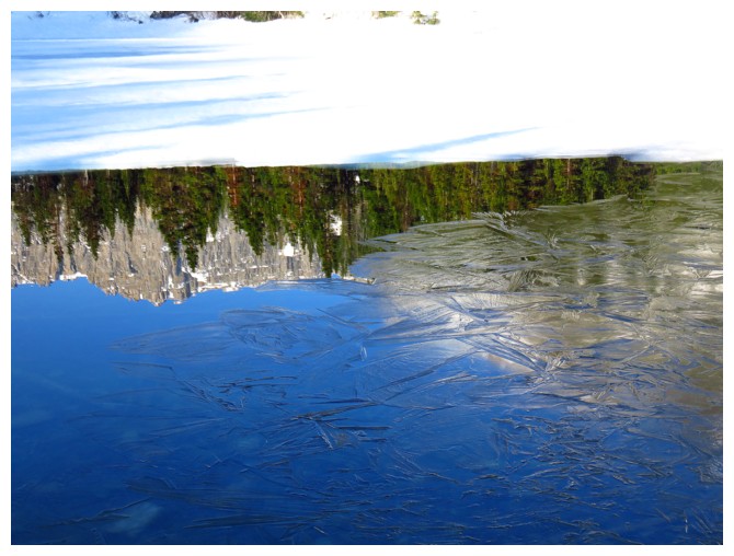
Thin layer of ice
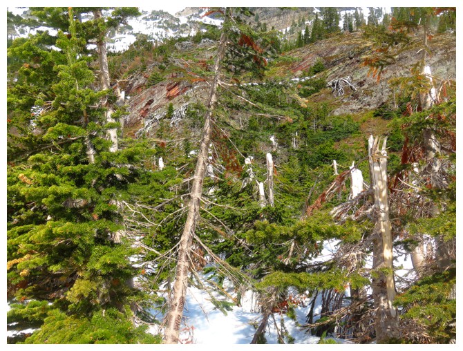
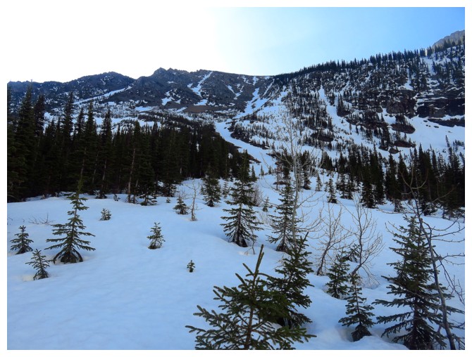
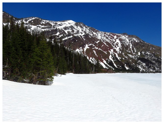
The broken trees attest to the avalanche prone nature of the terrain above the lake
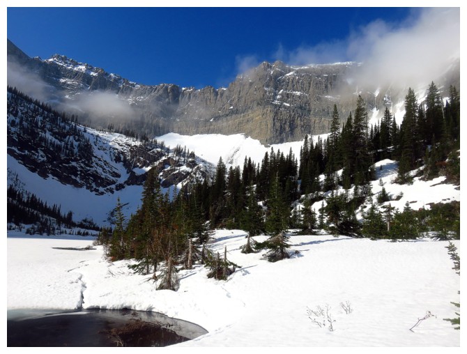
Nearing the southwest end of the lake
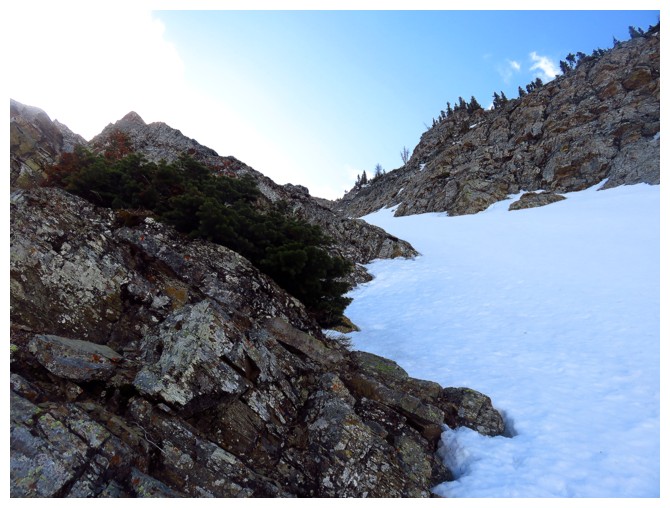
The gully that caught my eye is right in the centre
Typical terrain lower down. Perfect for snowshoes.
Alderson's east face is fierce and VERY avalanche prone
Improving views as elevation is gained
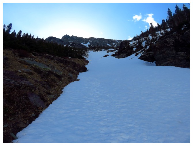
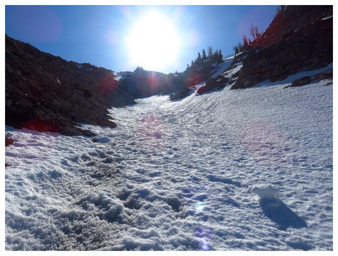
Still on snowshoeing terrain, but soon the crampons and ice axe will come out
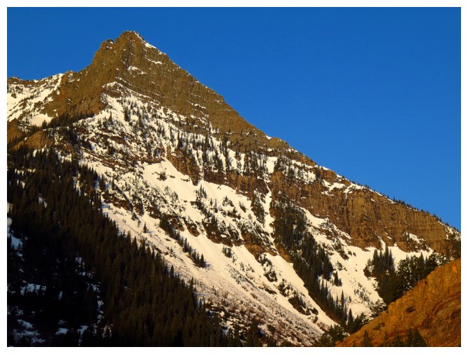
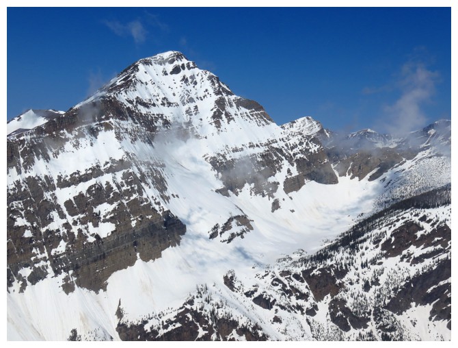
Above the steep sections and onto more
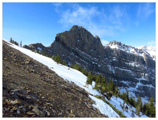
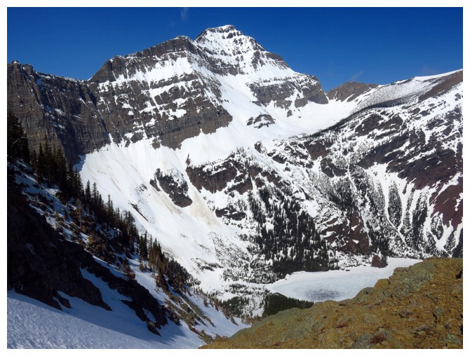
gentle and snow-free slopes. Mount Richards looks like a beast from
this angle, but there's a moderate scramble route around the corner.
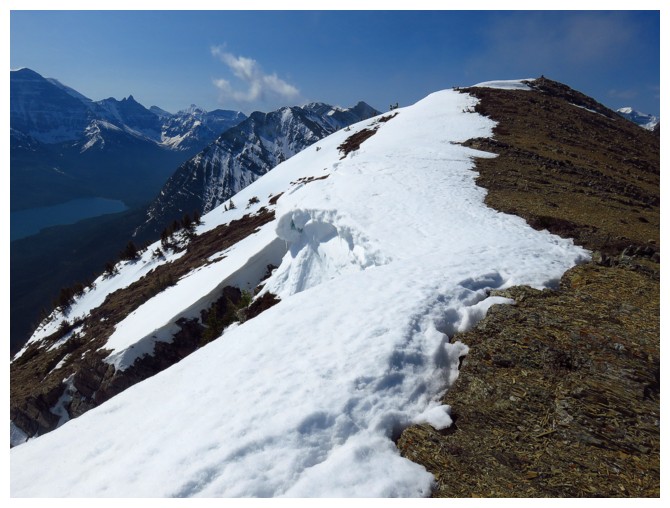
On the summit ridge
Same as above, looking in the other direction
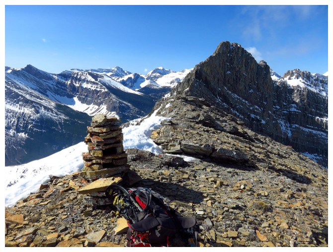
The size of the cairn attests to the
relative popularity of Little Richards (unless someone had lots of time
on their hands, big biceps, and a strong back!)
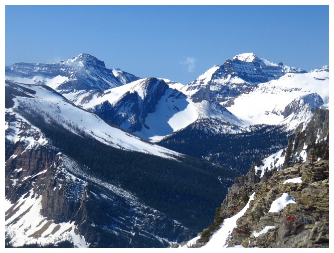
Peaks to the southwest
Long Knife Peak in GNP
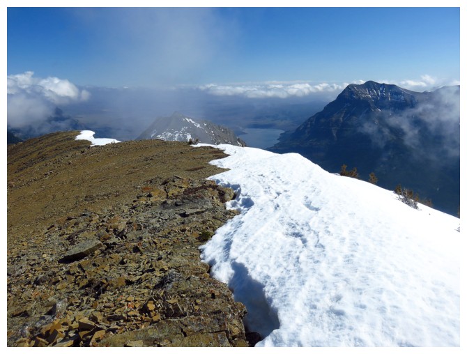
View to the east
Descending the east ridge for a bit
Alderson again
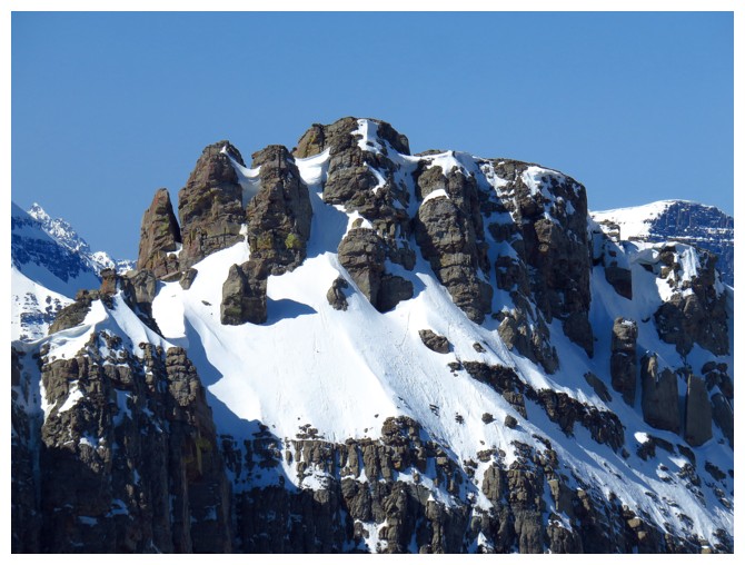
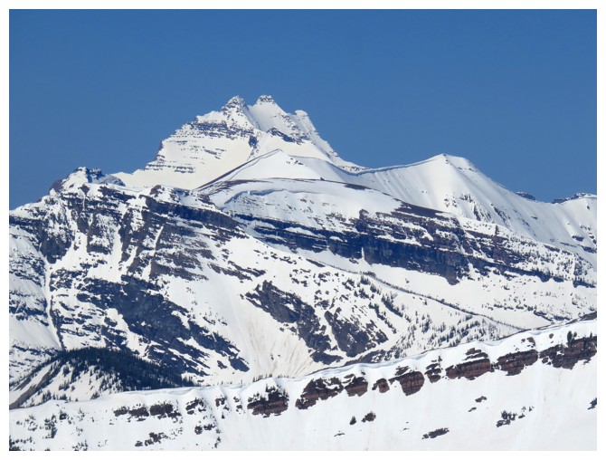
Not sure what mountain this is part of but it looks very cool
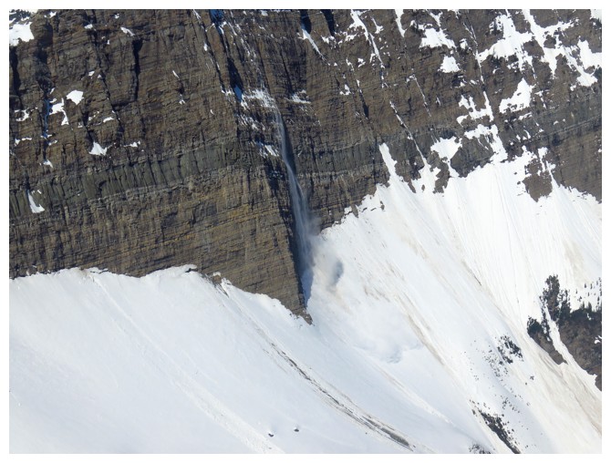
Bit of an avalanche coming off the east face
Descending
Again, the snow was perfect for snowshoes or crampons/ice axe
The colours on the side of the ascent gully are on full display now that the Sun is shining upon them
Same as above
Back at the lake, checking out the colourful south side of Bertha Peak
Followed the south shore of the lake back to the northeast end
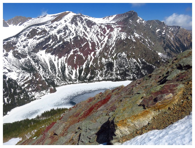
Alderson, Bertha Peak, and Bertha Lake
The view from the viewpoint is also considerably better later in the day
The End
LOG