Mackay Hill(s)
June 17, 2023
Mountain height: 2380 m
Elevation gain: approximately
1300 m
Round-trip time: 5:45
Scrambling with
Raff.
Why the
singular of what should be Mackay Hills? Very simply, Raff and I chose to
ascend the highest of the three hills but to forgo the other two.
We were both
looking for a relatively short trip, a breakdown in the weather predicted for
the afternoon. There are several different loop routes up and down the Mackay Hills,
but all involve extended sections of bushwhacking, and all required 9-12 hours
of time. An excellent solution to negate both of these concerns is well
described on Autumn Sky’s excellent website
– use the Wedge Mountain ascent route, go over to the highest of the three hills, then
just return the same way, skipping the two smaller hills.
This route
worked perfectly – zero bushwhacking, excellent views above treeline, some cool
rock scenery to keep things interesting, stunning green meadowy vistas
everywhere, and short! Though far from perfect, the weather held throughout.
A surprisingly wonderful
trip!
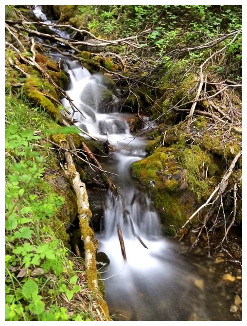
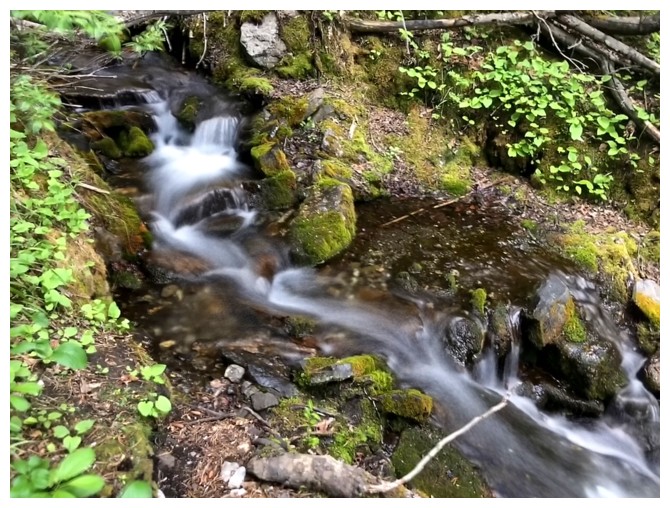
To add to my red argillite and cornice addictions, I now have long exposure photos!
First glimpse of The Wedge (far left) and The Ridge West of The Wedge
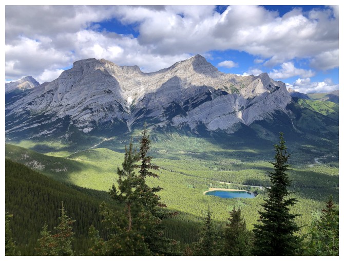
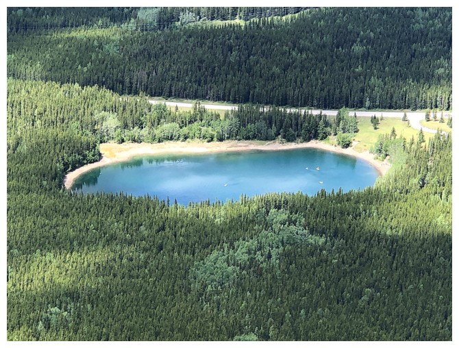
The Kidds and Wedge Pond
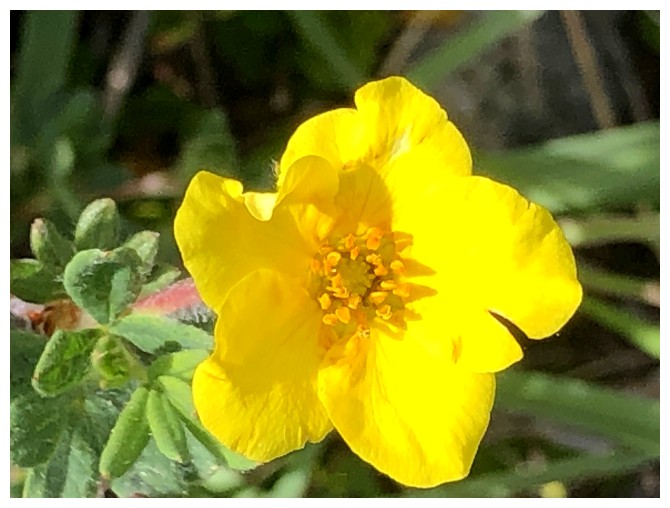
Flower close-ups could be considered a newly added fourth addiction
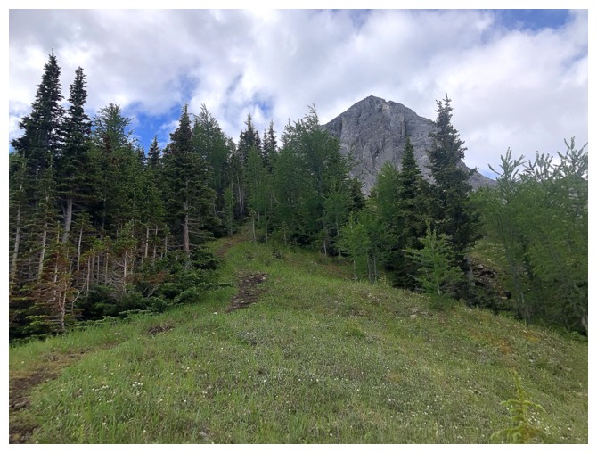
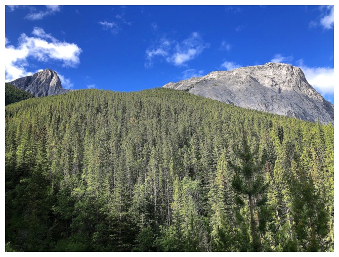
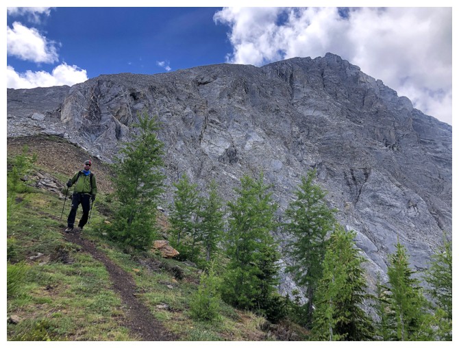
Still on a great trail that goes all the way to the base of The Wedge
Left to right: Old Baldy Mountain, Mount McDougall, and Shoulder Peak
The Wedge and a camouflaged guest
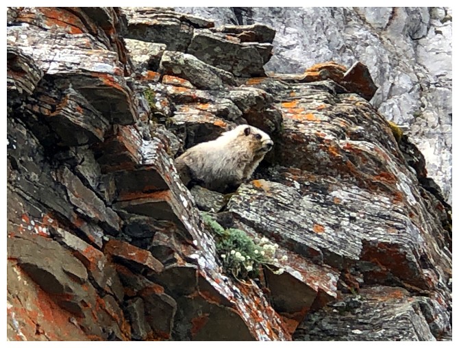
There he/she is
The marmot watched us throughout
Very attentive - a perfect student!
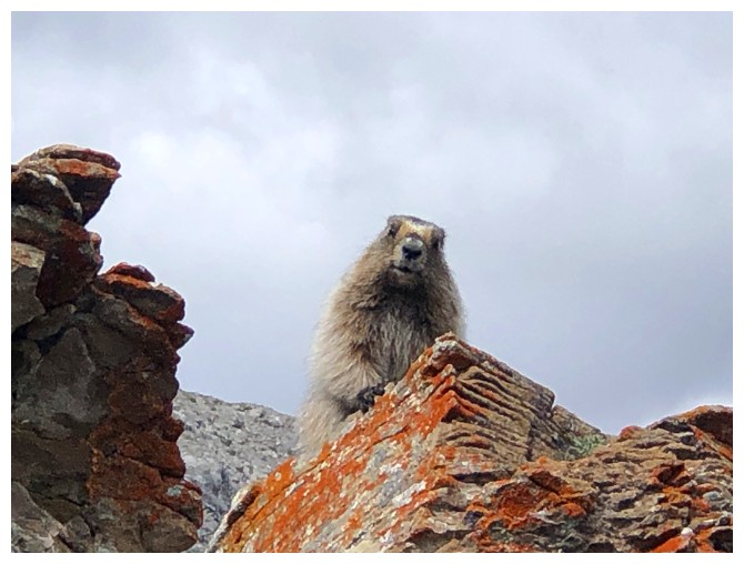
Close-up of our friend
Raff is communicating with the marmot
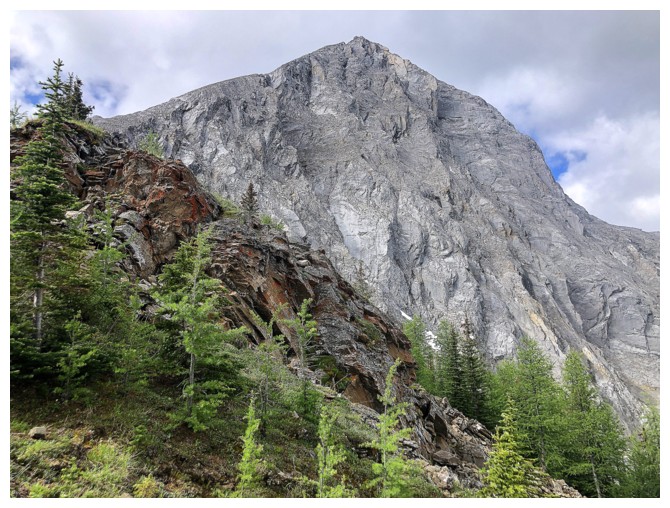
At the base of The Wedge
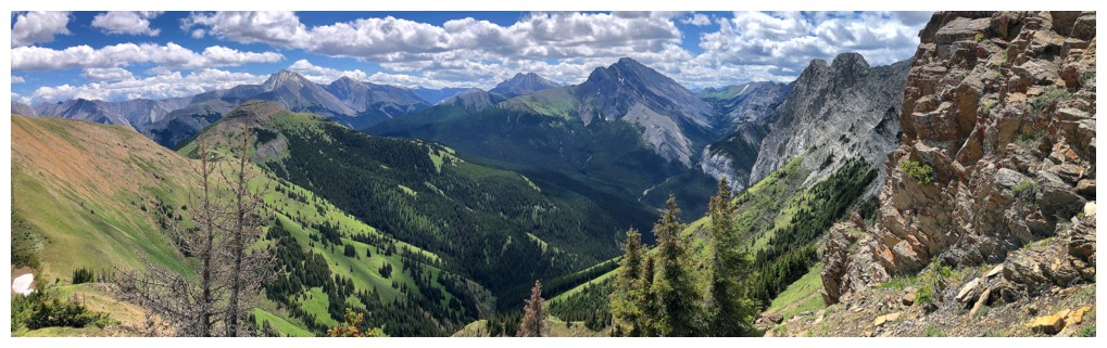
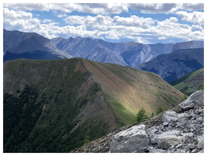
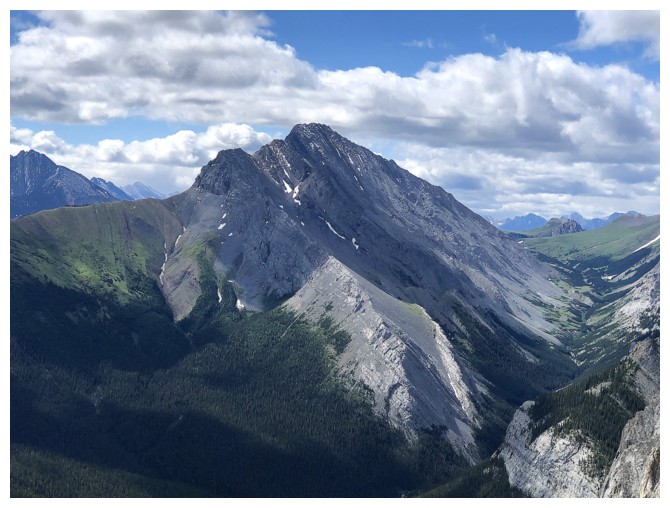
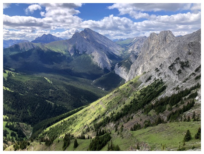
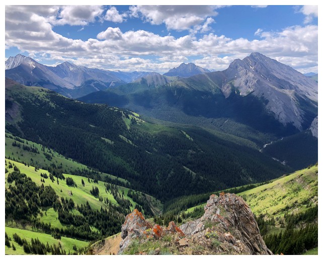
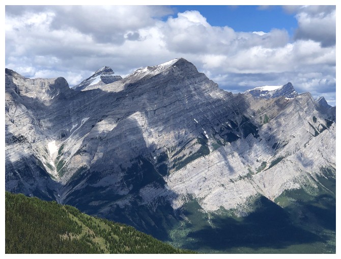
First view of Fisher Peak (centre) and the middle Mackay Hill below Fisher
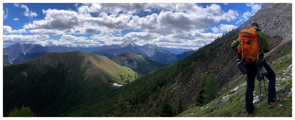
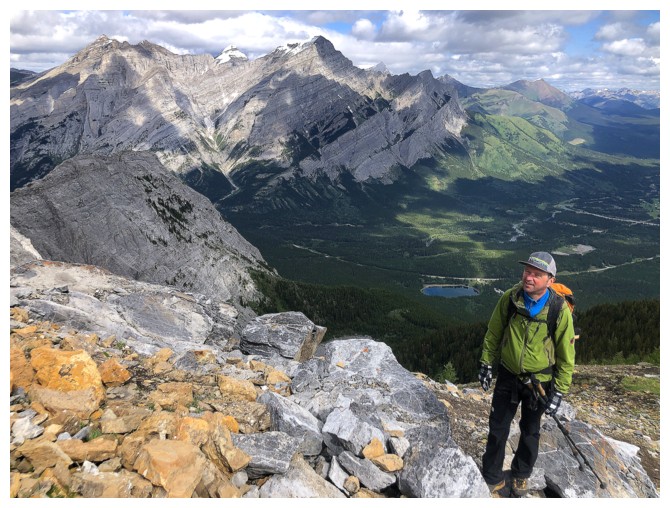
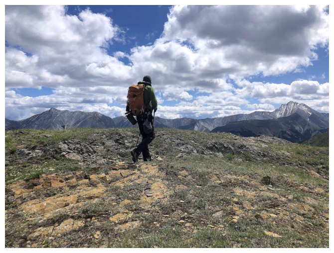
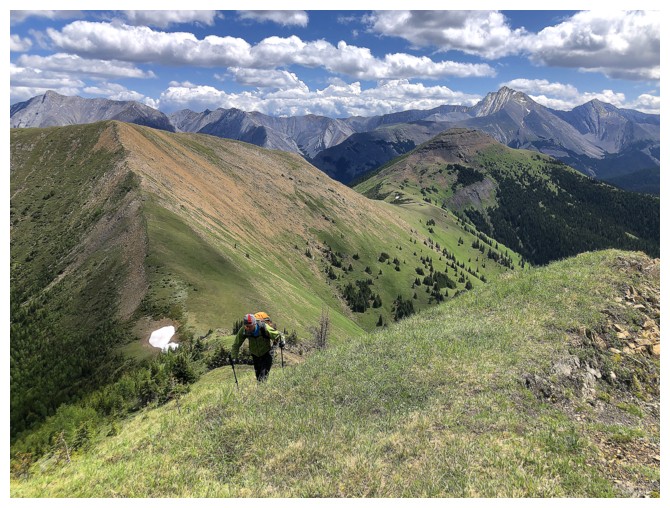
Raff sizes up the traverse. The highest Hill near the left.
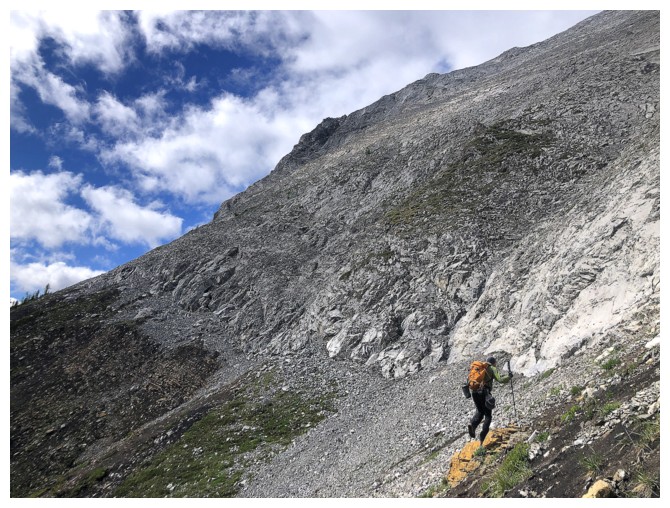
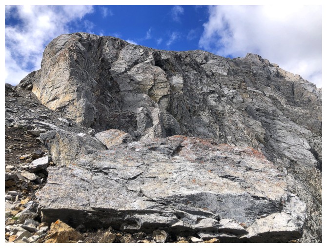
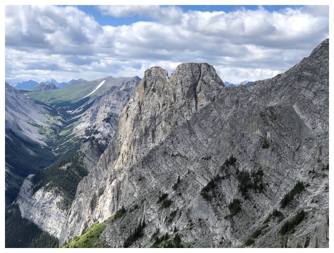
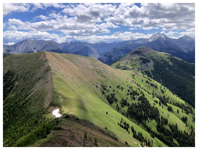
The traverse is straightforward and for much of it there's a decent trail in the scree
Still traversing
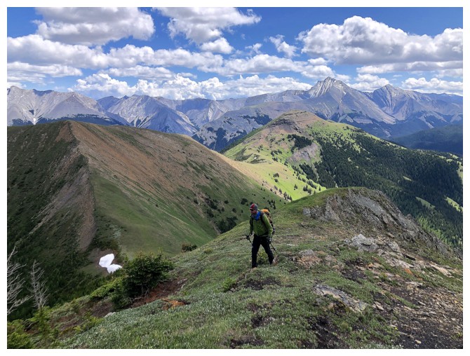
My turn to lead
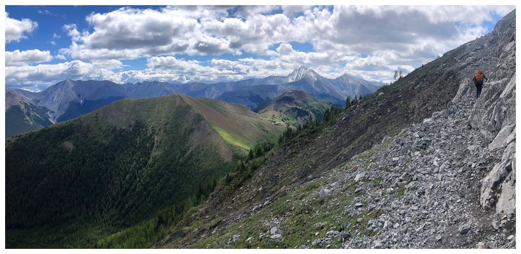
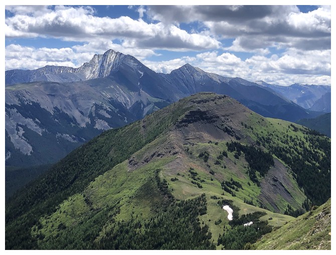
The objective
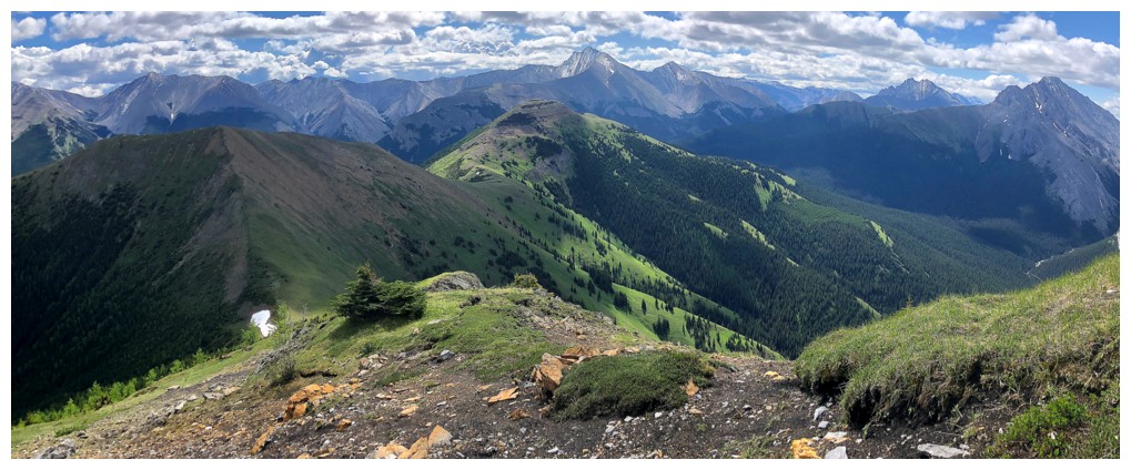
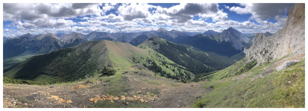
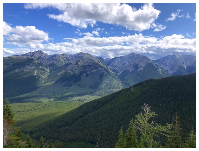
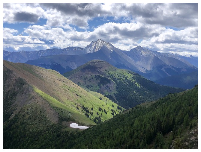
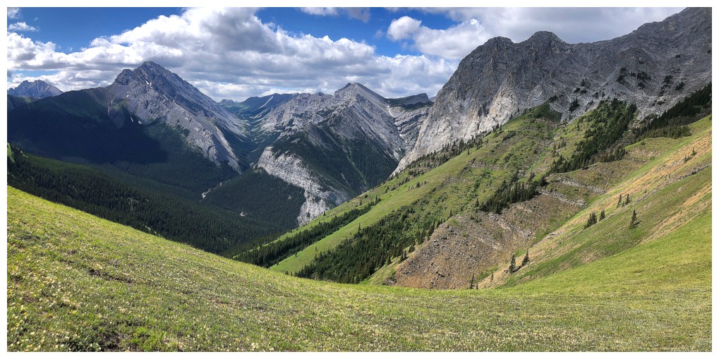
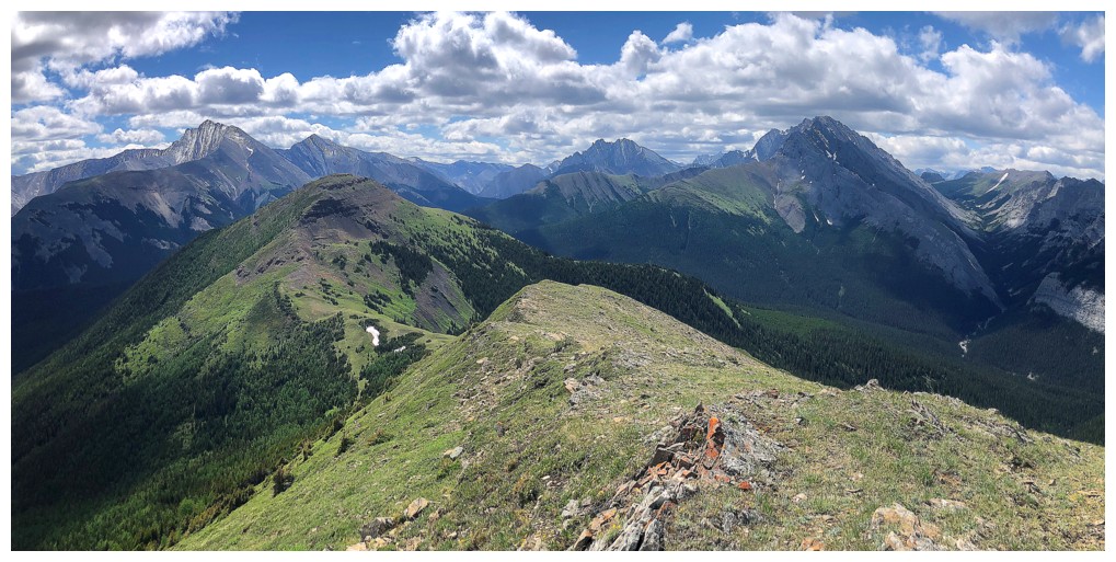
The view to the east, southeast, and south gets crazy cool upon completing the traverse
Looking up The Wedge. There were several parties ascending that peak during the day.
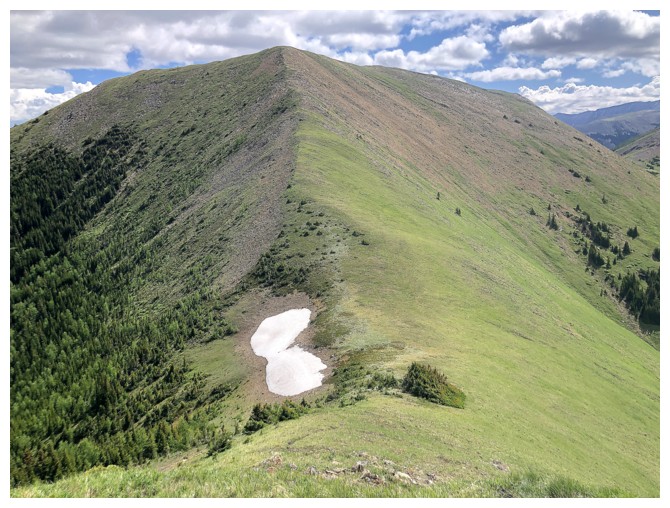
The greenery is going to be a source of "oohs" and "aahs" throughout
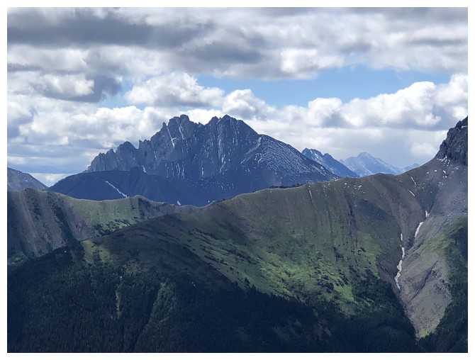
Rocky Peak sits at the north end of the amazing Opal Range. Kevin Barton and L. Kimber are the only individuals I know that have made it to the summit.
The south ridge of The Wedge looks super interesting
Pretty sure that's Ripsaw

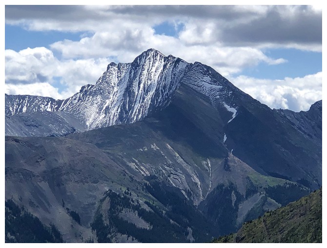
Fisher and a western outlier
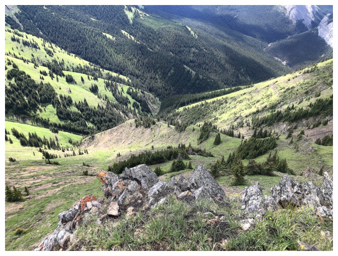
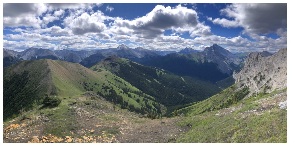
Beautiful valley south of Mackay
Ripsaw, Rocky, and the south ridge of The Wedge
The objective is now bathing in sunshine and that's good!
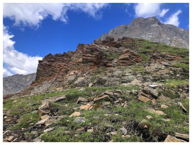
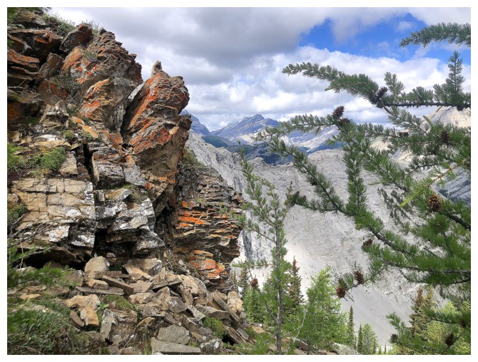
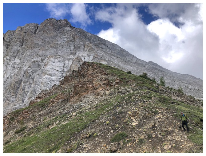
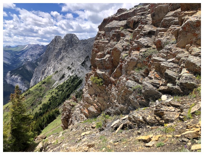
There are several sections of colourful rock between The Wedge and Mackay
Raff descends the easy terrain
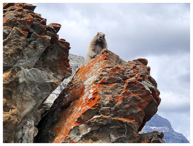
Had to get a shot with some lichen!
Almost down to the col
The north end of Opal Ridge joins the show
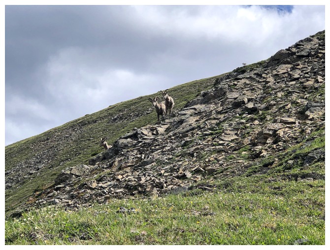
Sheep
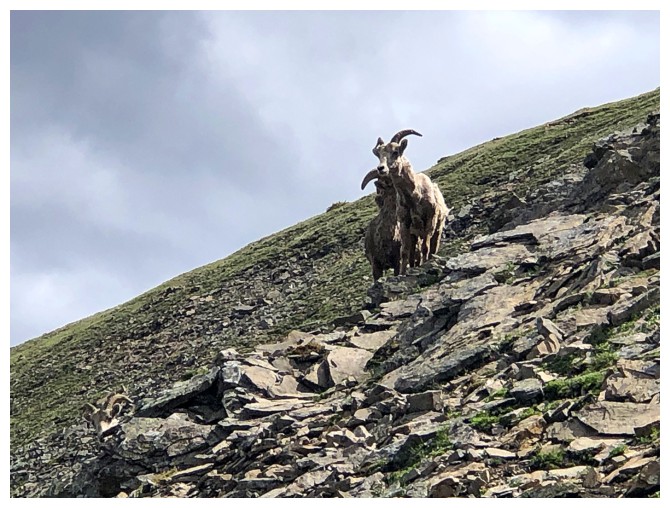
They were aware of us but not particularly scared
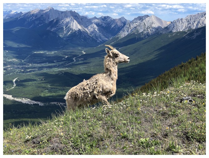
This guy came out of nowhere, surprising both Raff and me.
He wasn't concerned about our presence
...and simply sauntered on by, without a care in the world!
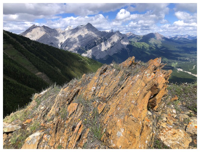
Another round of colourful rock
Raff takes the final few steps to the summit
A fine summit view for such a small peak
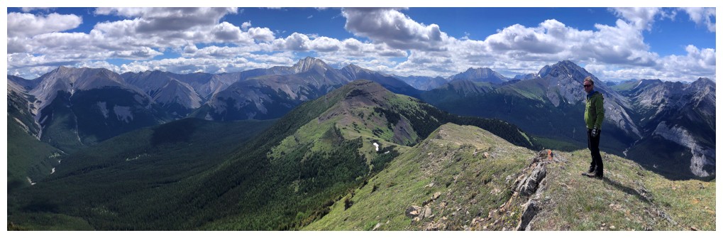
Raff agrees
Mount Bogart peeks over Mount Kidd
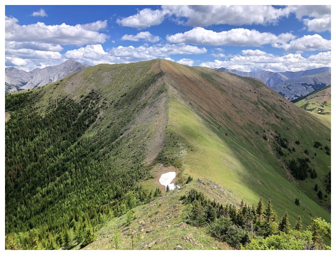
The middle peak of Mackay looks so inviting, but not today
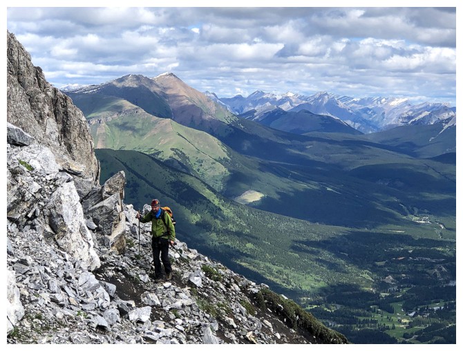
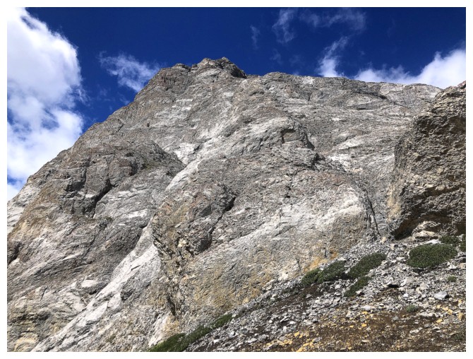
Fisher Peak has a notorious reputation for several stiff downclimbs
The objective again, on return. Needed an excuse to catch my breath!
Another excuse
Raff slogging his way back up
Made it
Back on The Wedge trail
Several boaters on Wedge Pond
Might as well end the way we started!
The End
LOG