
June 13, 2009
Mountain height: 2638
m
Elevation gain: 1100 m
Ascent time to: 4:30
Descent time: 2:50
Solo scramble.
The naming of
I did the approach on a bike, using some of Robert
Kershaw’s
description, from Exploring the Castle
and some common sense (ie. brutally obvious logging roads!) The scenery
en
route was very interesting, courtesy of a major fire that swept
through
the area in 2003 – interesting to see the damage done by the fire,
but even more so to
see new life emerge after the fire.
The ascent route was pretty obvious and hard snow in the drainage made travel up the gully easy. Only the deteriorating weather detracted from the experience – that and the soul-sucking slog up horrible talus and scree to the summit. After taking in a pretty decent summit view, I descended to try to find if there was a route up the southeast side of Pengelly. The north ridge of Pengelly, well-documented by Rick Collier on Bivouac, was not at all appealing as a solo scramble. I didn’t find one, however there was plenty of more cool scenery to take in.
Not a particularly great scramble, but the area is definitely worth visiting at least once.
Approaching the area
An unnamed peak in the range
The brutally obvious logging roads
The northeast side of McGladrey; the ascent route is on the southeast side
Pengelly (left) and McGladrey
Results of the fire
Same as above
Same as above
The east side of Pengelly
Looking back down the ascent route
Pengelly
Pengelly from near the Pengelly/McGladrey col
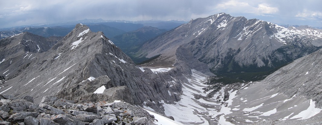
Darrah, unnamed, Pengelly from the summit of McGladrey
Mount Darrah (left)
Unnamed peaks to the west

The summit view to the west and northwest; Mount Ptolemy at the right
Snow scenery around the southeast side of Pengelly
Same as above
Same as above
An alternate route up
More remnants of the fire