"Nosecone Peak"
("Nigel Pass Peak")
August 24, 2021
Mountain height: 3000 m
Total elevation gain: approximately 1500 m
Round-trip time: 9:30
Solo scramble.
Inspired by Matt and Sandra’s 2018 ascent of
“Nigel Pass Peak”, I
set out, on what was forecast to be a perfect weather day, to do the same.
Although the first part of the trip wasn’t
terribly inspiring (unusual for any trip in the Columbia Icefields area), the
situation improved dramatically as I got closer to Nigel Pass. Generally
following Matt’s route, the first order of business was to find a way up to the
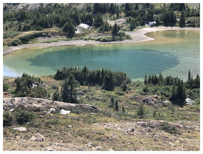
small tarn at the base of the objective. Following the outlet stream worked well
and soon I was at the shallow but scenic tarn. Unfortunately, the perfect
weather decided to not be so perfect at this point and clouds started to build.
While completely overcast never materialized, I was still a little bummed out.
From the tarn, the ascent of Nosecone was
straightforward, and generally easy, but oh-so foreshortened! There is about
800 m of elevation gain involved. A fresh layer of supportive snow was most
welcome here, providing much better footing than the treadmill scree
underneath. Although slightly marred by the cloudy skies, the summit view was
nevertheless enthralling, and my summit stay was long. The significant amount
of snow rendered the view more like a winter one than late summer.
That snow, again was a godsend on descent,
permitting fast travel and even some glissading. After re-visiting the tarn, I
decided that I couldn’t leave the area without going to Nigel Pass. The views
and scenery en route to the pass were excellent, surpassing in some ways the
summit view. Given that I was enjoying this part of the trip so much, I
couldn’t resist a quick look up the Brazeau River - what a beautiful, glacially
fed waterway in stunning surroundings.
As much as I would have liked to explore
farther up the river, time wasn’t about to stand still and so it was time to
return. This is definitely an area I would like to see more of in the future.
Besides the slightly disappointing weather,
an excellent trip in a stunning area of the Rockies.
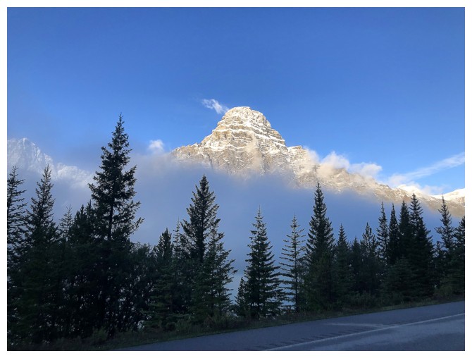
Always nice to see Mount Chephren on the drive in
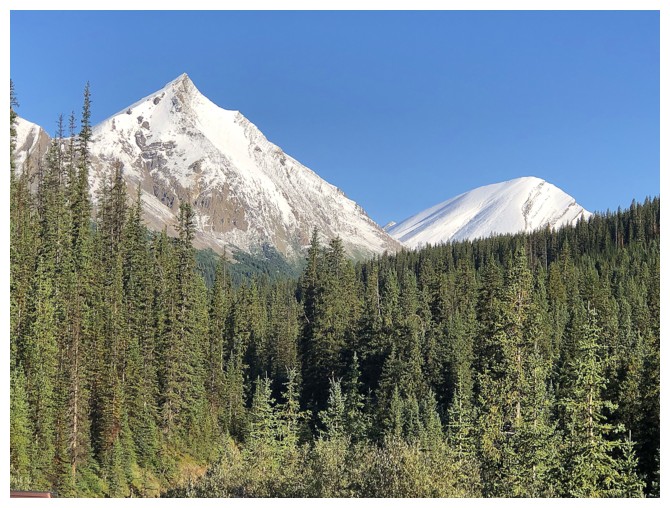
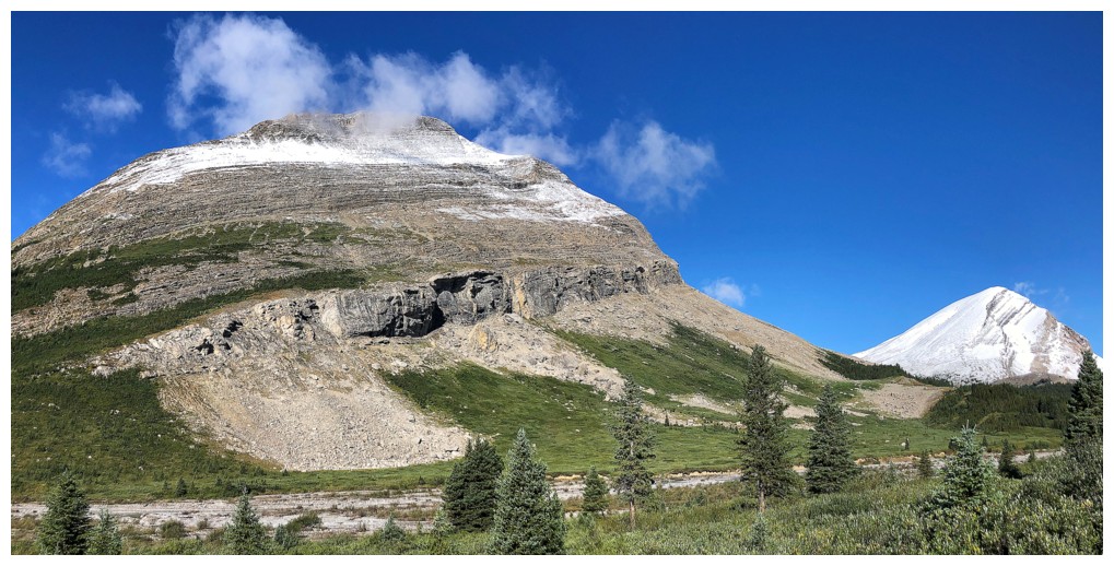
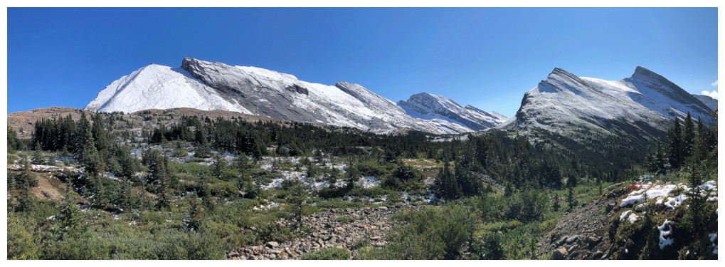
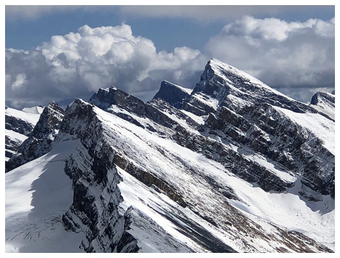
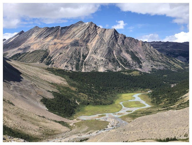
One of the many outliers of Nigel Peak at the left and Nosecone Peak at the right
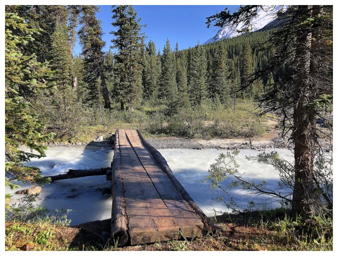
One of two bridges that make access to the backcountry around Nigel Pass very easy
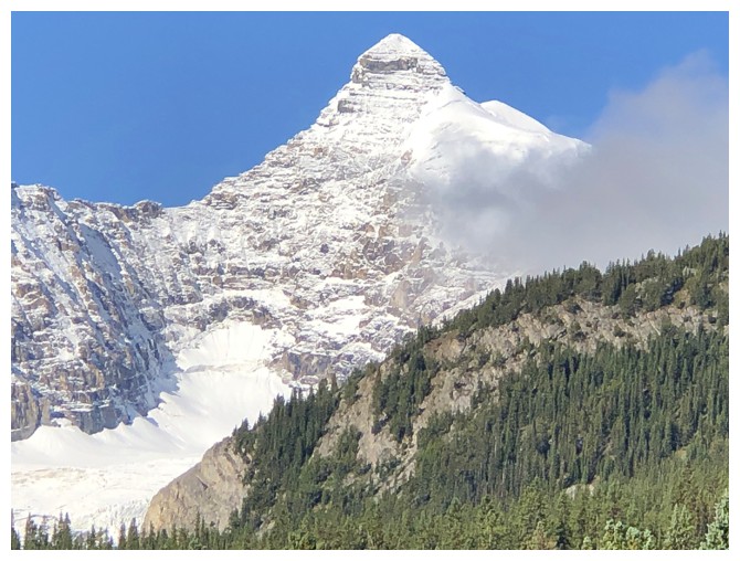
The southeast side of lofty Mount Athabasca
Lots of unnamed peaks on the east side of the valley. We did attempt one of them years ago.
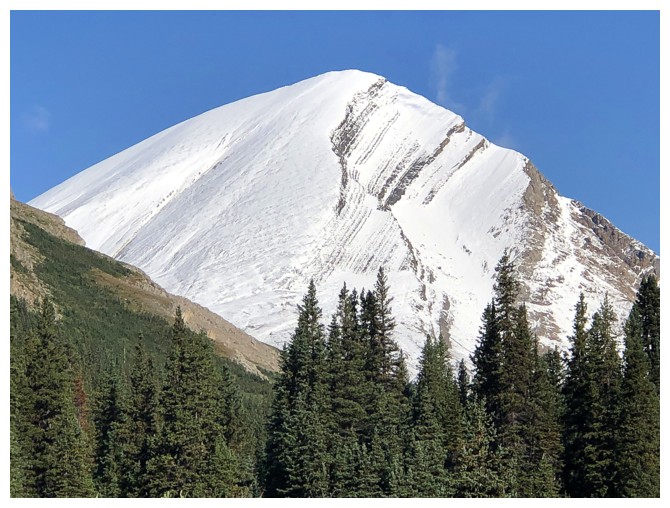
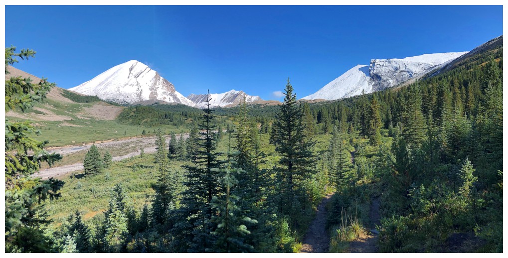
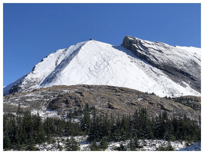
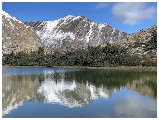
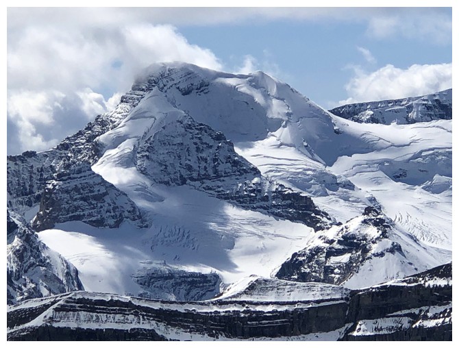
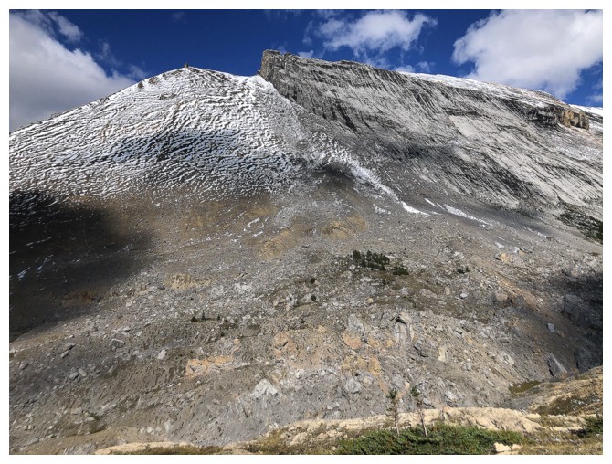
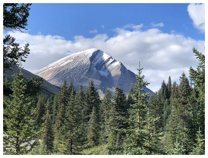
Close-up of a very snowy Nosecone Peak
The trail parallels Nigel Creek, but there are minimal opportunities to see the creek up close
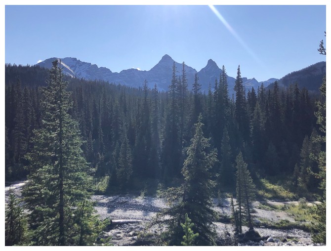
Most of time it looks like this!
Getting out into the open
Passing by the Nigel outlier
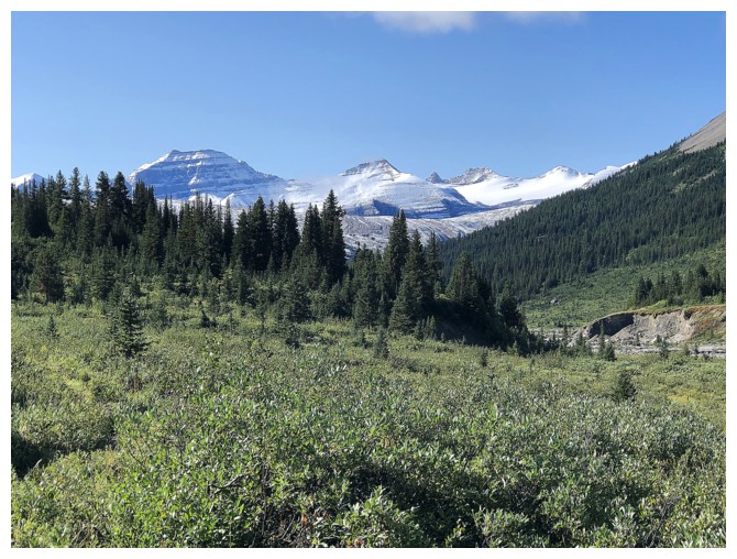
Looking back to mighty Mount Saskatchewan (left), with The North Towers and Saskatchewan and Mount Saskatchewan Junior near the right
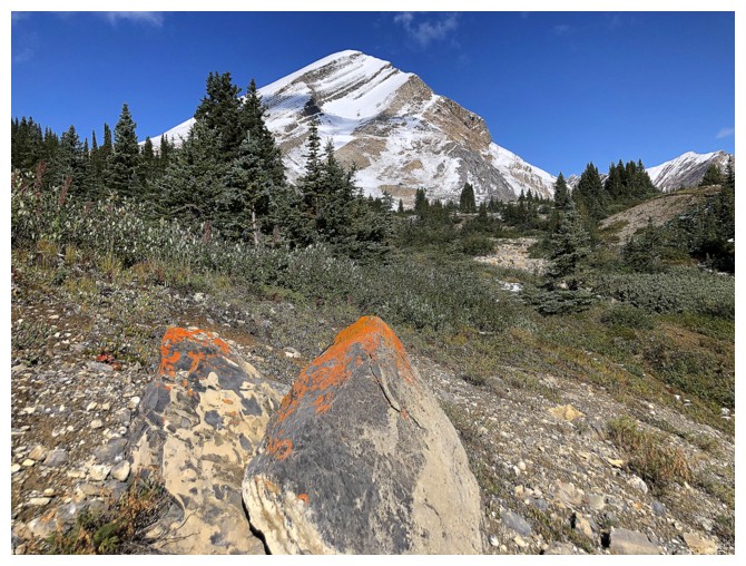
Thankfully I did get my fill of lichen-covered rock
More unnamed peaks
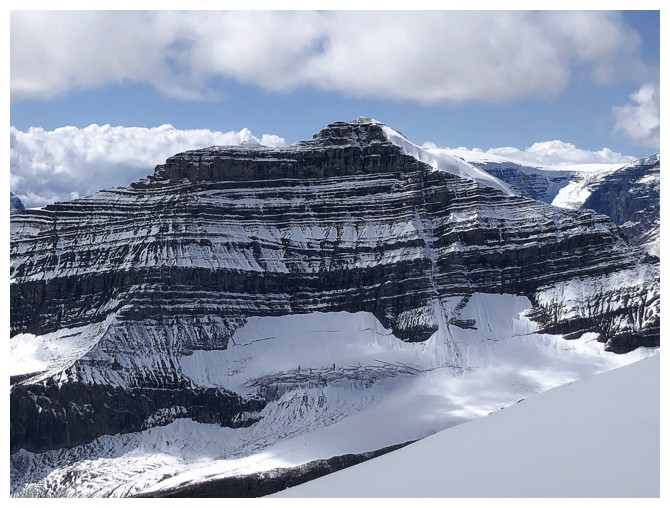
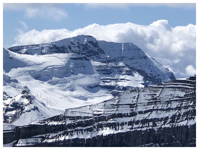
This one looks particularly cool
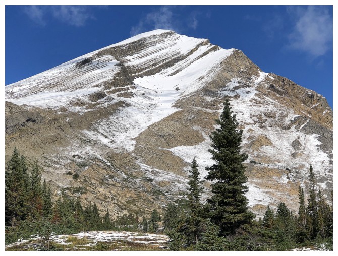
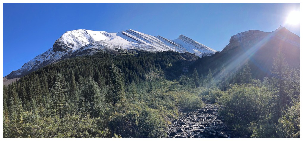
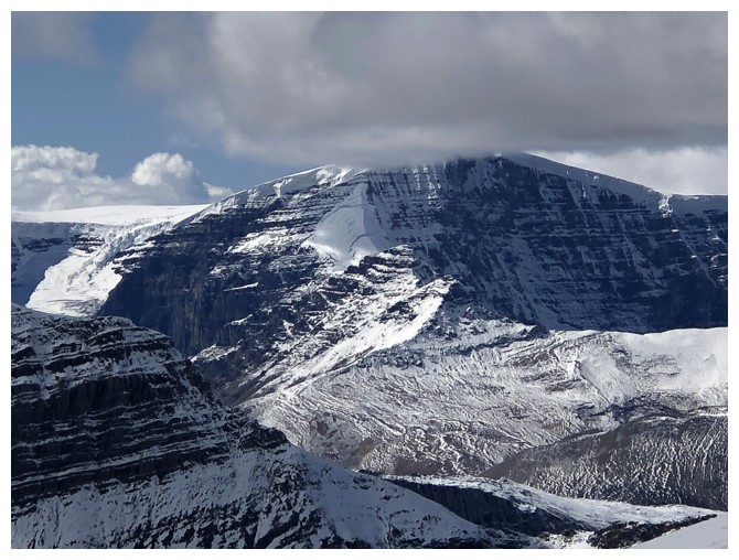
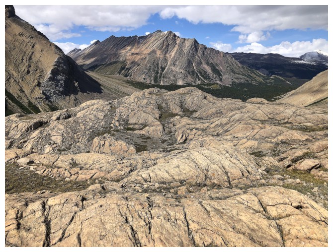
Getting closer to Nosecone
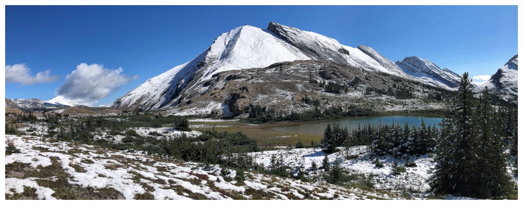
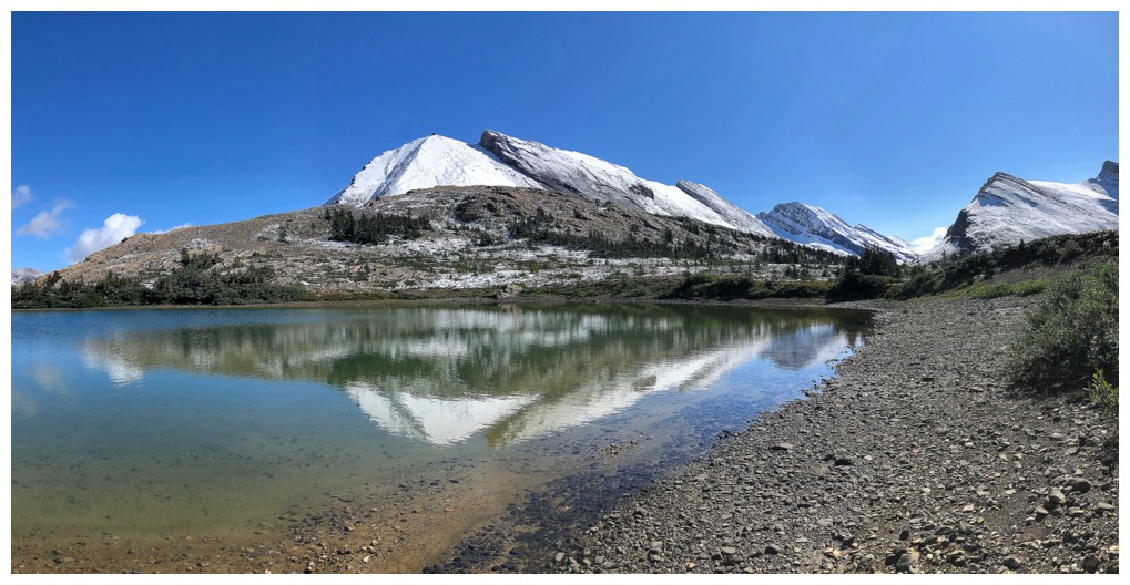
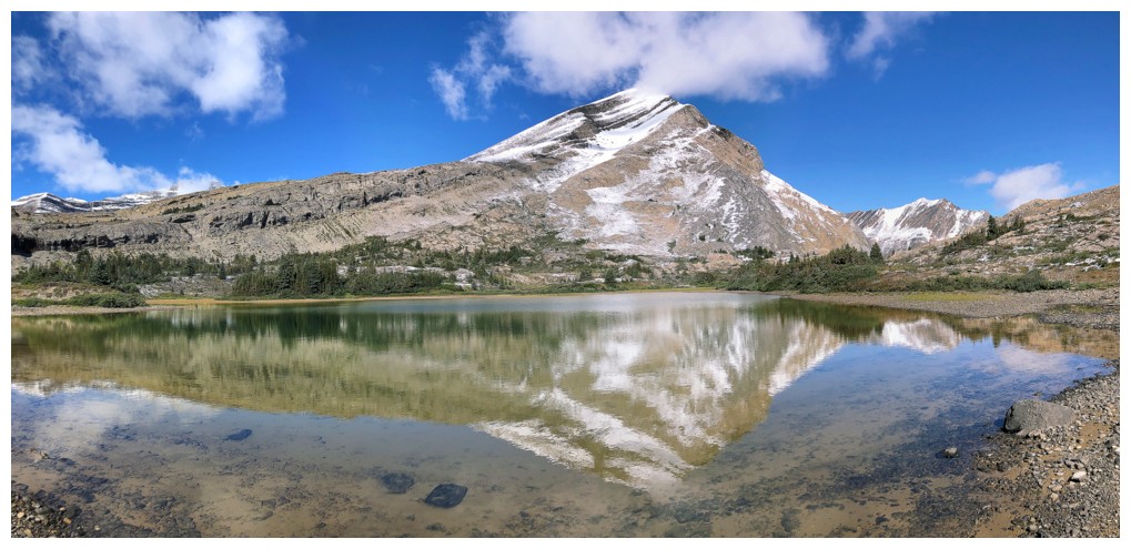
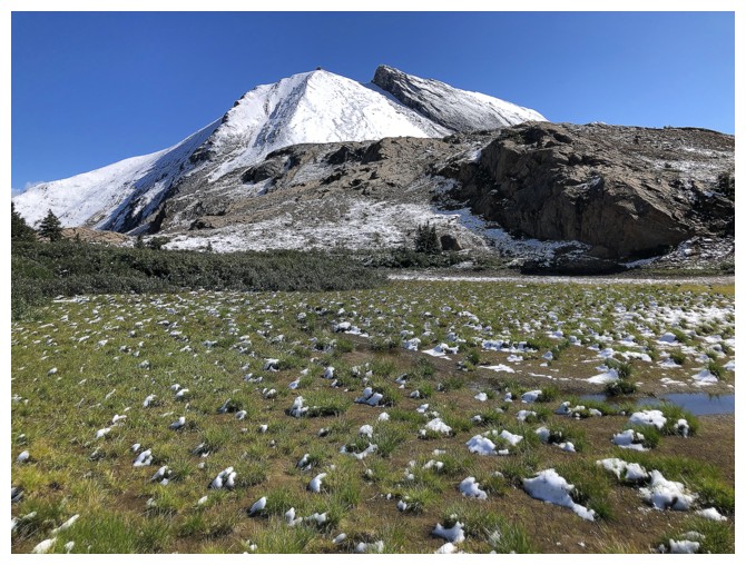
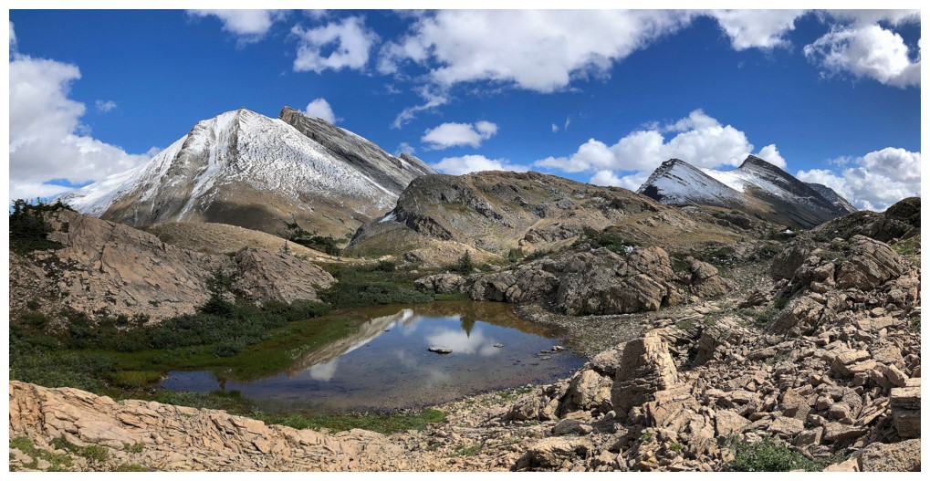
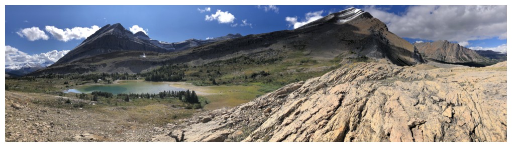
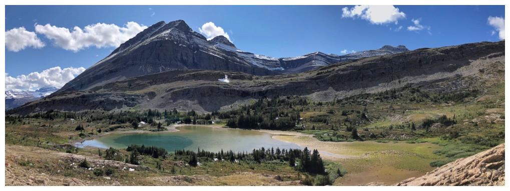
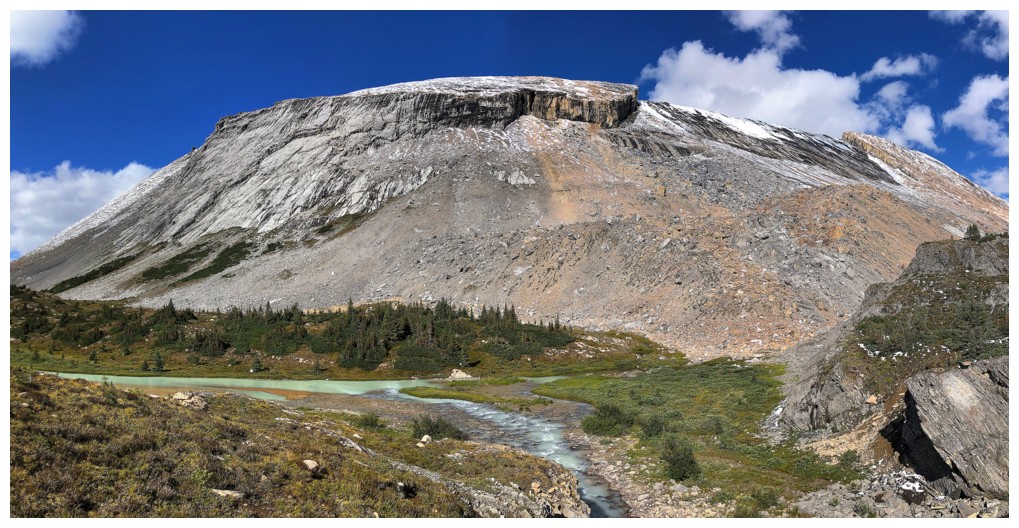
The cool peak and the tarn
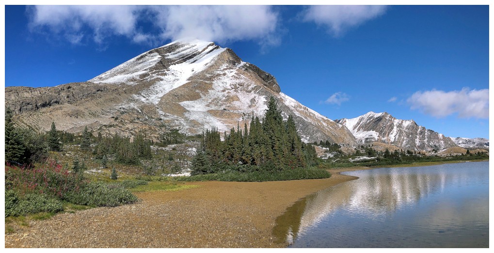
Nosecone and the tarn
Of course, because of wonderful views from all sides, I felt it necessary to circumvent the tarn at this point
Finally leaving the tarn
The new snow is melting rapidly and would be completely gone by the time I returned to the tarn
On the lower slopes of Nosecone
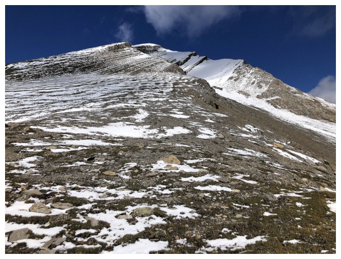
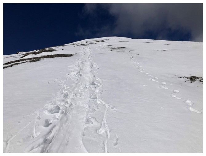
Looking up the easy, but foreshortened slopes
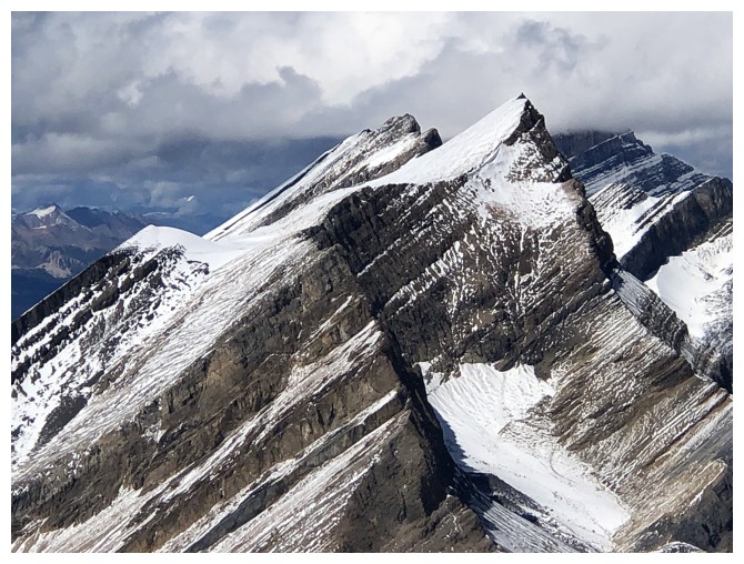
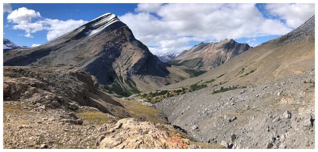
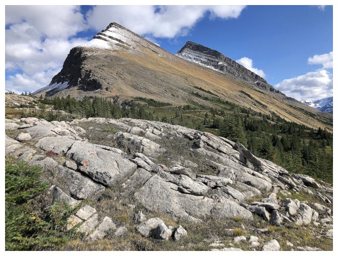
Nigel Peak (right) and some of it's outliers
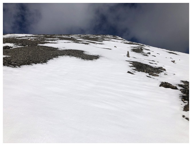
Still a long way up, but the snow helped
North Twin (distant left) and Twins Tower
Success! The summit view to the north.
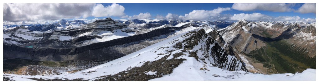
Same as above, with views to the northwest and west also
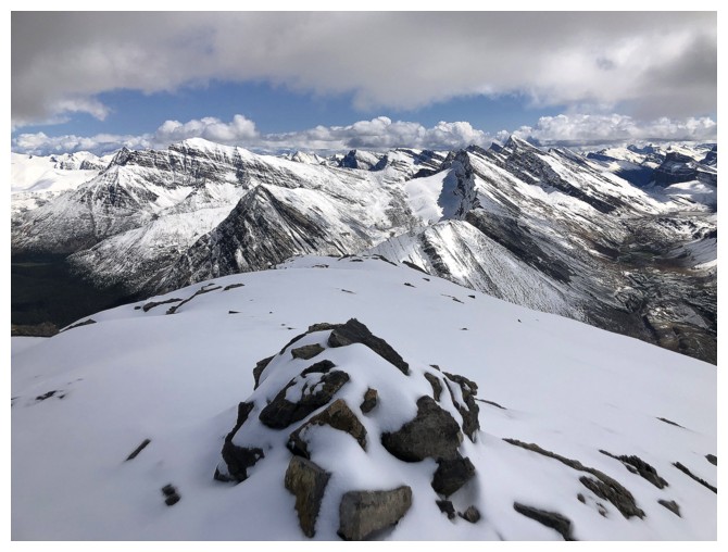
The summit cairn and view to the east
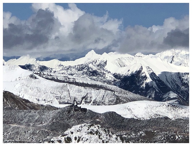
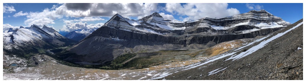
Some big, snowy peaks to the northeast
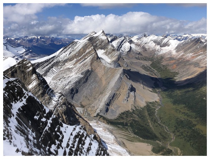
Massive Mount Stewart in the distant centre
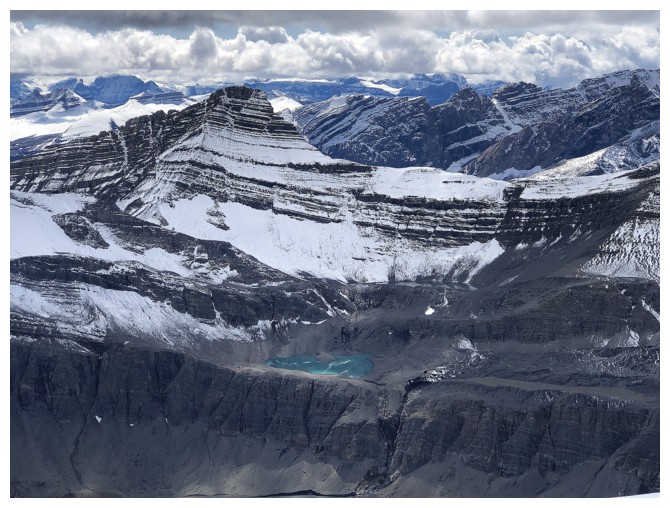
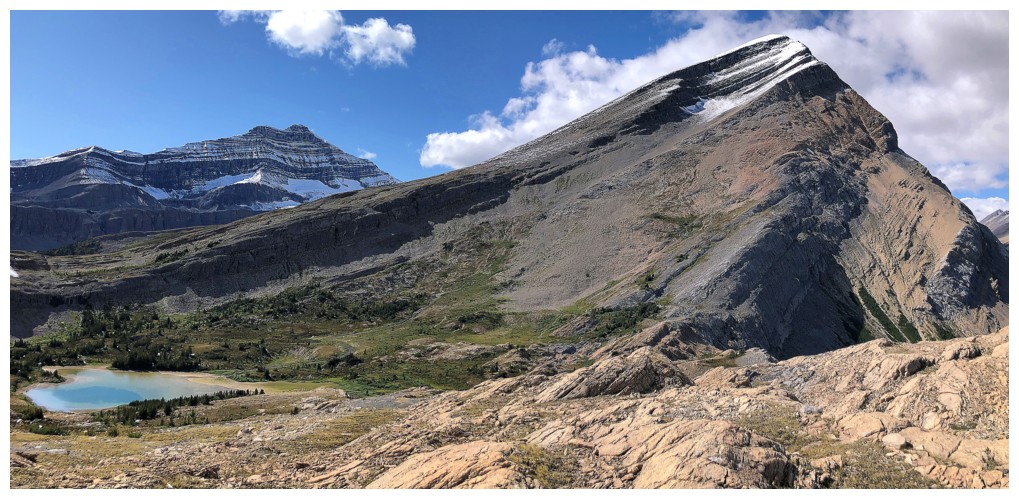
Small lake below a Nigel outlier
Closer look at Stewart
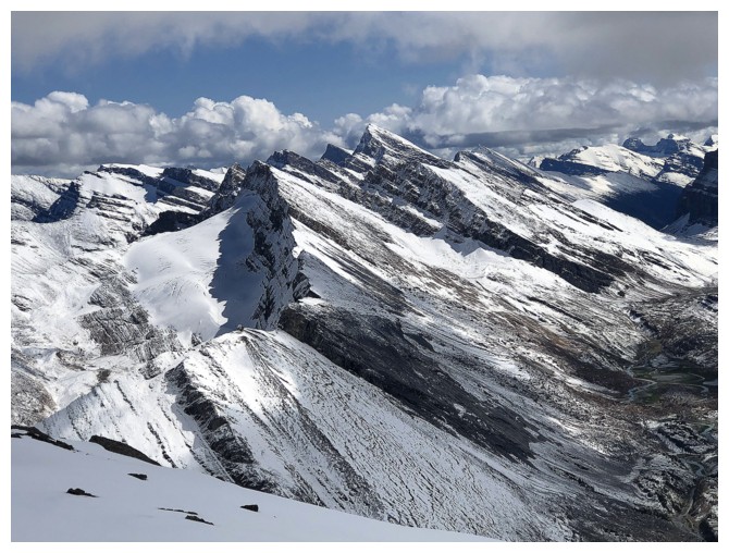
The very steep east side of Nigel Peak
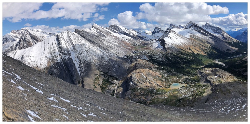
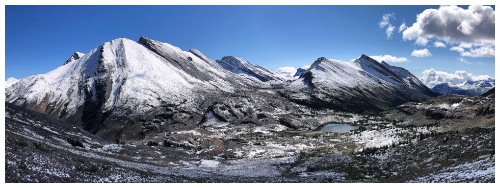
The valley north of the summit was probably the highlight of the view
More unnamed peaks to the northwest
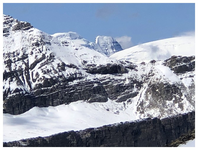
The iconic north side of Mount Athabasca
Mount Andromeda is also iconic
Mount Kitchener was a REAL adventure!
Glissade track
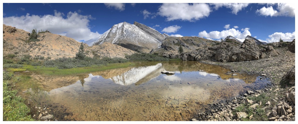
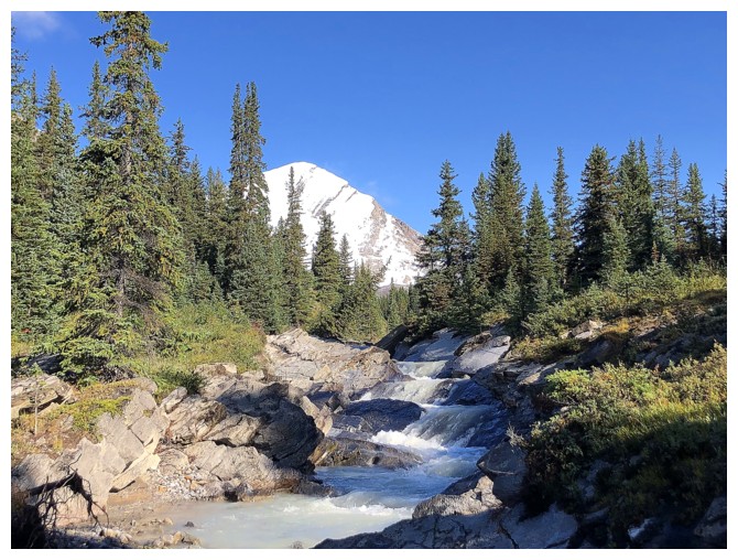
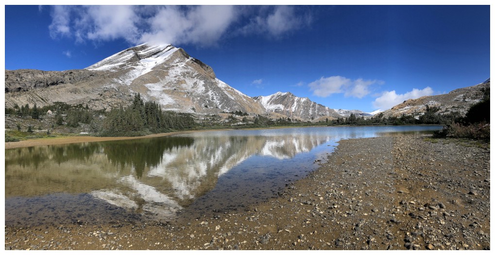
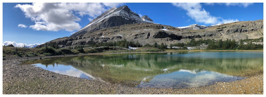
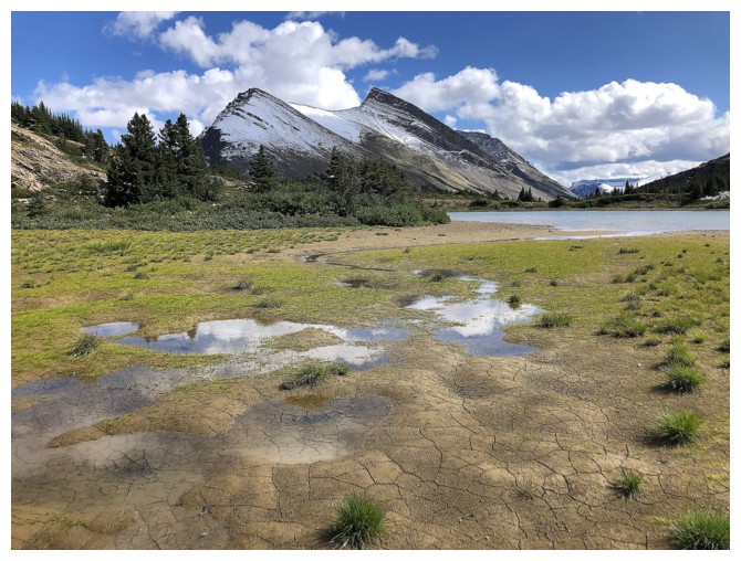
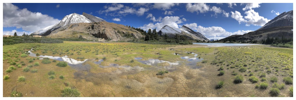
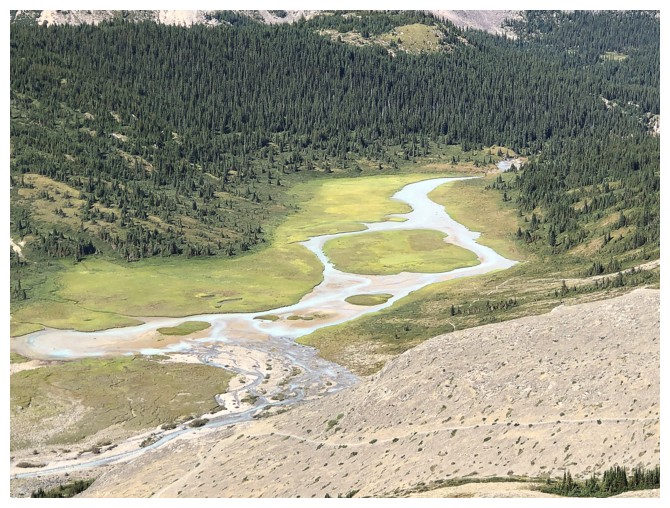
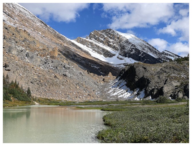
There's another very small tarn at the base of Nosecone
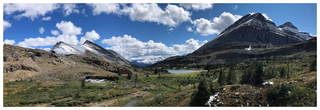
The big tarn is south of the small tarn
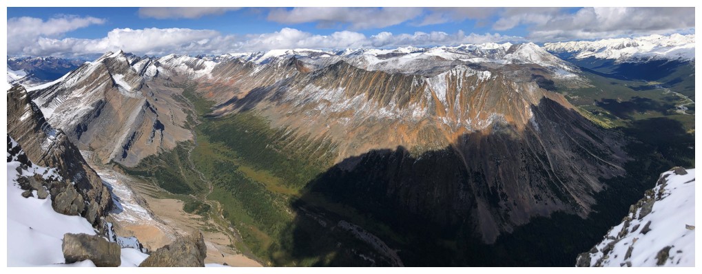
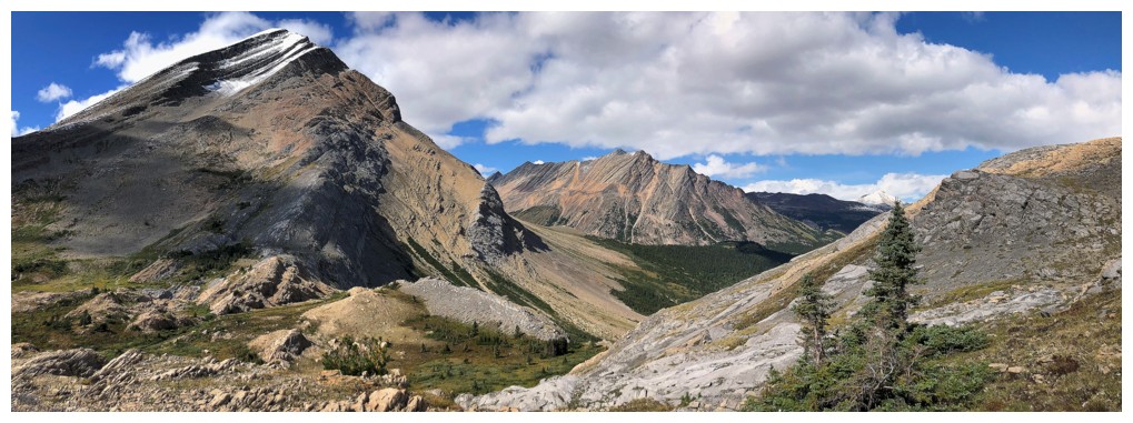
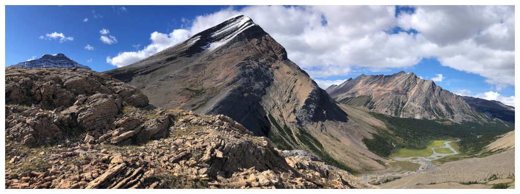
Great terrain to the east of the objective
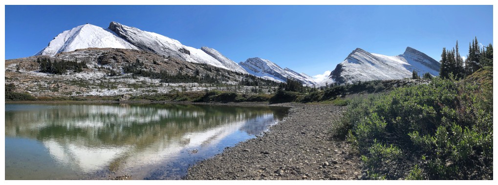
Heading back to the big tarn
The new snow is all gone
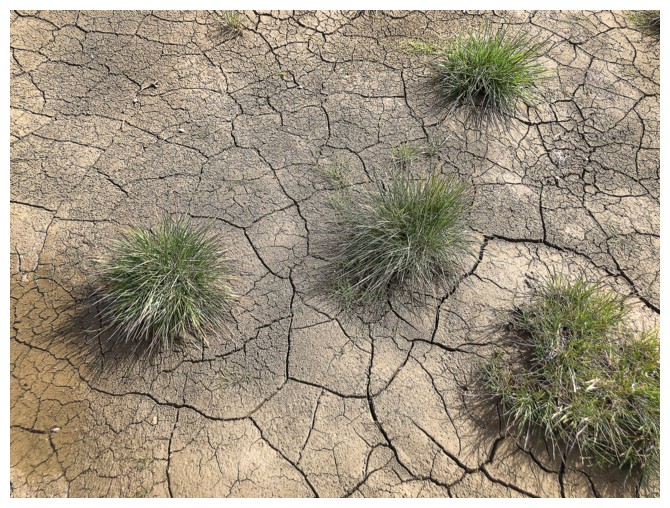
And it's actually looks quite dry
Nice colours on this small peak to the north
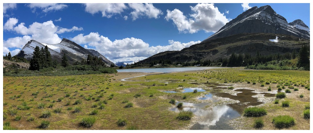
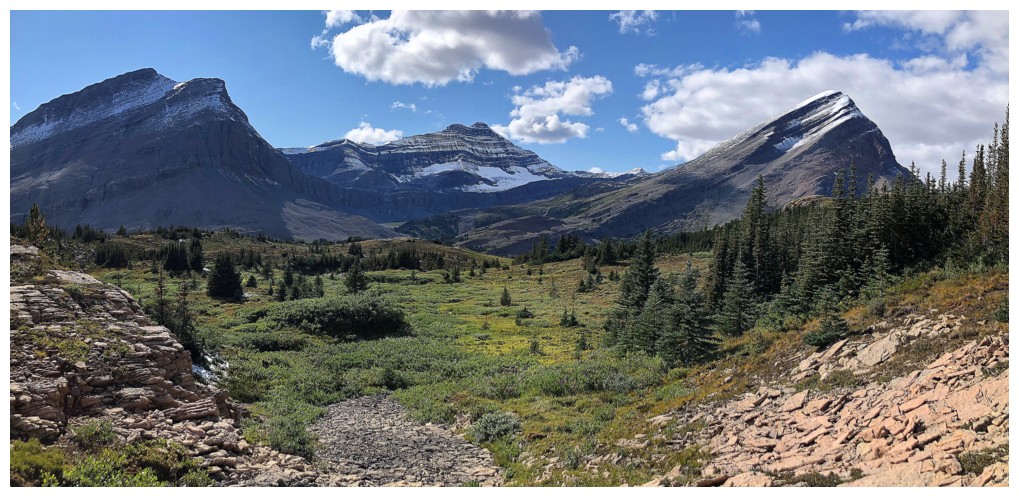
Leaving the tarn and heading for Nigel Pass
Looking back at the tarn
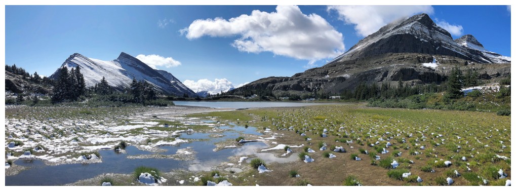
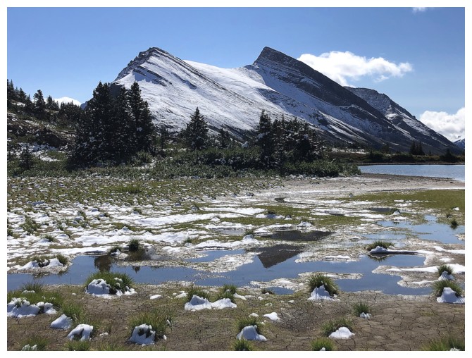
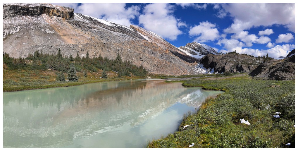
Such a beautiful area
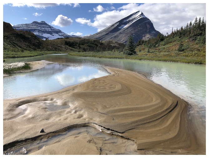
And great rock to walk across
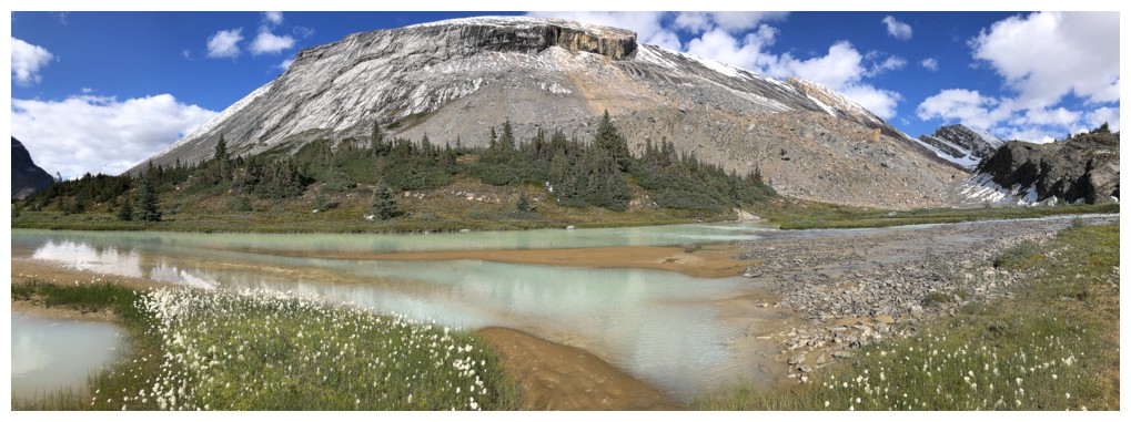
The Brazeau River, at the right, will be the center of attention for awhile
....along with unnamed peak
Close-up of the Brazeau
The other unnamed peak is rapidly losing its snow
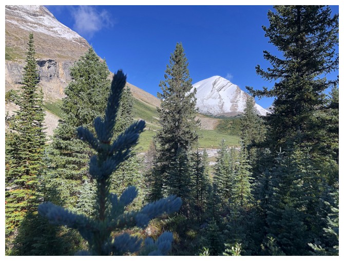
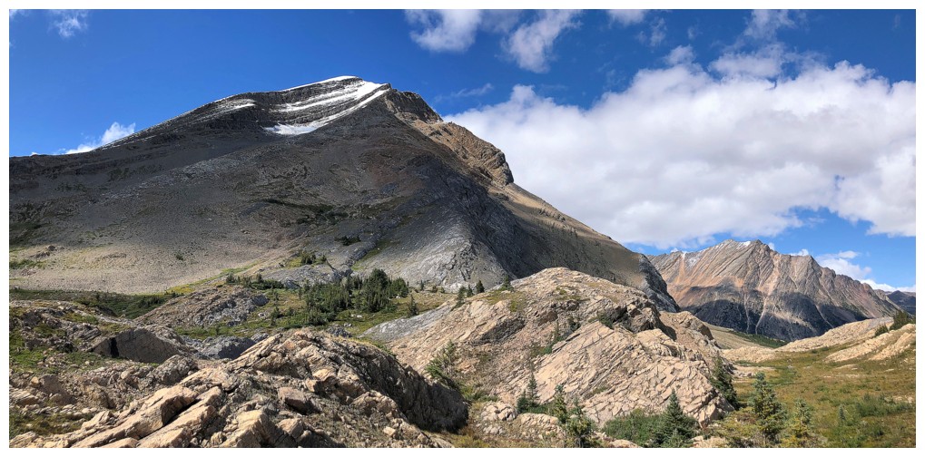
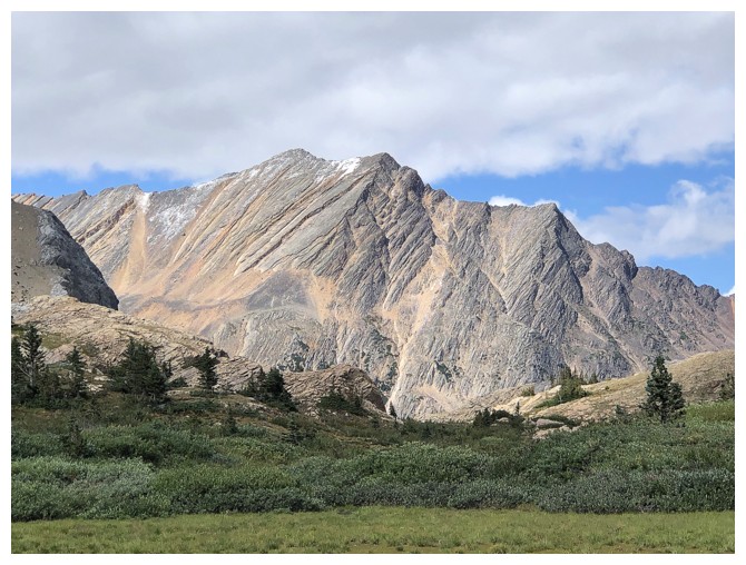
Nosecone is also still demanding lots of attention
Descending to the river, east of Nigel Pass
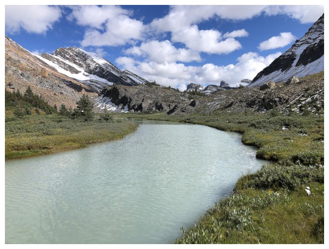
The colour of the river indicates the water contains lots of glacial flour (silt)
Unnamed peak north of Cataract Pass
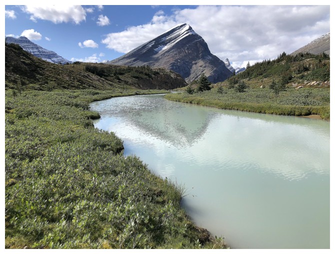
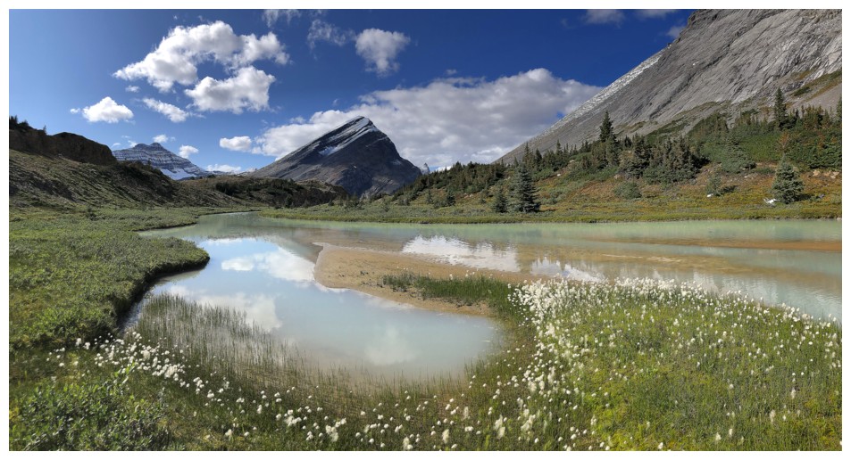
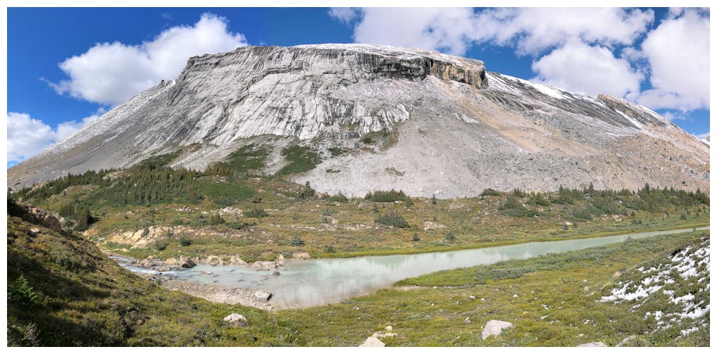
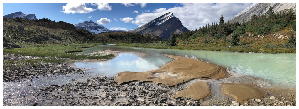
Nosecone reflected in the river
Perhaps, the best part of the trip
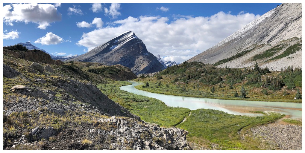
As far up the river as I got. Time to go home.
Scenic travel back to the Nigel Pass Trail
Unnamed peaks on the east side of the valley
A lot less snow on Nosecone now
Distant Mount Athabasca and Hilda Peak
The End
LOG