Opal Ridge South VI
January 9, 2021
Mountain height: 2600 m
Elevation gain: 1000
m
Round-trip time:
5:20
Solo scramble.
Opal Ridge South is another peak that has
achieved the “Great potential year-round trip that’s guaranteed to delight if
you can’t think of anything else to do” status. If looking for a great workout,
with outstanding views, the south peak of lengthy Opal Ridge rarely disappoints,
and this day was no exception. Except for an almost humourous route-finding
error near the beginning that put me on the wrong ascent slope, the trip was a
resounding success and highly enjoyable.
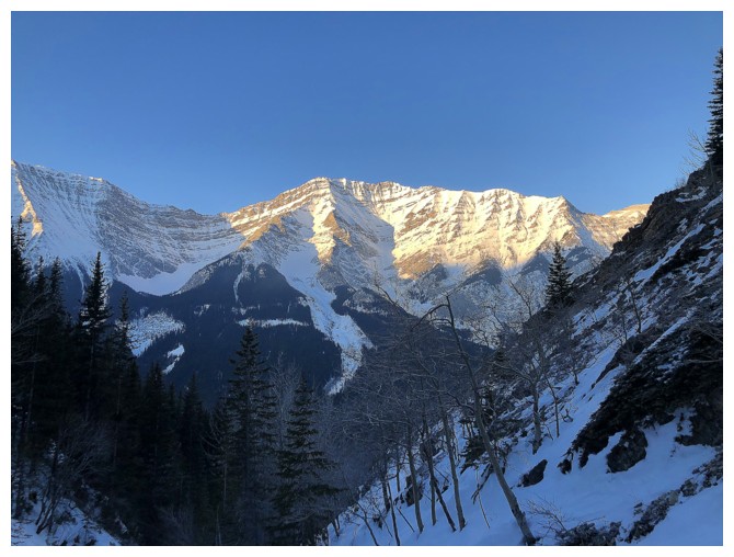
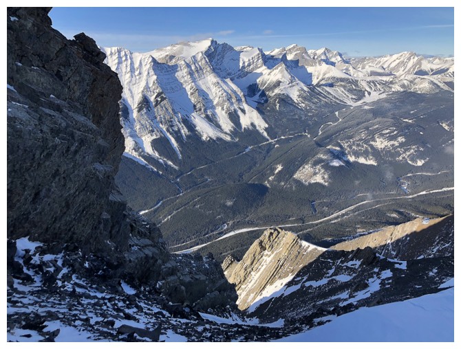
The Sun's rays hit Mount Inflexible. But something is wrong with the
angle I'm seeing the mountain. That's because I'm on the wrong
side of the major drainage that divides the mountain.
Blurry photo of the ridge I was on and the valley I had to descend into and ascend out of to correct my navigation error
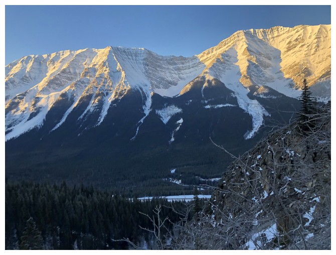
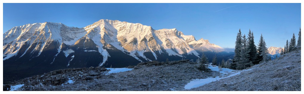
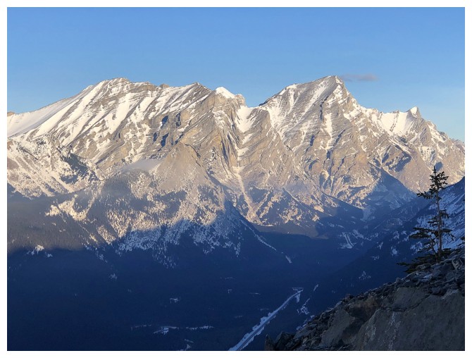
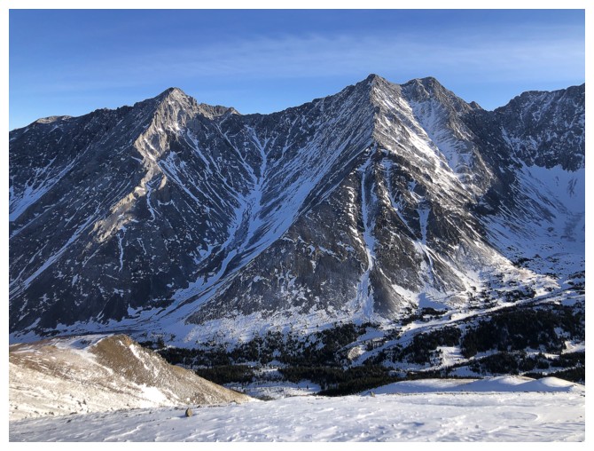
Lawson (left) and Inflexible look better now!
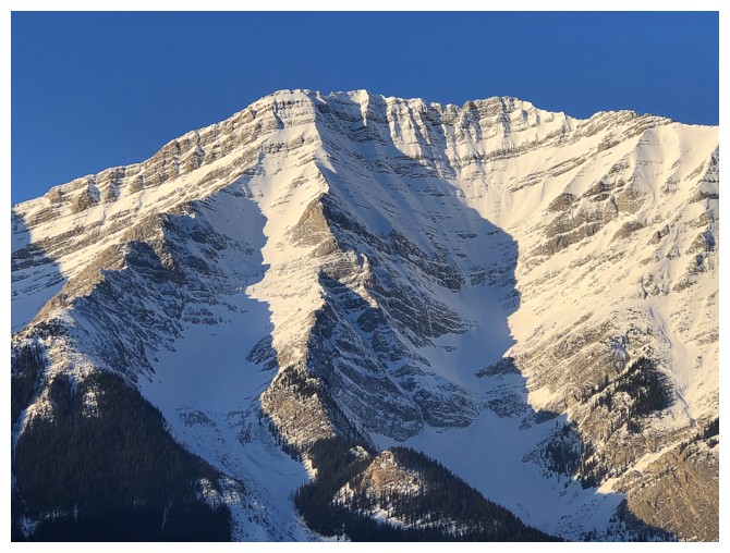
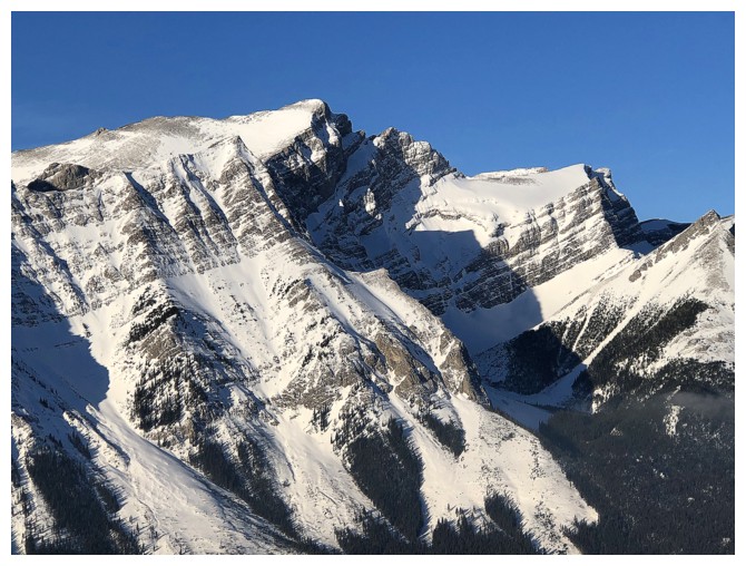
Closer look at the summit of Inflexible
Mount James Walker (just right of Inflexible) joins the show
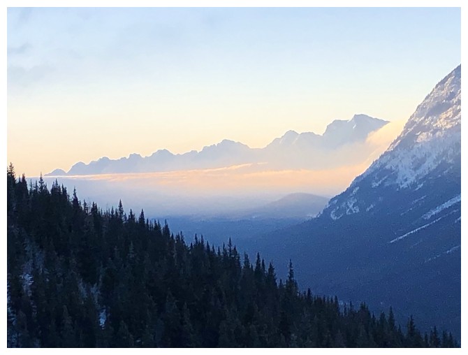
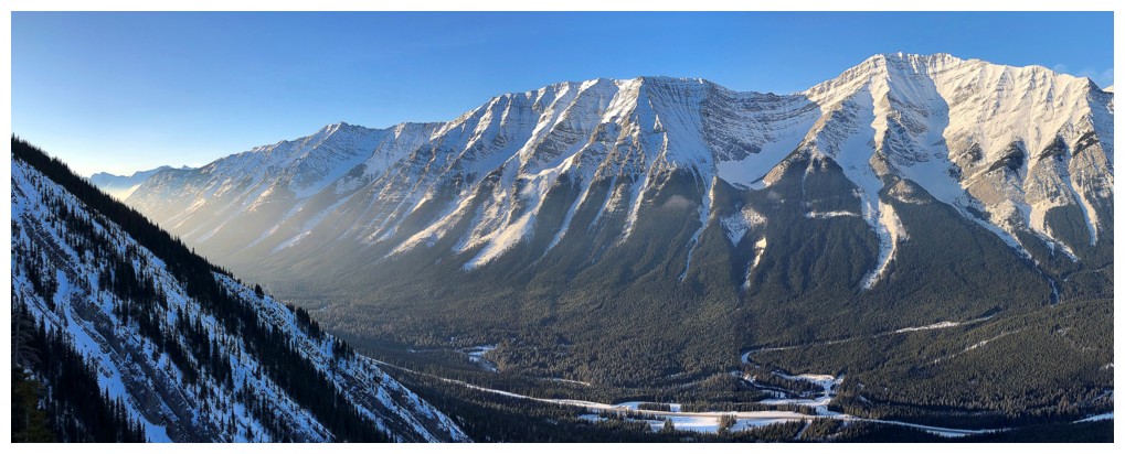
Early morning look over to the Kananaskis Lakes area
The summit of Opal Peak South
Expanding views
The Kidds: South Kidd at the left and Mount Kidd to the right
Mount James Walker
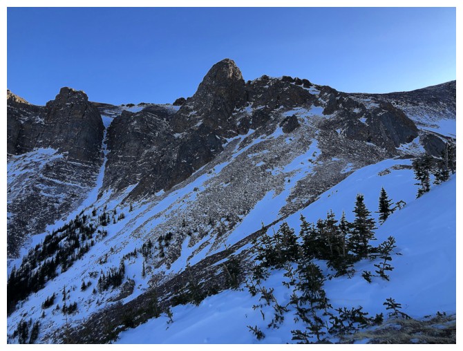
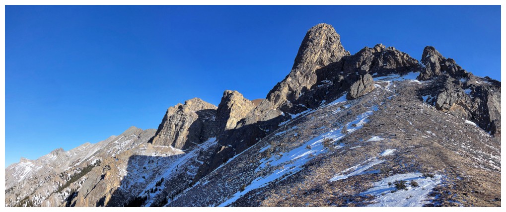
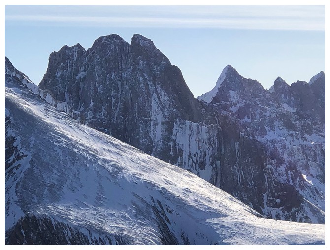
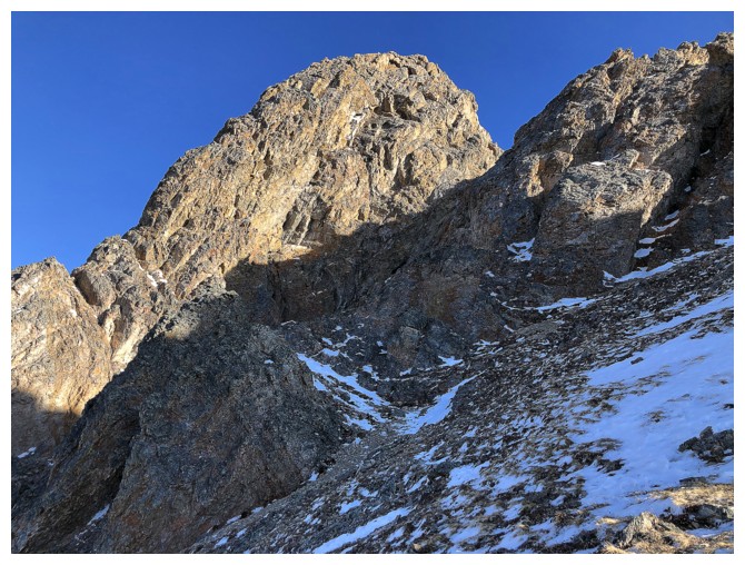
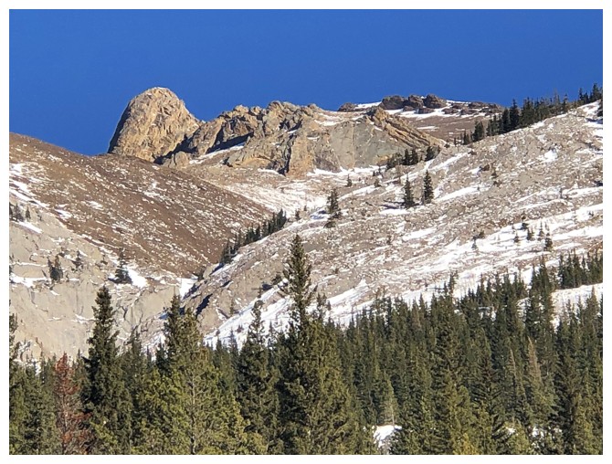
Looking up to the interesting route ahead that goes between several towers of rock
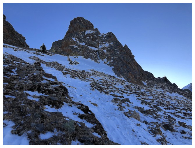
Getting steeper but nothing too alarming
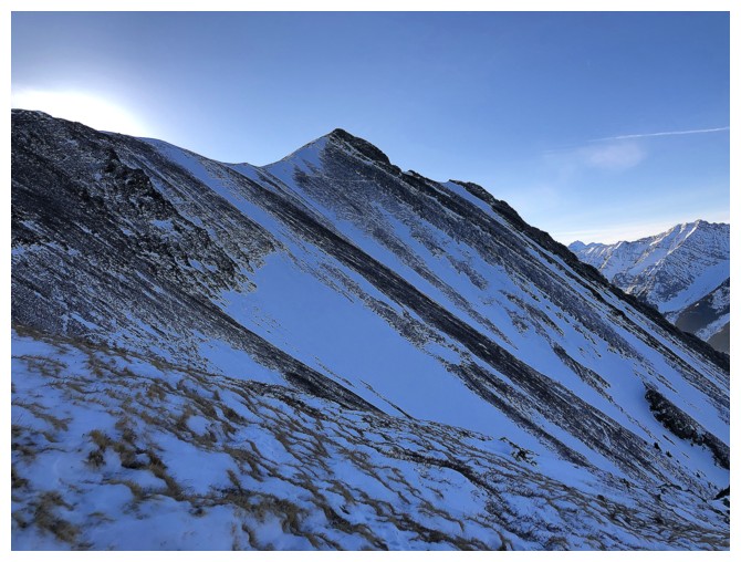
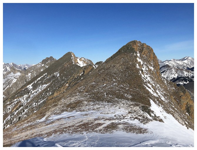
Looking over to the south summit
Almost out of the shadow of the mountain
One of the first things you see upon gaining the ridge: the double summits of Denny, Potts, and Evan-Thomas
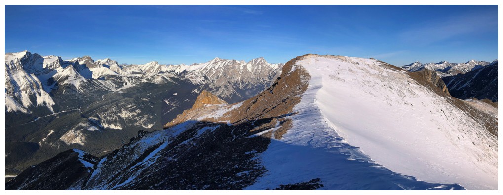
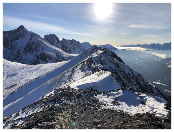
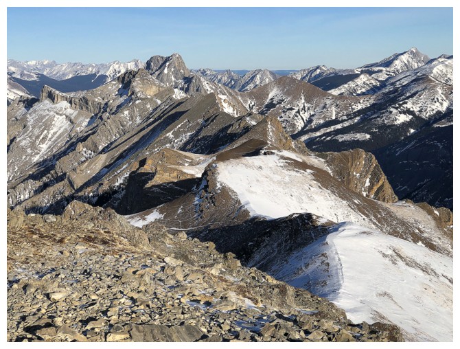
Looking north
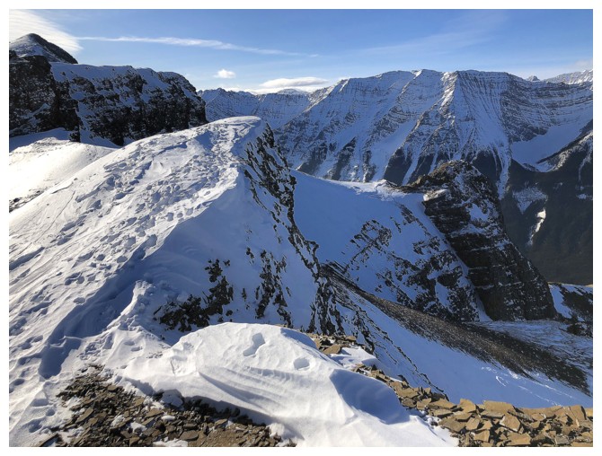
Part of the north ridge I explored after going to the south summit
Looking down some of the route
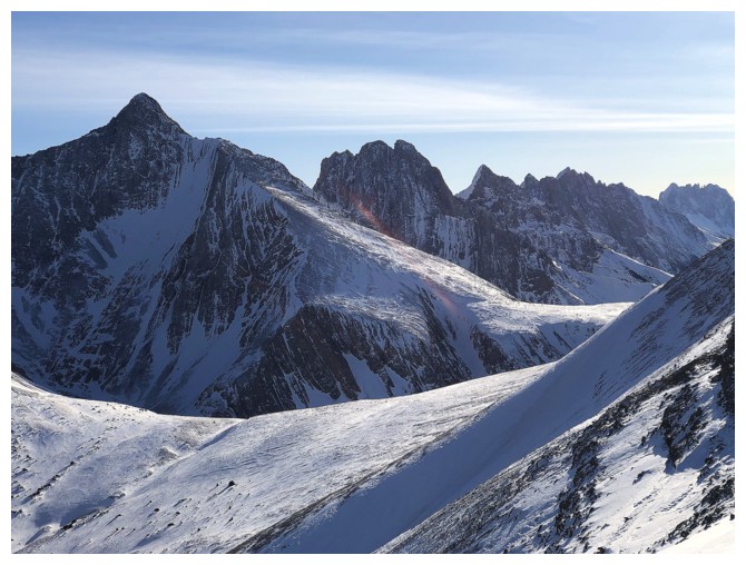
Denny at the right and "Rocky Peak" at the left. There are very few
individuals who have stood atop Rocky (perhaps only two), but my buddy Kevin Barton (who
led me up Mount Evan-Thomas way back in 2005) is one them!
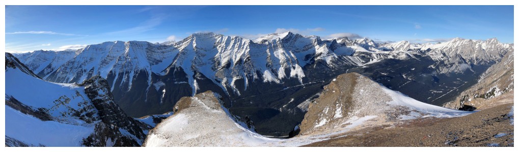
View to the south from the summit
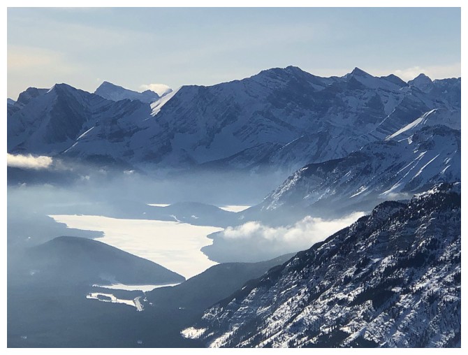
View towards the Kananaskis Lakes
Mount Packenham - a memorable day
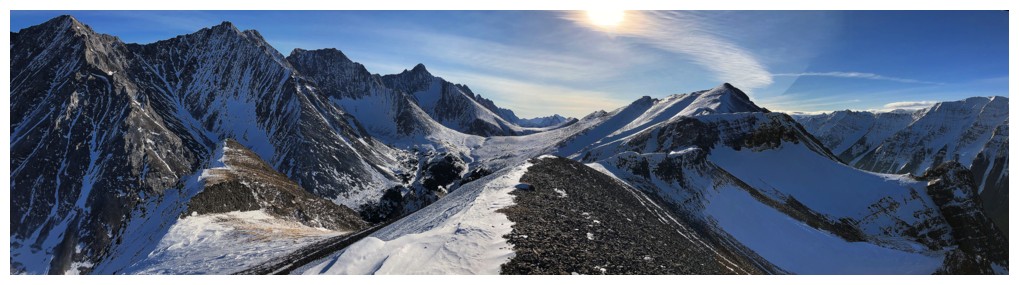
Peaks of the magnificent Opal Range. Elpoca Mountain at the far right - a VERY memorable day!
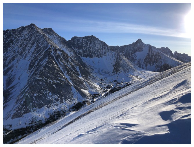
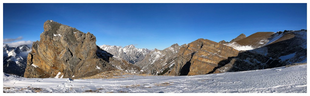
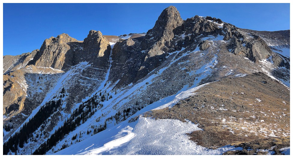
Looking north at the appreciable length of Opal Ridge. The Wedge is just left of centre.
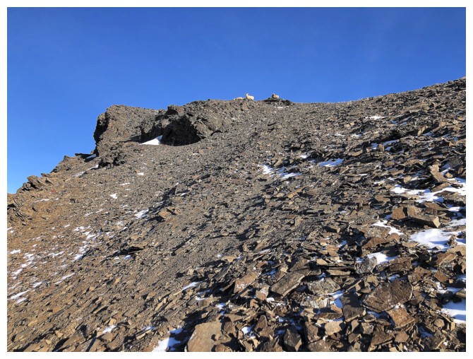
Lost some elevation to avoid distrubing the denizens above
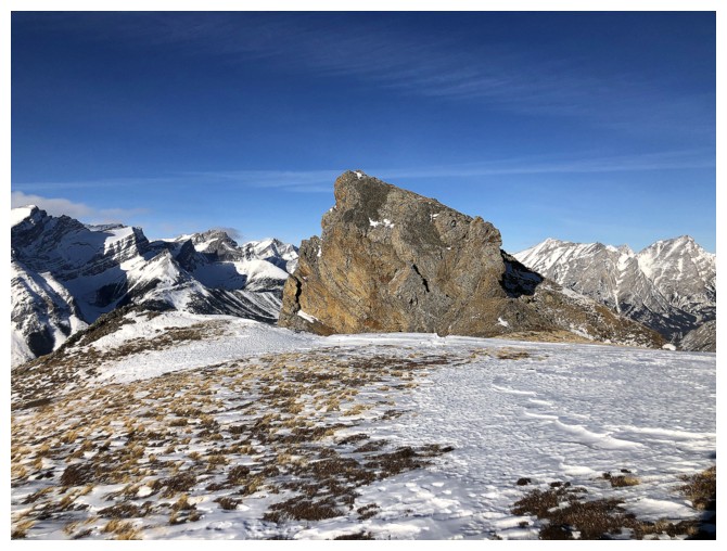
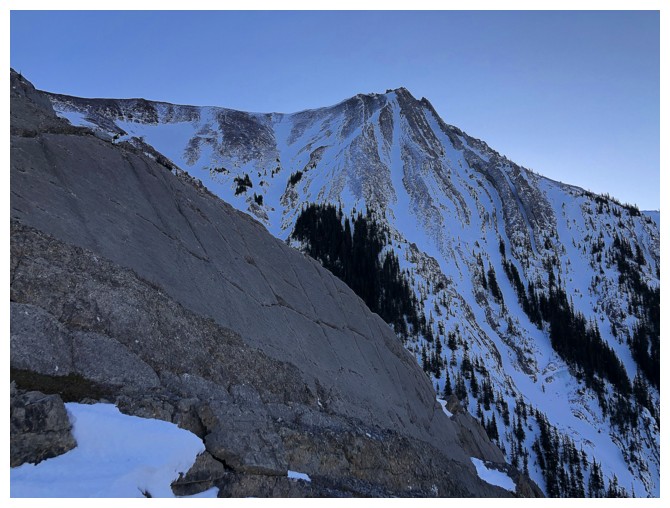
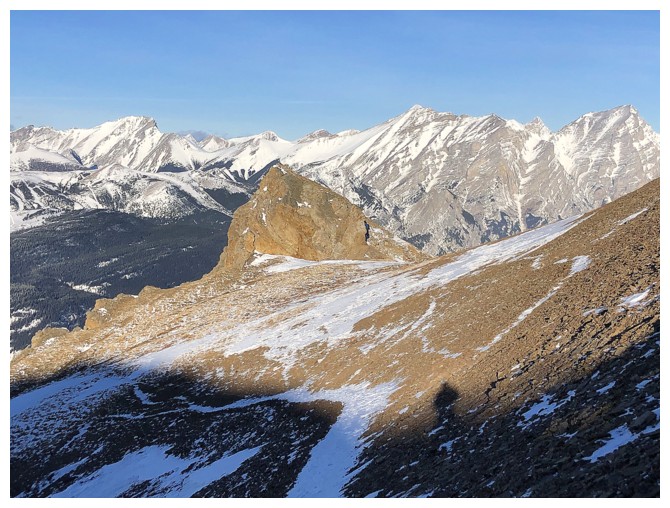
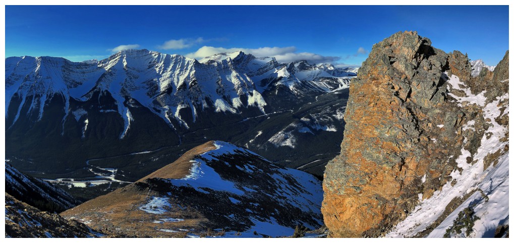
This outcrop of rock on the west face provides significant photo interest and is easily ascended
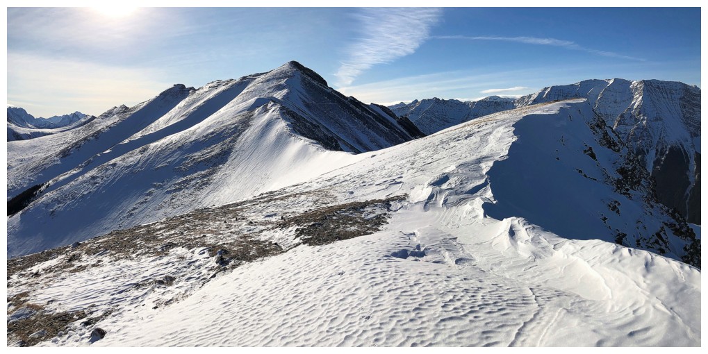
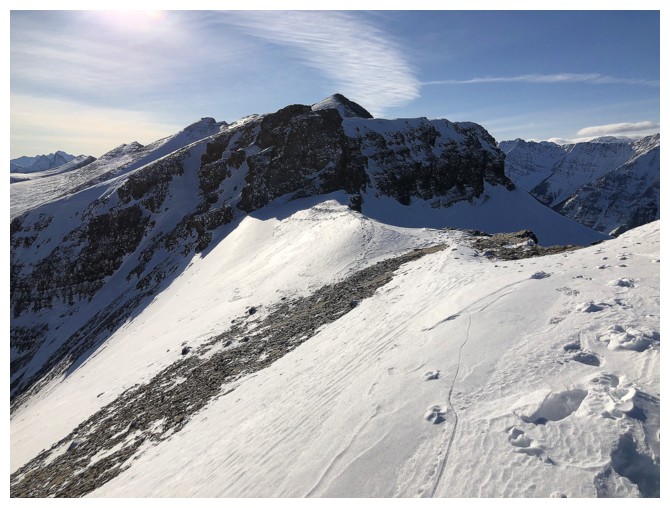
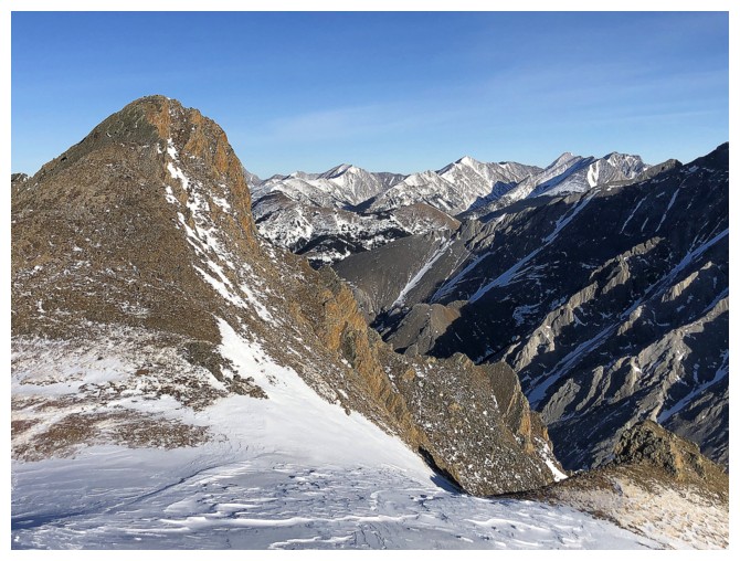
Looking back to the south summit
Looking back at the rockband I had to downclimb (on the left side
though) to start hiking the north ridge of the south summit, which is
really the south ridge of the true summit of Opal!
That band
Views to the south continue to impress
The view to the west hasn't changed much, but no need for change when you are already awesome!
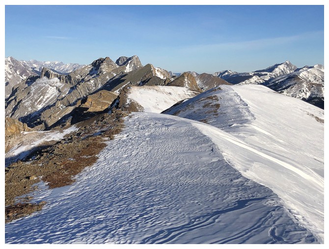
About as far as I got before turning around
Several unnamed peaks to the northeast
Heading back
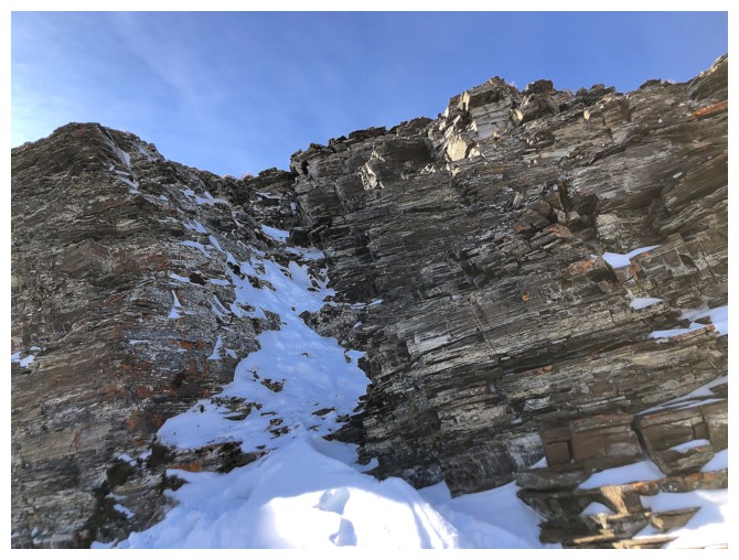
The route to get back up the rockband
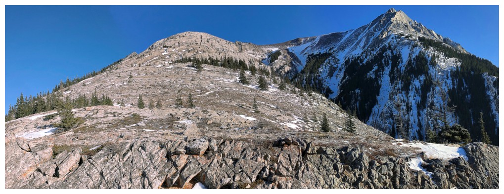
The summit of Opal Ridge in the centre
Back to that cool outcrop
The outcrop from below
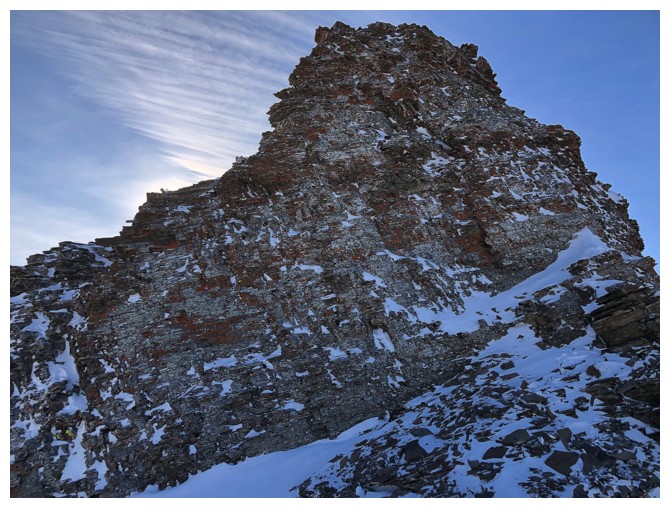
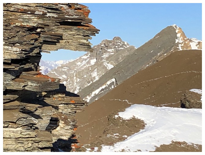
Lots of cool and colourful rock high on this peak
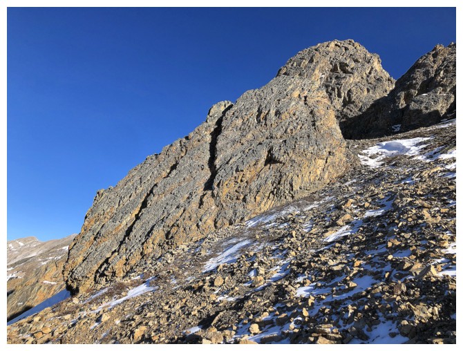
Same as above
Looking back up the route
Same as above, but from much lower down the mountain
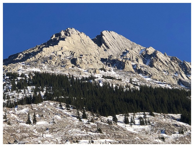
Close-up of the south summit
Back near the start, looking up the route
The End
LOG