Opal Ridge South VII
December 29, 2022
Mountain height: 2600 m
Elevation gain: approximately
1000 m
Roundtrip time: 4:50
Scrambling with
Mark.
I often find it surprising how snow-free this route
can be in the dead of winter. As such, it makes for a great winter objective
when avalanches are a concern. The last time Mark had been this way was a
whooping 20 years earlier. I had been up Opal South about a year earlier, but
am always a game for an ascent of this mountain. 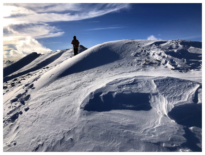 The scenic rewards are
fantastic and the view upon reaching the ridge is stupendous.
The scenic rewards are
fantastic and the view upon reaching the ridge is stupendous.
We did decide early on that once the ridge was
attained, we would attempt to traverse north towards the north (true) summit of
Opal Peak instead of south to the nearby south summit. There were several highpoints
along the north ridge that appeared to be good objectives for the trip.
Getting up the ridge was not at all an issue – just
longer and more strenuous than anticipated. The same was not true once we
started traveling north. A snowy and therefore non-downclimable drop-off was quickly reached. The
right (east) side of the ridge was plastered in snow (so much for a snow-free
objective) and looked to be most uninviting. The only option left was to lose
elevation down the west side and traverse under the rock band that was providing
the impasse.
Arriving at a point where we could possibly start the
traverse, a decision needed to be made. We had crampons and ice axes with us
but were also being assaulted by a bone-chilling wind. Mark and I no longer
deal with the cold as nonchalantly as we did in our younger days. The thought
of exposing our hands to the bitter cold just to put crampons on was
stomach-churning to me! We decided the route would wait for another day and made
a quick retreat down the mountain.
Not the results we wanted but there’s no such thing as
a wasted day on Opal Ridge South!
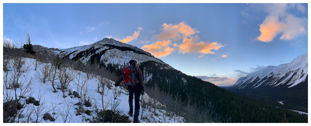
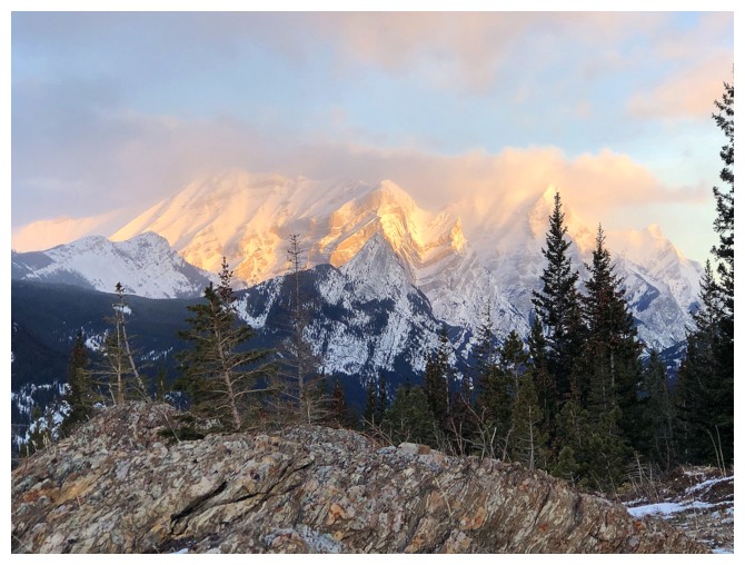
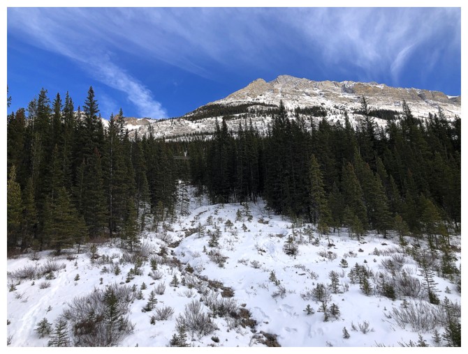
Early morning colours on the lower slopes
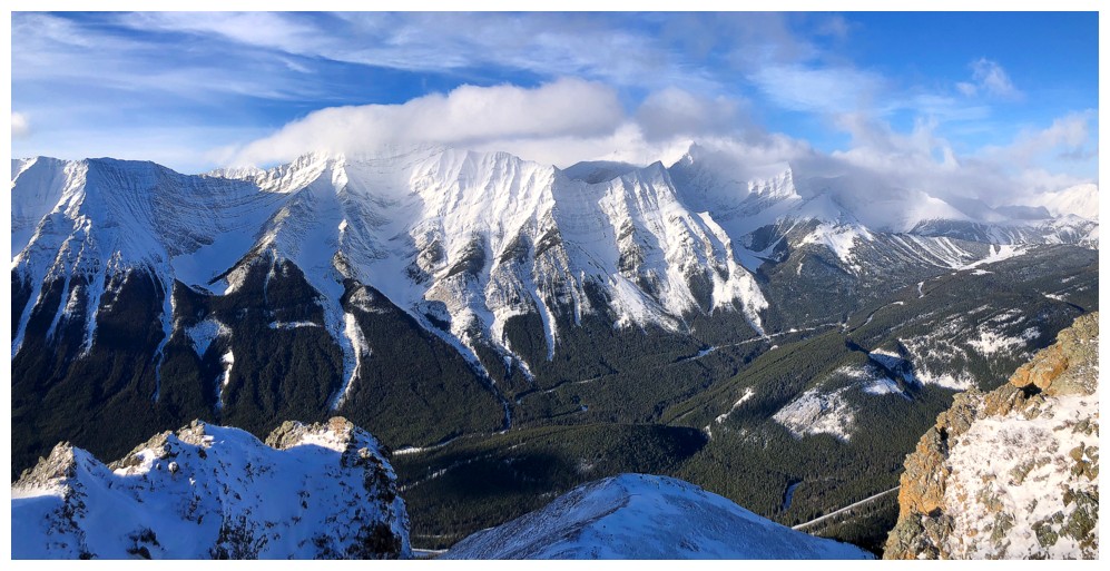
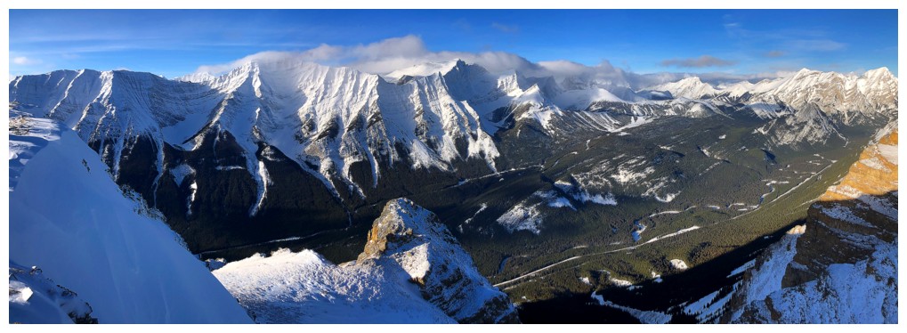
Clouds draped over mounts North and South Kidd
A little cloudy over Lawson and Inflexible too
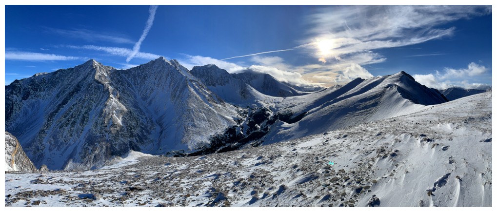
That's pretty snow-free for late December
Inflexible is getting some Sun
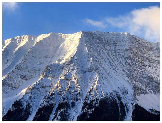
Mount Lawson
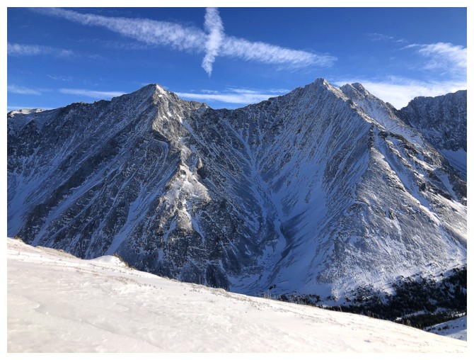
Looking over to the south summit
View to the southwest
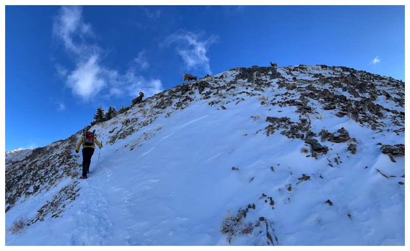
An ascent of Opal Ridge without seeing the sheep herds is rare. Also
the reason why ascents during tick season need to cautious ones. I've
seen the summit cairn crawling with ticks - don't sit down!!
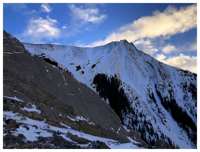
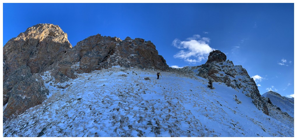
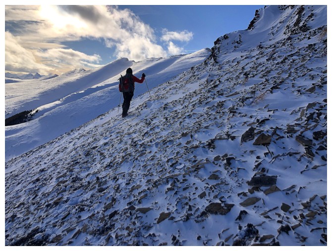
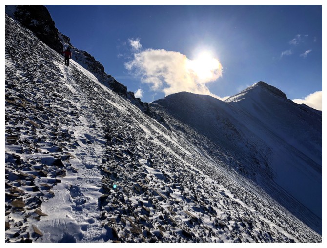
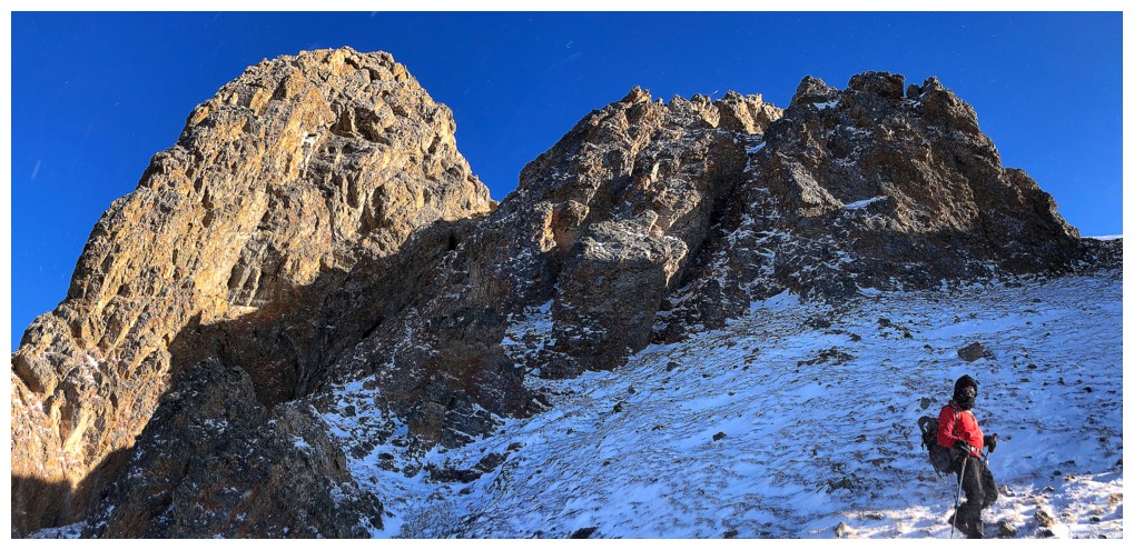
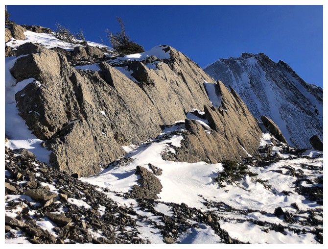
Most of the labourious stuff is done and at this point and the ascent gets very interesting
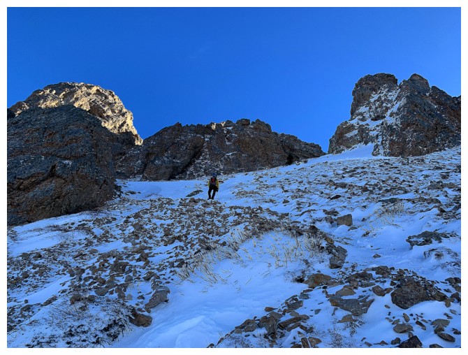
The line goes right between the towering walls of rock
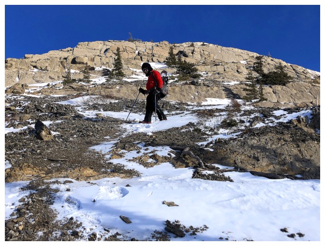
Mark follows
The only downside of the ascent is that, unless you are starting in the afternoon, the rock is in shade throughout
....except the top of that distinctive outcrop at the left
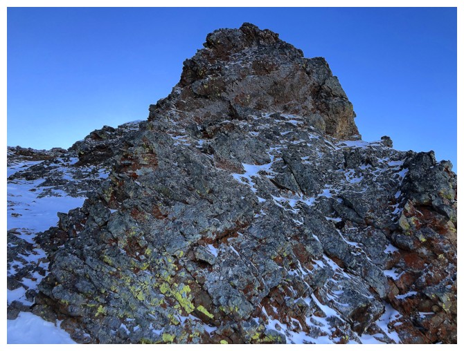
And it's covered in lichen!
Near the outcrop
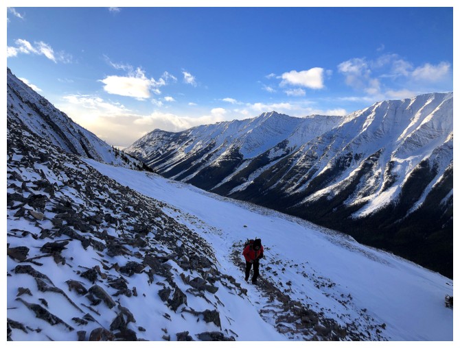
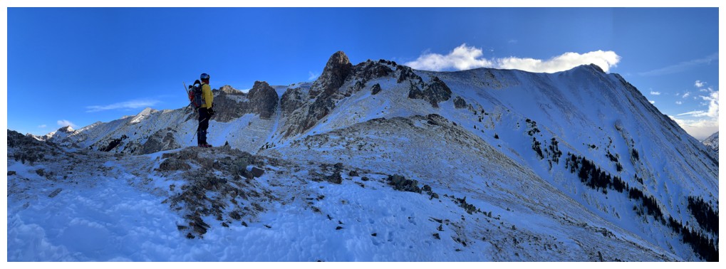
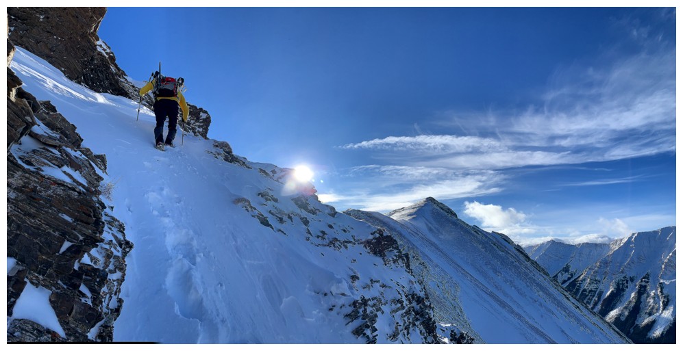
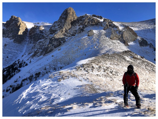
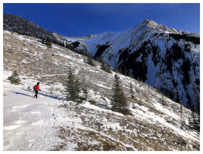
Approaching the ridge. The route goes up the right side.
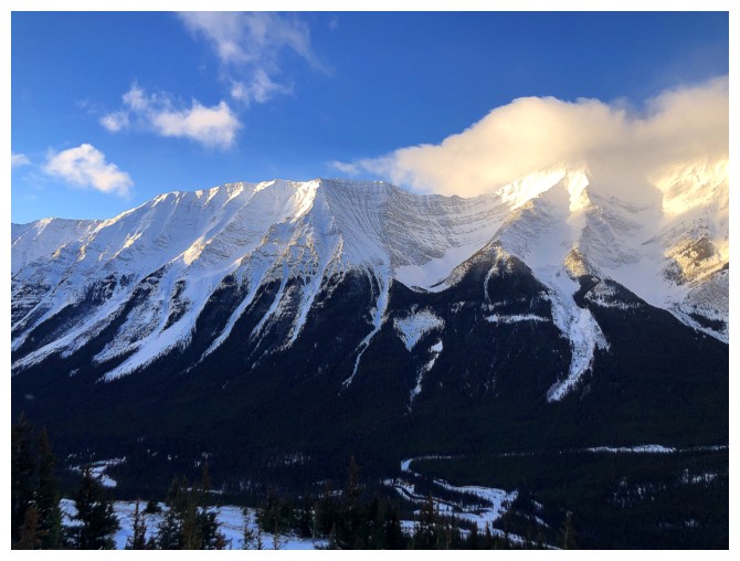
Still a little cloudy to the northwest, but it could be much worse
A peaceful looking scene but: strong wind + cold air = nasty wind chill!
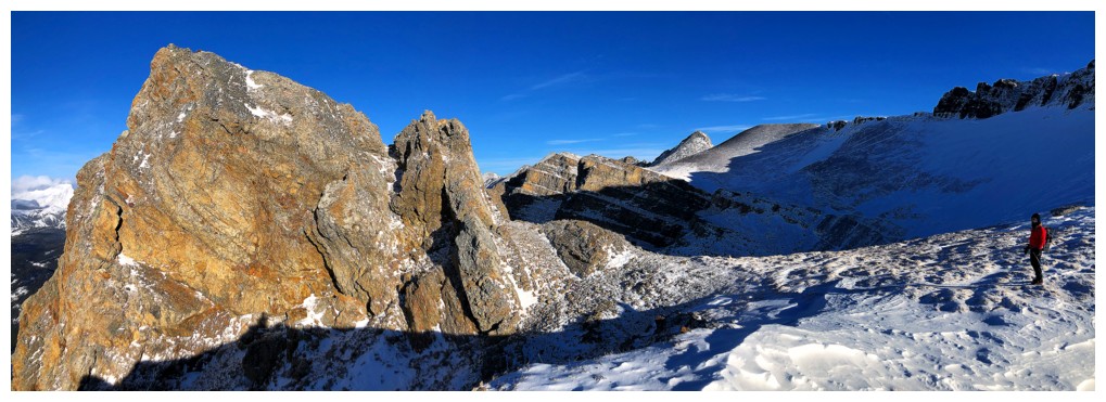
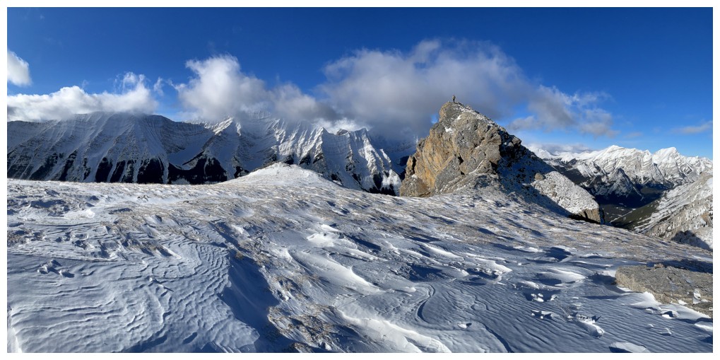
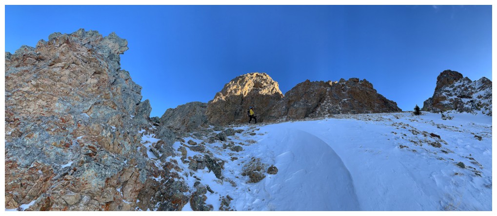
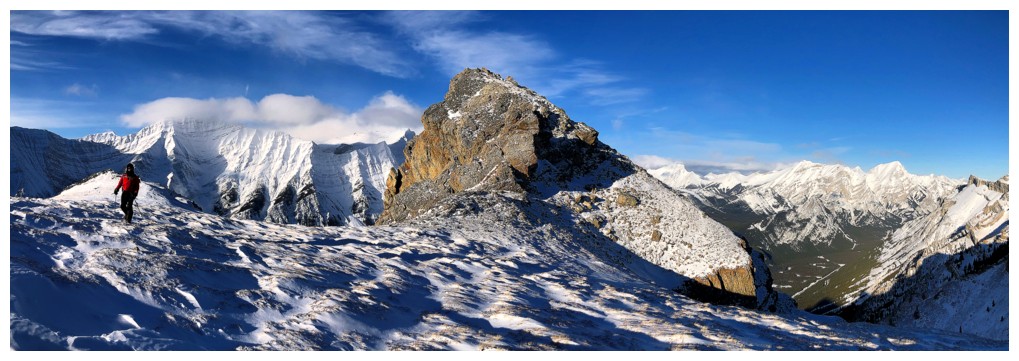
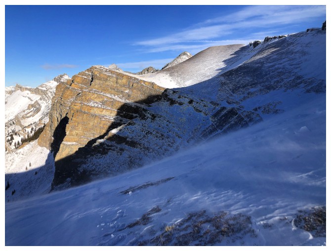
Mark and the outcrop
Same as above
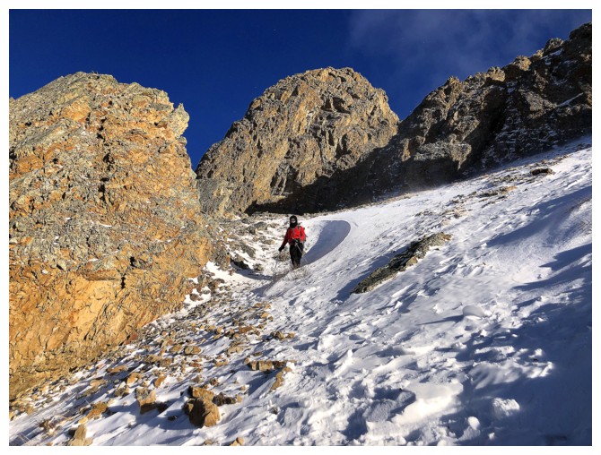
Checking out the route under the rock band we would eventually consider
Leaving the outcrop....
...and heading up to the ridge
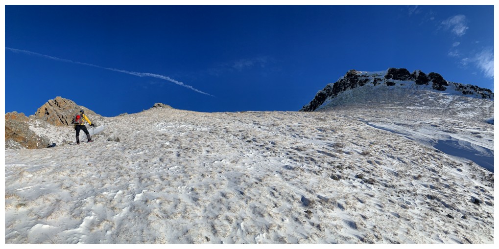
Not overly steep but not gentle either
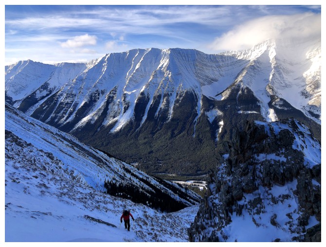
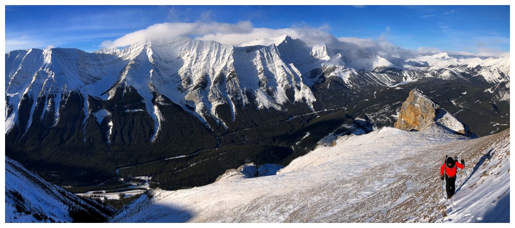
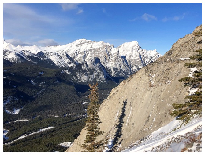
Rocky Peak (left) and the double summits of Mount Denny (right)
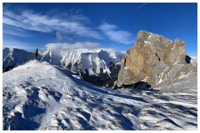
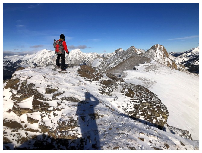
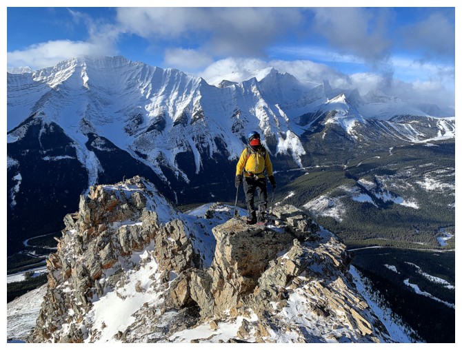
South summit behind
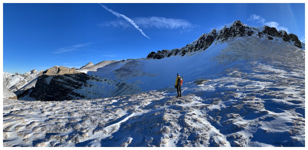
View to the north
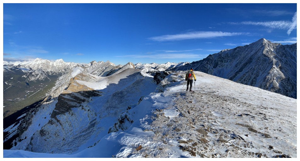
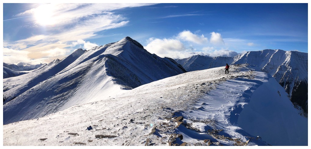
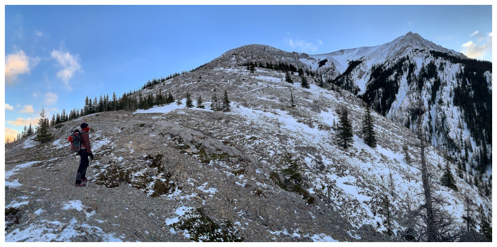
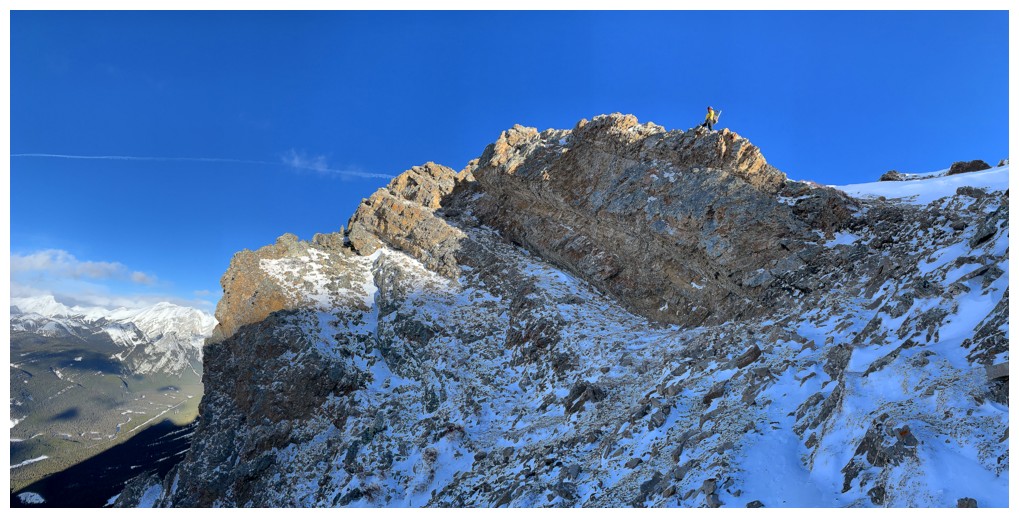
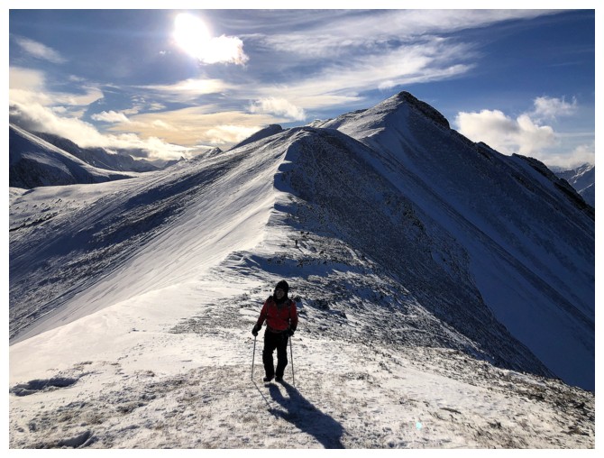
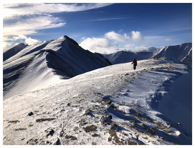
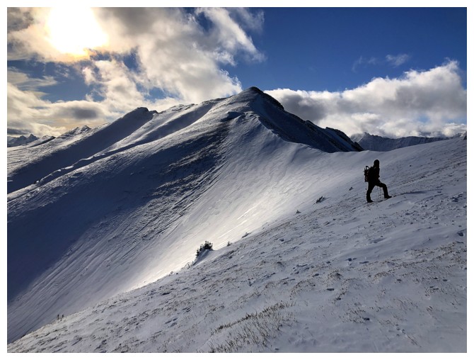
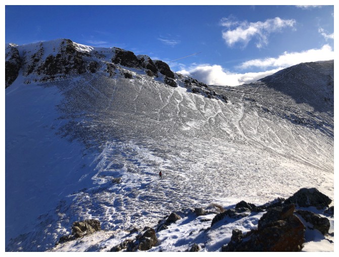
Walking the wide ridge
Hard not to keep looking south, as the view to the South summit is always a cool one
Starting to clear over Inflexible
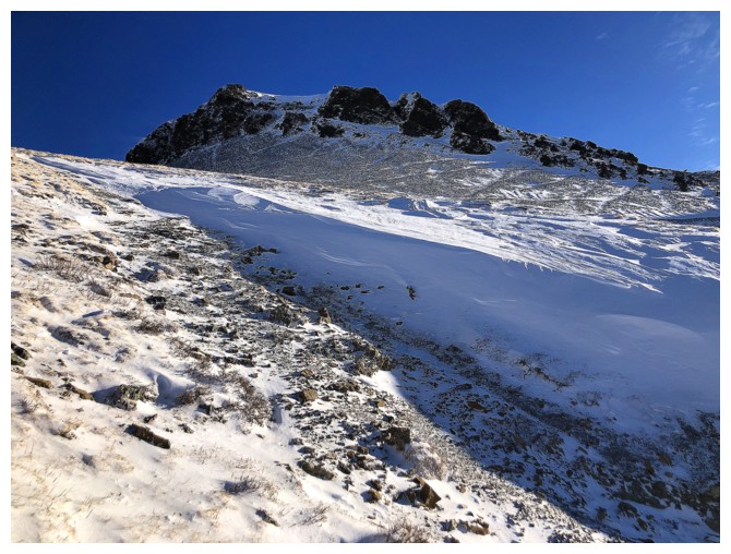
Little snow on the west face of the mountain, but tons on the ridge and east side
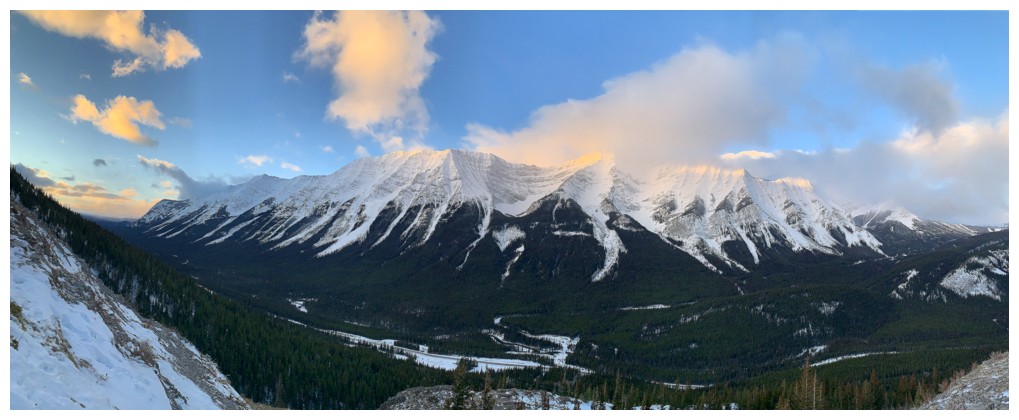
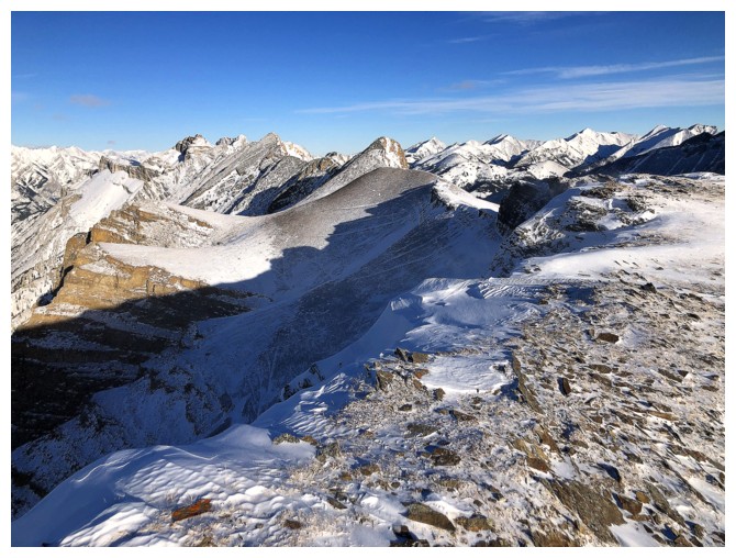
View to the south features many peaks of the Opal Range
Oops! It's a dead-end. Without all the snow, downclimbing the drop-off ahead would have been possible.
Looking for a route on the east side to bypass the difficulties on the ridge
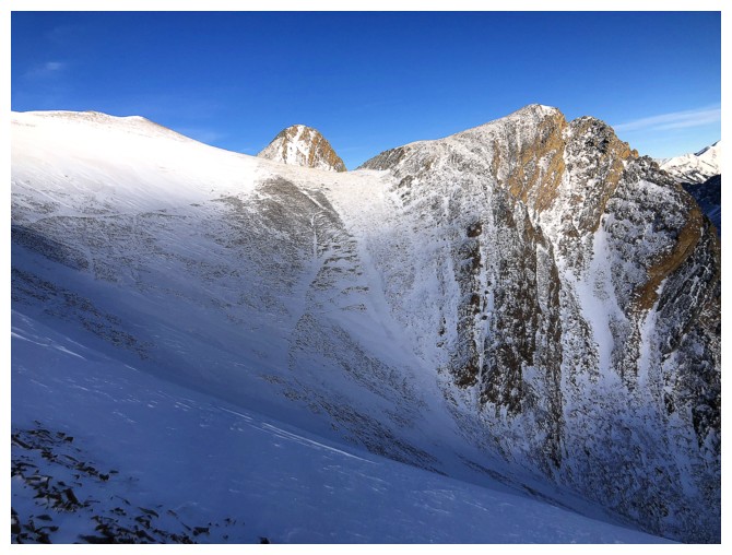
There is a route but noway with this much snow on it
Returning to the ridge
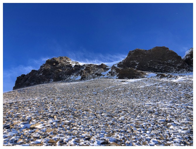
Snow blowing off the ridge
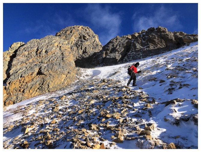
Retreat
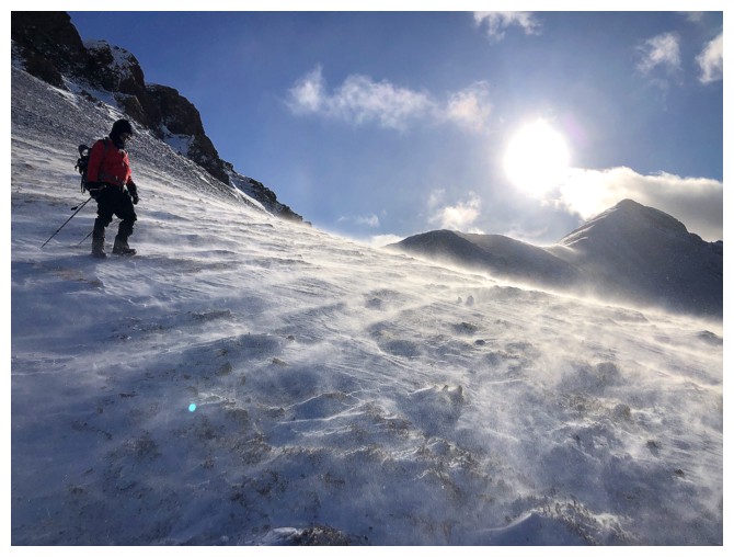
Blowing snow where we stand!
The route on the west side is obvious but not without crampons and an
ice axes. We were bundled up and warm, but the thought of stopping to
put crampons on was as appealing as sugar-free ice cream!
The consolation was running up that rock outcrop. Mark is down there at the col.
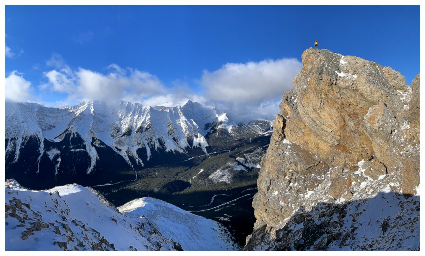
Mark's view of me atop the rock. If the wind was blowing from the east, I would not be so close to the edge!
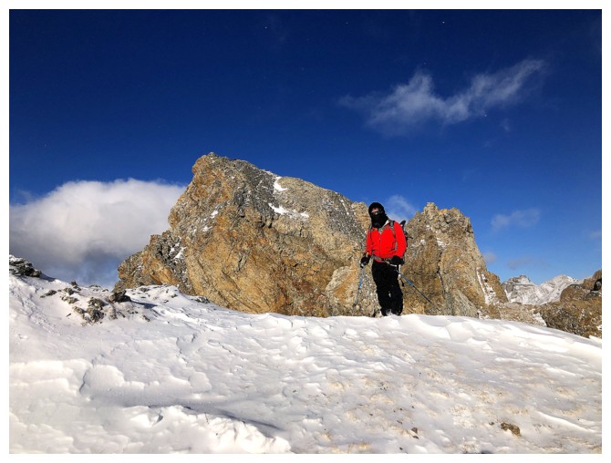
Mark and the outcrop
Same as above
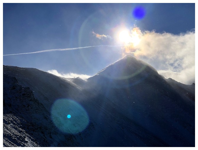
Phone camera doing weird things
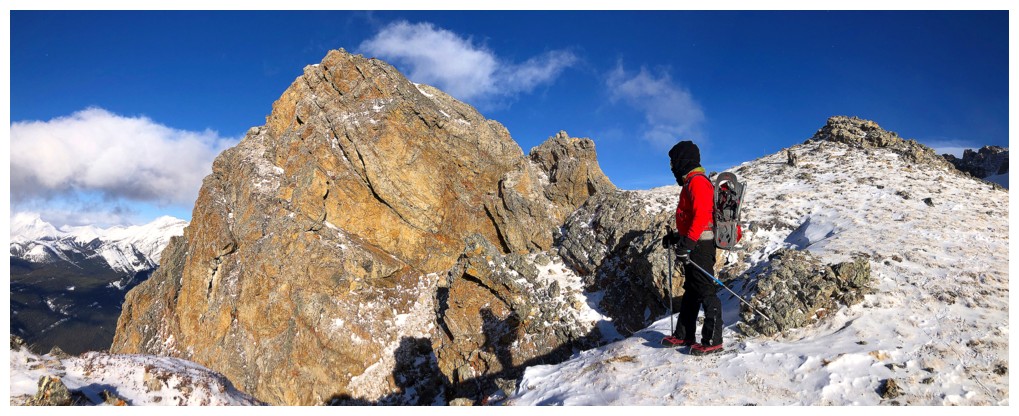
The outcrop at the left, Mark at the right
Found another little perch on descent
Now the Sun is lighting up that wonderful rock
Same as above
Back at the false summit
Clear over the Kidds now
The middle section of the peak is also home to some pretty cool rock too
Easy descent the rest of the way
Same as above
Opal Ridge South summit, from the parking area
The End
LOG