Owen
Pass Peak
August 5, 2026
Mountain height: 2850 m
Total elevation gain: 1600 m (1460
m from trailhead to summit)
Ascent time: 6:15
Exploration
time: 2:10
Descent time
from Owen Pass: 4:15
Scrambling with
Mark.
Inspired by a
trip Doug Lutz and Ephraim Roberts to the stunning
Michelle Lakes area (and then subsequently Vern Dewit), I immediately put a visit to the area on my to-do list. The trio had
ascended Michelle Lakes Peak and Kink Peak – a Herculean effort requiring 40
kilometres of hiking with over 2800 metres of elevation gain. 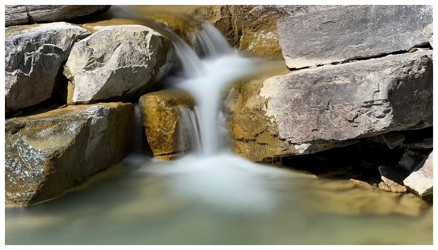 Lacking the
physical stamina and intestinal fortitude for such a grandiose undertaking,
Mark and I set our sights on an unnamed peak immediately east of Owen Pass. It
appeared the summit would offer an excellent view of the lakes.
Lacking the
physical stamina and intestinal fortitude for such a grandiose undertaking,
Mark and I set our sights on an unnamed peak immediately east of Owen Pass. It
appeared the summit would offer an excellent view of the lakes.
We left the
parking lot at 9 am, ready to do battle with the infamous Owen Creek Trail.
Although the trail is part of the immense GDT (Great Divide Trail), it may
represent one of the more challenging sections. 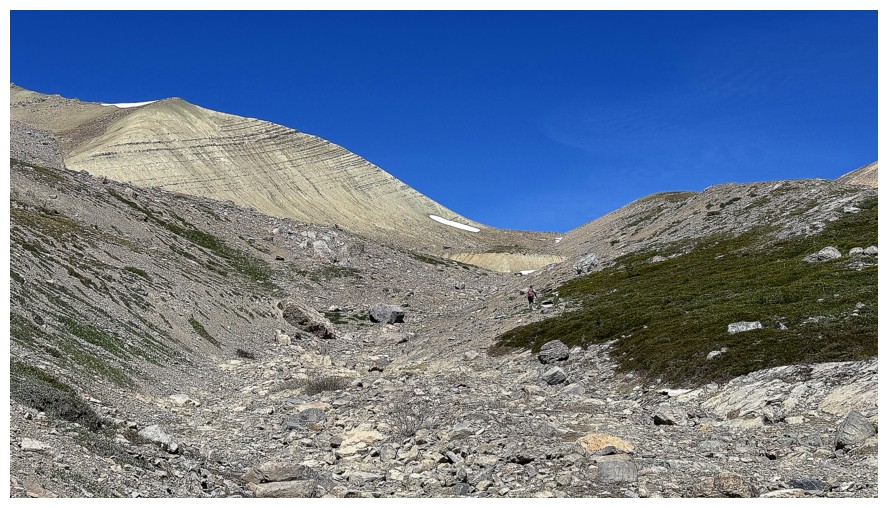 Luckily Doug and Vern’s reports
had prepared us for the sometimes precarious travel on downsloping hard dirt,
climbing over and under deadfall, tedious boulder-hopping, and general
unpleasantries. As such, overall, we didn’t find the trail to be too bad.
However, the 11.4 km trek to Owen Pass, with 1100 metres of elevation gain is
hardly a cakewalk – it took us 5 hours to reach the pass.
Luckily Doug and Vern’s reports
had prepared us for the sometimes precarious travel on downsloping hard dirt,
climbing over and under deadfall, tedious boulder-hopping, and general
unpleasantries. As such, overall, we didn’t find the trail to be too bad.
However, the 11.4 km trek to Owen Pass, with 1100 metres of elevation gain is
hardly a cakewalk – it took us 5 hours to reach the pass.
Disappointingly,
the lakes were not visible from the pass, the northwest ridge of our objective
blocking the view. We therefore took an ascending line towards that ridge,
instead of a direct route up the west slopes to the summit. The route paid off.
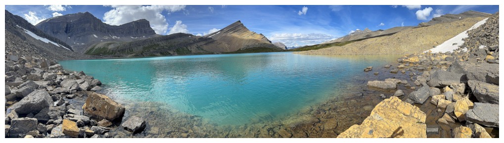
Suddenly, there they were – two gorgeous lakes, each boasting a vibrant shade
of turquoise/green, on par with the hues of Moraine and Peyto lakes. The
remainder of the ascent of Owen Pass Peak (an unofficial, unoriginal, and
boring moniker!) was incredibly rewarding, with great views not only of the
lakes, but of a host of beautiful peaks in the immediate area. And the summit
view was even more spectacular, now featuring several distant 11,000ers, and other
beautiful mountains, like Murchison, Chephren, and Wilson.
Although we
toyed with the idea of descending the mountain’s south ridge and then making
our way back to the Owen Creek Trail (the quickest way down), the lure of the lakes was too great.
Instead, we descended the northwest ridge and then made our way down to the
shores of the Upper Michelle Lake. 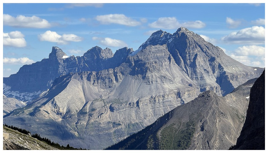 On the premise that the day would be an
isolated visit to this remarkable area of the Rockies, checking out the lake
close-up seemed like a good idea, even if it meant extending the day to a round-trip
time and physical effort that our bodies would completely revolt against!
On the premise that the day would be an
isolated visit to this remarkable area of the Rockies, checking out the lake
close-up seemed like a good idea, even if it meant extending the day to a round-trip
time and physical effort that our bodies would completely revolt against!
The extension
to the lakeshore didn’t not disappoint in any way. A quick side-trip over to a
group of small tarns, each sporting a different colour, was the icing on the
cake. With more hours in the day (and perhaps an oxygen tank on my back) I
would have loved to circumvent both lakes, but to avoid a headlamp descent we
needed to start making our way back.
A good
decision. The descent back up to Owen Pass was straightforward and we felt as
though we were making good time of the entirely downhill descent. However,
because of those aforementioned unpleasantries, it still took us over 4 hours
to get from the pass to the trailhead. This is not a trail that lends itself to
“zombie-like cruise-control”.
Overall, a
totally excellent day! The Michelle Lakes were even more stunning than expected
and Owen Pass Peak provided a wicked viewpoint from which to see them.
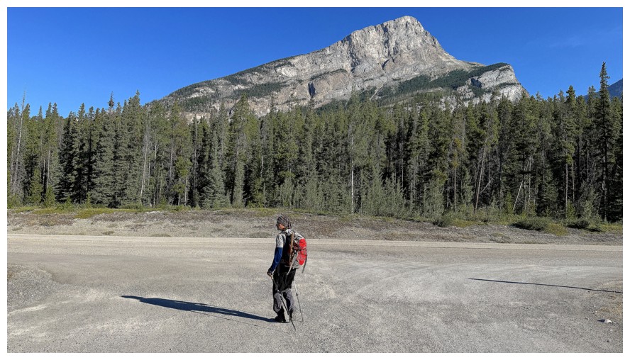
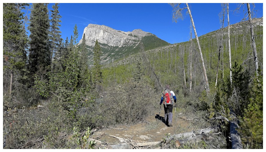
Leaving the Owen Creek parking lot. The shapely peak is called Gates Of The David Thompson.
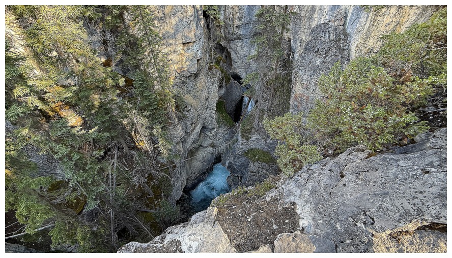
Looking down into the incredible slot canyon near the beginning. Any slip into the canyon would be horribly fatal!
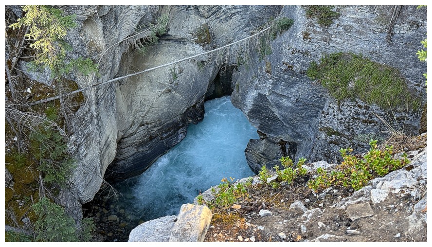
Close-up
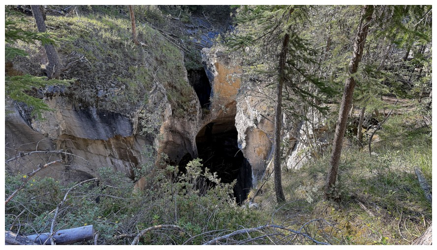
Another ominous look down into the abyss
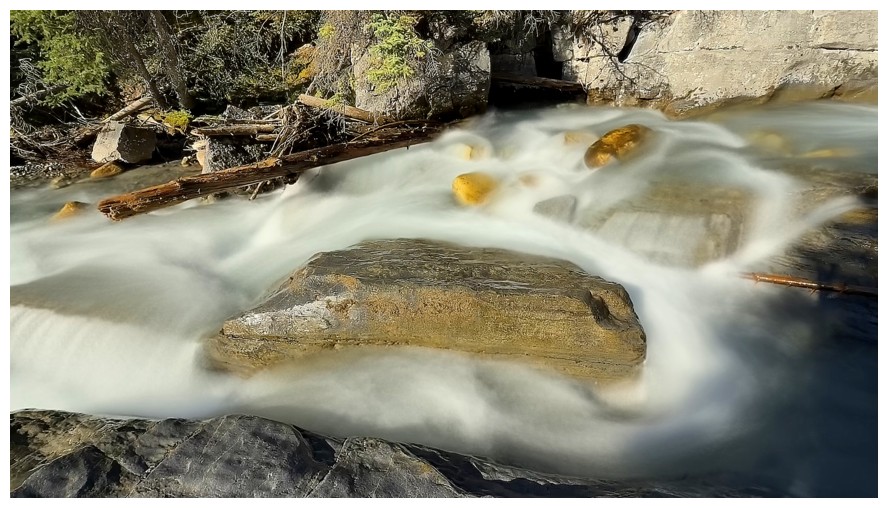
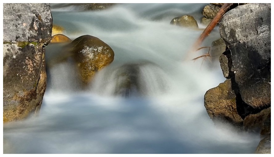
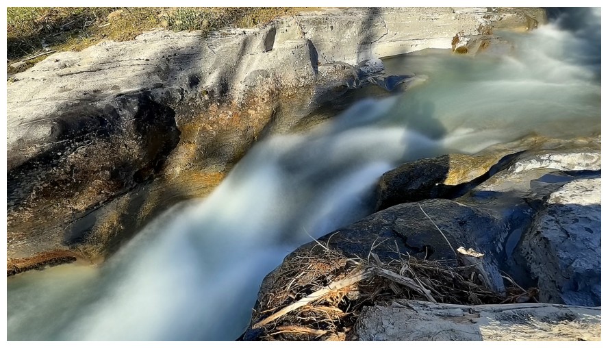
Lots of opportunities to get long exposure photos, as the trail often stays close to Owen Creek
An eastern outlier of Mount Wilson
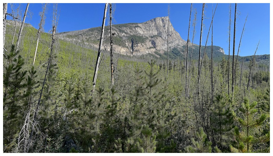
Gates Of The David Thompson again
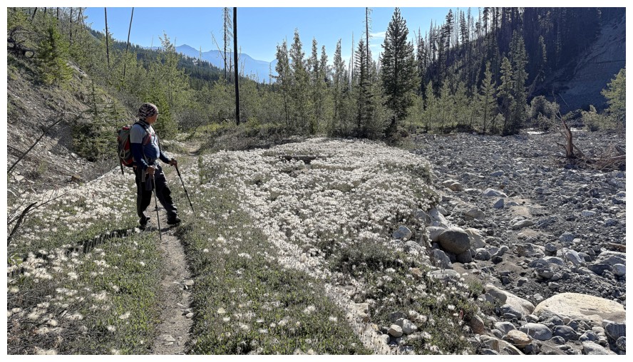
White flowers alongside the trail
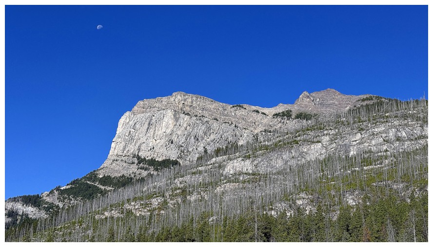
The moon above that outlier
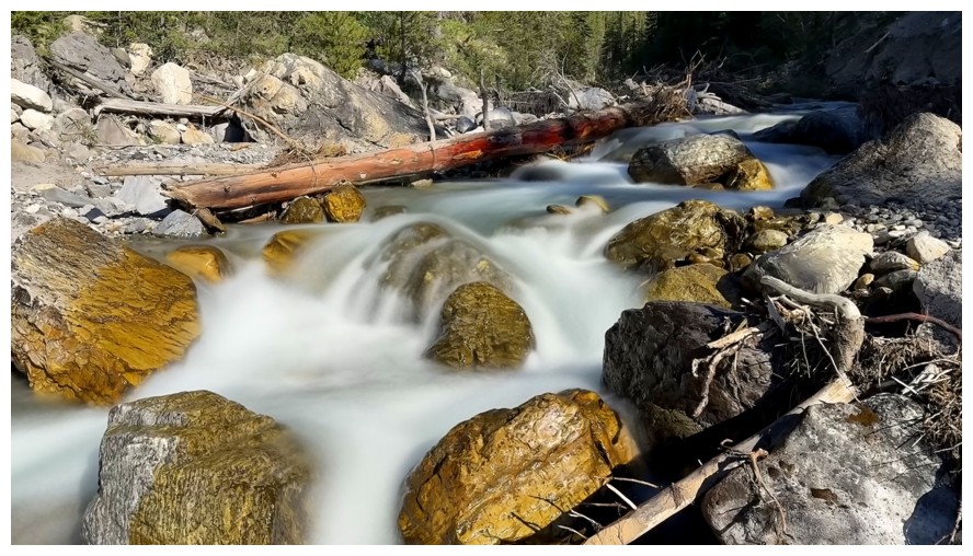
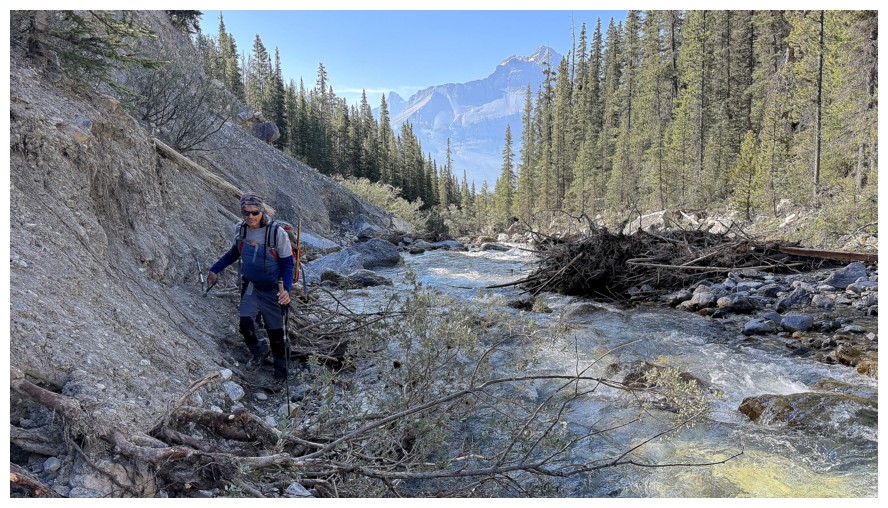
Typical travel alongside the creek - not difficult but trail-runners need not apply!
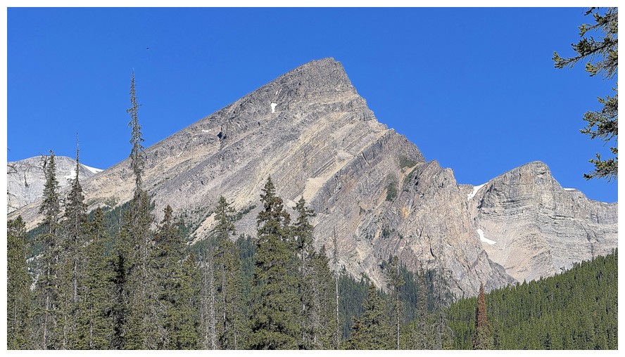
Another prominent outlier
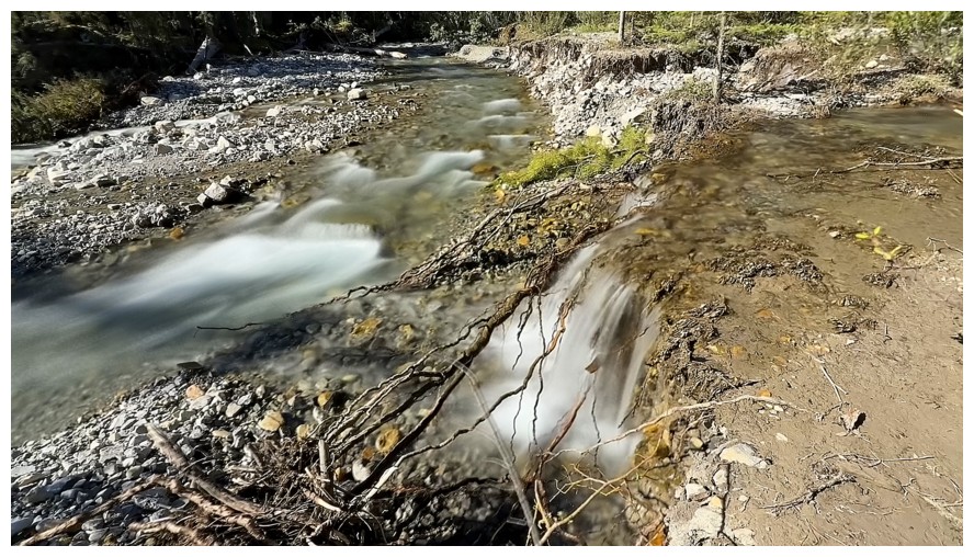
Where two waterways meet
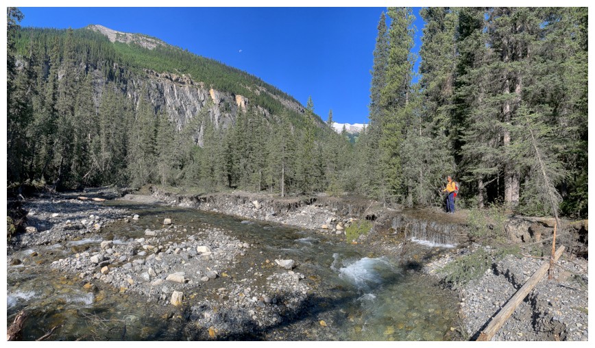
Mark's view
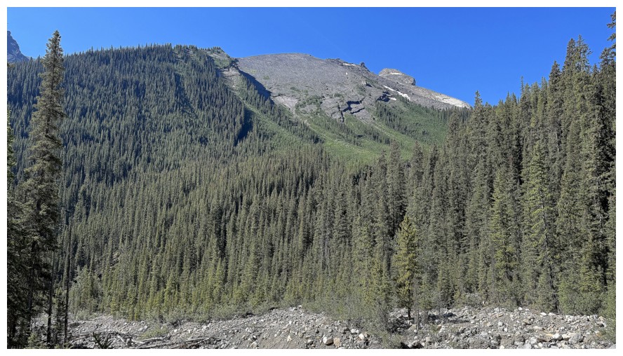
More intriguing terrain on the left side of the creek
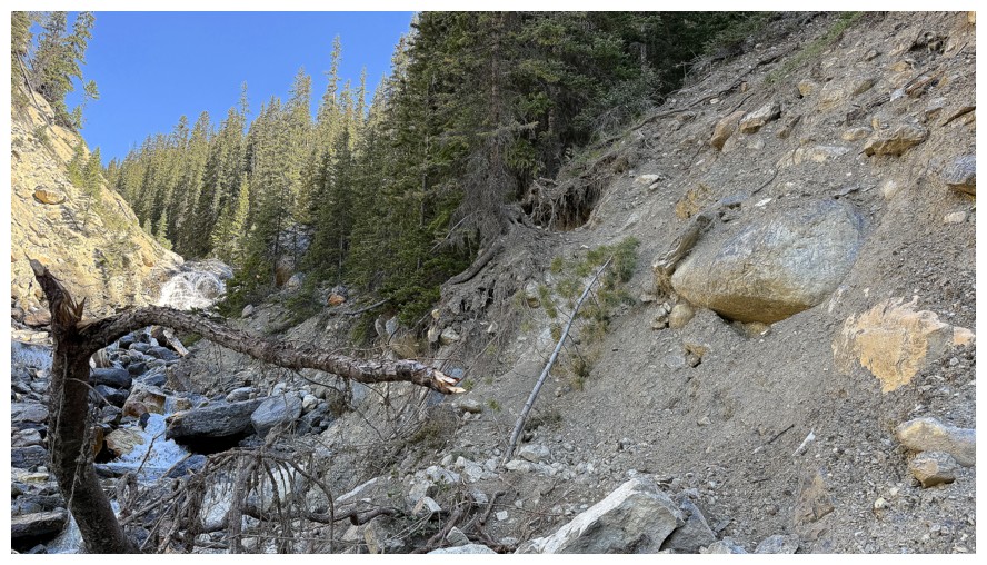
Probably the crux of the trail. There's a thin rope hanging down to
assist the ascent. However, on descent we found a slightly easier route
a few metres upstream.
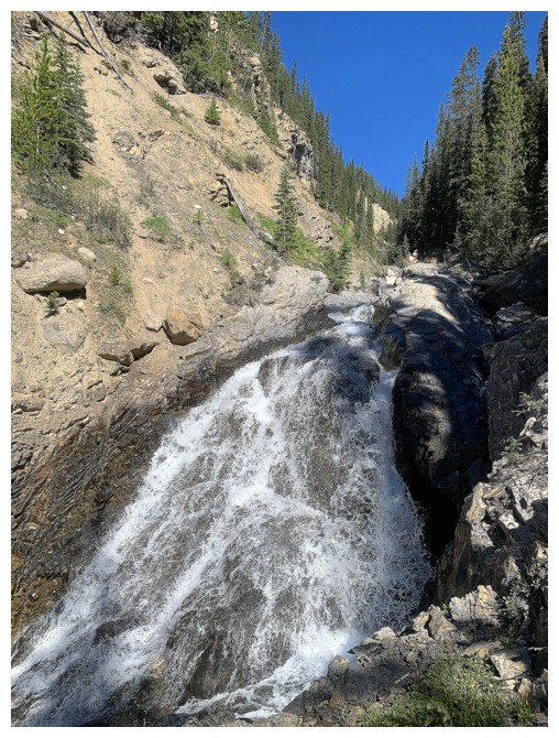
Good place to take a food break...
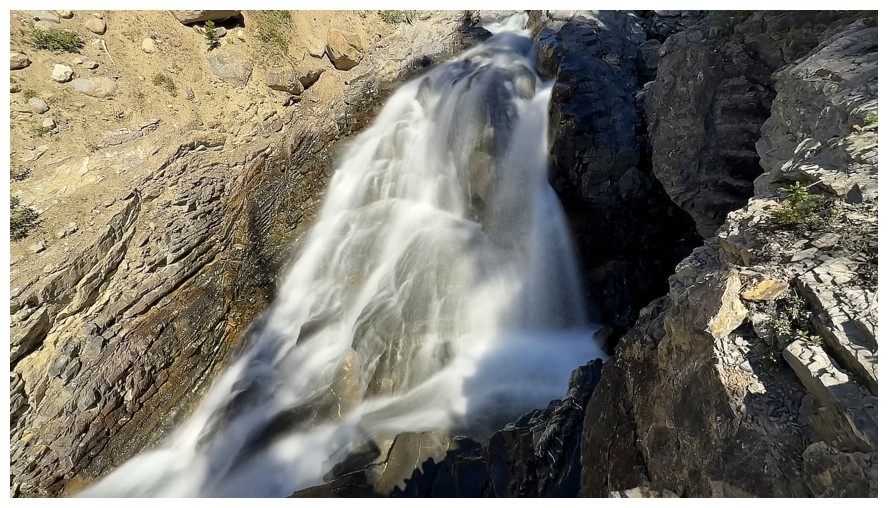
...and get another long exposure photo
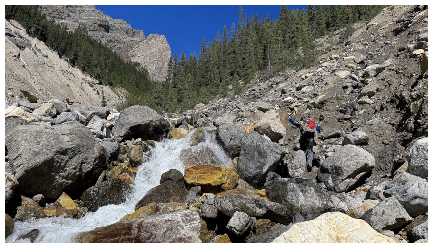
Continuing up
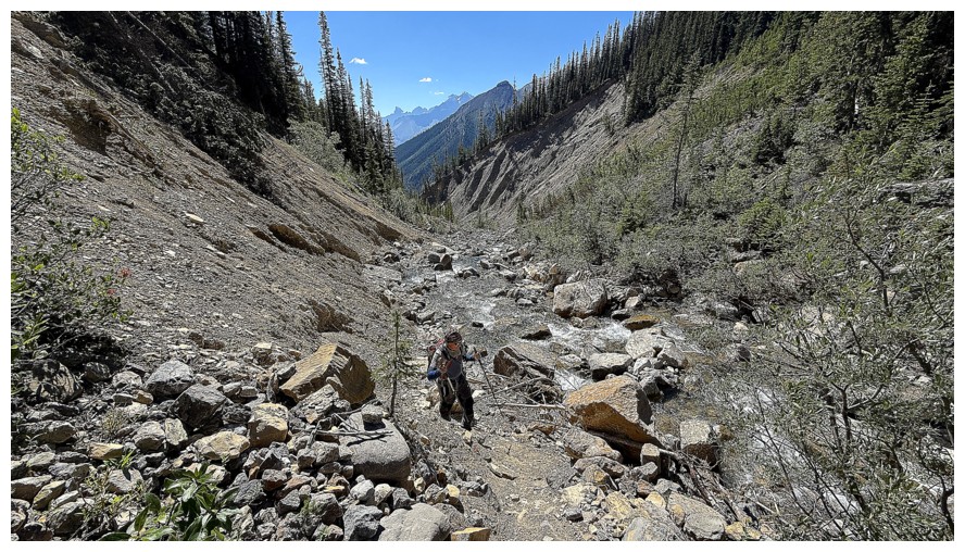
And up
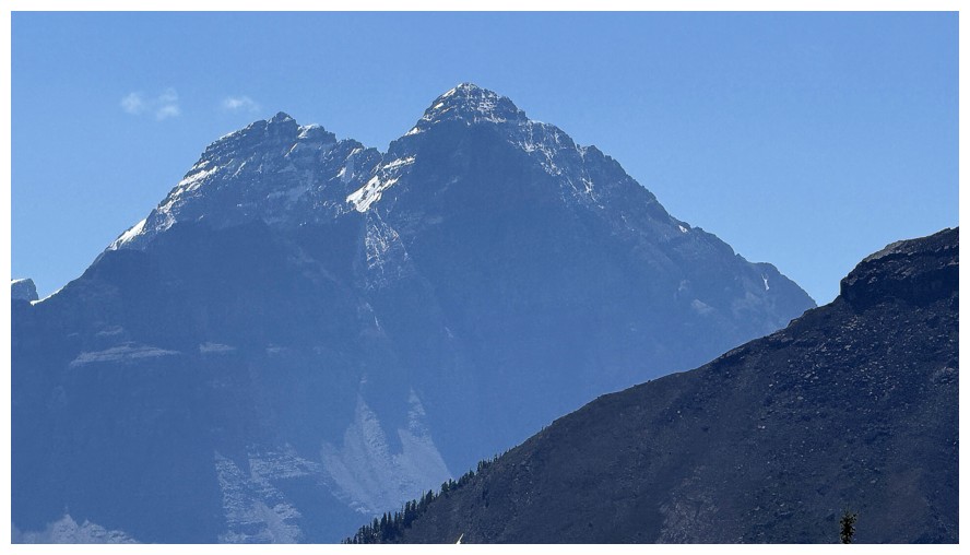
The two main summits of Mount Murchison. The southeast summit (left) is the highest.
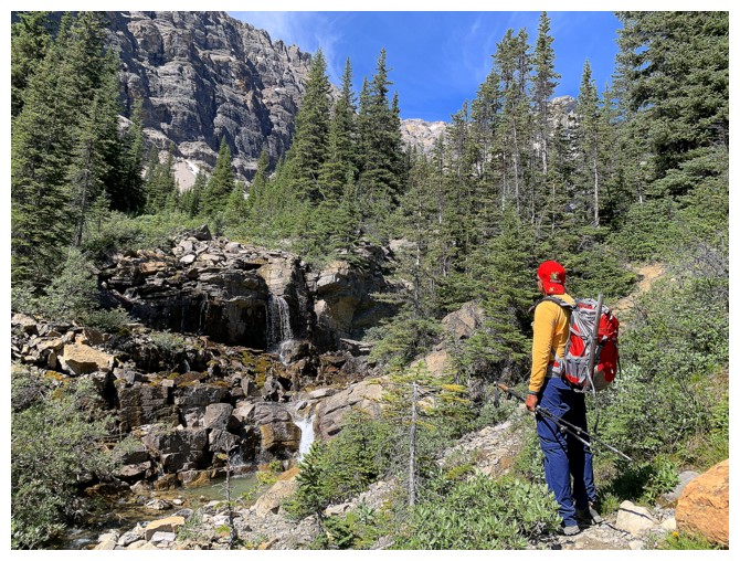
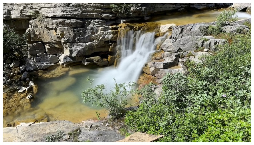
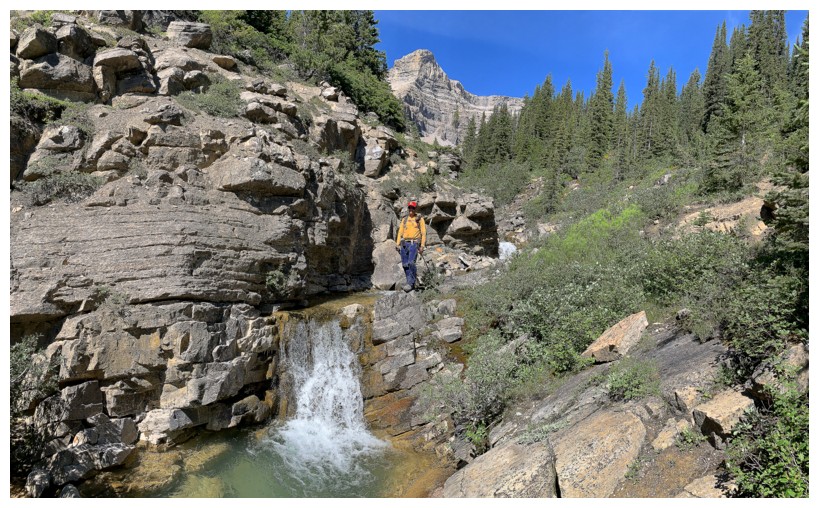
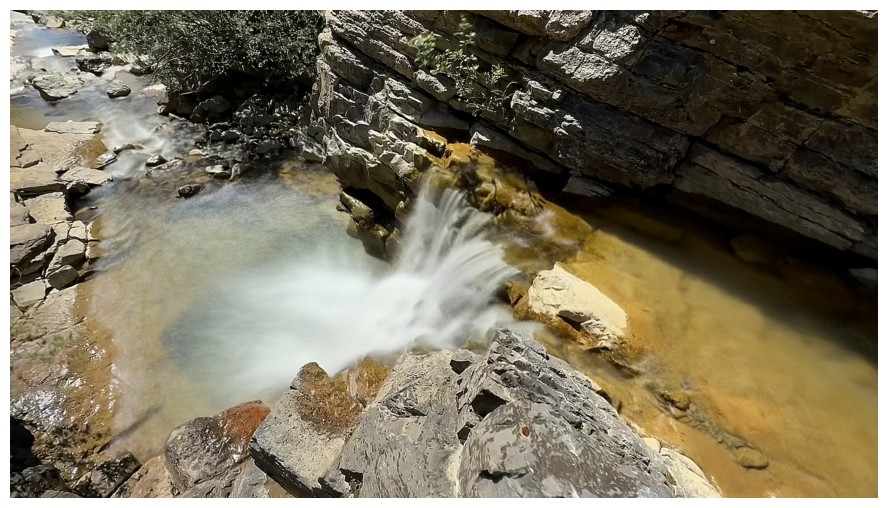
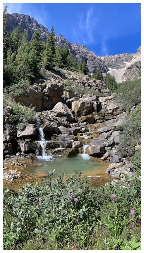
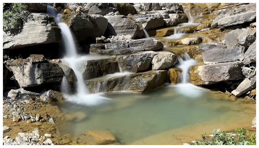
Arriving at another picturesque water scene
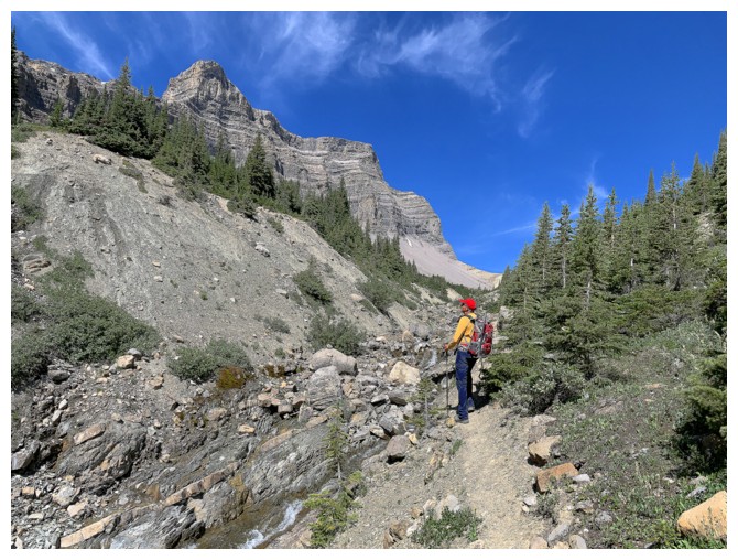
A striking outlier that is part of the Kink Peak massif
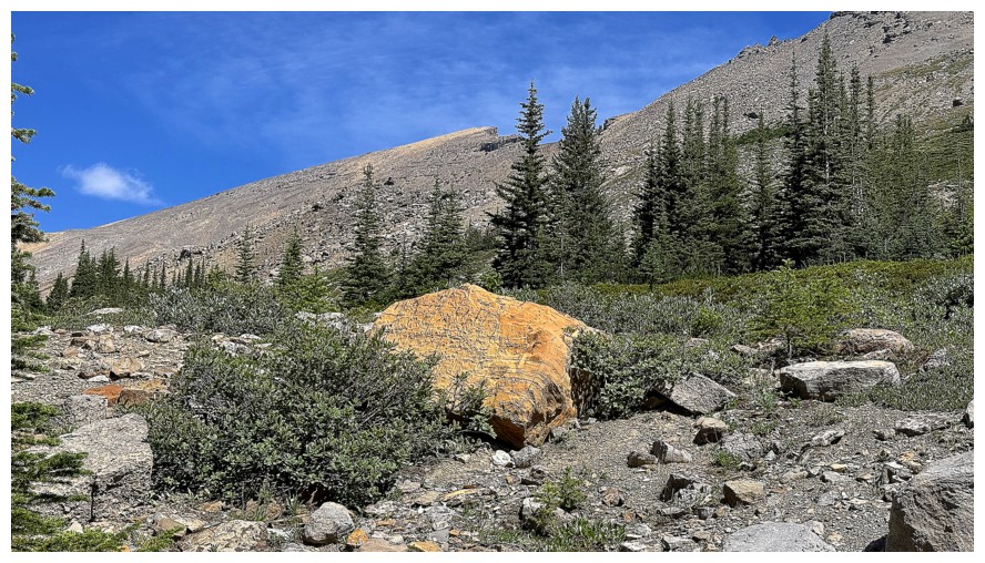
A striking rock and our first view of the objective in the centre
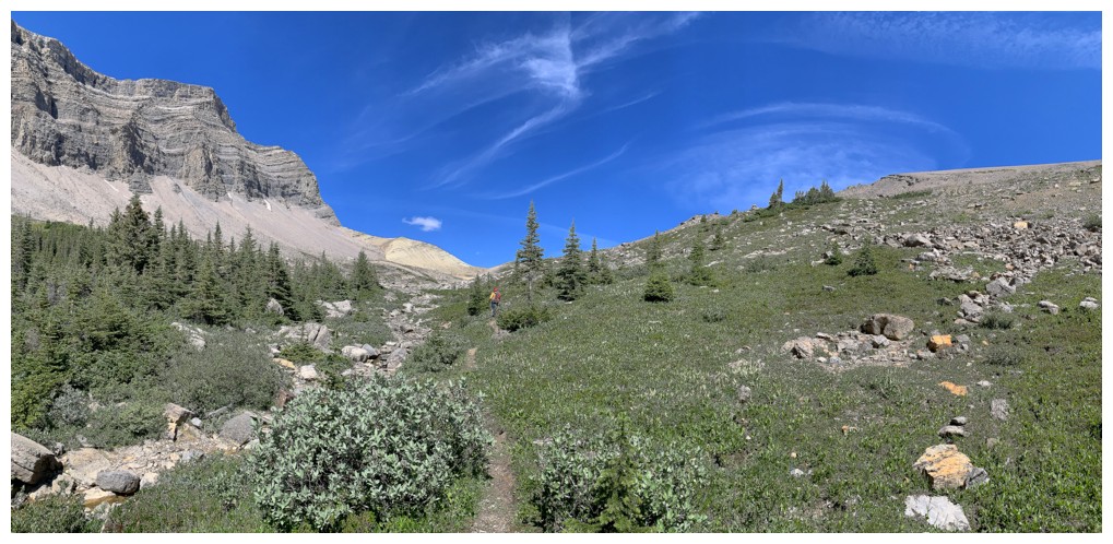
The scenery starts to open up
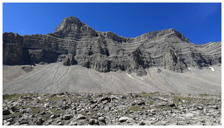
That outlier from a different angle. It's higher than Kink and would also likely offer a fantastic view of the Michelle Lakes.
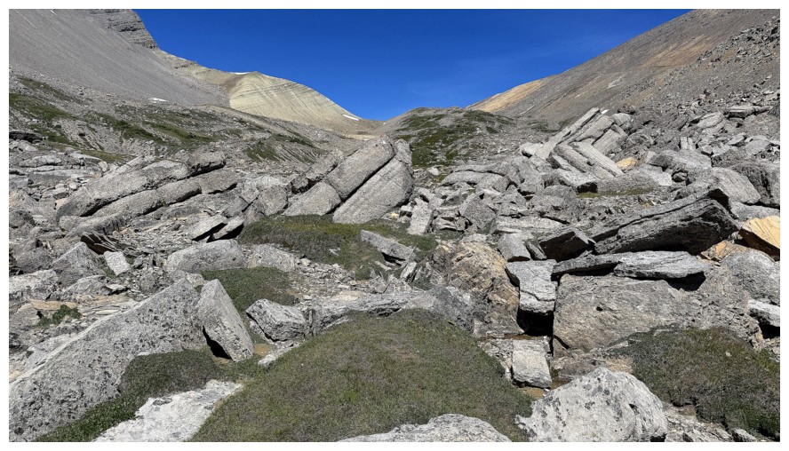
Grassy terrain gives way to rocky terrain
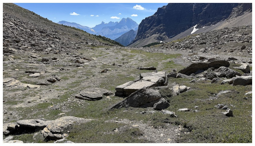
Looking back at Murchison again
Owen Pass is still quite a ways off
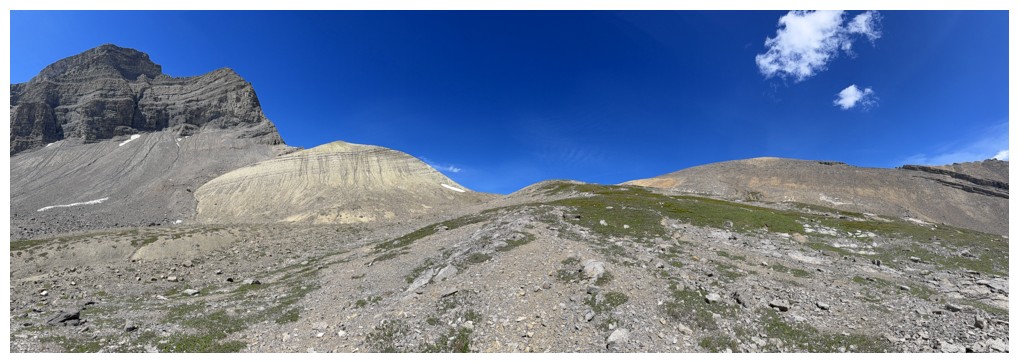
Pano of the area, with our objective near the right
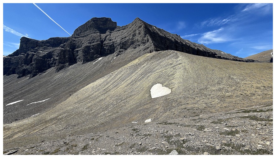
A snow heart
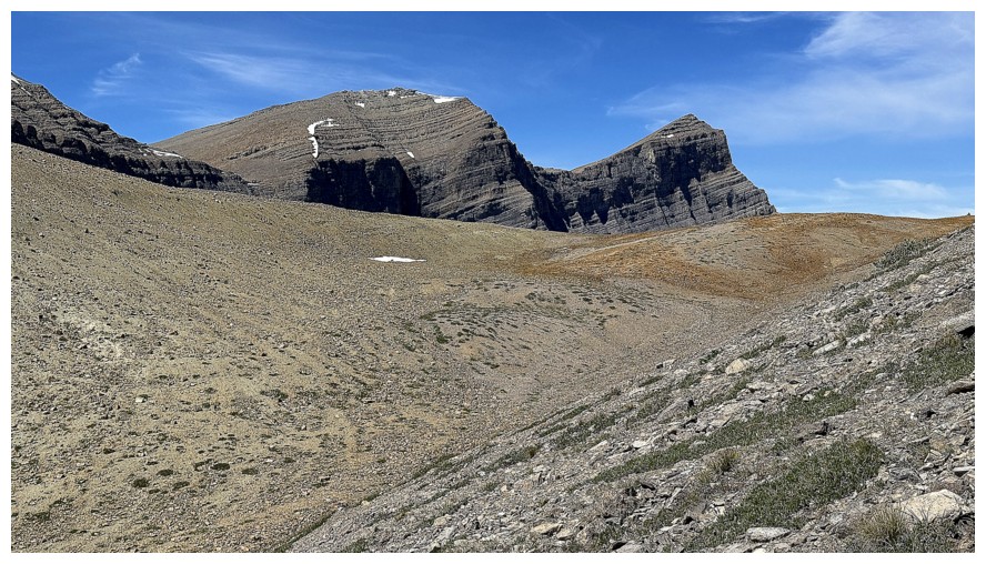
Kink Peak
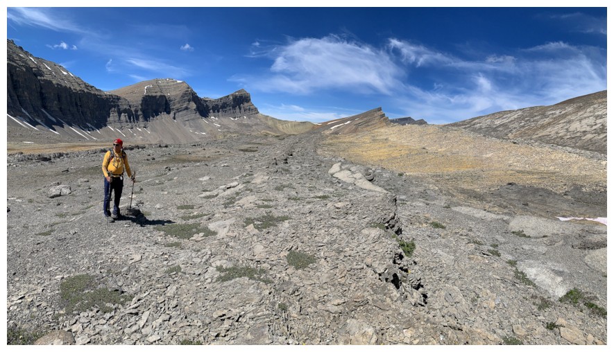
Big terrain up here
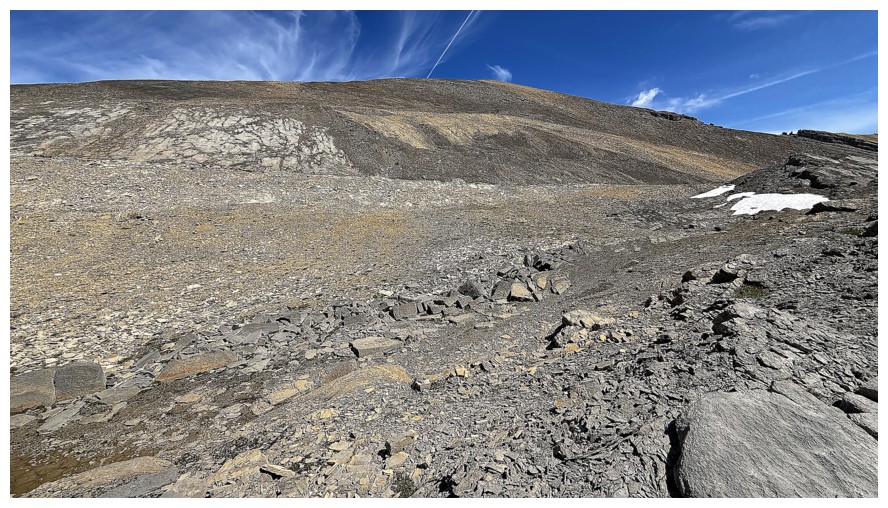
The direct route up Owen Peak
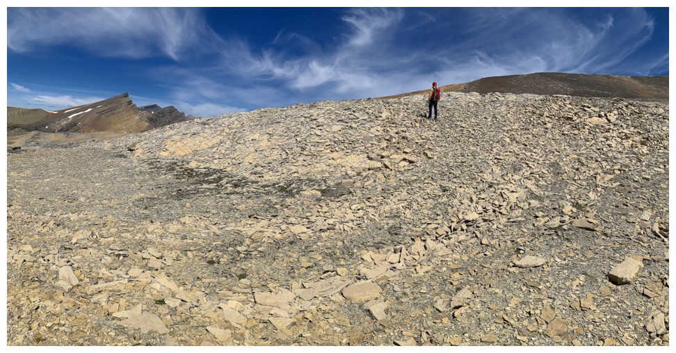
Hoping to see the Michelle Lakes on the other side of this ridge, but we were denied
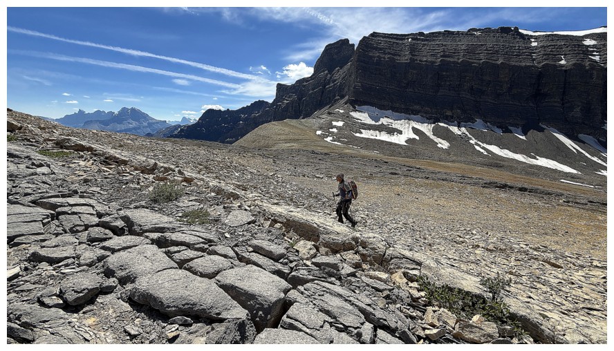
Easy slogging to the Owen's northwest ridge
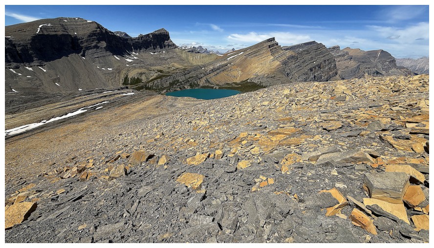
First glimpse of the Upper Michelle Lake
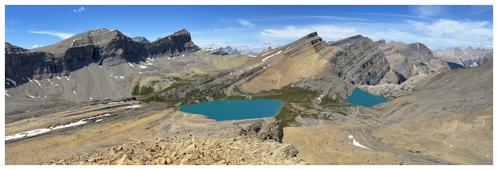
Both of them
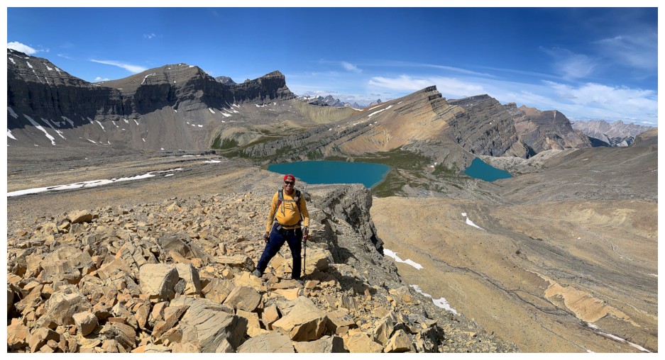
And one happy customer
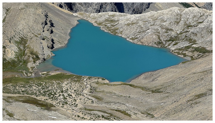
The Lower Michelle Lake. Perception is a funny thing - the lower lake
is actually quite elongated, having a far greater length (top to
bottom) than width (left to right); however from this angle it appears
to be as wide as it is long.
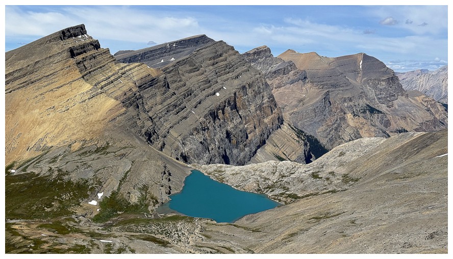
Michelle Lakes Peak at the far left and several outliers of Minster
Mountain. The actual location of Minster's summit is a topic of debate.
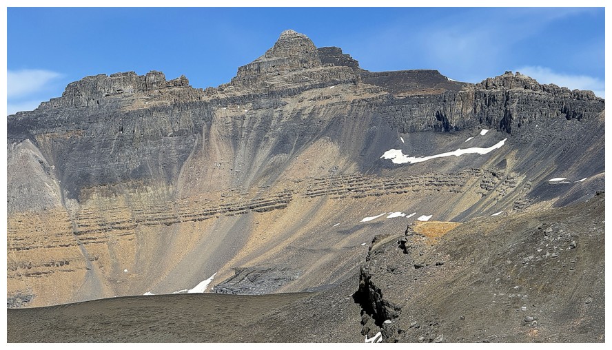
The west side of the Whitegoat Peaks
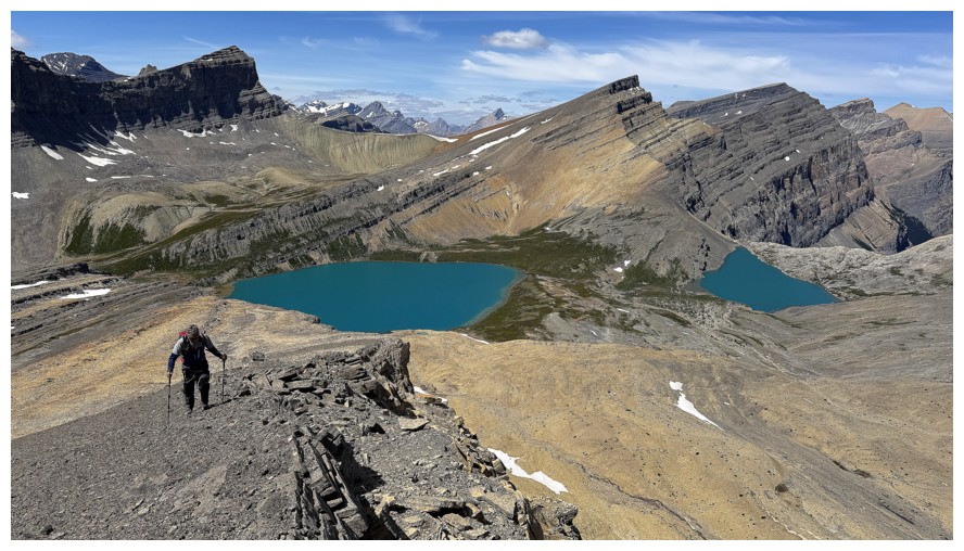
The northwest ridge of Owen Pass Peak (OPP) is super easy and has super views
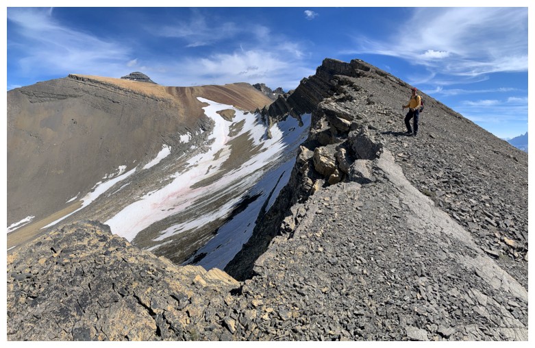
The last vestiges of a glacier that resides on the peak's north side
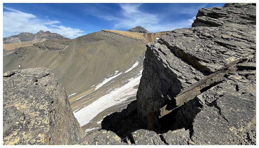
The drop down the north side is significant
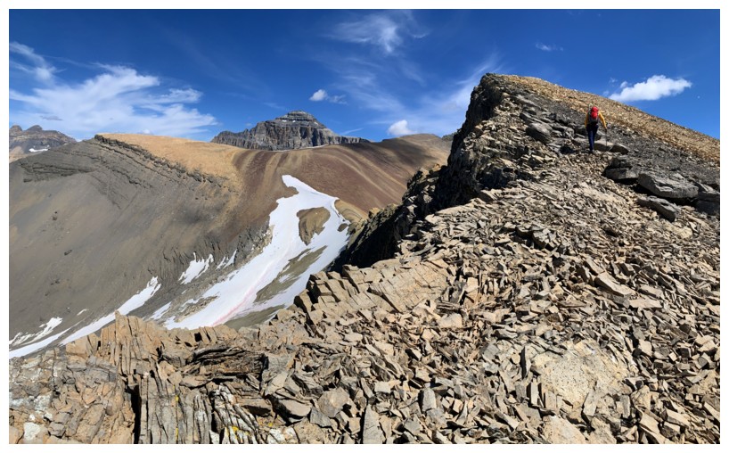
Mount Cline in the distant centre
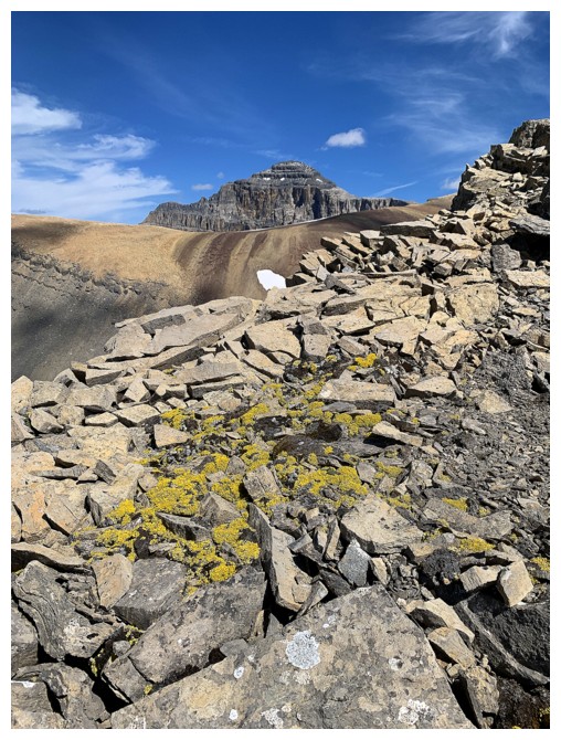
Same as above, with some yellow moss
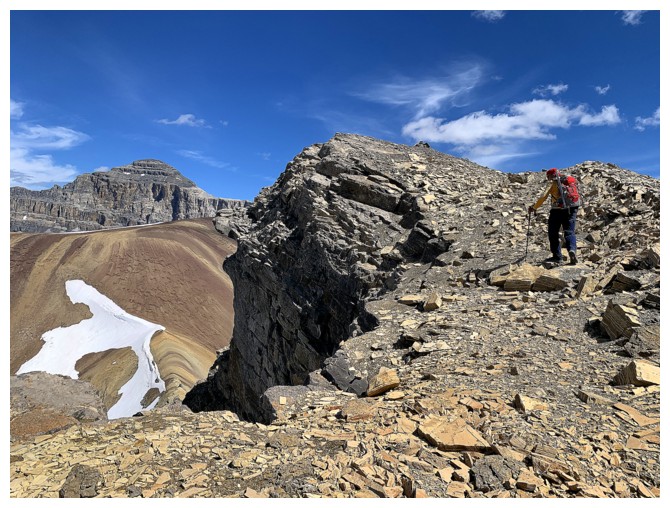
Minutes away from the top
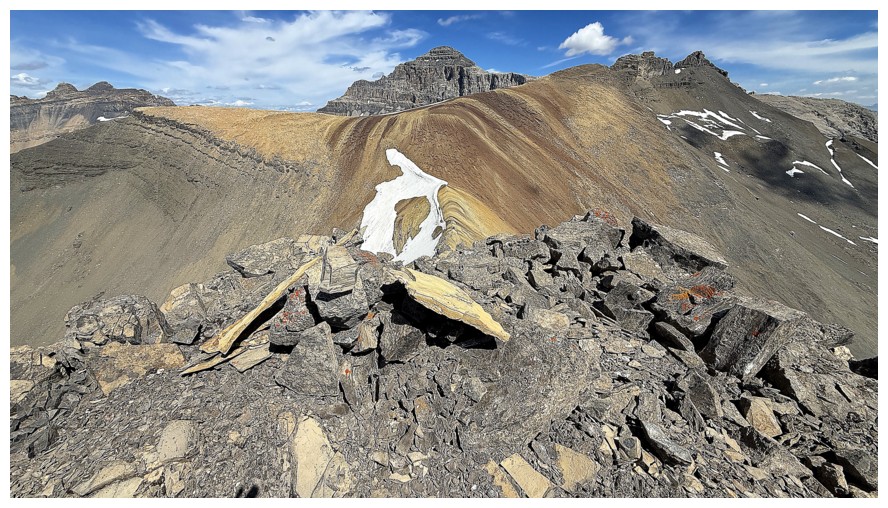
Success!
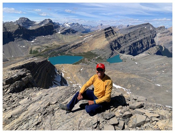
Even happier
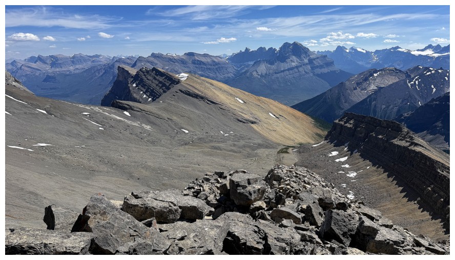
View to the south
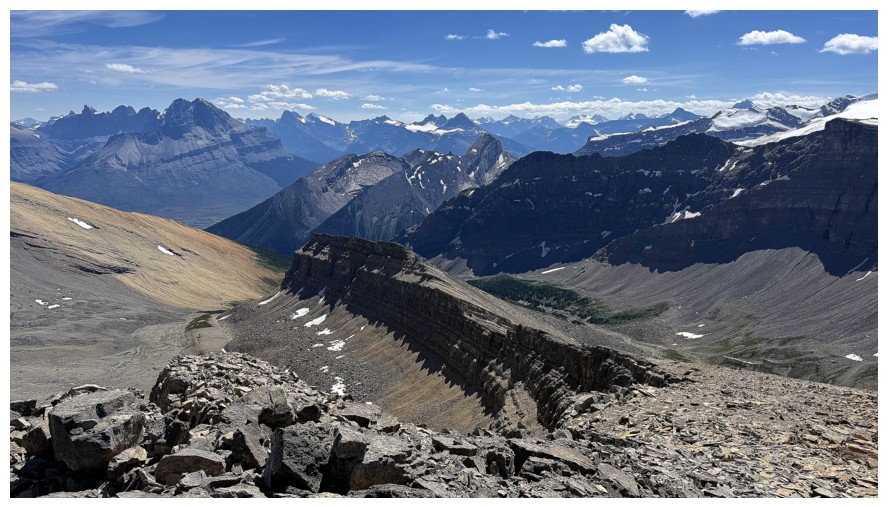
The south ridge of OPP in the foreground
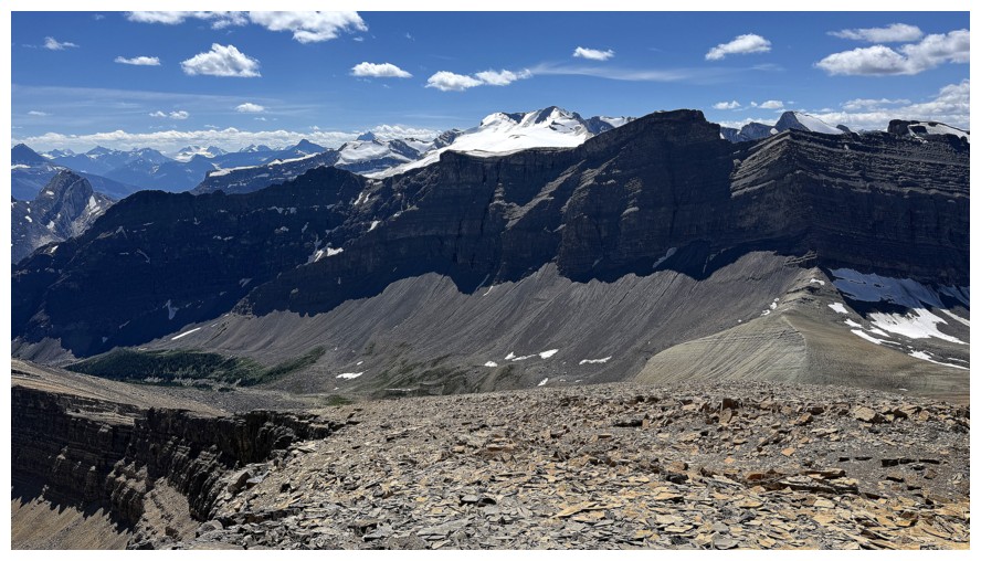
The view to the west is dominated by glaciated Mount Wilson
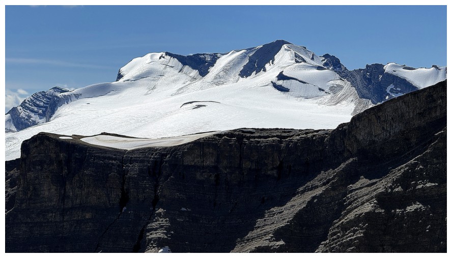
Mount Wilson
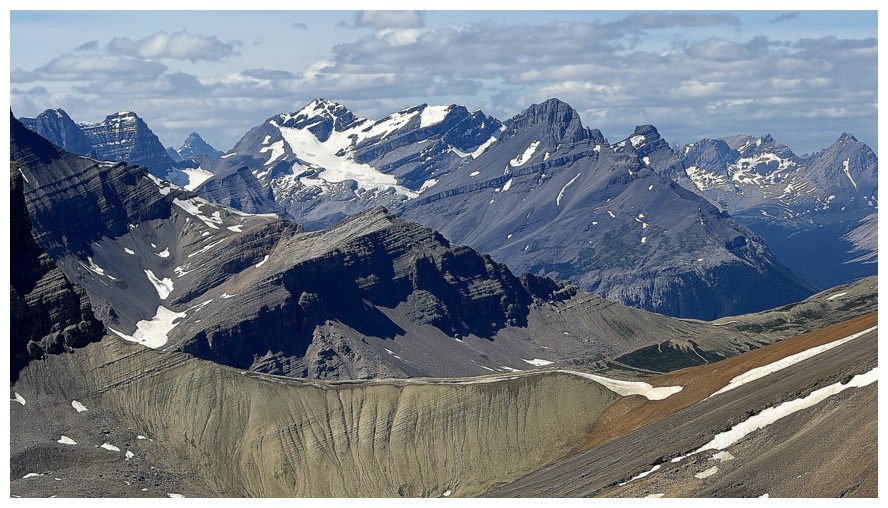
North-northwest
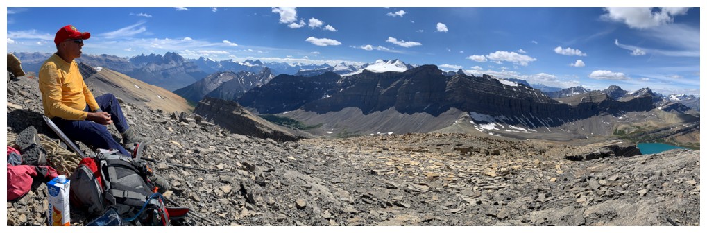
The first of many summit panos
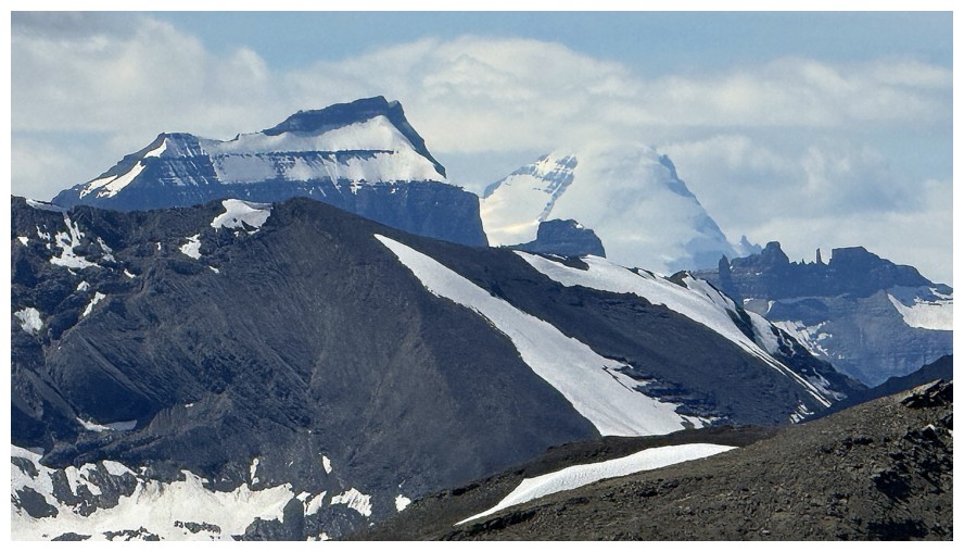
Mount Saskatchewan (left) and Mount Columbia
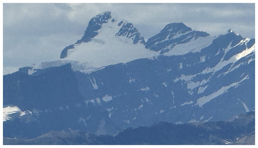
Not sure what these peaks are
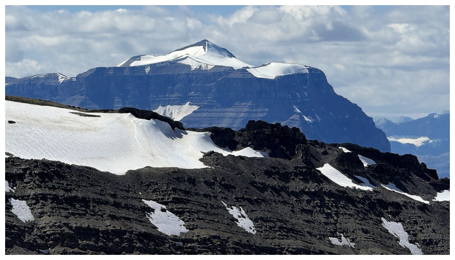
Mount Amery
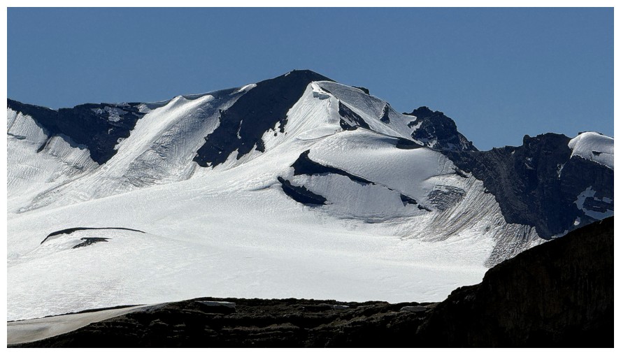
Close-up of Wilson's summit
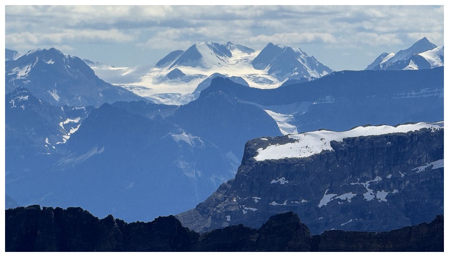
Not sure again
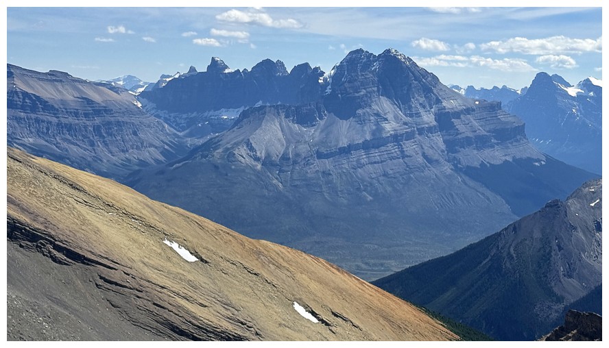
Murchison and many of its imposing towers
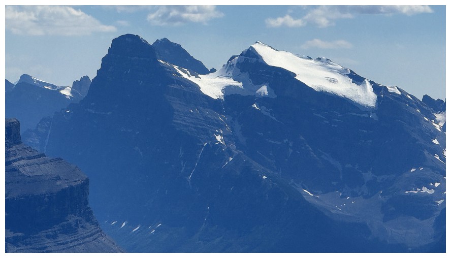
The stunning trio of Chephren, Howse, and White Pyramid
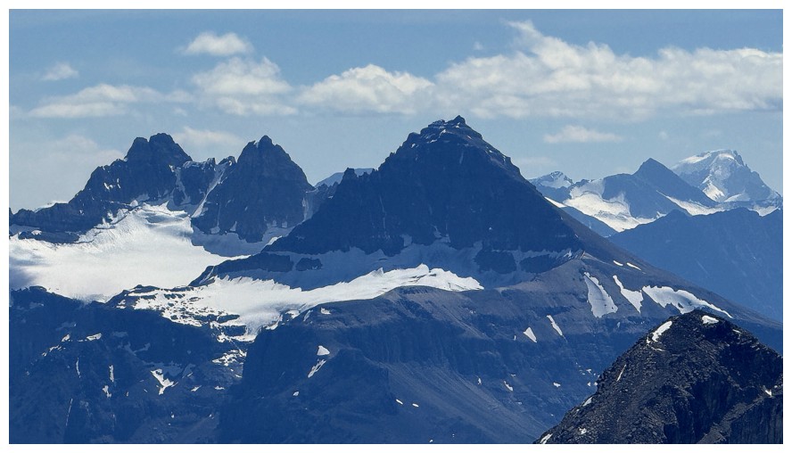
The two Kaufman Peaks at left and Mount Sarbach, just right of centre
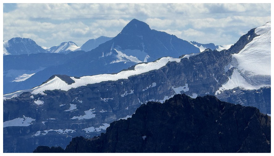
Mount Outram
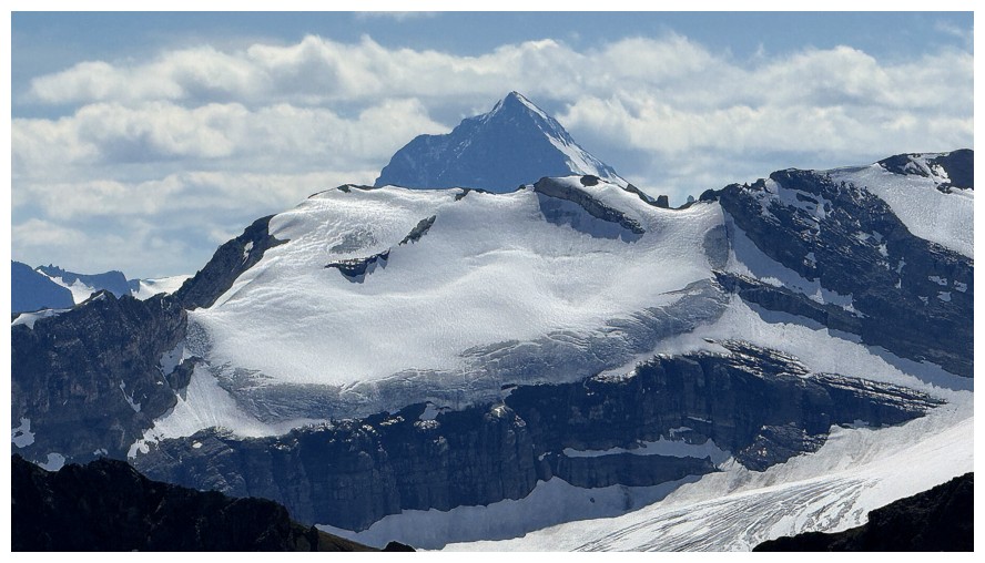
Mount Forbes
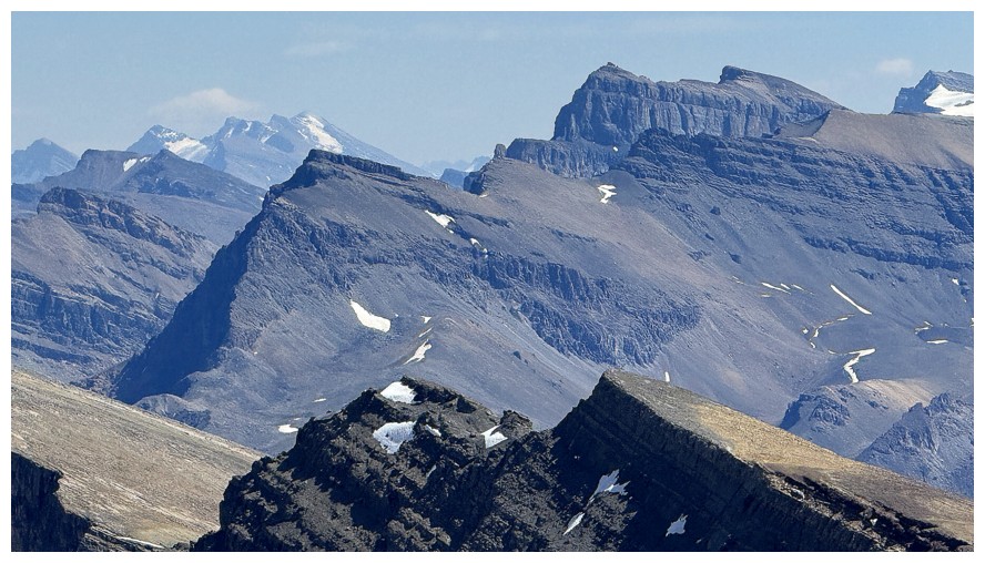
Cool ridges to the south. I think the peak just right of centre is Corona Ridge.
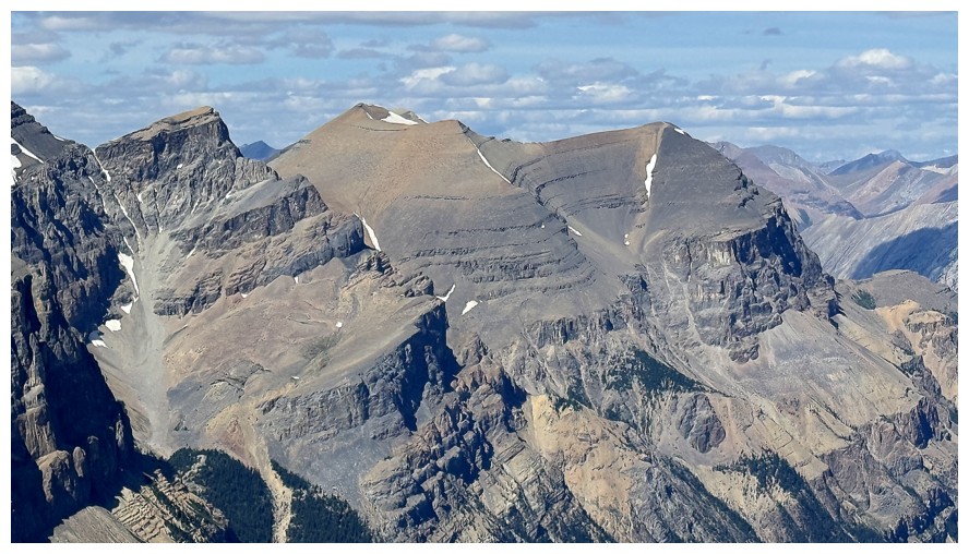
The Minster mystery
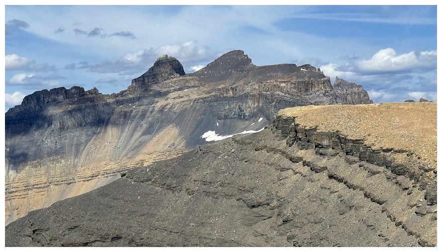
Two out of three of the Whitegoat Peaks. Dasent (left of centre) is the highest of the trio.
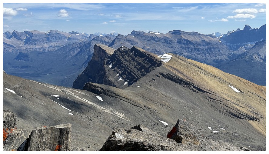
Gates Of The David Thompson is just left of centre in the foreground.
If you could get down to the col east of OPP, you might be able to
traverse to that summit.
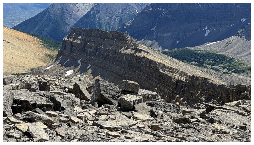
Close-up of OPP's south ridge
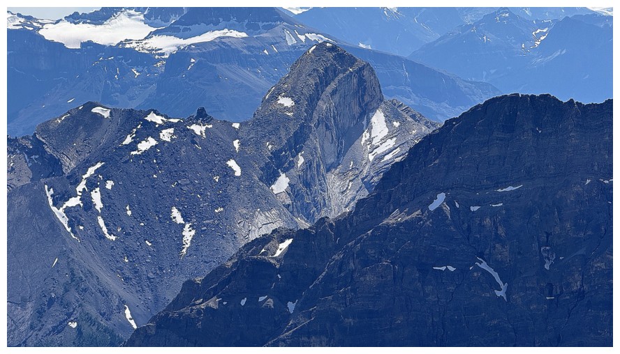
A striking feature that's part of Mount Wilson
The rest of the summit panos
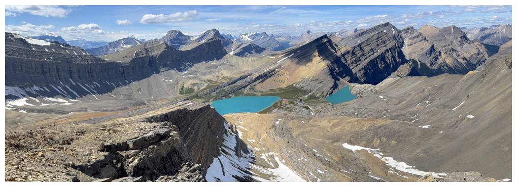
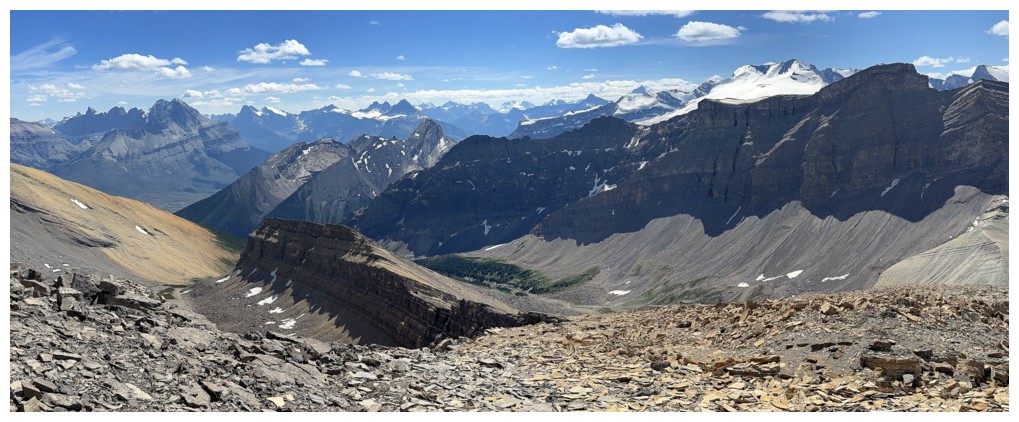
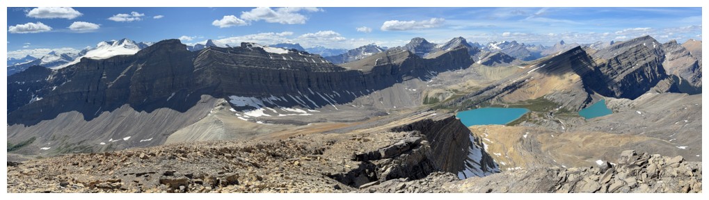
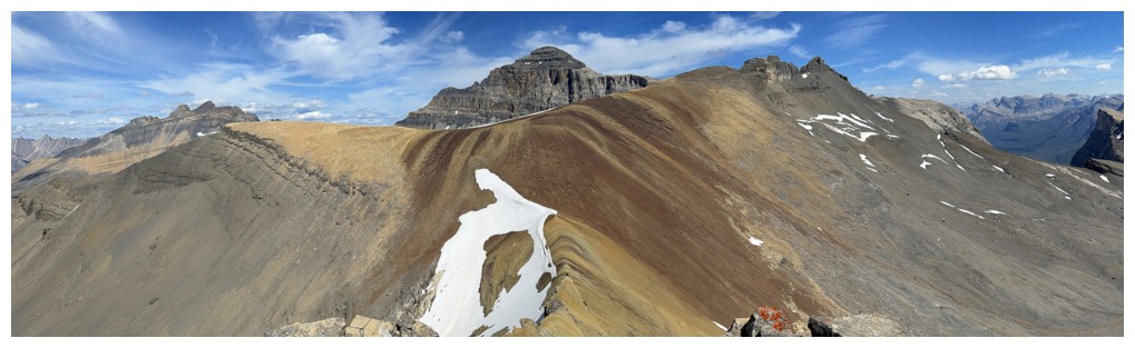
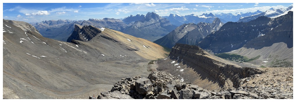
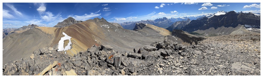
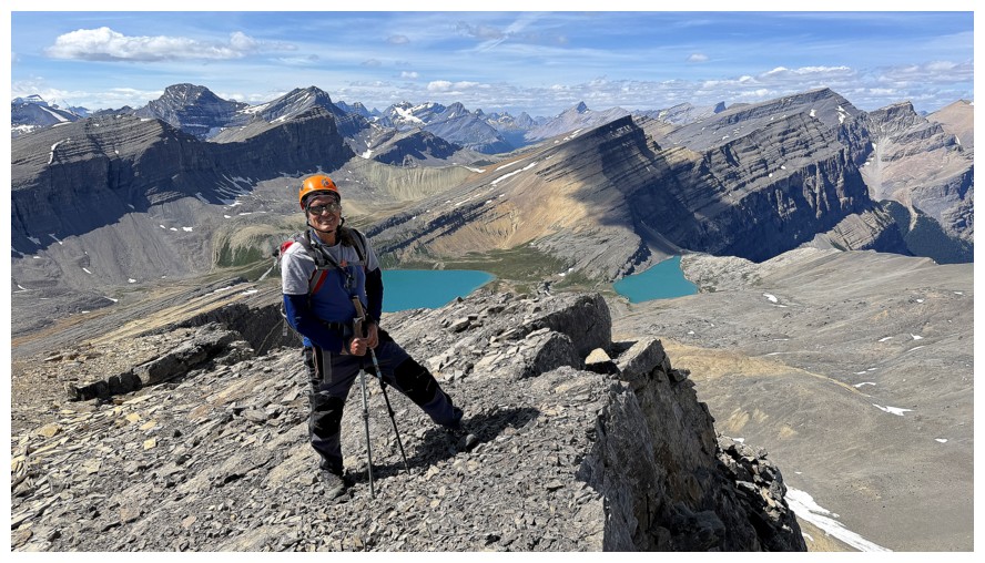
Last summit shots before descending the northwest ridge
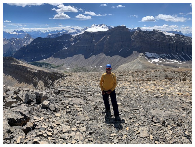
Same as above
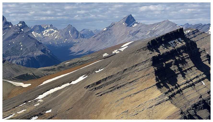
Lots of delicious unnamed stuff northwest of Michelle Lakes Peak (right)
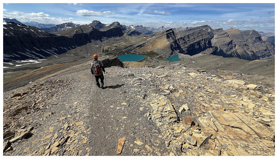
Descending
Last look at Cline - still my most disappointing summit to date
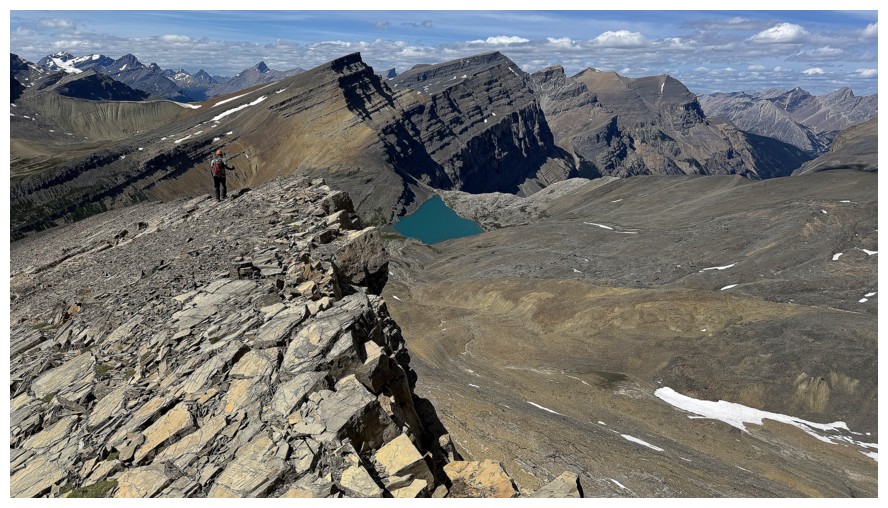
There will be many, many photos of the lakes from this point on
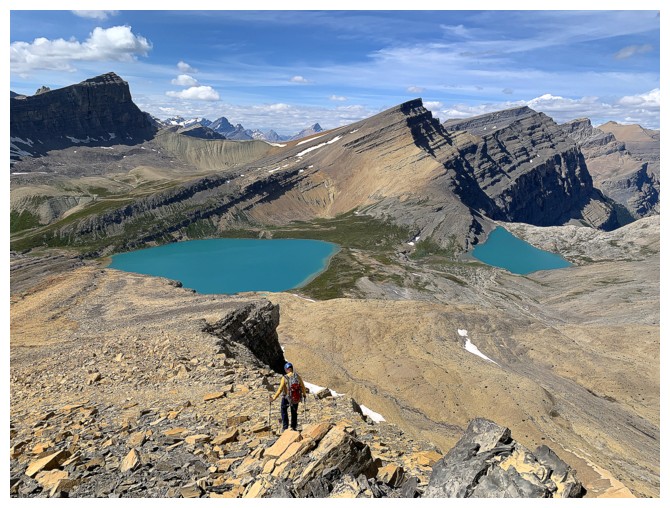
There's one
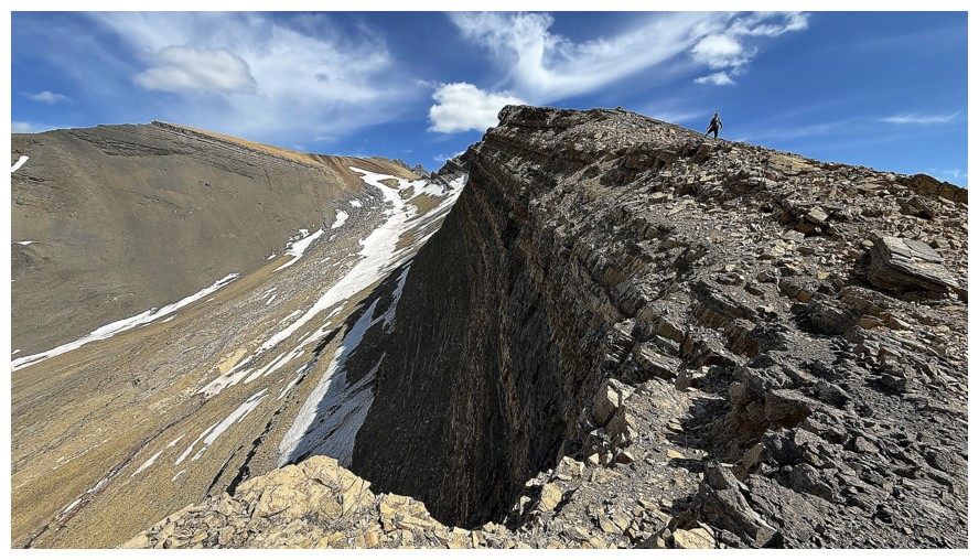
And a few of the precipitous north side of OPP
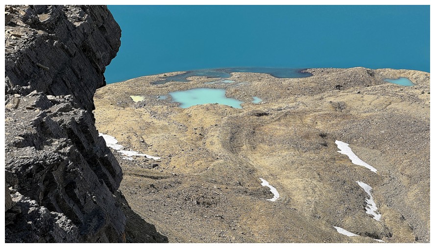
A few tarns on the south side of the Upper Lake
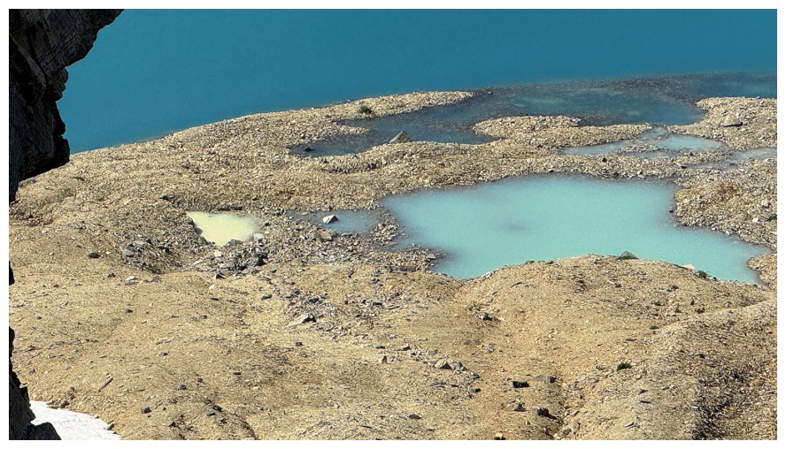
Close-up. The yellow-tinged one really stands out.
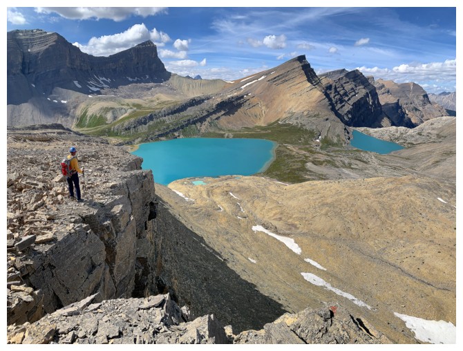
Glad there wasn't that southern Alberta gale force west wind at this point
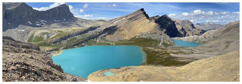
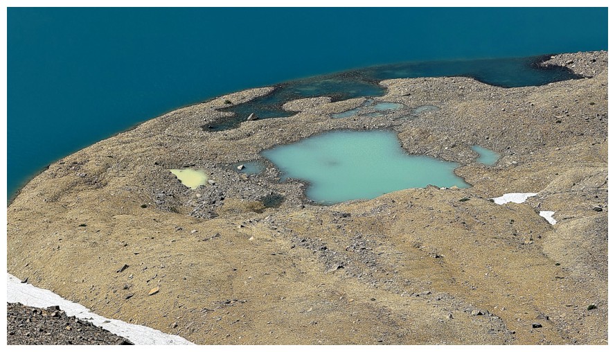
Definitely obsessed with those tarns now
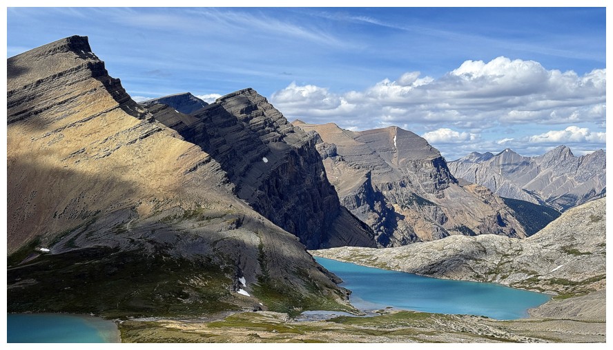
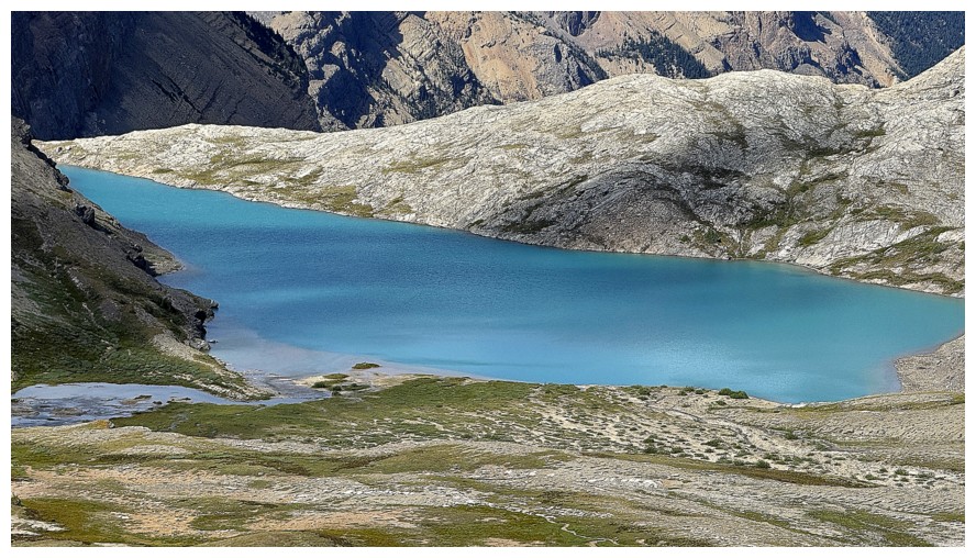
The Lower Lake looks more elongated here
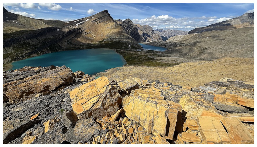
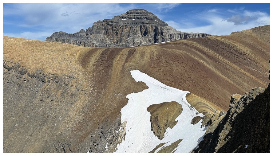
No shortage of colourful rock in this area
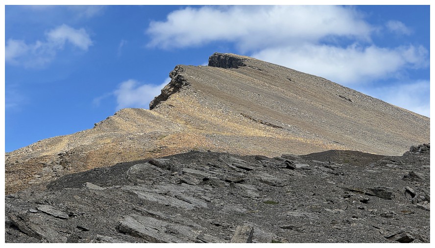
Looking back up OPP
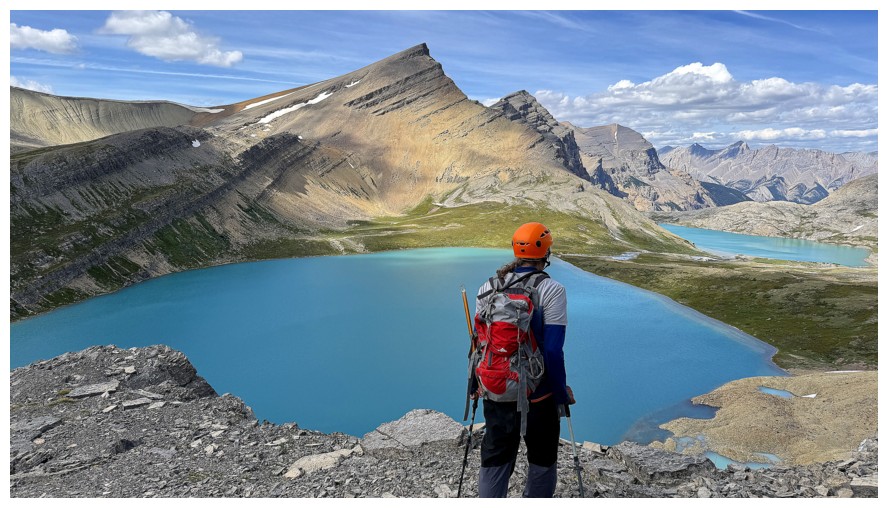
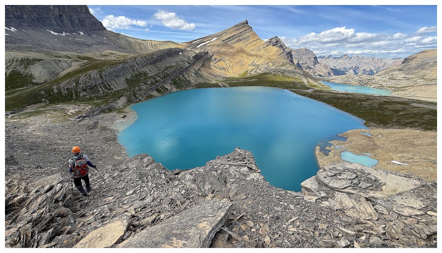
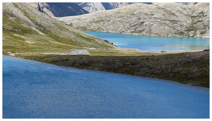
Like the lines here
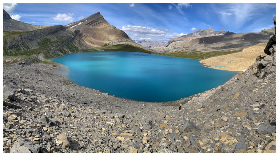
Descending to the Upper Lakeshore
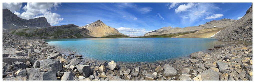
Arrived
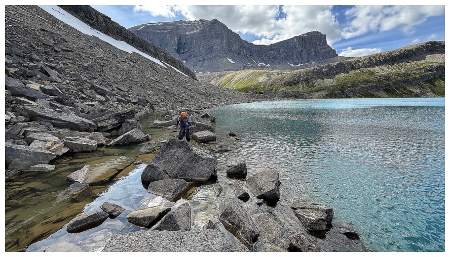
Boulder hopping around the south side of the lake to get a look at those tarns
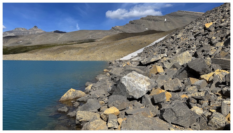
Same as above
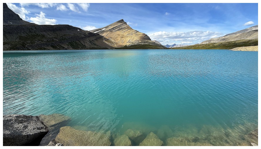
The colour of the lake was absolutely mesmerizing
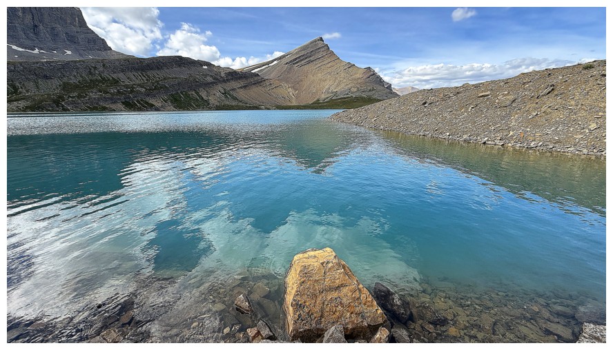
A welcome reflection of Michelle Lakes Peak
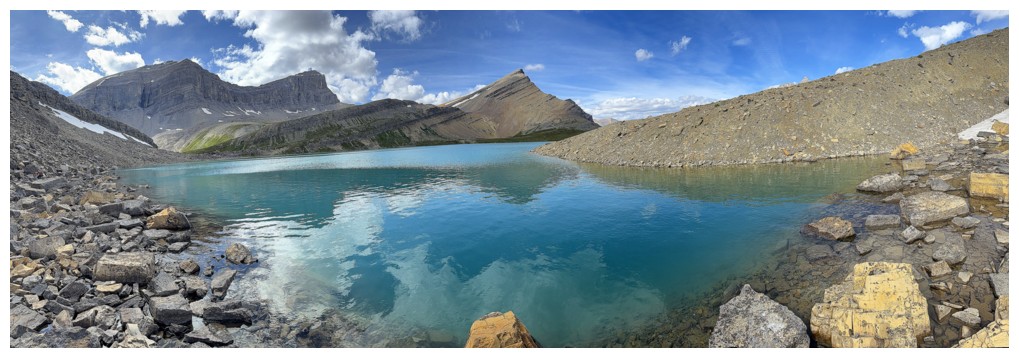
Same as above, with Kink
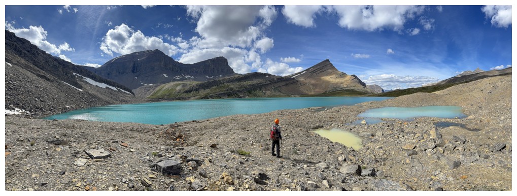
At the tarns
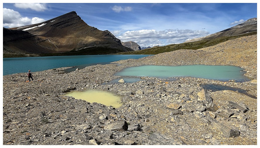
The different hues reflected in the tarns is obvious here
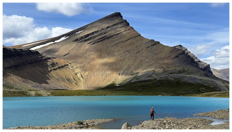
Mark and Michelle Lake Peak
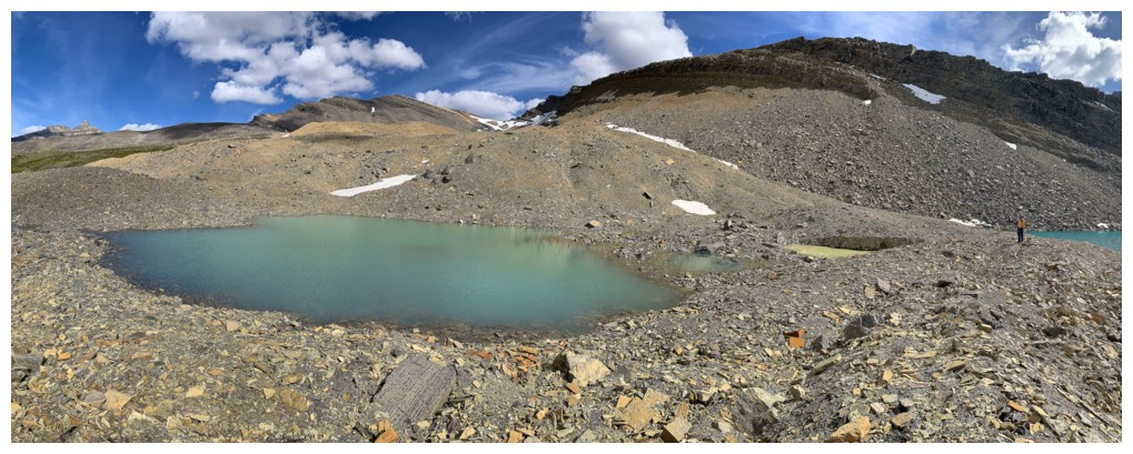
Mark's view, with OPP in the background
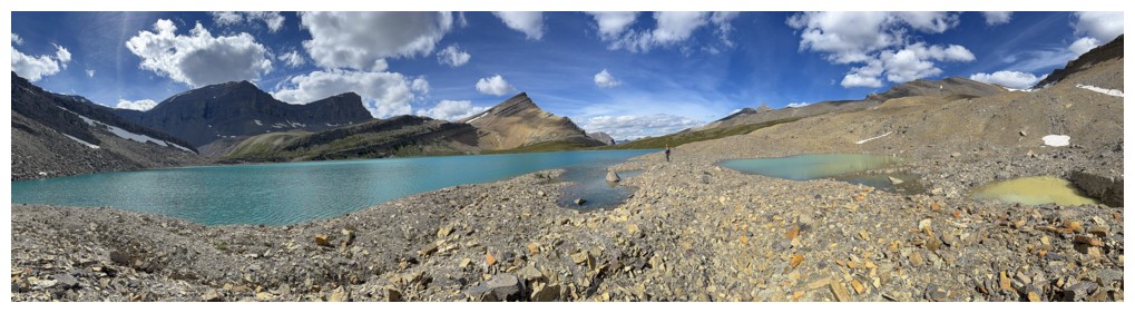
Exploring the fascinating terrain around the south side
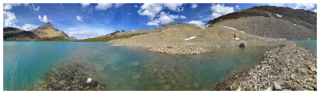
Heading out onto a small peninsula
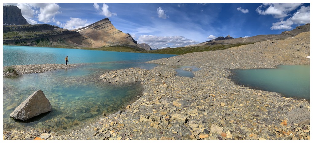
Arrived
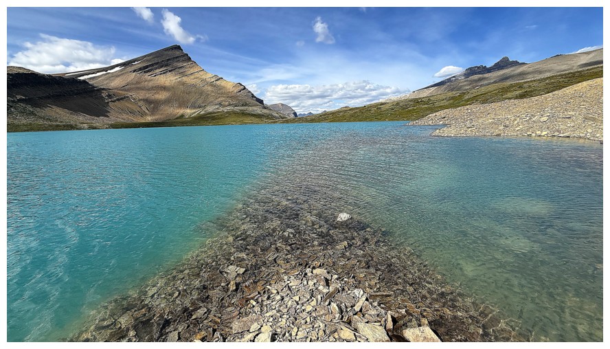
My view from the peninsula
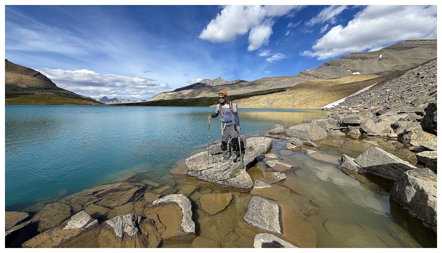
Returning
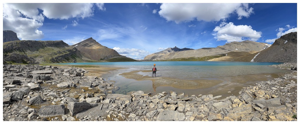
Now at the southwest side of the lake
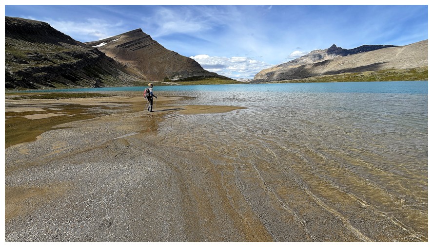
The small waves were really cool here
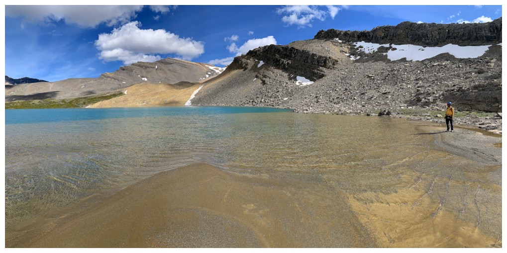
A little exploration time at the southwest side before leaving
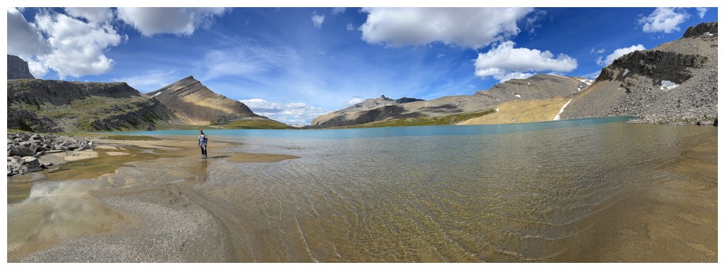
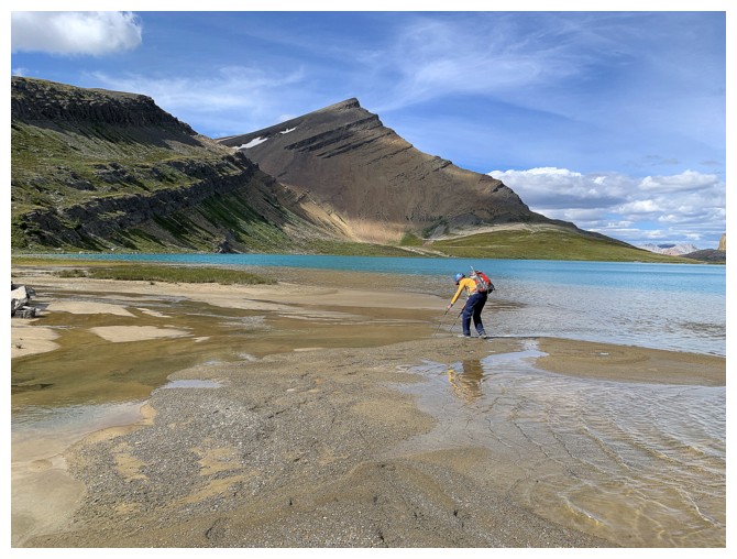
Checking to see if I can go further without getting my feet wet - the answer was no
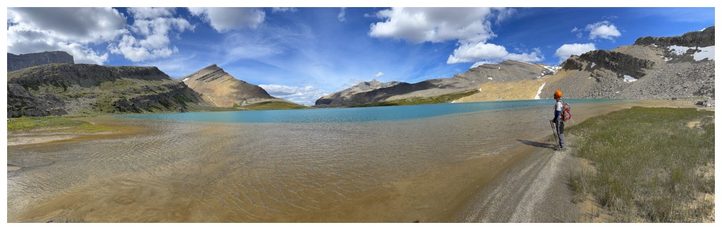
Back on drier terrain
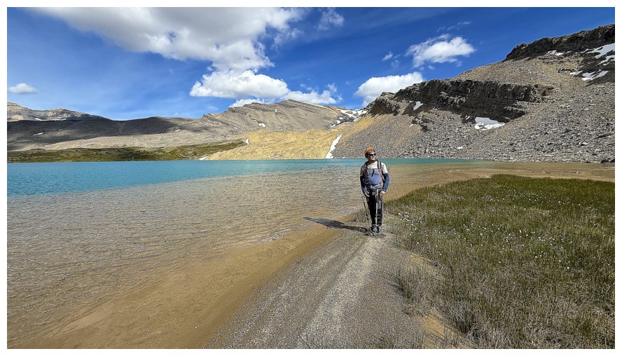
The slope behind Mark could be used to access the higher peak that is part of the Mount Cline massif
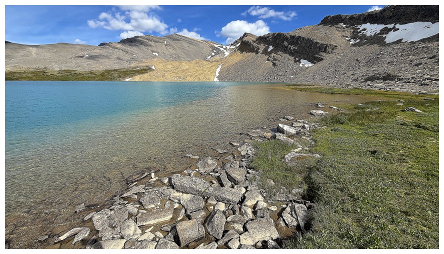
Without Mark
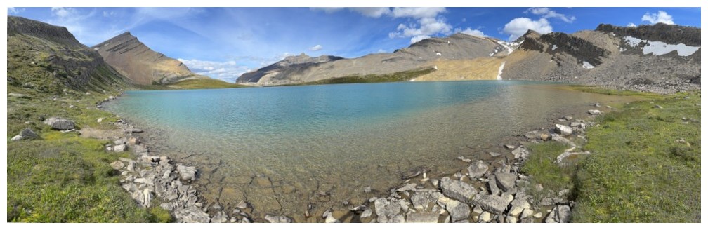
Last close-up look at Upper Michelle Lake
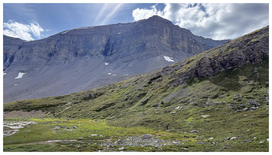
A southern outlier of Kink
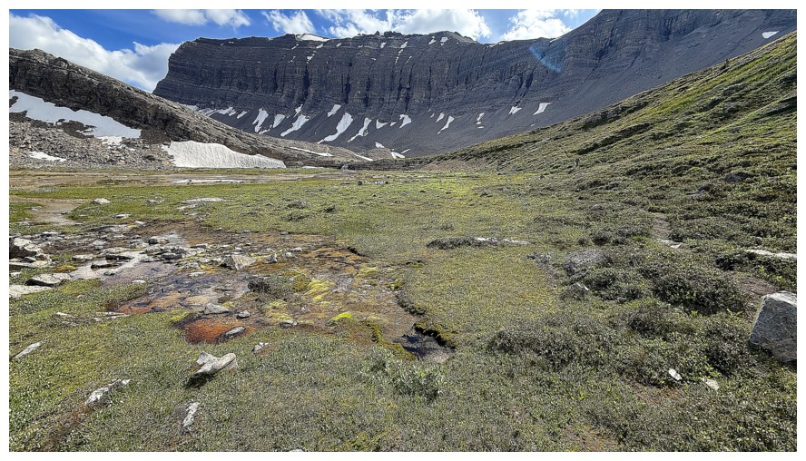
The flats above the lake and another southern outlier of Kink - probably the highest point of the massif
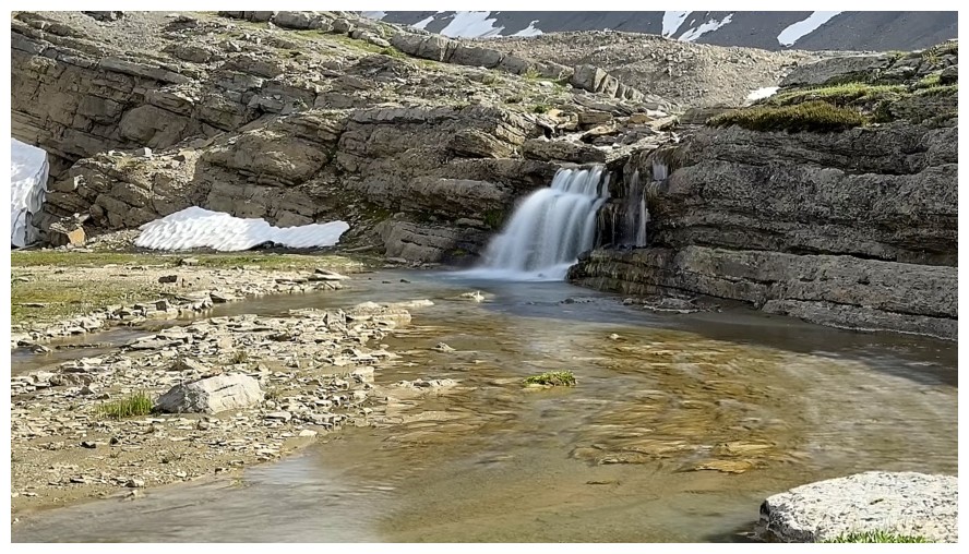
The stream that feeds the Upper Lake
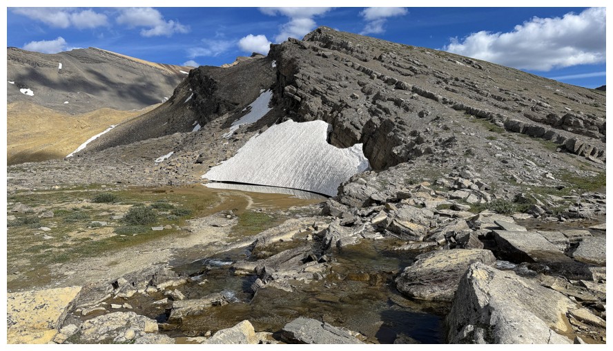
OPP
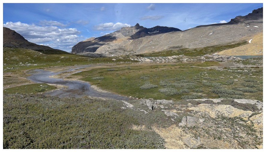
Crossing the flats
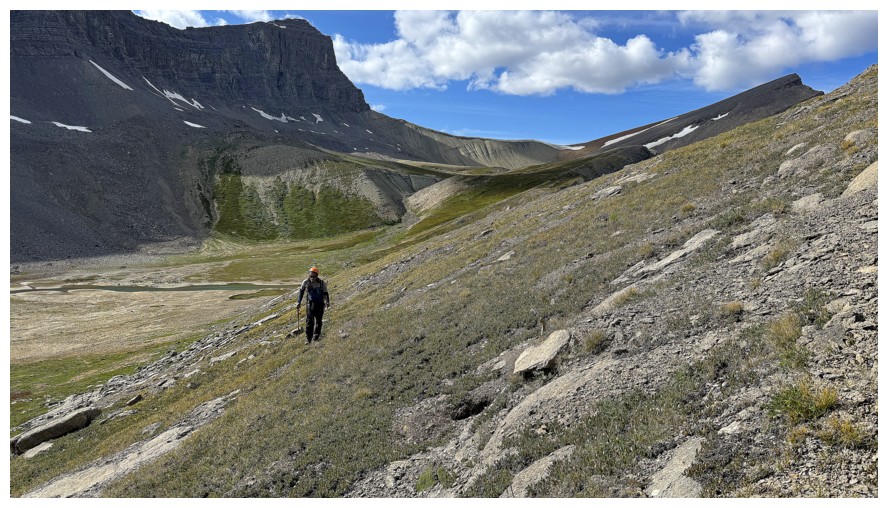
Side-sloping to get back up to Owen Pass
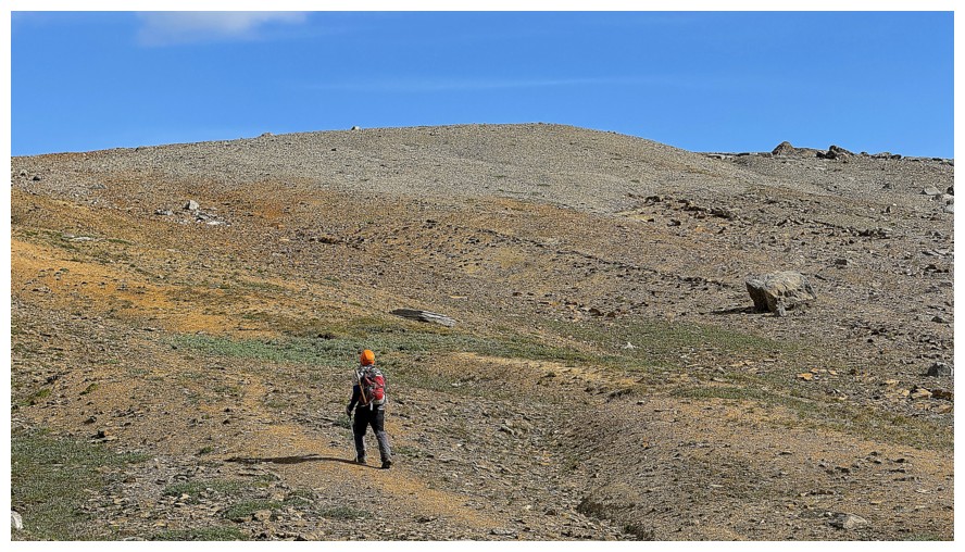
The rock underfoot changes colours again
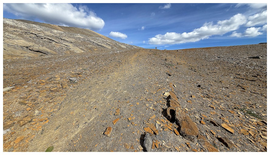
Mark has already arrived at the Pass
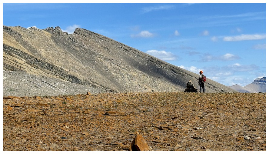
At the pass
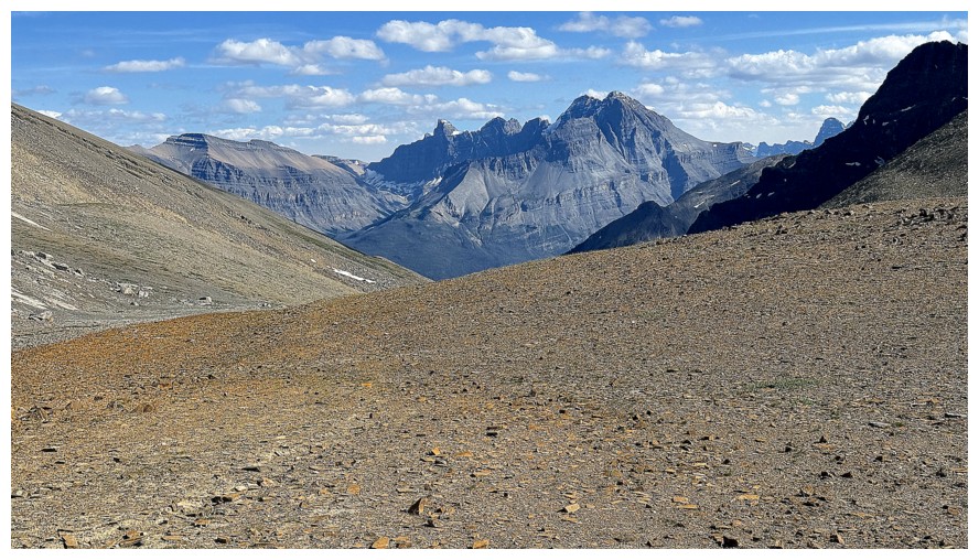
Reunited with that view of Murchison
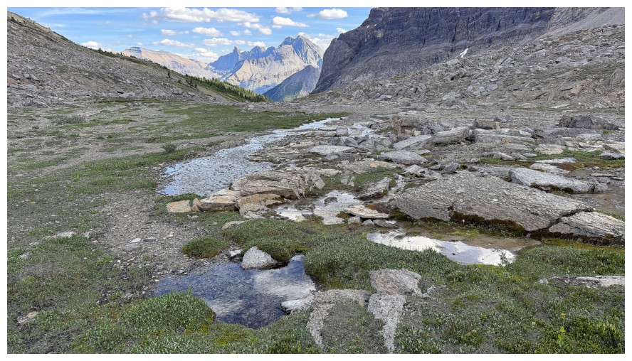
Same as above, but lower down
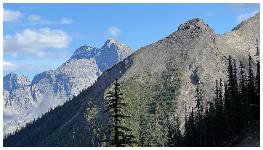
Another Wilson outlier and Murchison
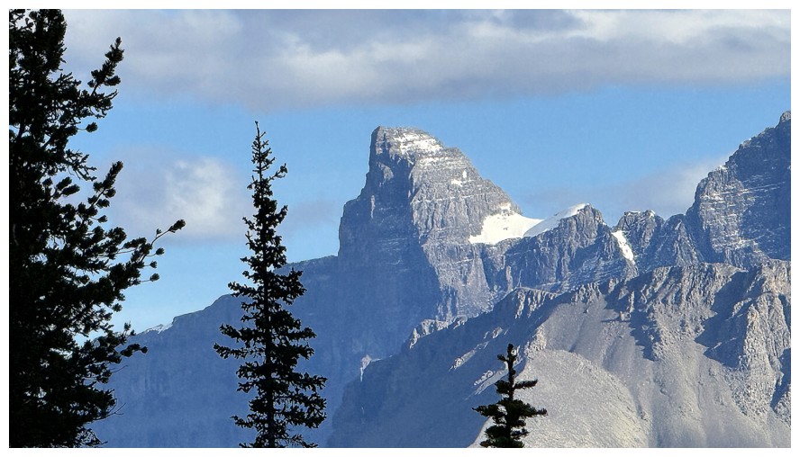
One of the most distinctive of the Murchison towers
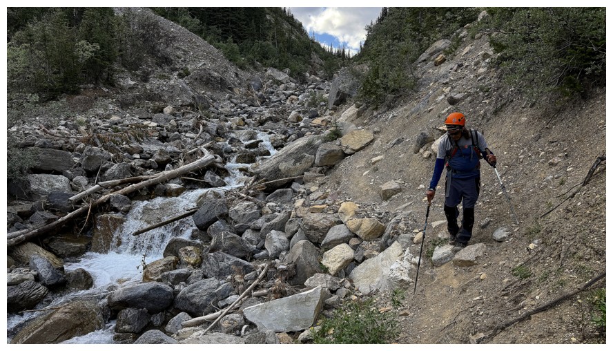
Back on a not-so-pleasant section of the GDT
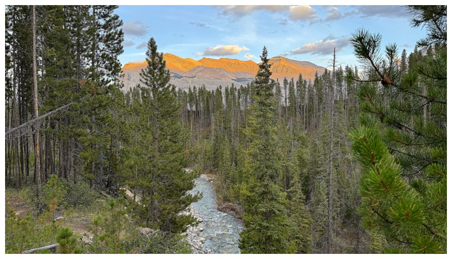
Late day views over Owen Creek
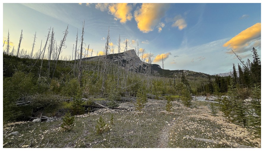
Gates Of The David Thompson and a few Sunlit clouds get the last word,
near the end of a remarkable and exceedingly rewarding trip.
The End
LOG