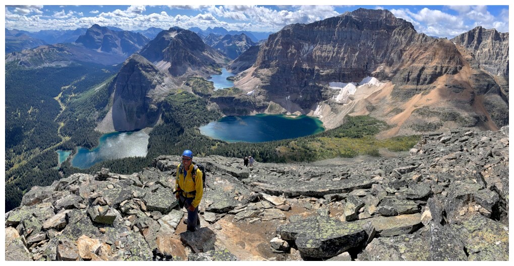
Greater Pharaoh Peak
August 29, 2021
Total elevation gain: 1800 m
Round-trip time: 12:30
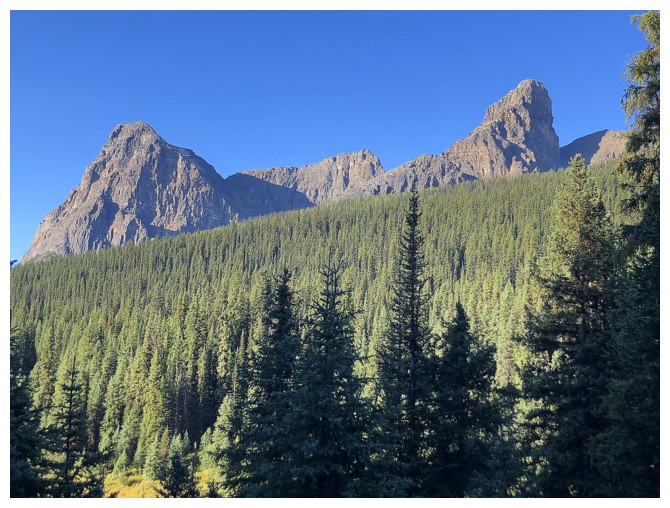
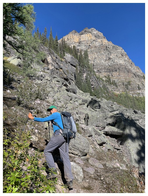
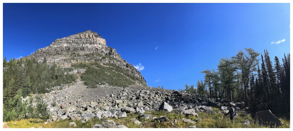
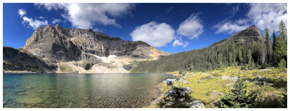
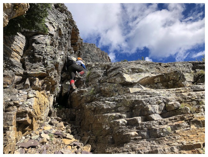
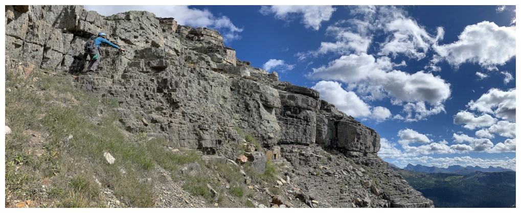
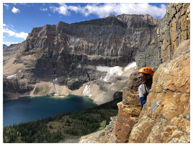
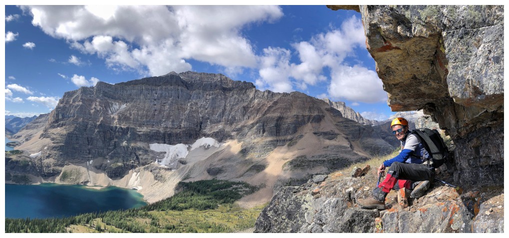
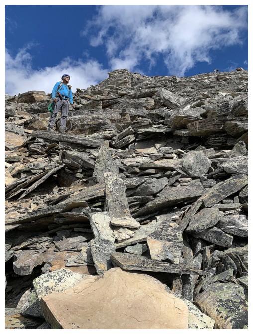
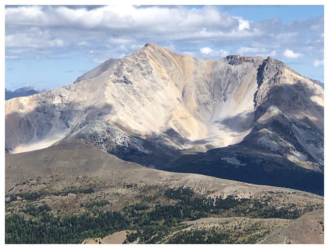
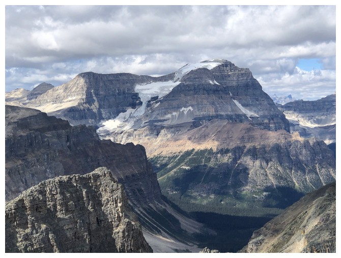
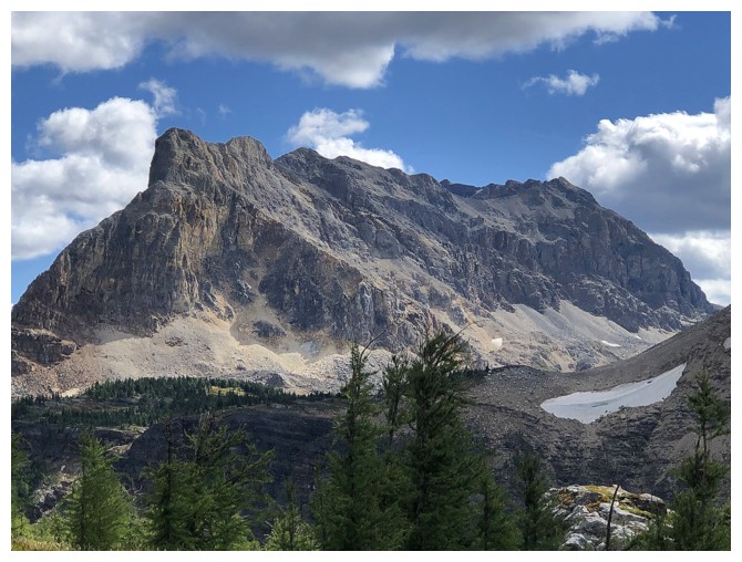
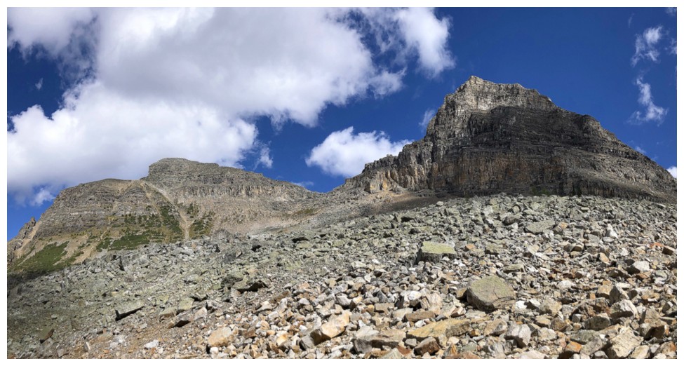
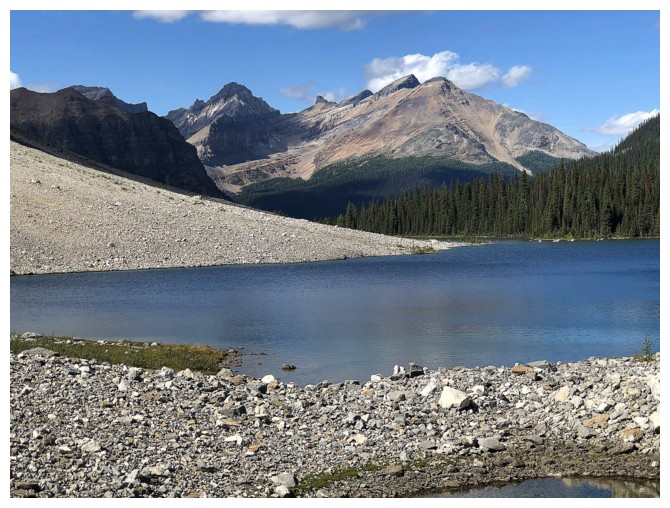
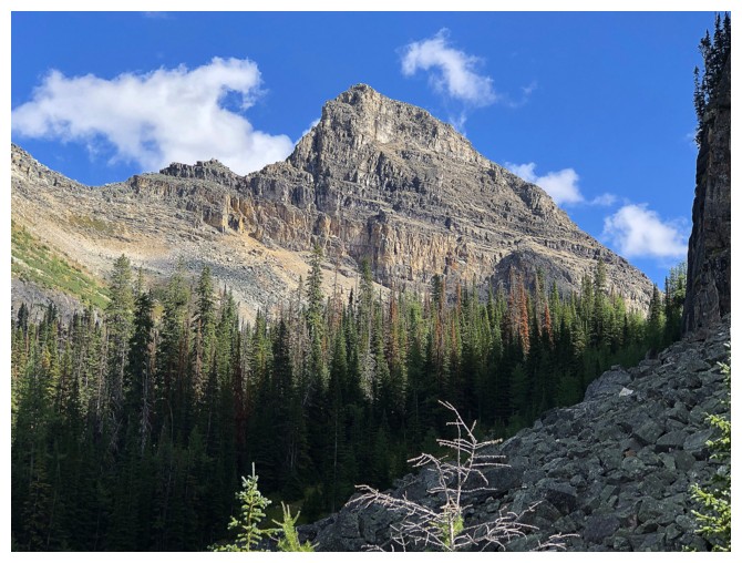
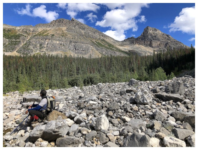
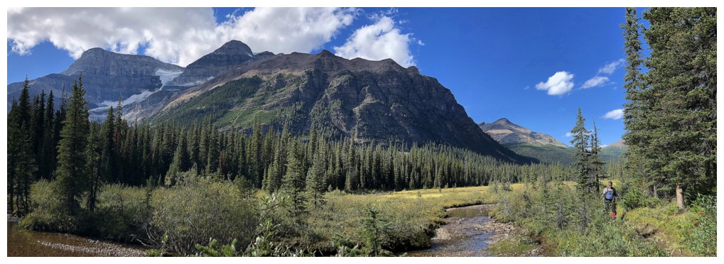
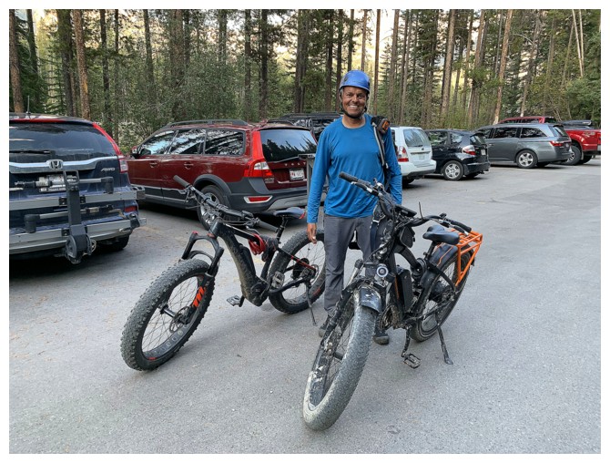
A first trip to the apparently magnificent Egypt Lakes area was long overdue. After consulting with Vern (who has done almost all of the ascents in the area) and finding an illuminating trip report by Matt Hobbs, we settled on an attempt of Greater Pharaoh Peak via Redearth Creek. The Redearth route is much longer than the approach from Healy Pass, but 21 km of the 44-52 km can be biked. Also, the route avoids a necessary 300 m elevation gain near the end of the day that one must endure via Healy Pass.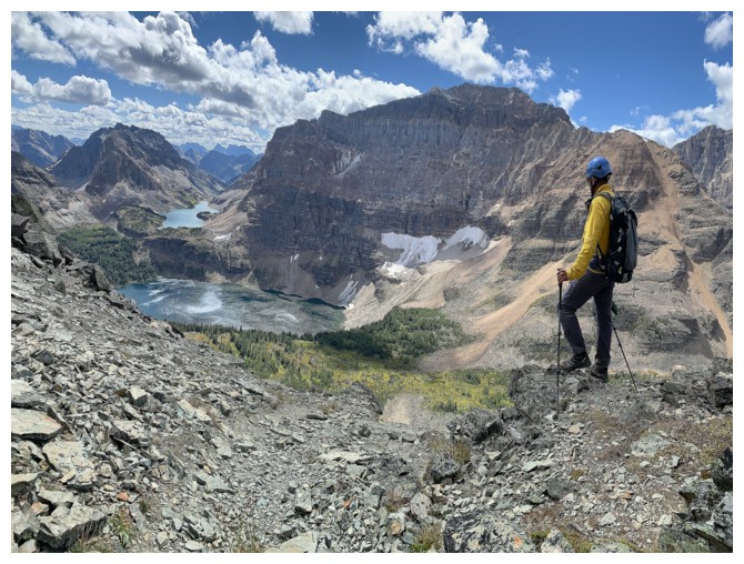 The
Healy Pass approach is reported to be far more scenic, but we were
going to have to sacrifice something on this trip and chose it to be
the beautiful environs of the pass.
The
Healy Pass approach is reported to be far more scenic, but we were
going to have to sacrifice something on this trip and chose it to be
the beautiful environs of the pass.
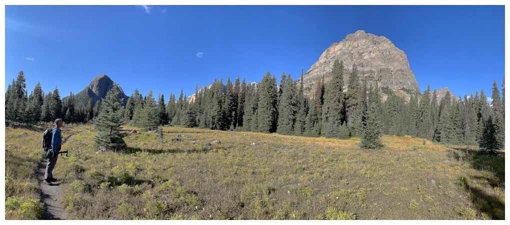
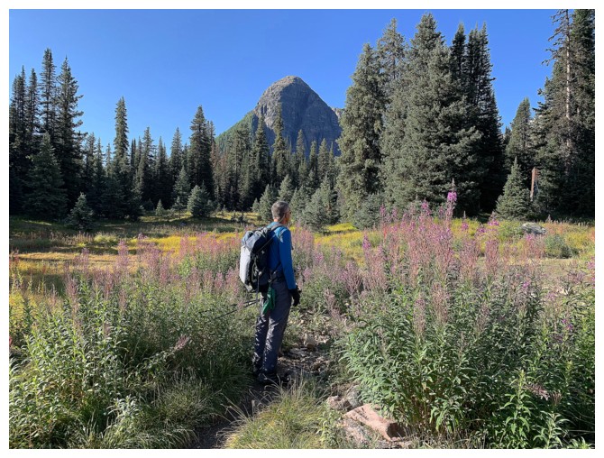
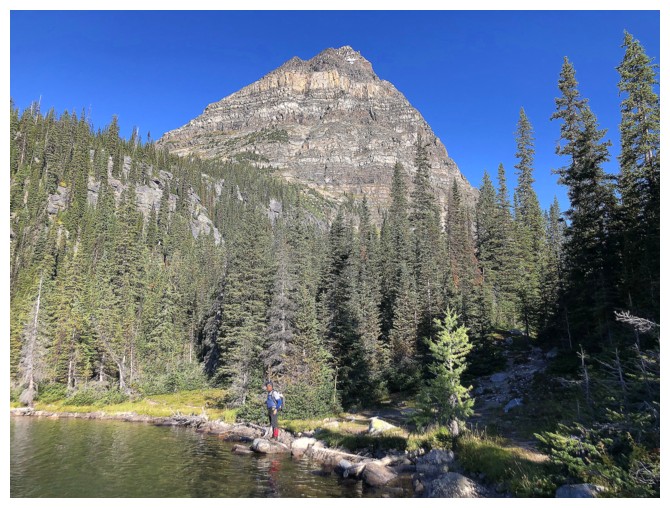
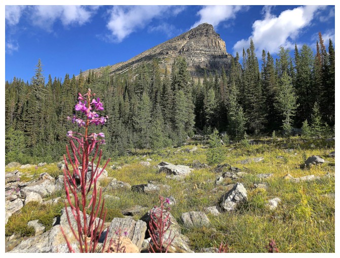
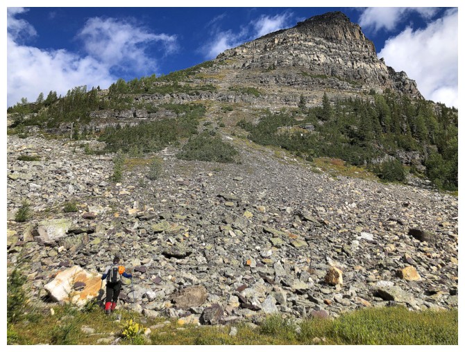
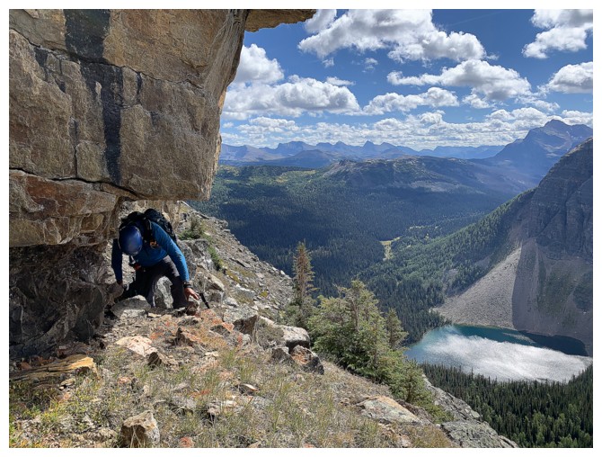
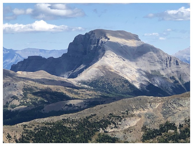
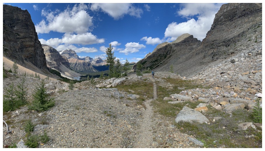
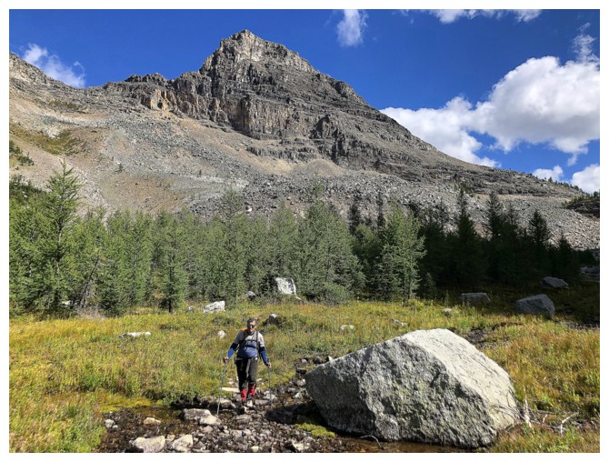
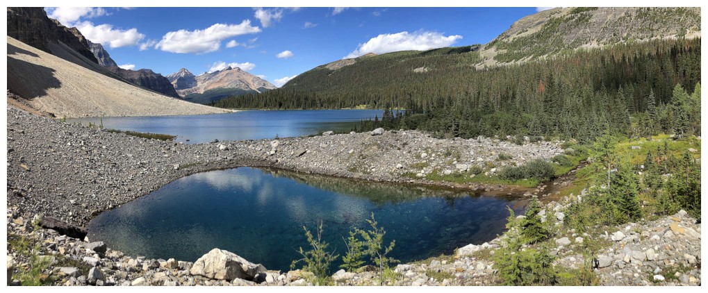
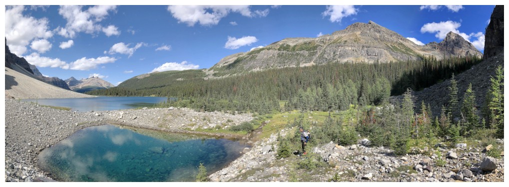
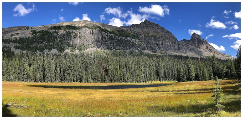
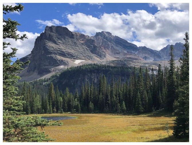
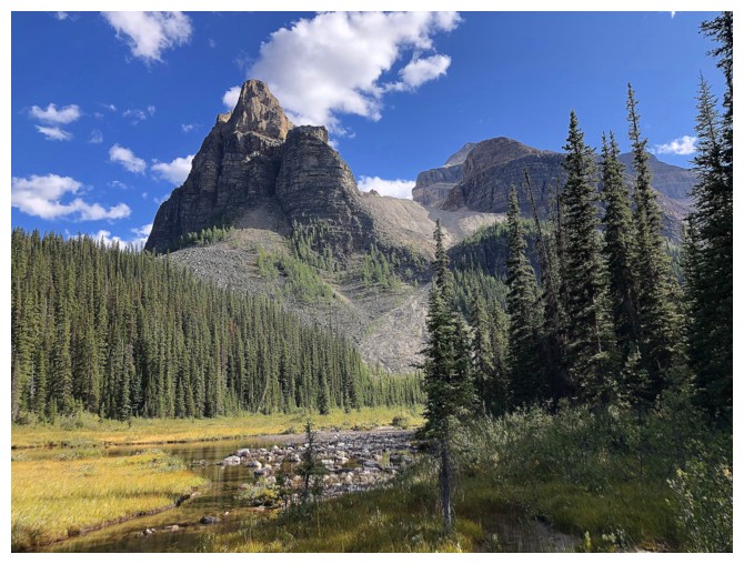
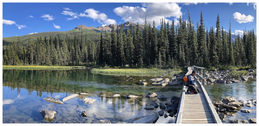
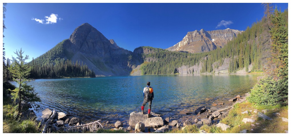
 The 8 or so kilometre hike paralleling
Pharaoh Creek to the Egypt Lakes area was also relatively easy, although the
new trail, that stays high above the creek, has more ups and downs than we were expecting.
The 8 or so kilometre hike paralleling
Pharaoh Creek to the Egypt Lakes area was also relatively easy, although the
new trail, that stays high above the creek, has more ups and downs than we were expecting.
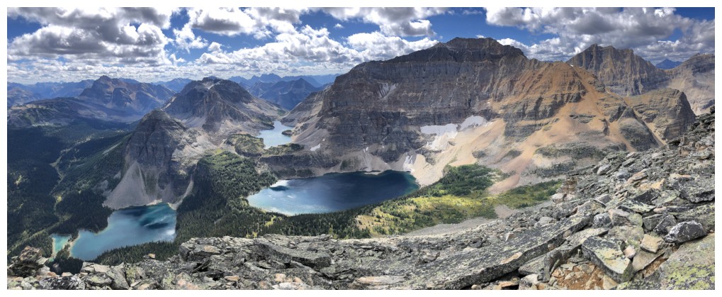
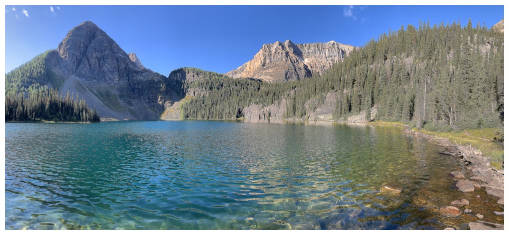
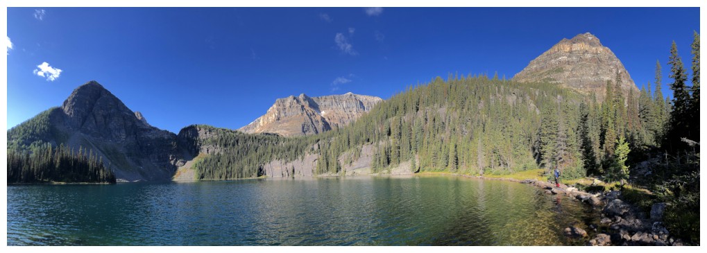
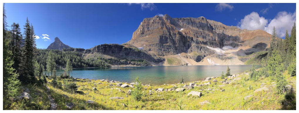
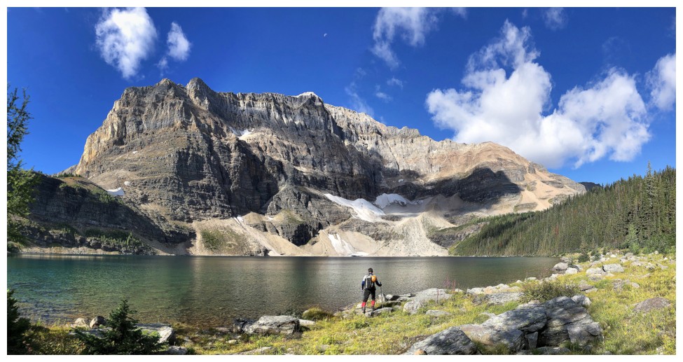
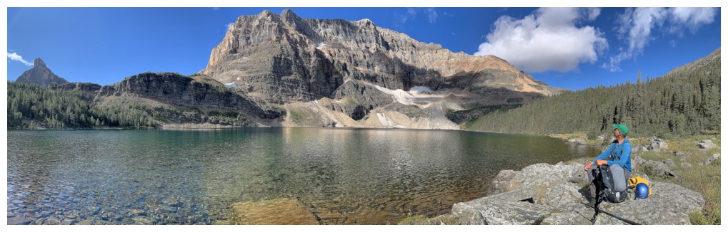
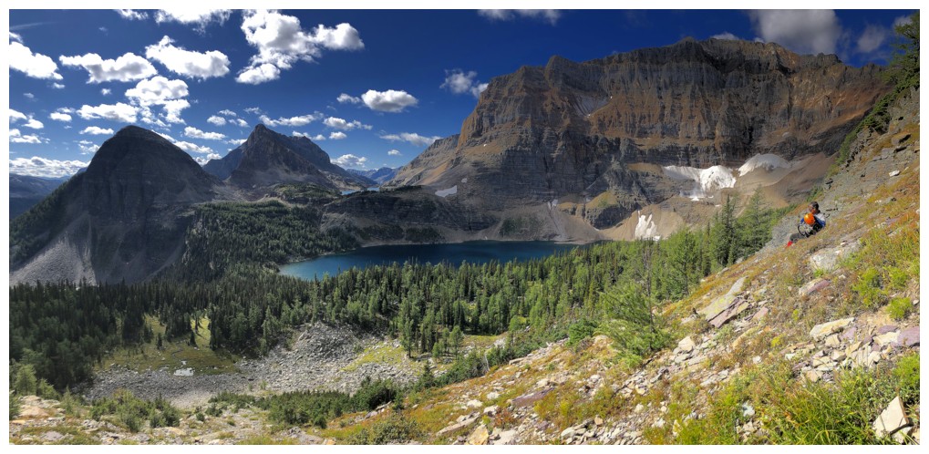
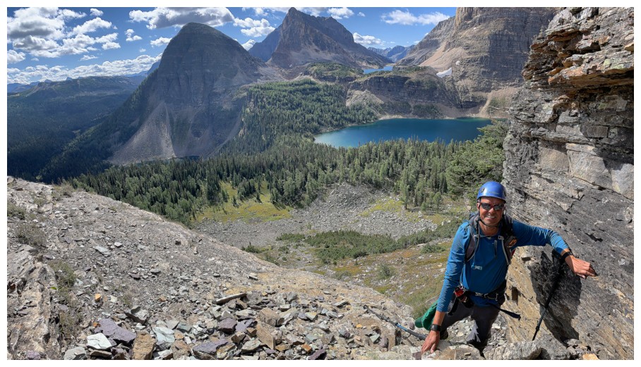
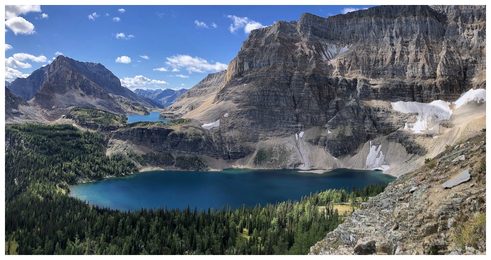
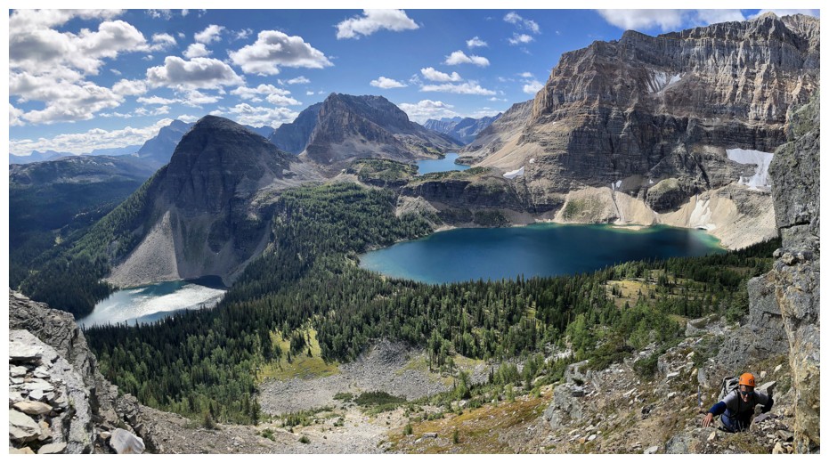
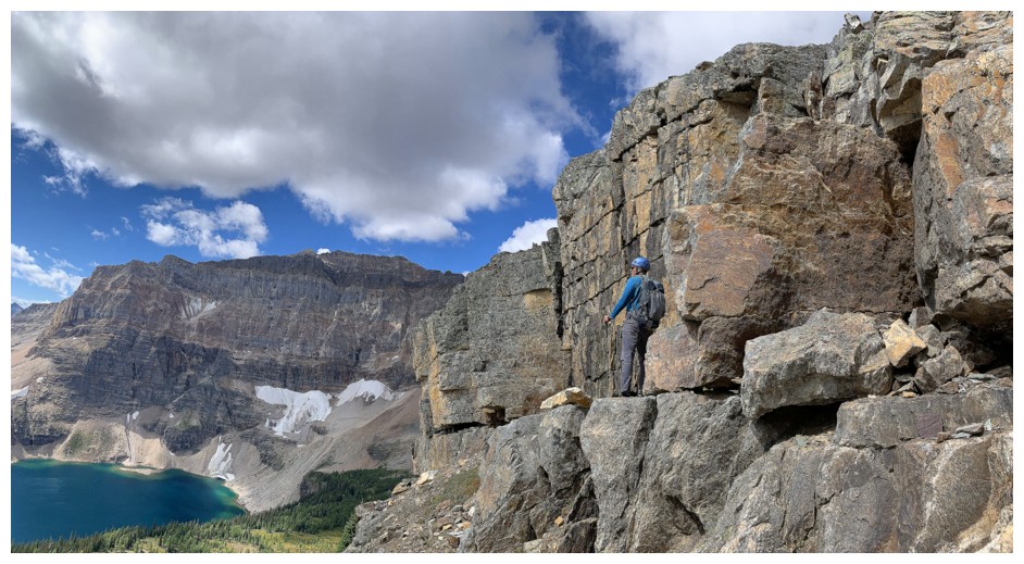
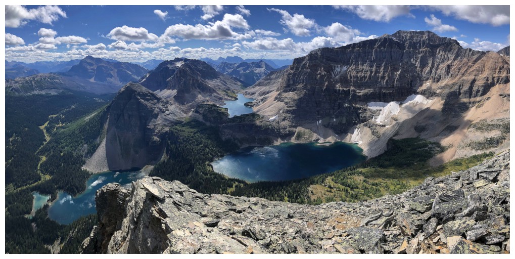
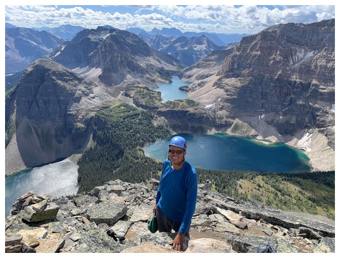
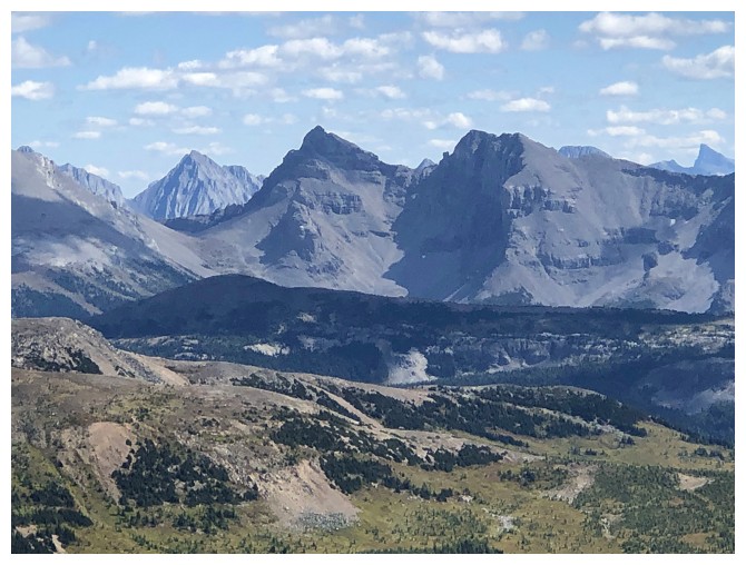
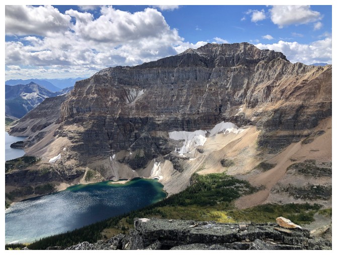
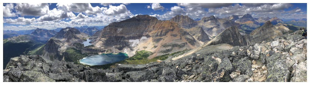
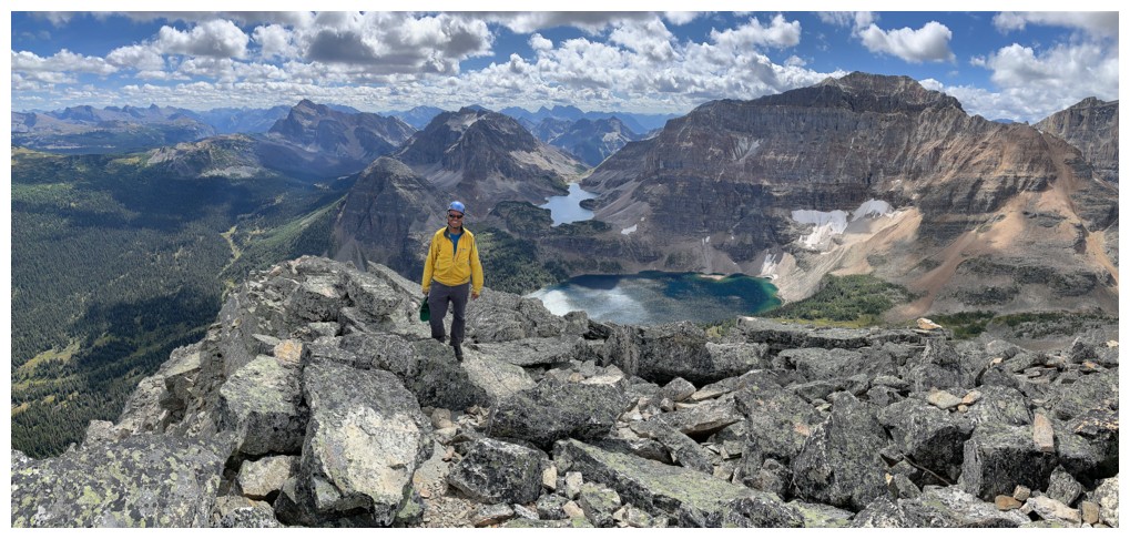
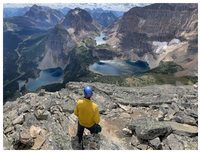
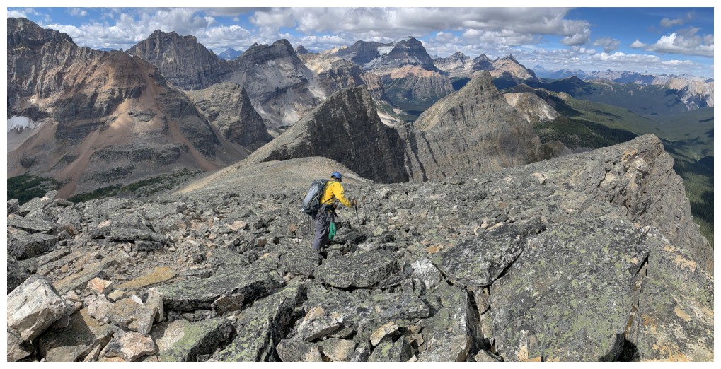
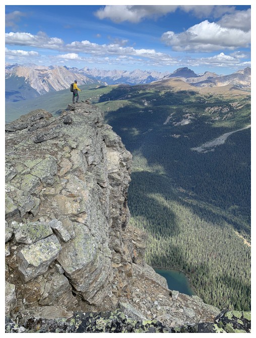
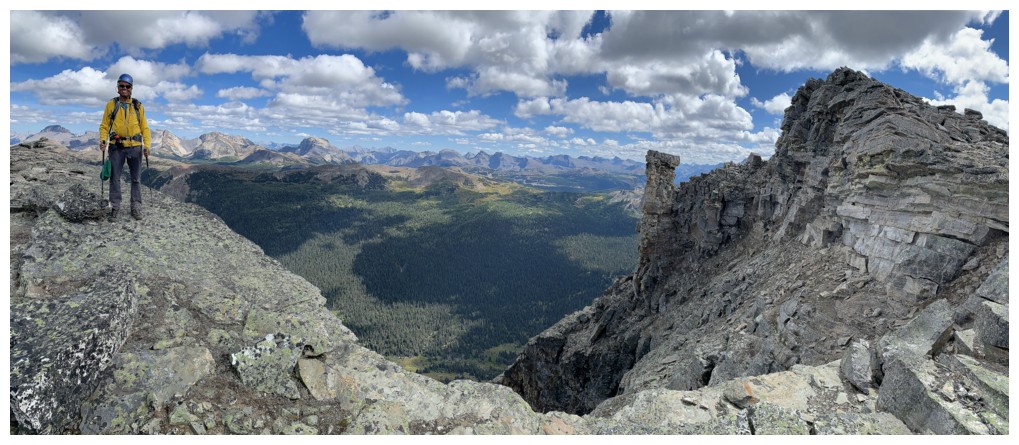
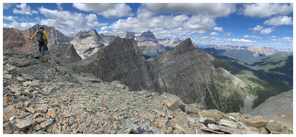
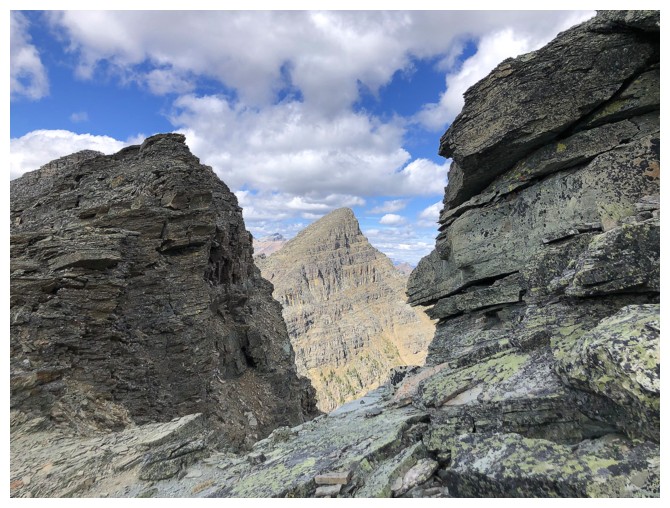
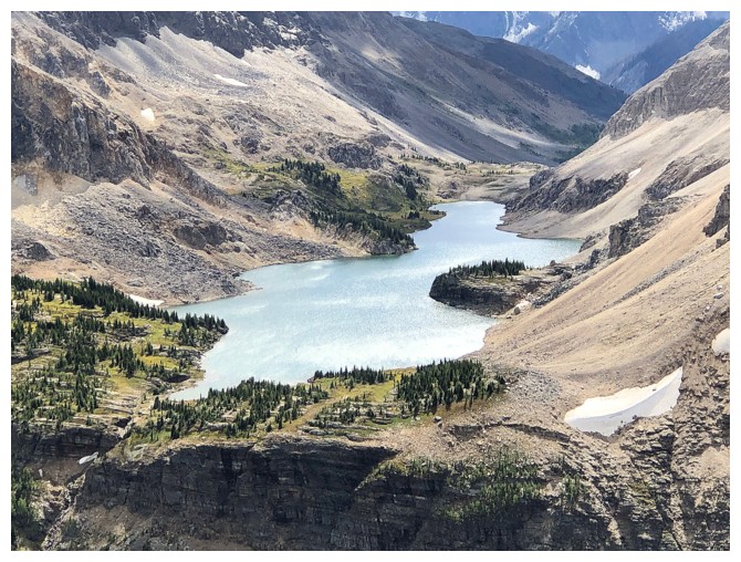
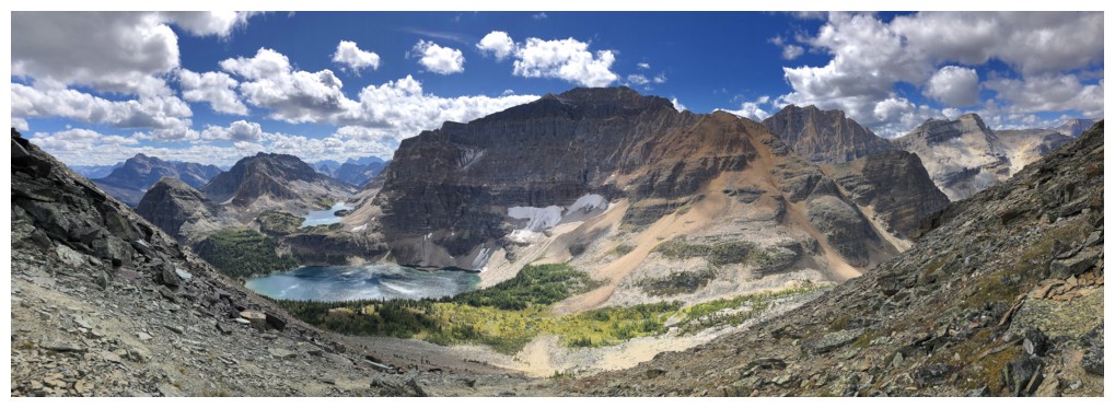
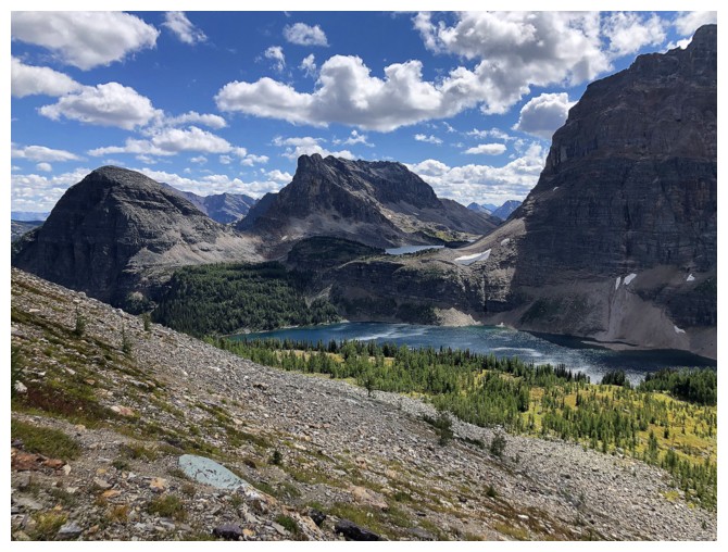
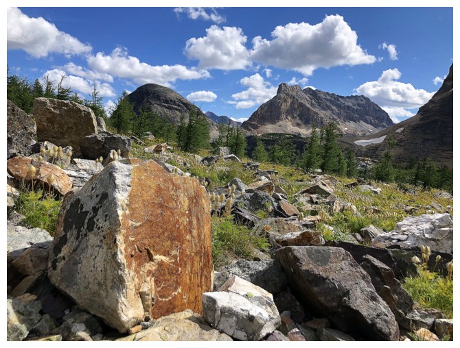
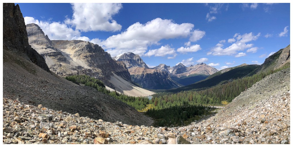
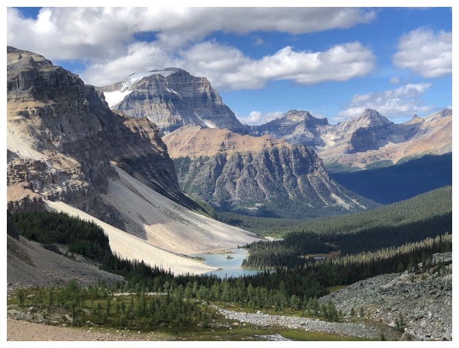
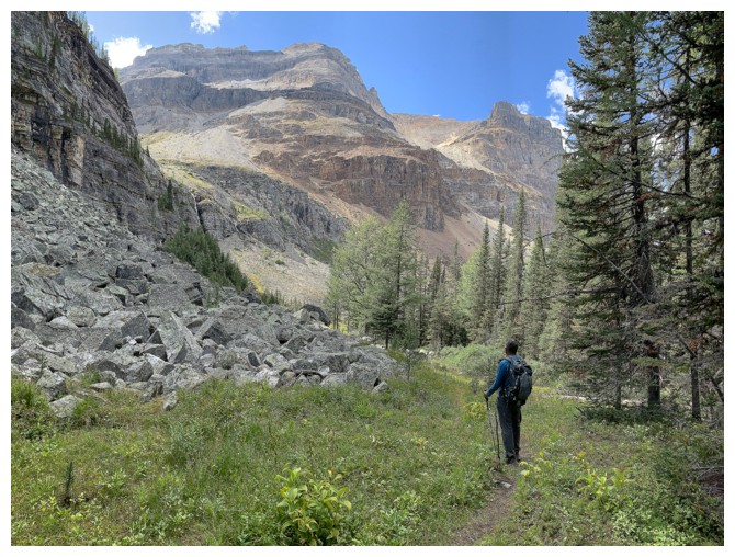
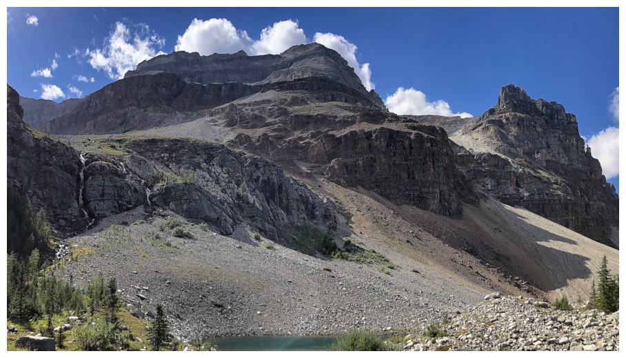
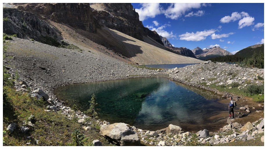
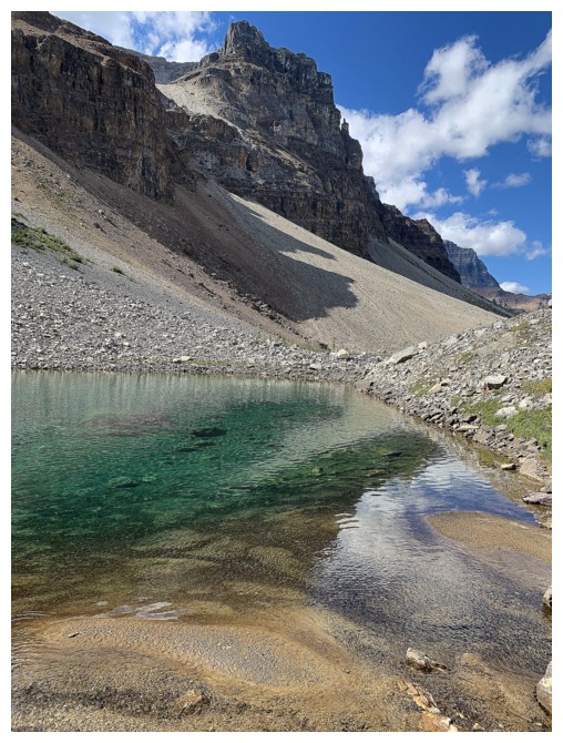
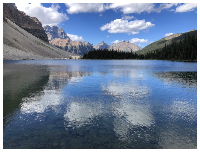
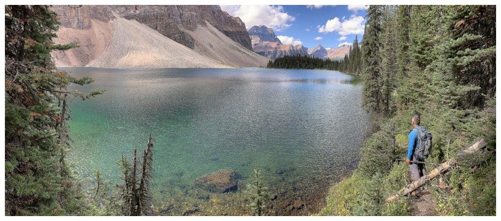
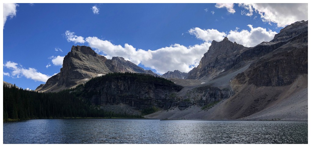
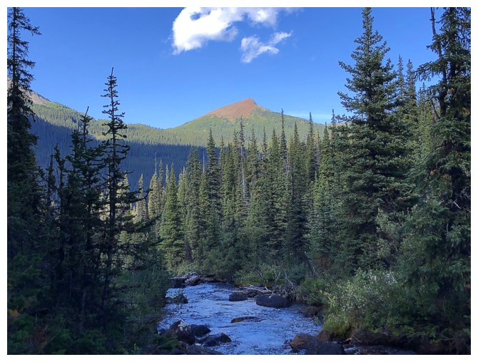
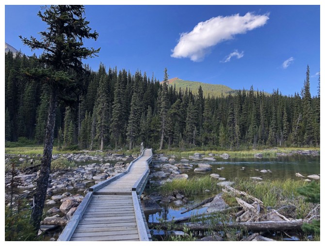
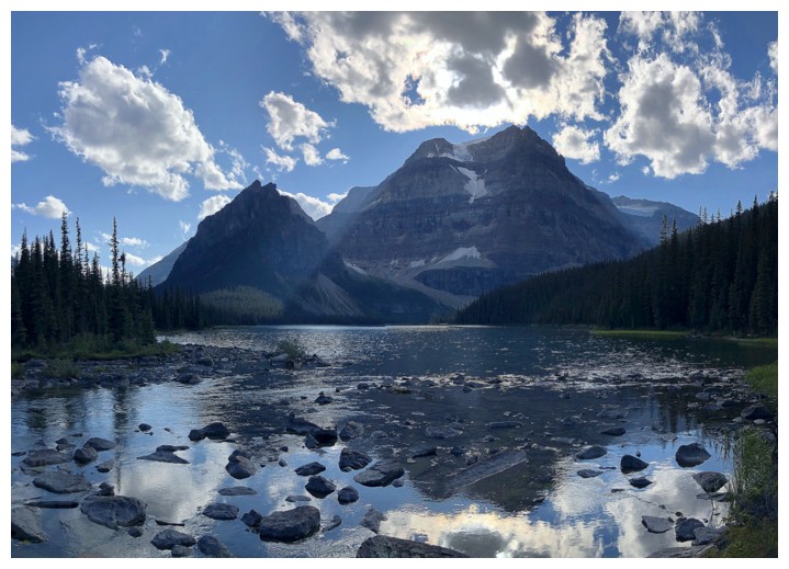
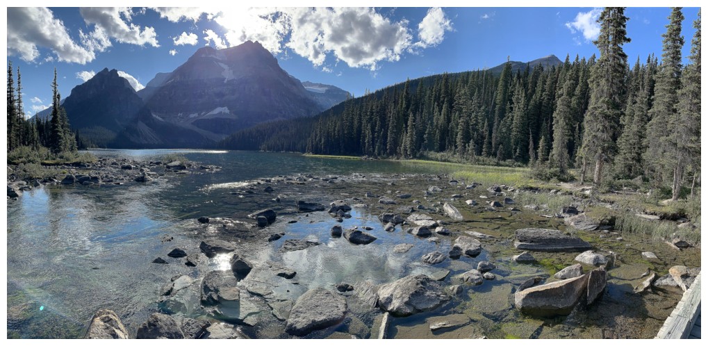
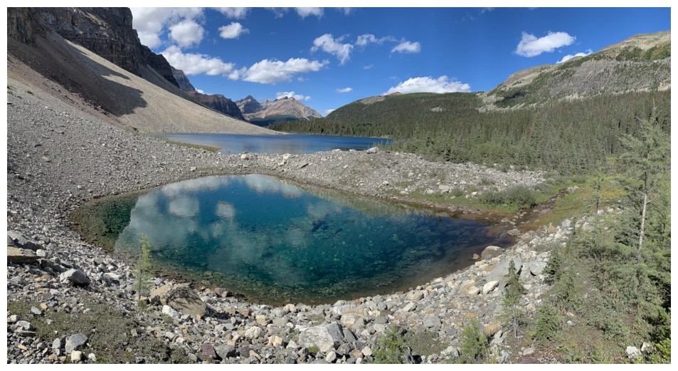
In keeping with Matt’s suggested route, we then descended to the valley to the west, made a short ascent up to Whistling Pass, and then headed down the other side towards Haiduk Lake. This is a wonderful route, offering fantastic views, visits to two beautiful lake shores (Haiduk and Shadow), and unlike the alternative is downhill throughout. The day ended with a 37-minute, exhilarating bike ride back to start – yes, biking 10.5 km downhill took us slightly longer than the same distance uphill – yet another testament to the power of ebikes and also to our slow and conservative biking styles!

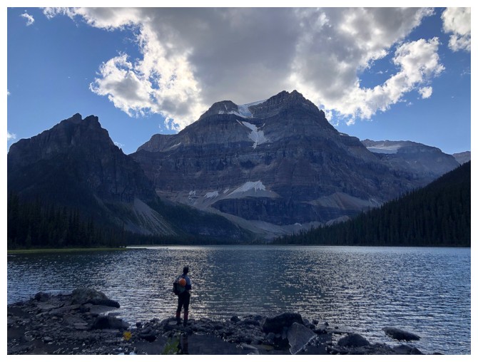
Great day and hopefully the first of many visits to this stunning area of the Rockies! Big thanks to Vern and Matt for their invaluable info.
Total elevation gain: 1800 m
Round-trip time: 12:30
A first trip to the apparently magnificent Egypt Lakes area was long overdue. After consulting with Vern (who has done almost all of the ascents in the area) and finding an illuminating trip report by Matt Hobbs, we settled on an attempt of Greater Pharaoh Peak via Redearth Creek. The Redearth route is much longer than the approach from Healy Pass, but 21 km of the 44-52 km can be biked. Also, the route avoids a necessary 300 m elevation gain near the end of the day that one must endure via Healy Pass.
The
Healy Pass approach is reported to be far more scenic, but we were
going to have to sacrifice something on this trip and chose it to be
the beautiful environs of the pass. The 8 or so kilometre hike paralleling
Pharaoh Creek to the Egypt Lakes area was also relatively easy, although the
new trail, that stays high above the creek, has more ups and downs than we were expecting.In keeping with Matt’s suggested route, we then descended to the valley to the west, made a short ascent up to Whistling Pass, and then headed down the other side towards Haiduk Lake. This is a wonderful route, offering fantastic views, visits to two beautiful lake shores (Haiduk and Shadow), and unlike the alternative is downhill throughout. The day ended with a 37-minute, exhilarating bike ride back to start – yes, biking 10.5 km downhill took us slightly longer than the same distance uphill – yet another testament to the power of ebikes and also to our slow and conservative biking styles!
Great day and hopefully the first of many visits to this stunning area of the Rockies! Big thanks to Vern and Matt for their invaluable info.