Mountain height: 2,487 m (8,157
ft)
Elevation gain: 515
m
Ascent time:
2:00
Descent time:
?
Hiking with Mark and Keri.
Were it not for an interesting and scenic alternate descent route, this trip would have been a total “dud”. Dismally poor weather conditions limited visibility to the mountain itself and yet again, we were denied a decent view of the Continental Divide mountains.
Our intended ascent route was
the 6.7 km hike from the west, via
Obviously, there was little
summit view to speak of and the noisy and unsightly oil well at the top, further
detracted from the experience. After a break and some aimless wandering around
the presently snow-covered and barren plateau, we turned around. Thankfully, our
decision to try an alternate and more direct route down, turned out to be the
day’s saving grace. The scenery was terrific, as we weaved our way around and
through rockbands and drop-offs. Small overhanging cliffs and an interesting
cave further added to the enjoyment of the descent. One of those, “Could have
better…could have been worse” days.

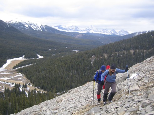
Mark and Keri on the easy ascent slope; this was as good as the view to the west got; shortly after, we were in whiteout type conditions
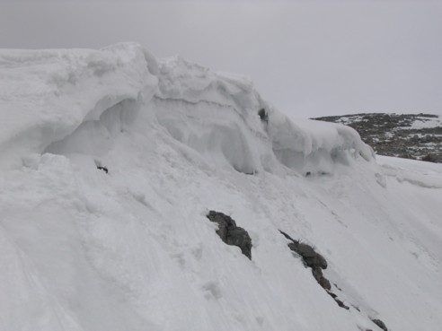
A little cornice scenery on the way up
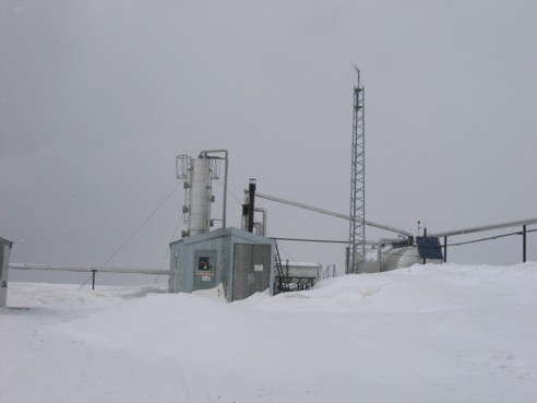
Besides a very large, hungry, and grumpy grizzly bear....the last thing one needs to see on the top of a mountain....welcome to debt-free Alberta???!!!
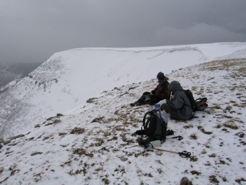
Taking a break near the summit
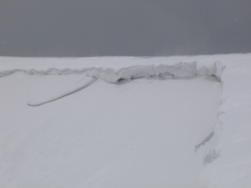
More cornice scenery and bleak views
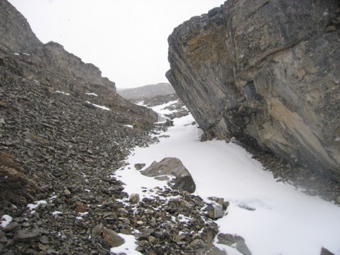
An overhanging rockband, seen on descent
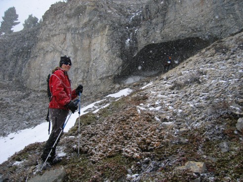
Keri, with the cave behind
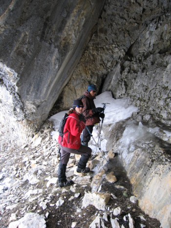
Keri and me inside the cave
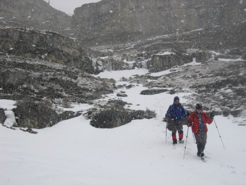
Mark and Keri and some of the descent route
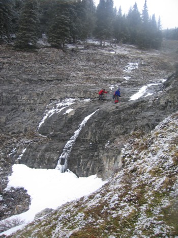
Keri and Mark circumventing one of several drop-offs on descent