Mount Pocaterra II
July
28, 2014
Mountain height: 2934 m
Elevation gain: approximately 750 m
Round-trip time: approximately 6.5 hours
Solo
scramble.
Inspired
by the trip reports of Rick
Collier and Sonny Bou,
outlining an alternate (and more direct) route to the summit of this
significant mountain, I was all in for a run at it. 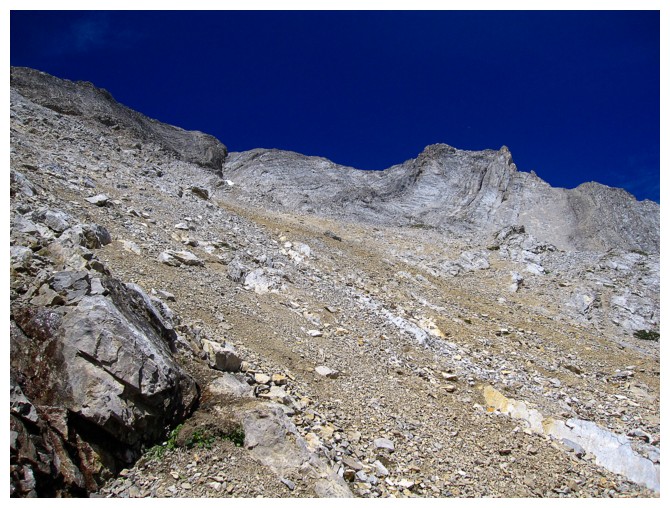 Like the majority of people
who summit Pocaterra I had competed the ascent via Mount Tyrwhitt, as described
in Alan Kane’s Scrambles book. This new route would share the same approach,
but veer onto the east face, eventually intercepting Kane’s route near the
summit. Side note: surprisingly, Mount Pocaterra is the highest peak of the
immense Elk Range massif and yet has not earned an official designation.
Like the majority of people
who summit Pocaterra I had competed the ascent via Mount Tyrwhitt, as described
in Alan Kane’s Scrambles book. This new route would share the same approach,
but veer onto the east face, eventually intercepting Kane’s route near the
summit. Side note: surprisingly, Mount Pocaterra is the highest peak of the
immense Elk Range massif and yet has not earned an official designation.
As
always in this neck of the woods, the approach was a scrambler’s dream –
 short, very scenic, and starting at treeline. Once at the base of the east
face, the route up unfolded with relative ease; probably because there is only
one weakness through the near vertical rock on the face. In fact, the crux of
the trip remains the exposed ridge scramble to the summit. Unfortunately, the east face
route does not bypass that nasty section of the ascent.
short, very scenic, and starting at treeline. Once at the base of the east
face, the route up unfolded with relative ease; probably because there is only
one weakness through the near vertical rock on the face. In fact, the crux of
the trip remains the exposed ridge scramble to the summit. Unfortunately, the east face
route does not bypass that nasty section of the ascent.
Enjoying
near perfect weather, I took a long break at the summit and then retraced my
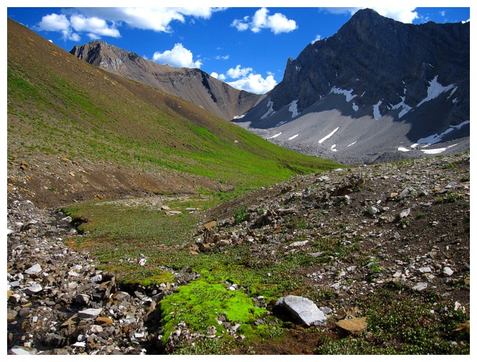
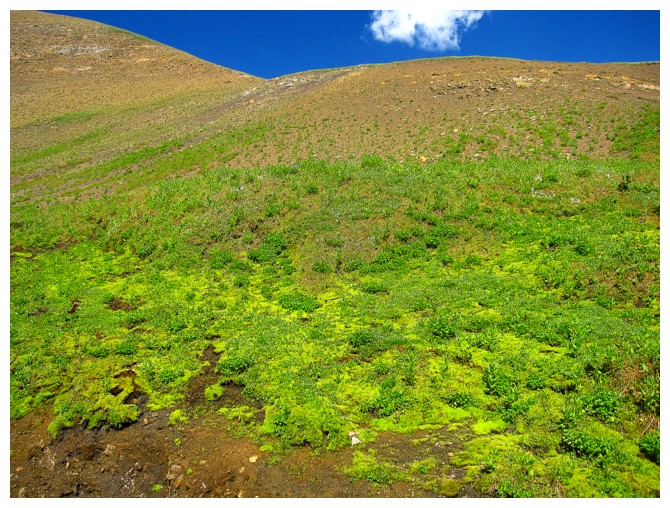
route back down to the valley. The highlight of this portion of the trip turned
out to be the stunning green of the grass at the base below the mountain – I took more
photos of the grass than views from the summit!
Definitely
a shorter and exciting route to this major summit and one that I would
certainly consider repeating. Hats off and “thank you’s” to Sonny, Rick, and also
to Bob Parr, from whom Sonny got the route idea.
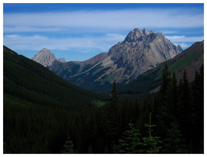
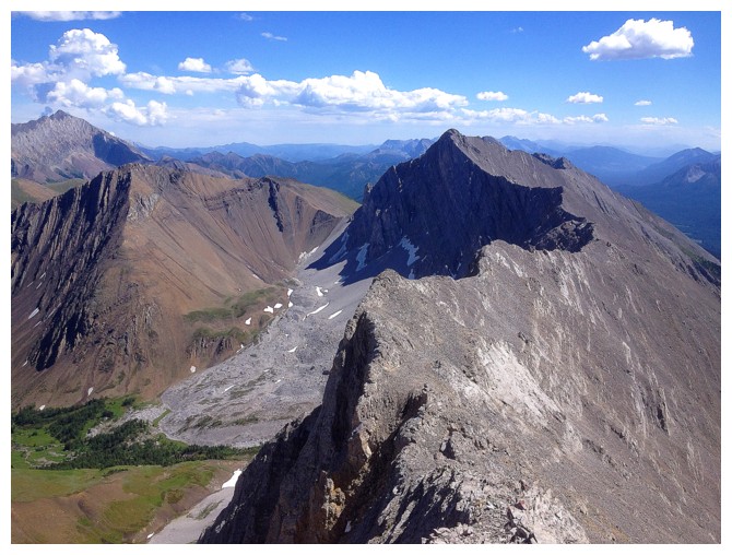
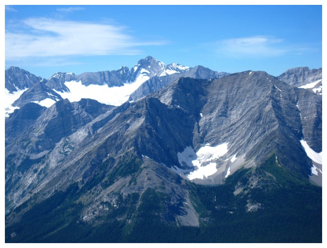
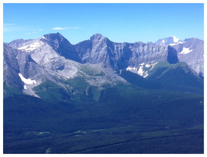
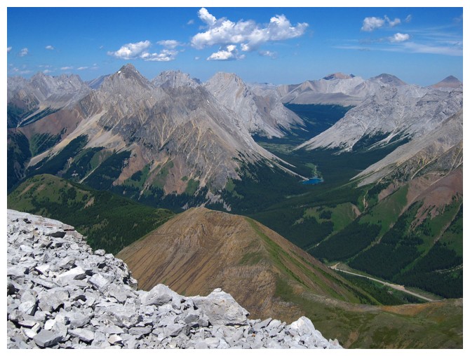
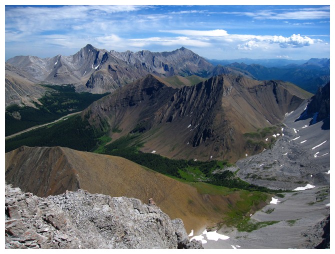
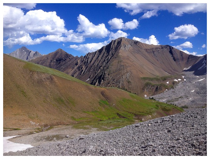
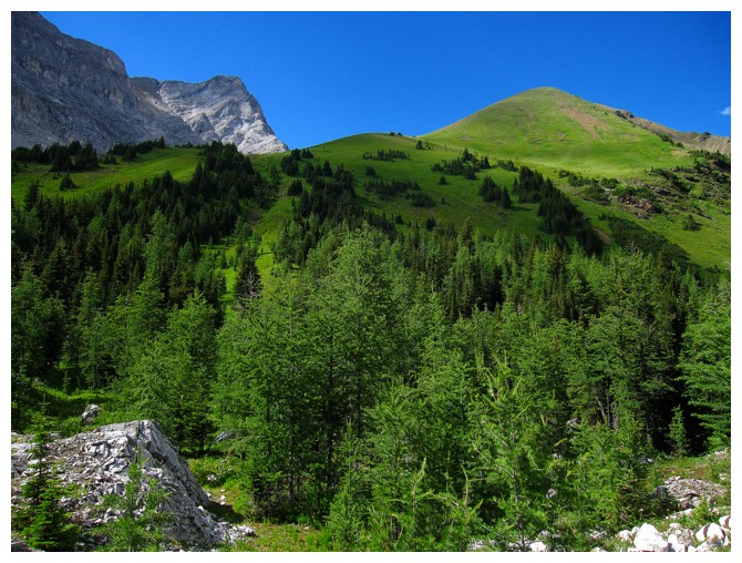
Gap Mountain (left) and Elpoca Mountain - two awesome and very different ascents in the Highwood
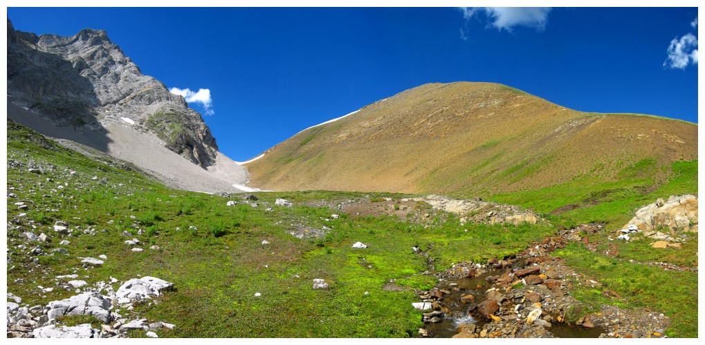
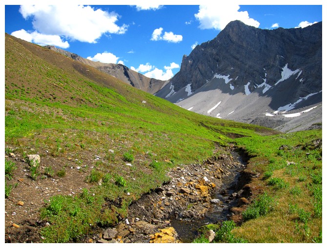
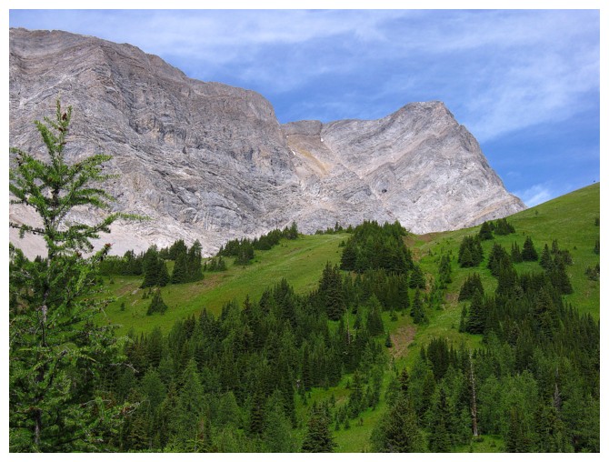
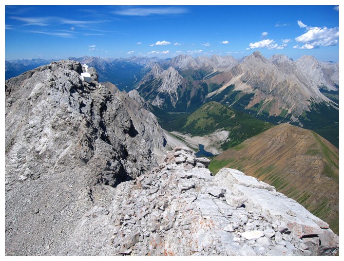
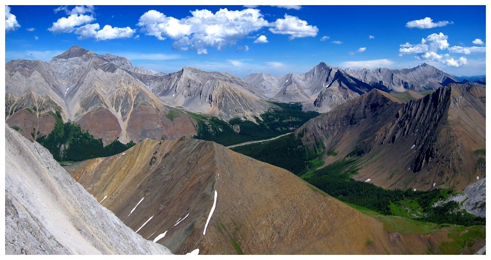
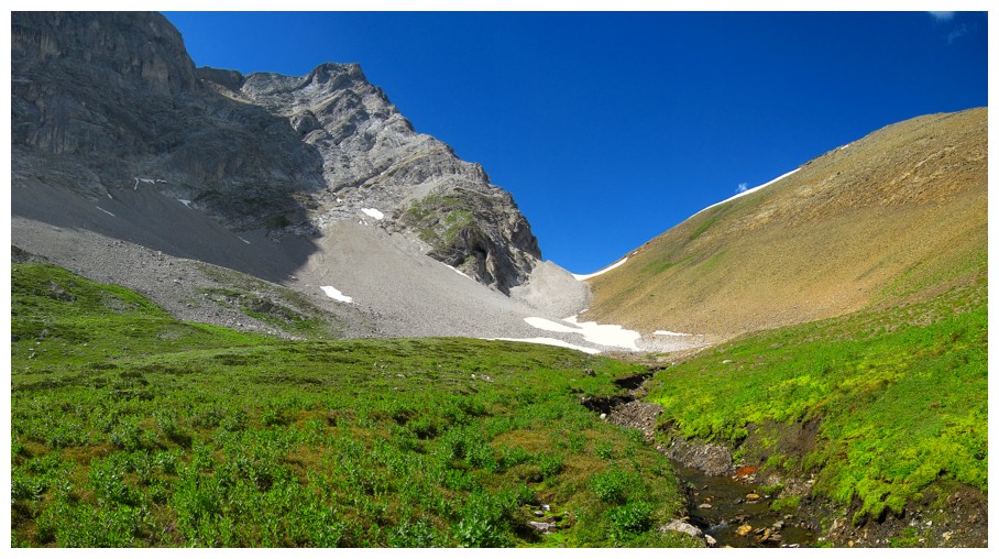
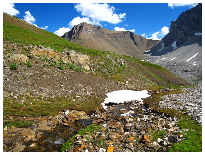
From Pocaterra Tarn, Pocaterra Ridge (right) and Pocaterra Mountain are visible. The weakness up the mountain is in the centre.
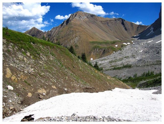
Better view of the weakness and the beautiful greens on Pocaterra Ridge
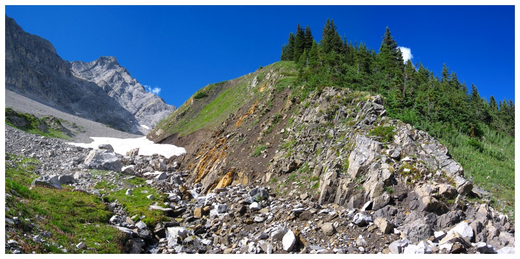
Hiking between the Ridge and the Mountain to the start of the east face route
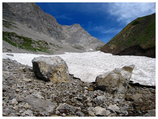
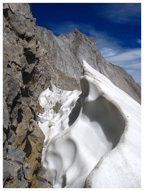
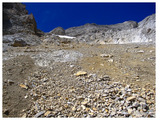
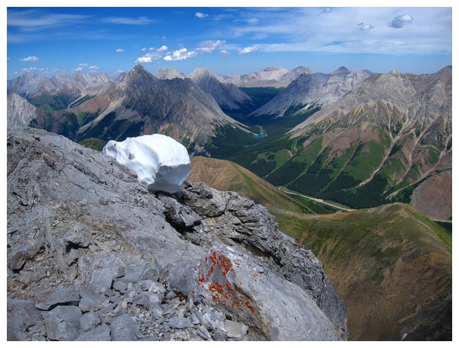
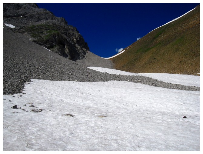
A little snow is never a bad thing

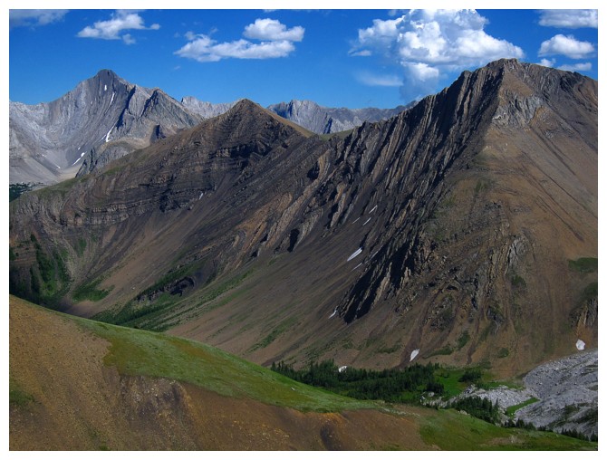
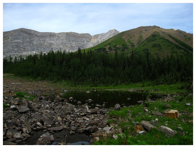
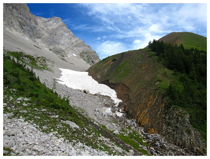
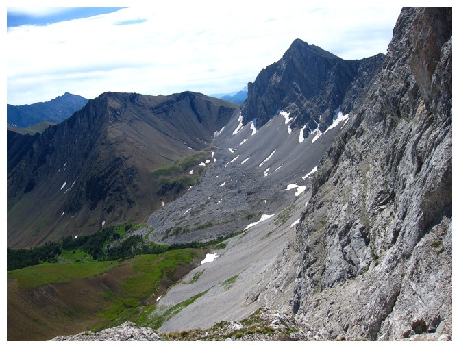
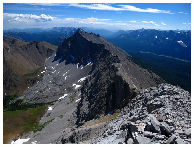
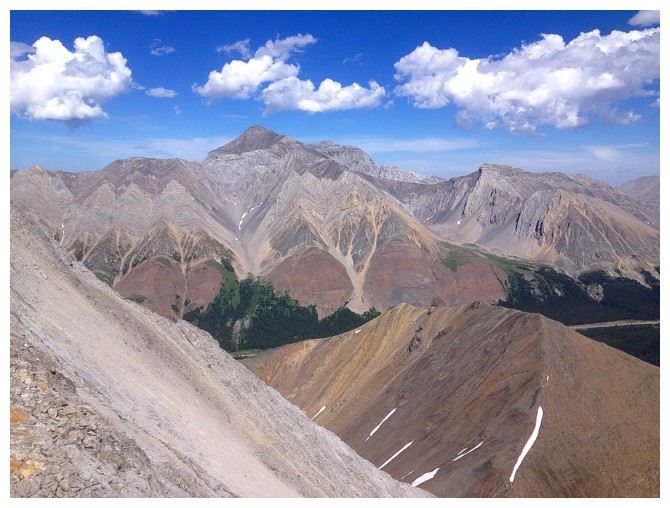
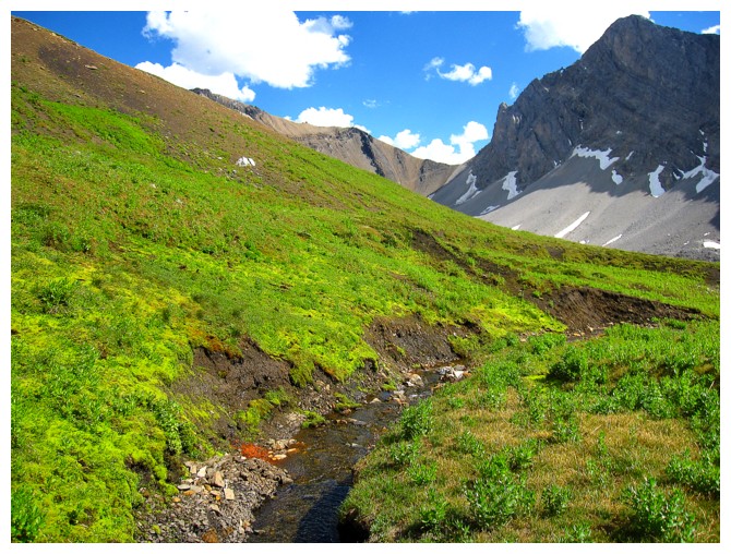
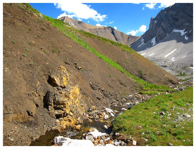
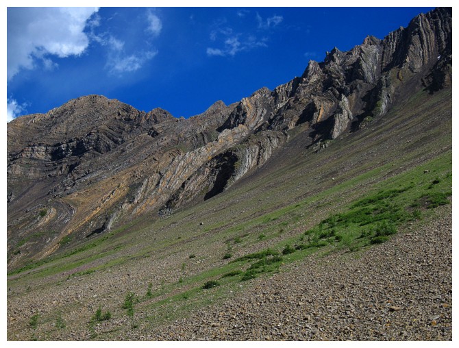
The contrasting geological characteristics of Pocaterra Ridge (right)
and Pocaterra Mountain are one of the coolest features in this part of
the Rockies. Another great example sits at Piper Pass, en route to Tombstone Mountain North.
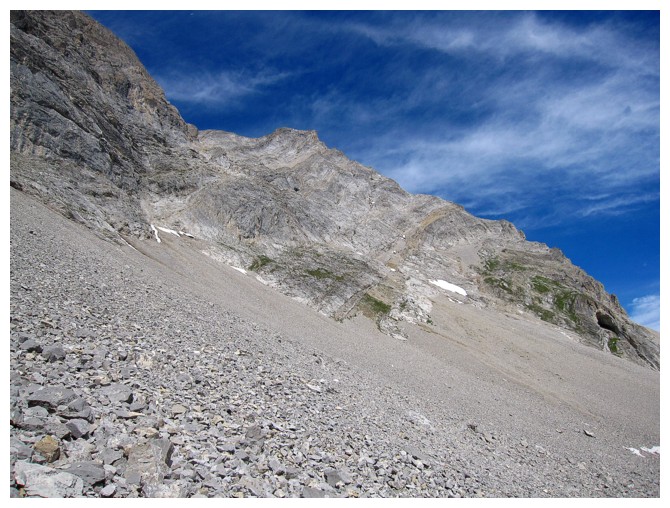
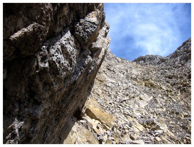
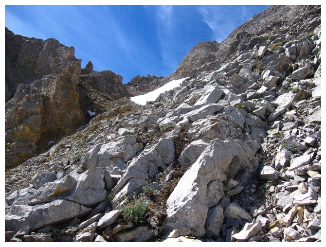
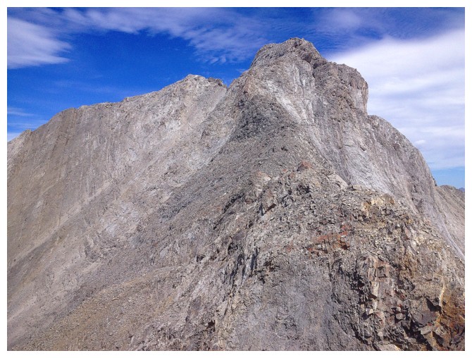
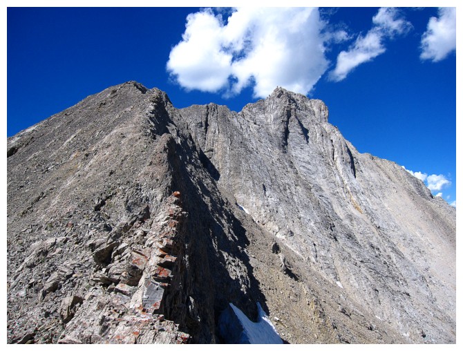
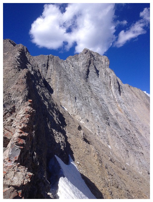
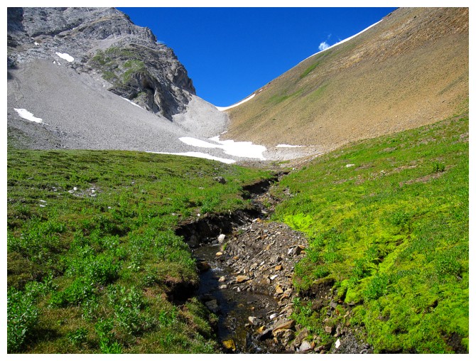
The route goes up here near the left side
Maybe this character can show me the way
Looking up some of the route...
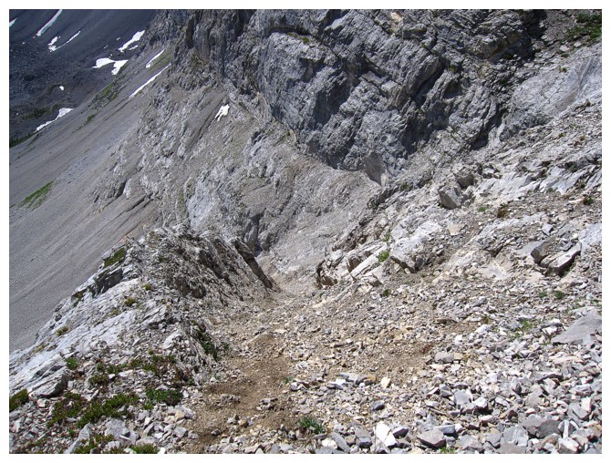
...looking down it
Mount Rae looks a bit taller than Pocaterra Ridge, but in fact it's almost 600 metres taller
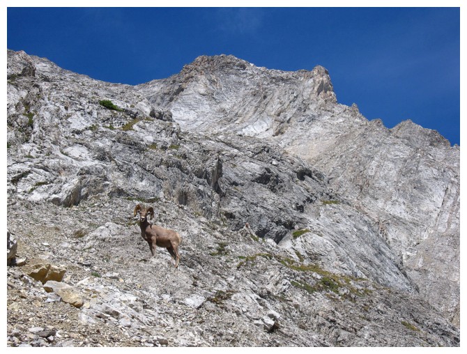
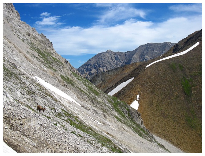
I always delusionally think that when a ram is looking my way, he instinctively realizes I'm a St. Louis/Los Angeles Ram fan!
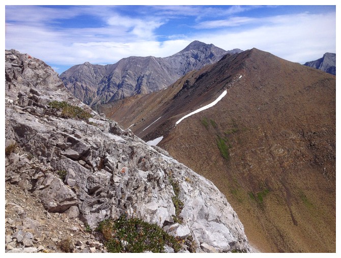
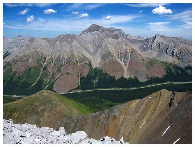
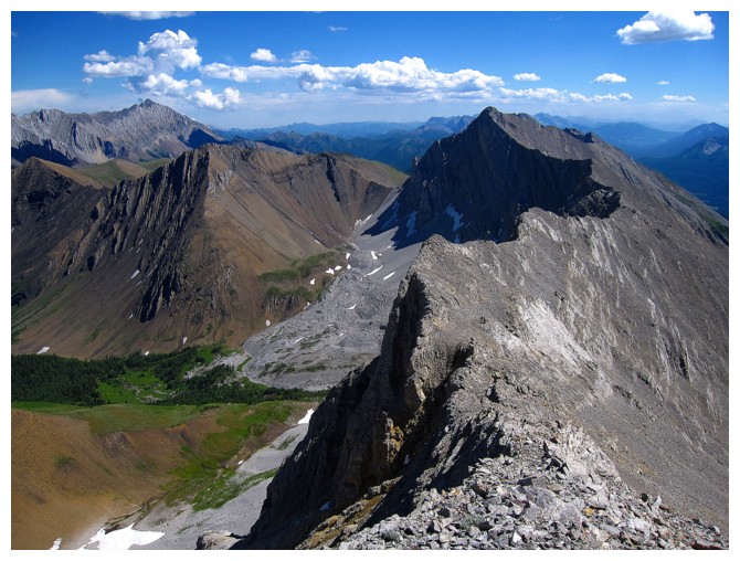
Mount Tyrwhitt (right) and Grizzly Ridge
Stunning blue sky. The route goes up to the snow, then traverses up to the ridge.
Approaching the snow
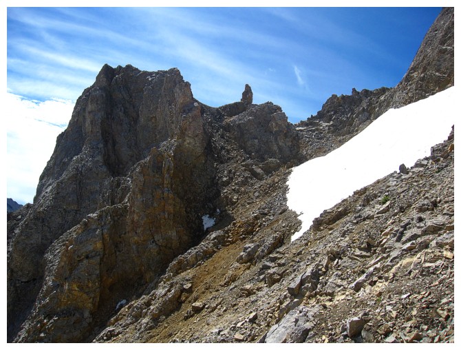
Aim for the pinnacle in the centre
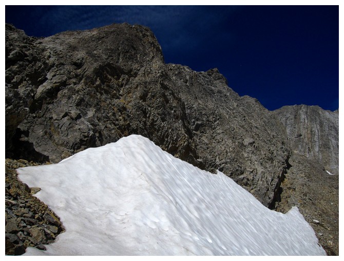
Got distracted by this snow bank just before reaching the ridge
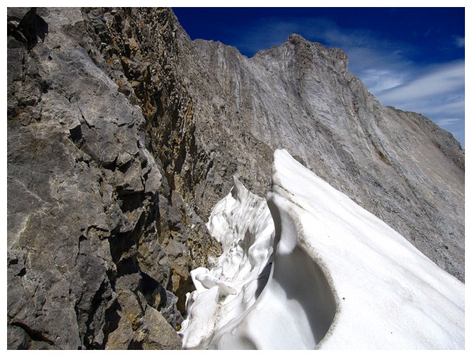
The snow and the summit ridge

At the pinnacle
Almost on the ridge
The imposing northeast side of Mount Joffre. Still haven't got to the summit of that one, in spite of several attempts.
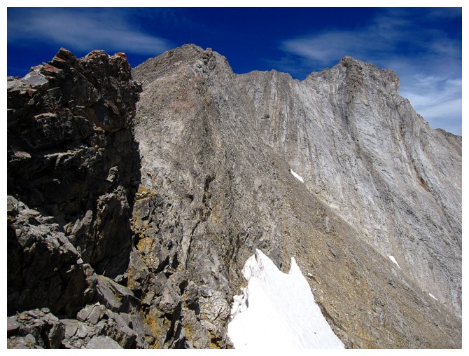
Looking down the route again
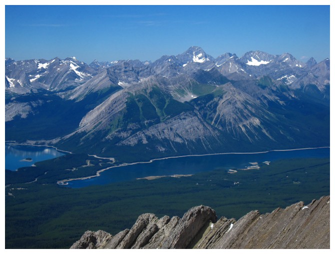
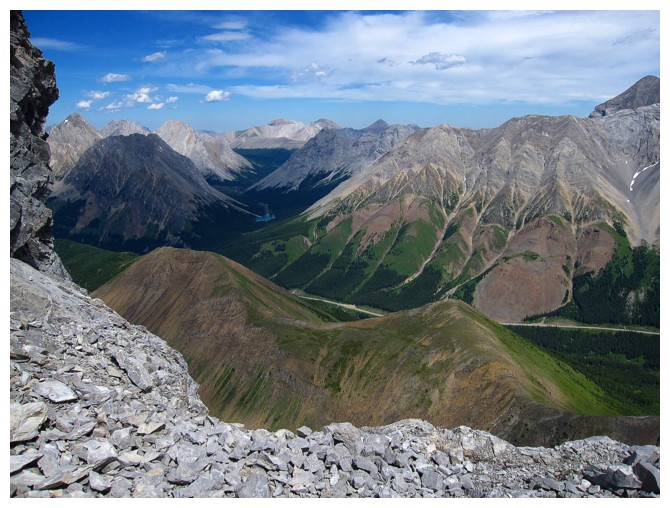
Portions of the Upper and Lower Kananaskis Lakes, backdropped by mountains of the British Military Group
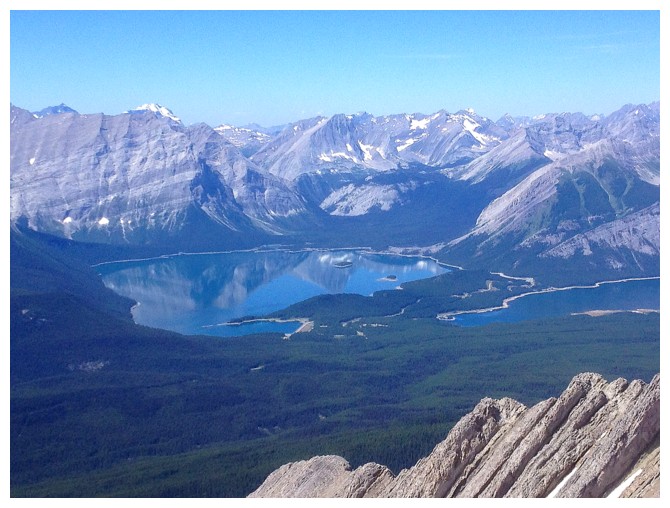
Nearby mounts Foch (left) and Sarrail (centre), and distant Mount King George at the right
Heading up the ridge. The terrain quickly becomes quite challenging. Some of the difficulties can by bypassed on the left side.
Pocaterra Ridge is suddenly looking very low
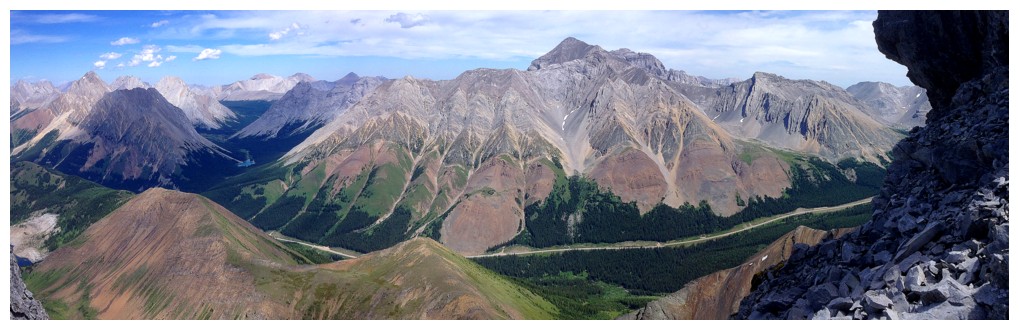
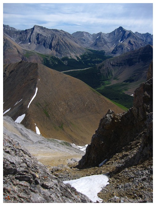
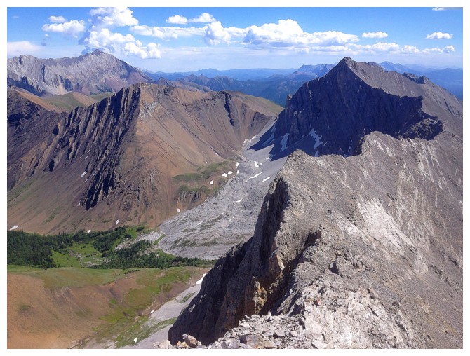
The view to the east showcases almost everything in the Highwood area
Congrats to that snow for hanging on into late July!
Elbow Lake makes an appearance
Massive Mount Rae
Closing in on the summit. Note the seasonal tarn in the centre. Later in the year it usually dries up completely.
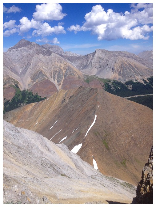
Grizzly Ridge and Highwood Peaks in the middle; Storm and Mist Mountains in the background.
The ridge over to Tyrwhitt is super cool but traversing it twice, to and from Tyrwhitt is quite exhausting
Many of the above
Fixated on that ridge again
Descending and looking back at a couple of scramblers on the ridge
Intriguing colours
Almost back at the point where I gained the ridge
Arrived and ready to descend to the valley
Almost down
Amazing colours with the clearest skies of the day
Here comes Greenville - population ME!
Leaving Greenville

Regrettably leaving this sublime area
Parting look at the Ridge and the Mountain
Super cool layers of rock on Grizzly Ridge
The End
LOG